
Author Archives: WolfeStreetTravel
Protected: Panama: Uber Changes Everything
Protected: Santorini – The Best Reason to Visit Greece
The Plantation Ruins Hidden in National Airport’s Parking Garage
We’re still sorting through photos from Morocco, so in the meantime, a quick post closer to home about some nearby history hidden in plain sight.
Within the parking garage at Reagan National Airport just north of Old Town there lies the ruins of a colonial-era plantation connected to George Washington. The ruins are completely enveloped by the parking garage structure, but you can tell where the plantation ruins are as you’re driving by on the parkway by the looking for the trees that appear to grow out of the parking garage roof.
After seeing this for years, and as consummate history dorks, we checked it out.
Abingdon Plantation ruins’ green space within the garage from in a satellite view on Google Maps:

There are a few signs in the Reagan National Airport parking garage leading to the ruins of Abingdon plantation. However, considering that most people parking there need to catch a flight and don’t have time to wander around to see the landmark, we’re no sure how often the spot actually gets visitors.
However, since National Airport is a short bike ride away for us, we rode there on the way to a longer ride up the Capital Crescent Trail to Bethesda for lunch. There’s actually biking infrastructure involving a few paths, a tunnel, and the parking garage that connects National Airport to the Mt. Vernon bike trail next to the parkway. (We have a friend around the corner who used to tow one of his kids in a Burley and bike from Old Town to the National Airport terminal for lunch at Legal Seafoods, which is located outside security. Go figure.)

The first helpful sign in the ground level of the garage near the bike entrance:
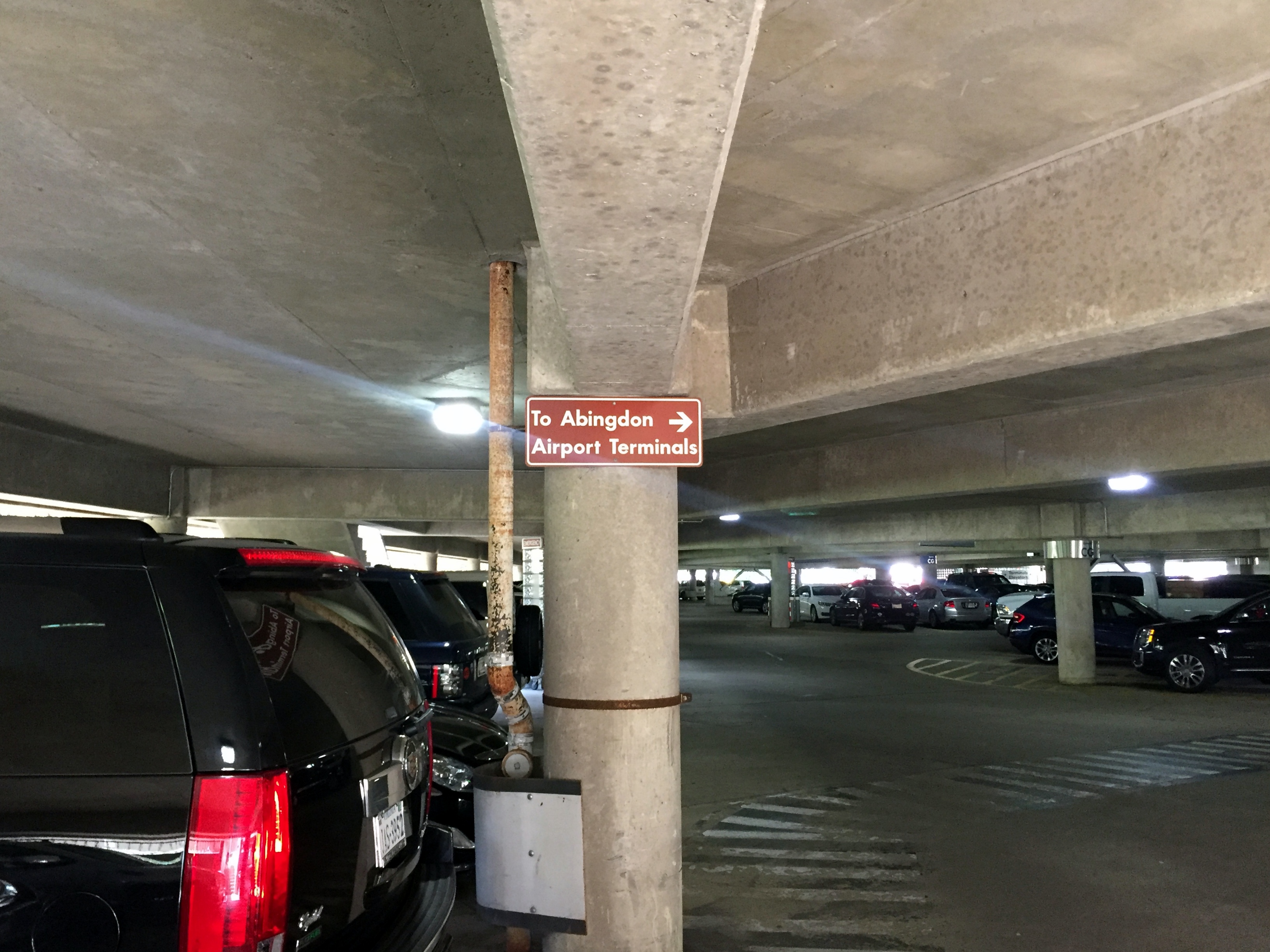
Directions to the plantation ruins in the breezeway between the terminal and parking garage:

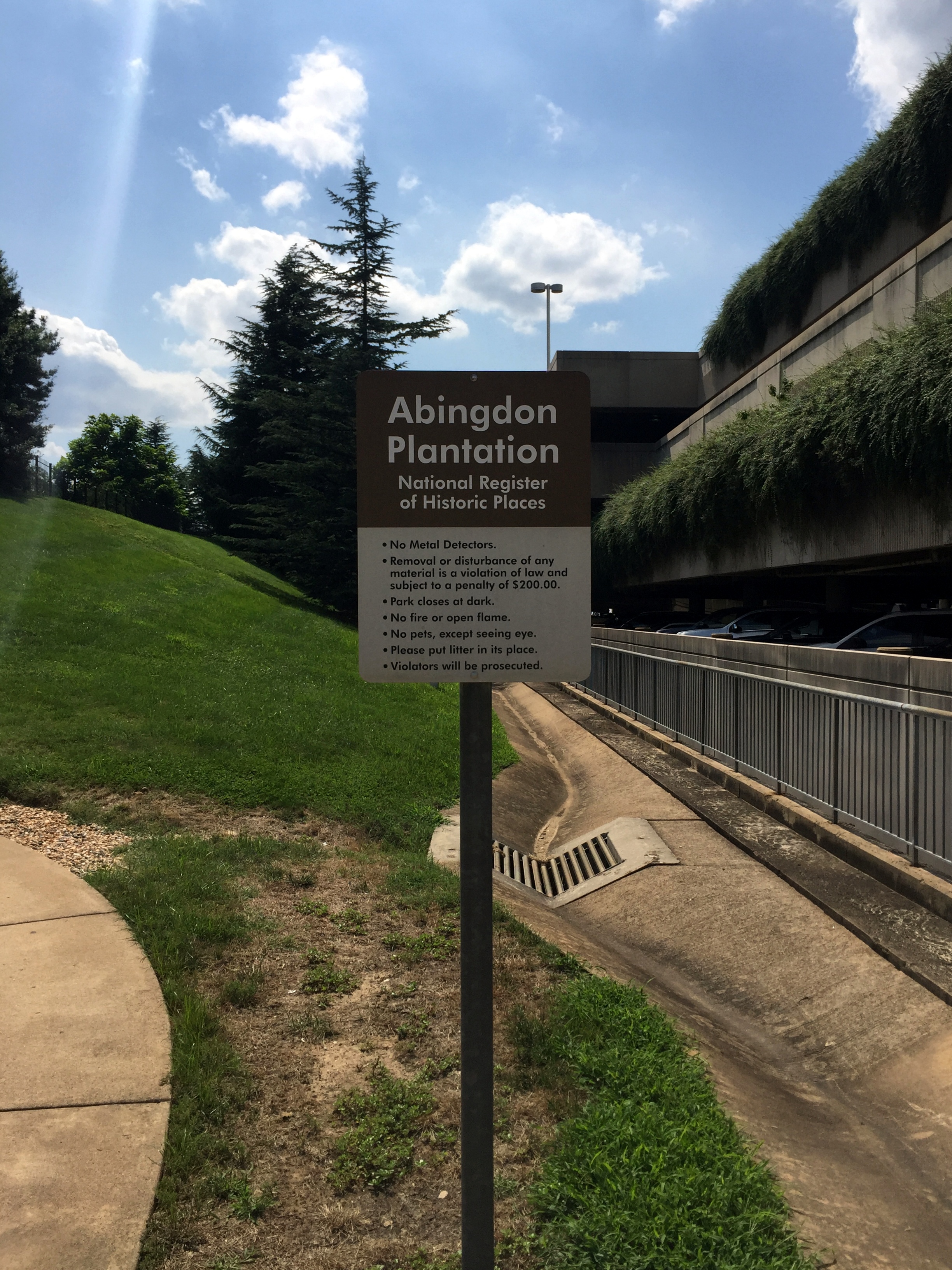
Entrance sign to the plantation ruins; Parking Garage B is to the right:
The ruins are just up a path:

Remains of the main house with the airport terminal in the background:

Context of the ruins within the airport from signage at the site:

Remains of the kitchen building with Parking Garage C behind it:

Lots o’ signage at the top of the mound, overlooking both the ruins and the terminal:
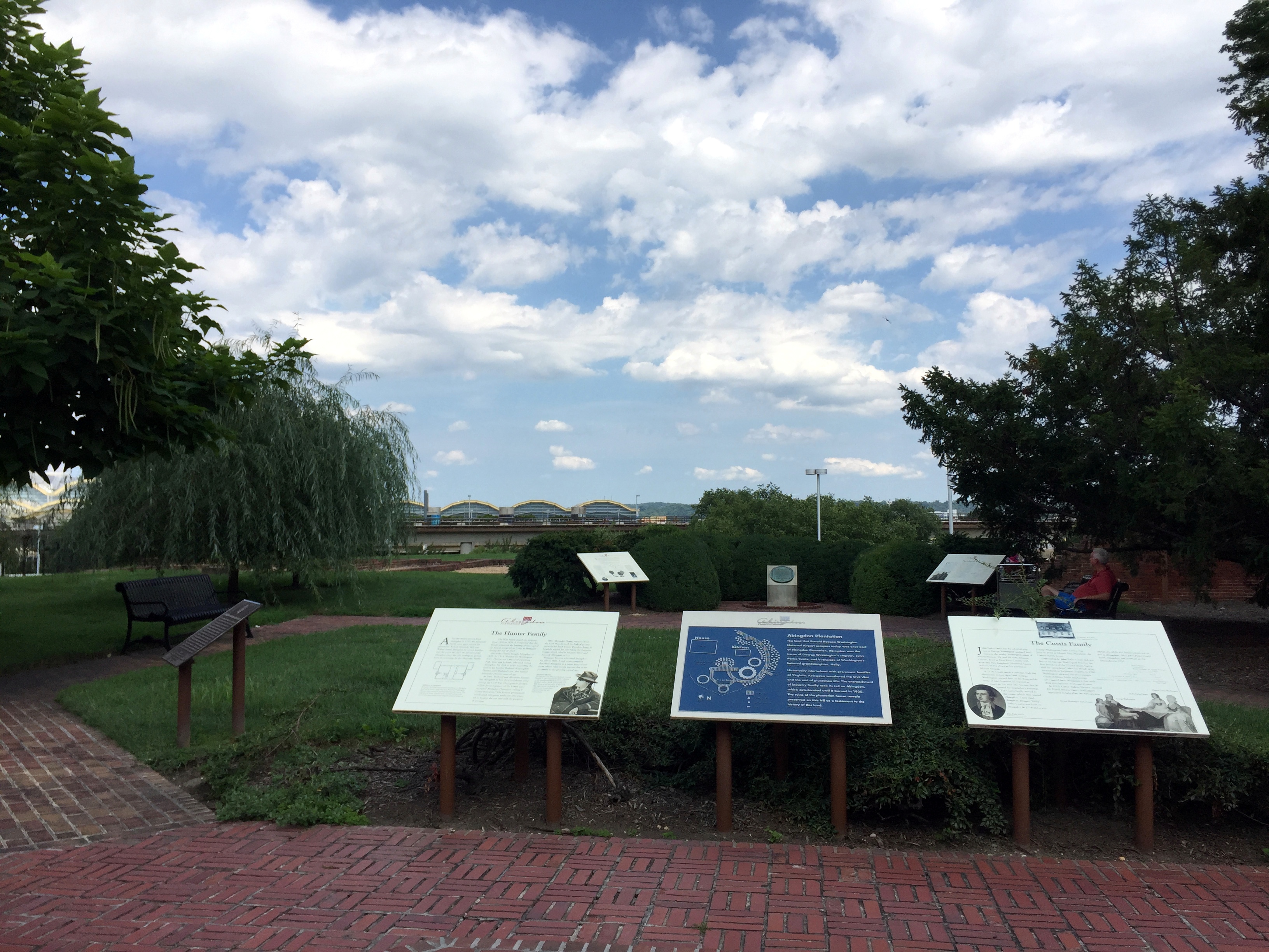
Layout of the ruins:

Pretty well done historical markers providing the history of the place:
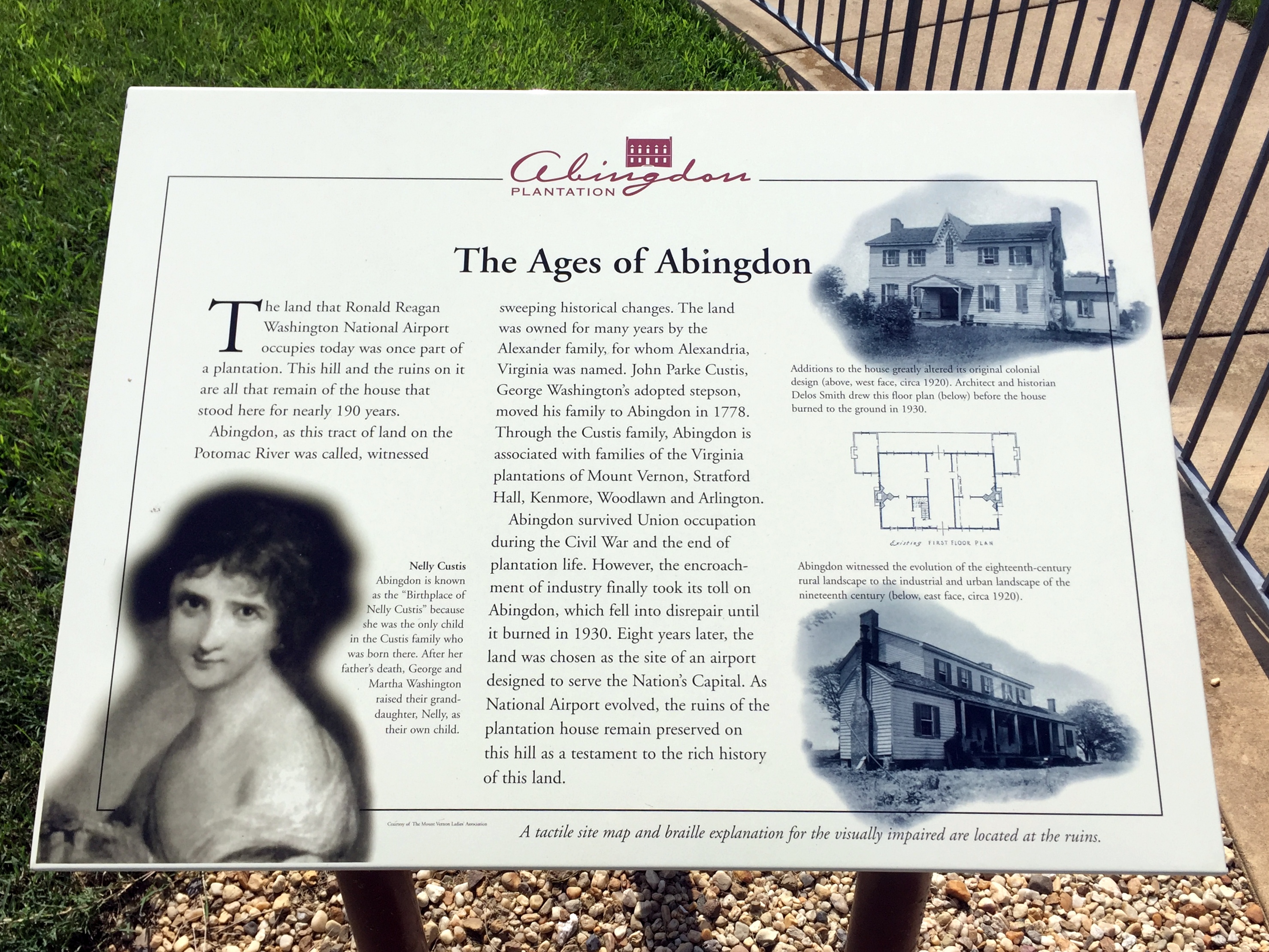
Instead of trying to read the signs, here’s an easier approach – this article on Atlas Obscura (which is an absolutely phenomenal site, btw):
“Abingdon was built in 1695 by the Alexander family, whose name was later conveyed to the nearby port town that we know today as Alexandria. Years later, George Washington’s adopted stepson, John, purchased the house so that he could live closer to the Washingtons’ home at Mount Vernon.
The property later reverted to the Alexander descendants, named Hunter, up until the Civil War when the confederate sympathizers fled south. Like the nearby Custis Lee Mansion (today, Arlington National Cemetery), Union troops took the property over and made camp on the lawns. After the war, the Hunters returned and successfully sued the government for rights to Abingdon. The lawyer, incidentally, was James Garfield, the future president of the United States.”


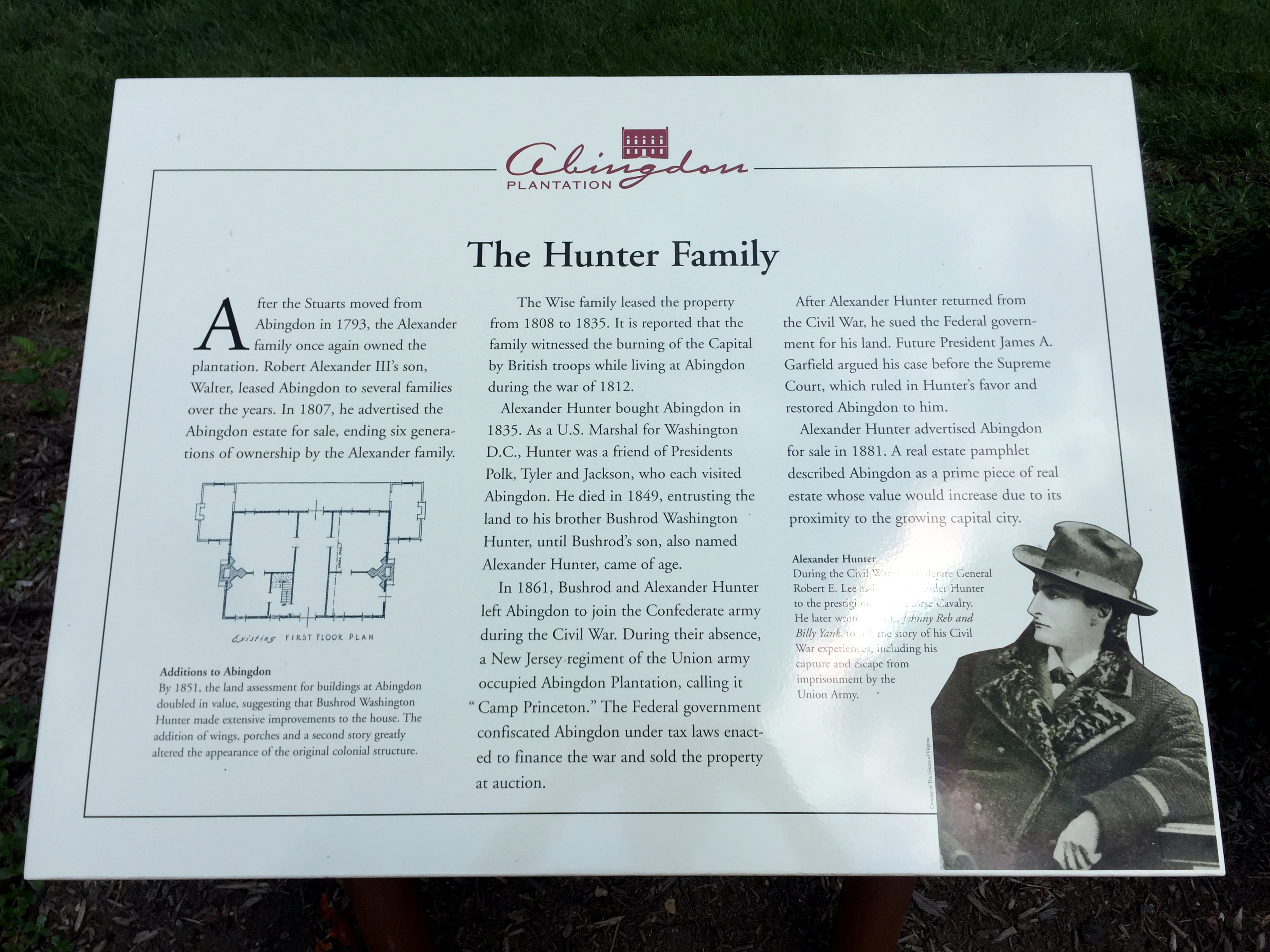

“The mansion itself burned down under suspicious circumstances in 1930. It was possibly an act of arson—the RF&P Railroad wanted to build on the site, and had previously “invited employees to strip the house” in order to “save demolition costs,” according to the Washington Post.
The ruins of Abingdon then sat abandoned for 11 years until Washington National Airport was built on landfill just north of the site. The airport’s continued expansion over the years again threatened Abingdon. In 1990, the Washington Metropolitan Airports Authority proposed bulldozing the fenced-off site to make way for a new parking garage. A vigorous preservation campaign played out in the city’s newspapers, and the ruins of Abingdon reopened in 1998 as a little park.”
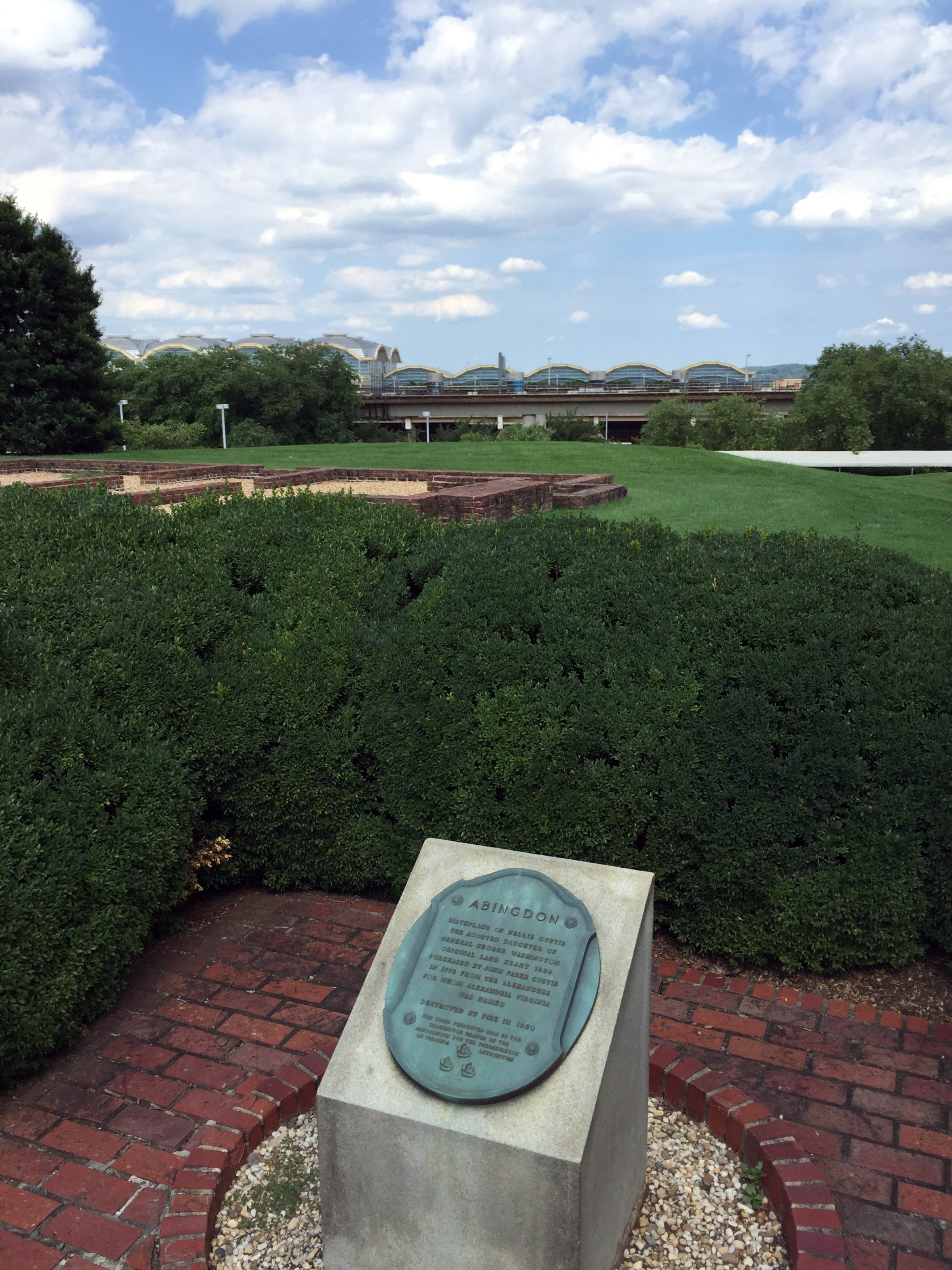
The George Washington connection: Abingdon is the birthplace of Eleanor “Nelly” Parke Custis Lewis, Martha Washington’s granddaughter:

Mount Vernon’s Hidden Entrance
Mount Vernon is located just south of us, right down the aptly named George Washington Parkway. Visitors to Mount Vernon pass through the main entrance, beyond which – and out of sight – lie the mansion, out buildings, and gardens.

There’s a great 30-mile-loop bike ride from Old Town we frequently use that passes by Mount Vernon as the route continues to the turnaround point in Yacht Haven, so we encounter the estate’s entrance several times a month.
However, the ride also passes by a different portal into the estate that tourists have no idea even exists: the overlooked West Gate.
Mount Vernon’s West Gate is located at the opposite end of the estate and off the parkway itself. The Google Earth image below shows the main entrance to Mount Vernon on the right (at the base of the roundabout) and the West Gate indicated by the red dot on the left.

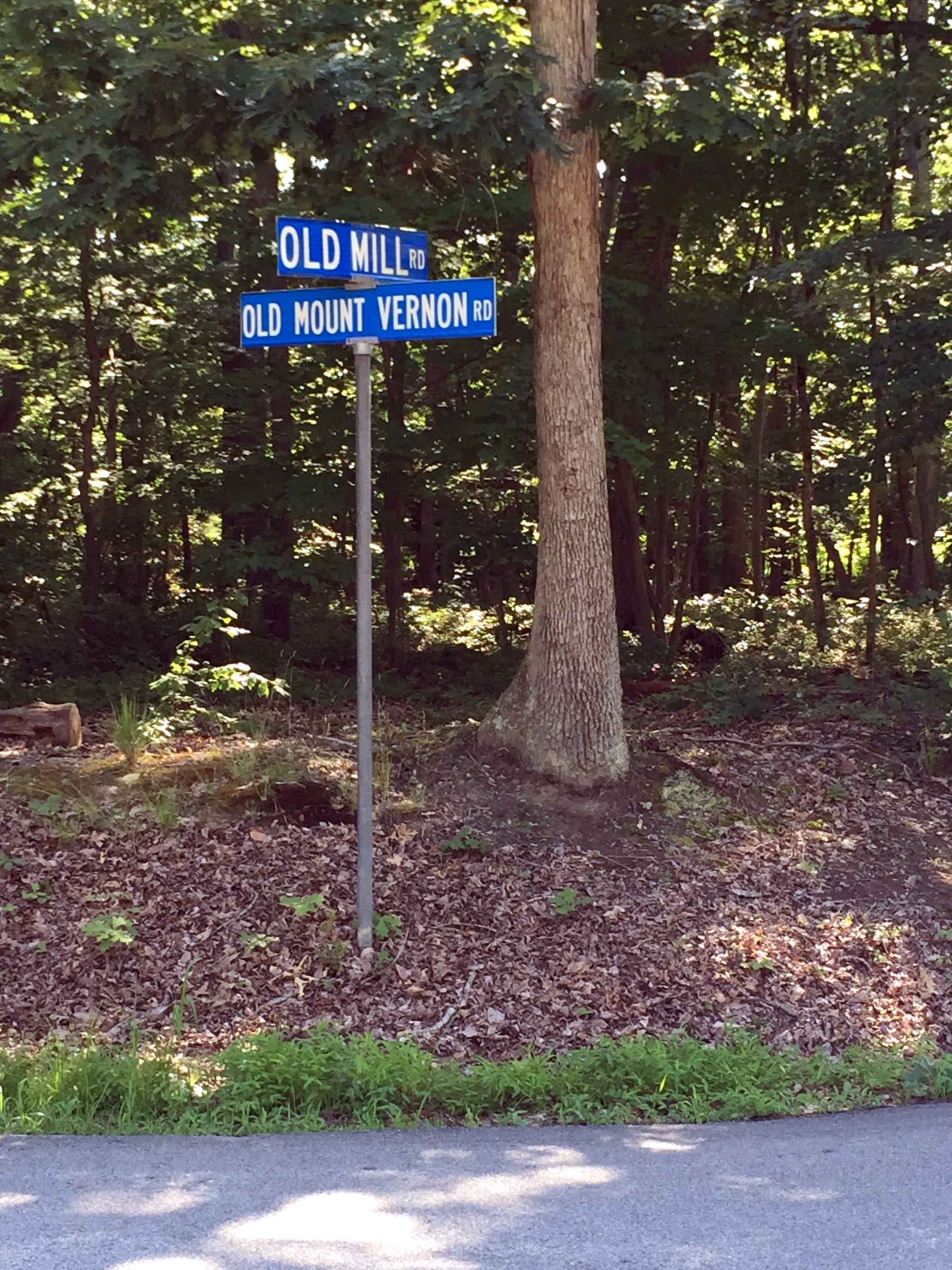
The gate lies along an unassuming stretch of the appropriately monikered Old Mount Vernon Road at its intersection with Old Mill Road:
The trajectory of Old Mill Road would continue straight through to the mansion, if not for the gate:

Beyond which lies Mount Vernon itself,
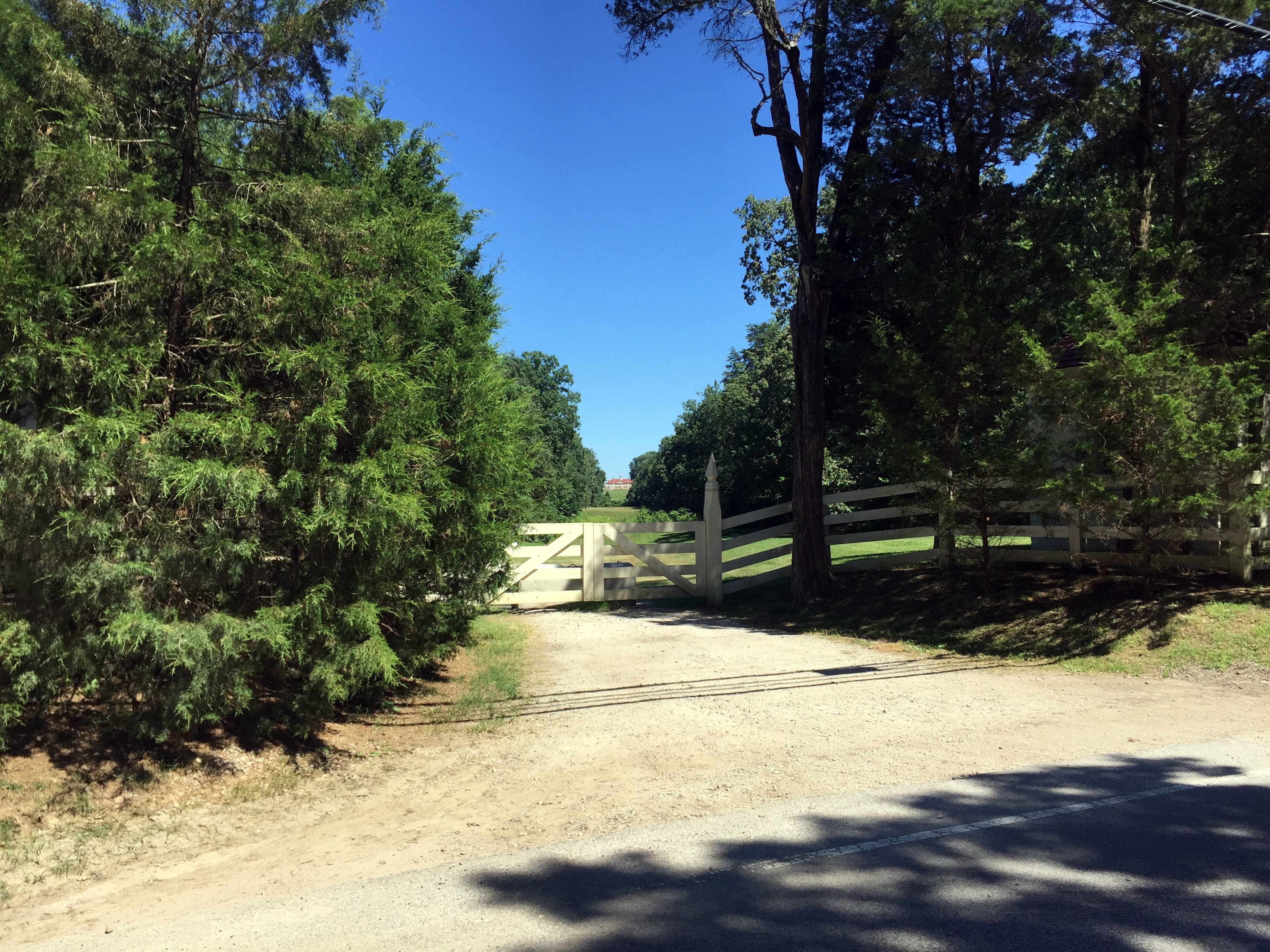
From the mountvernon.org site regarding traveling to Mount Vernon when George and Martha still occupied the estate: “Since the wharf on the Potomac River was reserved almost exclusively for deliveries, most of George Washington’s visitors arrived overland, on roads and paths that meandered past the fields and pastures surrounding the Mansion Farm House. Washington places a premium on first impressions. Visitors first sighted the Mansion from what is now known as the west gate. From there, they were afforded a “visto”, or view, of the west face of the Mansion, in front of which were cleared land and rolling hills for about seven-tenths of a mile.”
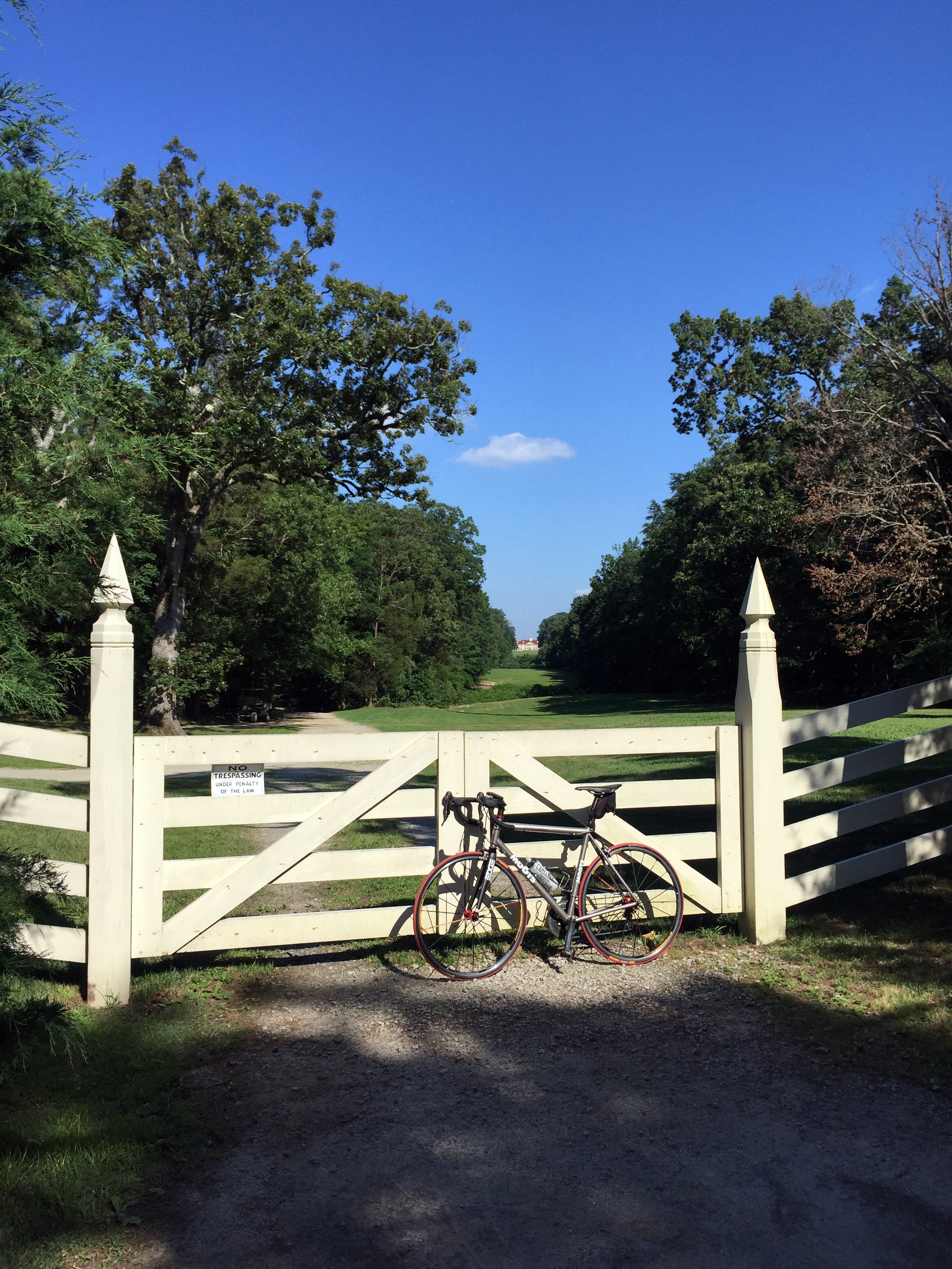
This 18th-century “visto” still exists, under the radar, and unknown to the tourists piling out of buses and filing into the main entrance:

Brief information on the West Gate right inside the barrier:


Definitely worth a look the next time you’re riding (or driving) near Mount Vernon:
The Abandoned Rodman Guns of Fort Foote
So, we were supposed to be publishing posts from our Edinburgh trip this weekend (as well as a bunch of other backlogged posts), but it’s too much work right now.
However, after a ride today over the Woodrow Wilson Bridge into Prince Georges County, we thought this may be interesting to share instead. All of the quoted information below is from this helpful National Park Service site.
Fort Foote was one of 68 ring forts constructed during the Civil War to protect the capital city from Confederate attack. It’s still around, but is well and truly hidden. Seriously. We grew up in the area, are well aware of Fort Hunt on our side of the Potomac and the massive Fort Washington on the opposite shore, and had never heard of Fort Foote. It took the 2008 opening of the Woodrow Wilson Bridge replacement – with outstanding pedestrian and bike infrastructure to reach Prince Georges County – to make us aware of its existence. Even with this revelation, it’s still jarring to wander through the overgrown site, turn a corner, and stumble upon the massive abandoned Rodman guns.
Some background on Fort Foote from the Park Service:
“In 1862 the battle between the Monitor and Merrimac, at Hampton Roads, created panic in Washington. As the war progressed, many European countries seemed eager to join the fight on the side of the Confederacy. Fort Washington, on the Potomac River 16 miles below Washington was considered too far away to be adequately supported. Therefore the protection of the city from naval attack became a major concern and army engineers began building earthworks to resist naval bombardment.”
“In the words of General Barnard they were “in many respects, model works. Fort Foote was constructed for the purpose of defending, in connection with Battery Rogers, the water approach to the city.”
Battery Rodgers, as it happens, is just a few blocks away from us in Old Town – there’s a historical marker on the 800 block of South Lee Street, just a little west of where the battery stood during the Civil War.
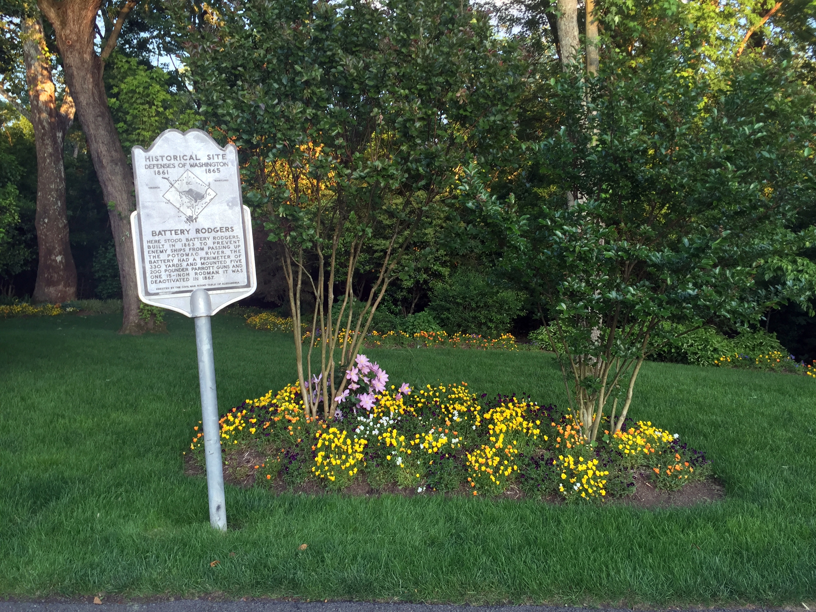

“Fort Foote was situated six miles below Washington,on a commanding bluff of the Maryland shore, elevated 100 feet above the river. The fort was essentially completed in the fall of 1863, and was designed as a water battery of eight 200-pounder Parrott rifles and two 15-inch guns.”
Location of Fort Foote (and Battery Rodgers):

The Saturday in May 2008 that the new bridge and bike lane opened, one of us headed across to explore, with Fort Washington as the destination for the ride. On the way, right on the curve of Fort Foote Road, was an unassuming sign in a field by an empty gravel parking lot.

There only signage in the park is a hundred yards into the woods, where there’s barely a trail to follow:

Even from this location, there was no fort or guns to be seen. Only a long berm, overgrown with bushes and saplings. This turned out to be the remains of one of the earthworks.
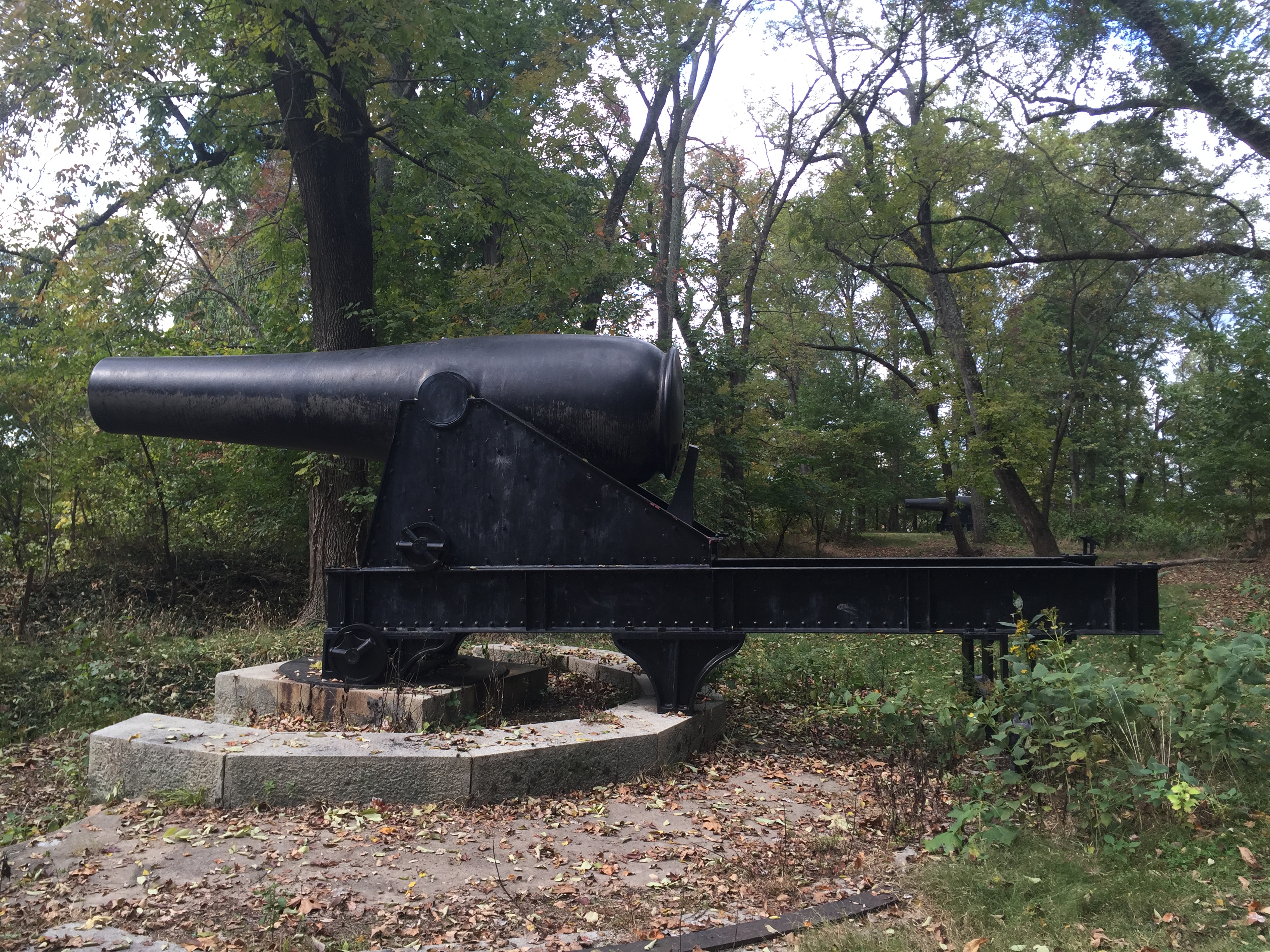
Beyond, lay one of the guns:

Some background on Fort Foote’s firepower during the Civil War from the Park Service site: “The first 15-inch gun arrived in the fall of 1863 and by April 1865 the fort boasted of two 15-inch Rodman Cannons, four 200 pounder Parrott Rifles and six 30 pounder Parrott Rifles. The work was declared complete on June 6, 1865. A large crowd of civilian and military observers gathered to watch the guns fire on February 27 and again on April 1, 1864. The 8-inch Parrott Rifles weighed over 8 tons and used 16 pounds of powder to fire its 200-pound projectile 2,000 yards down the river. But the fort’s main attraction was the 15-inch [Rodmans]. They weighed in at 25 tons and required 300 to 400 soldiers to move them up the bluff from the river. Forty pounds of powder could send a 440-pound round-shot over 5,000 yards.”
It’s difficult to convey how truly huge these mothers are without some perspective, even from a shot this close:
So, some perspective:

The guns are massive, and they’re basically just abandoned in the woods. “During the Civil War the 15-inch guns cost the government $9,000 each but they could do major damage to a wood sailing ship-of-war. At close range, even the iron clads were not safe from the massive weapons.”
“During our Civil War most European navies armed their vessels with 9-inch rifled guns. Other technologies such as the screw propeller, steam engine, rotating gun turret and iron-sided ships with watertight compartments were making our seacoast defenses obsolete. Our government could not afford an arms races so it was decided to wait and see how the gun versus ship race progressed before investing in changes. In 1870, the army started an extensive program to modify existing defenses. Inexpensive earthwork batteries were armed with existing smoothbore guns, primarily the 15-inch Rodman. A few guns were mounted but funds were withdrawn in 1875. The Chief of Engineers stated in his 1877 annual report, “Our largest guns, of which we have any number, is a 15-inch smooth-bore, and weighs over 25 ton. We have about 325 of them for our entire coast of 12,600 miles.”
The 15-inch gun was finally tested at Sandy Hook, NJ in 1883. It was found that 130 pounds of black-powder created 25,000 pounds of pressure in the chamber and at 20 degrees elevation the gun could send a 440-pound shell over 3 1/2 miles. At 1,000 yards the round-ball projectile could pierce 10 inches of iron. No warship, regardless of how well armored, could afford to trade shots with a 15-inch Rodman at close range.”
I’ve brought riding partners to the site when they join me for the ride east from Alexandria into PG County, and some have found more creative ways to provide the size context:

If you have 15 minutes to blow after a visit to National Harbor, Fort Foote is worth checking out. Unassuming, overgrown, and with two big ass Rodman guns sitting in a sylvan setting as incongruous reminders of the site’s power for a few years in the 1860s. The now-homely site even hosted some notables during the war:
“The first unit to garrison Fort Foote was four companies of the 9th New York Heavy Artillery that arrived on August 12, 1863. The post was commanded by lieutenant Colonel William H. Seward, Jr., the son of the Secretary of State. The secretary visited the post often while his son was in command and President Lincoln visited the fort on August 20, 1863 with the Secretary of War and number of high-ranking army officers.”


