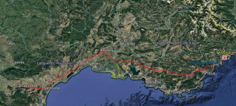
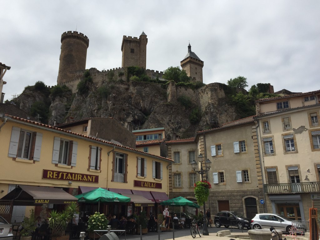
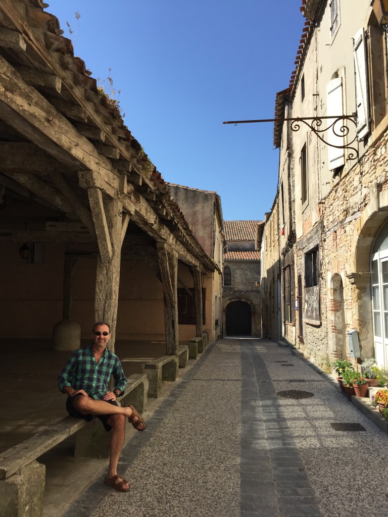
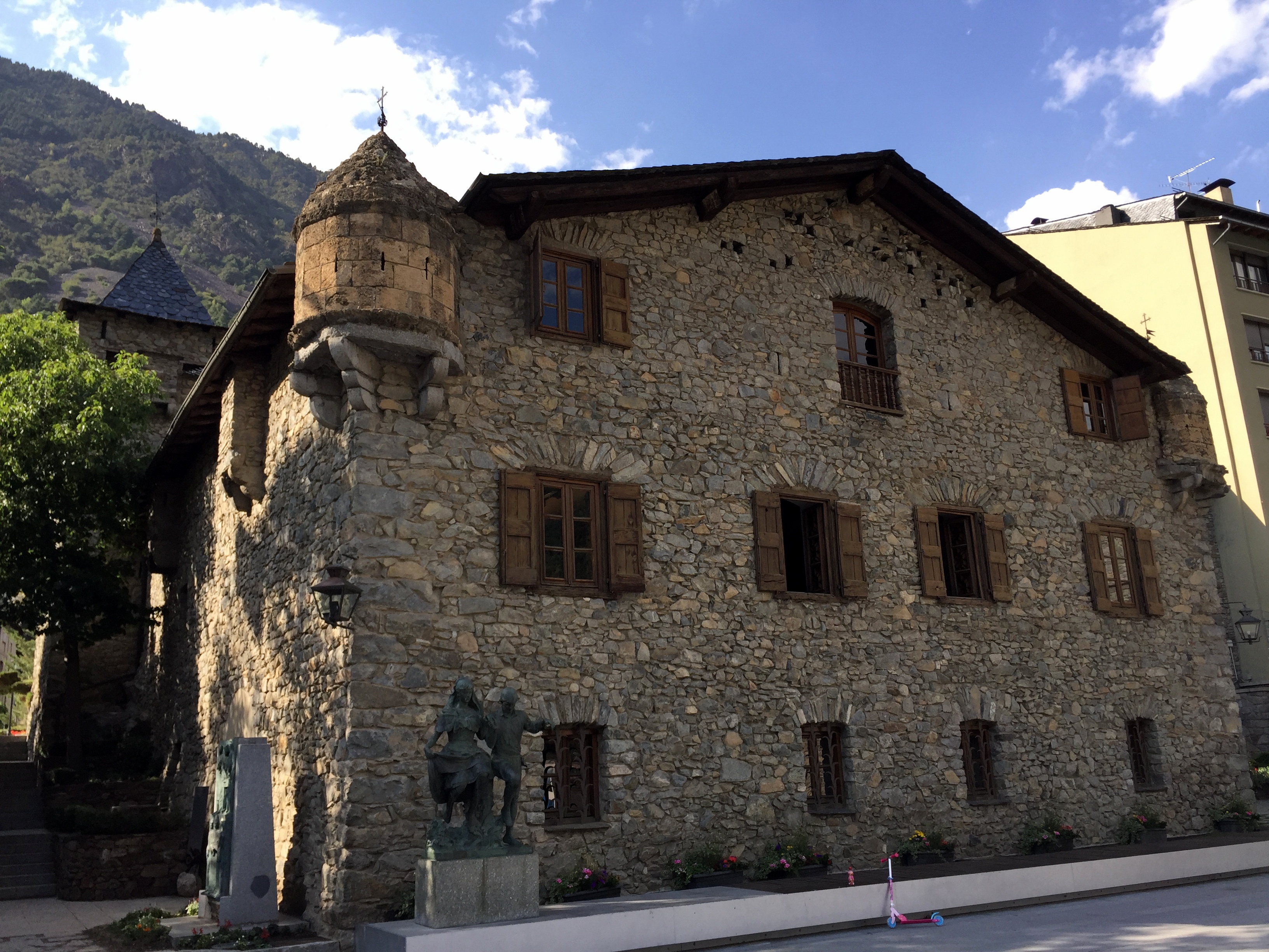
So, we’re finally getting around to publishing posts from the “Tiniest 5 for the Big 5-0” road trip last year. We have an inordinately high level of interest in the microstates, which, although ridiculous, was nonetheless explained in our initial post on the trip planning.
Last July’s Magical Microstate Tour began with what we’re sure is the most visited tiny territory of them all – Vatican City, located within the city of Rome:

For what it’s worth, we weren’t particularly excited about Vatican City because it’s the least exotic and most known of the microstates. Our expectations in this regard were pretty much met – interesting, but certainly not fascinating.
State Synopsis
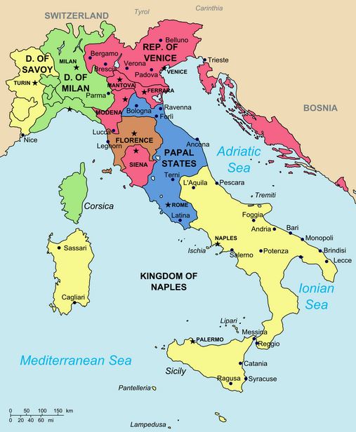
History: Starting in the 700s and continuing until the 19th century, the pope controlled a hell of a lot more than the postage stamp that Vatican City currently occupies. Although the popes began collecting properties before the 8th century, the millennium-long history of the Papal States really began with the Donation of Pepin. In the 750s, the Lombards had overrun the last remnants of the Roman Empire in Italy around Ravenna, and were demanding the submission of Rome and tribute from the Papacy. Pope Stephen II sent envoys to Pepin the Short, King of the Franks (as well as father of Charlemagne and founder of the Carolingian Empire) requesting his support in resisting the Lombards. In return for an official coronation by Pope Stephen, Pepin and his Frankish army forced the Lombard king to cede their recent Italian conquests. Pepin then conferred upon the pope these territories in 756:

The Papal States in the early 1800s, prior to Italian unification.
For more than a millennium, the Papal States occupied this chunk of Italy – waxing and waning over time, but always substantial. However, during Italian unification efforts in the 19th century, the Papal States were annexed and integrated into the secular state of Italy, leaving only the Holy See within the Vatican walls. The popes did not recognize the Italian king’s right to rule in Rome, and they refused to leave the Vatican compound in resistance of any move to integrate Vatican City.
Why it still exists: The impasse was resolved in 1929, when the Lateran Treaty between the Holy See and the Kingdom of Italy was signed by Benito Mussolini, on behalf of King Victor Emmanuel III, and by Cardinal Secretary of State Pietro Gasparri for Pope Pius XI. The treaty, which became effective on June 7,1929, established the independent State of Vatican City and reaffirmed the special status of Catholicism in Italy.
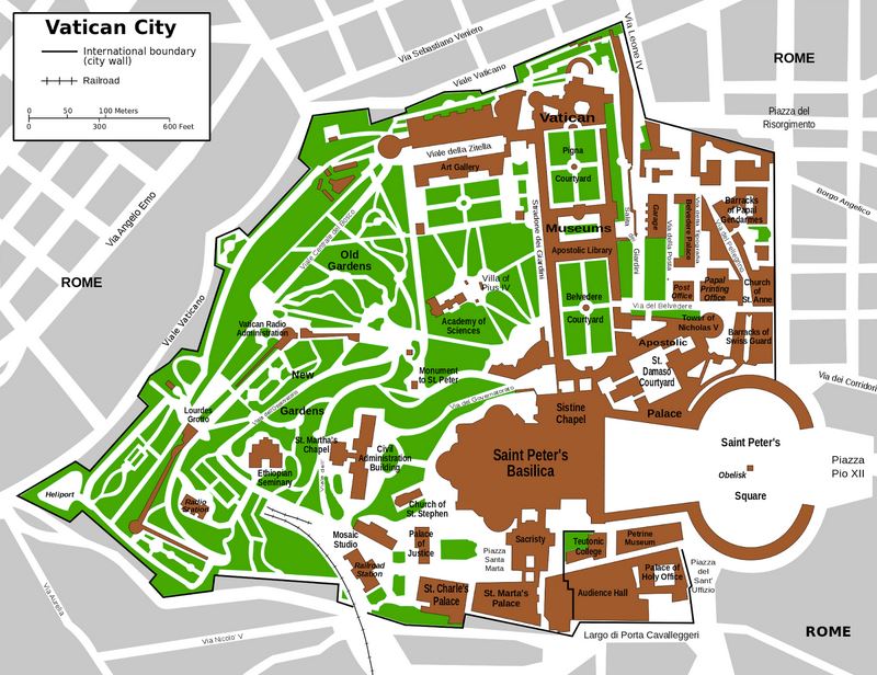
Absolute size: 0.17 square miles

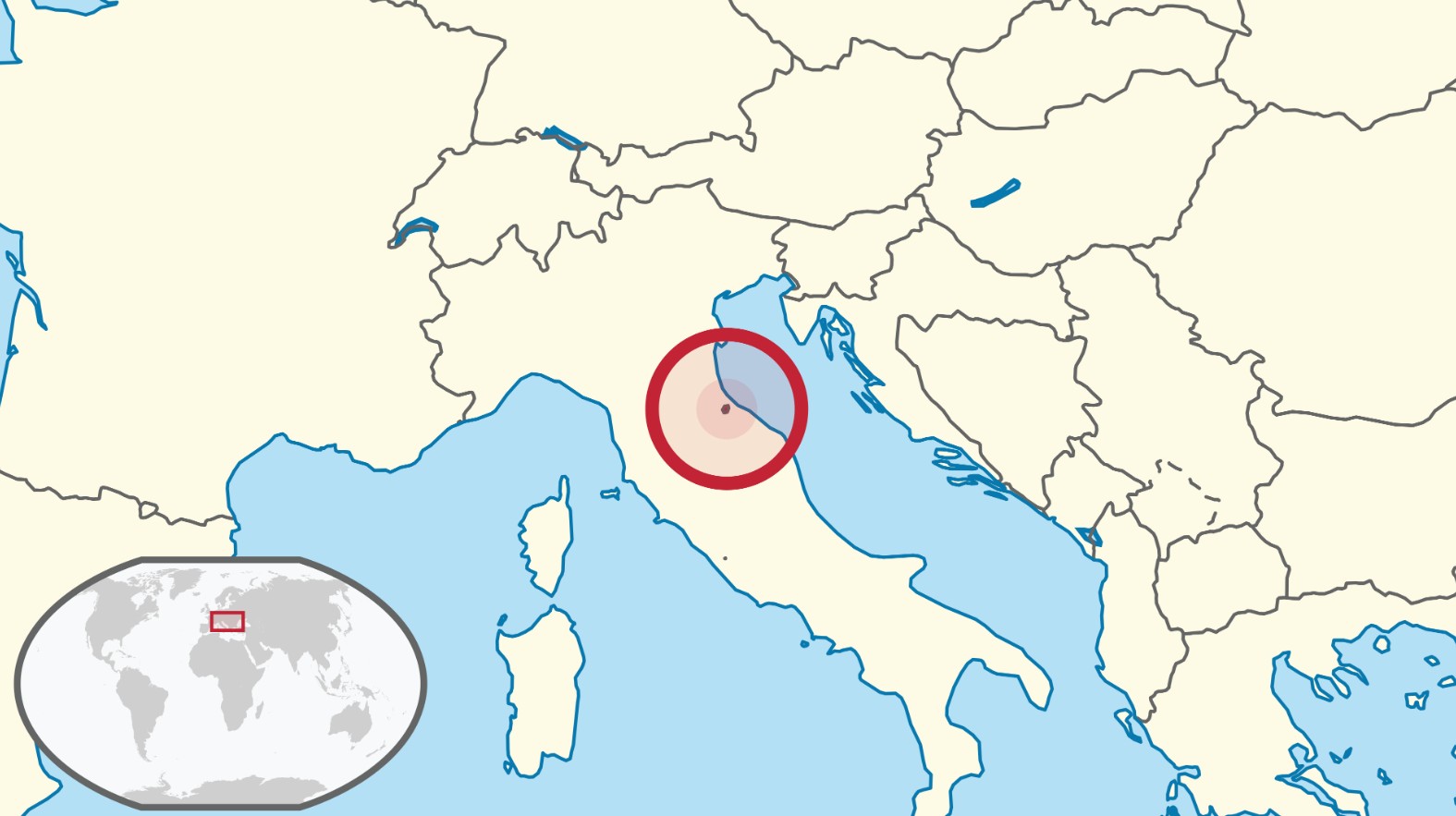
Relative size: Vatican City is the smallest of the five European microstates and is smaller than the City of Alexandria, at 15 square miles. Moreover, “Vatican City is the smallest state in the world by both area and population. However, formally it is not sovereign, with sovereignty being held by the Holy See.”*
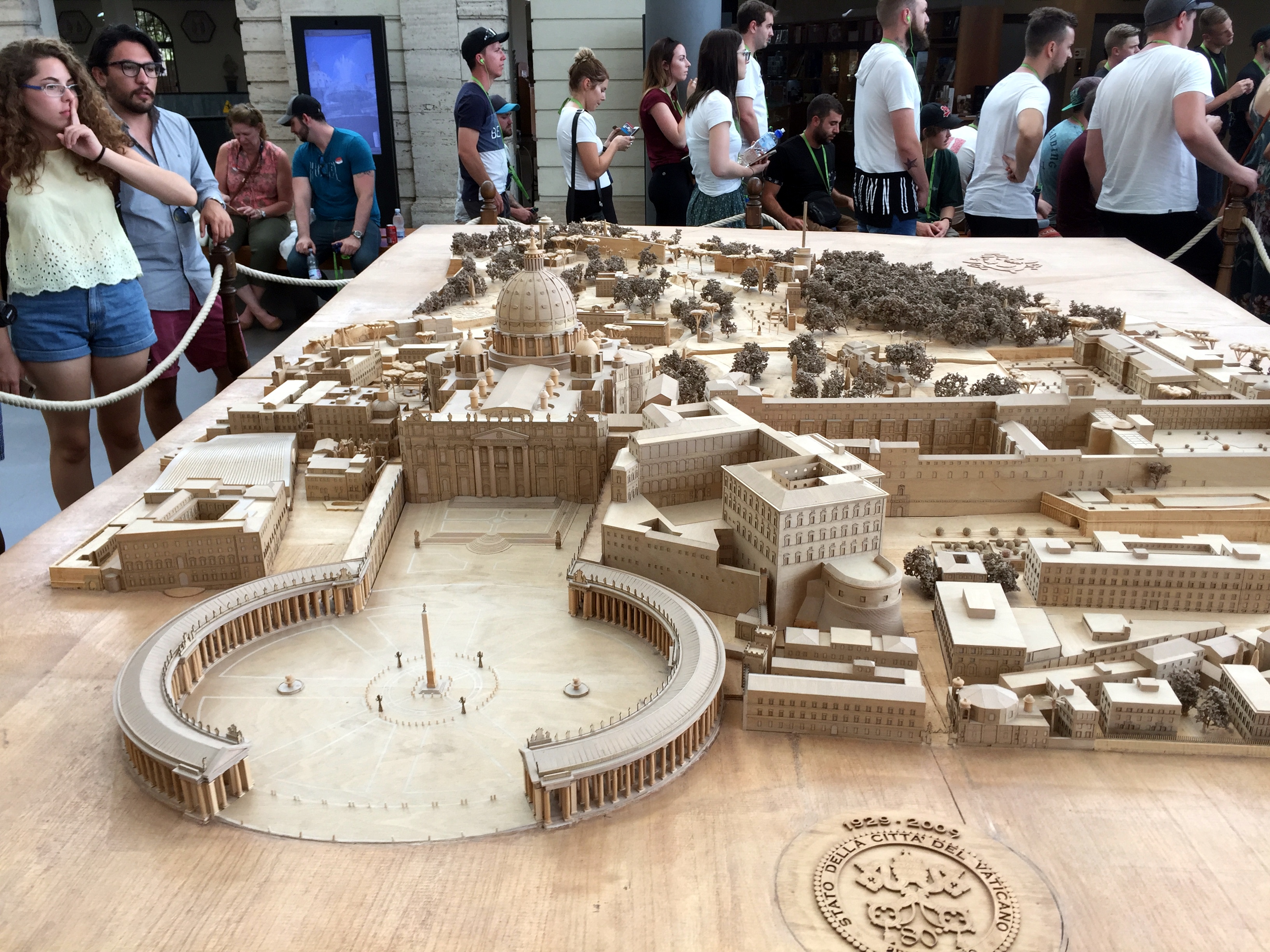
Scale model of Vatican City near the entry point:

Population: 600
Capital: Yeah, it’s Vatican City, so there you go.
Government: Vatican City is an absolute elective monarchy ruled by the pope. The location we visited officially is both the State of Vatican City and The Holy See. (The Holy See is the central government of the Catholic Church, while Vatican City is the independent state where the Holy See operates). The Holy See is a non-hereditary monarchy. (Speaking of which, Absolute Monarchs: A History of the Papacy, read in part during the road trip, is a wildly entertaining overview of the politics and personalities of the papacy, particularly in the early middle ages when the pope were pawns of powerful families or corrupt themselves. We’ll let Wikipedia summarize the relationship between Vatican City and the Holy See: The Holy See is the ecclesiastical jurisdiction of the Catholic Church in Rome, the episcopal see of the Pope, and an independent sovereign entity. As an independent sovereign entity, holding the Vatican City enclave in Rome as sovereign territory, it maintains diplomatic relations with other states.
Note that we would be remiss in not recognizing that the Popes did not always lead from their enclave in Rome – seven Popes (or anti-Popes, depending on with whom you were aligned) ruled from Avignon in the 14th century (which happens to have been the start and finish of our first bike trip in Europe . . .).
Tiny nation trivia: “At several times during the Vatican’s history, popes escaped through a secret passageway. In 1277, a half-mile-long elevated covered passageway, the Passetto di Borgo, was constructed to link the Vatican with the fortified Castel Sant’Angelo on the banks of the Tiber River. It served as an escape route for popes, most notably in 1527 when it likely saved the life of Pope Clement VII during the sack of Rome. As the forces of Holy Roman Emperor Charles V rampaged through the city and murdered priests and nuns, the Swiss Guard held back the enemy long enough to allow Clement to safely reach the Castel Sant’Angelo, although 147 of the pope’s forces lost their lives in the battle.”
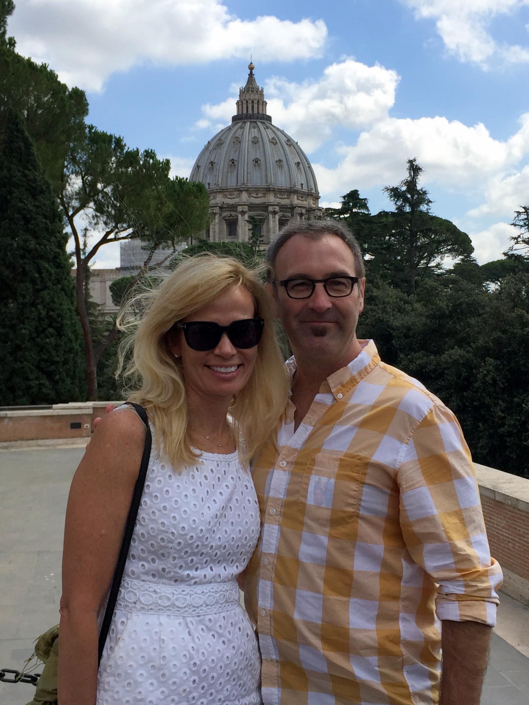
In the Vatican Gardens with St. Peter’s in the background:

Vatican stuff (most of the information comes from the Vatican Museum’s website:

1932 “Bramante Staircase” formed by a double helix

Vatican Gardens

The Courtyard of the “Pigna” is named after a colossal bronze pinecone, almost 4 metres high, which, in the classic age, stood near the Pantheon in Rome, known as the “Pigna quarter”; it was probably first moved to the atrium of the ancient St Peter’s Basilica during the Middle Ages and then moved here in 1608. Two bronze peacocks, copies of 2nd century A.D. originals in the Braccio Nuovo, flank the pinecone.

Sphere within Sphere in the Vatican Gardens

The Octagonal Court used to be known as the Cortile delle Statue. It was home to the first nucleus of antique classical statues in the pontifical collections when Pope Julius II della Rovere (1503-1513) displayed an extraordinary collection of antique sculpture here, aimed at bringing once again to life the Rome of the Caesars in the Rome of the Popes. During the late 1700s, when two Popes, Clement XIV and Pius VI, decided to transform the collection in a purpose-built museum, the Court was included in the new museum project and became its fulcrum. And although there have been many changes which have been made over the centuries, some of the sculptures on display, such as the Laocoön and the Belvedere Apollo, are in the places they have held since the early 1500s.

Belvedere Apollo. This statue was part of the collection which Cardinal Giuliano della Rovere held in his palace in Rome. When he was elected Pope as Julius II (1503-1513) the statues was transferred to the Vatican, where it has remained since at least 1508. The god, Apollo, moves forward majestically and seems to have just released an arrow from the bow which he originally carried in his left hand. The work has been dated to mid-way through the 2nd century A.D. and is considered to be a copy of an original bronze statue of 330-320 B.C. by Leochares, one of the artists who worked on the Mausoleum at Halicarnassus. The statue has always been greatly admired, but owes its fame particularly to Johann Joachim Winckelmann who considered it the sublime expression of Greek art, “of all the works of antiquity that have escaped destruction, the statue of Apollo represents the highest ideal of art”.

River God: Arno. This statue, which shows the river god in a traditional reclining pose, dates from the time of the Emperor Hadrian and was inspired by a Greek prototype. In the early 16th century it was displayed in the Courtyard of Statues (Cortile delle Statue) where it was part of a fountain, the basin of which is a sarcophagus dating from 170-180 A.D. decorated with scenes of battles between Greeks and Amazons. The statue was repaired and restored by various Renaissance artists, who replaced many parts, including the head with its expressive bearded face. A small lion’s head has been carved on the vase, also a restoration, which was probably made in homage to Pope Leo X Medici (1513-1521). These two elements suggest that the statue can be identified with the River Arno, which flows through Florence, though the presence of the feline, once thought to be a tiger, meant that for many years the statue was known as the River Tigris of the ancient Mesopotamia.

Laocoön. This statue group was found in 1506 on the Esquiline Hill in Rome and immediately identified as the Laocoön described by Pliny the Elder as a masterpiece of the sculptors of Rhodes. The story is that during the Trojan War, Laocoön, a priest of Apollo in the city of Troy, warned his fellow Trojans against taking in the wooden horse left by the Greeks outside the city gates. Athena and Poseidon, who were favouring the Greeks, sent two great sea-serpents which have wrapped their coils around Laocoön and his two sons and are killing them. From the Roman point of view, the death of these innocents was crucial to the decision of Aeneas, who heeded Laocoön’s warning, to flee Troy, and this led to the eventual founding of Rome. Such an important sculpture could not escape the notice of Pope Julius II (1503-1513) who bought it immediately and had it displayed in the Statues Courtyard (Cortile delle Statue), making it the centrepiece of the collection. There has been much debate over the date of the statue, which would seem to have been made around 40-30 B.C.

Octagonal Court doorway

Hall of Animals. The display in the two rooms which together make up the Hall of the Animals was set up under Pope Pius VI (1775-1799) with antique works of art, often much restored and sometimes completely re-worked, with the aim of creating a ‘stone zoo’. Many artists worked on the sculptures in this display during the 1700s, the most important of whom was Francesco Antonio Franzoni. For the displays were chosen works of art selected for their links with nature and the chase. In this Hall it is the animals who are the protagonists, and can be seen both in curious interactions between one another, and also in relation to heroes and gods of the ancient world. Coloured marbles were used to allude to the colours of the coat or plumage of various animals or, by contrast, to confer a particular colouristic effect on a work of art.

This gilded bronze statue was found in 1864 beneath the courtyard of the Palazzo Pio Righetti, near Campo de’ Fiori, and in the area of Pompey’s Theatre. Shortly afterwards it was given to Pope Pius IX (1846-1878). At the moment of discovery the statue was lying horizontally in a trench and covered by a slab of travertine on which the letters F C S (Fulgur Conditum Summanium) had been cut. The statue had, therefore, been struck by lightning and, following the Roman custom, had been granted a ritual burial together with the remains of a lamb. The statue was restored by Pietro Tenerani who made repairs using plaster and bronze. It shows a young Heracles leaning on his club, with the skin of the Nemean lion over his arm, and the apples of the Hesperides in his left hand. The work was, perhaps, inspired by a model from the Attic School of between 390 and 370 B.C. and has been variously dated to between the end of the 1st and the beginning of the 3rd century A.D.

This splendid work is made up of both antique parts and restoration work by Francesco Antonio Franzoni in 1788. The sculptor assembled the antique pieces of the chariot and one of the horses, then carved a second horse (the one on the left) and brought back to life a sculpture which can be considered as one of his masterpieces. The body of the chariot was used as the episcopal throne in the church of St Mark in Rome from at least 1516; it remained in the church until 1771 when it was given to Pope Clement XIV. On the outside of the chariot the lively decoration with poppies and ears of wheat is analogous with other figurative works from the Augustan period, such as the decoration of the Ara Pacis. Inside the chariot, at the centre, is the image of the Agyieus, the tapered column which is the iconic image of Apollo Agyieus, the protector of the streets.

Artemis of Ephesus. One of Artemis’ characteristics is that she protects fertility. This may be symbolized by the spherical objects that cover the lower part of her chest, but the common assumption that they are female breasts is incorrect. They probably represent the testicles of a bull, although they may also be gourds, which were known in Asia as fertility symbols for centuries.

Unusual eye treatment . . .

Passageway en route to the Sistine Chapel
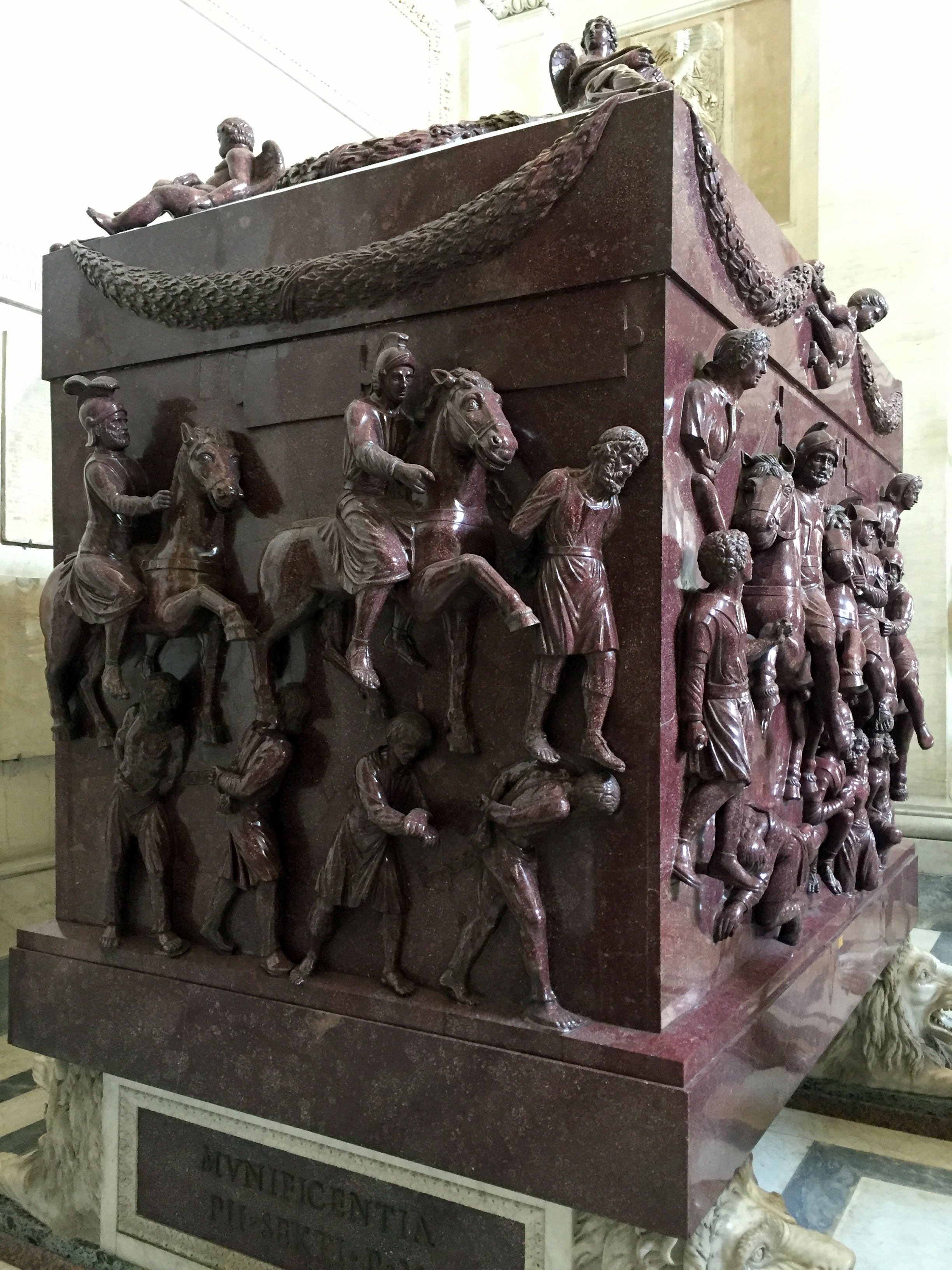
Sarcophagus of St Helena:

“This monumental red porphyry sarcophagus is believed to have held the remains of Helena, mother of Constantine the Great, who died around 335 A.D. The coffin is carved with military scenes with Roman soldiers on horseback and barbarian prisoners. This very military decoration, not really suitable for a female burial, has led scholars to suppose that the sarcophagus was originally made for a male member of the Imperial family, such as Helena’s husband, Constantius Chlorus or, more probably, Constantine himself.”
Gallery of Maps with works commissioned by Pope Gregory XIII in the late 16th century. Very cool snapshots in time, with respect to the relative size and importance of Renaissance cities to one another, as well as the extent of urbanization in Europe and awareness of non-European locales.
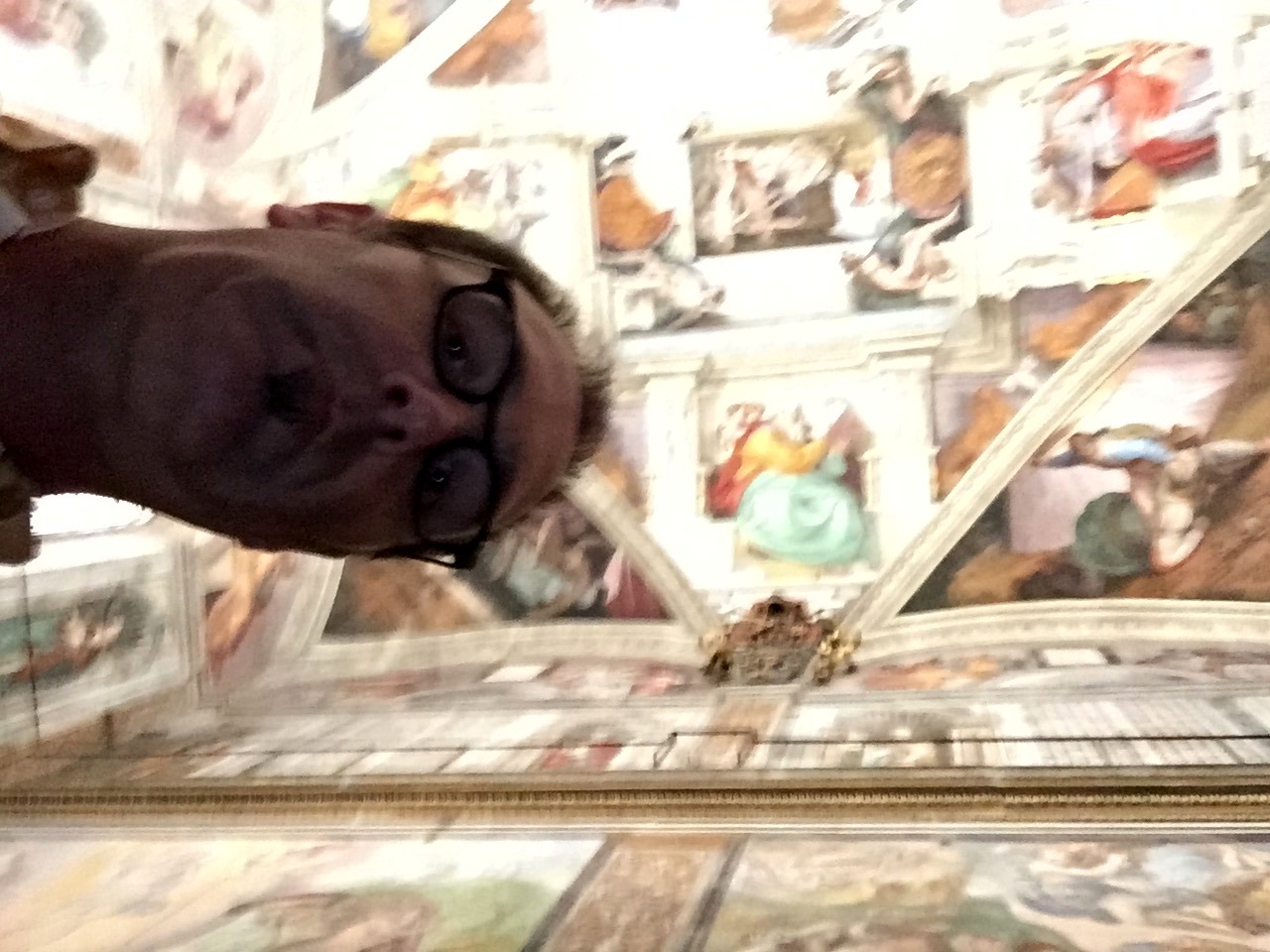
On to the Sistine Chapel, which we really did not expect to be as small and rectangular as it is. Lisa arranged for a private tour for us, and our tour guide (who was really good) took us aside before we entered the chapel to provide us with a detailed lesson on the history of the chapel and of the individual artworks. You’re supposed to be reverent and quiet while in the chapel, so there’s no speaking. Our guide used her iPad to provide insight into the individual panels.
The whole “reverent and quiet” rule would be ignored by the packed assembly of tourists, so every 2 minutes or so, one of the guards would intone in a booming voice: “SILENCIO!” Everyone would then become quiet again. Until the rule was ignored after a bit, prompting another outburst from the guards. This resulted in a sinusoidal pattern of noise – very quiet immediately after the dire warning, then a swiftly rising crescendo of noise, peaking until the guard bellowed yet another “SILENCIO!” Then quiet, then noisy, then “SILENCIO!” then repeat. Good stuff.
We were prohibited from taking pictures as well (although we tried surreptitiously, with abysmal results . . .):

In lieu of purloined pics from us, you can take a virtual tour here, on the Vatican Museum’s website. (Note that this virtual tour will not convey the signature, sinusoidal sound effect described above . . .).
St. Peter’s Basilica

Bernini’s Baldacchino, a pavilion-like structure almost 100 feet tall and claimed to be the largest piece of bronze in the world, which stands beneath the dome and above the altar
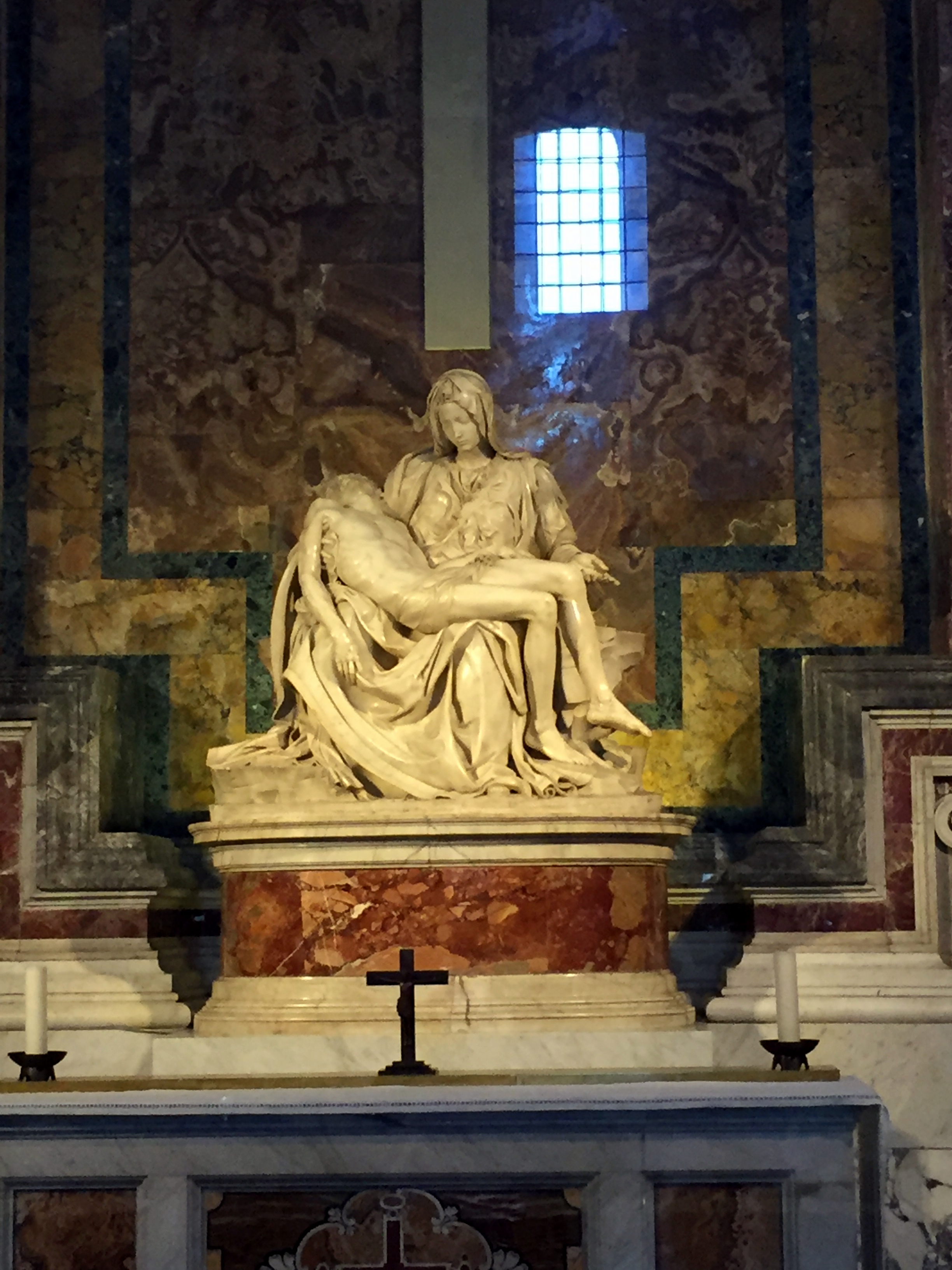
Michelangelo’s Pietà – now behind glass. In 1972 “a mentally disturbed geologist, the Hungarian-born Australian Laszlo Toth walked into the chapel and attacked the sculpture with a geologist’s hammer while shouting “I am Jesus Christ; I have risen from the dead!” With fifteen blows he removed Mary’s arm at the elbow, knocked off a chunk of her nose, and chipped one of her eyelids. Onlookers took many of the pieces of marble that flew off. Later, some pieces were returned, but many were not, including Mary’s nose, which had to be reconstructed from a block cut out of her back.”

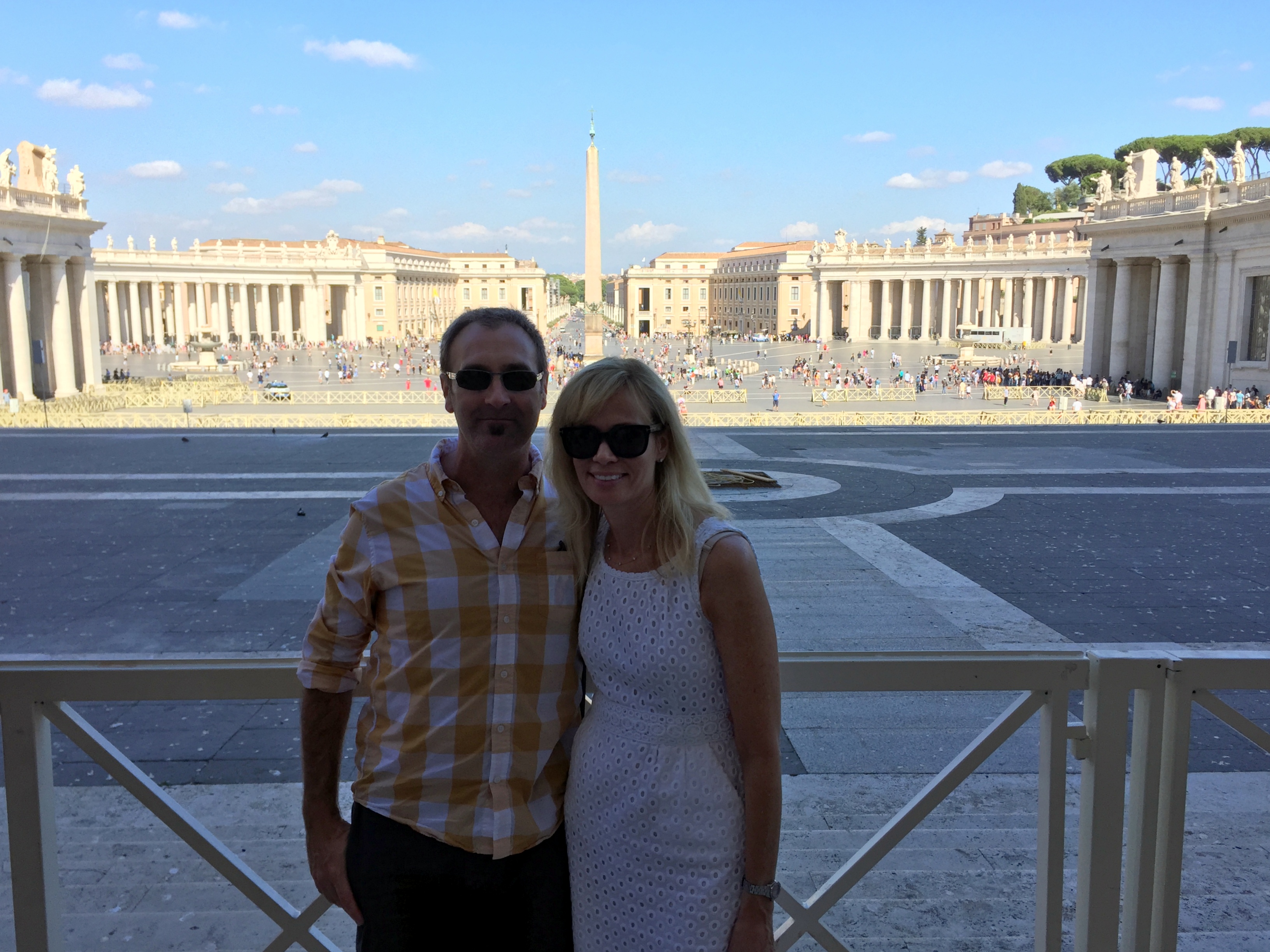
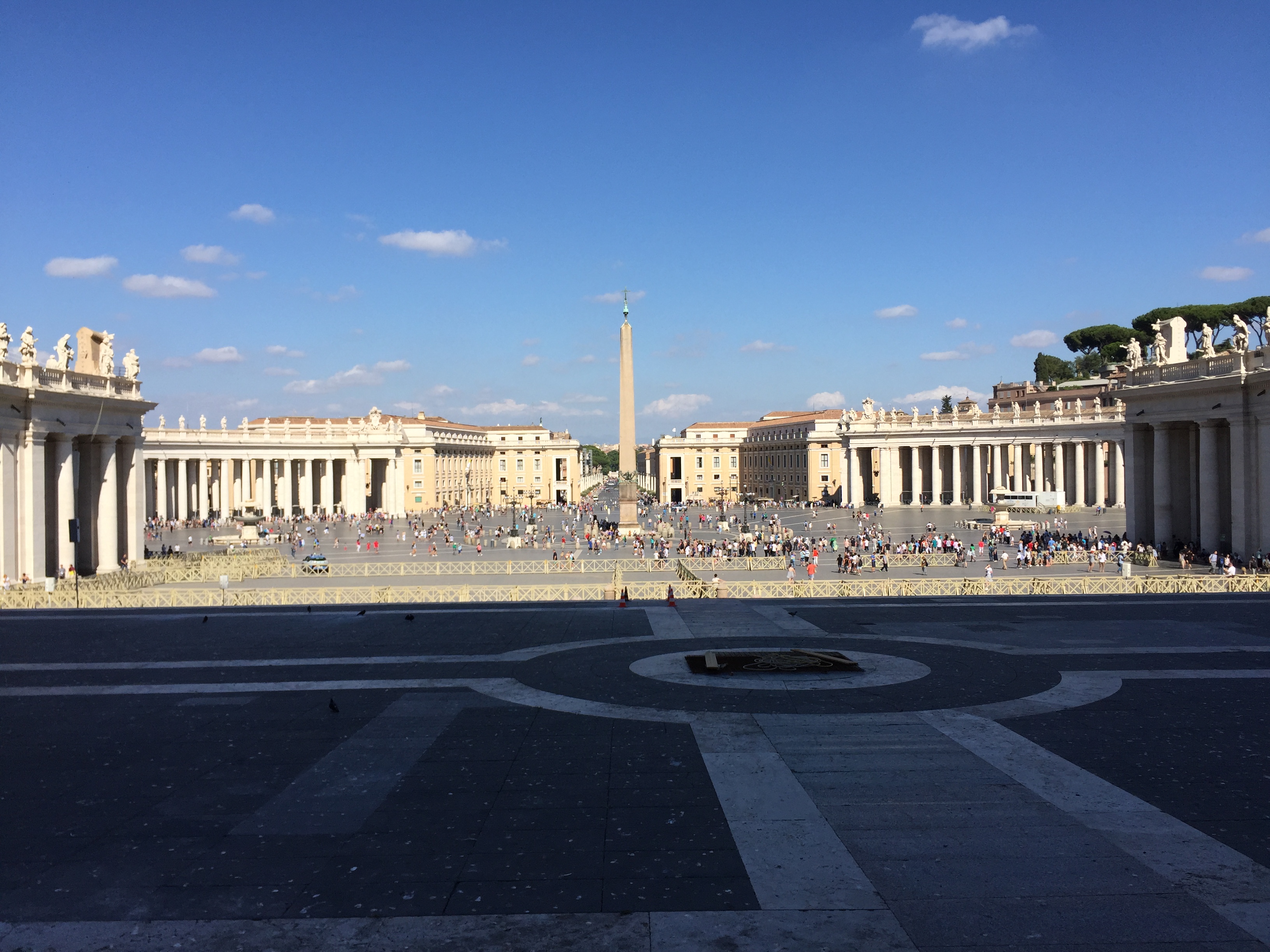
Back outside, in St. Peter’s Square

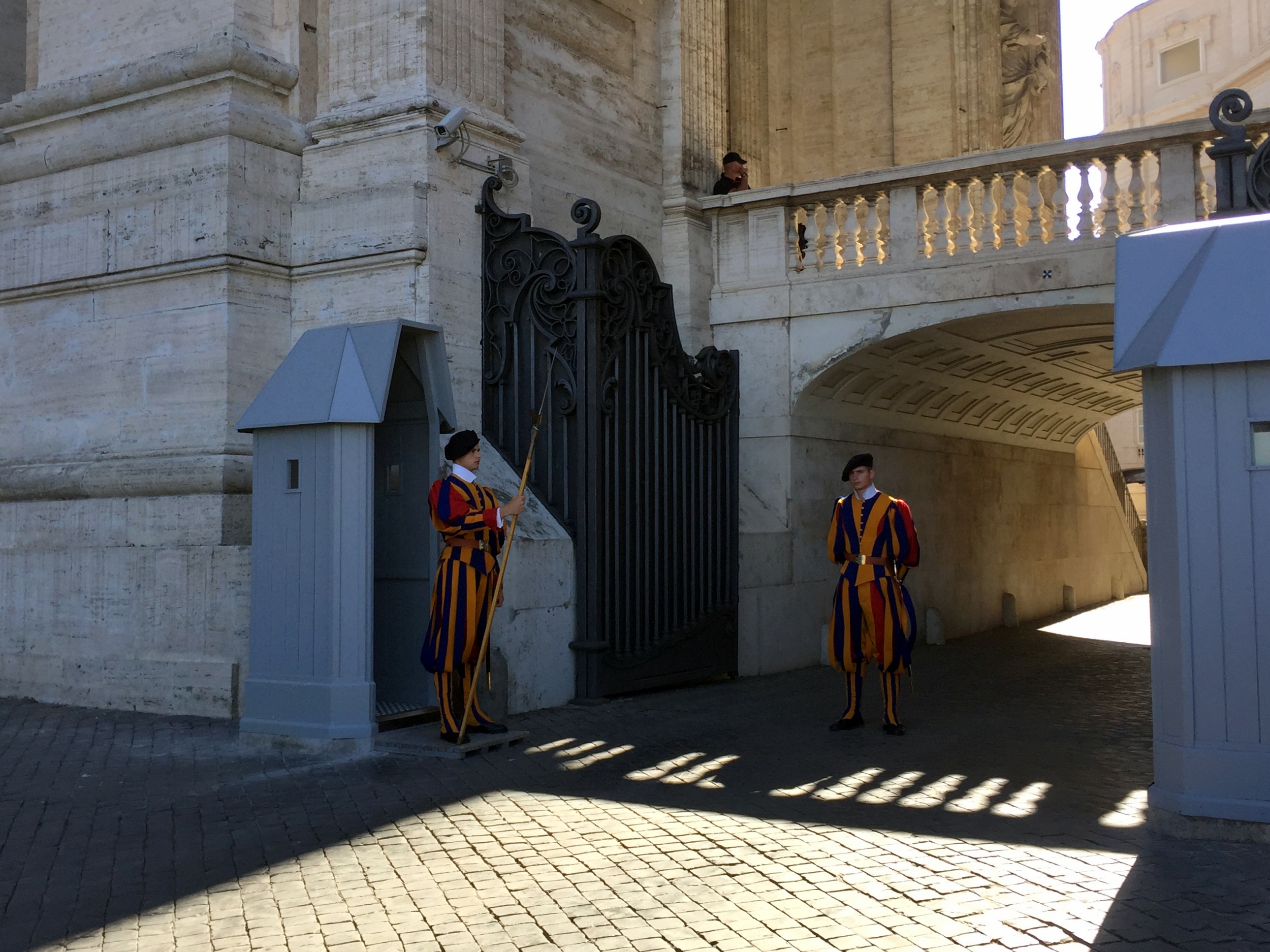
“The Swiss Guard, recognizable by its armor and colorful Renaissance-era uniforms, has been protecting the pontiff since 1506. That’s when Pope Julius II, following in the footsteps of many European courts of the time, hired one of the Swiss mercenary forces for his personal protection. The Swiss Guard’s role in Vatican City is strictly to protect the safety of the pope. Although the world’s smallest standing army appears to be strictly ceremonial, its soldiers are extensively trained and highly skilled marksmen. And, yes, the force is entirely comprised of Swiss citizens.”

“Roman Emperor Caligula built a small circus in his mother’s gardens at the base of Vatican Hill where charioteers trained and where Nero is thought to have martyred the Christians. To crown the center of the amphitheater, Caligula had his forces transport from Egypt a pylon that had originally stood in Heliopolis. The obelisk, made of a single piece of red granite weighing more than 350 tons, was erected for an Egyptian pharaoh more than 3,000 years ago. In 1586 it was moved to its present location in St. Peter’s Square, where it does double duty as a giant sundial.”

Microstate 1 of 5 complete!

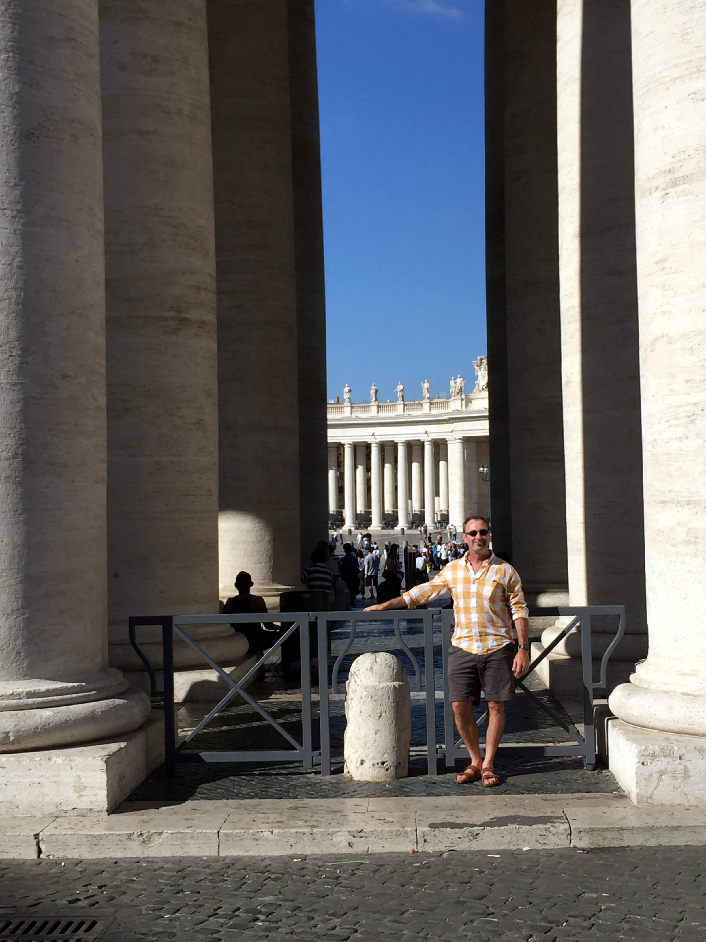
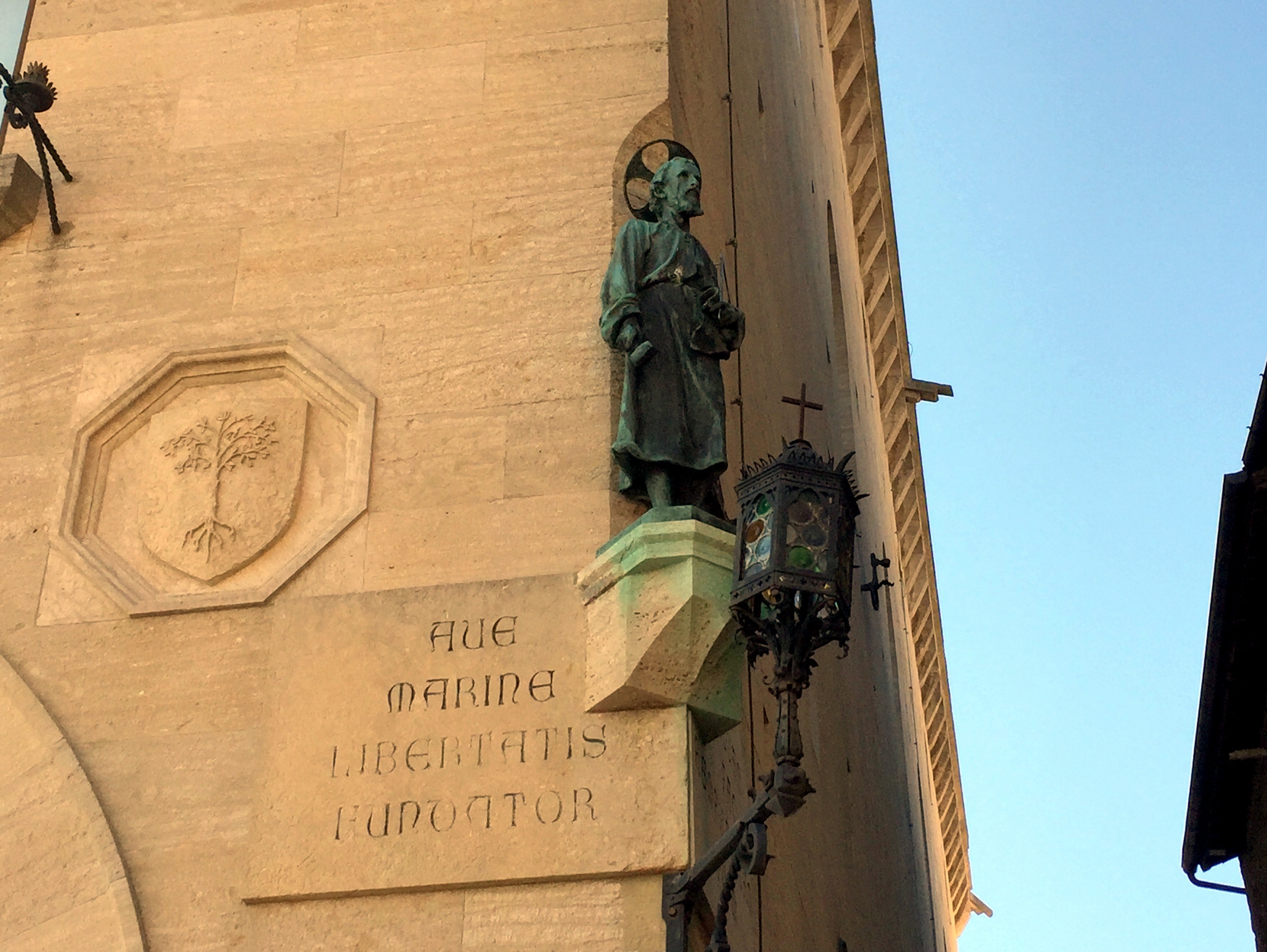
At the border (literally) of Vatican City
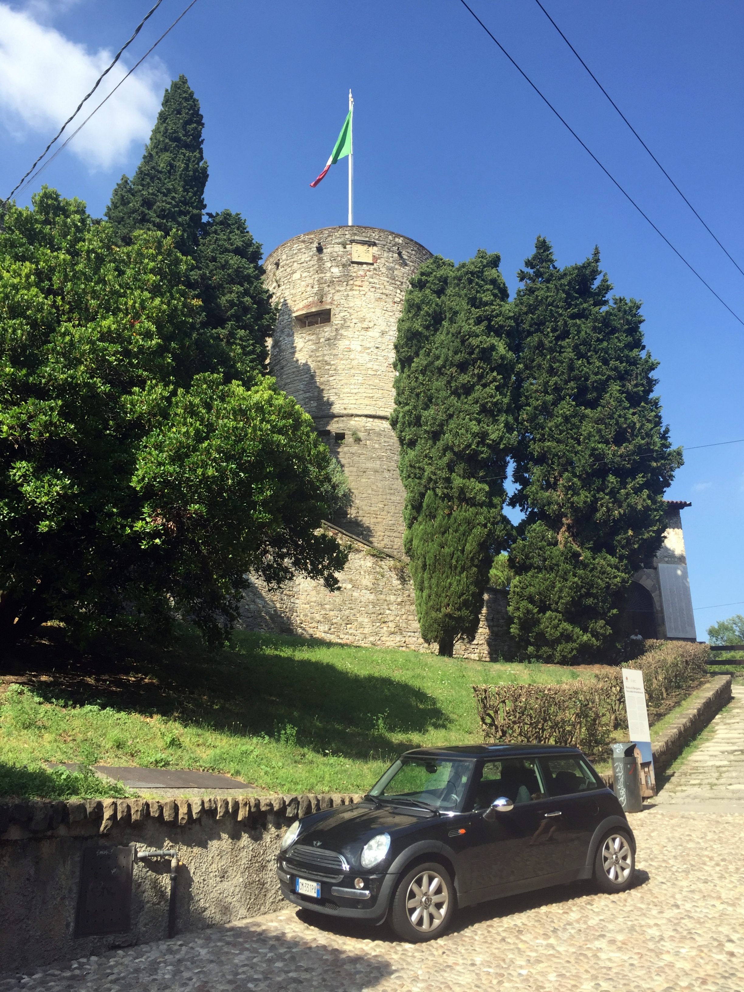
The Castel Sant’Angelo noted in the trivia above, spotted on the way back through Rome from Vatican City (the structure began as the Mausoleum of Hadrian):

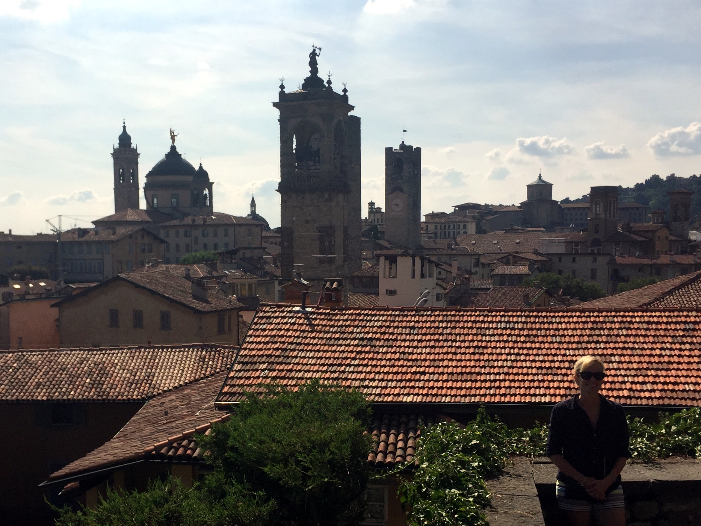
Around Rome, mostly retracing steps taken during our brief visit before biking in Tuscany back in 2004.

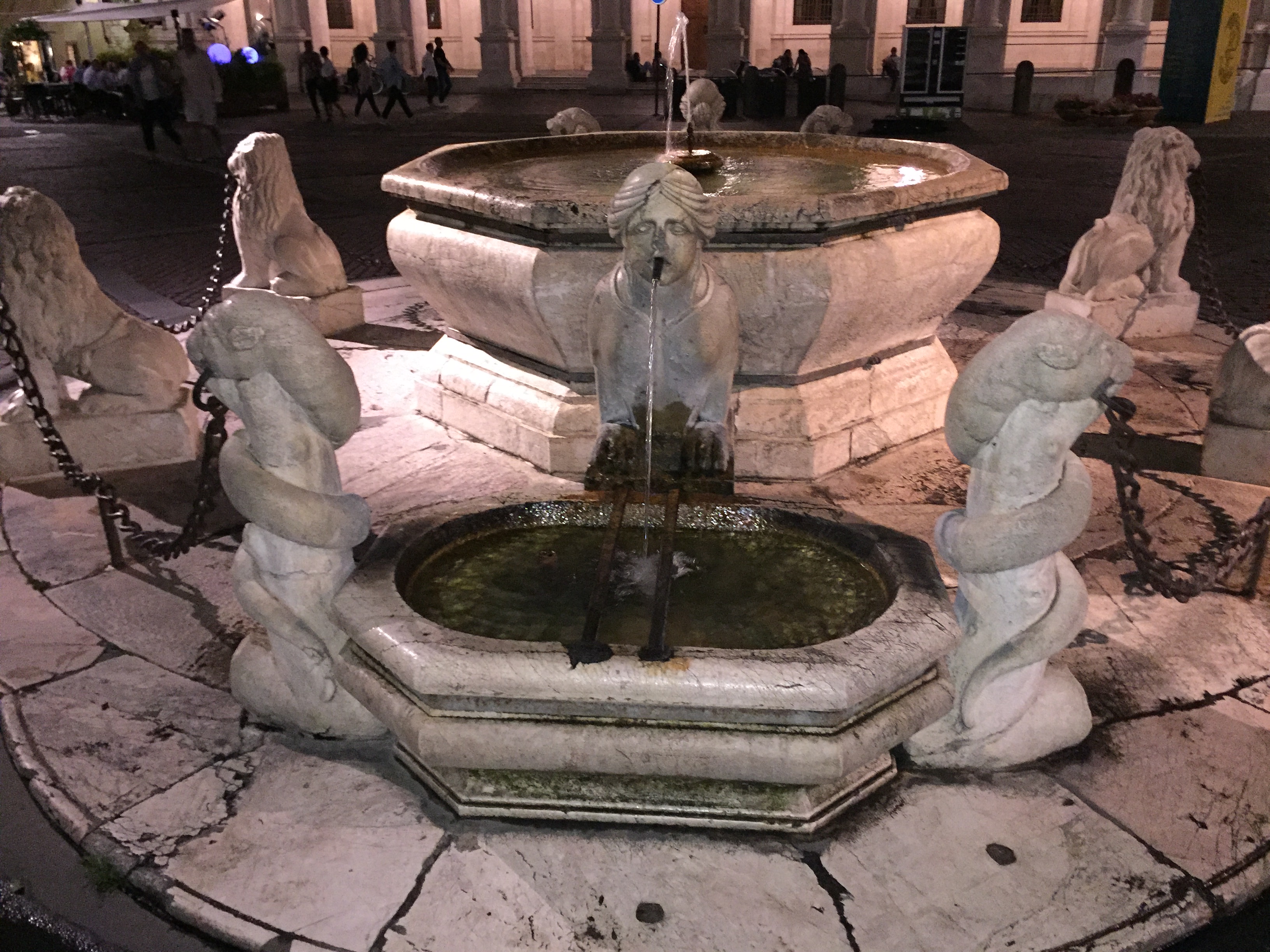
Trevi Fountain

Spanish Steps

From the top of the Spanish Steps
Unbelievably cool retreat on the rooftop of our villa hotel to chill out for a bit late in the day:
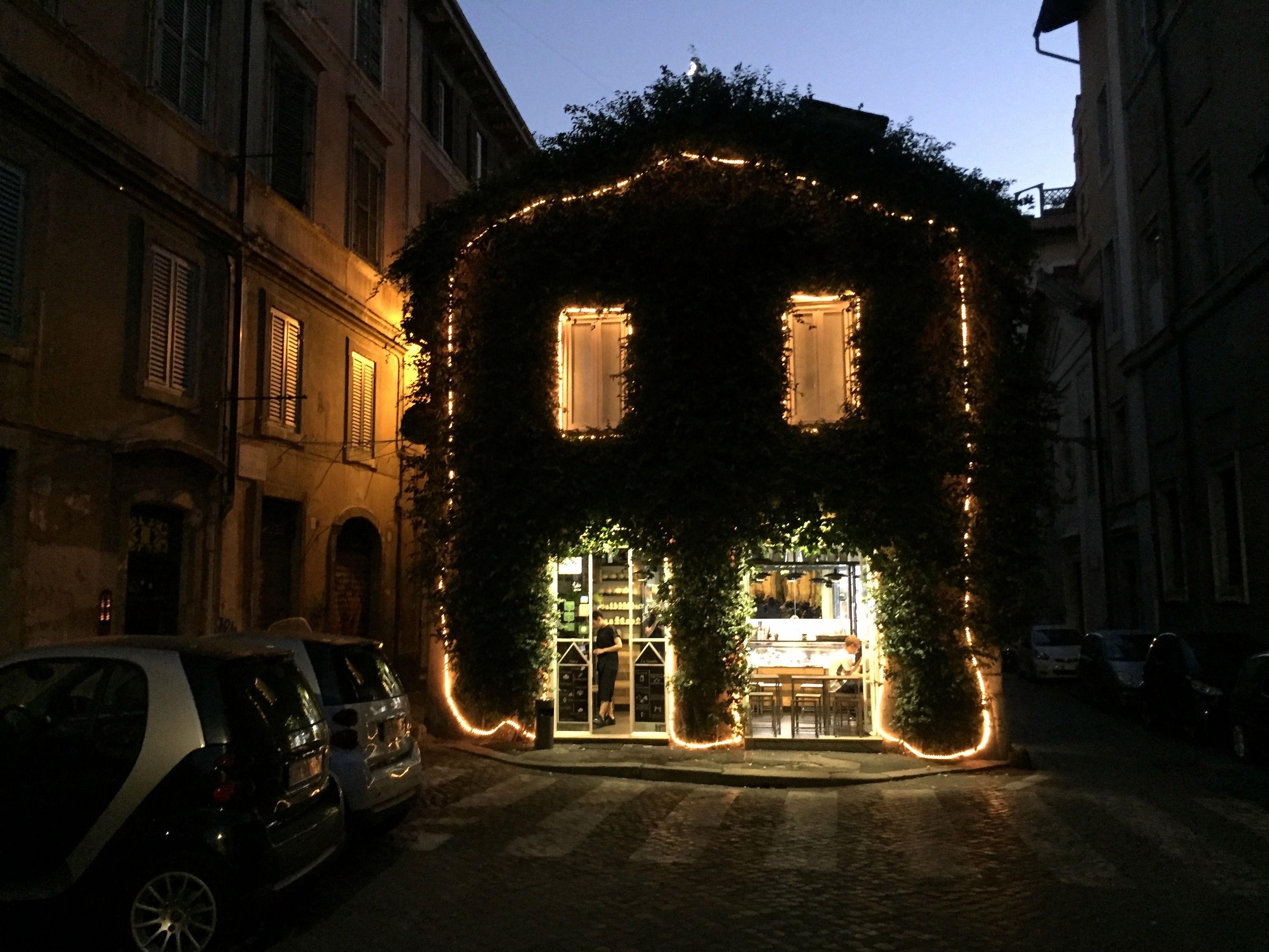
End of the day on the way to dinner in Rome: