A Prolonged Foray to Europe

A Prolonged Foray to Europe: Taormina, Sicily (Parte Seconda)

Taormina offered three notable experiences during our stay:

  1. The town itself
  2. An epic hike to Castelmola high above Taormina
  3. Taormina’s spectacular Roman theater

Our last post addressed the first item above. This second one will bring completion to the triad.

Hike to Castelmola

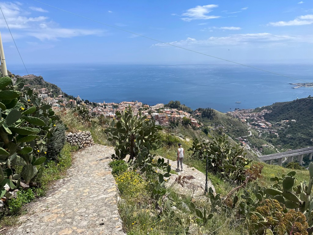
To reach Castelmola, we hiked the Sentiero dei Saraceni (Path of the Saracens):
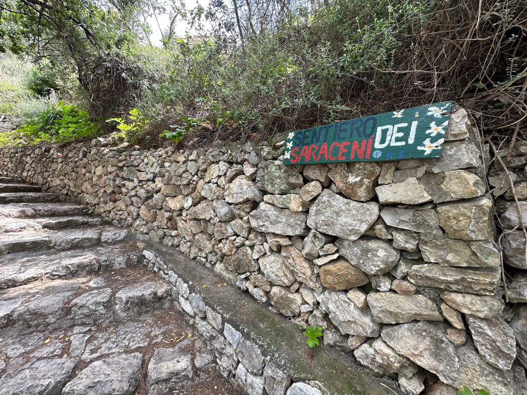
But to reach the trailhead, we first had to leave our place on the water, take the gondola to Taormina’s centro storico, then wind through town, and then finally deviate from the well-trod Corso Umberto to climb through the labyrinthine streets in the old town’s outskirts. THEN the real climbing began.
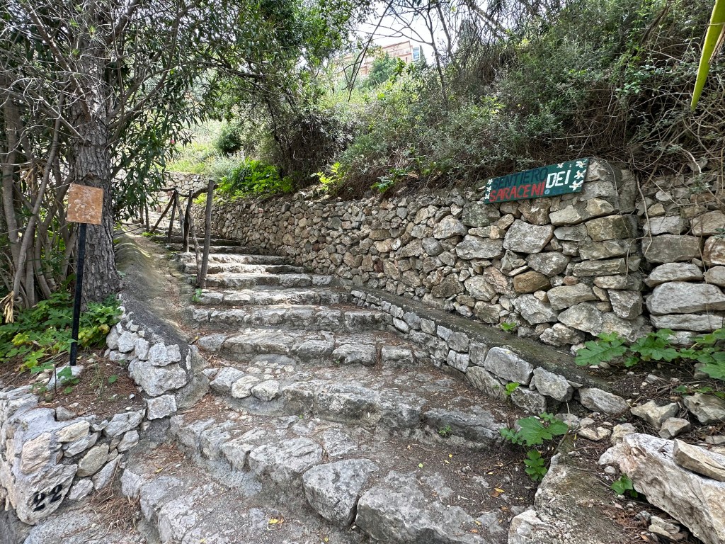
The trail takes its name from the ancient road used by Arab forces during their siege of Taormina in 902 AD.
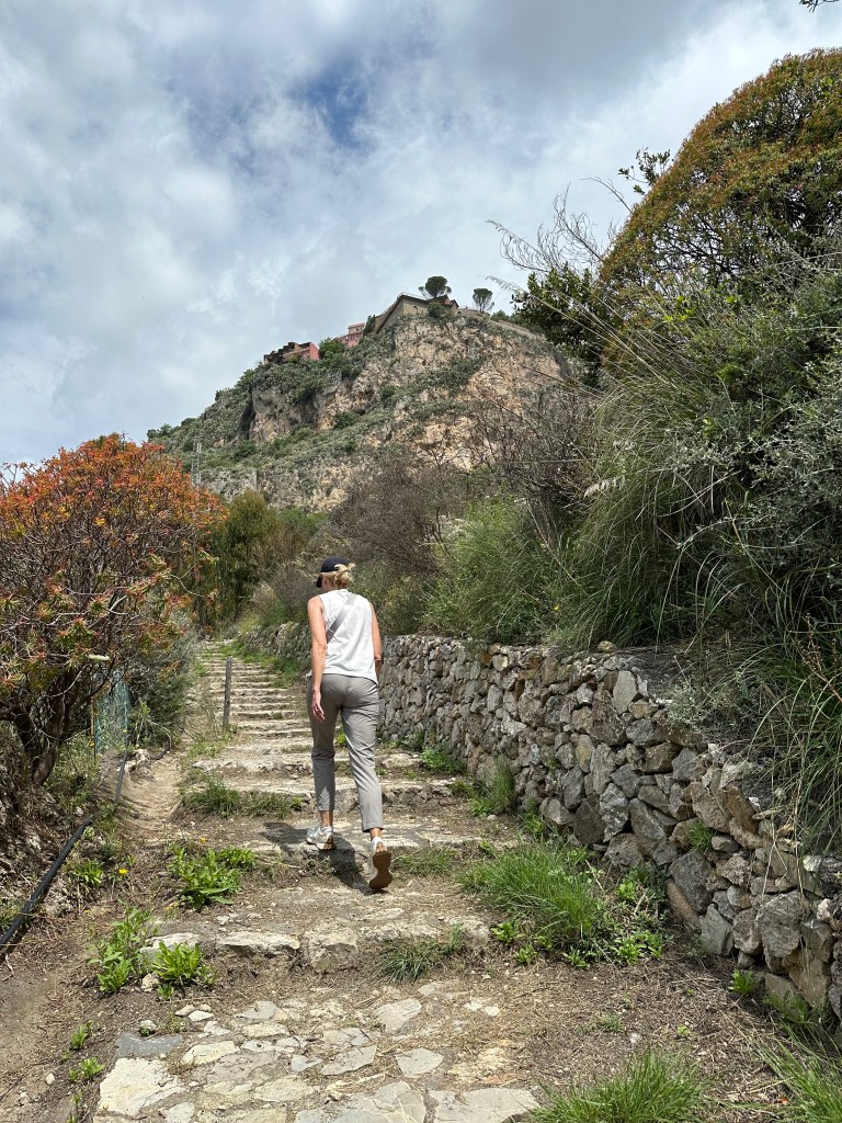
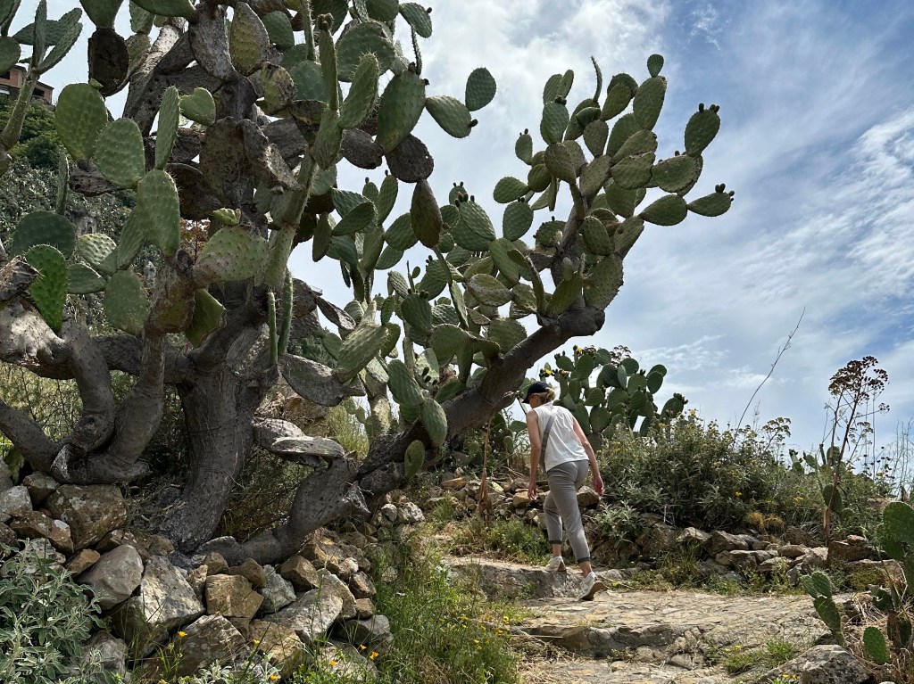
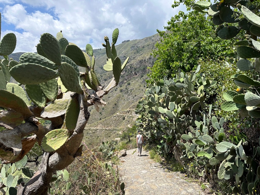
The path itself is an old trazzera — a Sicilian dialect word for a country track — worn into the landscape by the constant passage of mules and horses through a wild terrain of fig trees and prickly pears.
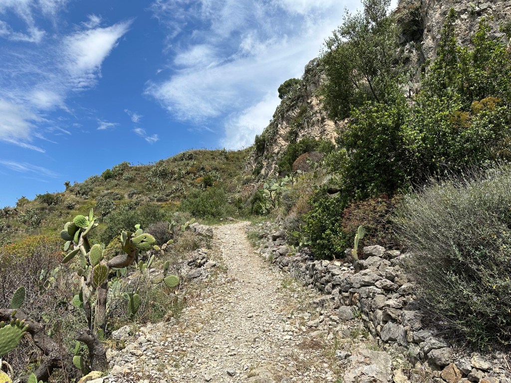
Although not nearly as taxing as the Path of the Gods (Sentiero degli Dei) that we hiked on the Amalfi Coast earlier in the trip, the 7+ mile hike did have 1220 feet of ascent. And we also hiked on a pretty hot day. (In addition to the route on the map below, you can also identify Isola Bella and our AirBnB location on the right side.)
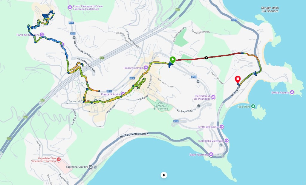
The path is an ancient way to access Castelmola from the southern slope of Monte Tauro, the mountain that looms above Taormina. Starting from Piazza Duomo in Taormina, the initial walk winds through the town’s streets, then the trail transitions to a combination of dirt and rocks — mostly steep stone steps.
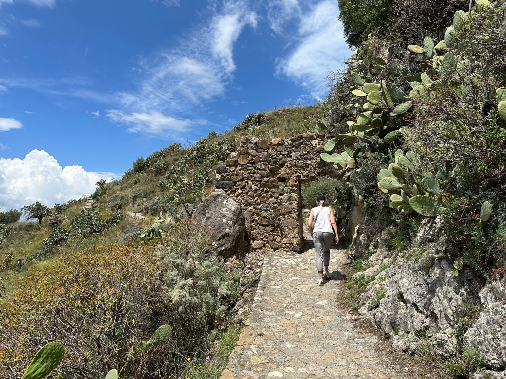
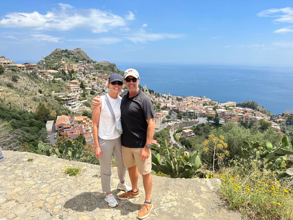
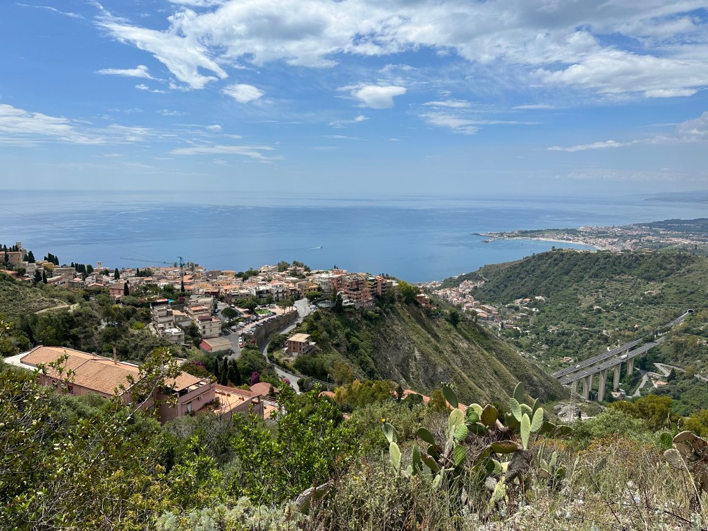
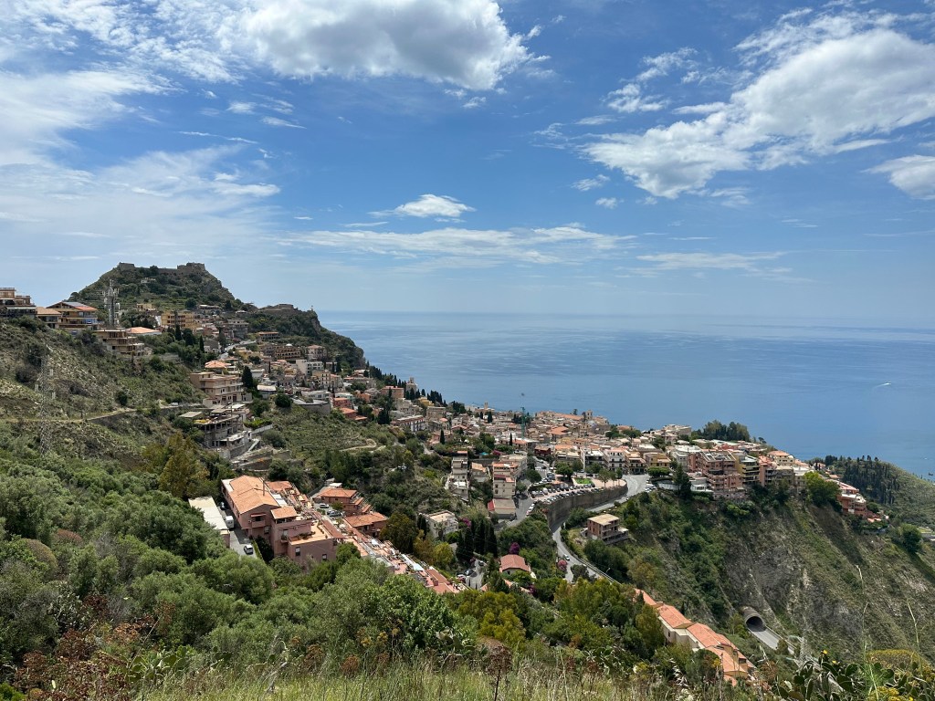
You definitely get rewarded with some great views along the way.
And a forest of cactus.
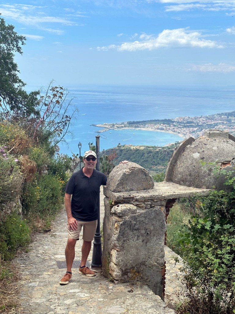
A sign that we’re reaching the apex of our hike at the hill town of Castelmola:
The site was first fortified by the Byzantines around 800 AD, serving as an outpost for and above Taormina. In 902, the fortification fell to Muslim forces after fierce resistance. The Saracens broke into Castelmola’s forts and destroyed much of the village, sparing only the castle — and the access gate to the historic centre is still called the Porta dei Saraceni because of this event.

In 1078, Norman Count Roger I reconquered the area and built a new castle incorporating the original walls. Most of what remains today dates to a 16th-century version of the structure. A 10th-century plaque with Greek-Byzantine engravings on the cathedral façade reads: “This castle was built under Constantine, patrician and strategist of Sicily” — almost certainly referring to Costantino Caramalo, who defended the territory from Arab attacks in the 9th century.

Throughout later centuries, Castelmola sided with the Swabians and Aragonese against the Angevins, eventually becoming part of the Kingdom of the Two Sicilies in 1738 and then the Kingdom of Italy in 1860.

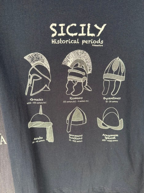
In addition to some great historical context for Castelmola’s many lives, this recitation also recalls the convenient history-of-Sicily-on-a-t-shirt introduction in our first Sicily post. (The t-shirt, as it happens, actually was spotted during our stay here in Taormina.)
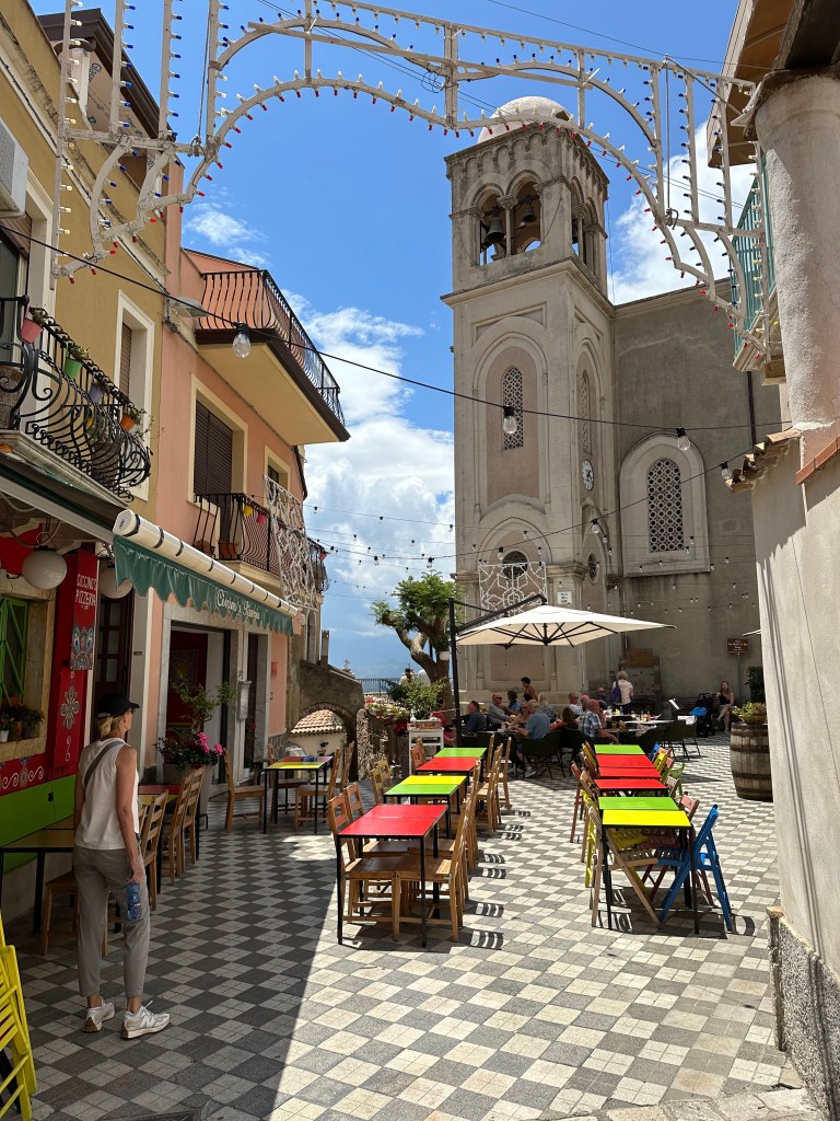
Regardless of the events that led up to Castelmola’s current iteration, it proved to be a pretty charming little hill town.
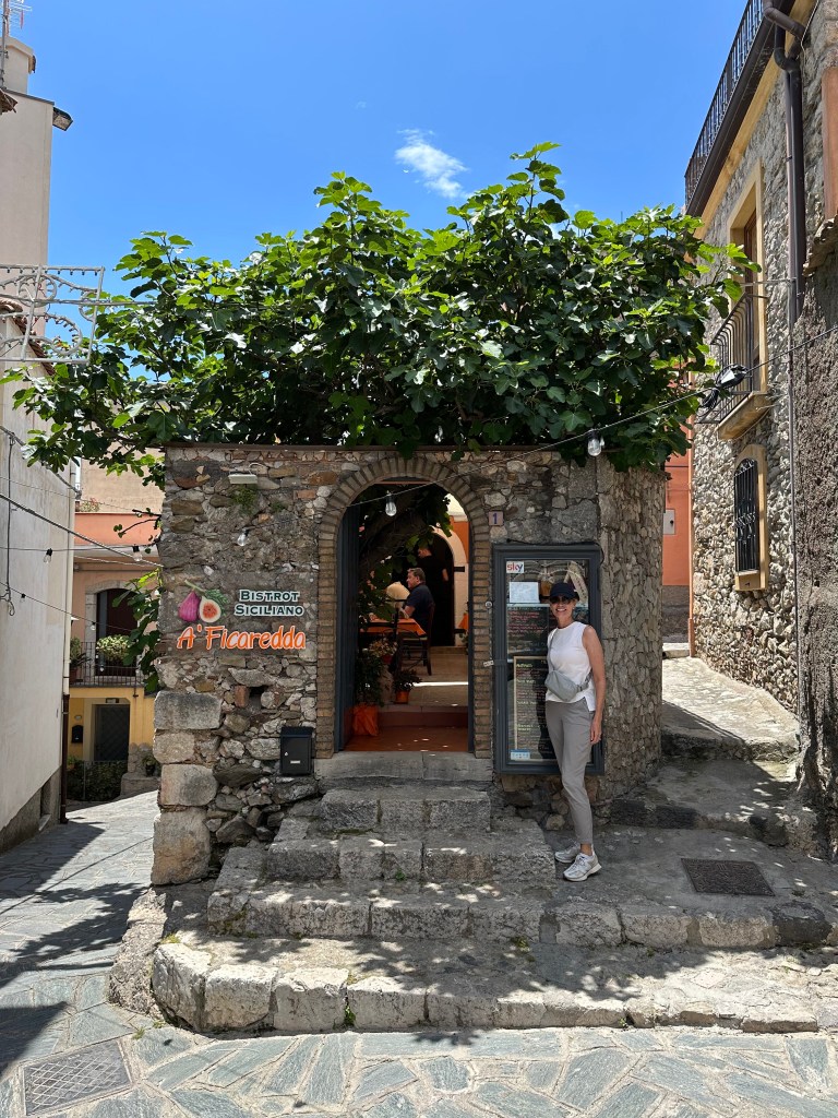
With a little cafe just for WolfeStreetTravel’s resident figeater:
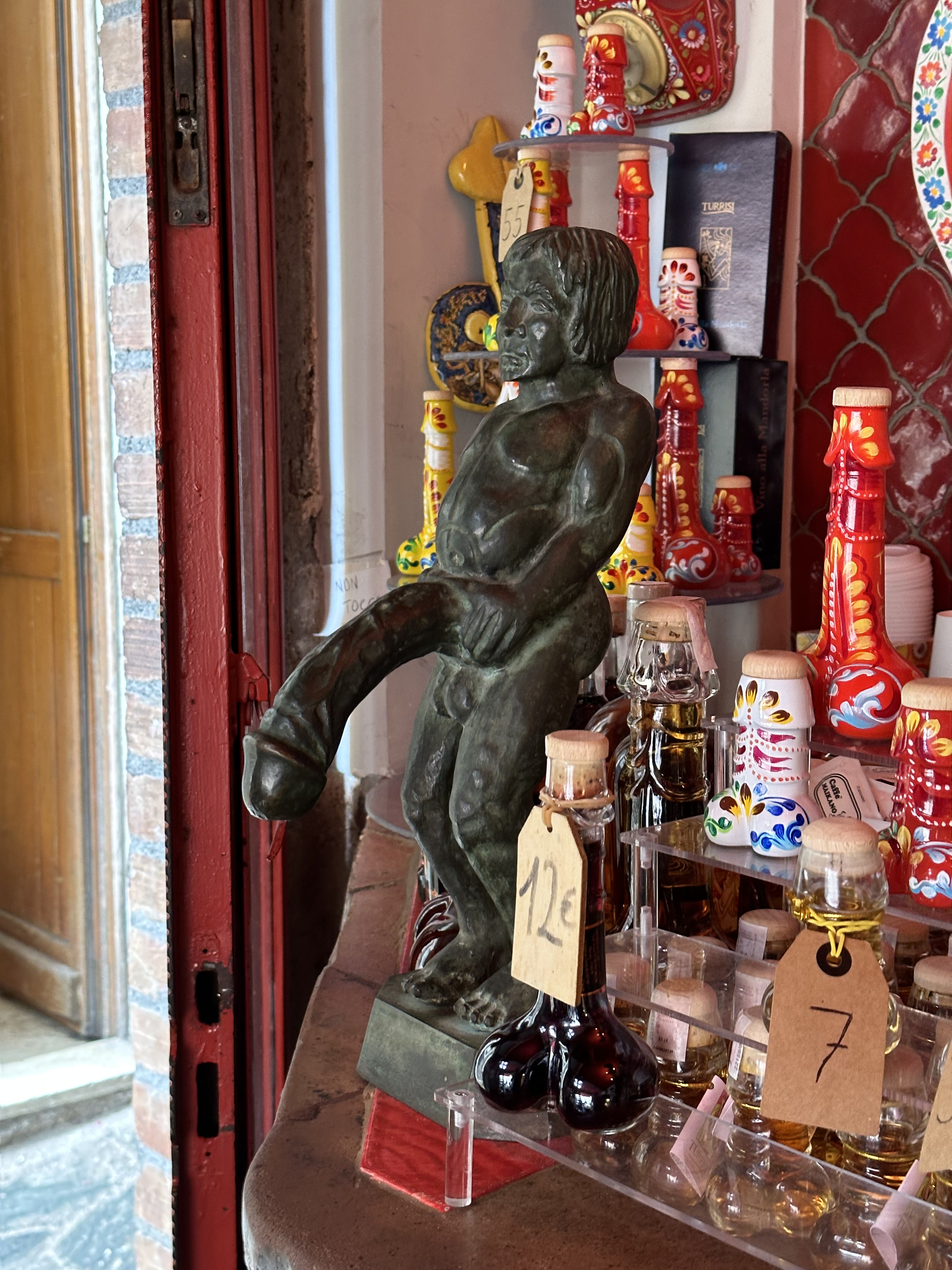
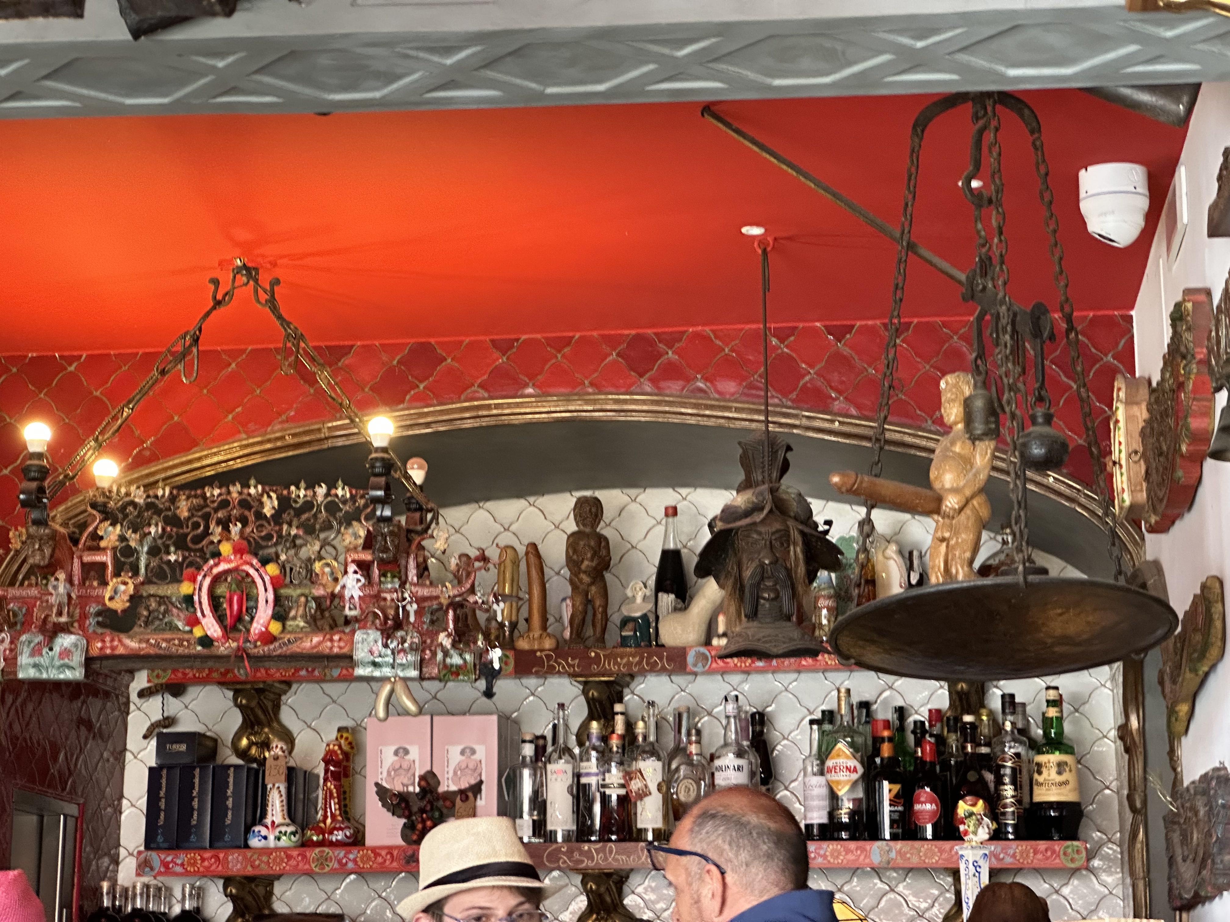
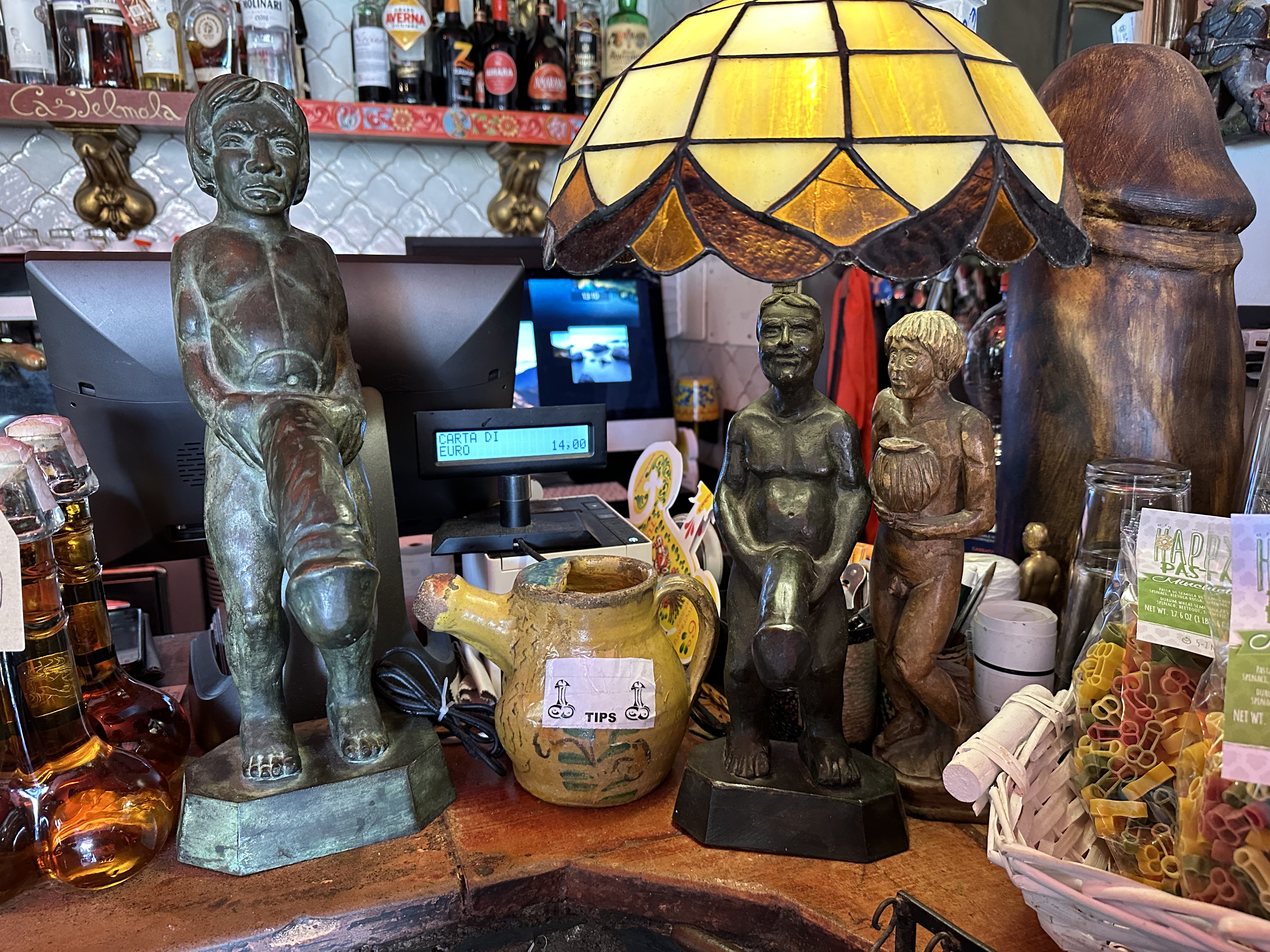
And then there’s Castelmola’s chief attraction:
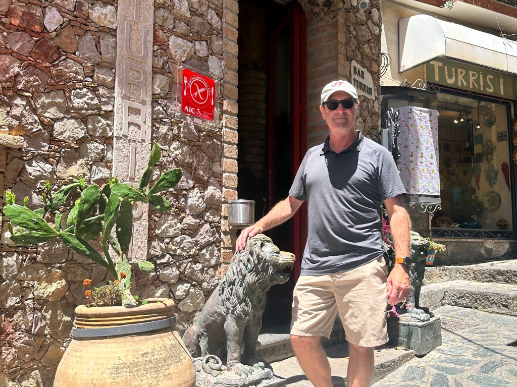
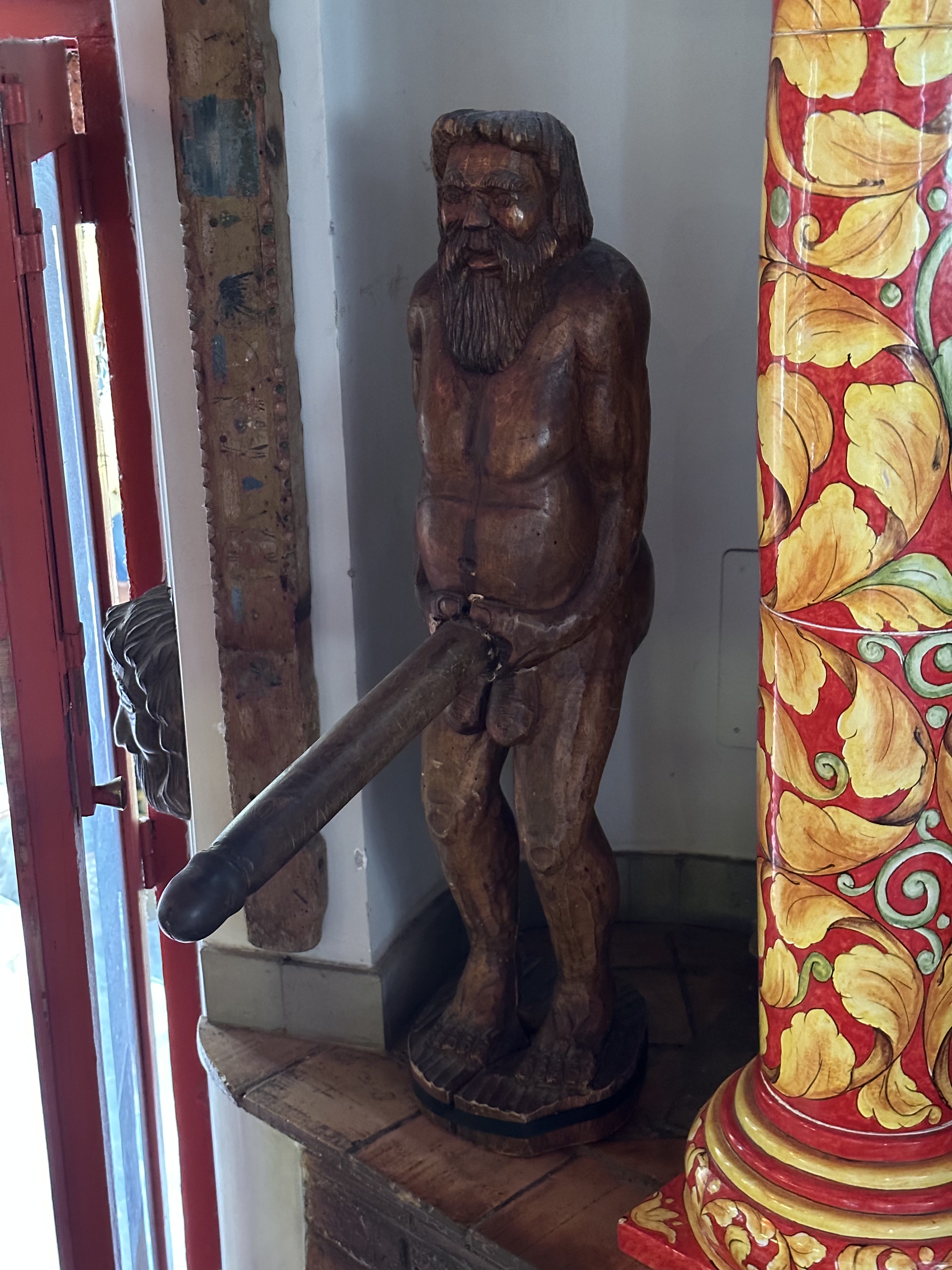
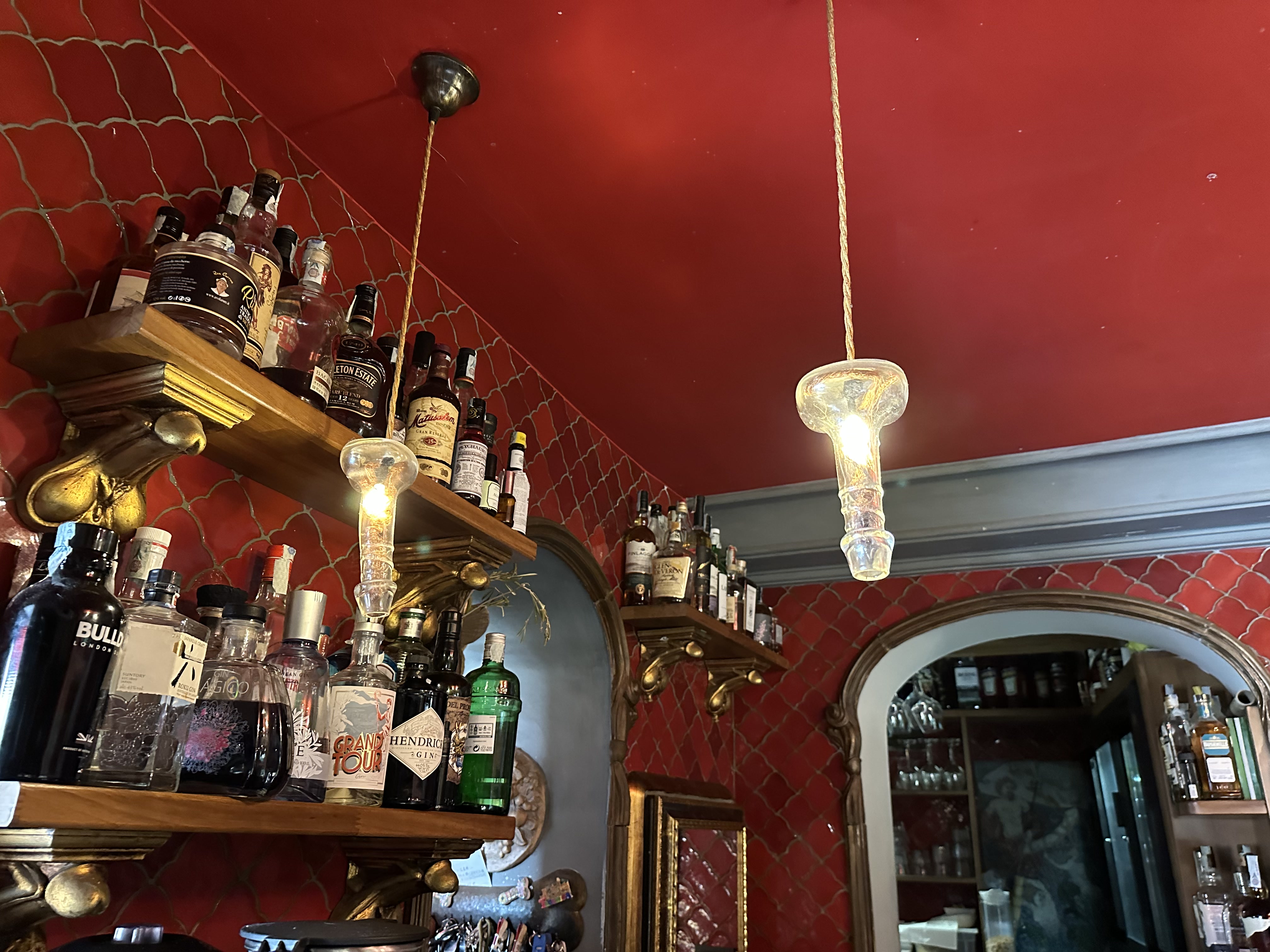
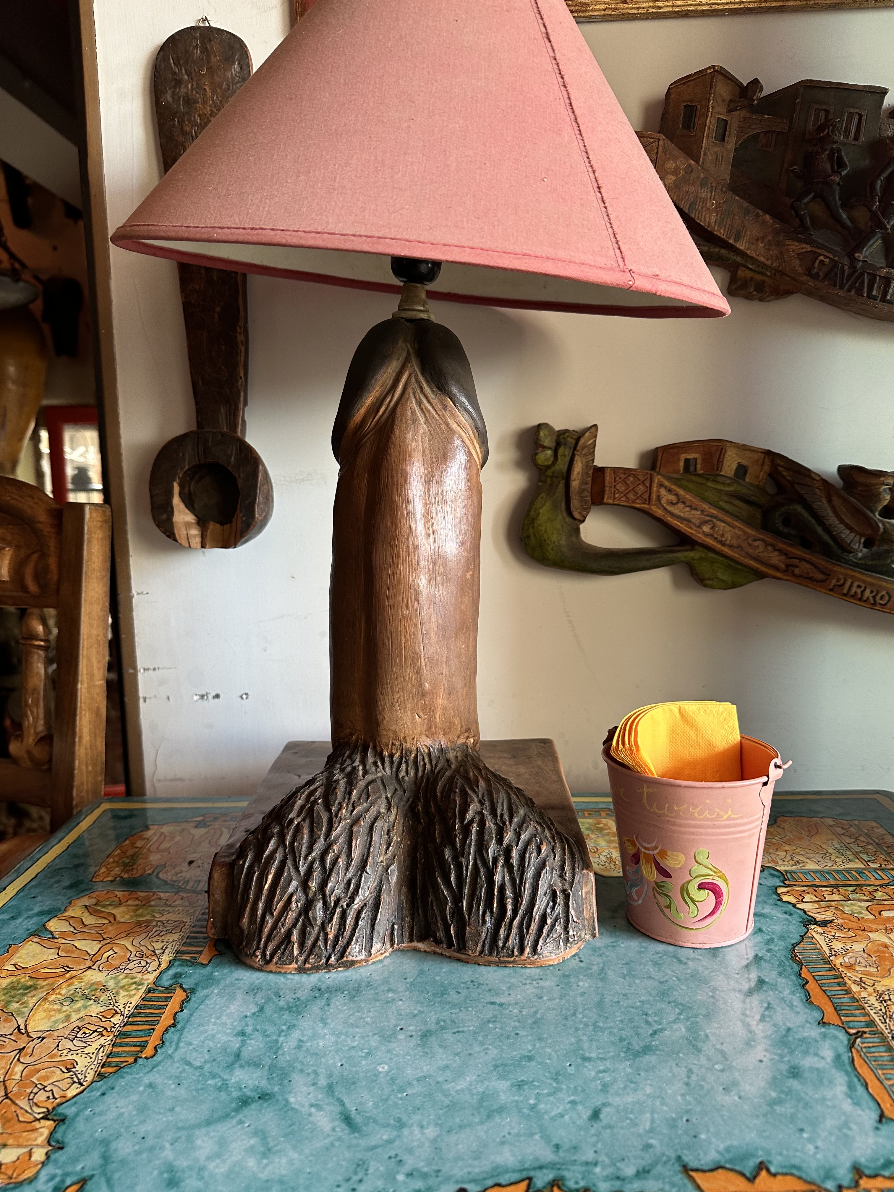
Bar Turrisi, or. . .
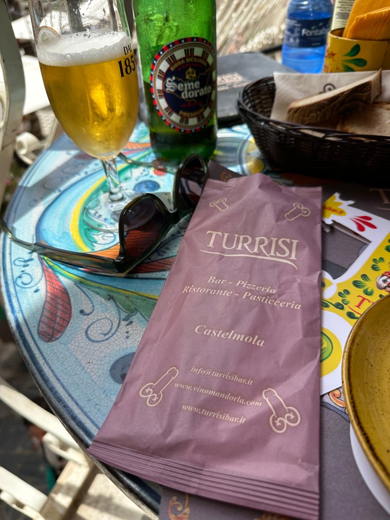
the dick bar.
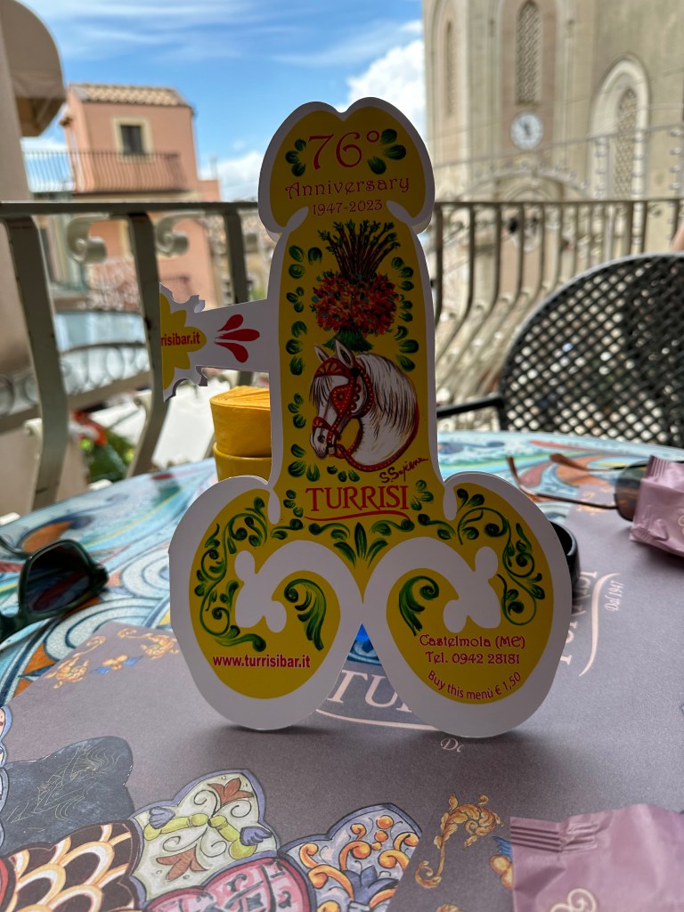
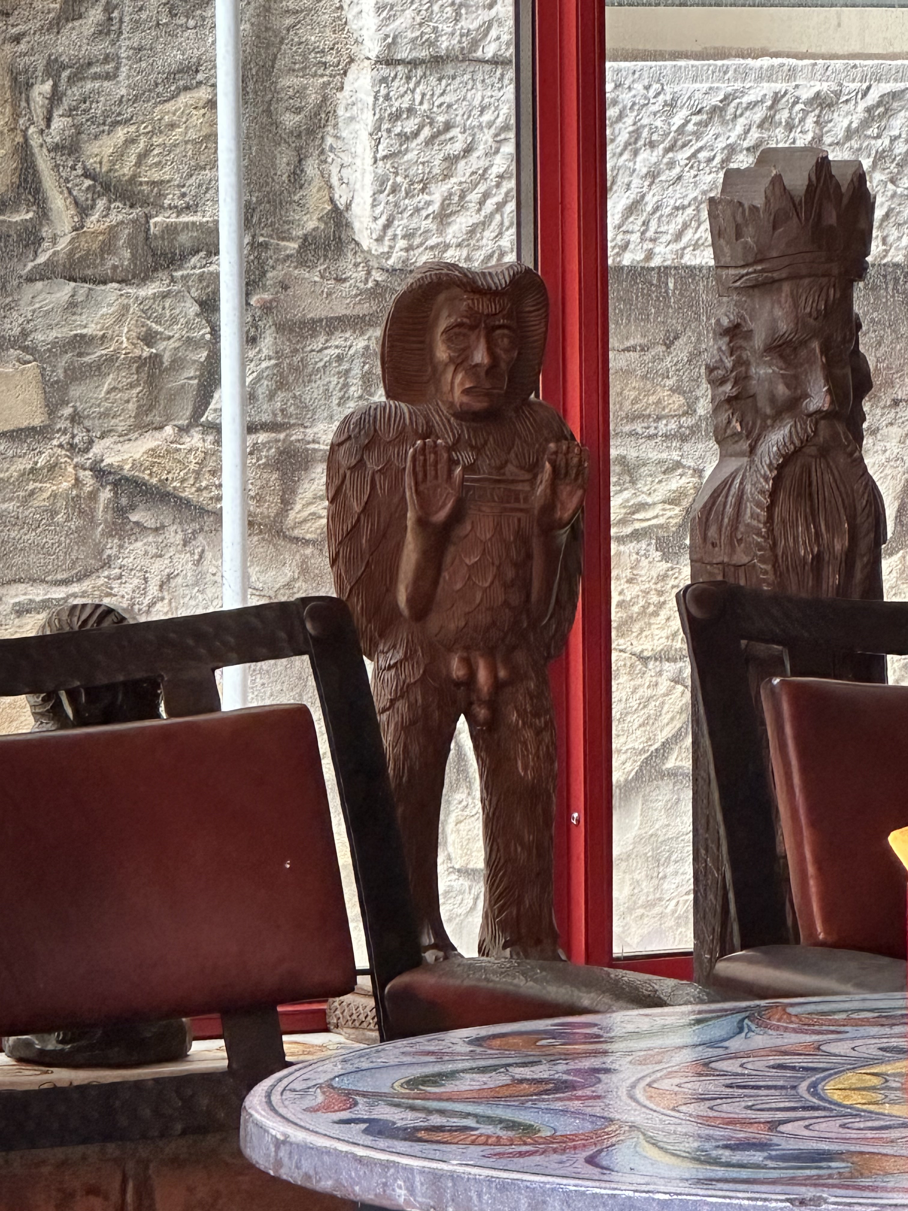
The bar was founded in 1947 by Salvatore Turrisi, who later had three sons in 5 years and decided to celebrate this by absolutely filling this place with dicks.
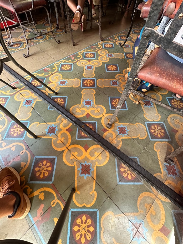
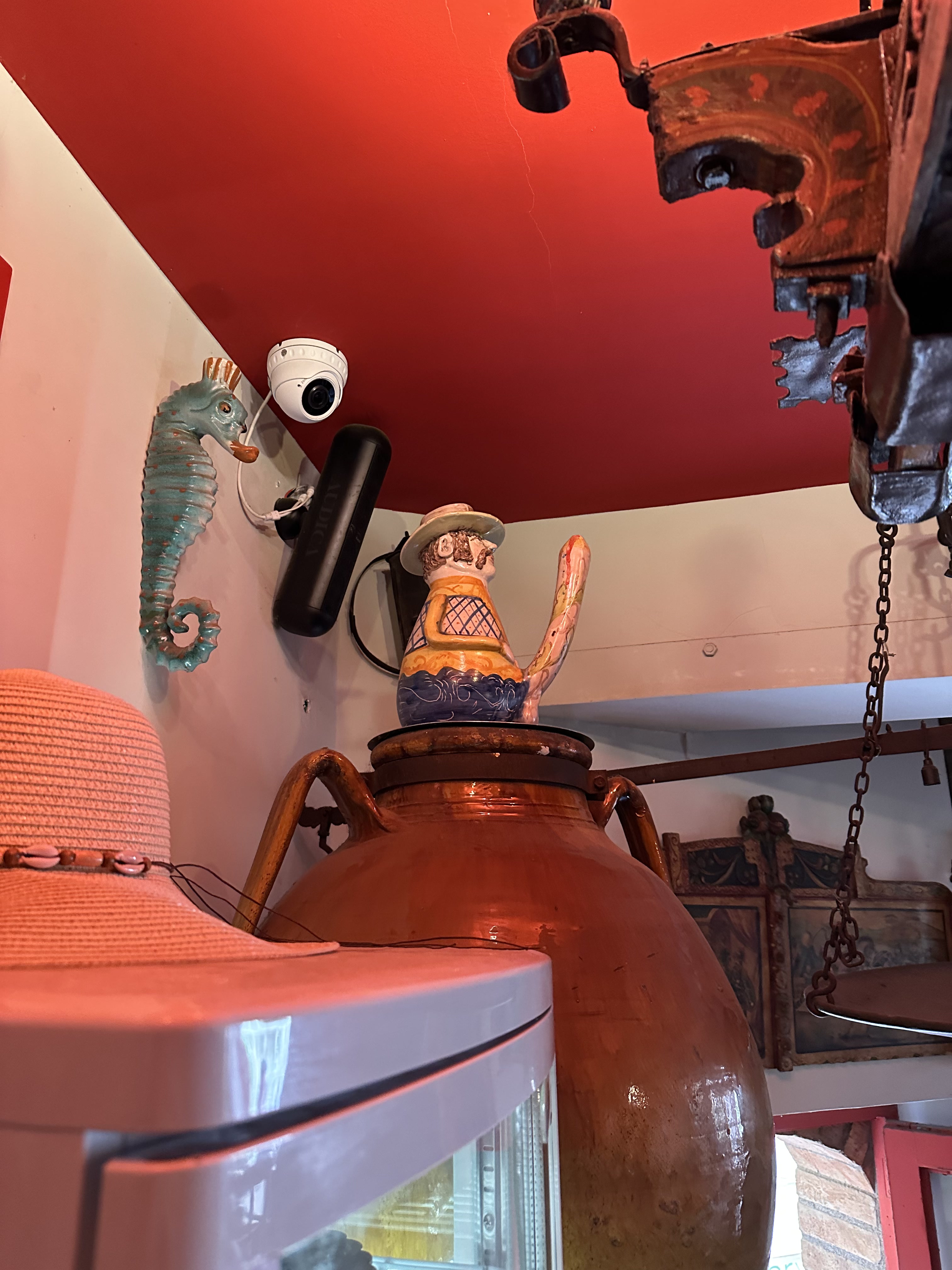
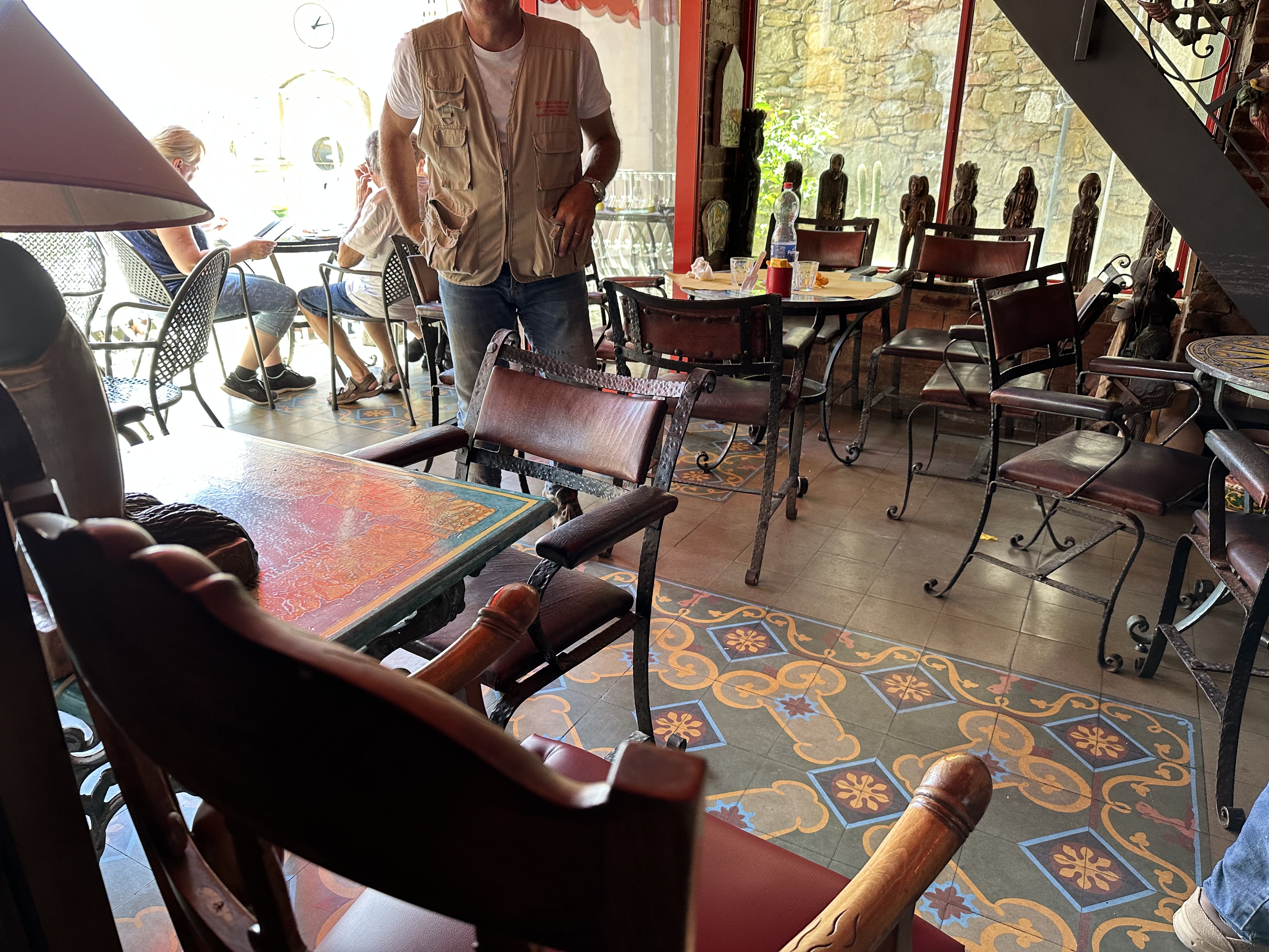
It’s a riot of phallic symbols (all of them, btw, created exclusively by Sicilian artisans, for what it’s worth):
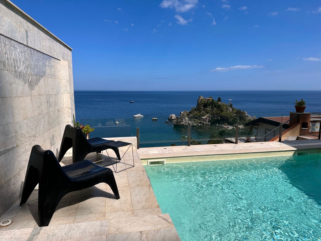
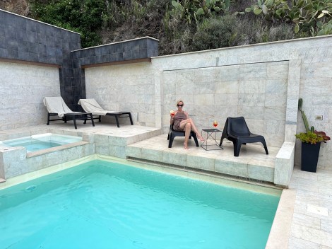
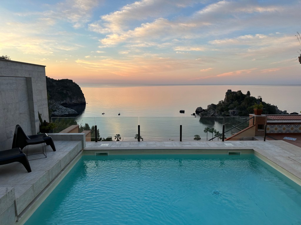
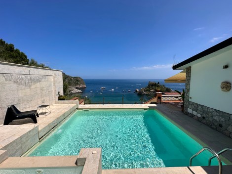
After some beers and pizza, we headed back down to Taormina, where our oasis awaited.
Definitely a welcome respite after the hike.
Roman Theater

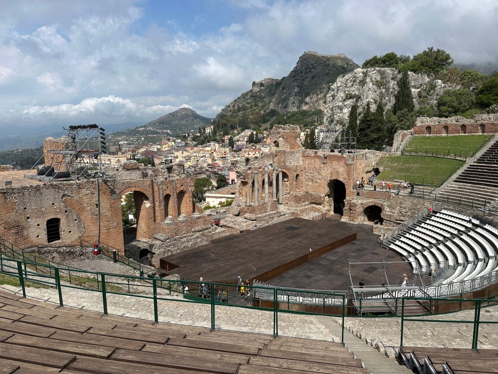
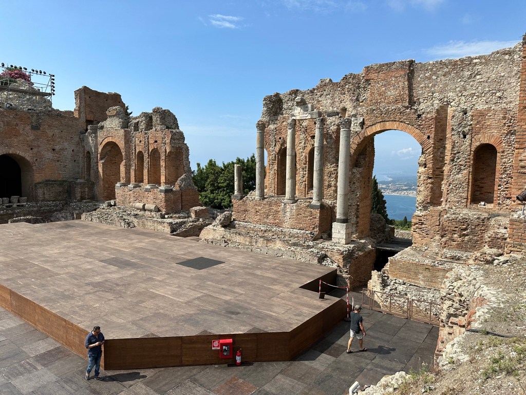
Taormina’s Teatro Antico offered the last of the three highlights during our stay.
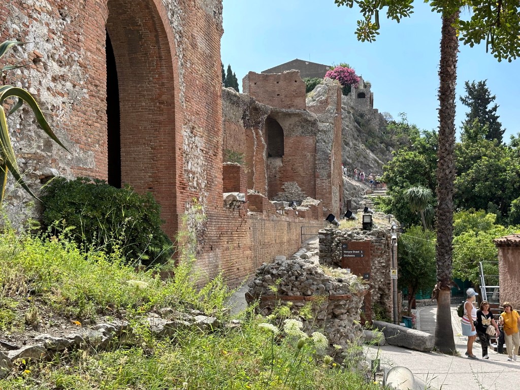
Although its known for the role it played during the Roman period, the theatre originally was constructed during the Hellenistic period, circa 265–215 BC. It is one of the oldest theatres in Magna Graecia to feature a curved cavea rather than the older trapezoidal design. The structure was carved directly into the rocky hillside of Monte Tauro, using the natural slope in the classical Greek manner to create optimal sightlines and acoustics.

Originally designed for dramatic performances, it hosted plays by ancient Greek playwrights such as Sophocles, Aeschylus, and Euripides. These performances were often part of religious festivals and reflected the myths and social issues of the time. Acoustics were engineered so that even whispers on stage could be heard in the highest seats.
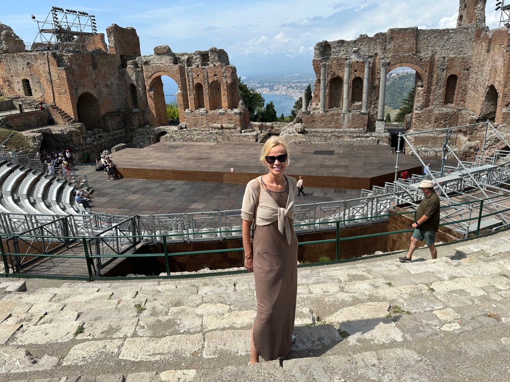
During the Roman rule over Sicily, the Romans did not merely maintain the theatre — they systematically rebuilt and repurposed it over roughly two centuries, in three distinct phases.

Phase I & II — Expansion under Trajan and Hadrian (98–138 AD)

The major Roman renovation expanded the cavea, modified the retaining walls to run parallel with the stage, and constructed an elaborate multi-story scaenae frons (the ornate architectural backdrop behind the stage). This phase created the theatre in its most magnificent form. The first intervention enlarged the theatre’s capacity with the construction of an external ambulatory and a complete reconstruction of the scaenae frons. Scholarly research confirms the architectural ornament of that stage front is definitively Trajanic or Hadrianic in style — and the architect of the theatre at Taormina used illusionistic column effects closely similar to those at the South Theater at Gerasa, suggesting Eastern influence on its design.
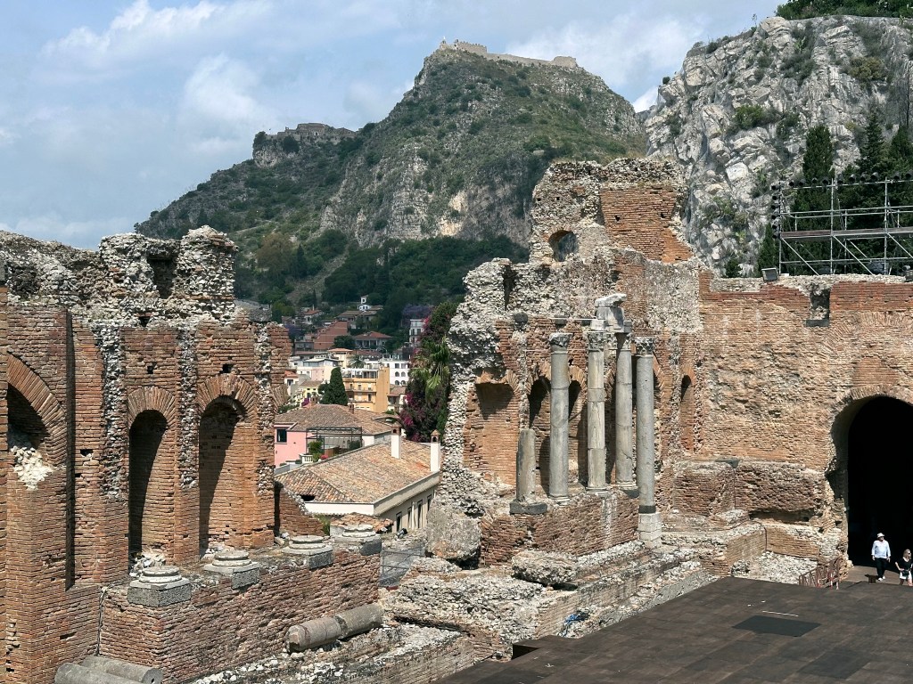
Phase III — Conversion to Arena (Late 2nd / Early 3rd Century AD)

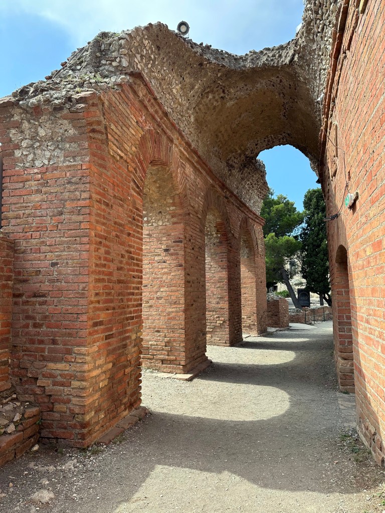
The second Roman intervention involved changes to the stage and an expansion of the orchestra to transform the theatre into an arena capable of hosting gladiatorial games. A ring corridor was built, closed by a raised parapet, along with underground spaces used as shelters for equipment and animal cages. Three vaulted passageways were built under the scaenae frons to provide access for gladiators and animals.
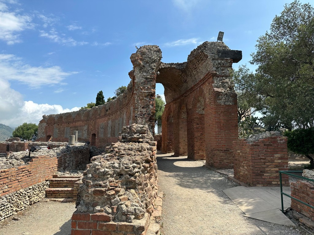
Phase III — Conversion to Arena (Late 2nd / Early 3rd Century AD)

The second Roman intervention involved changes to the stage and an expansion of the orchestra to transform the theatre into an arena capable of hosting gladiatorial games. A ring corridor was built, closed by a raised parapet, along with underground spaces used as shelters for equipment and animal cages. Three vaulted passageways were built under the scaenae frons to provide access for gladiators and animals.
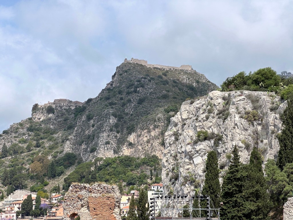
A view up to Castelmola, the destination of our hike the previous day and home to the dick bar.
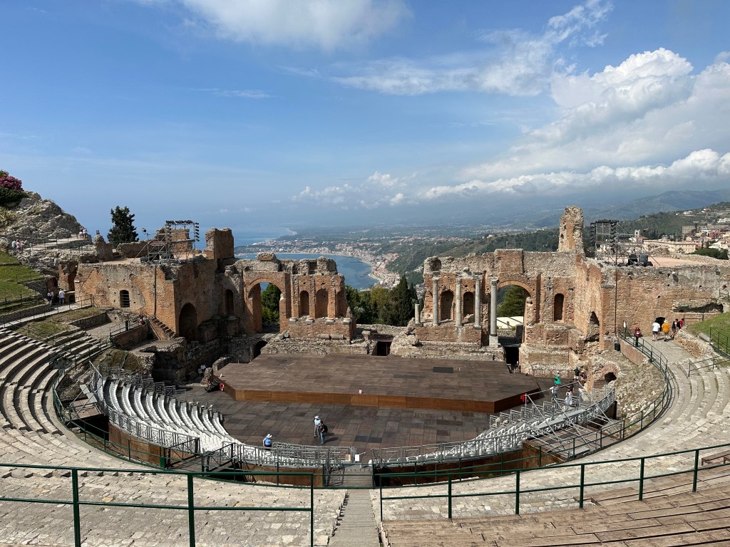
The theatre has a horseshoe-shaped cavea with a diameter of 107–109 meters, an orchestra measuring 28–29 meters across (later expanded to 34 meters during the arena conversion), and a seating capacity estimated at 8,900 to 11,150 spectators across more than 40 rows divided into nine cunei and three maeniani (levels). It is the second largest of its kind in Sicily, behind only the Greek Theatre of Syracuse.

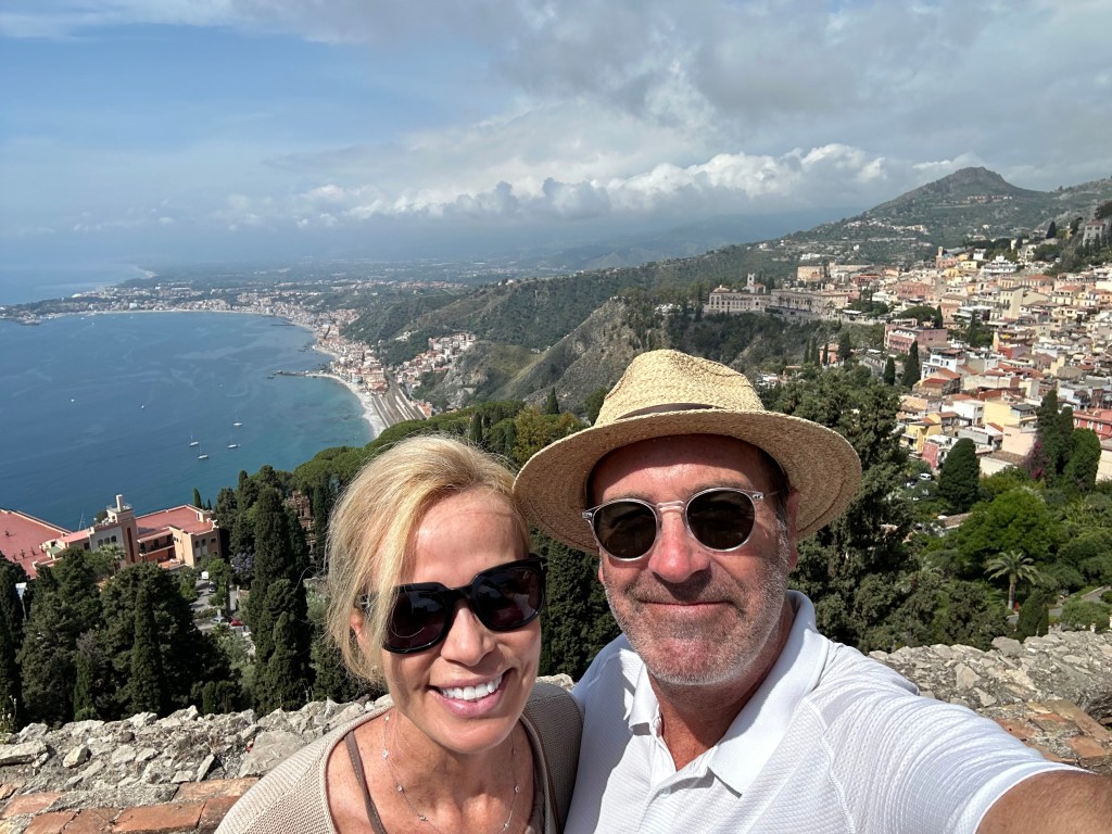
The setting is arguably the theatre’s most famous feature. Oriented to face south-southwest, it frames a panorama of Mount Etna and the Ionian Sea simultaneously — a view that has captivated visitors for millennia.
During the Middle Ages, parts of the theatre were reused to build private residences and religious buildings, including Taormina Cathedral. It was the Grand Tour of the 18th and 19th centuries that restored the theatre to international fame. Johann Wolfgang von Goethe visited in 1787 and wrote in his famous Italian Journey: “Never has a theatre audience enjoyed such a view.” His words became perhaps the most quoted description of the site and drew generations of European travelers in his wake.
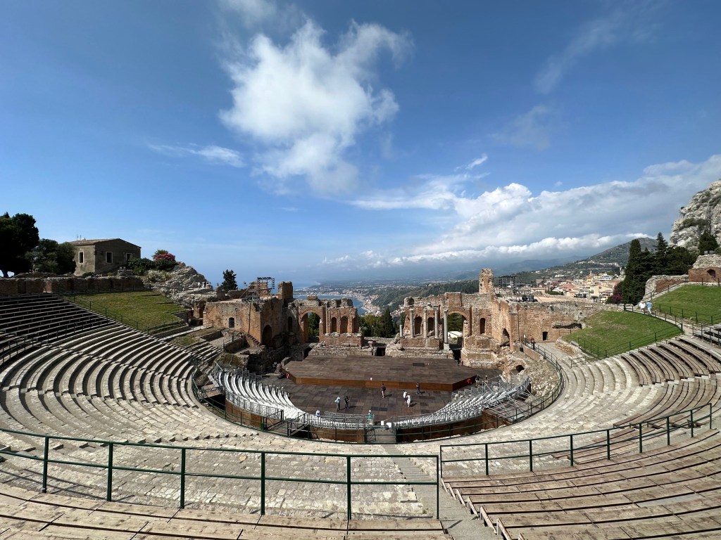
The theatre today is far more than a museum piece — it remains an active cultural venue. Since 1983 it has hosted the Taormina Arte festival and other cultural events. Since 1971, the Taormina Film Fest has been held in the Ancient Theatre, with premieres and new film screenings taking place here.
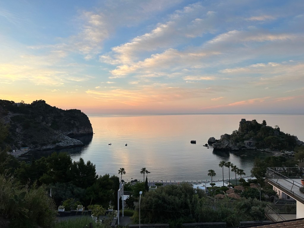
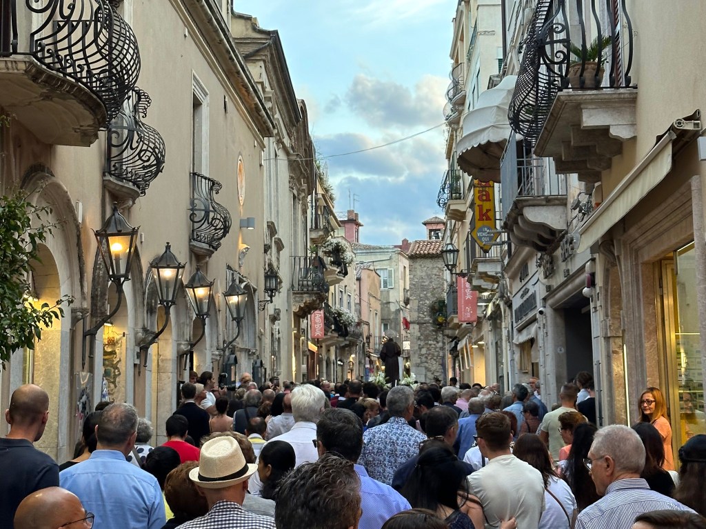
Final night in Taormina (and in Sicily):
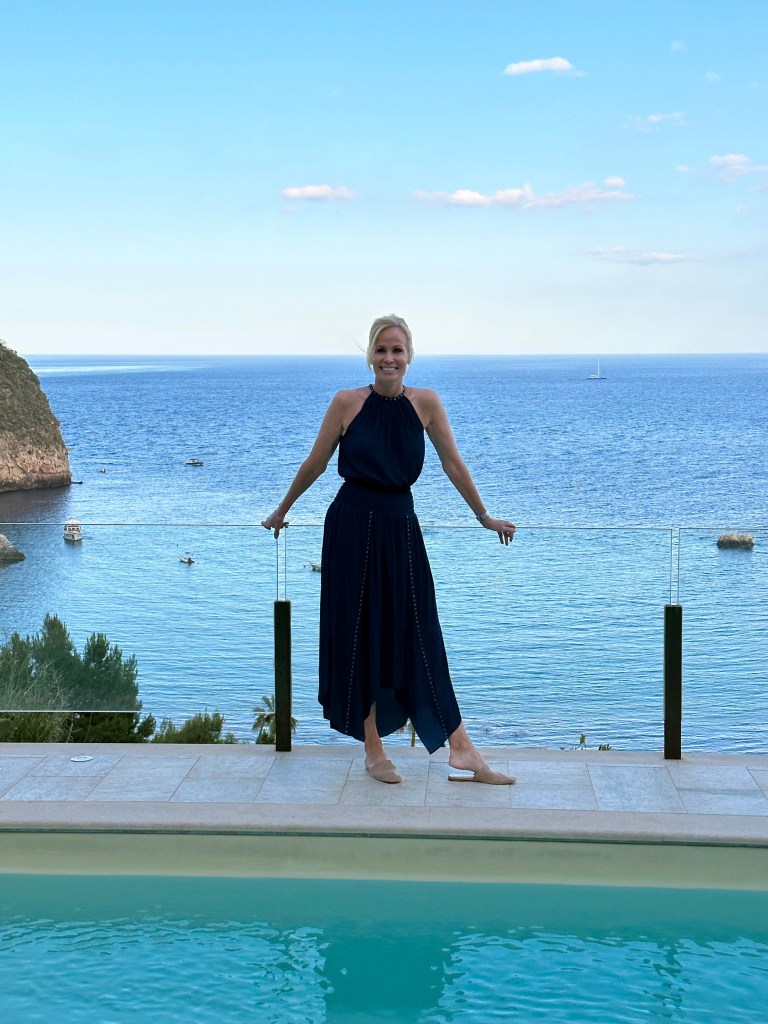
On to Malta!
Categories: A Prolonged Foray to Europe, Sicily | Tags: , , , , , , | Leave a comment

A Prolonged Foray to Europe: Valletta Area, Malta

From Taormina, Sicily, we flew a very short hop to the island nation of Malta, country no. 79 for WolfeStreetTravel (and one we’d been eying ever since planning The Smallest 5 for the Big 5-0 trip to Europe’s micronations in 2017).

Malta also represents the third-to-last leg of our post-retirement prolonged foray to Europe trip, the overview and map of which are posted here. We’d spend 4 nights in Malta, and the dry little island nation did not disappoint.

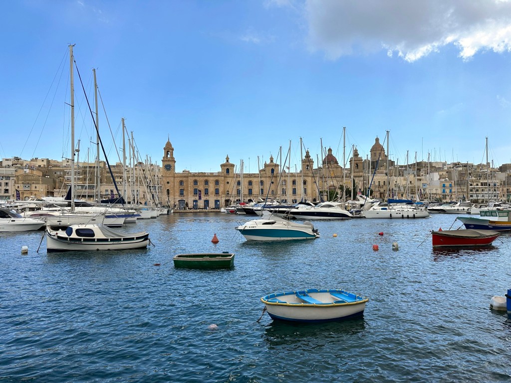
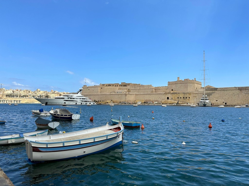
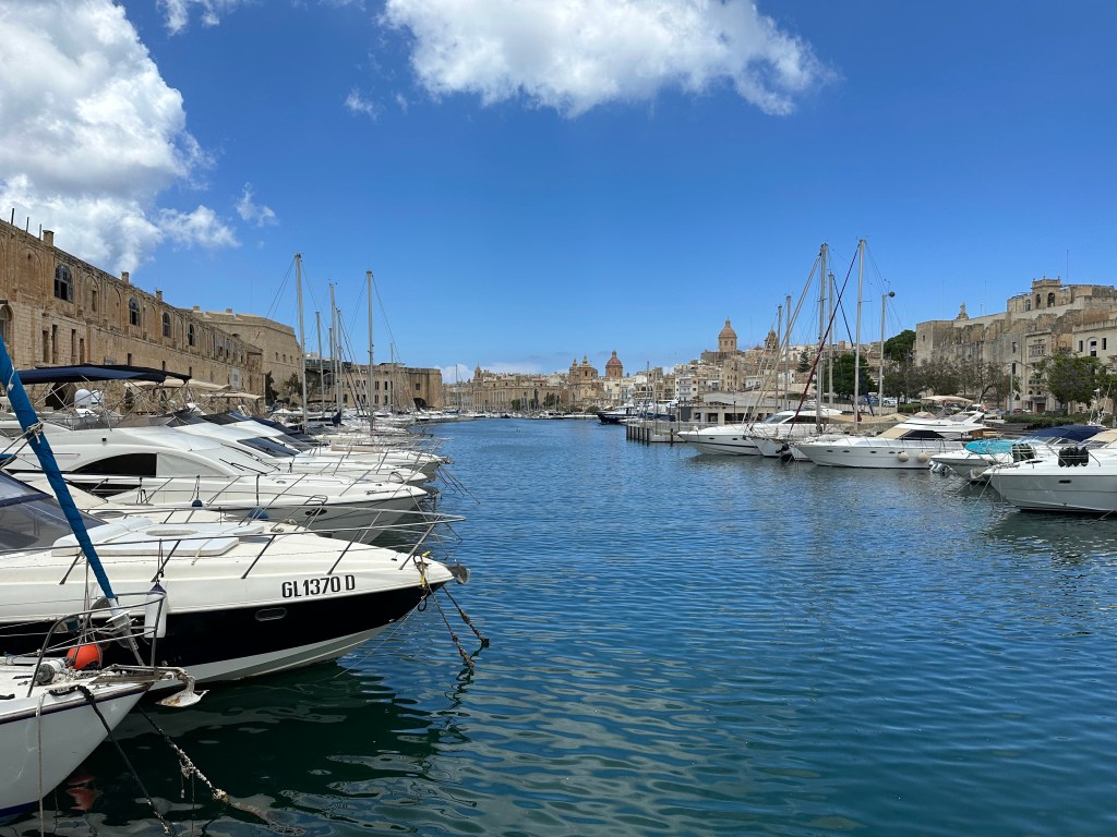
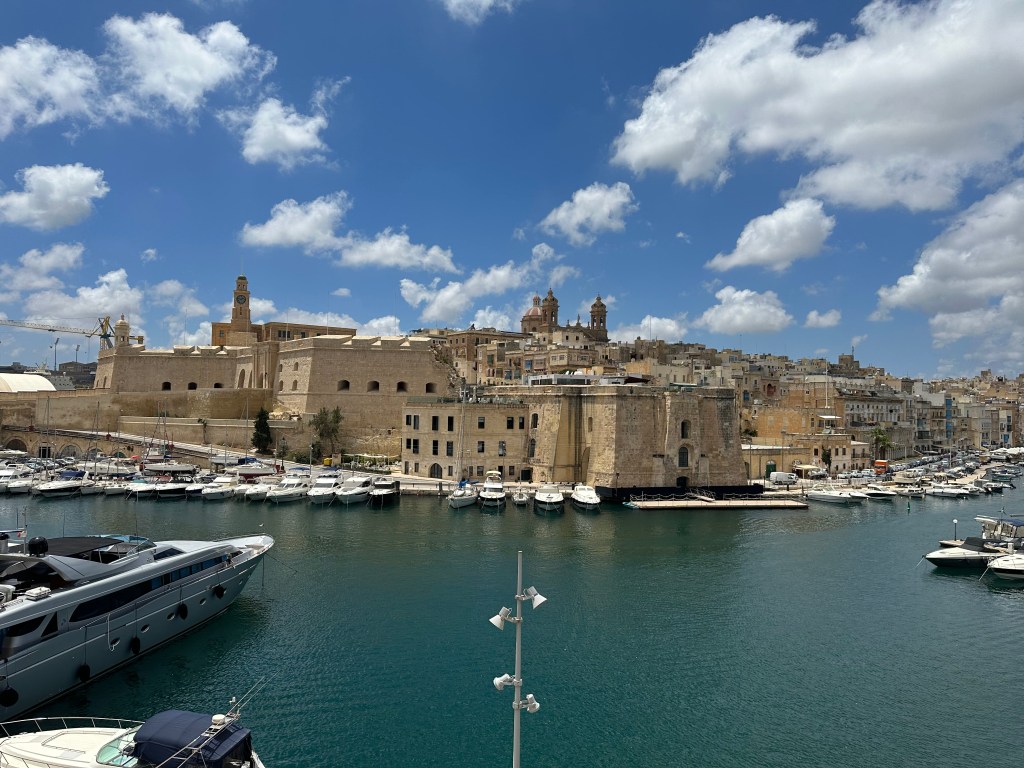
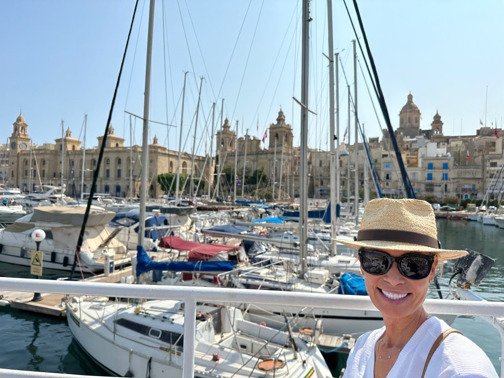
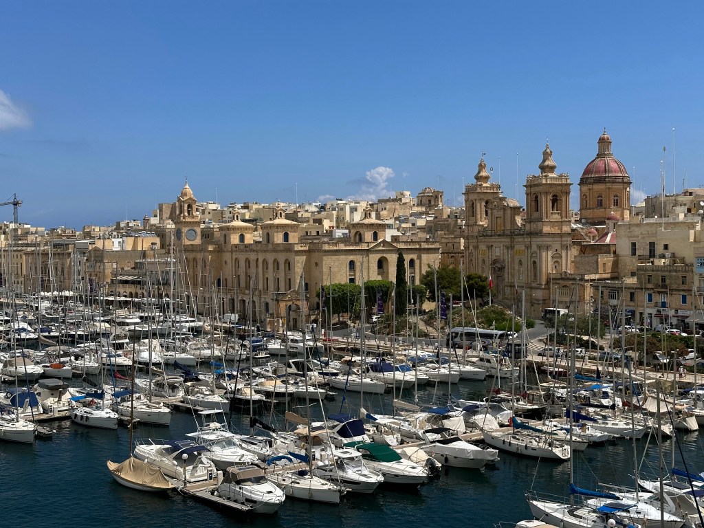
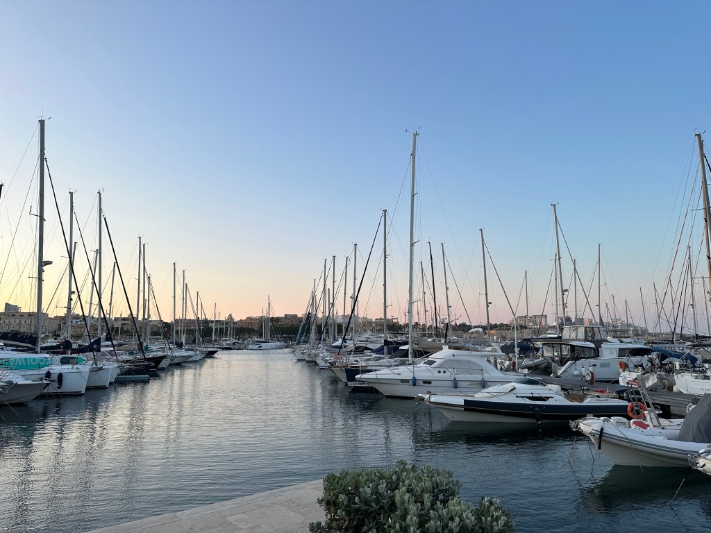
Malta’s Grand Harbor upon arrival:

The island’s history includes Phoenician, Carthaginian, and Roman occupation before the Arabs transformed it between 870 and 1090 AD, leaving a lasting imprint on the Maltese language, which remains Semitic at its core.

The Normans then took Malta, beginning a long stretch of Christian rule that culminated in 1530 when Holy Roman Emperor Charles V granted the island to the Knights Hospitaller after the order lost their previous base of operations, the island of Rhodes, to the Ottoman Turks. (The emperor also granted them the city of Tripoli in modern Libya, but the Ottomans ran them out of town there, as well, leaving them with only Malta [and a small town in the Holy Roman Empire, which they controlled until the early 19th century and Napoleon]).

While under Hospitaler control, the Ottomans continued their westward expansion across the Mediterranean, and targeted Malta as their next conquest. In 1565, the Hospitallers – left essentially to fend for themselves – repelled a prolonged Ottoman siege in one of history’s most dramatic defensive stands. Pretty epic tale. (And a good read – we finished Empires of the Sea: The Siege of Malta, the Battle of Lepanto, and the Contest for the Center of the World before we arrived to give us a good feel for what we were getting into; definitely recommended if you’re into that sort of thing.) After fending off the siege, the Hospitalers transformed some fortifications opposite the Grand Harbor into their capital city and named it Valletta after Jean Parisot de Valette, their Grand Master, who led the defense of the island.

Britain took control of Malta in 1800 after helping the Maltese expel the French forces that had occupied the island following Napoleon Bonaparte’s invasion in 1798. Although Britain initially intervened as an ally, it retained Malta because its central Mediterranean location and excellent natural harbor made it a vital naval base for protecting British trade routes and projecting military power. Britain refused to return the island as required by the Treaty of Amiens, and Malta remained a British colony until it gained independence in 1964.

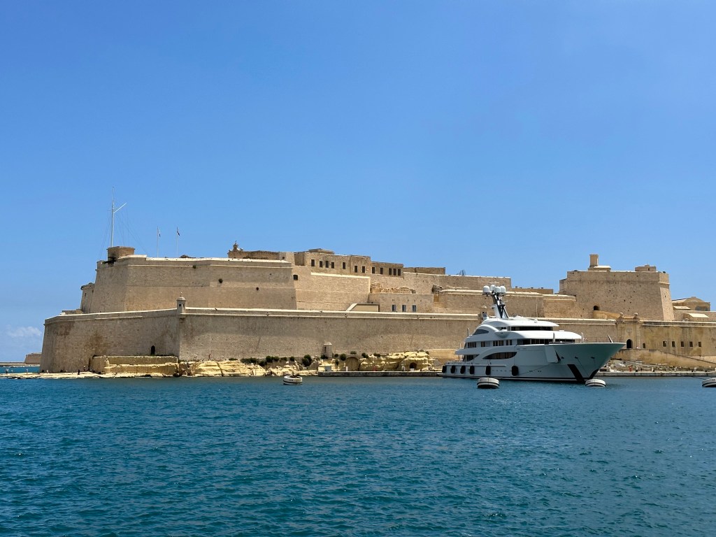
During Britain’s rule of the island in WWII, Malta became a critical naval hub and endured one of the most sustained aerial bombardments of the entire war, earning the troops the George Cross collectively from King George VI in 1942. Fort Angelo on the peninsula of Birgu, which was manned by the British Navy during WW II, seen from across the harbor from the peninsula of Senglea (we’d eventually visit it):

Malta gained independence in 1964, became a republic in 1974, and joined the European Union in 2004, completing a journey from ancient temple-builders to modern European democracy in one of the Mediterranean’s most strategically contested stretches of rock.

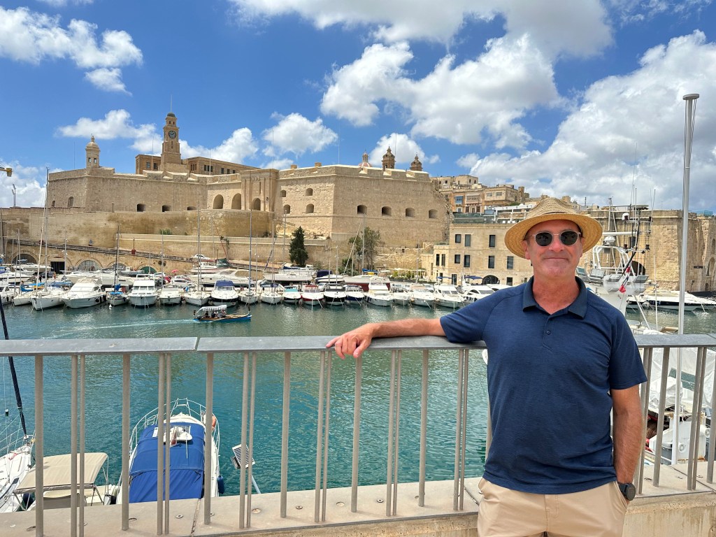
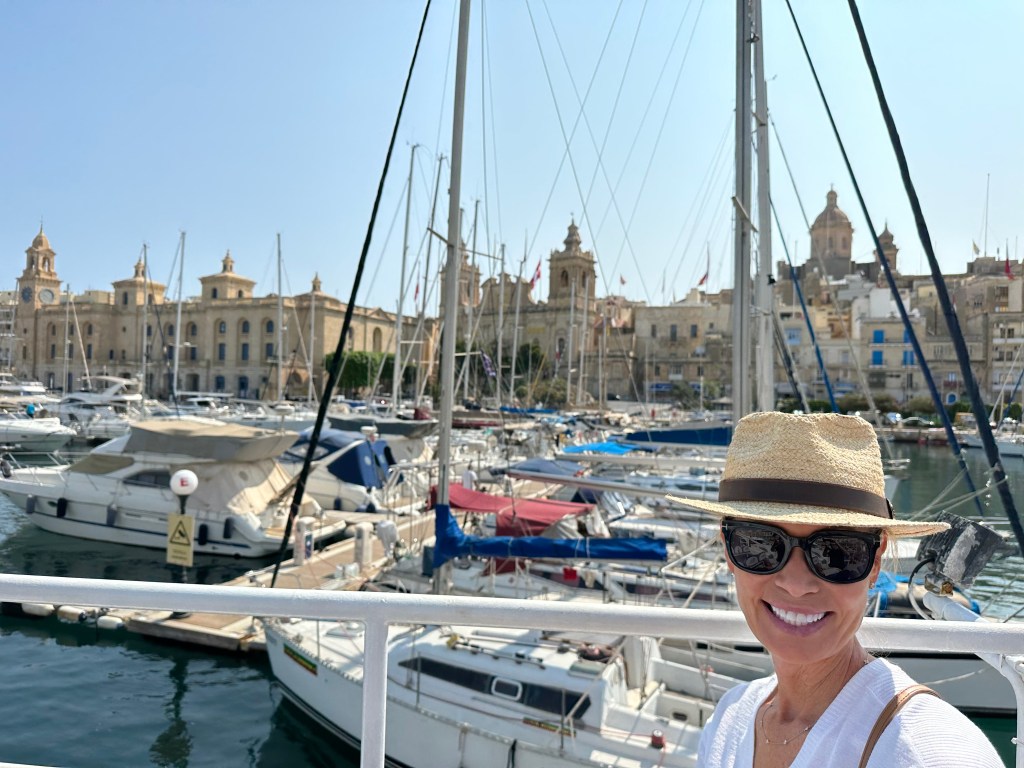
Our hotel in the background was located in a decommissioned fortress on Senglea, one of Malta’s historic Three Cities on a spit of land across the Grand Harbor from Valetta, the capital city.

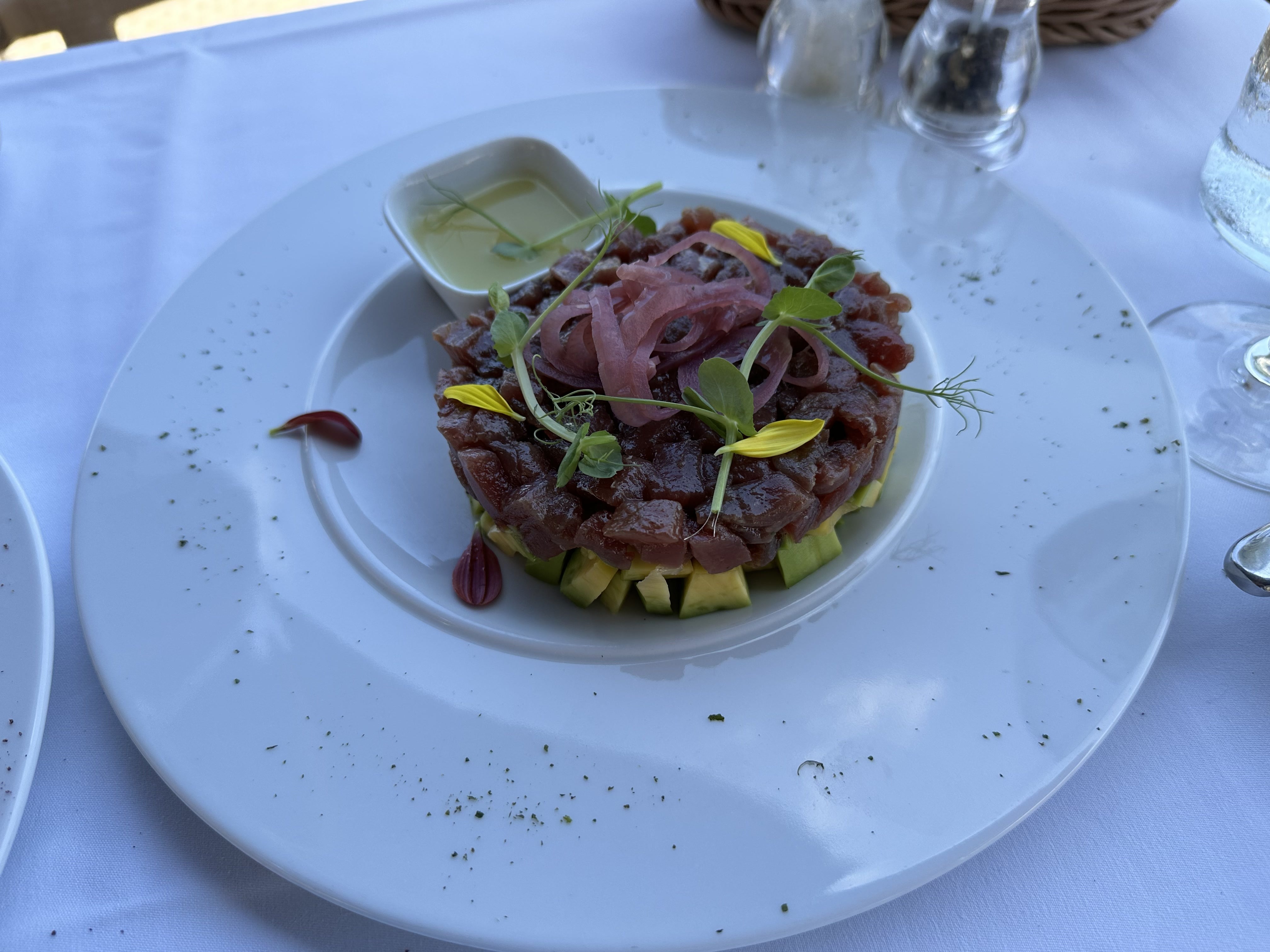
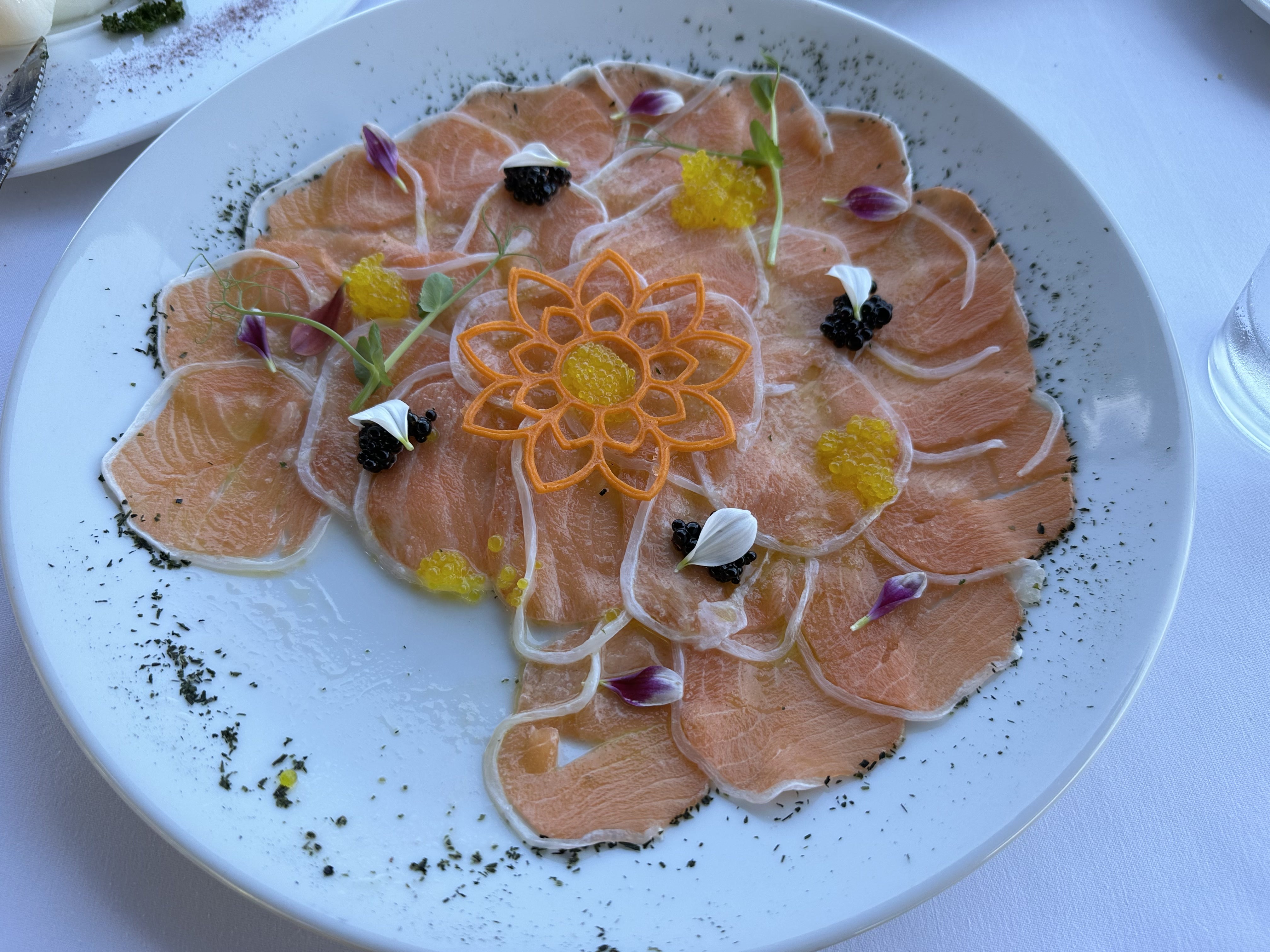
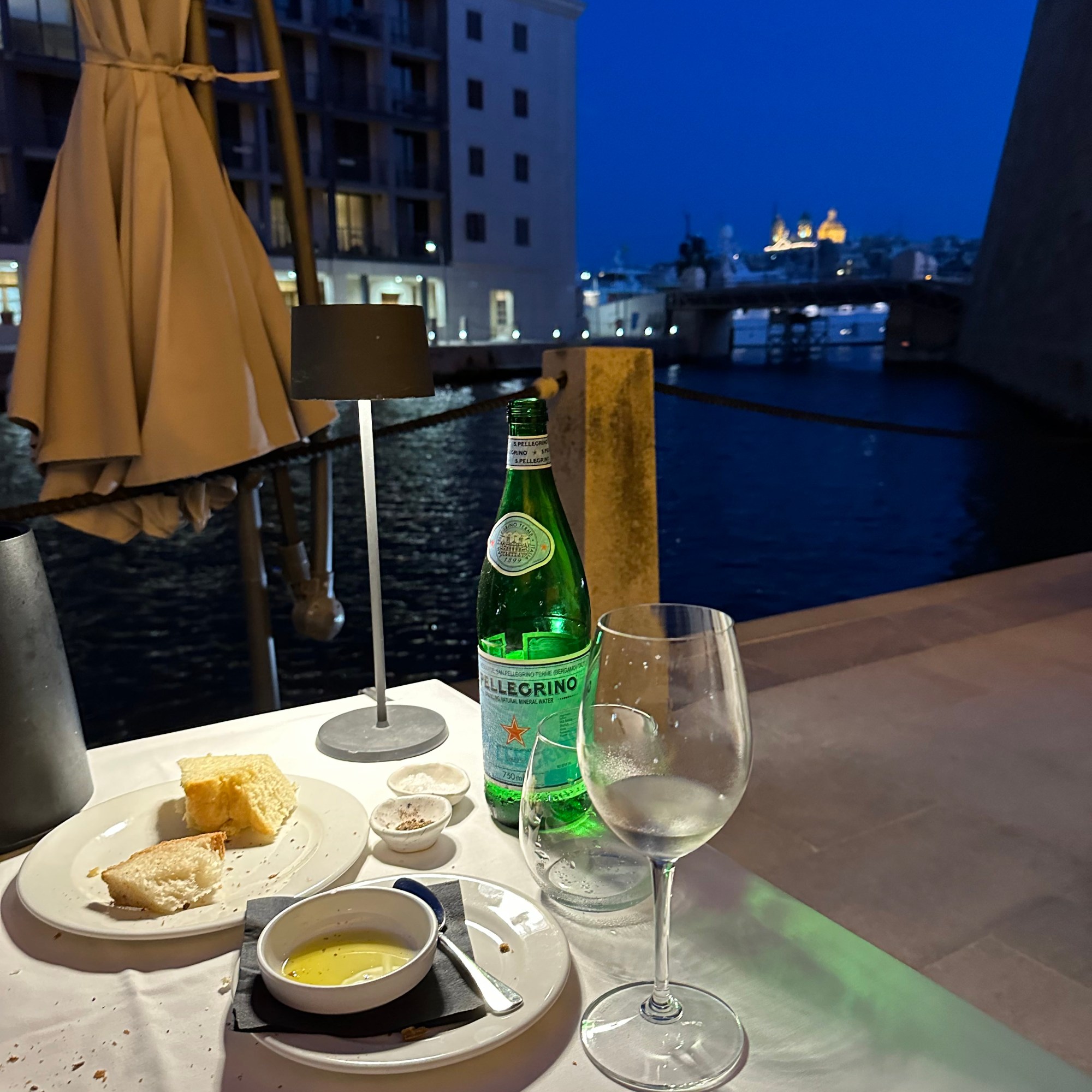
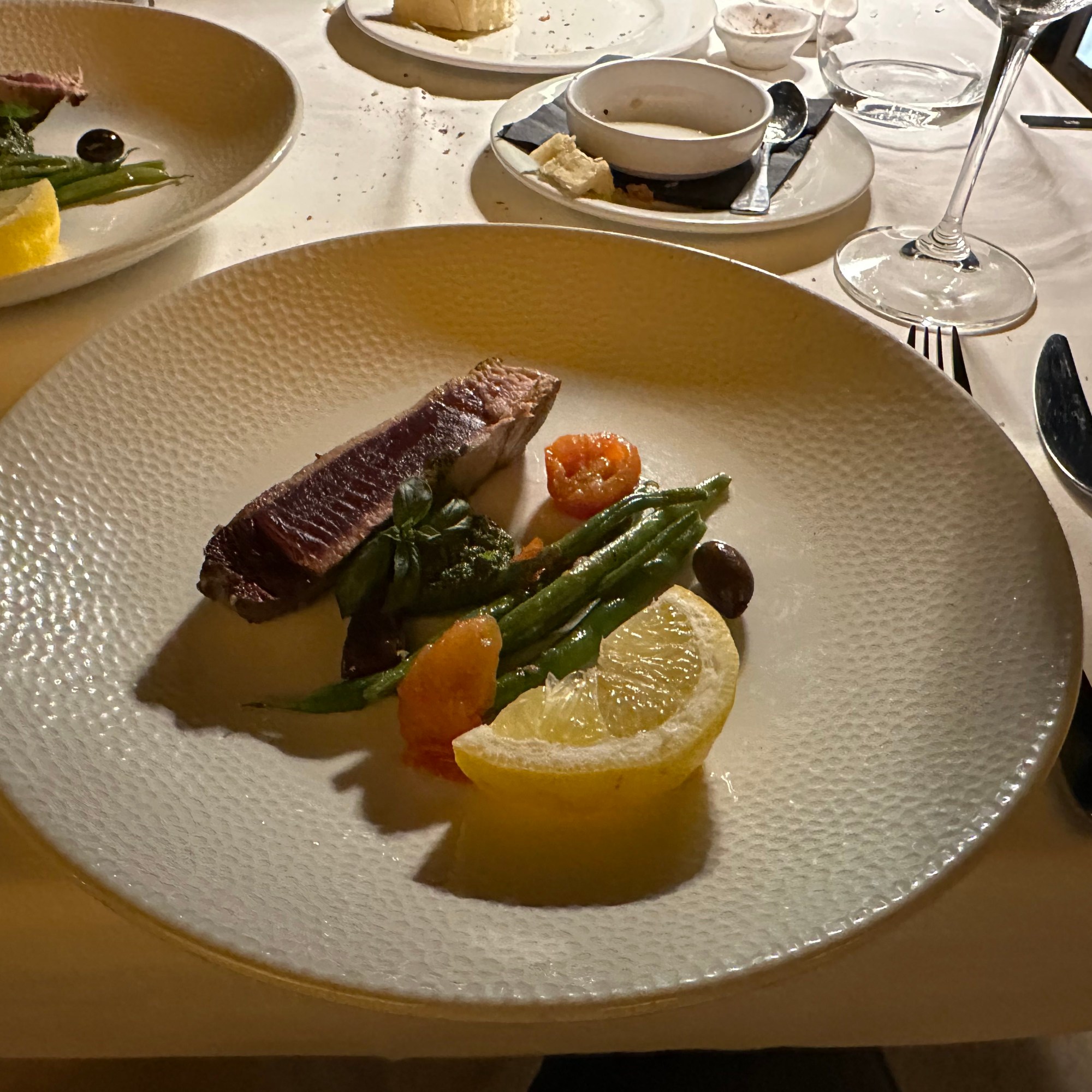
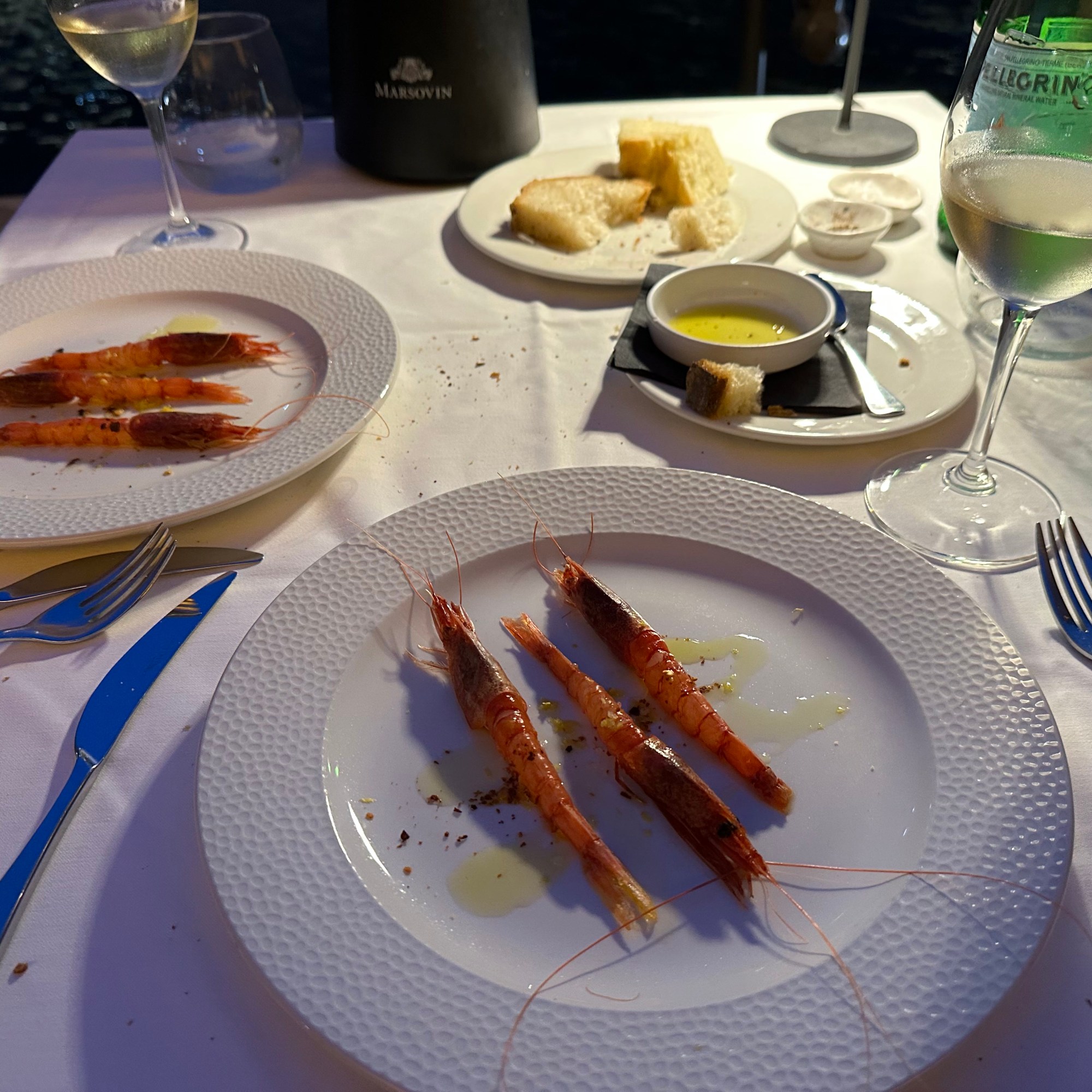
First lunch in town on Senglea – pretty great start to our stay (we’d return there for our final dinner):

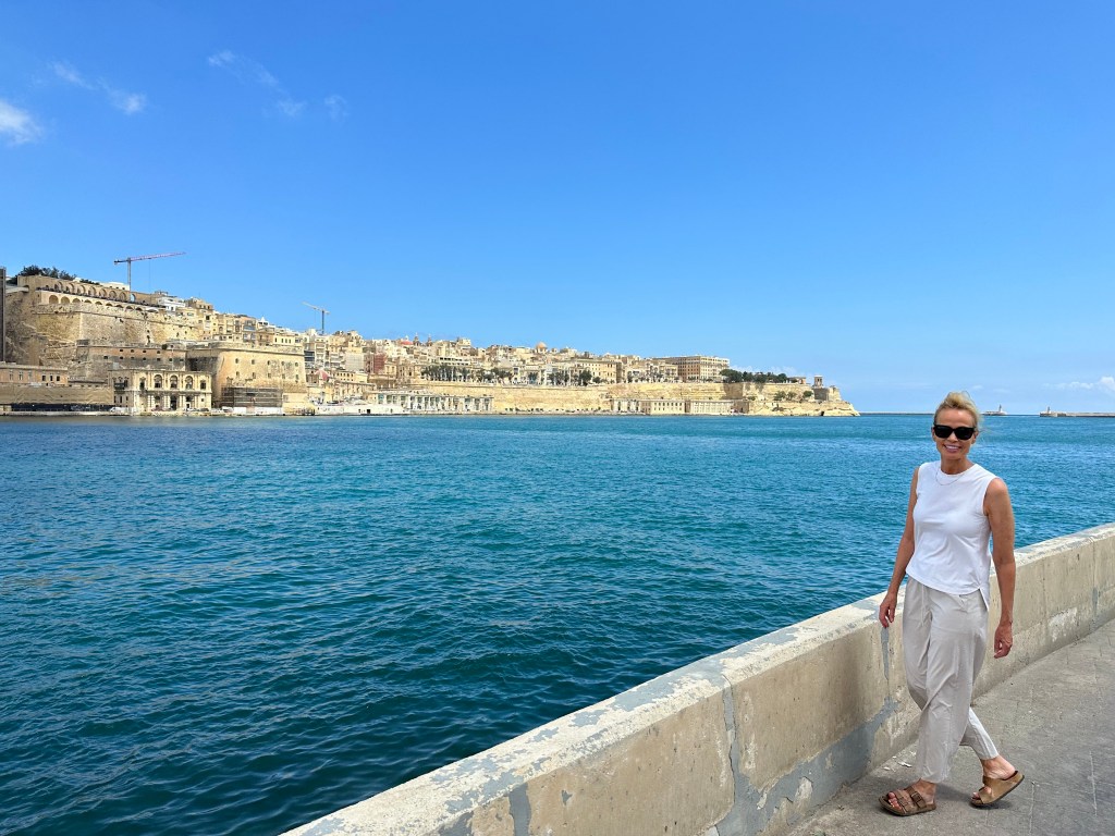
Walking along the Grand Harbor; we stayed on the left, the peninsula of Senglea; the parallel peninsula of Birgu is to the left, and Valletta itself is straight ahead.

The fortifications around Valletta, passed as we arrived from the water taxi stand many stories below the city elevation (there’s an outdoor elevator to get you from there to here):

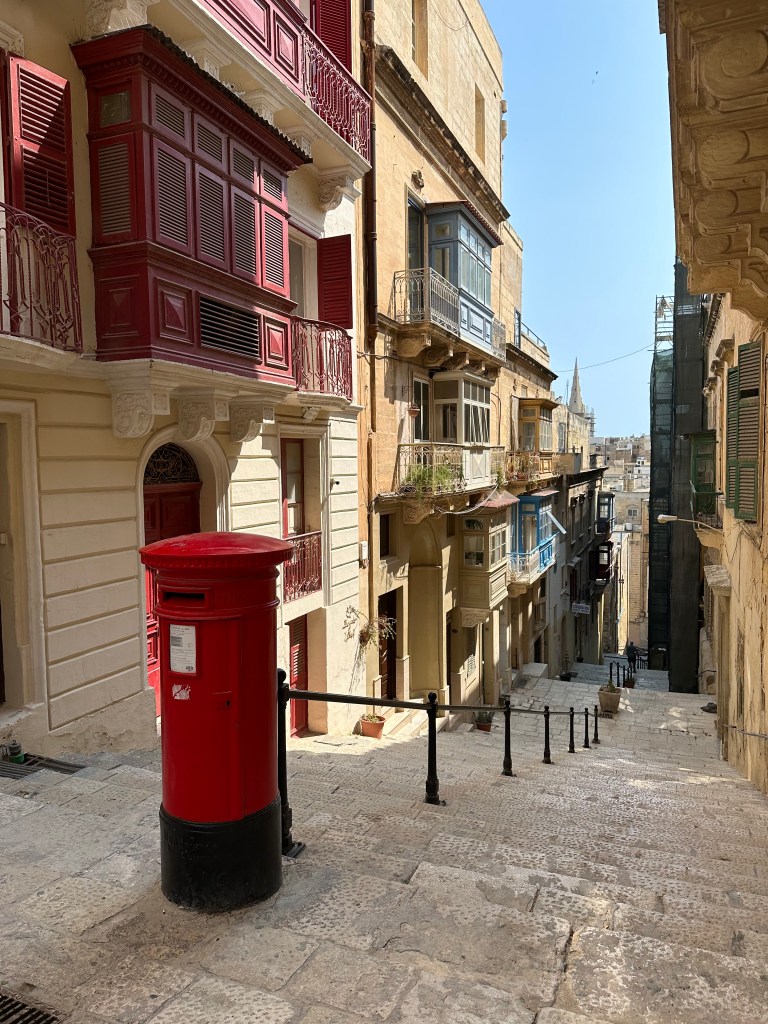
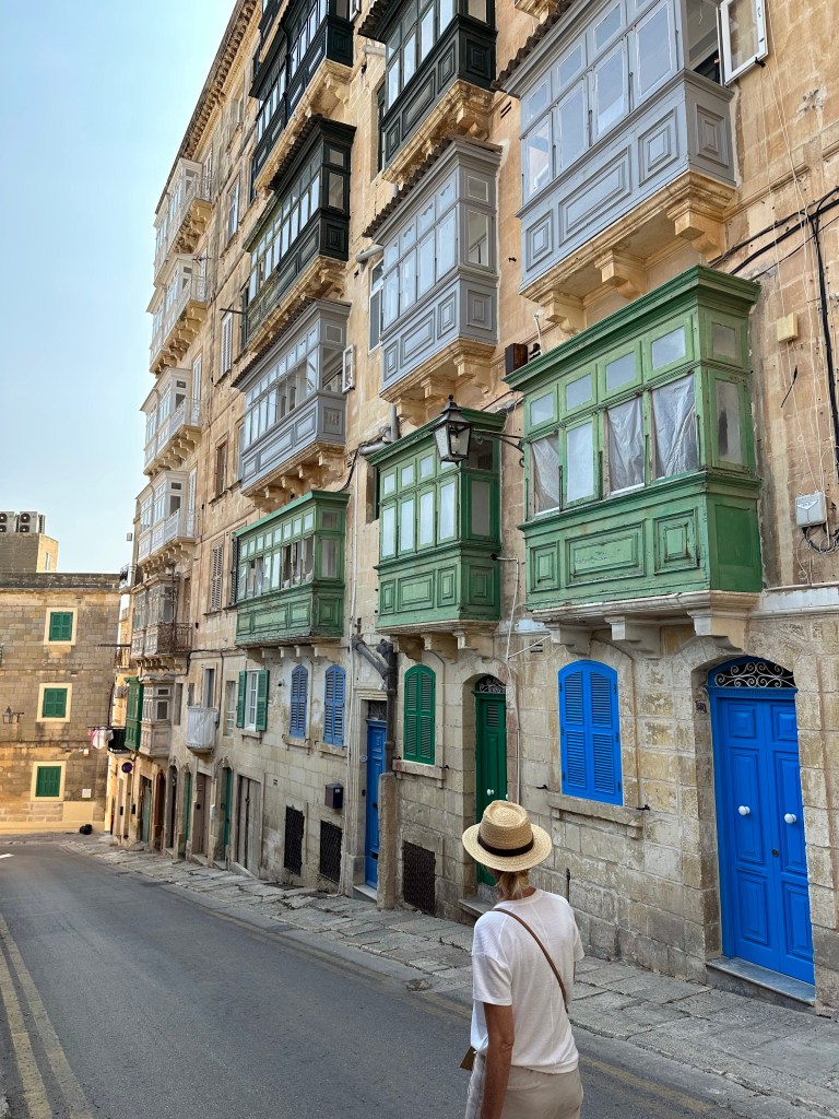
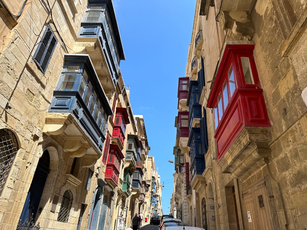
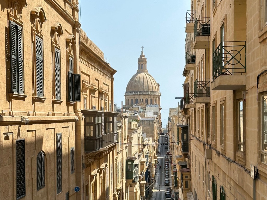
The narrow and atmospheric streets of Valletta:

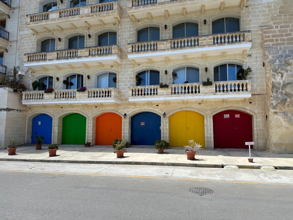
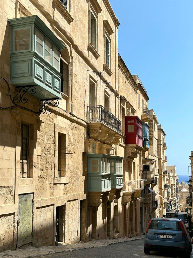
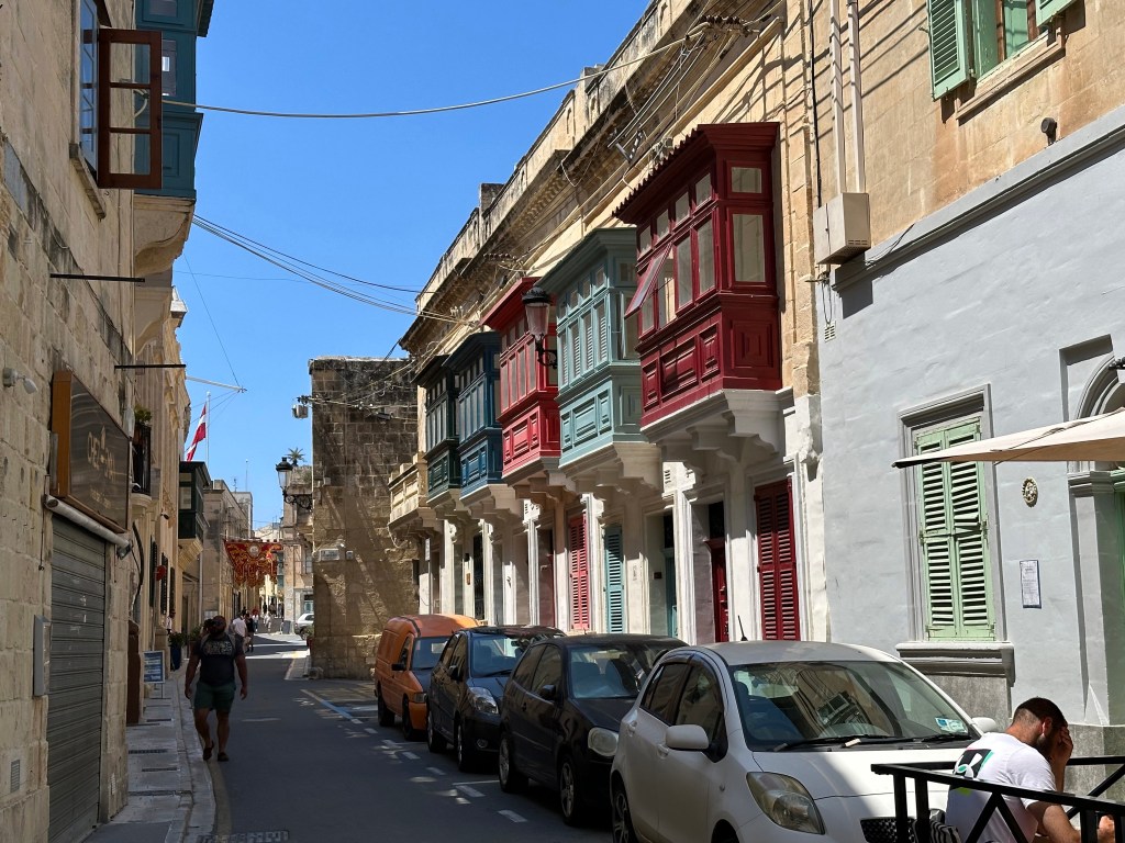
Punctuated by the city’s uniquely characteristic and multicolored gallarija:

“The gallarija is considered a descendant of the Maltese muxrabija, and it is closely related to the mashrabiya which are typical in Arabic architecture. . . [which consist of] an ornate timber screen, perforated with an intricate network of holes, tightly fitted into a window or loggia. . . Muxrabijet had the task to keep the interior of the building cool by allowing circulation of air through the carved wood. They were also used as cooling device for storing water, and as a security measure to observe the outside without being seen.“

Pretty much every single street in Valletta was flanked by gallarija.

A city of limestone, punctuated by brightly colored wood elements. Pretty picturesque.

Water taxi ride back to Senglea:

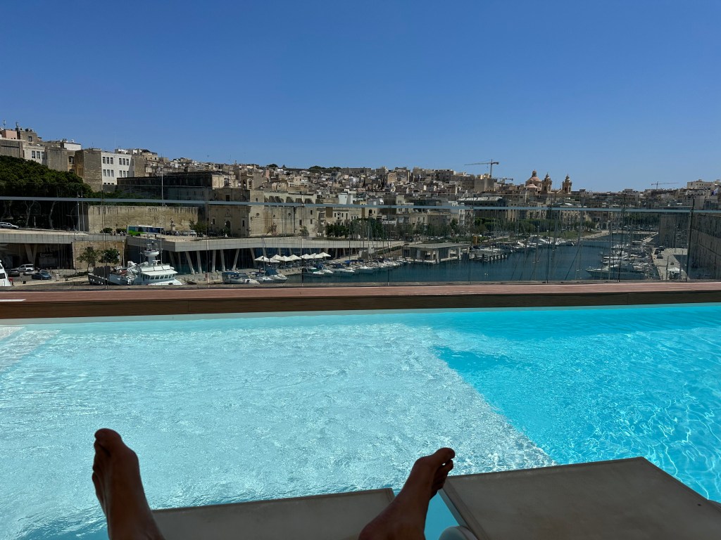
Our hotel occupied one of the Hospitalers’ old fortresses, which was freakin’ awesome. The walls in the rooms were 3′ thick and you could feel the history. Plus, this pool:

Pretty great perch of the Grand Harbor.

View from our room’s cannon embrasure-cum-window:

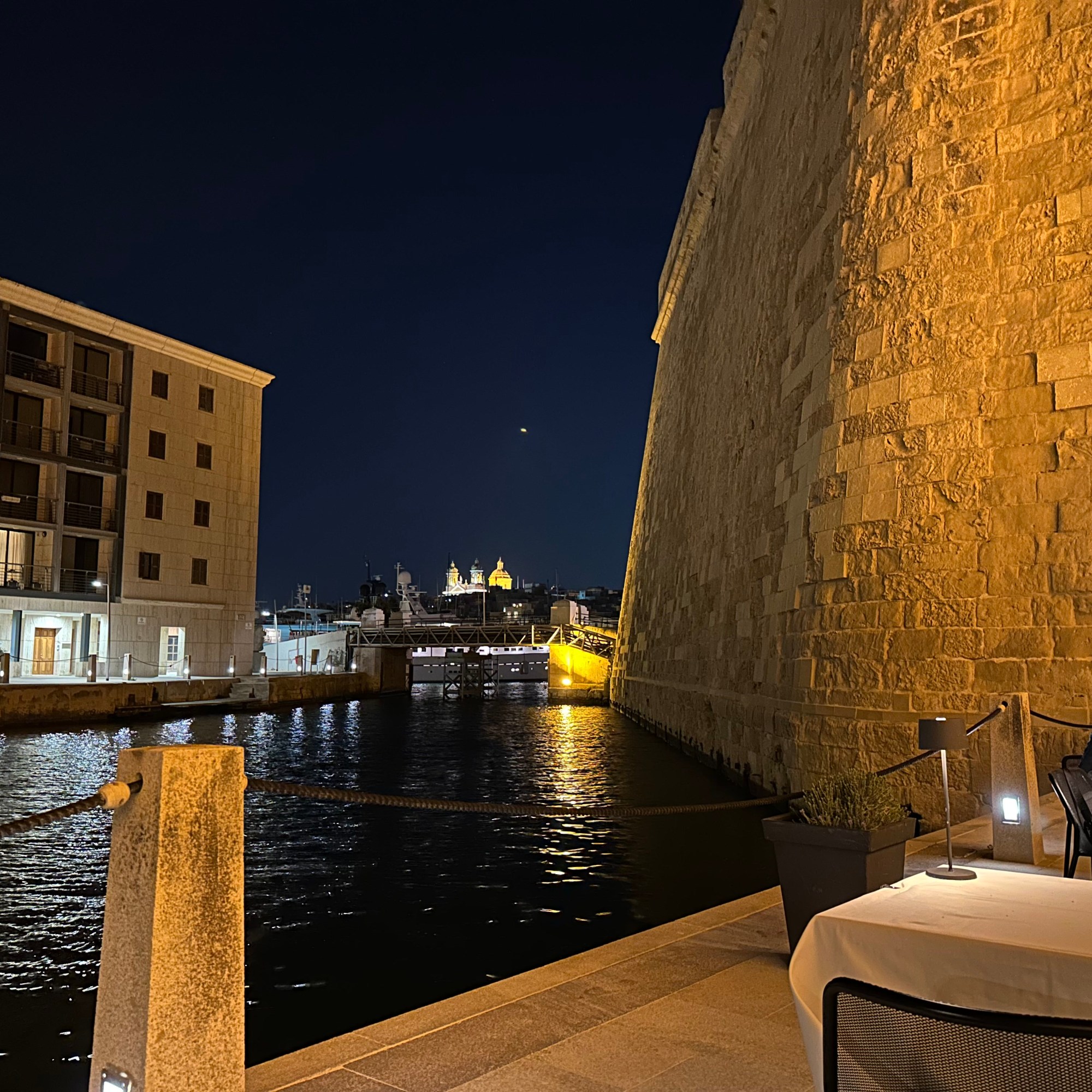
Very cool little harbor area off the Grand Harbor on Birgu that was, um, harboring a very nice restaurant.

Access to the restaurant was gained through the abandoned tunnels of Fort St. Angelo.

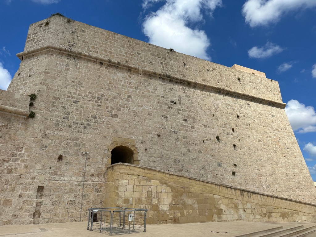
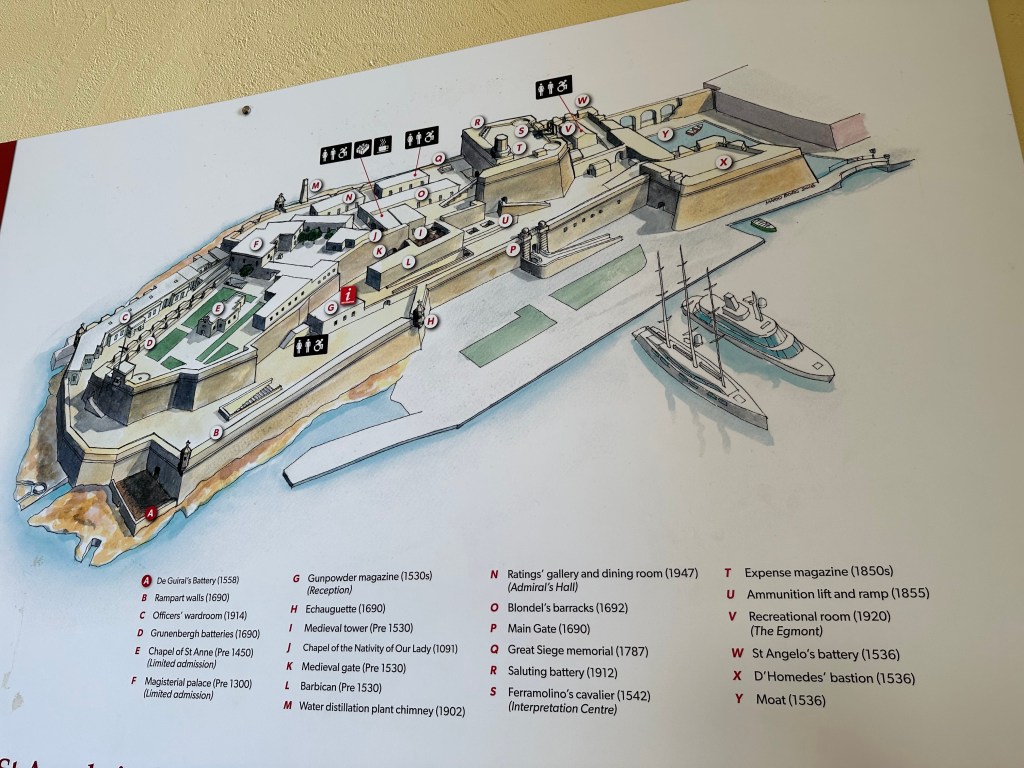
After walking around, sailing around, and walking under Fort St. Angelo, we finally decided to actually visit the place.

“The fort was garrisoned by the British from 1800 to 1979, at times being classified as a stone frigate known as HMS Egmont or later HMS St Angelo. The fort suffered considerable damage during World War II, but it was later restored.“

Map of the fortifications with dates delineating the evolution of the fort from the Hospitalers’ era in the 1500s (and even earlier to 1091 for one of the chapels that predated – by a long stretch – their arrival) to the 1940s:

View over to Senglea across the harbor:

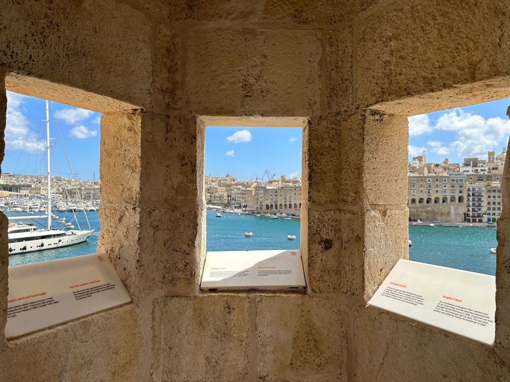
Inside a watchtower on the very tip of the fort and of Birgu; the tip of Senglea is out the right window, but you can’t tell.

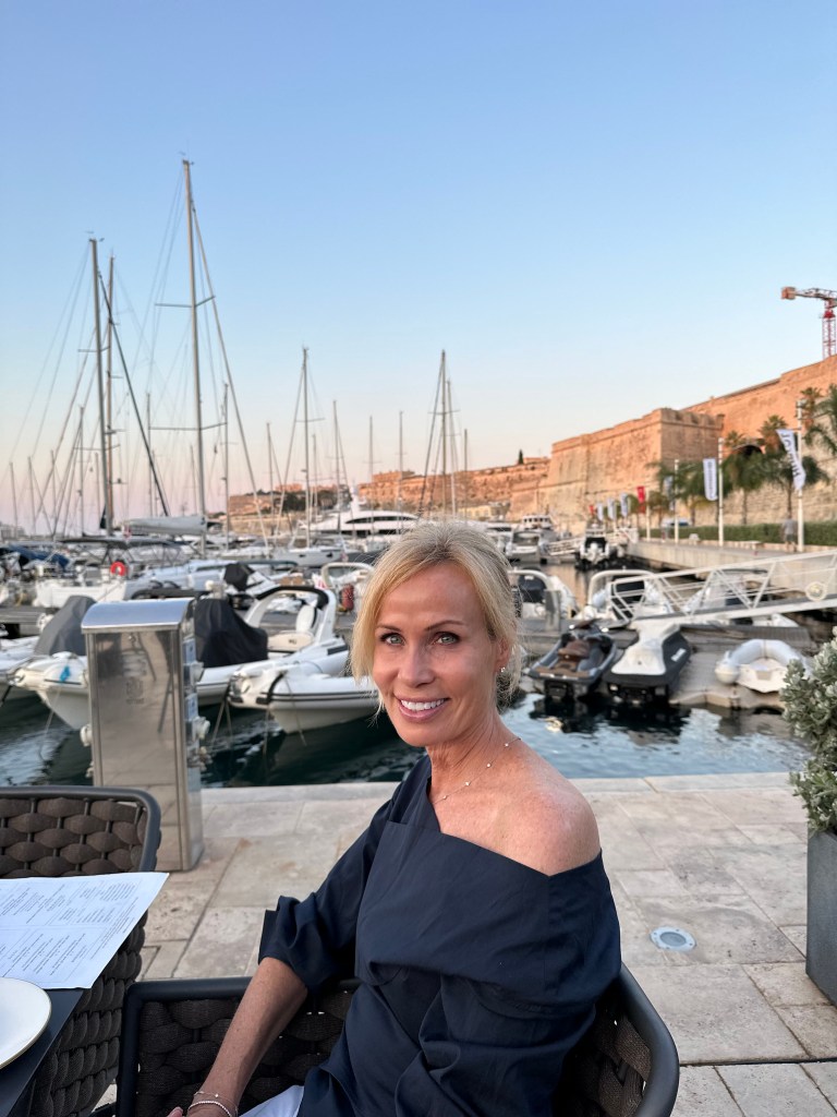
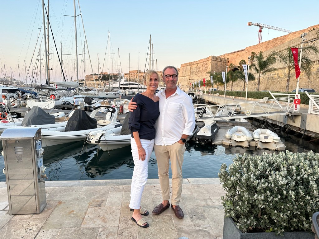
Another evening in Malta after a day trip to Mdina, which will cover in another post. Unbelievable weather the entire time, though.

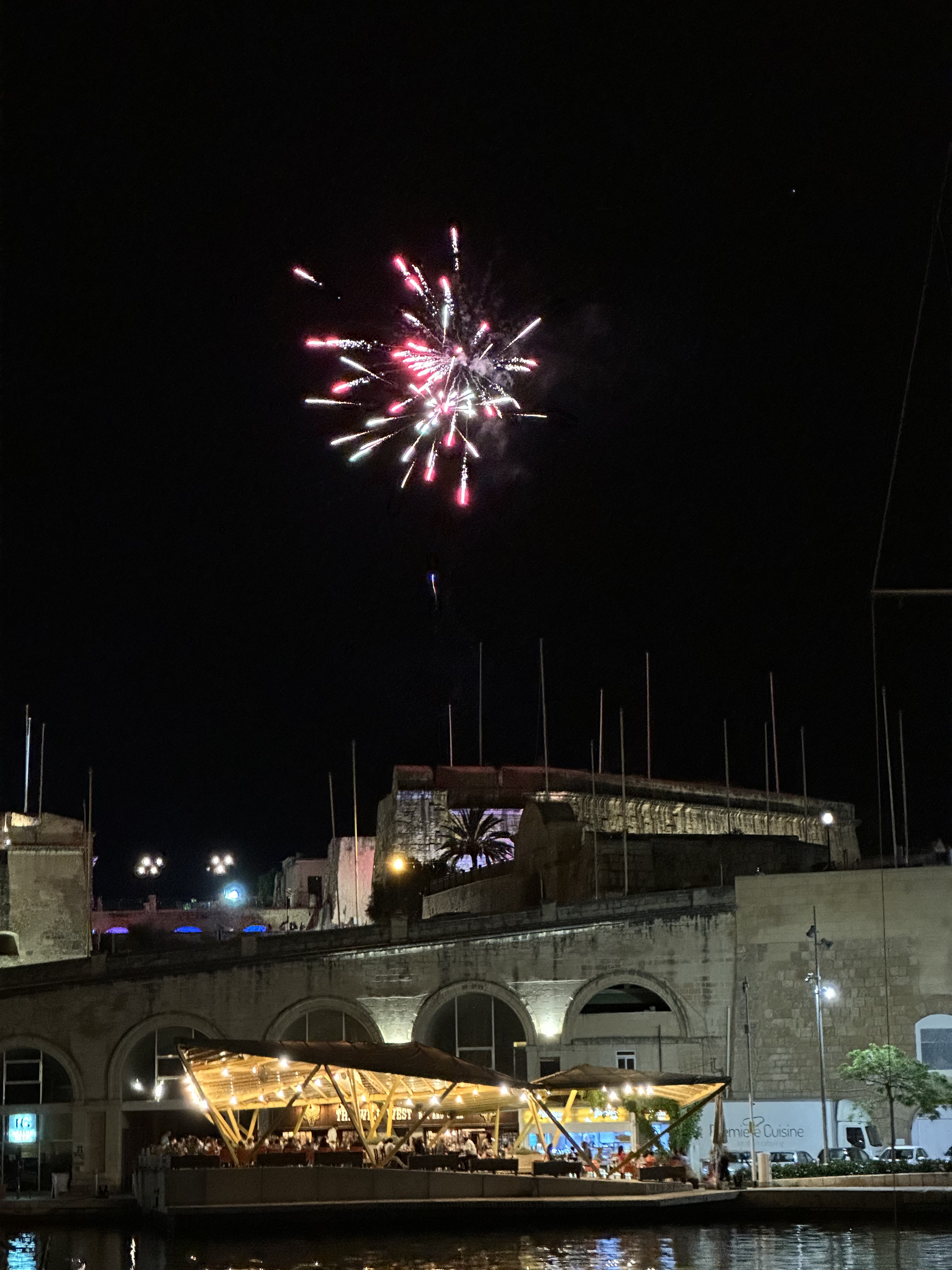
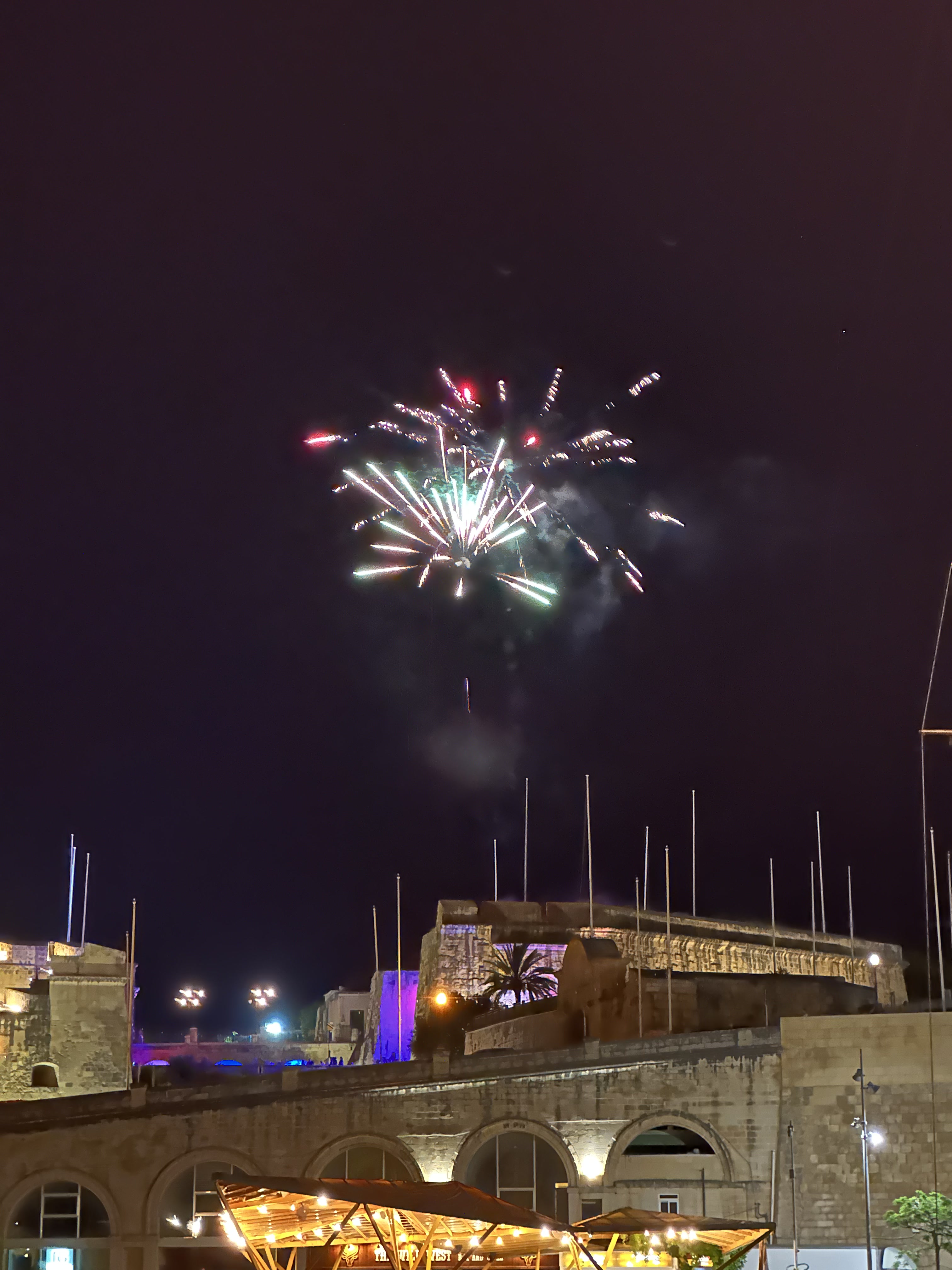
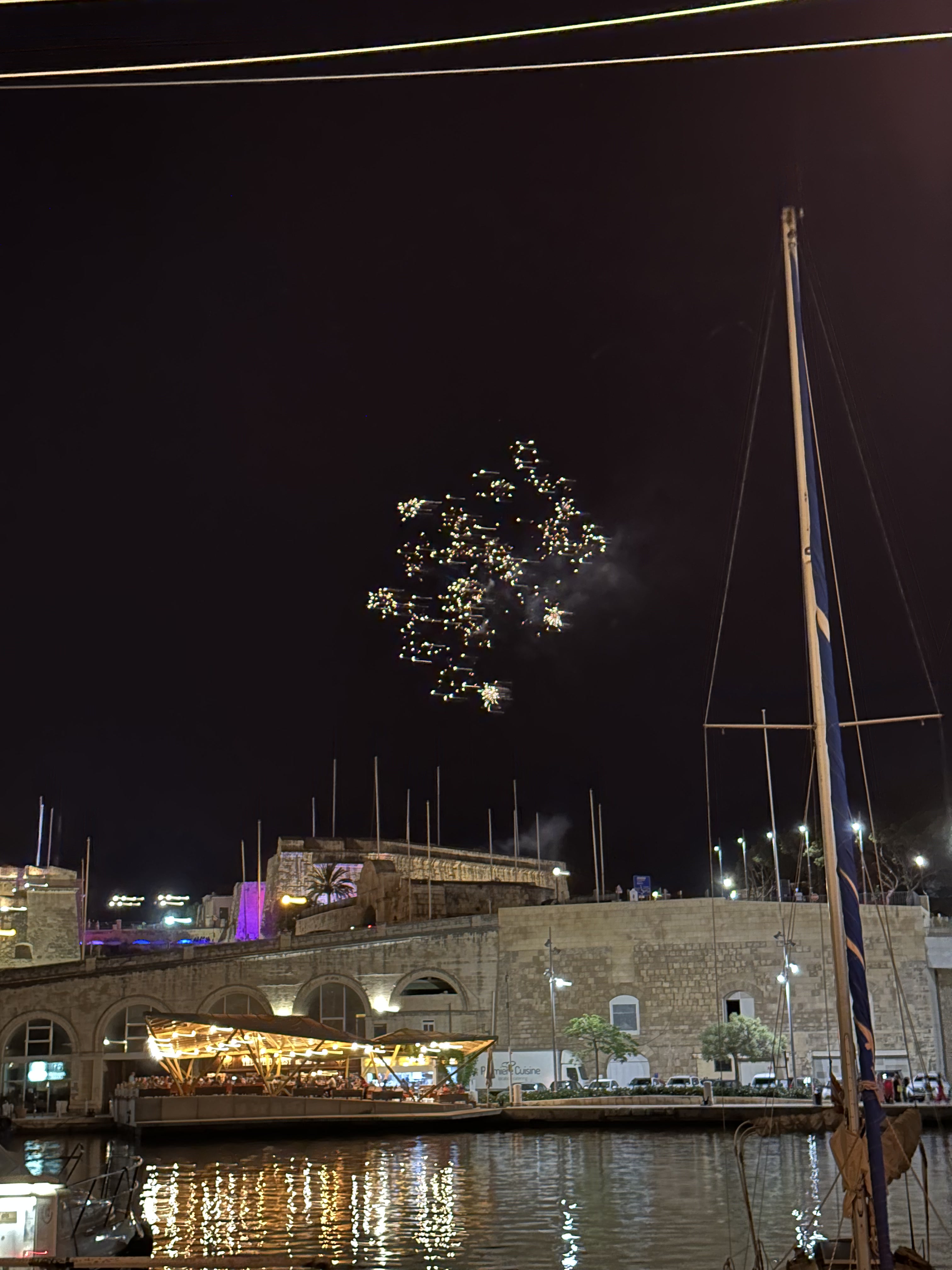
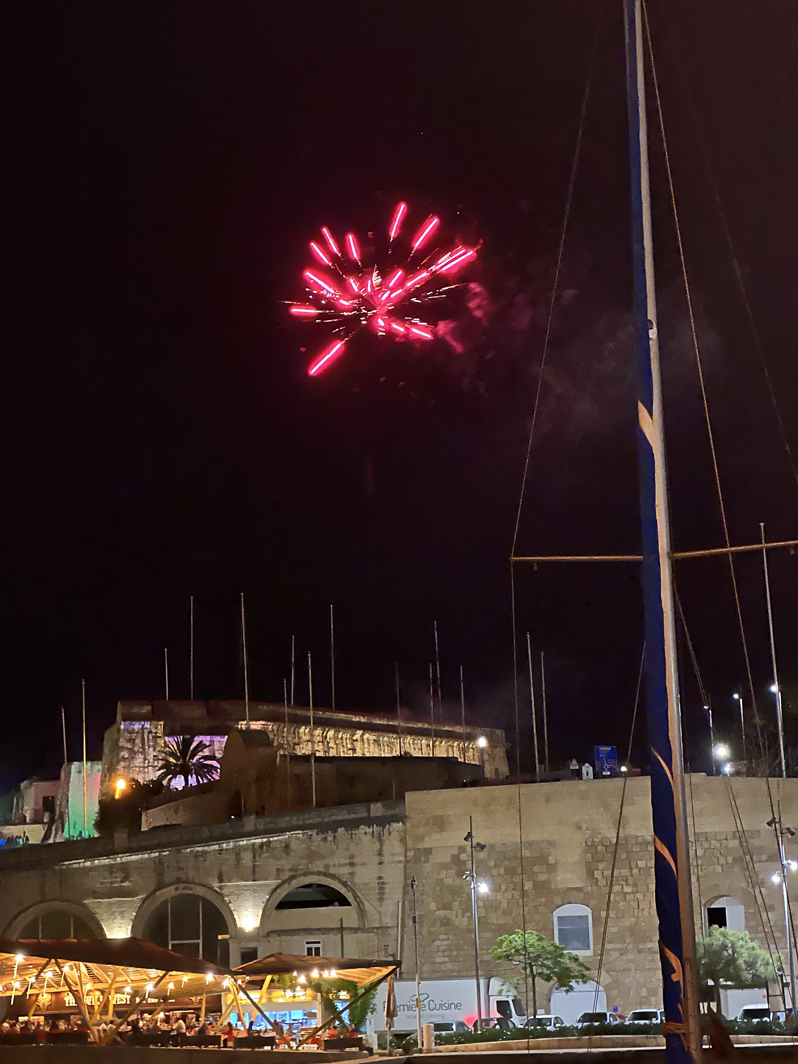
Unexpected fireworks towards the end of dinner:

The dome of Hospitalers’ (Order of St. John’s / Knights of St. John’s) St. John Co-Cathedral in Valletta:

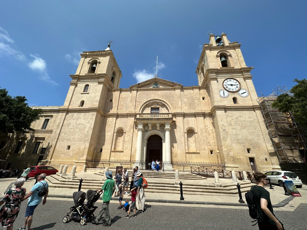
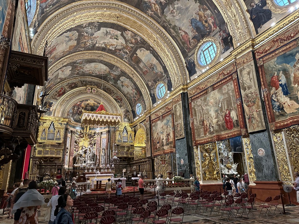
St. John’s Co-Cathedral was built between 1573 and 1578 by the Knights of St. John as their conventual church following the Great Siege of Malta, with its austere exterior designed by Maltese architect Girolamo Cassiere concealing one of the world’s most lavish Baroque interiors.

It’s a co-cathedral (we had never heard of this before) because the original (and still) bishop’s seat on Malta was in the interior town of Mdina at St. Paul’s Cathedral. But the Hospitalers new one got recognized by the Pope, as well, and he granted it equal cathedral status, as a co-cathedral. One bishop, two cathedrals. Pretty wild.

Today, the co-cathedral is Malta’s most important religious and artistic monument, symbolizing the power and legacy of the Knights Hospitaller while serving as one of Europe’s finest examples of Baroque architecture and a centerpiece of Valletta’s UNESCO World Heritage status.

Spectacular ceiling of the co-cathedral

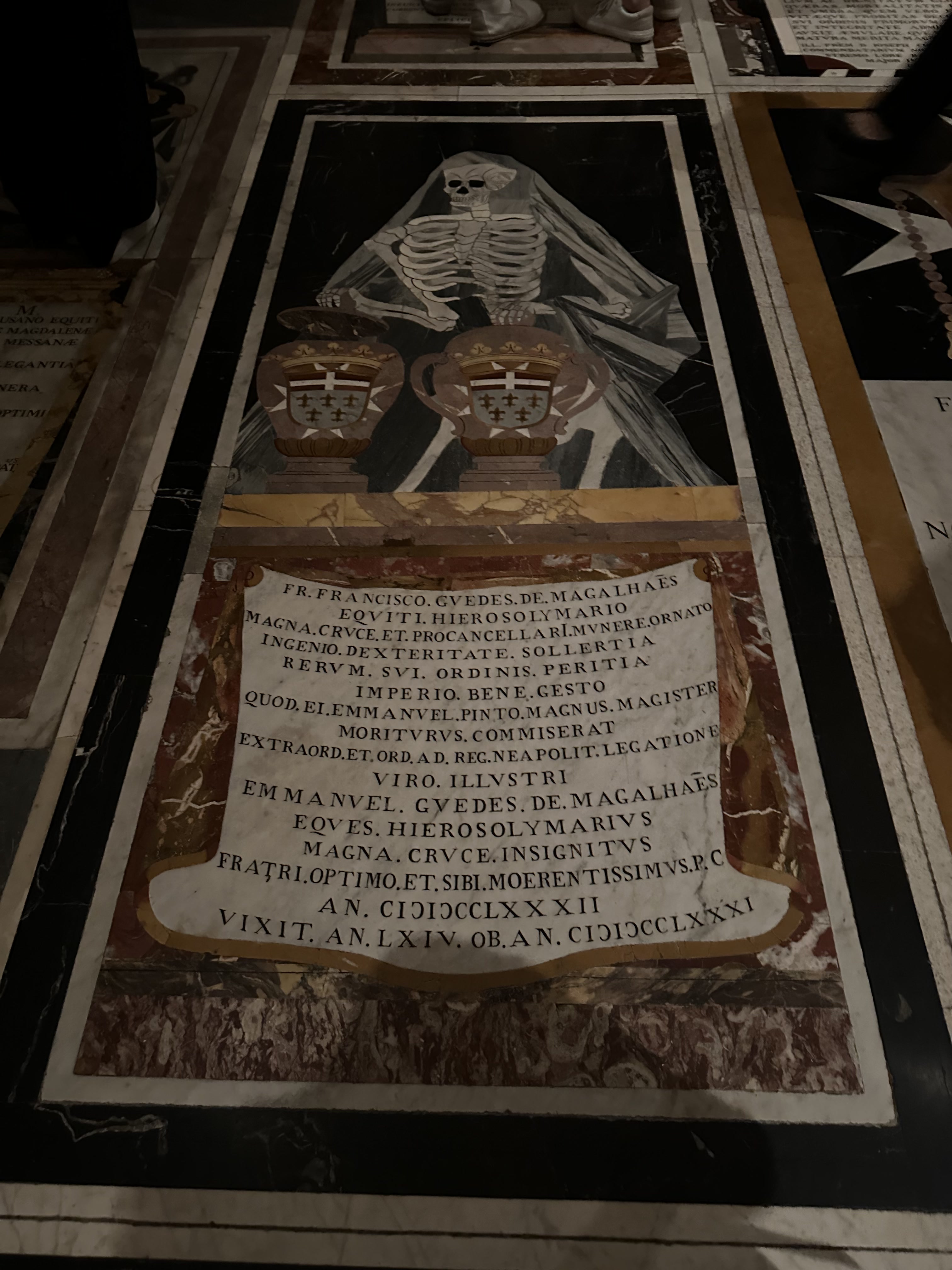
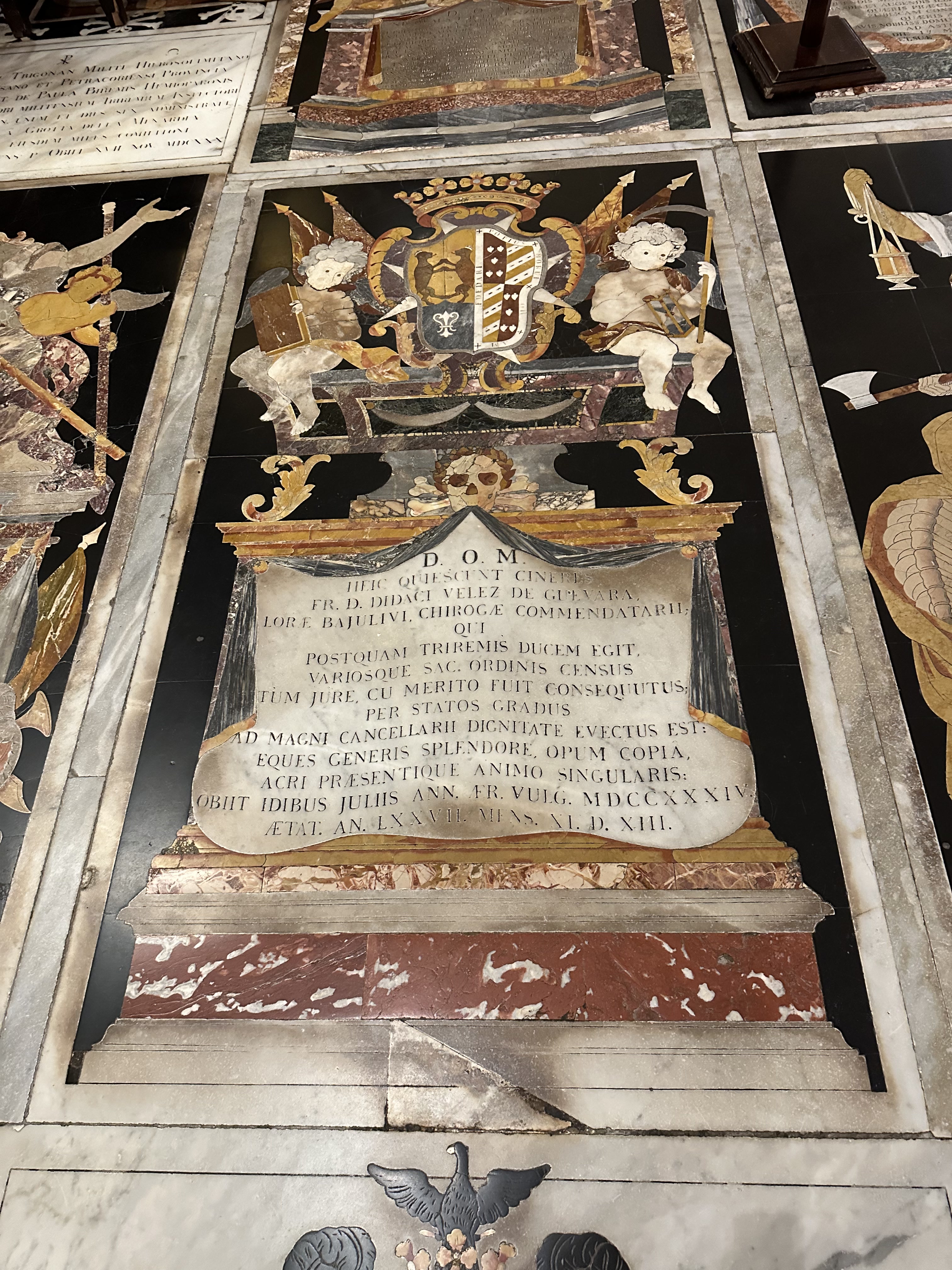
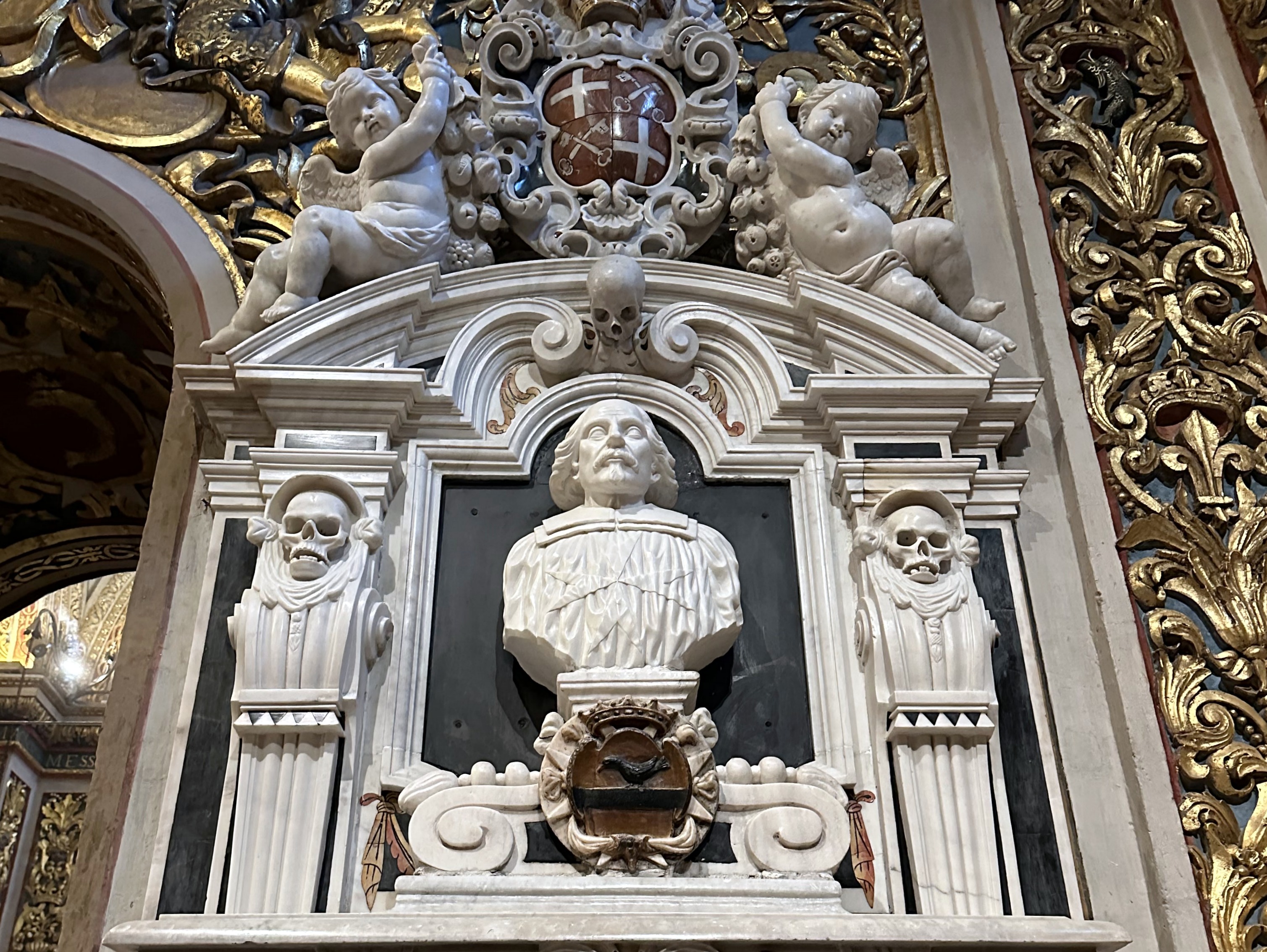
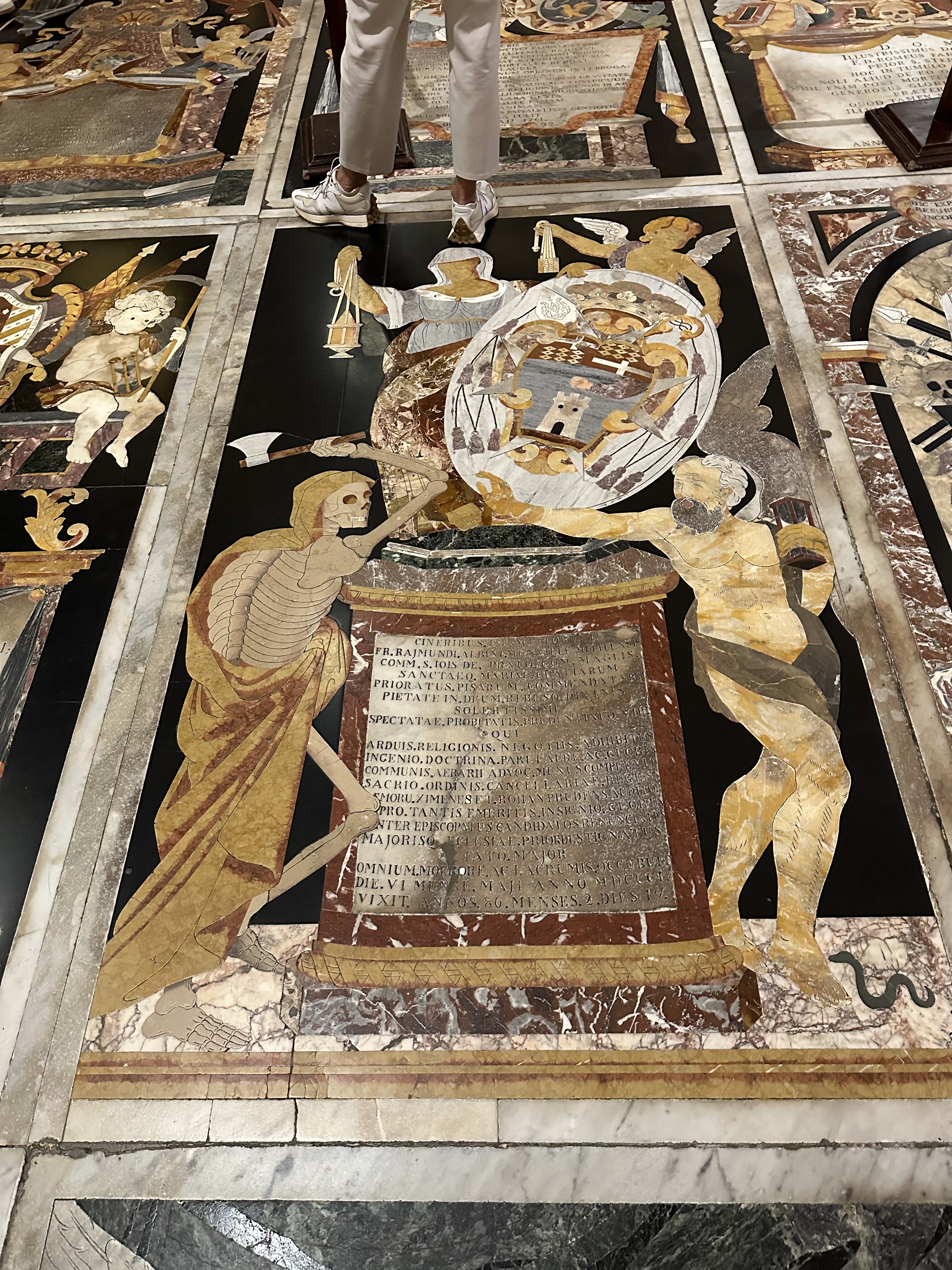
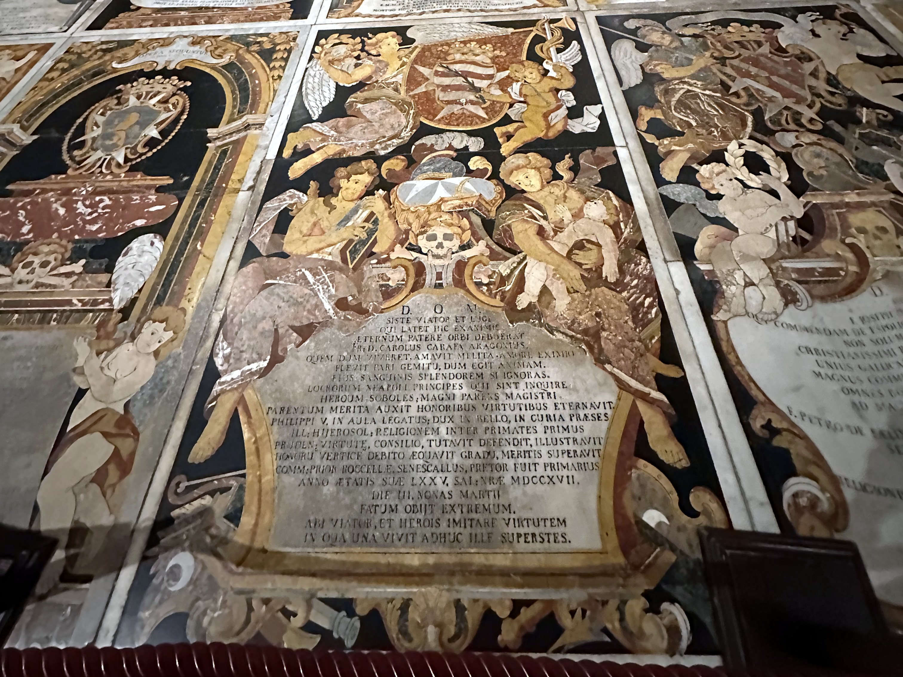
Way better to us was the floor – the entire place was occupied by elaborate tombs of the Knights of St. John:

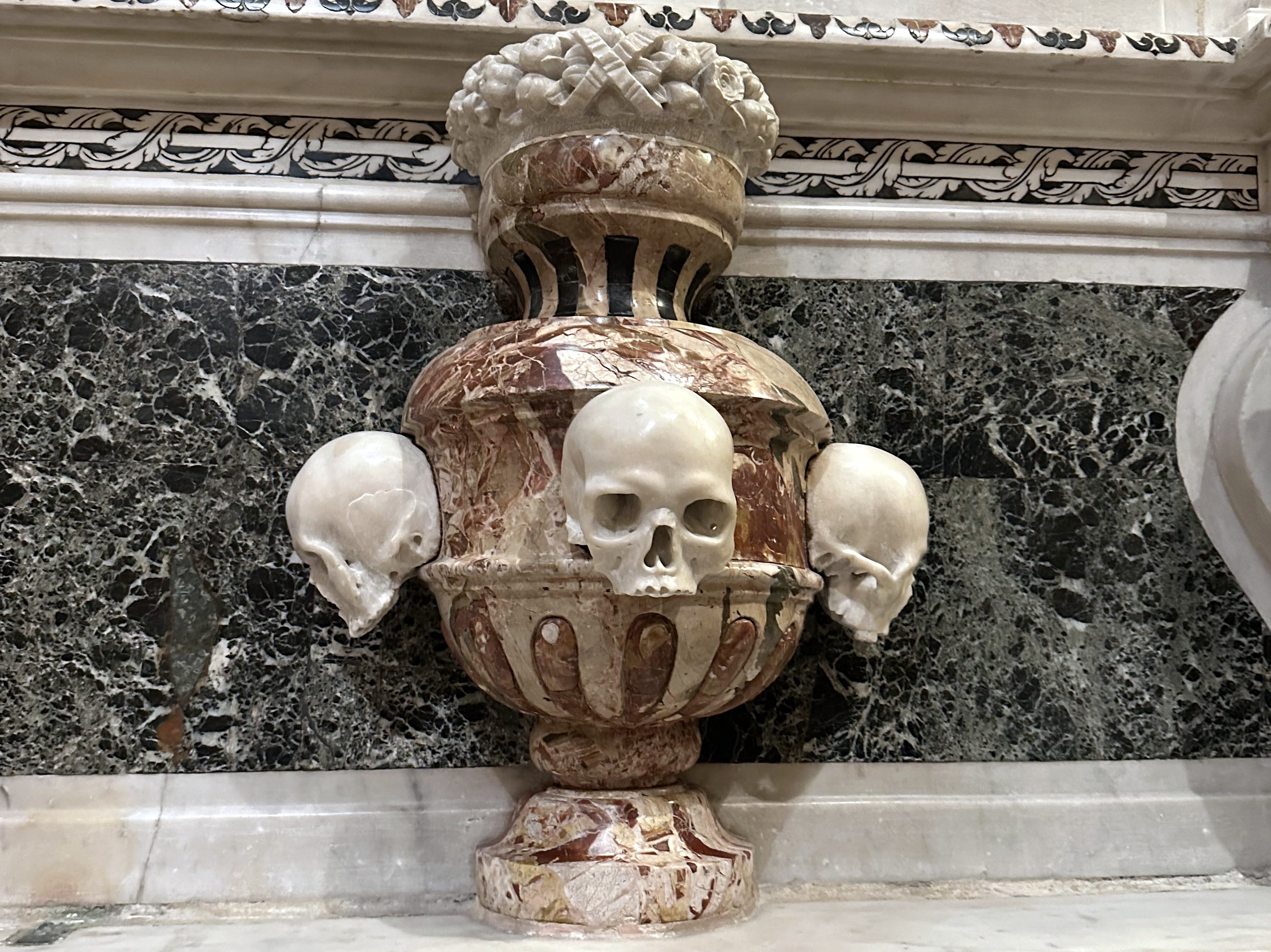
Most of which included macabre elements, to our delight:

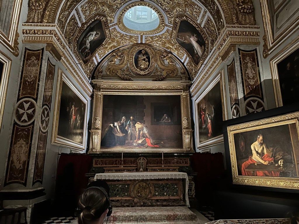
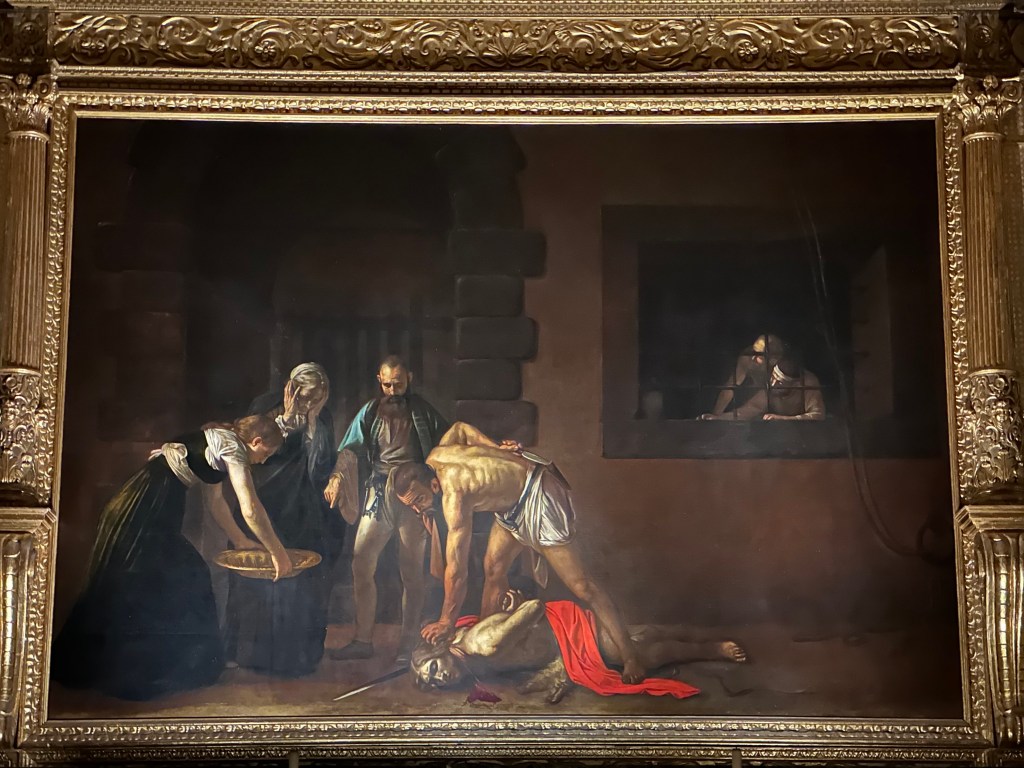
One of the greatest treasures of St. John’s Co-Cathedral and one of the masterpieces of Western art is Caravaggio’s The Beheading of Saint John the Baptist (1608). It’s the cathedral’s most famous work and the reason many art lovers travel to Malta.

It’s significant for the following reasons:

  • It is Caravaggio’s largest painting. Measuring roughly 3.6 × 5.2 meters (12 × 17 feet), it is the largest canvas he ever painted and one of the few works created specifically as an altarpiece.
  • It is Caravaggio’s only signed painting. If you look near the pool of blood beneath John the Baptist’s neck, you’ll find the artist’s signature: “f. Michelangelo” (“Fra Michelangelo”), written in the blood. He signed it this way because he had just been admitted as a Knight of the Order of St. John—a unique moment in his tumultuous life.

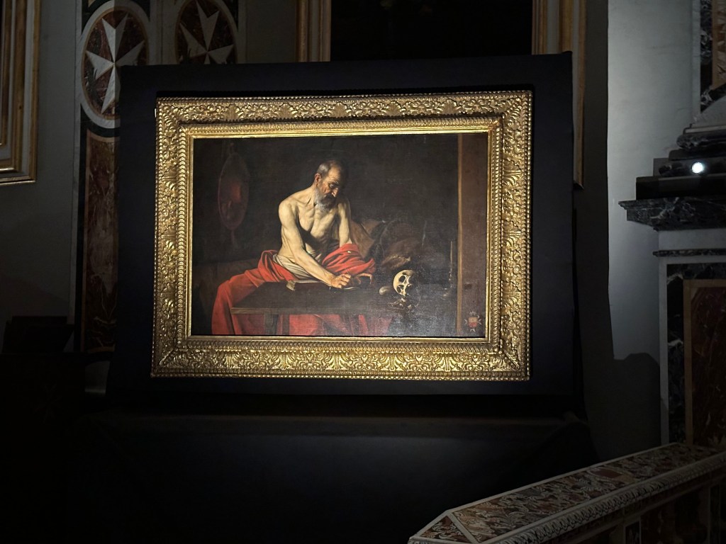
Saint Jerome Writing, also by Caravaggio, painted around 1607–1608 during his stay in Malta, depicting Saint Jerome translating the Bible into Latin, with the skull symbolizing the fleeting nature of life.

Check out the discrete Maltese cross Caravaggio included in the bottom right of the painting, paying homage to the patrons who funded it. . .

Next up: Mdina, Malta, and then, finally, some biking.

Categories: A Prolonged Foray to Europe, Malta | Tags: , , , , , , , , , , | Leave a comment

A Prolonged Foray to Europe: Mdina, Malta

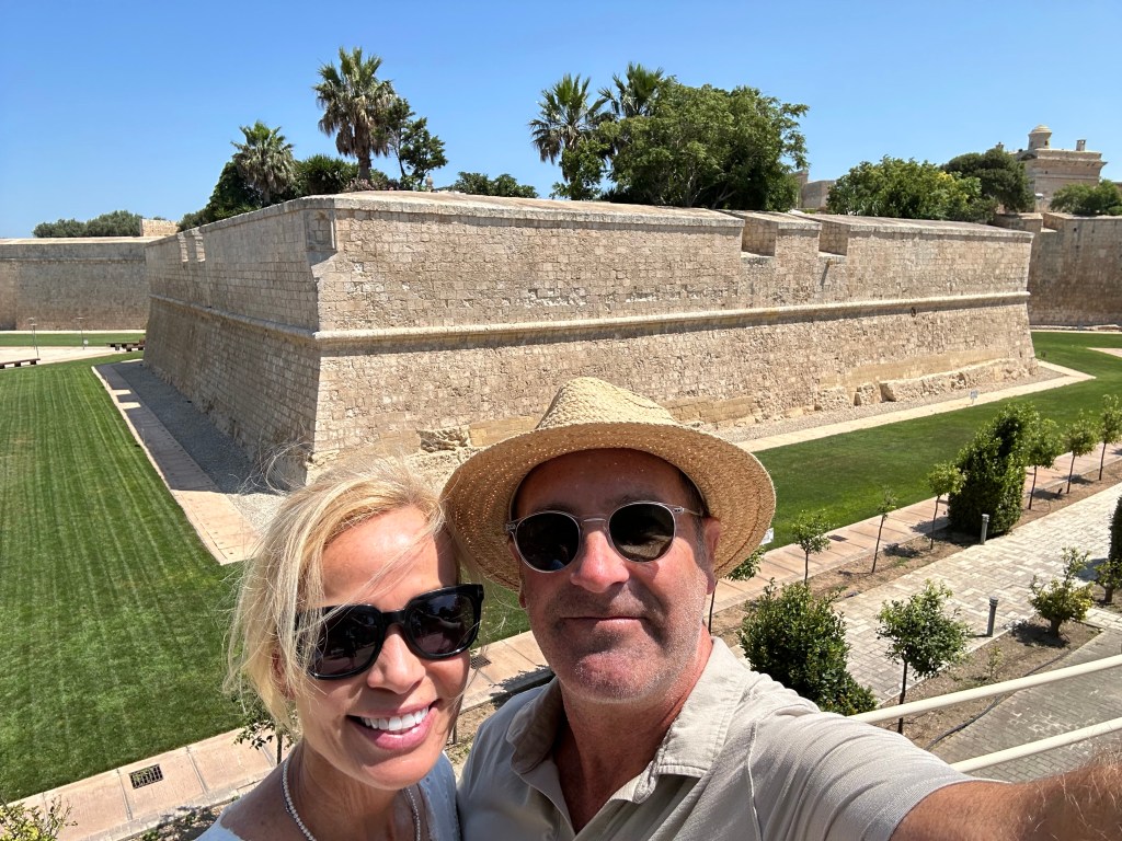
While staying in the Valletta area, we grabbed an Uber for a field trip to Mdina, the Maltese capital’s forerunner until the 16th century. After the Knights of St. John made the new fortified town of Valletta their capital after the Great Siege of 1565, Mdina faded in significance and slid into backwater status significantly enough to be nicknamed the “Silent City.” Based on our stroll throughout town, this is pretty apt, although Silent Sunburnt City may be even more on brand.

Founded as a fortified settlement by the Phoenicians around the 8th century BC, the town later became the Roman city of Melite. Under Arab rule beginning in the 9th century, it was reduced and fortified into the compact medieval city that became known as Mdina. (The Arabs also separated the fortified city from the surrounding area—creating what became Mdina, literally the city, while the adjoining suburb became Rabat, meaning suburb or quarter in Arabic. We’d visit both during our little field trip.)

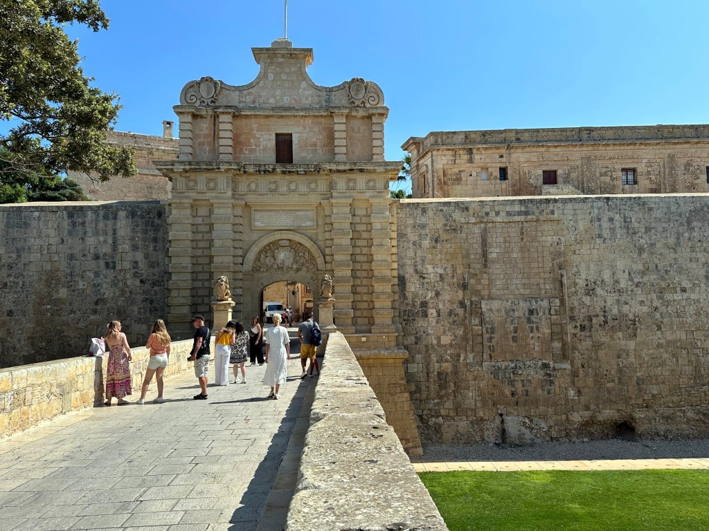
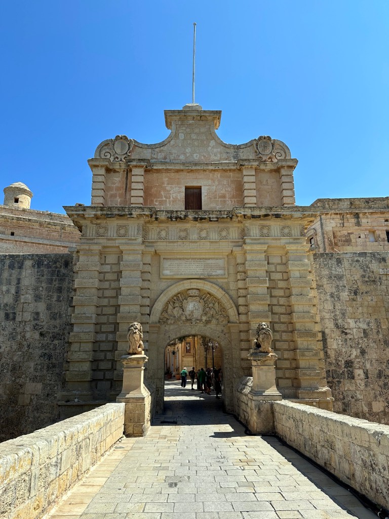
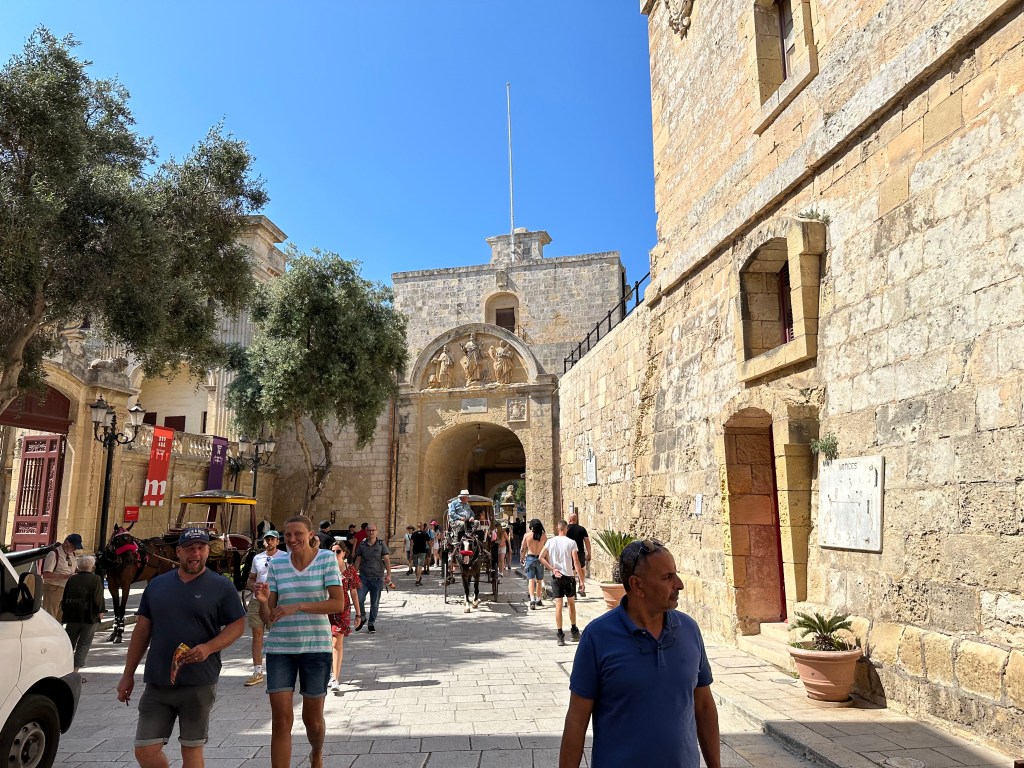
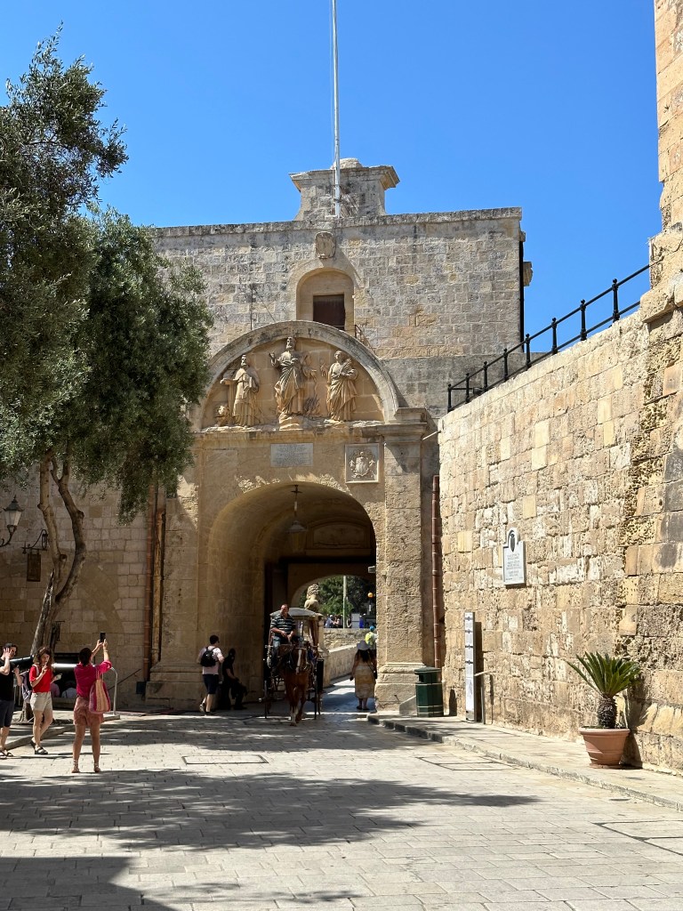
Mdina’s Baroque Main Gate, dating from 1724. Built during the rule of the Hospitallers, it replaced the medieval entrance that was destroyed during the 1693 Sicily earthquake nearby (which gave rise to the Baroque Towns we visited just prior, in Sicily).

The gate is flanked by two lions, which are associated with Antonio Manoel de Vilhena, the Grand Master of the Order of St. John in Malta during the late 18th century, as well as Vilhena’s coat of arms over the gate proper.

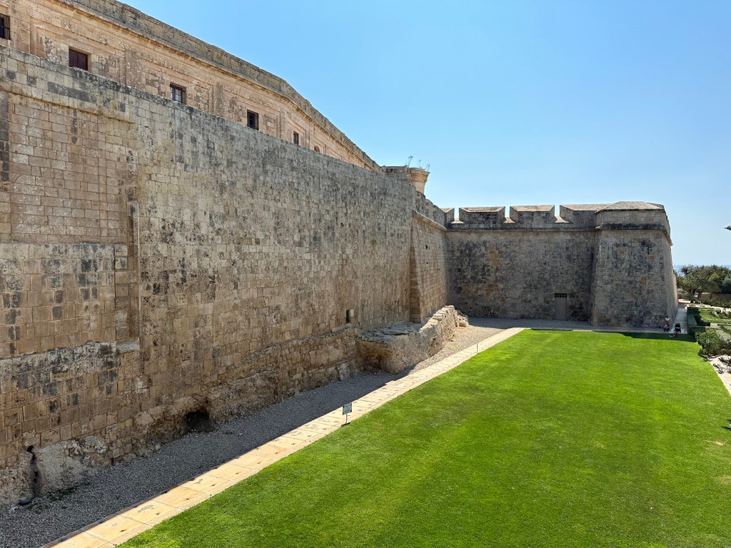
Extant fortifications of the city on either side.

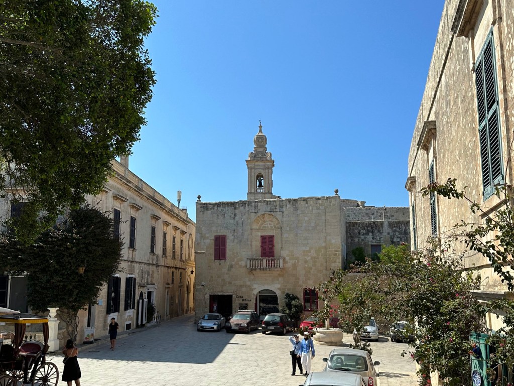
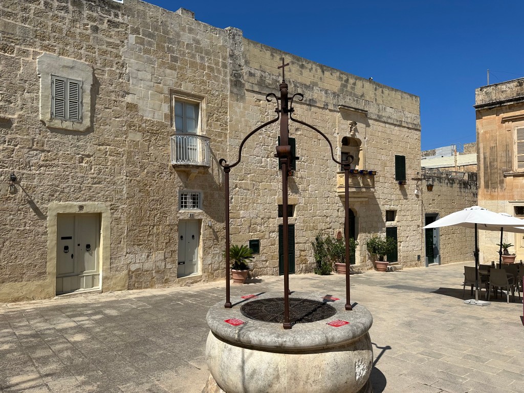
Inside Mdina proper, on the other side of the Main Gate:

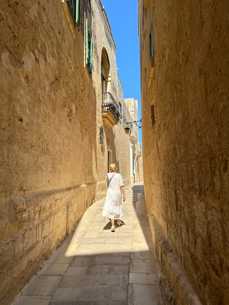
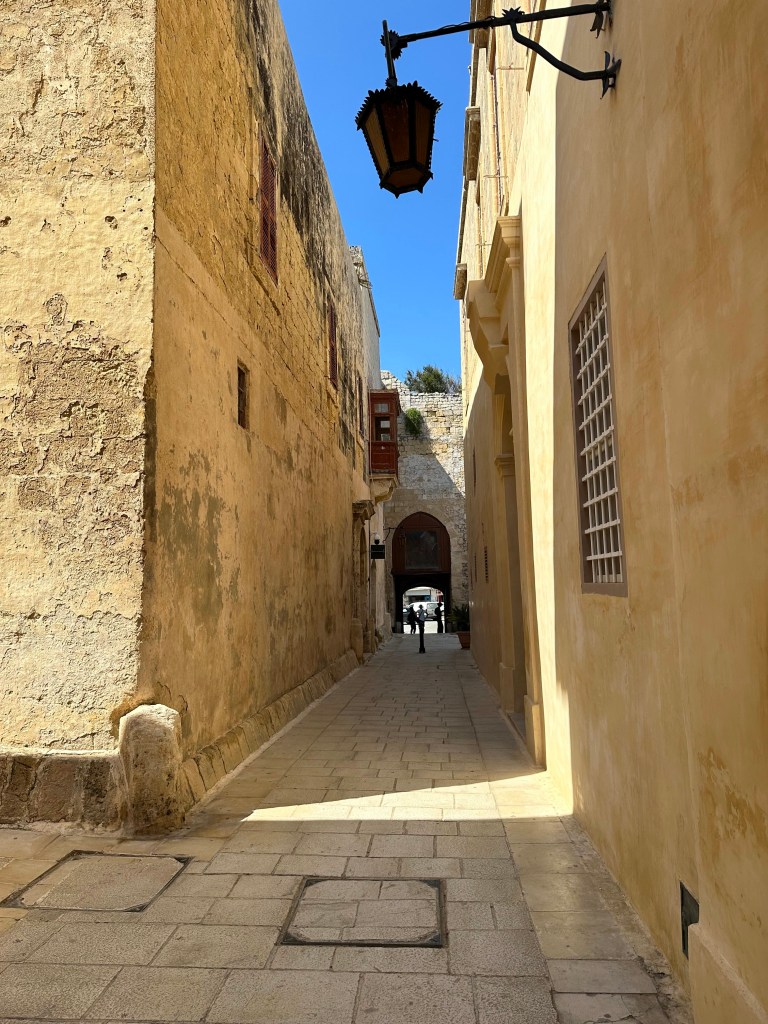
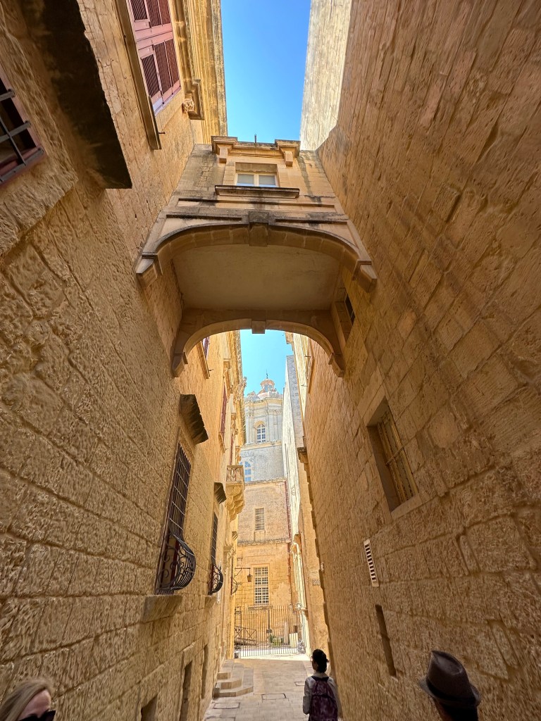
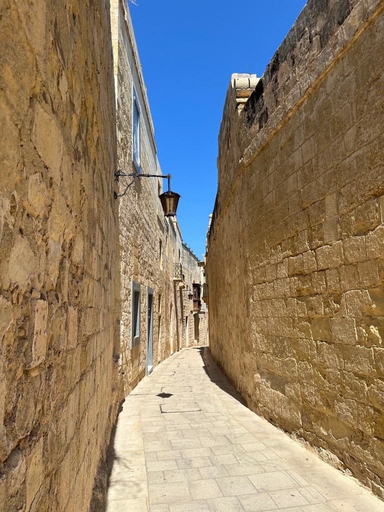
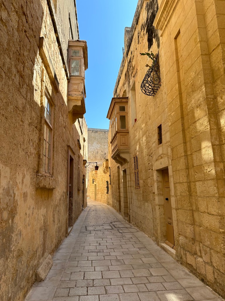
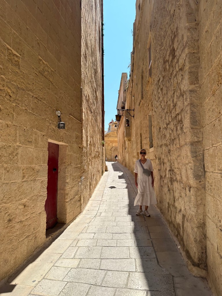
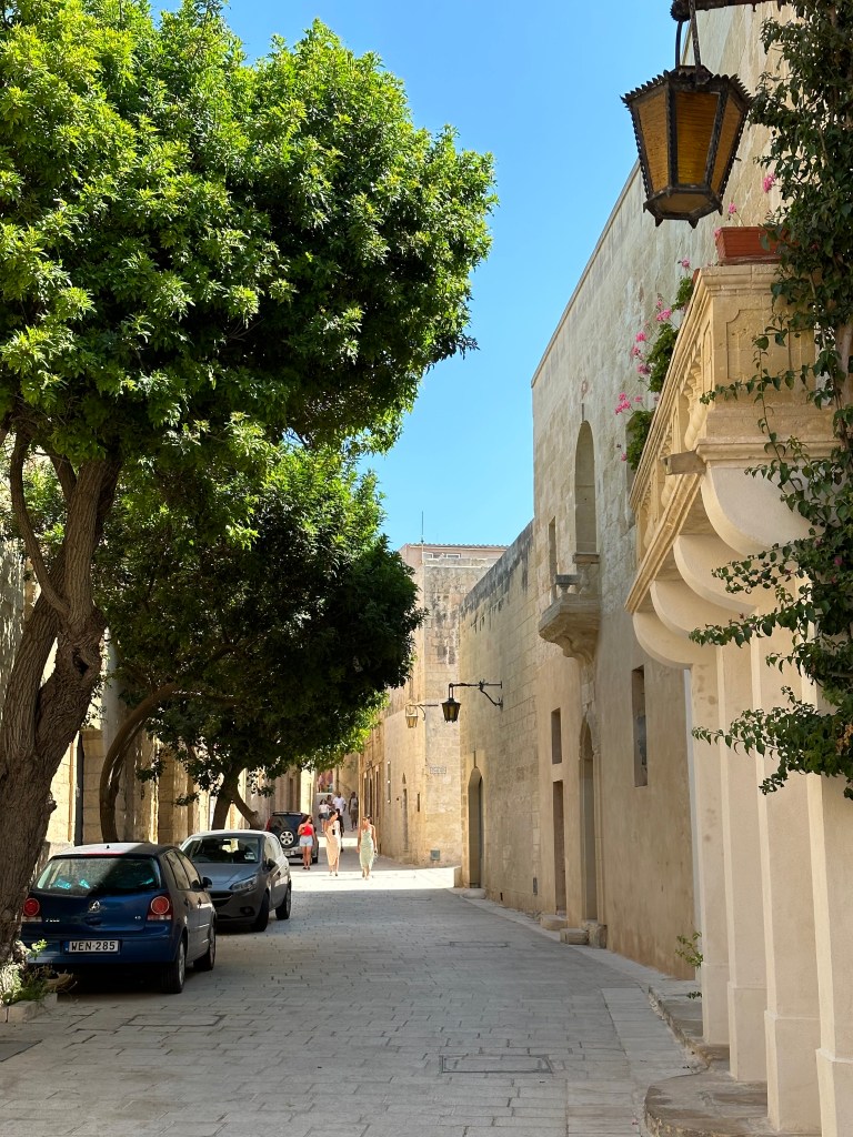
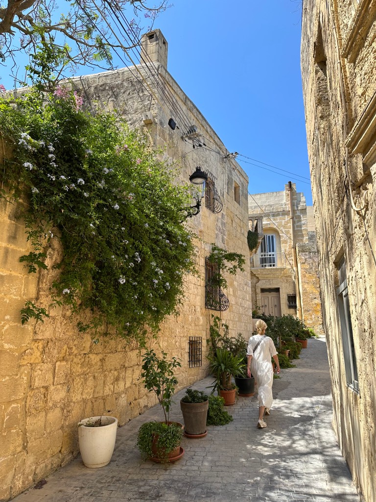
And this is what the entire town is like: sun-baked, narrow alleyways flanked by golden limestone:

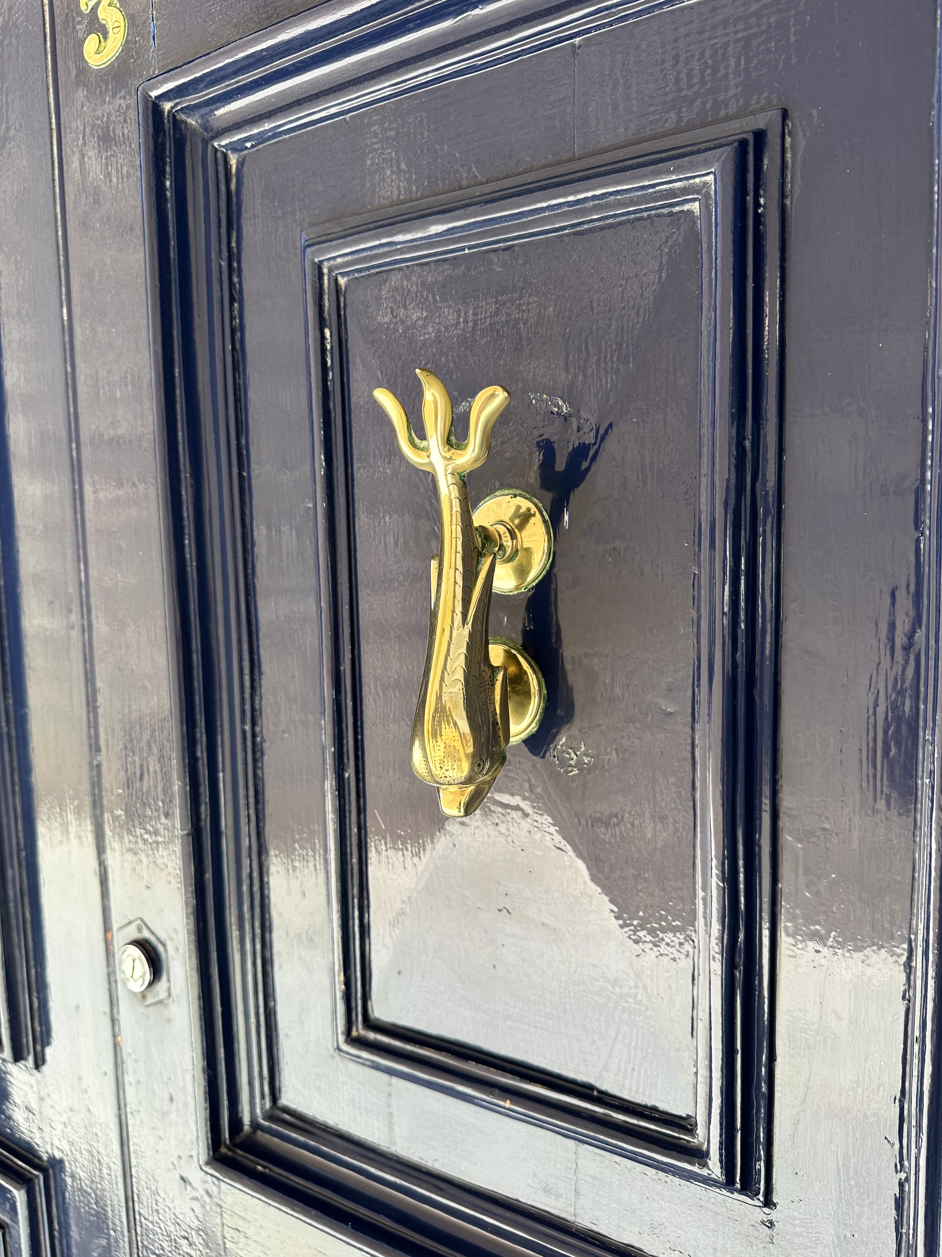
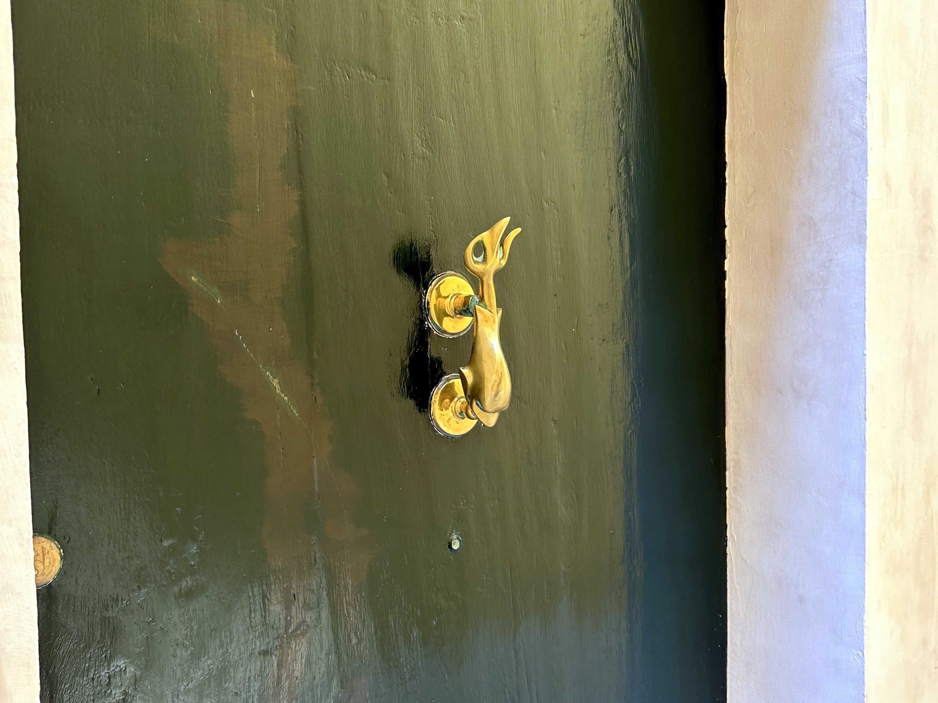
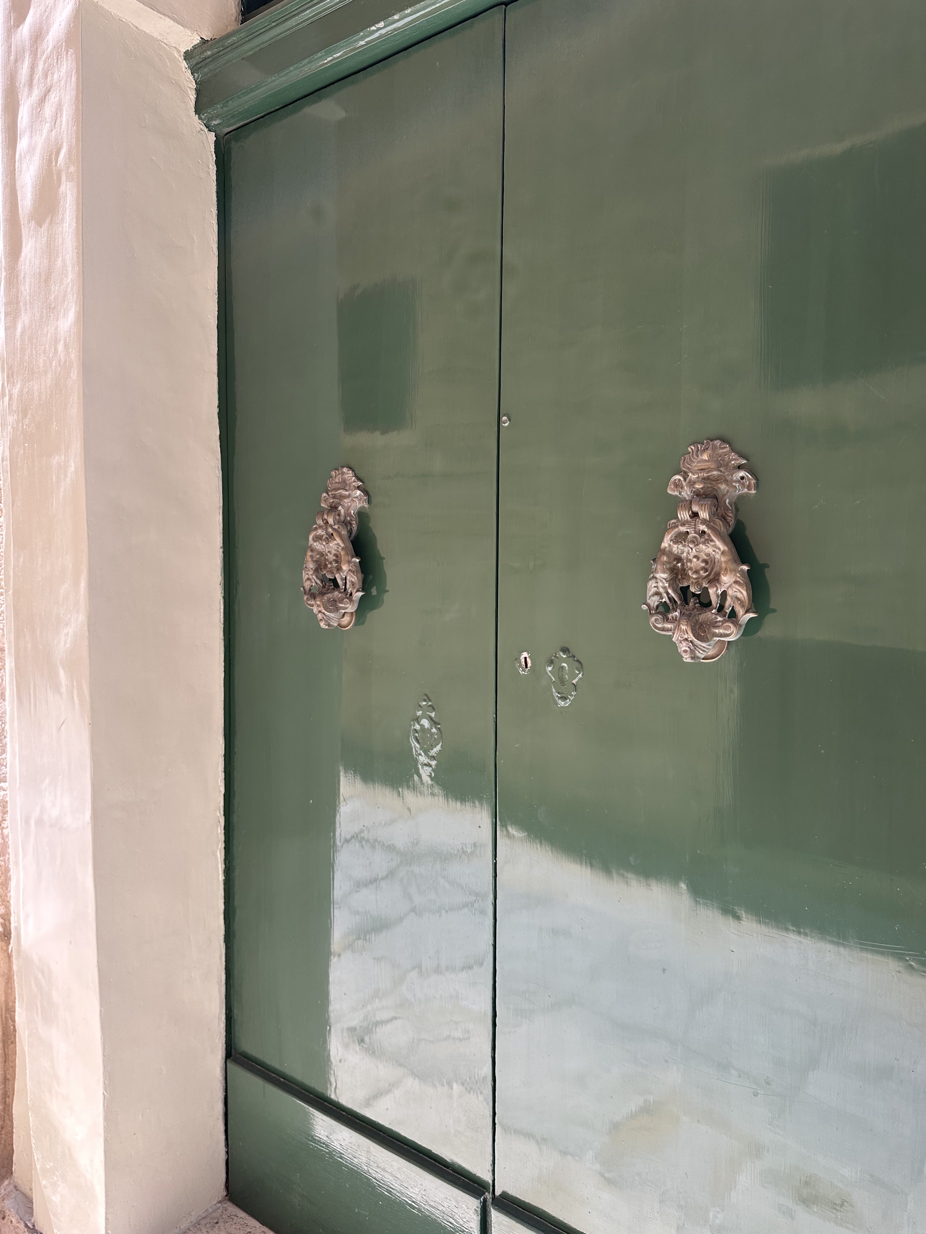
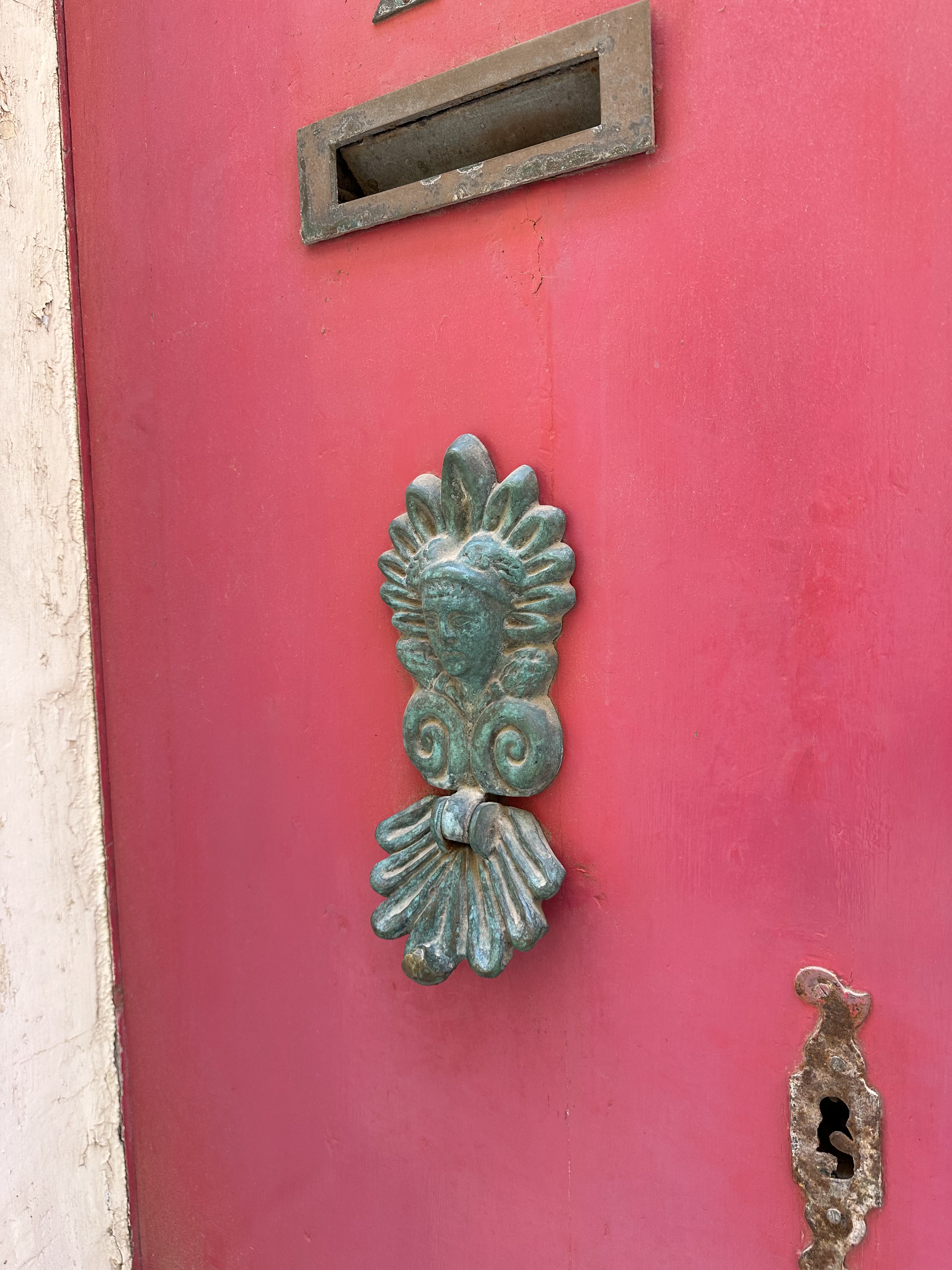
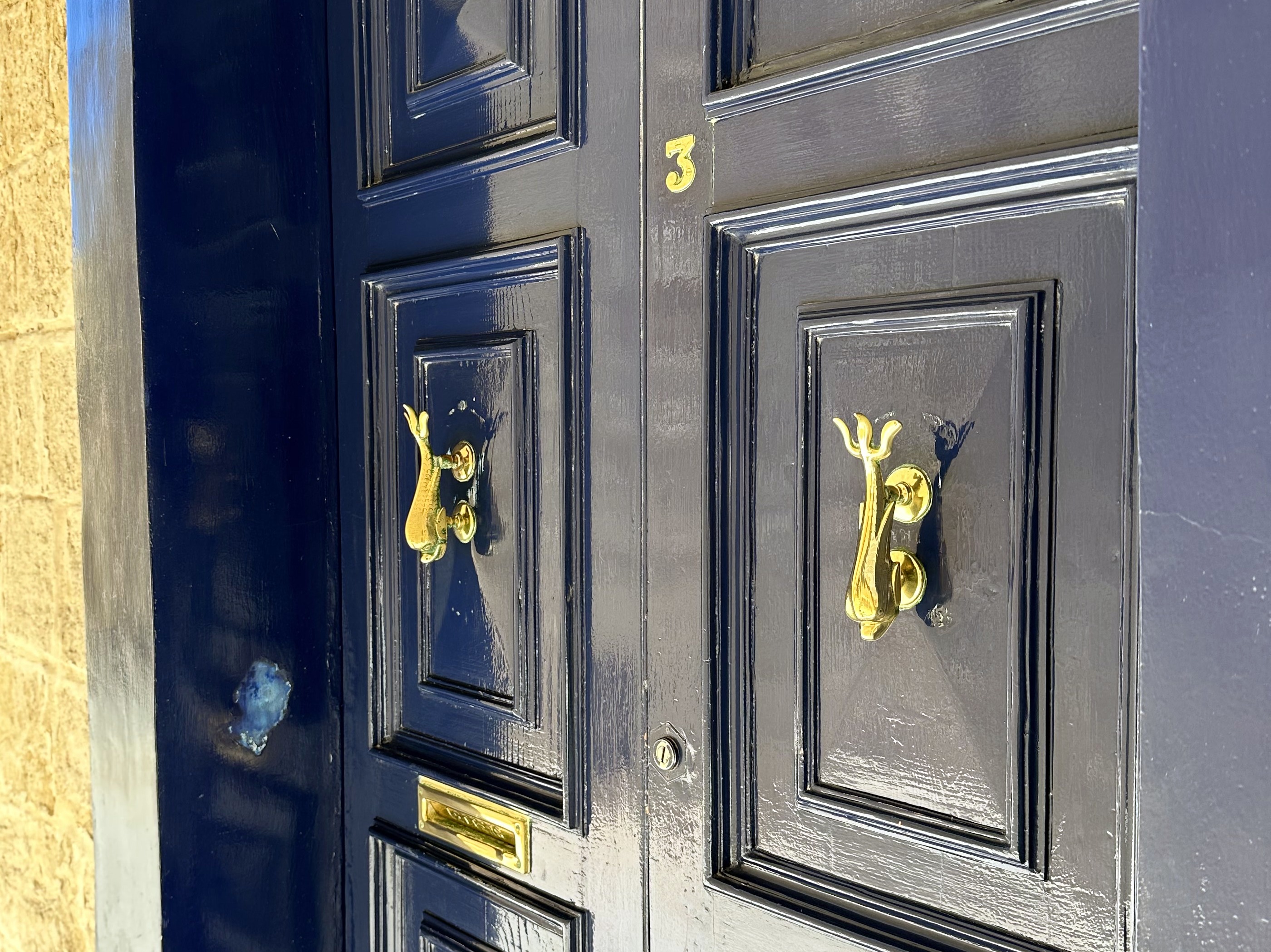
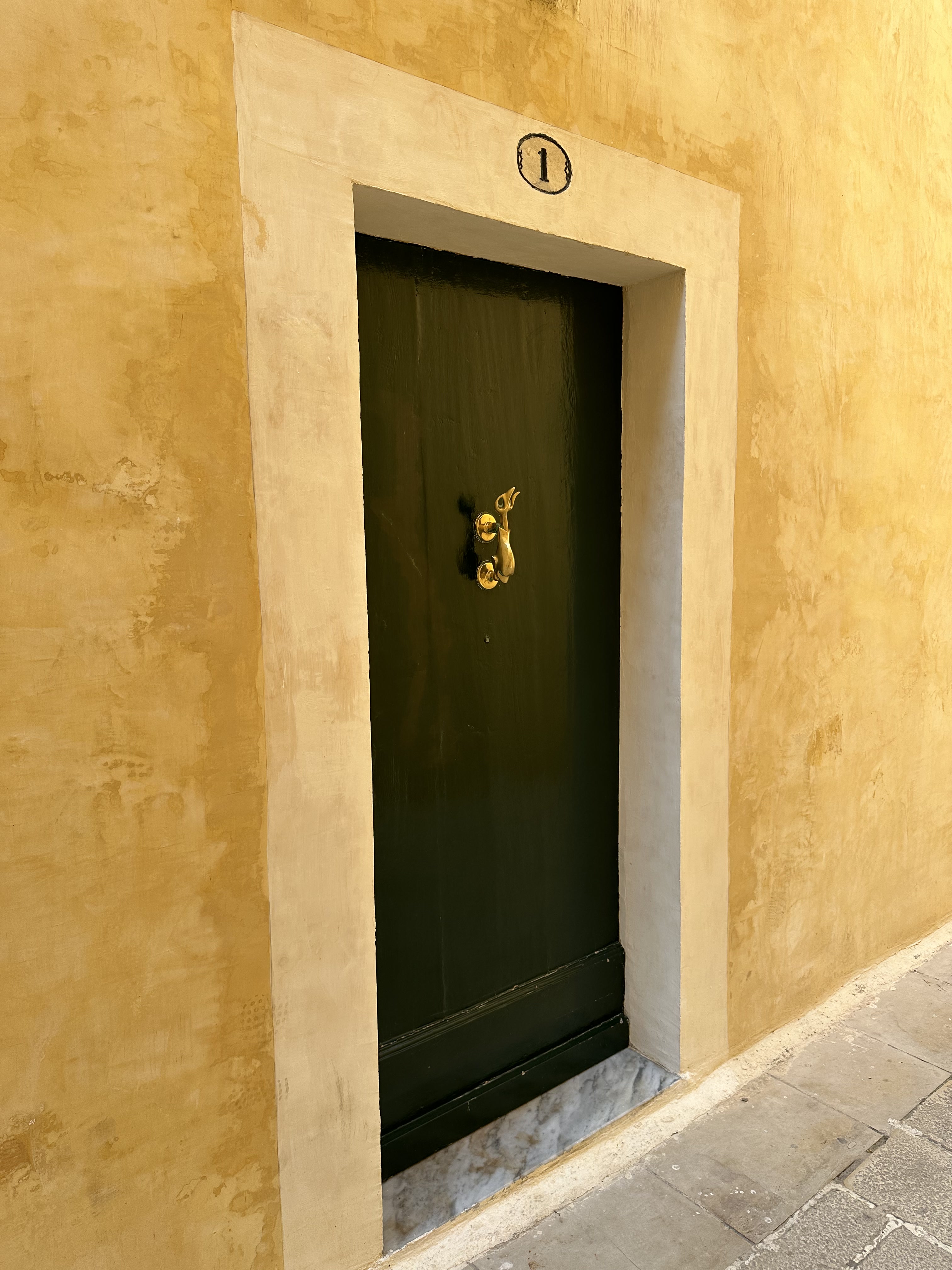
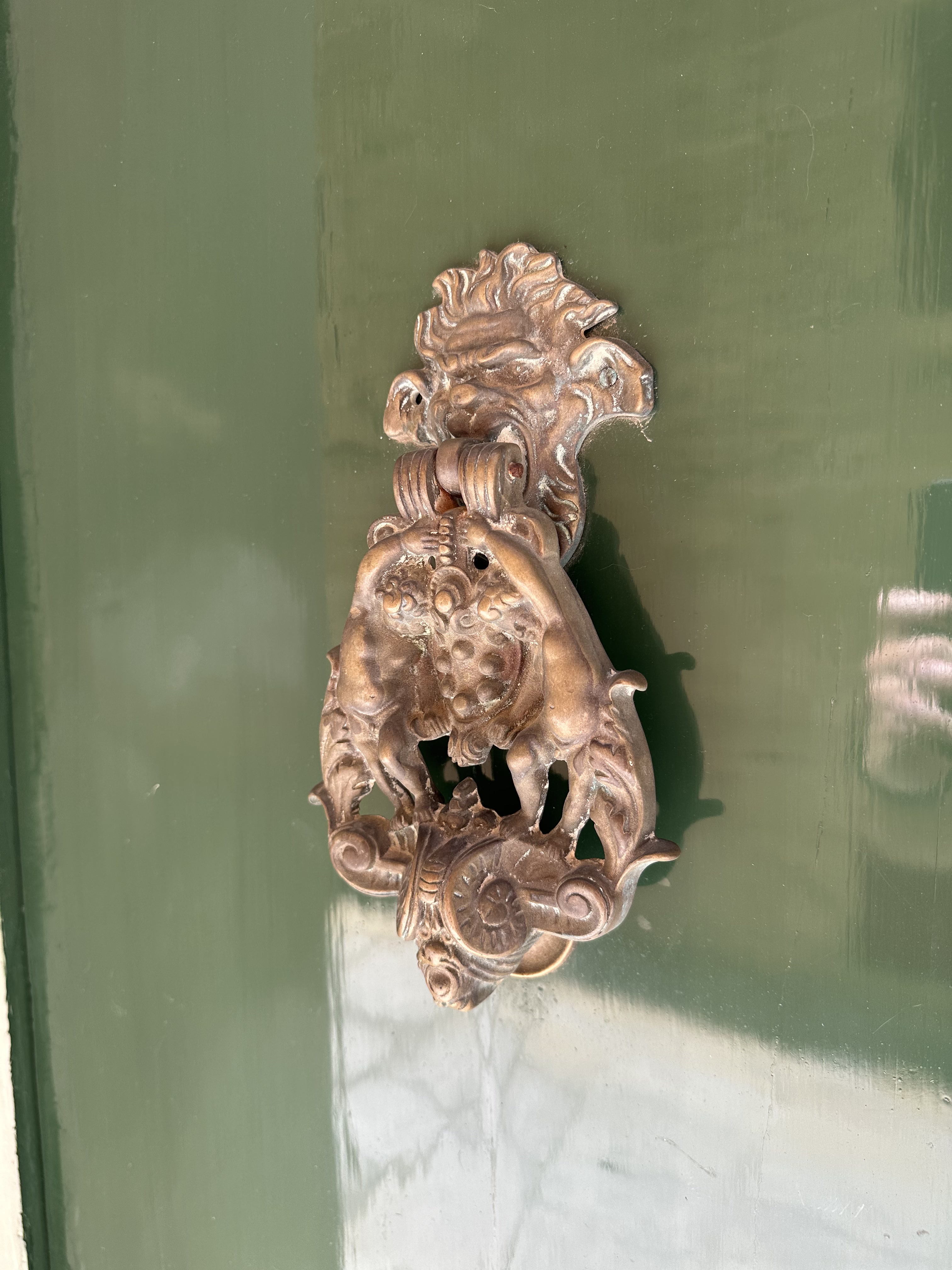
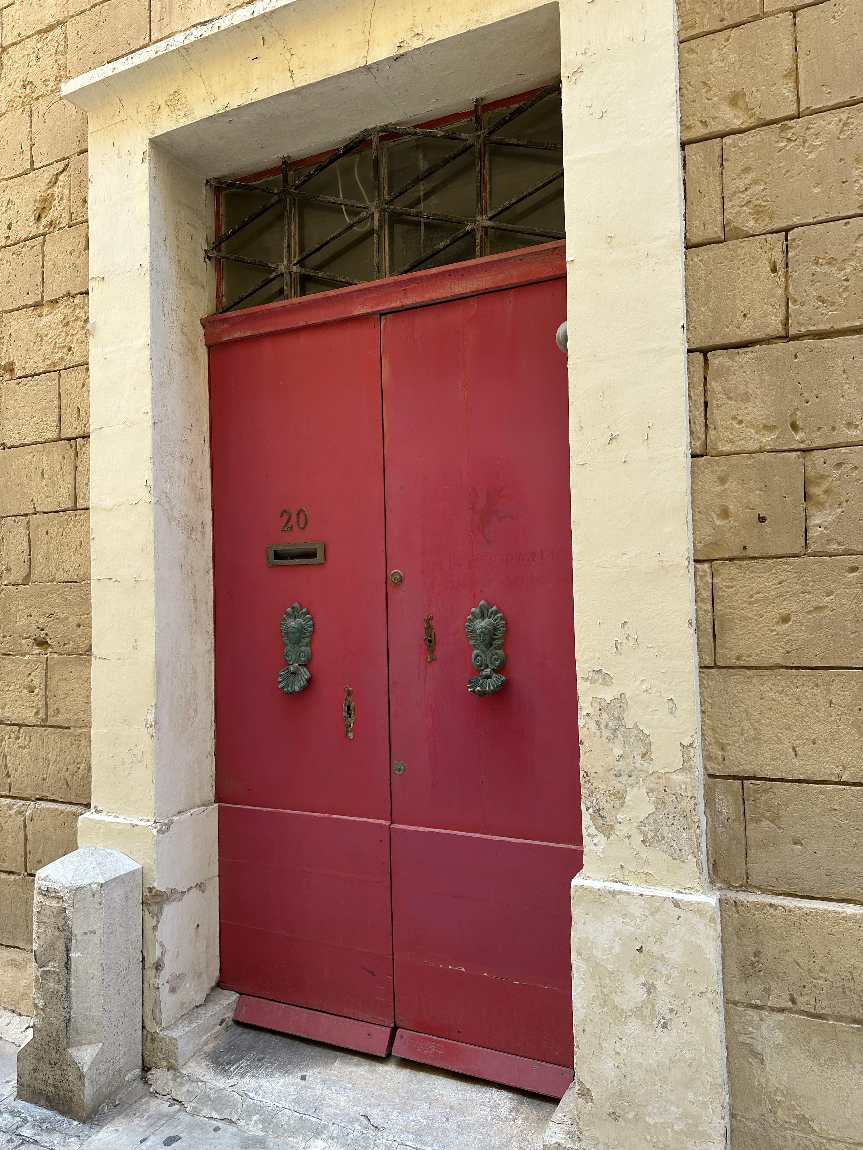
Punctuated occasionally by colorful doors and knockers:

Heading back through the Main Gate, and down the street. . .

to Rabat, the ancient suburbs of Mdina. Replete with Valletta-style gallarija.

And down the street, much to the excitement of one and definitely not the other WolfeStreetTravler, to. . .

More catacombs! This will be our fourth set on this trip alone; first in Matera, then, the absolute grossest in Palermo, and TWO in Syracusa.
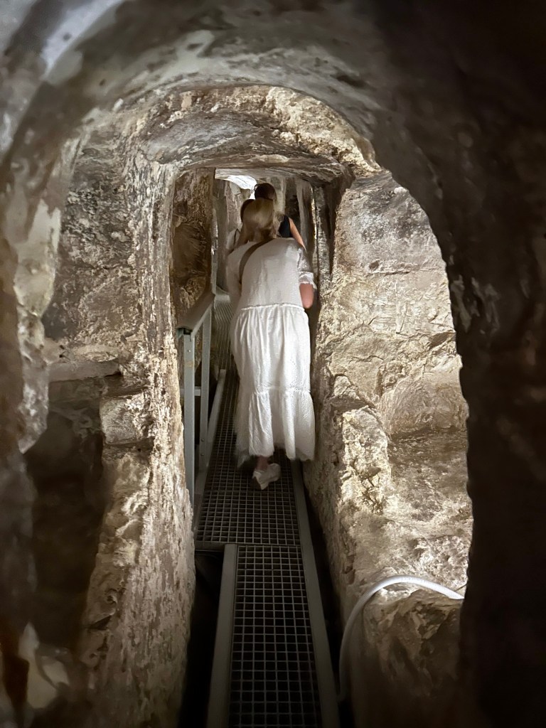
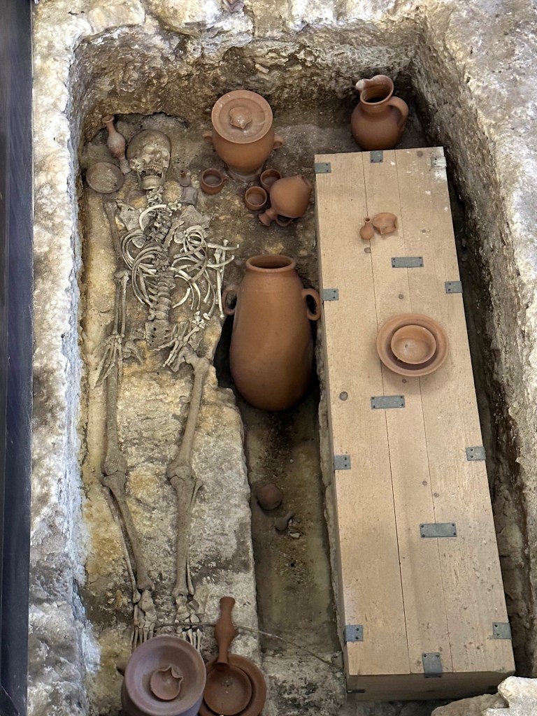
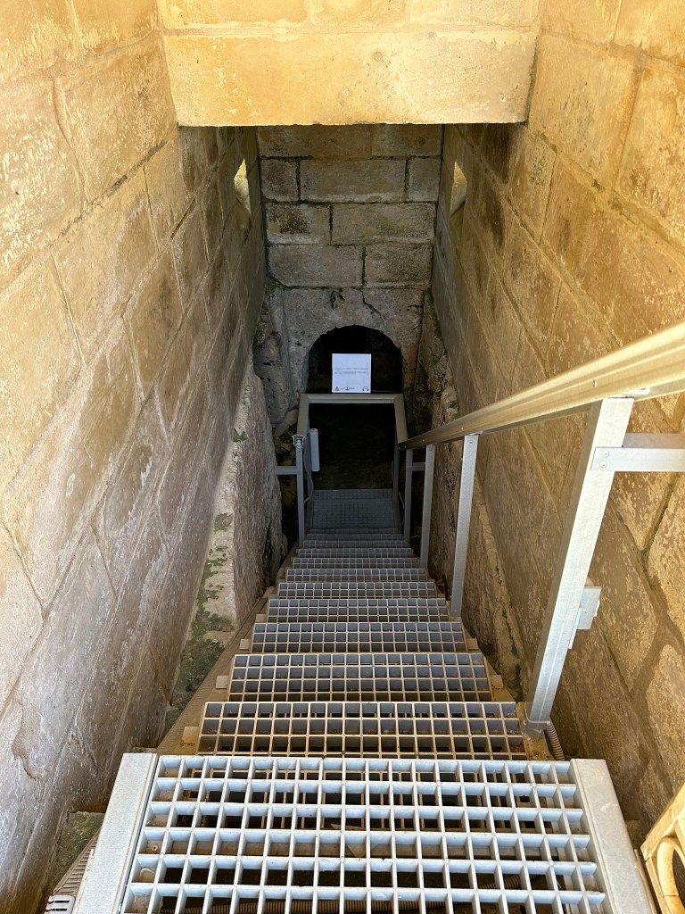
St. Paul’s Catacombs, located in Rabat just outside Mdina, form one of Malta’s most important ancient burial complexes, dating primarily from the Phoenician, Roman and Byzantine periods, but they continued to be actively used into the 7th or 8th century AD.

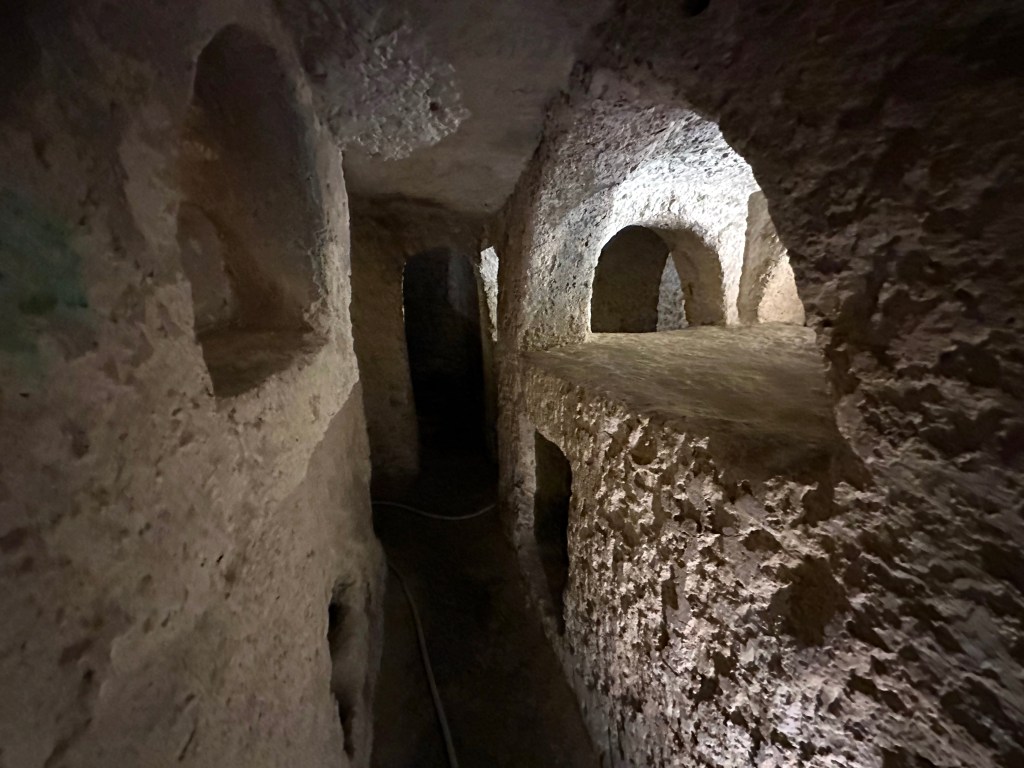
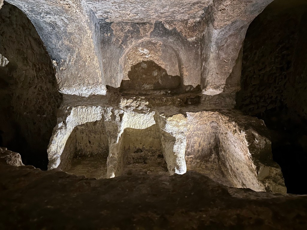
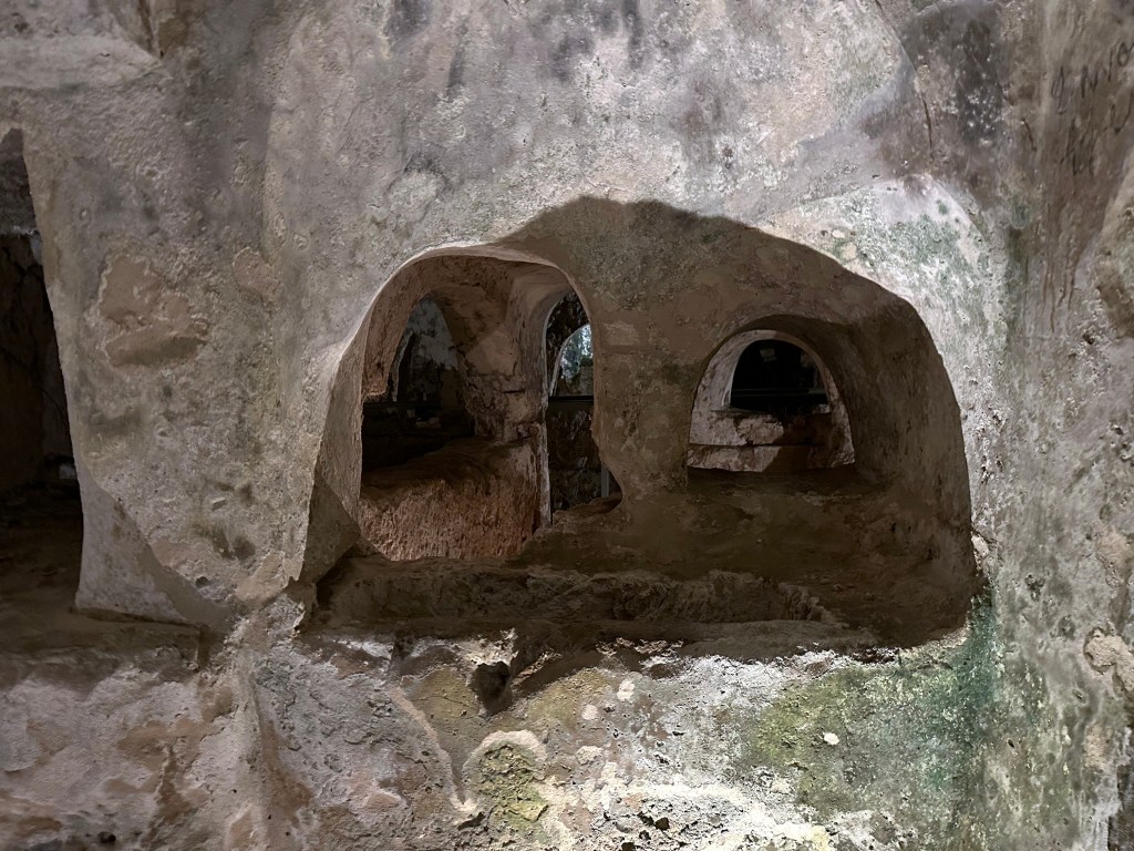
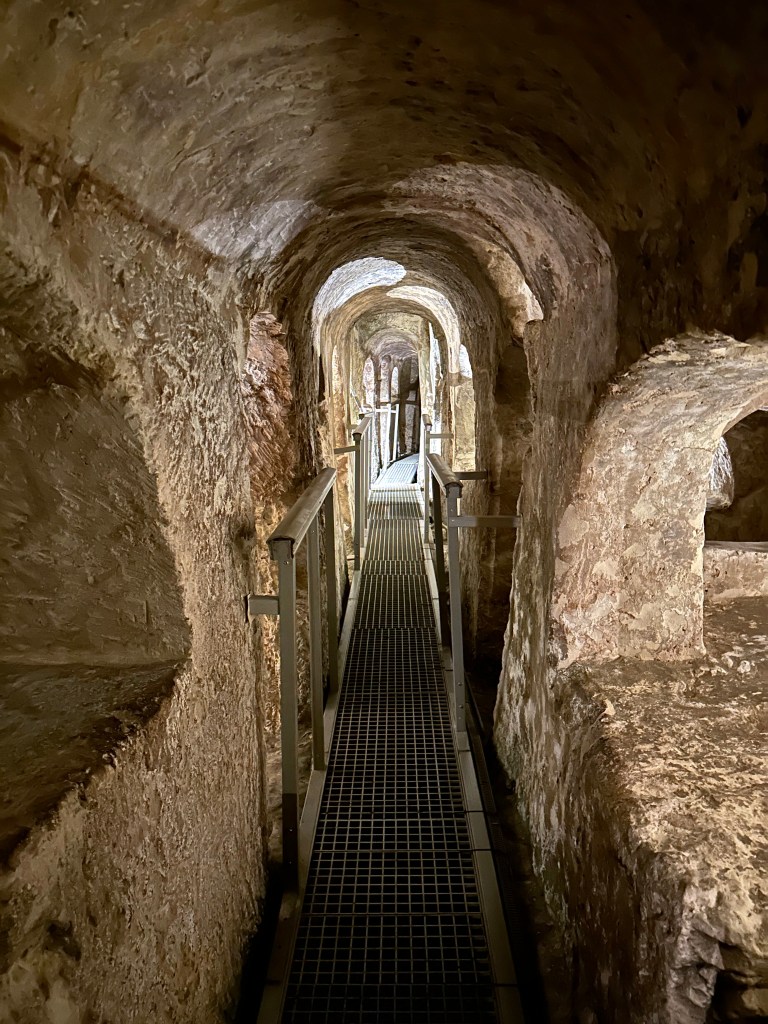
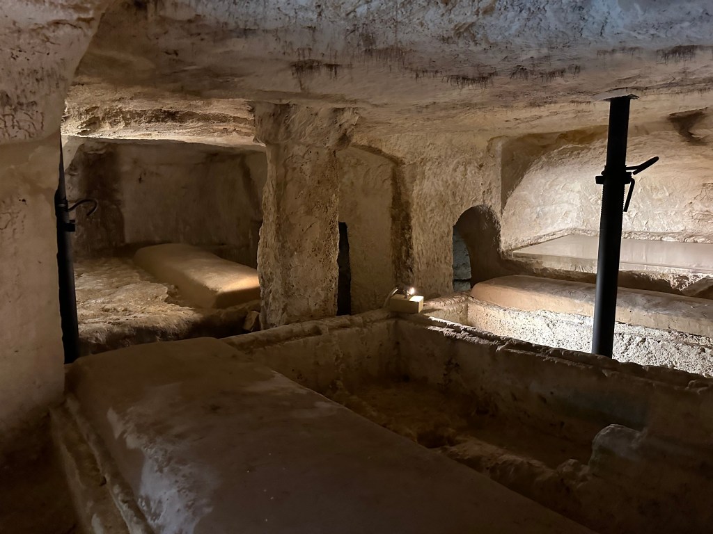
Carved into the island’s soft limestone, the underground complex contains an intricate network of burial chambers, corridors and rock-cut tombs that once formed part of a much larger cemetery outside of what was the Phoenician (and later Roman) settlement of Melite that predates Mdina and Rabat.

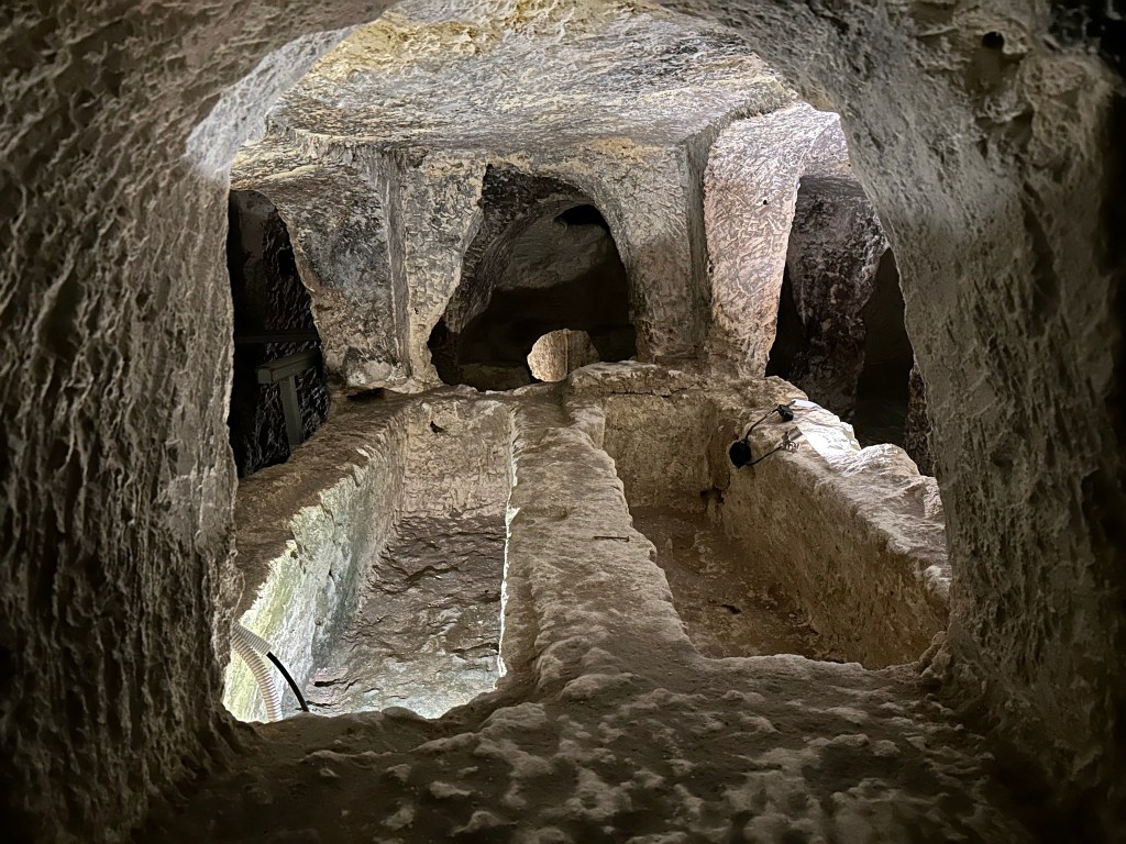
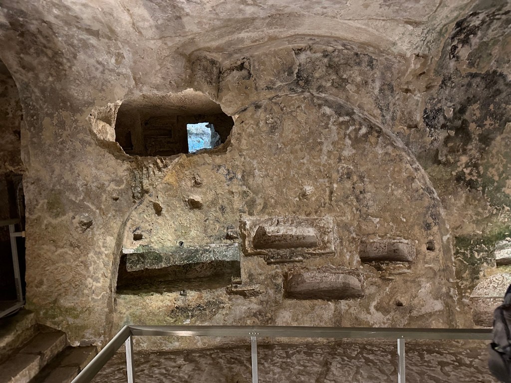
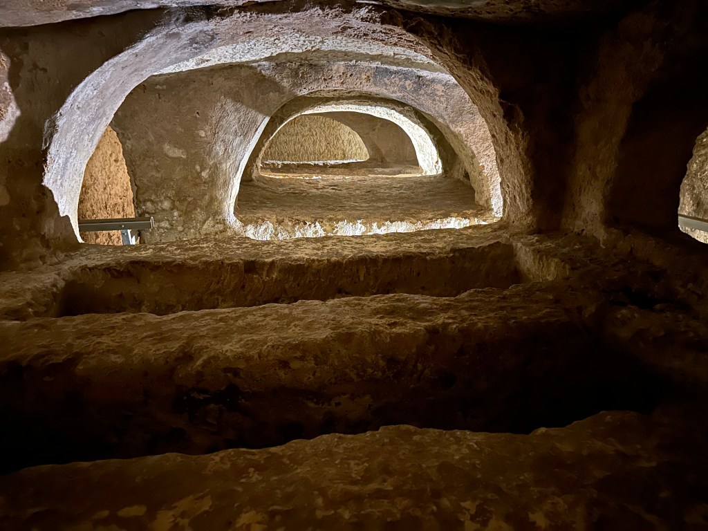
Hundreds of tombs across a complex of 24 interconnected catacombs are down here.

Most are now empty.

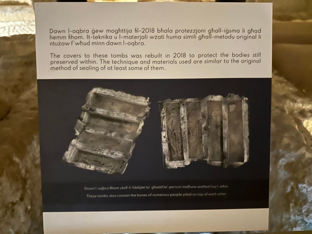
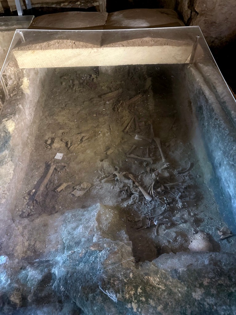
Some most certainly are not.

Every space was optimize to fit more bodies in.

Although tradition associates the catacombs with St. Paul, who was said to have been shipwrecked on Malta in AD 60, there is no archaeological evidence that he ever visited or was buried here. What makes the site especially compelling is the coexistence of pagan, Jewish and Christian burial traditions, offering a remarkable glimpse into Malta’s religious and cultural transformation during late antiquity.

Heading back out.

What to do now that we’re back in the glorious sunshine of a Maltese afternoon?

More catacombs! This time St. Agatha’s, just down the road. (This pretty much put an end to the catacomb visits; one of the WolfeStreetTravelers definitely had enough of this nonsense during the current trip, although her indulgence up until now was pretty amazing.)
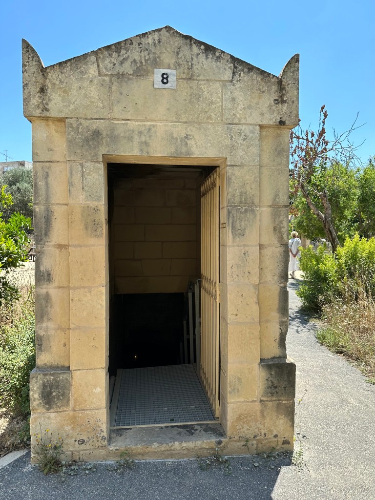
Unlike St. Paul’s, which has one central entrance, the catacomb complex at St. Agatha’s offered multiple, small individual entrances / access shafts.

Entering each catacomb was a little reminiscent of Maxwell Smart and the phone booth at the start of the show.

As with St. Paul’s, St. Agatha’s catacombs complex contain a mixture of Phoenician/Roman, Jewish and Christian burials.

Some of which had fresh tomb tops (not to be confused with mummy tube tops).

One of the occupants:

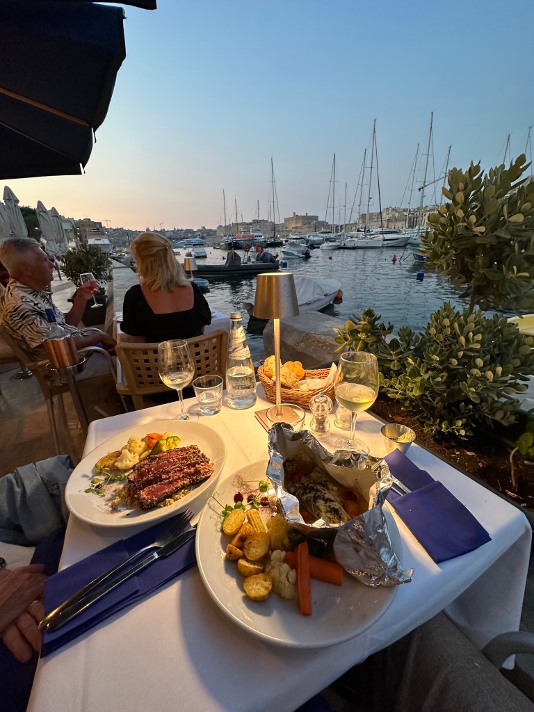
Back on Senglea and the Grand Harbor, our final dinner before heading to France for our penultimate leg. We bookended our stay on Malta by dining at the same restaurant at which we had our first, awesome lunch upon our arrival. Good call.

The experienced enhanced by these dudes rowing by in a plastic crate.

Next up: back to France!

Categories: A Prolonged Foray to Europe, Malta | Tags: , , , , , , , | 1 Comment

A Prolonged Foray to Europe: Chantilly, France

The penultimate leg of our prolonged foray to Europe: France! We’ve already hit mainland Italy, Sardinia, Sicily, and Malta (trip overview, including legs, is here).

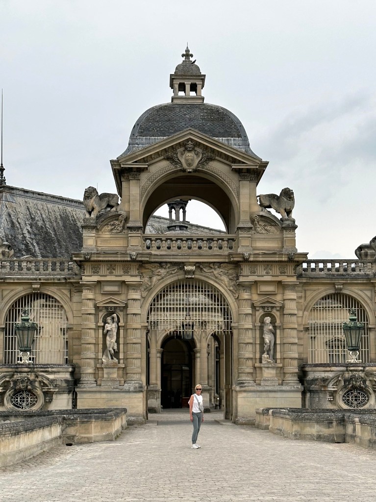
We flew from Malta to Paris to bike through Normandy with Thomas and Lisa, but left a day early to guard against any flight issues or other delays that might impact our connecting with them when they arrived from Atlanta the next morning. Rather than stay in Paris, which we had visited three times and which, frankly, we didn’t particularly like, we headed about 30 miles north to the Chateau de Chantilly and its little town.

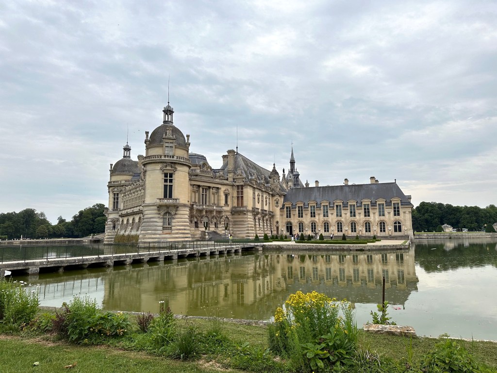
We checked in to our hotel a short walk away from the chateau, headed down the street for some lunch, then headed to the chateau itself.

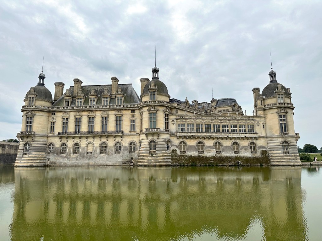
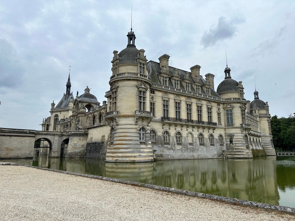
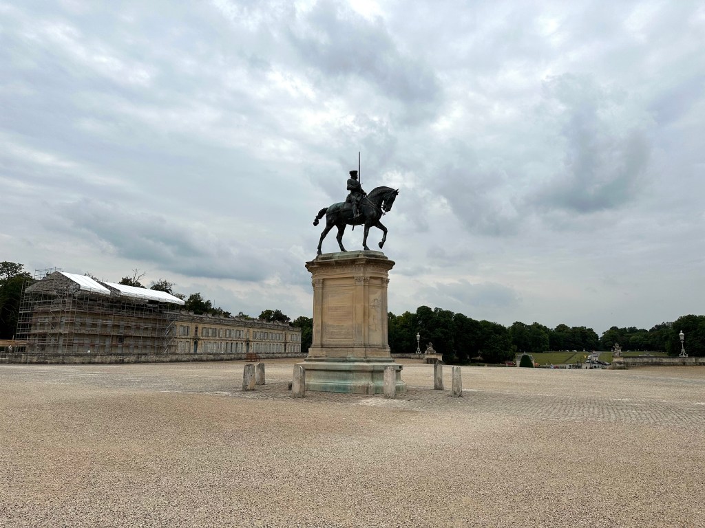
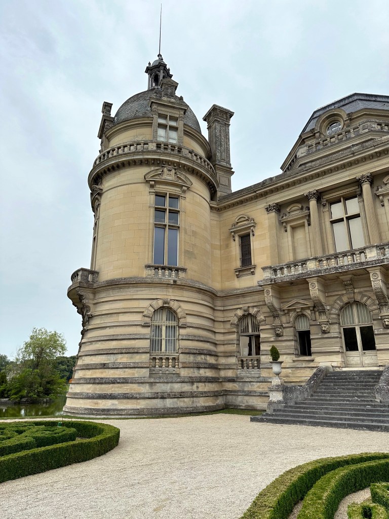
The chateau largely dates from the 19th century, when the Duke of Aumale rebuilt the structure on the foundations of a medieval fortress.

The chateau’s formal gardens were designed by the same landscape architect credited with designing the grounds of Versailles.

Pretty cool rival to the chateaus we visited during our bike trip through the Loire Valley back in 2015, but they offered a deeper history than Chantilly.

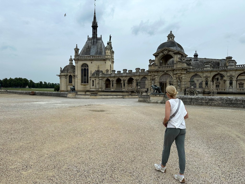
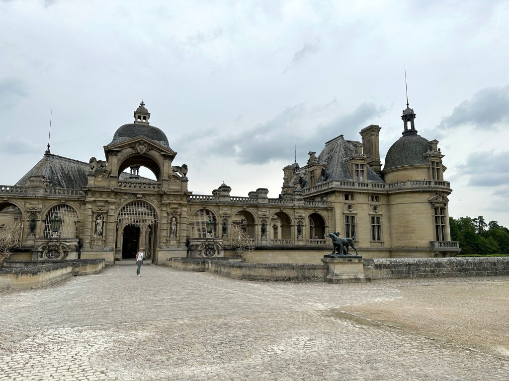
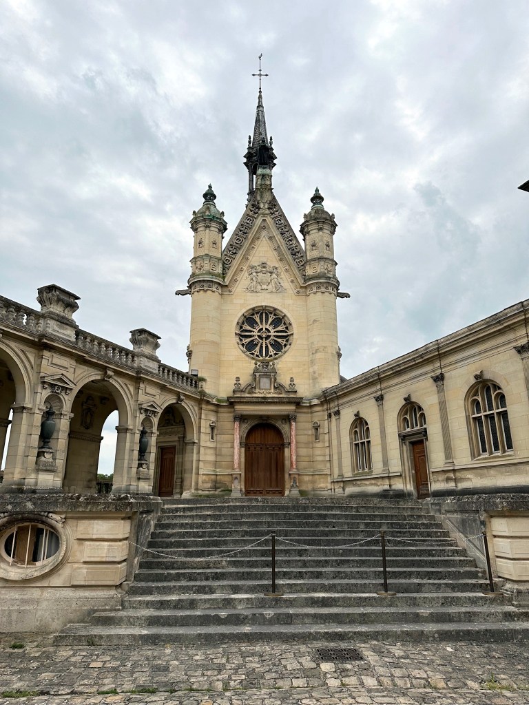
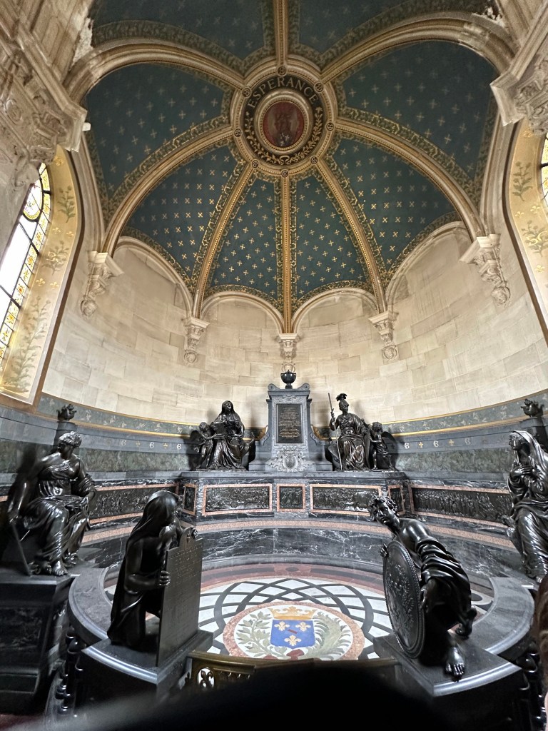
The chateau’s chapel, right inside the gate:

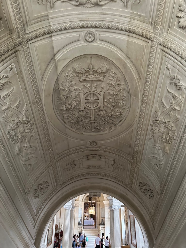
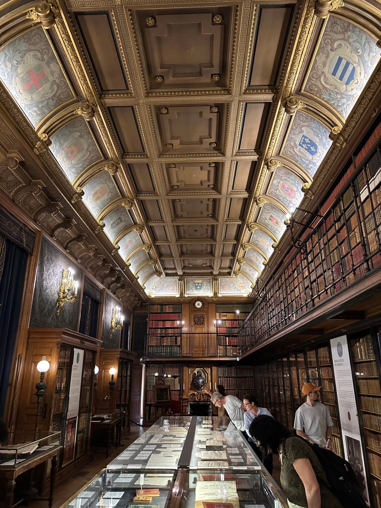
Barrel-vaulted, highly decorated ceiling above the grand staircase:

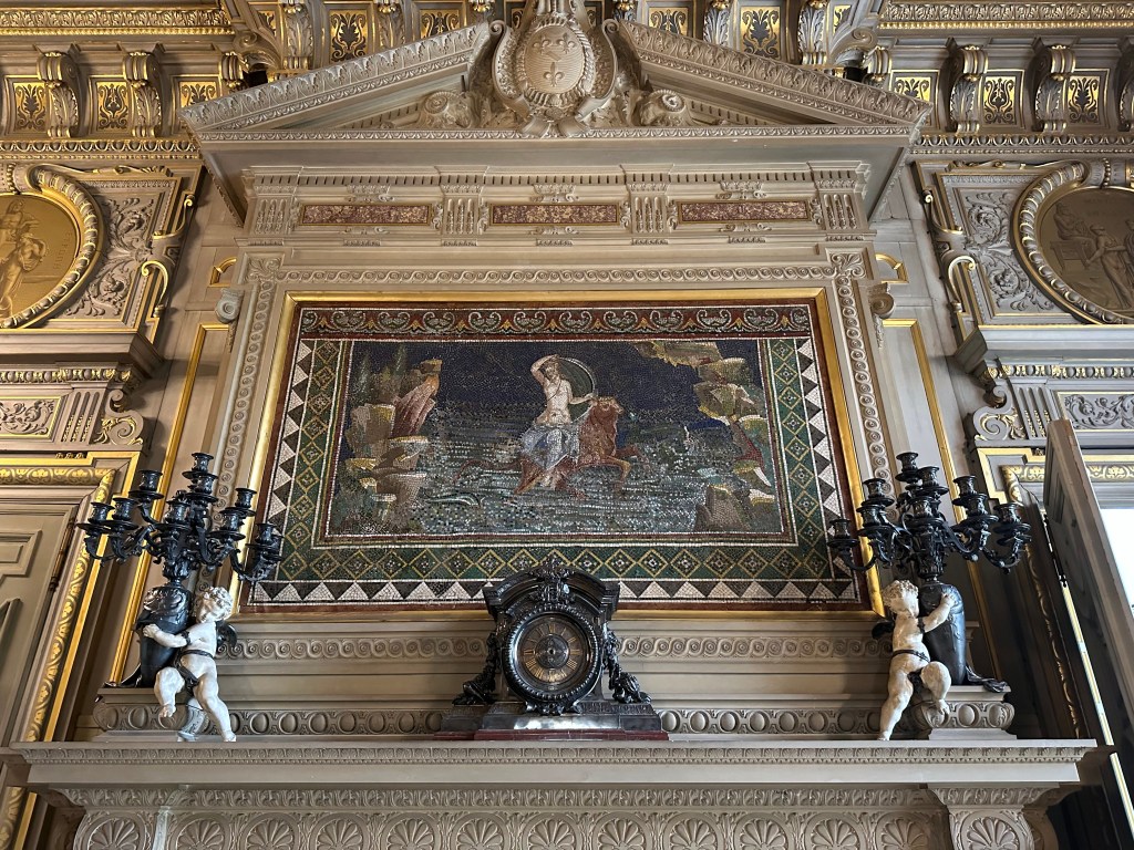
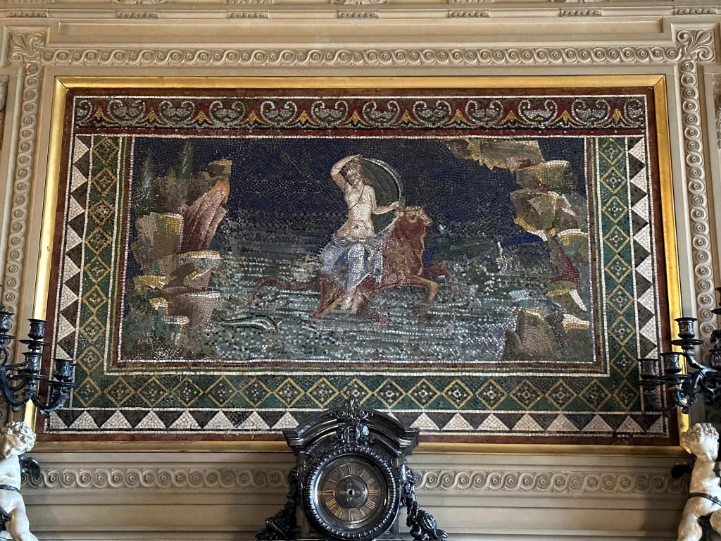
Mosaic above the fireplace in the Salle des Gardes depicting the Rape of Europa by Jupiter:

But it’s not just a 19th-century French mosaic, it’s a Roman mosaic dating to the 1st century AD recovered from around Herculaneum, where we wandered just a month or so ago on this trip. Freakin’ crazy to have this just mounted here.

Libery:

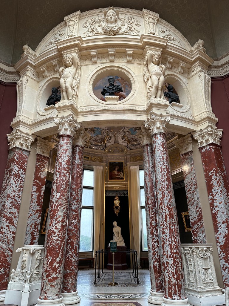
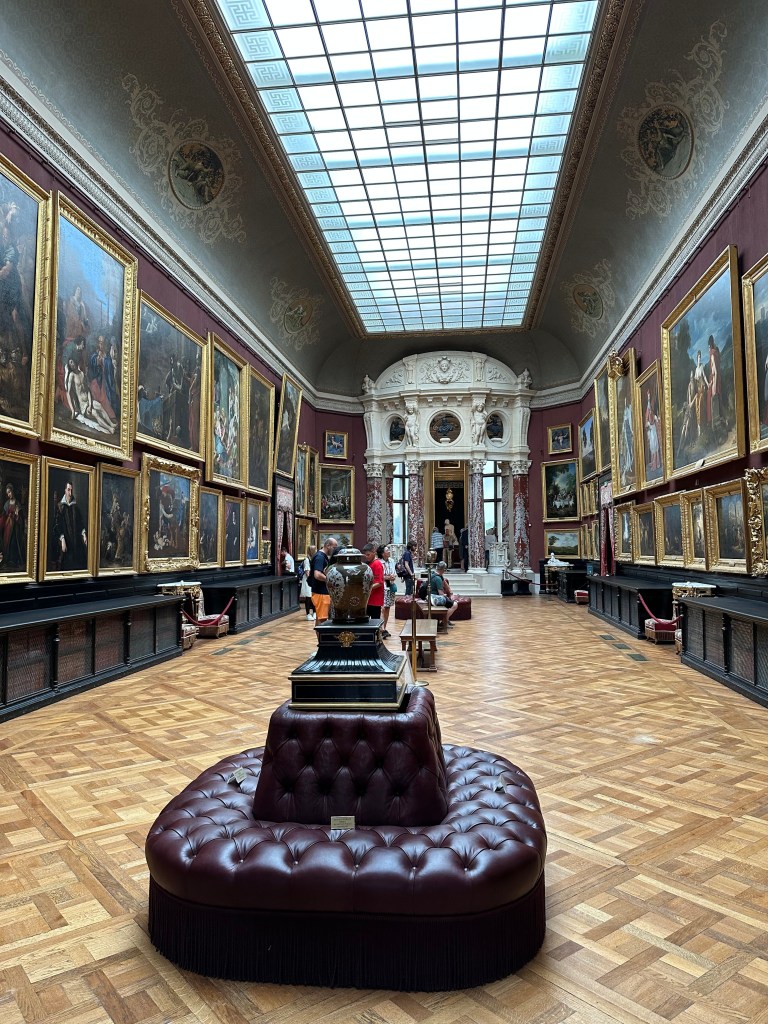
The Rotunda of the Musée Condé at Château de Chantilly, created by the Duke of Aumale to display his art collection, with Henri Chapu’s marble Joan of Arc at Domrémy beneath Paul Baudry’s ceiling painting of the Abduction of Psyche

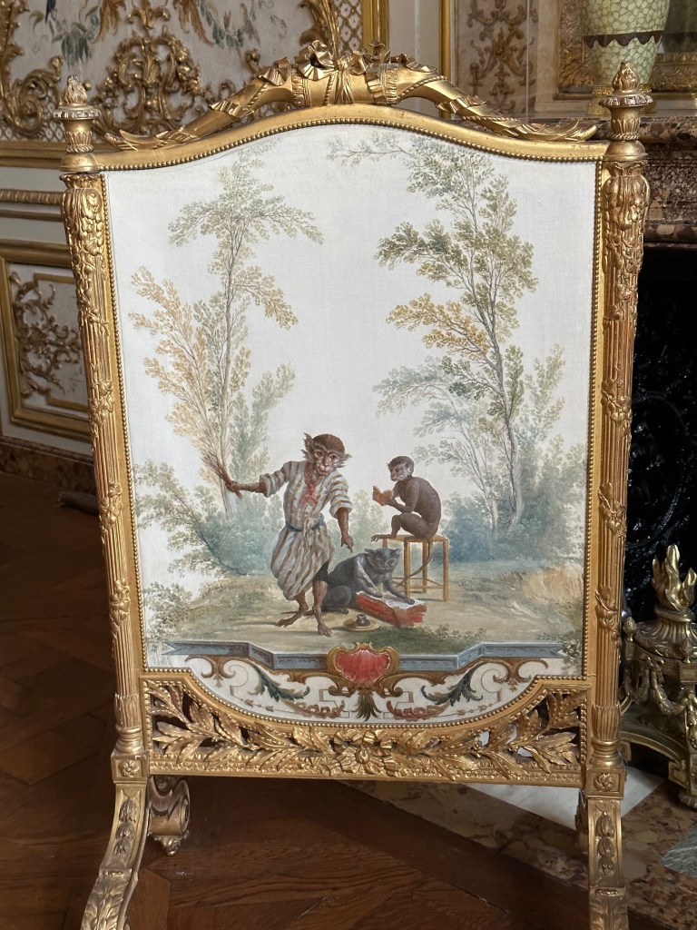
Just your normal decorative French fire screen; nothing to see here. . .

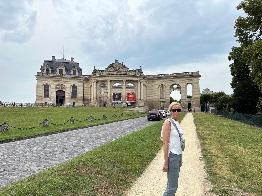
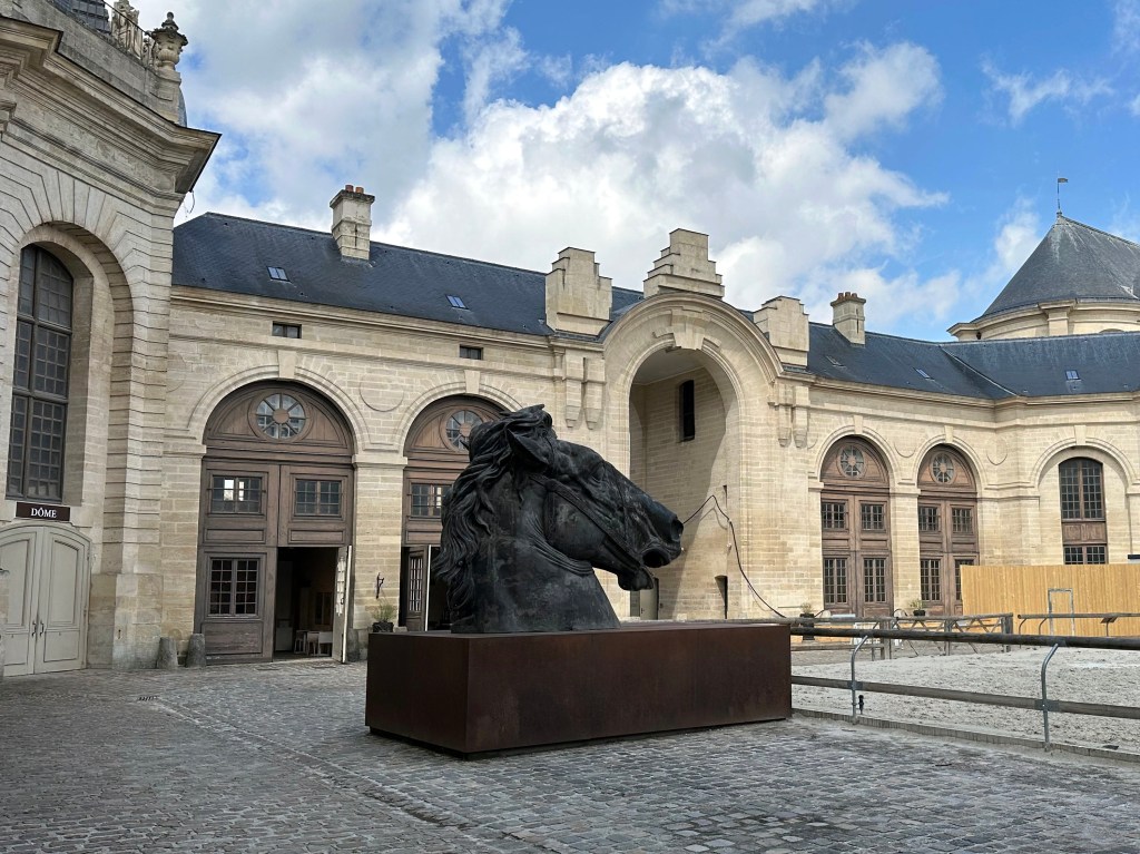
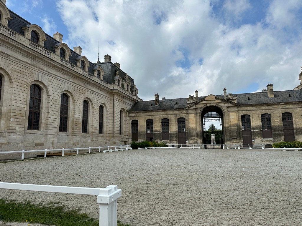
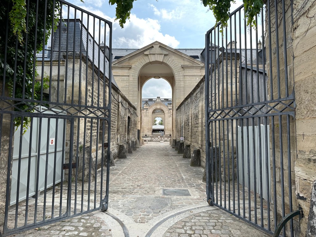
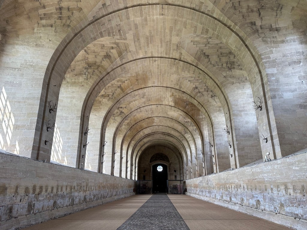
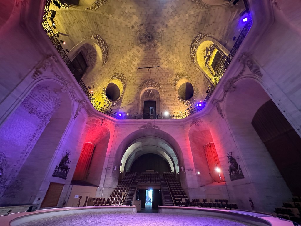
Heading to the stables. . .

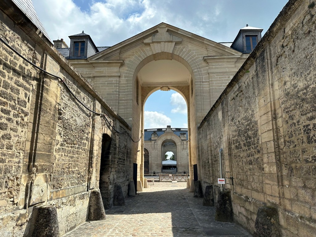
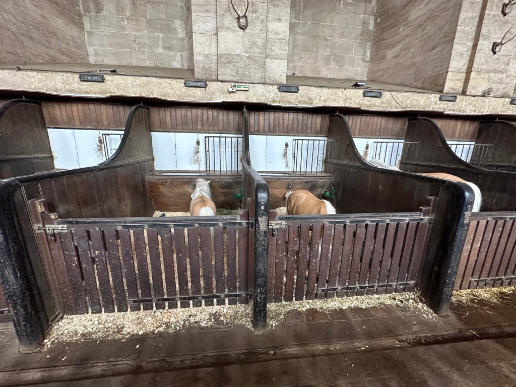
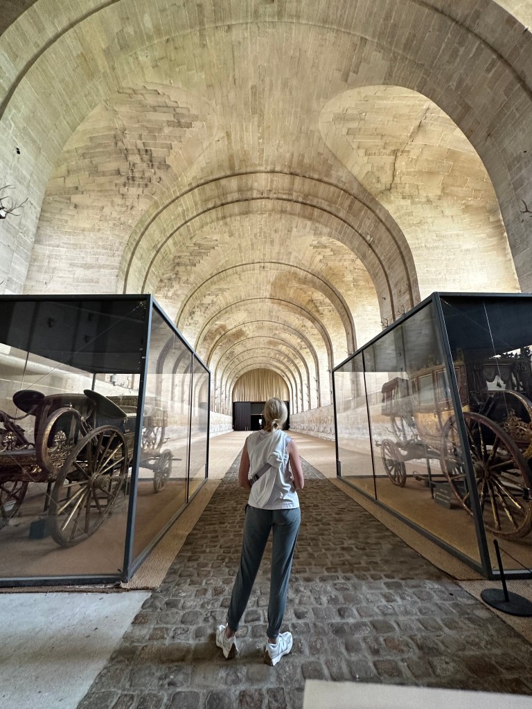
Just as grand as the chateau itself.

Stables: huge. Horses therein: not so much.

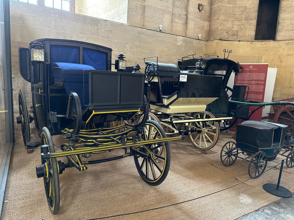
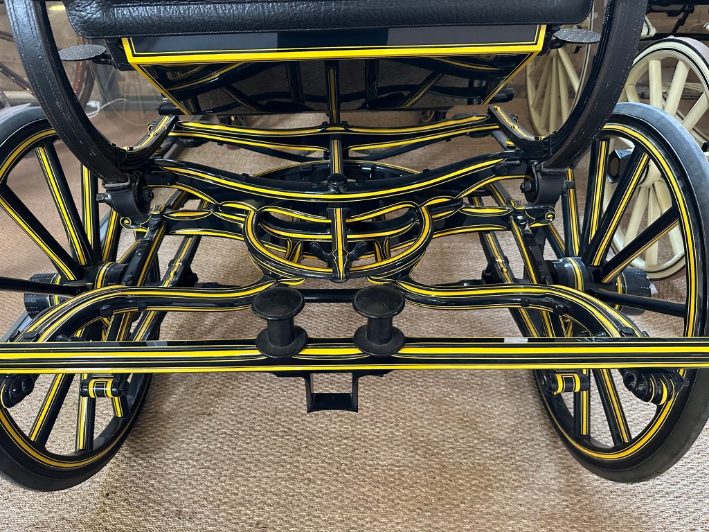
Old-school carriages:

Just a pretty cool suspension and paint job.

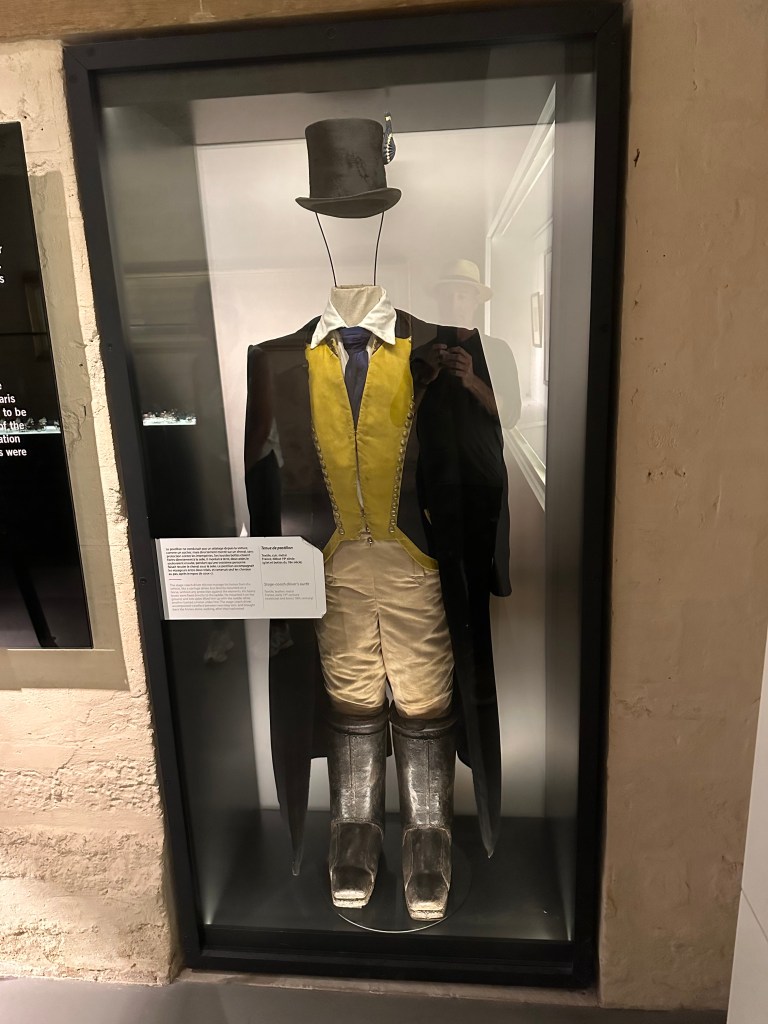
Stage coach driver uniform:

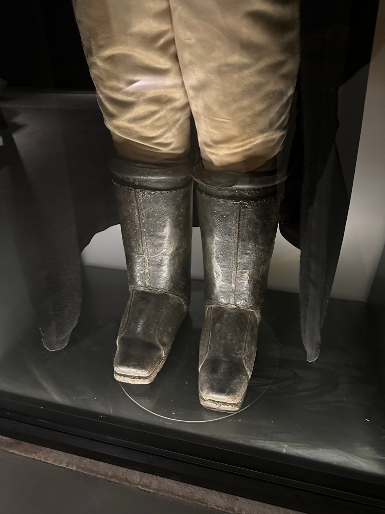
His boots were not worn, but instead affixed directly to his saddle.

We spent the night at a nice Relais & Chateau hotel next to Chateau de Chantilly, then woke up the next morning to meet Thomas and Lisa upon their disembarkation in CDG from their redeye from ATL. But WolfeStreetTravel’s Chief Adventure Officer, who’s in charge of the entire itinerary, mistook their takeoff time (at around 6:30 PM) for their landing time (at around 9:00 AM) and so we left the hotel WAY too early, missed a nice breakfast, and ended up trying to sleep a little more in the lobby of one of the airport hotels at CDG while we waited for Thomas and Lisa. One more screw up, but luckily a minor one (although the WolfeStreetTravel Navigator was pretty annoyed that she lost sleep over this, literally).

Next: Bayeux and biking!

Categories: A Prolonged Foray to Europe, Paris | Tags: , , , , | Leave a comment

A Prolonged Foray to Europe: Normandy Biking Day 1 – A Tale of Two Invasions

After a lag day / risk-mitigation buffer day between Malta and Normandy in Chantilly, France, we headed early the next morning to CDG to pick up Thomas and Lisa from their red eye that departed Atlanta the evening before. (We did not, in fact, need to head out early the next morning, as noted in the Chantilly post. Because one of us is an idiot).

From CDG, we headed to Bayeux in Normandy to kick off some kick ass biking.

Bayeux is home to a pair of invasions, albeit separated by a millennium. The first, by William the Conqueror (or Billy the Conq, as David Crowther would say) occurred in 1066, and the invasion rolled out east to west: the Norman conquest of England.

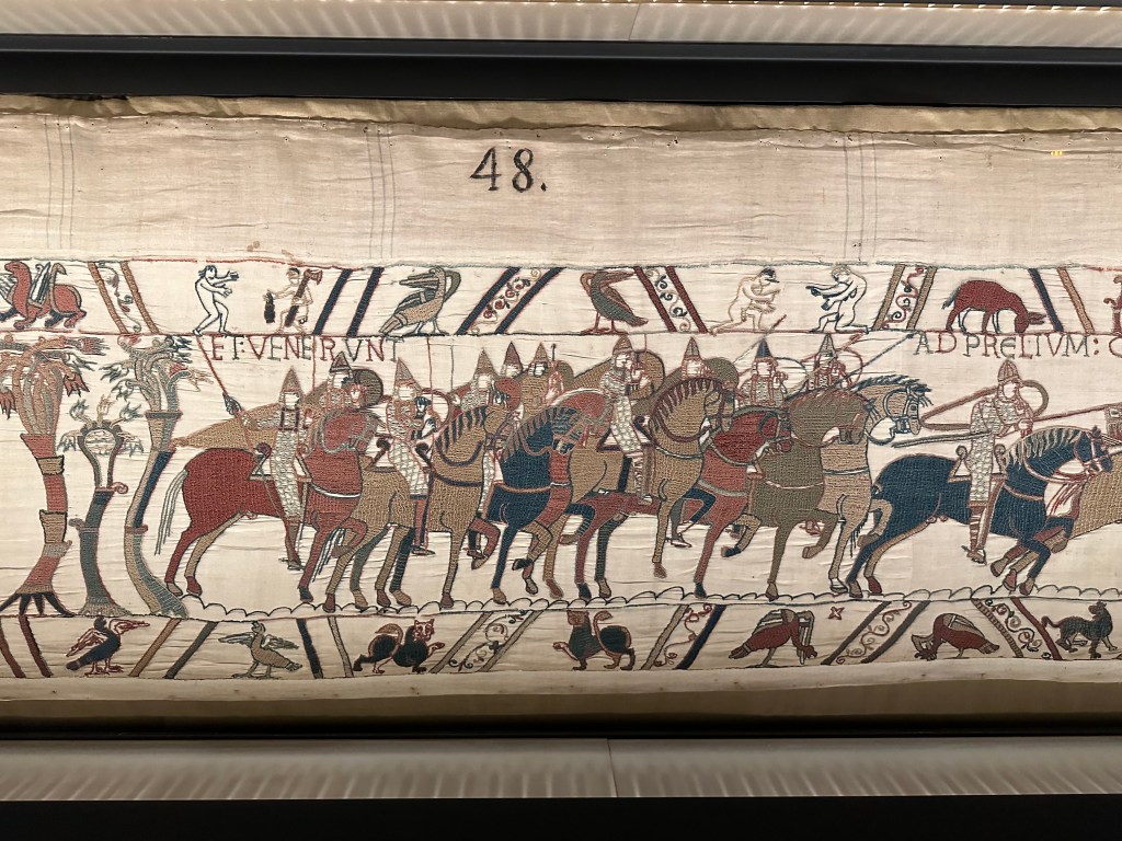
Our very first activity after checking into our hotel was a visit to the Bayeux Tapestry to check out this 1000-year-old graphic novel depiction of the invasion.

It did not disappoint (other than the museum’s insidious approach to keeping the viewing line moving using the audio tour prompts to move you forward to the next scene much sooner than you would have liked).

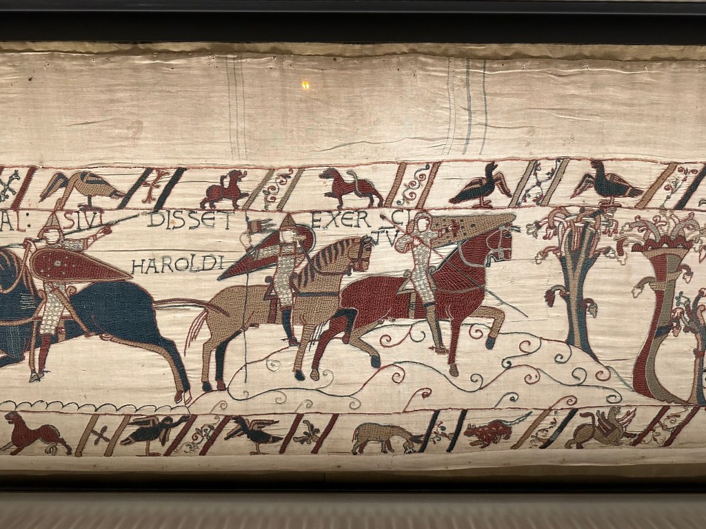
Taking photos was prohibited, but WolfeStreetTravel is nothing if not an opportunistic, determined, scofflaw.

The penultimate caption about Harold Godwinson:

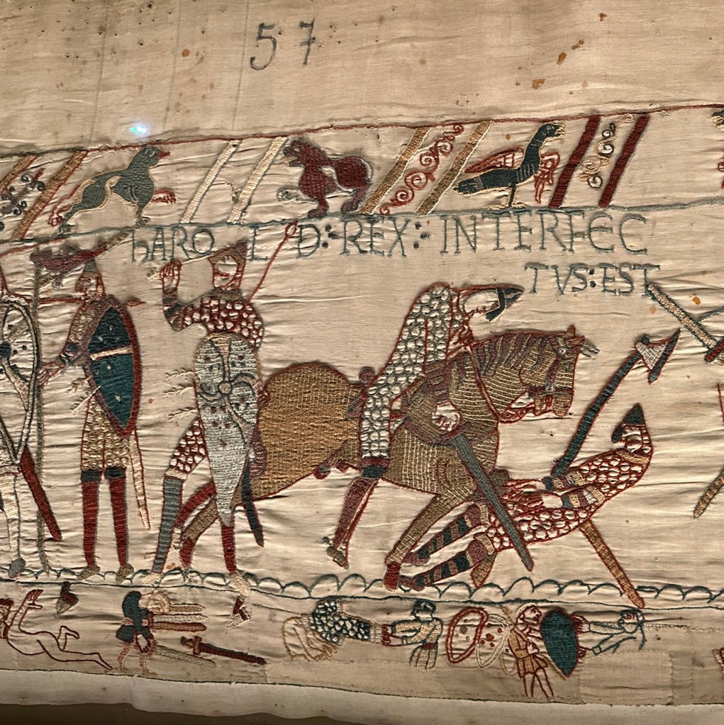
Aaaand, the ultimate Harold caption, right above the infamous arrow in the eye:

Infamous – and inaccurate, apparently. The earliest known account of the Battle of Hastings (which, of course, is what’s being depicted above) states only that Harold was killed. It does not say how. Moreover, it seems that the arrow in the Bayeux tapestry (which also is not actually a tapestry but an embroidery), was not part of the original 11th-century stitching, but part of a 19th-century restoration. According to an 18th-century drawing of the tapestry, the arrow originally was a spear and the dude holding it was actually a spearman. Harold most likely is the ax man on the right who has just been slain. All of this and quite a bit more is from this fascinating article on Medievalists.net.

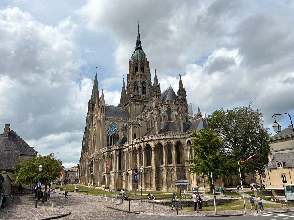
After being prodded along the entire, 70-meter length of the tapestry by the pushy audio tour, we exited and headed to another of Bayeux’s 11th-century sites: Notre-Dame de Bayeux, built in 1079.

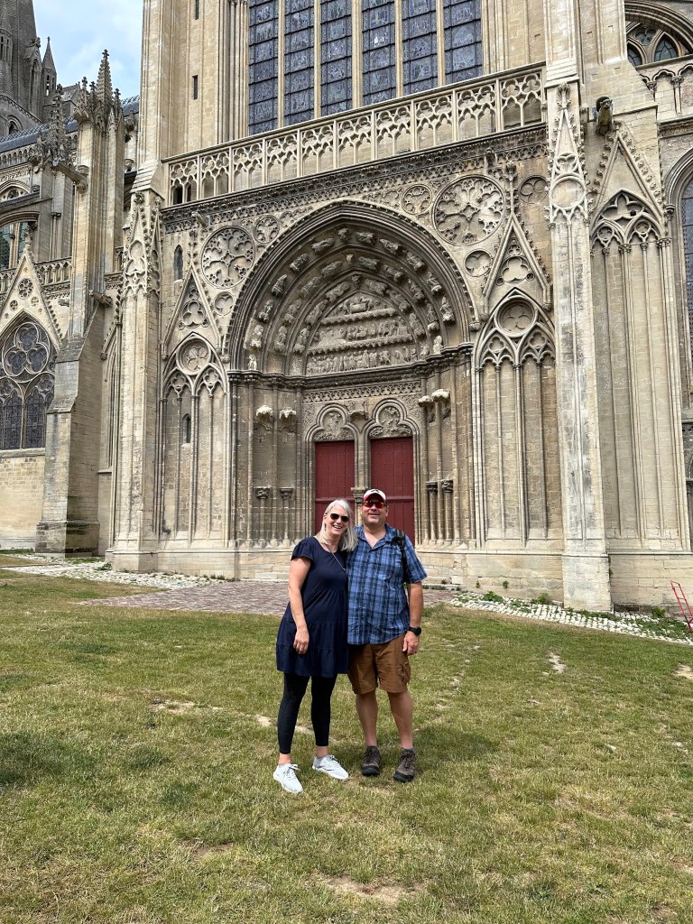
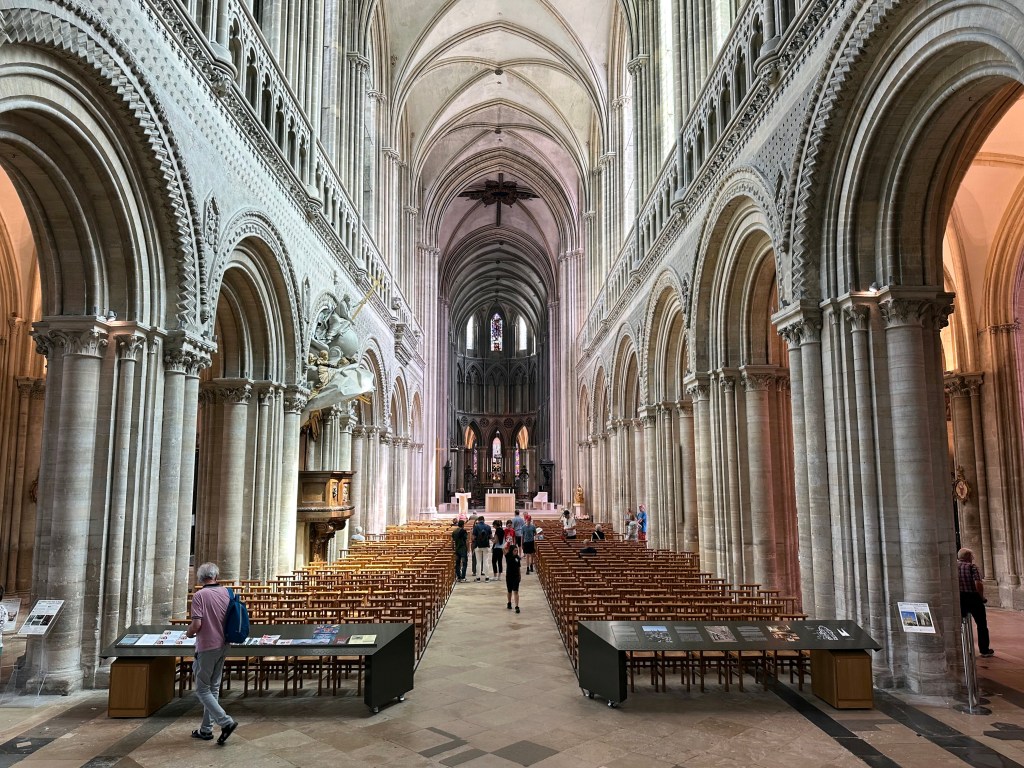
Consecrated in the presence of Billy the Conq, himself, the cathedral was the original home of the Bayeux Tapestry.

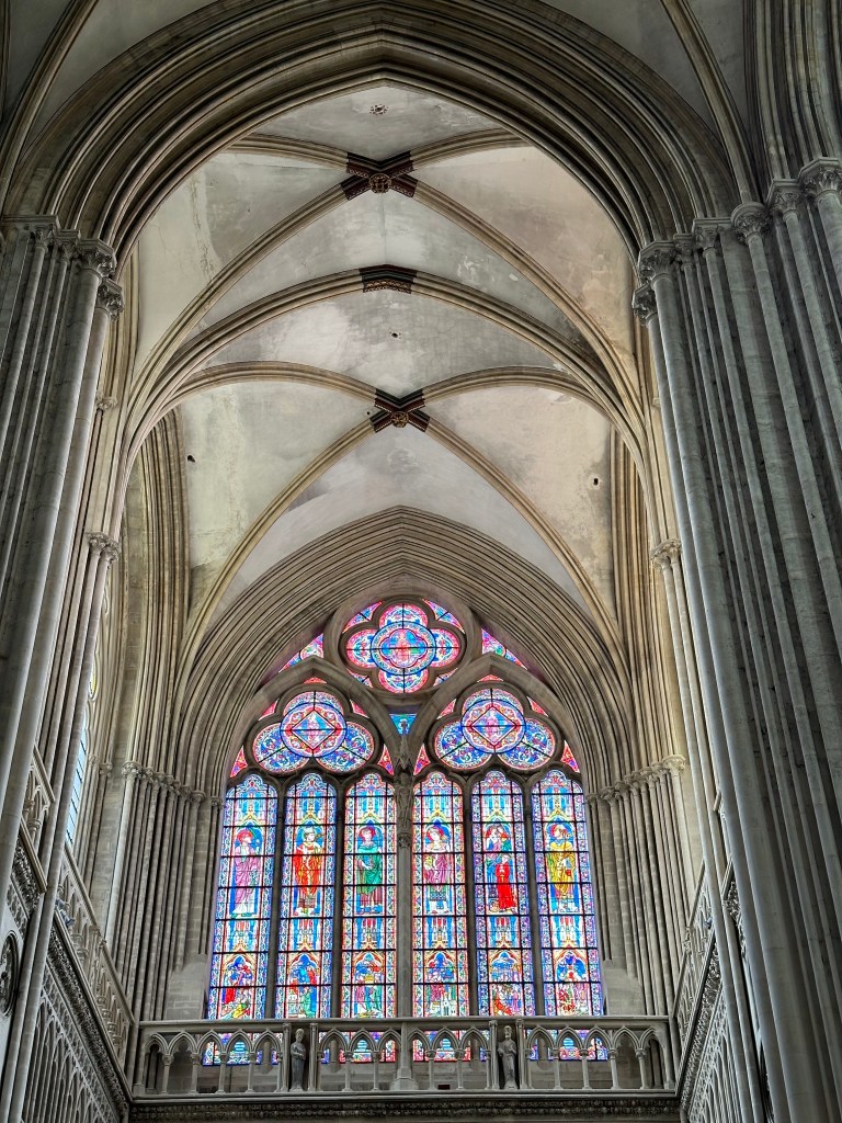
It’s considered to be the finest example of Norman-Romanesque architecture in the world.

And it was consecrated by Odo, William’s half brother and the most likely patron of the Bayeux Tapestry’s creation.

Dinner our first biking night included a little celebration of Lisa’s (the other Lisa) new job.

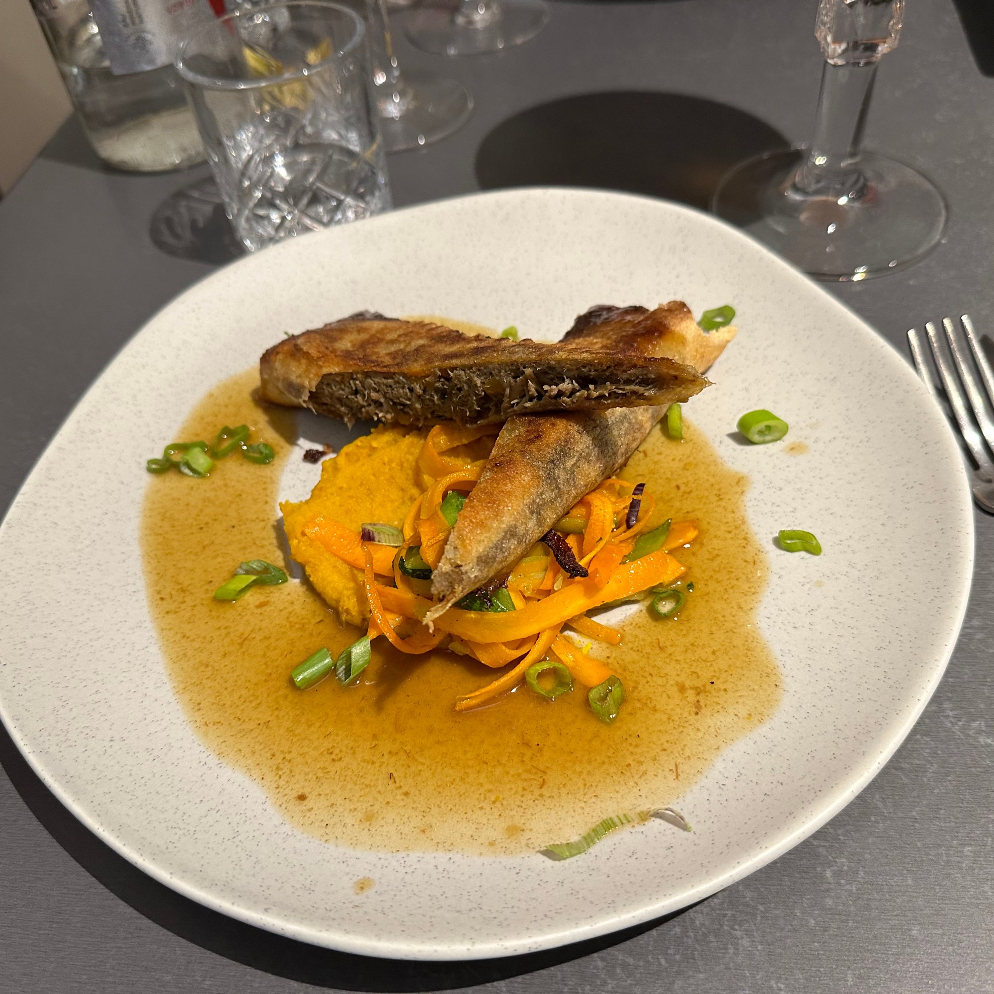
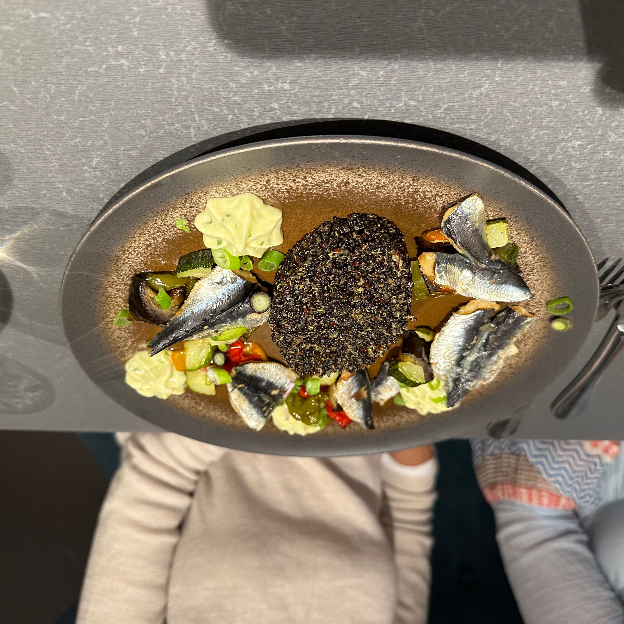
Pretty good French cuisine to start this leg of the trip.

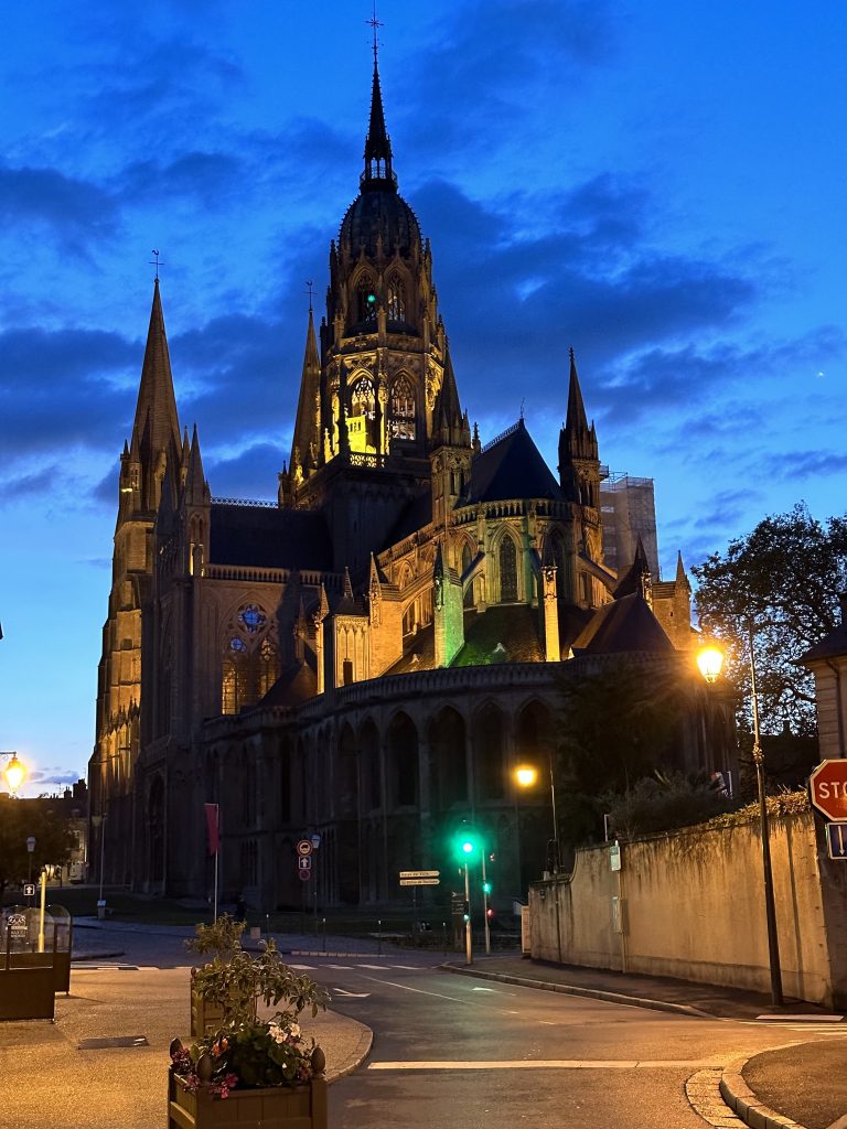
Night falls on Bayeux and the cathedral. Tonight we rest. . .

for tomorrow we ride!

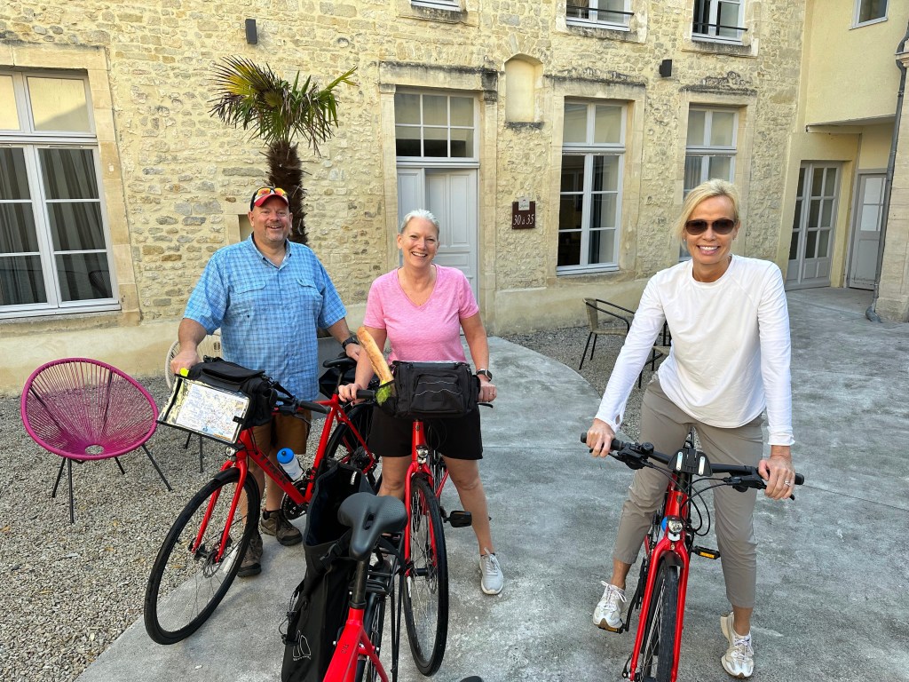
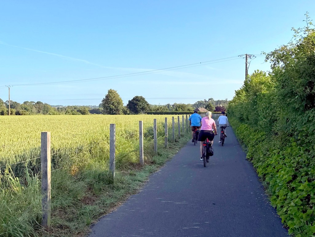
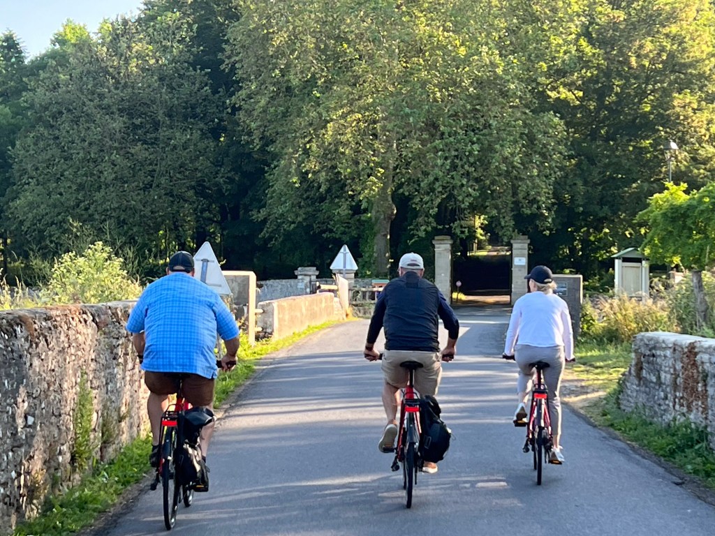
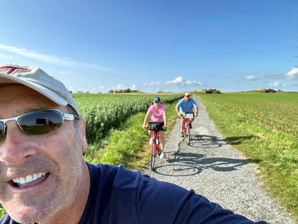
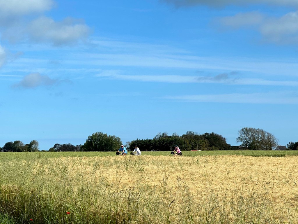
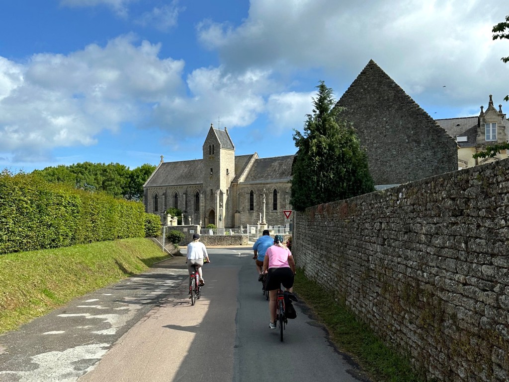
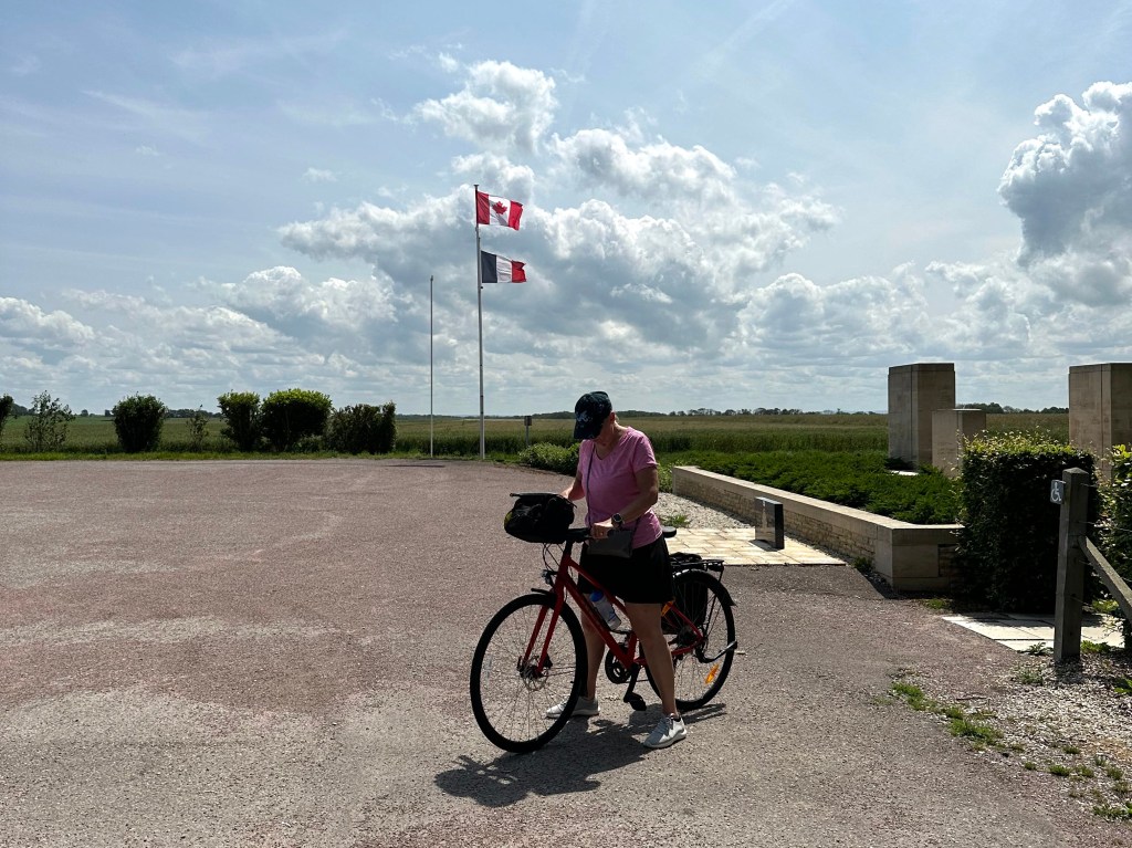
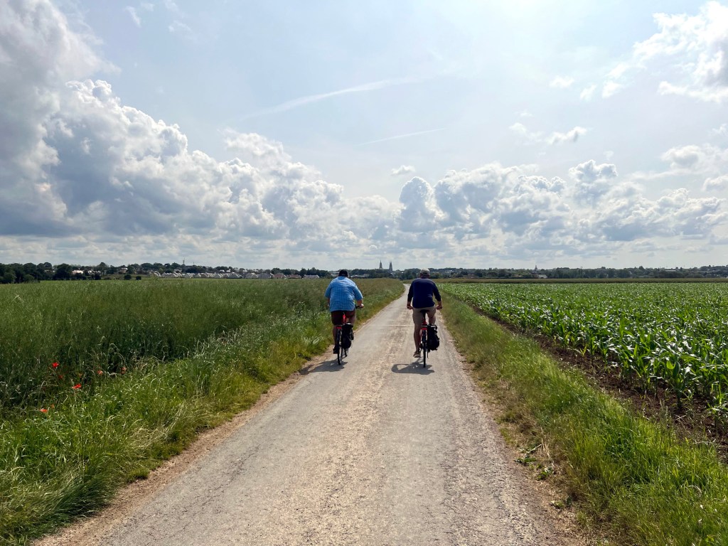
Perfect weather for the first day of biking in France.

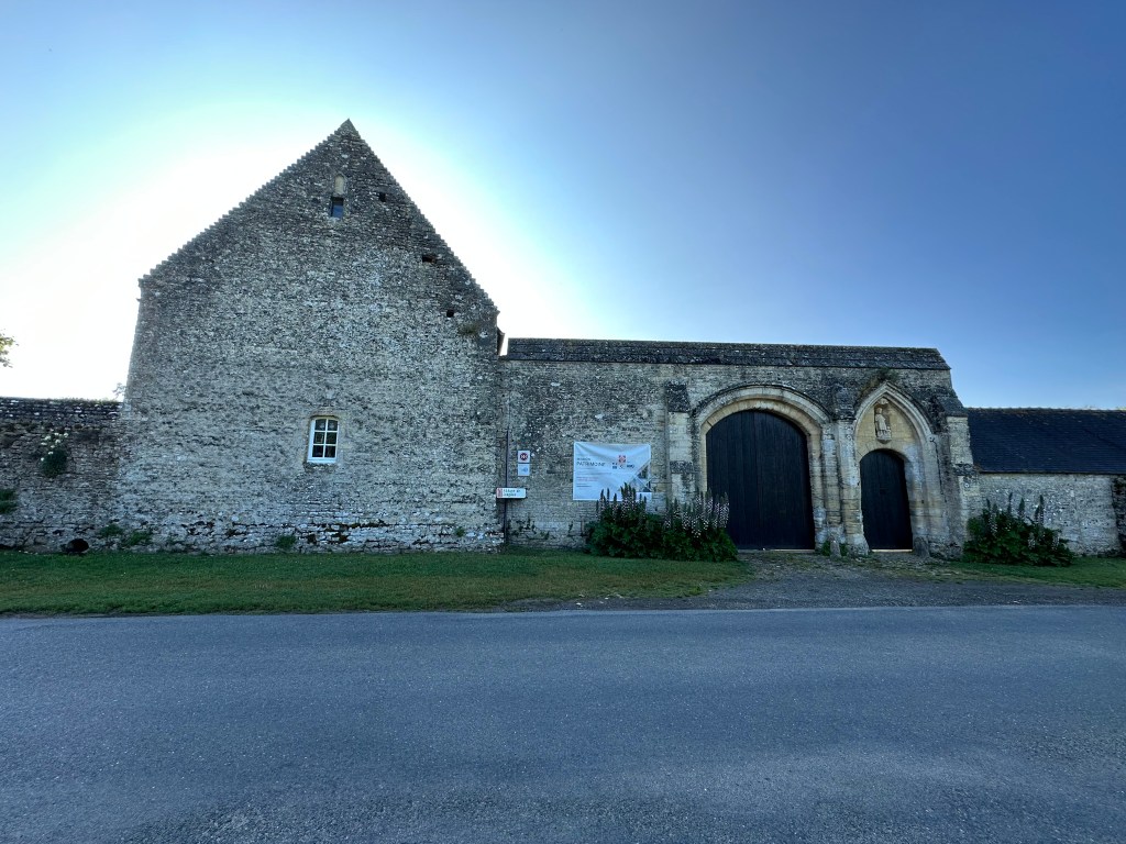
The Longues Abbey, which was founded 1168, peaked in 1257 with 22 monks and four priories, declined in 1526 during the chaos of the Hundred Years’ War, was trashed by Protestants in 1562 during the Wars of Religion, and finally was disbanded by the Bishop of Bayeux in 1782.

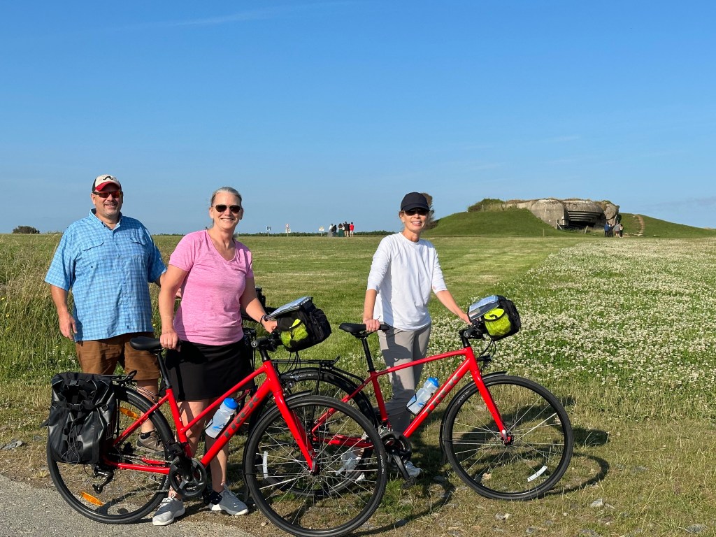
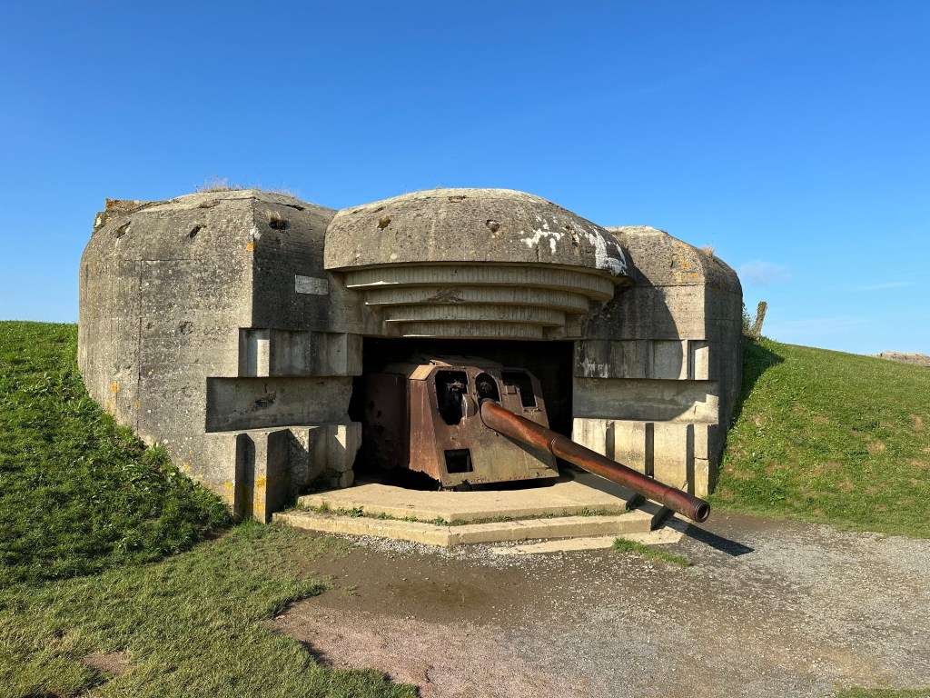
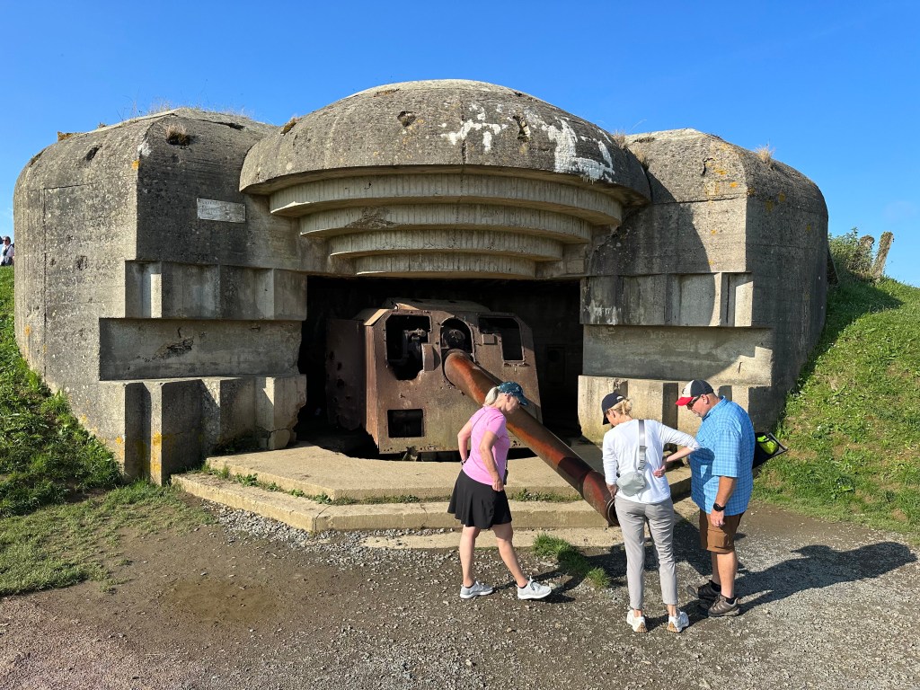
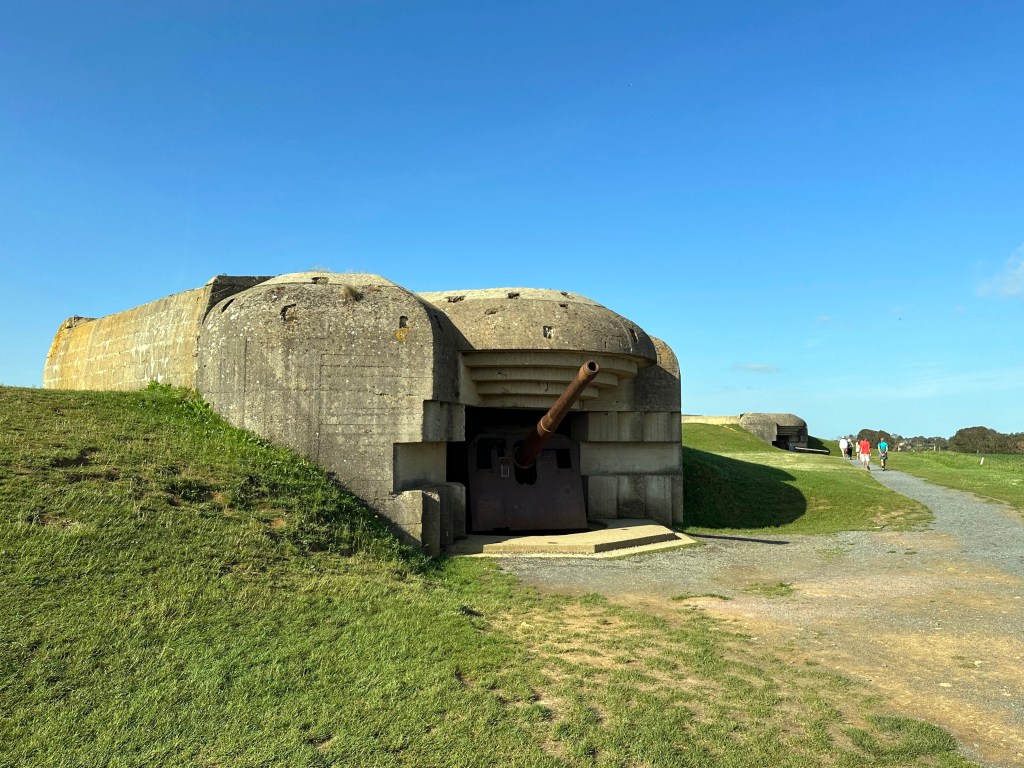
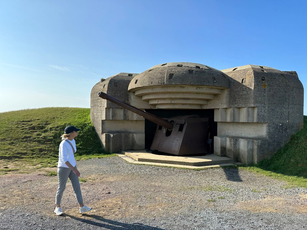
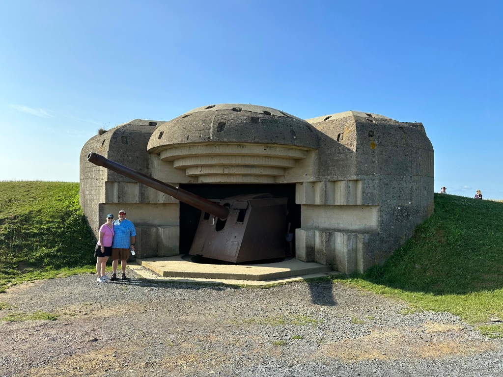
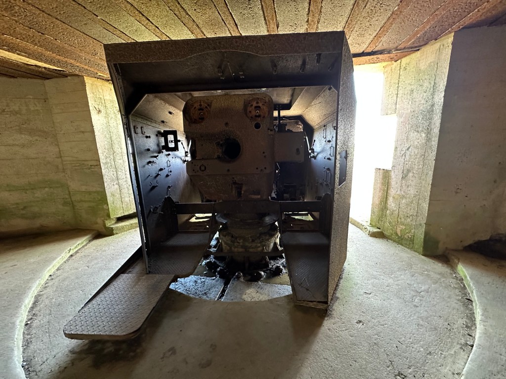
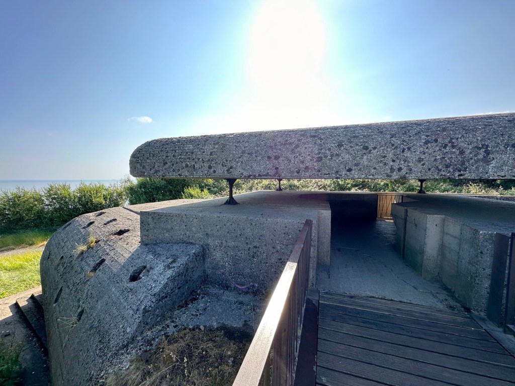
The absolute highlight of the day was the WWII, German Longues-sur-Mer coastal artillery battery.

Which brings us to the second invasion, this time west to east: the Allied invasion of Normandy during WWII, a millennium after the Battle of Hastings.

The Longues-sur-Mer battery shelled Allied naval forces off Gold and Omaha beaches on June 6, D Day, but was damaged by Allied shore bombardment the same day.

It was captured by British ground forces on June 7 and played no further part in the Normandy campaign.

The battery is the only one in Normandy to retain its original complement of guns.

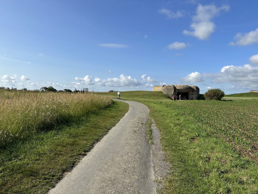
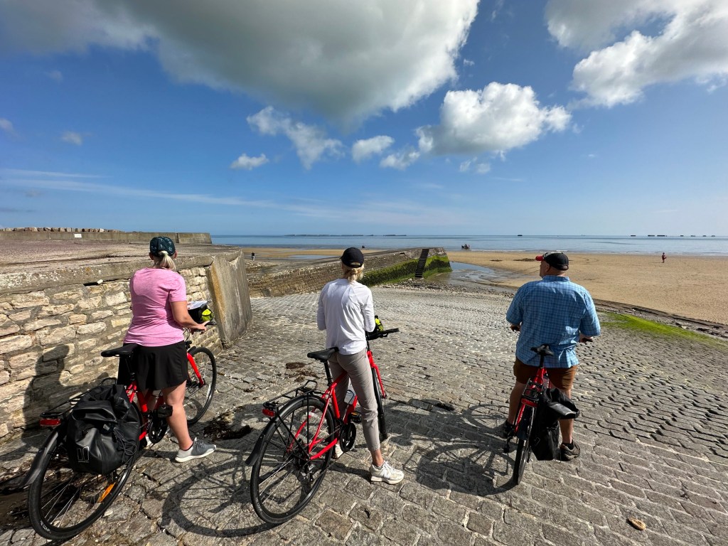
Heading to the coast.

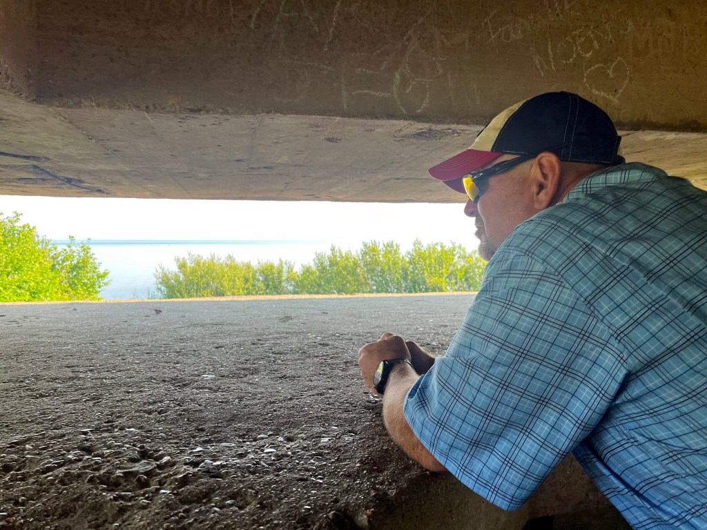
And the battery’s fire control post.

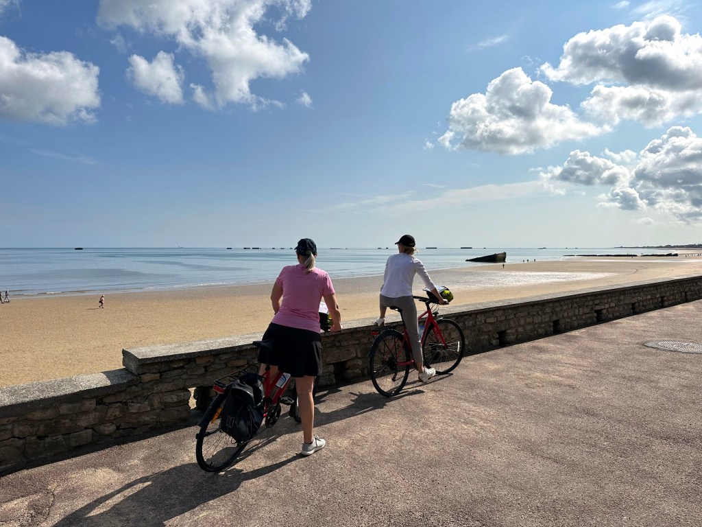
On the coast, the remains of Mulberry Harbor B off Arromanches, named Port Winston. The two Mulberry harbors were designed by the British to be towed across the channel during the Allied invasion of Normandy.

“The Mulberry harbours solved the problem of needing deepwater jetties and a harbour to provide the invasion force with the necessary reinforcements and supplies, and were to be used until major French ports could be captured and brought back into use after repair of the inevitable sabotage by German defenders. Composed of floating but sinkable breakwaters, floating pontoons, piers and floating roadways, this innovative and technically difficult system was being used for the first time.

The Mulberry B harbour at Gold Beach was used for ten months after D-Day, while over two million men, four million tons of supplies and half a million vehicles were landed before it was fully decommissioned.” (From here.)

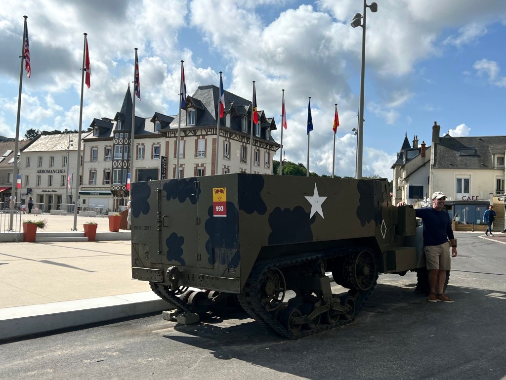
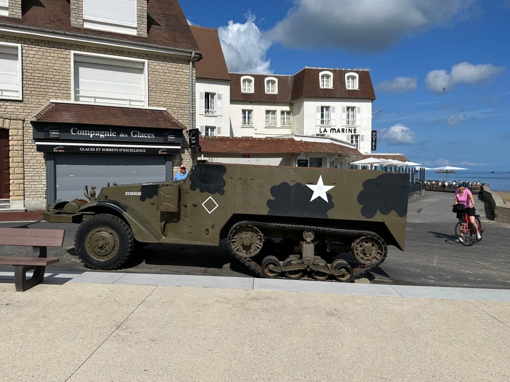
And just up the hill, the town of Arromanches. (With another WWII military artifact – we were delighted to come across these (mostly tanks) everywhere we rode our first 3 days of the tour.

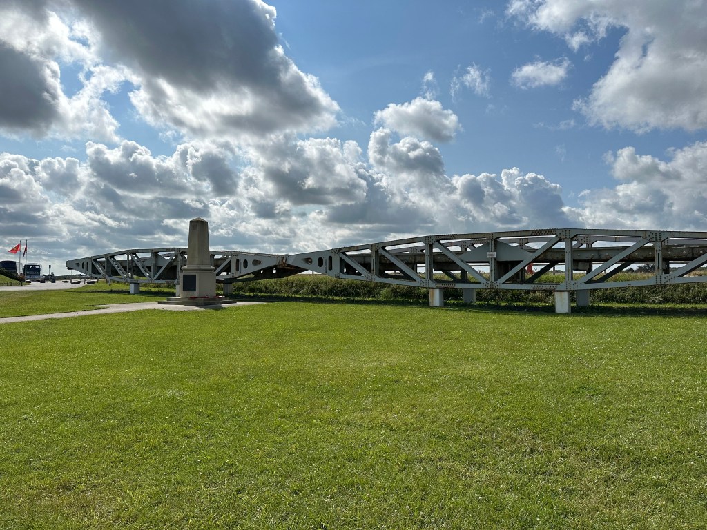
A Mulberry dock pier, codenamed “whales.”

Memorial to the invasion of Gold Beach here in Arromanches. A British beach, obviously.

Heading out of town to our next WWI site.

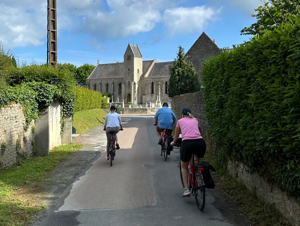
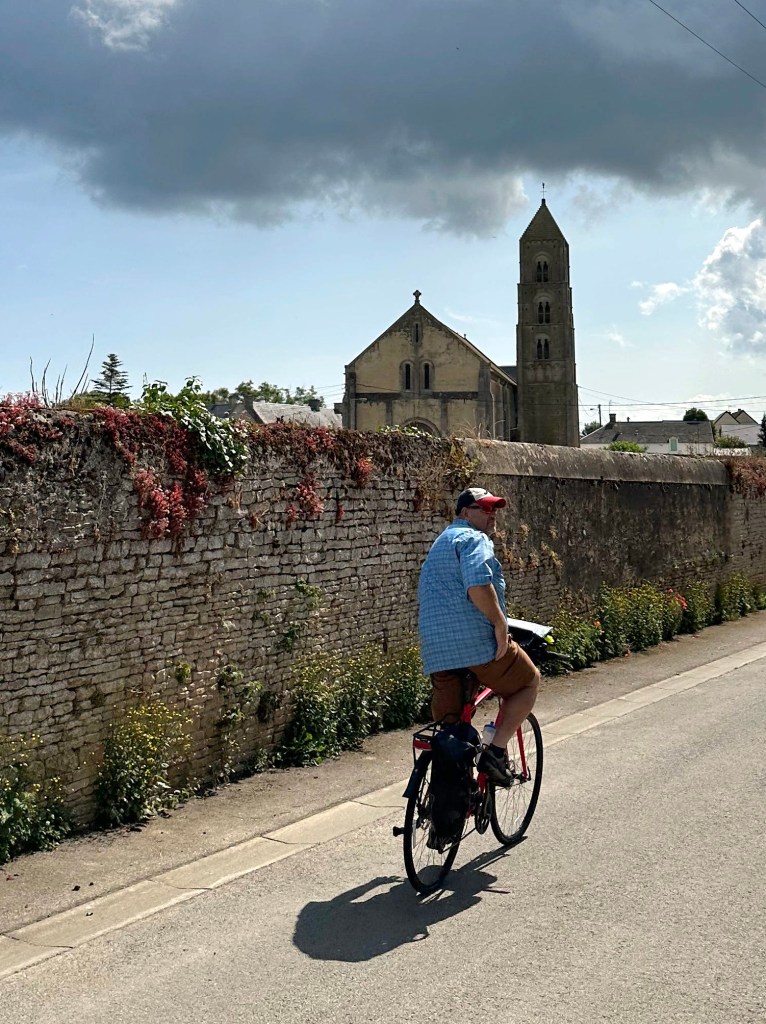
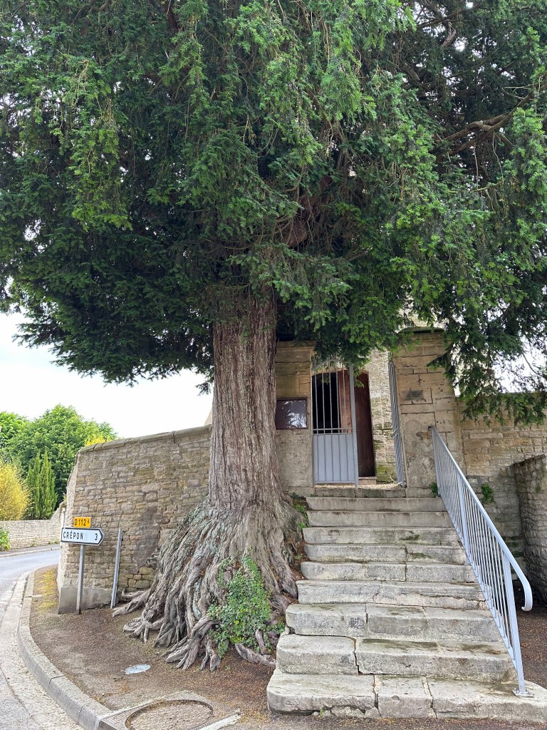
Passing a cool church with an even cooler tree on the way. (A little reminiscent of the even awesomer trees on either side of the church door in Stow-on-the-Wold during our Cotswolds road trip.)

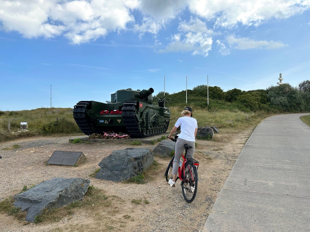
More WWII hardware on the coast! This is One Charlie, a British Churchill AVRE engineer tank that landed at Graye-sur-Mer on D-Day with the 79th Armoured Division, became stuck in a flooded crater, and was used to help support a makeshift crossing; four of its six crew members died, and the tank was recovered in 1977 and has stood as a memorial ever since. The ashes of its driver, Bill Dunn, were scattered at the site in 2014.

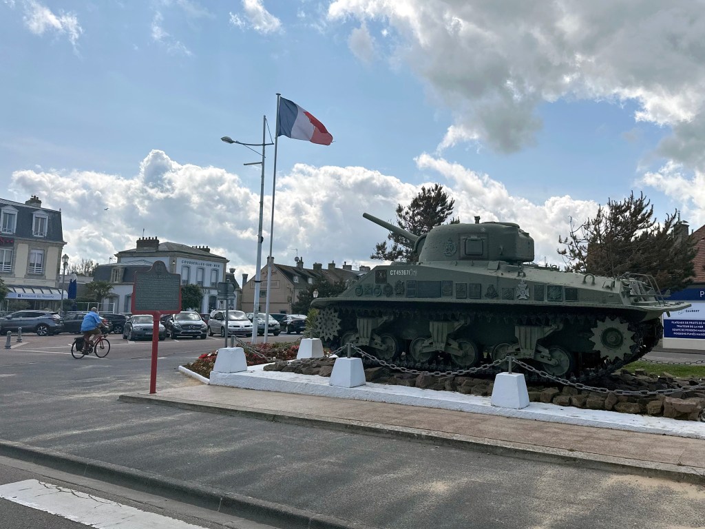
And even more hardware – a Sherman in town as we head to lunch.

Super cool rotating canal bridge:

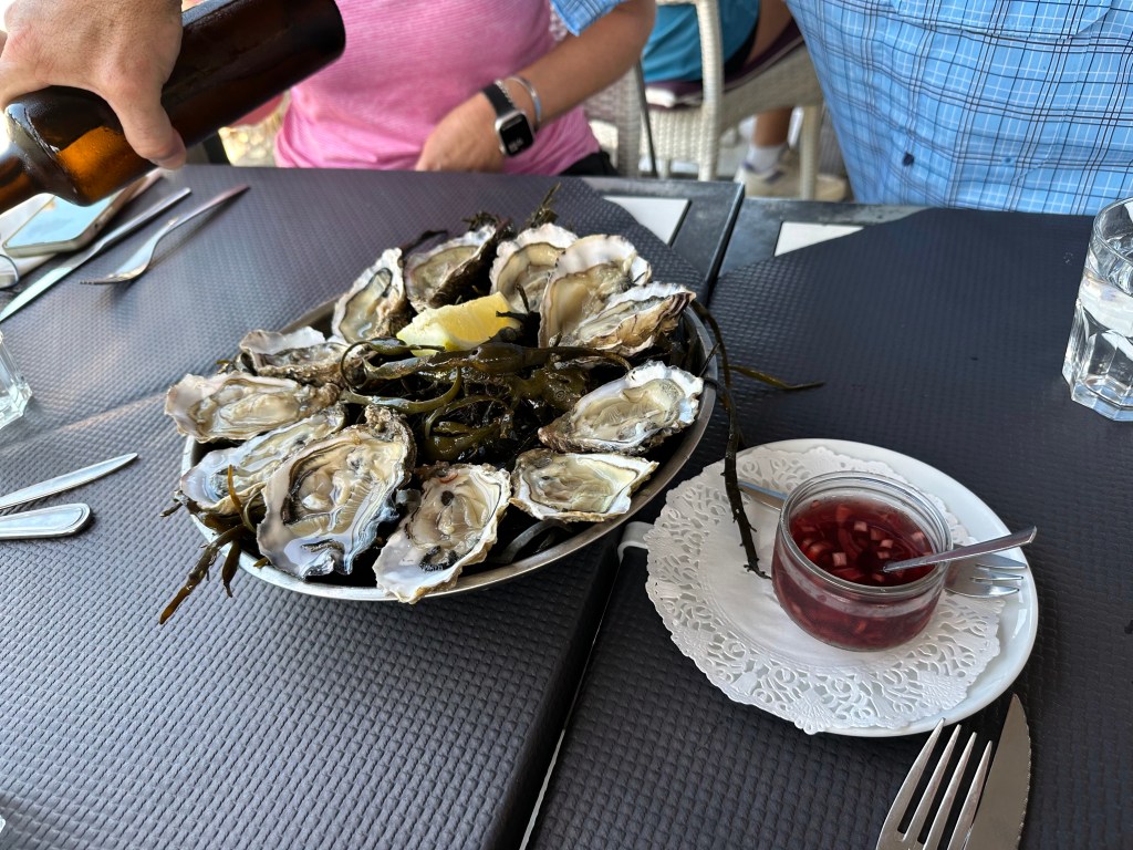
Our first taste of Normandy oysters in Courseulles-sur-Mer. Freakin’ amazing. This would be the first of dozens and dozens we’d enjoy down the coast as we proceeded through our trip.

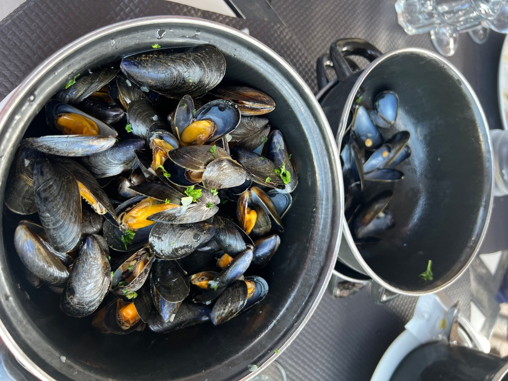
And moules, natch.

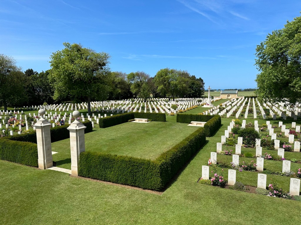
The Canadian cemetery in Normandy.

Very serene and impactful.

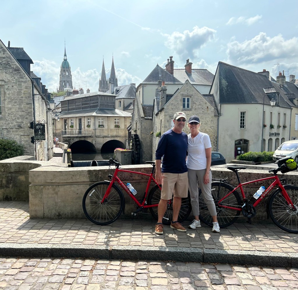
Back in Bayeux at the end of our first day of biking.

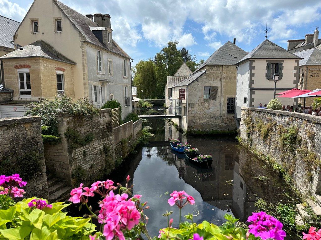
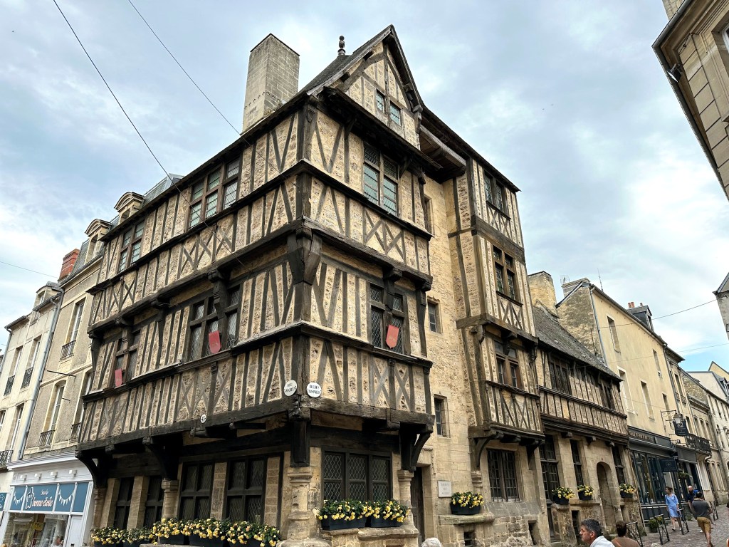
Very cool half-timbered medieval house in town.

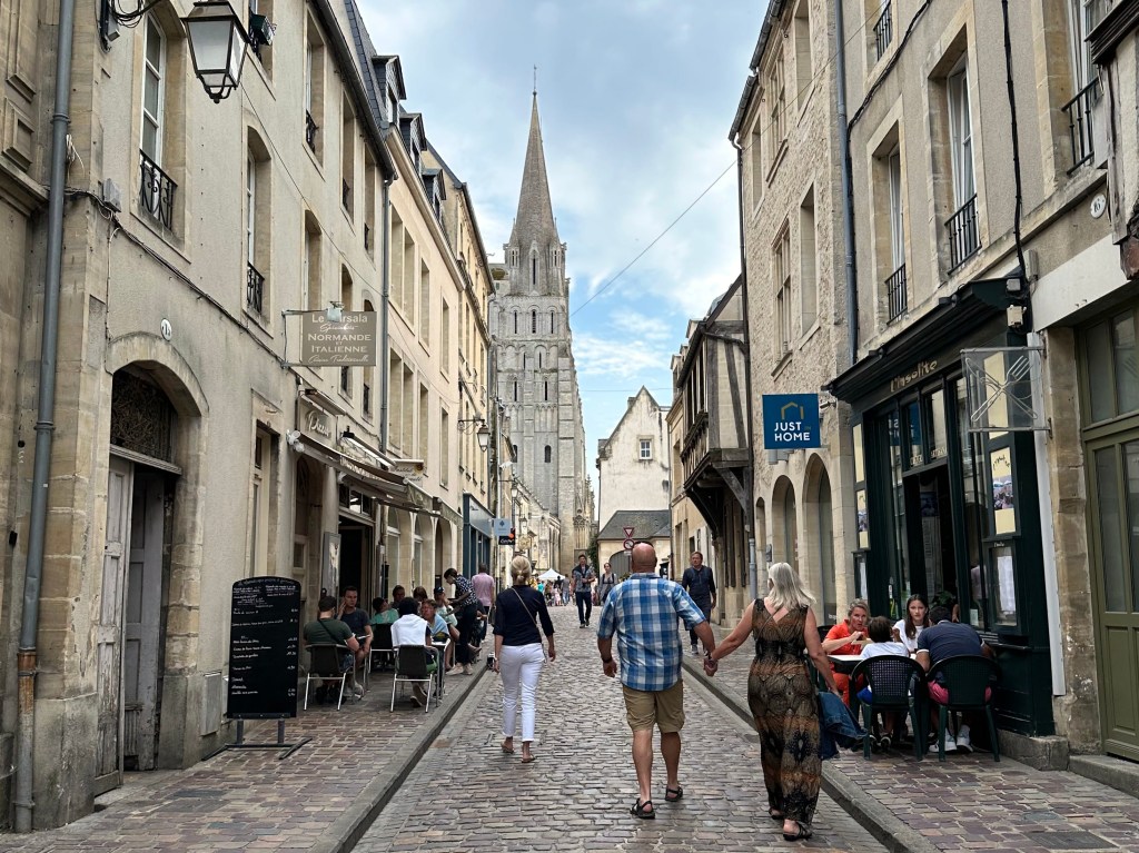
Yesterday’s cathedral looming over centre ville.

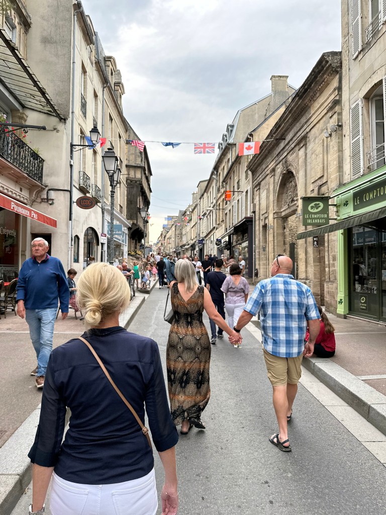
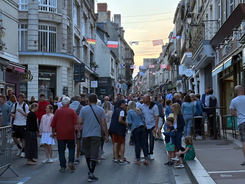
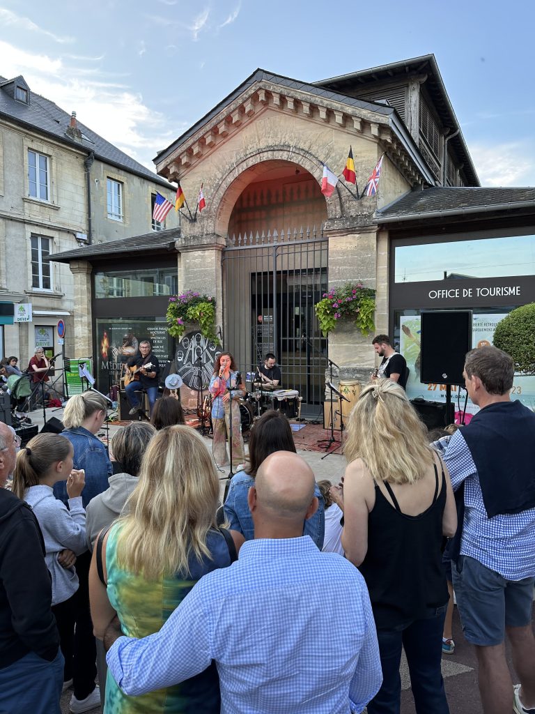
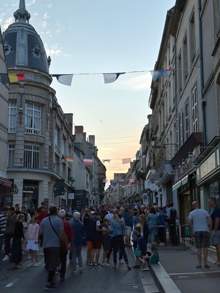
And, we soon learned, it was France’s national Day of Music – Fete de la Musique – where every town in France explodes into dozens of little tiny desk concerts.

Including Bayeux.

The locals were definitely digging it! (Aided, we’re sure, by the high-octane Belgian trappist ale, Delirium Tremens.)

Pretty good start to this leg of the trip!

Categories: A Prolonged Foray to Europe, Normandy, Normandy, France | Tags: , , , , | 2 Comments

Blog at WordPress.com.