Posts Tagged With: travel

A Prolonged Foray to Europe: Syracuse / Siracusa

After a little less than a week barnstorming Baroque burgs, we headed further east, to the palpably historic quasi-island of Syracuse.

Founded by Corinthian Greeks (not the Doric Greeks) in 734 BC, Siracusa (Syracuse) rose to become one of the most powerful city-states in the Mediterranean. At its peak under the tyrant Dionysius I in the 4th century BC, it rivaled Athens itself in wealth, population, and military might. It was here that Archimedes was born and conducted his legendary experiments, here that the Athenian fleet suffered one of history’s most catastrophic military defeats in 413 BC, and here that Cicero served as quaestor, later calling it the most beautiful city in the Greek world. All concentrated on the small island of Ortigia (and the surrounding mainland).

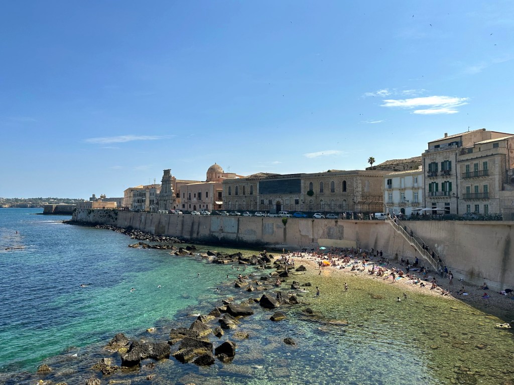
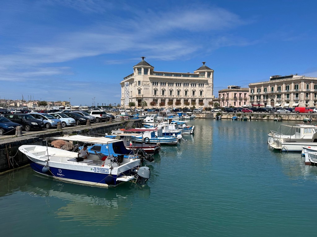
View from the bridge between the mainland and Ortigia (although you’re never really aware that you’re on an island, inasmuch as this is the extent of the separation):
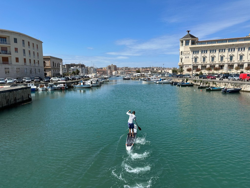
Siracusa’s extraordinary layering of Greek, Roman, Byzantine, Arab, Norman, and Aragonese civilizations (and Baroque architecture) earned it UNESCO World Heritage status in 2005.
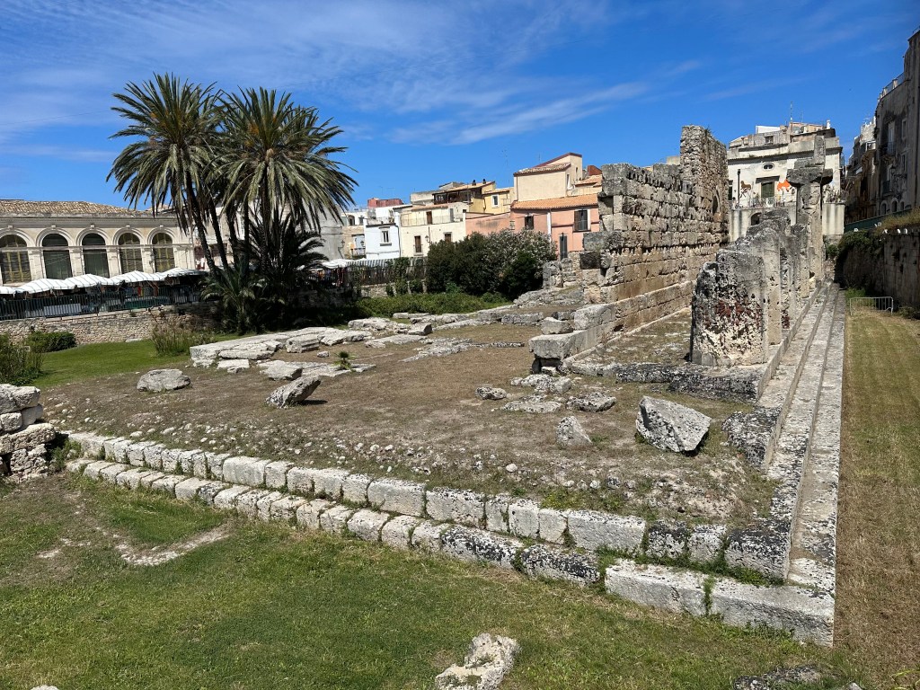
Exiting our hotel, we immediately run into ruins: ironically a Doric temple to Apollo from the 6th century BC:
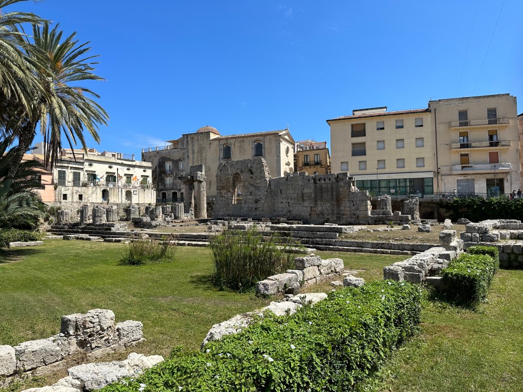
The Greek temple, unintentionally functioning as a snapshot of Sicily’s many cultural and religious layers of history, served later as a Byzantine church, an Arab mosque, a Norman basilica, and the Aragonese Church of Sanata Maria della Grazie as part of a Spanish barracks. It was finally demolished in 1864 – all of those layers of history reduced now to a mere archeological vestige of its prior history.
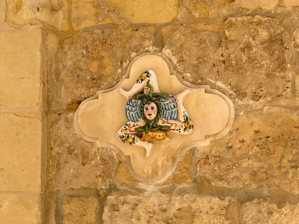
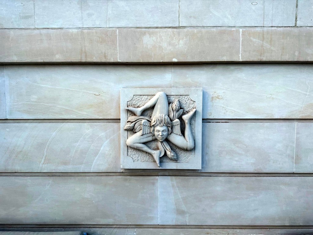
Our little Sicilian trinacria buddy embossed on a nearby building:
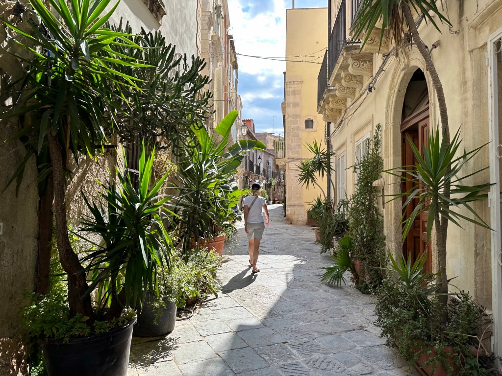
The winding alleyways of Ortigia in Syracuse:
One of which brought us here, to Chiesa di San Filippo Apostolo:
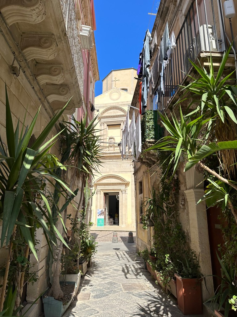
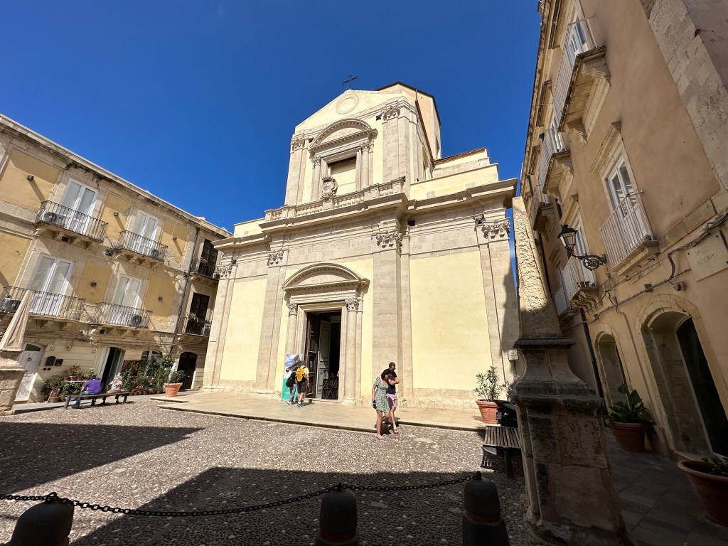
But our interest here lay not in the plain-Jane church (not even Baroque ornamental!). . .
but what lies beneath:
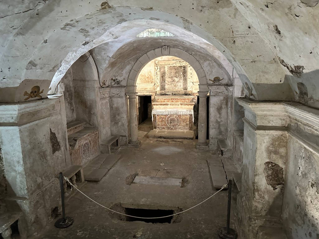
Immediately under the church floor lies an initial, pretty standard subterranean crypt level with 18th-century frescoes, burial chambers, and funerary chapels. This space was occupied by a confraternity, a Catholic religious brotherhood attached to a church — essentially a lay religious society rather than monks or priests — that frequently used underground burial and meeting space beneath the church.
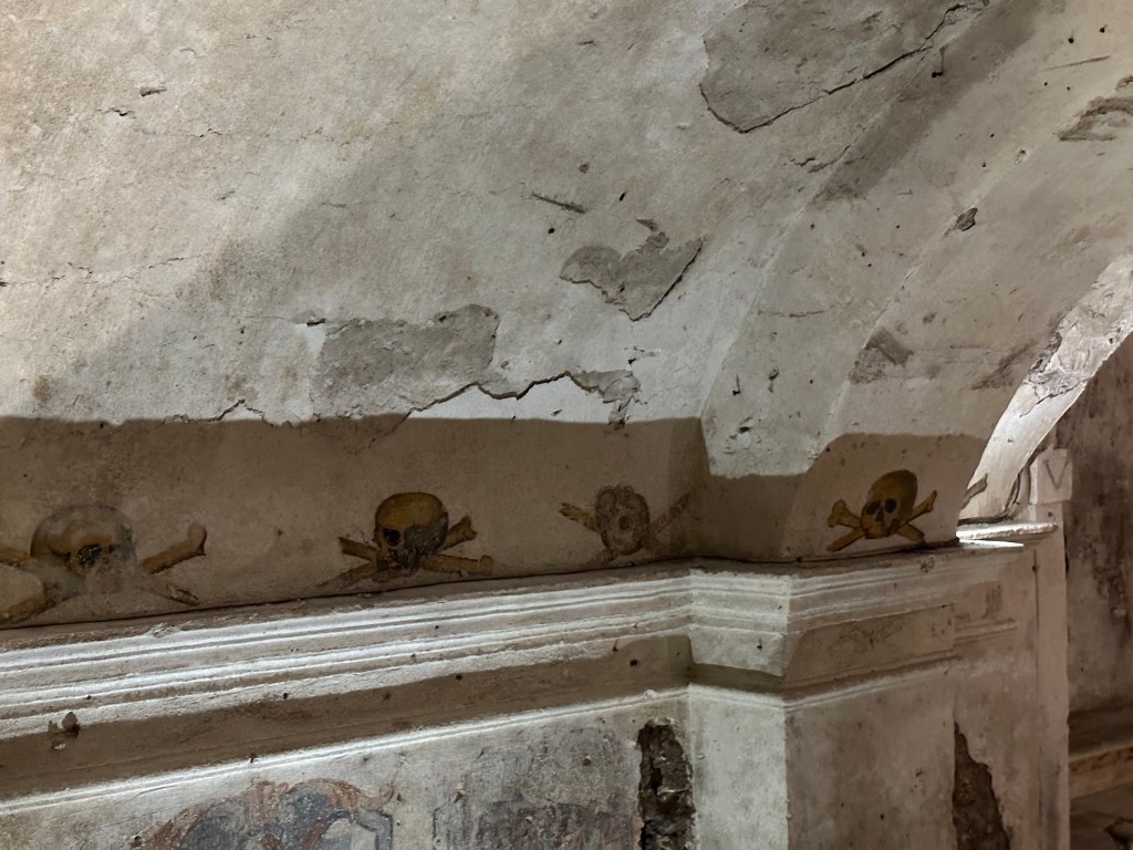
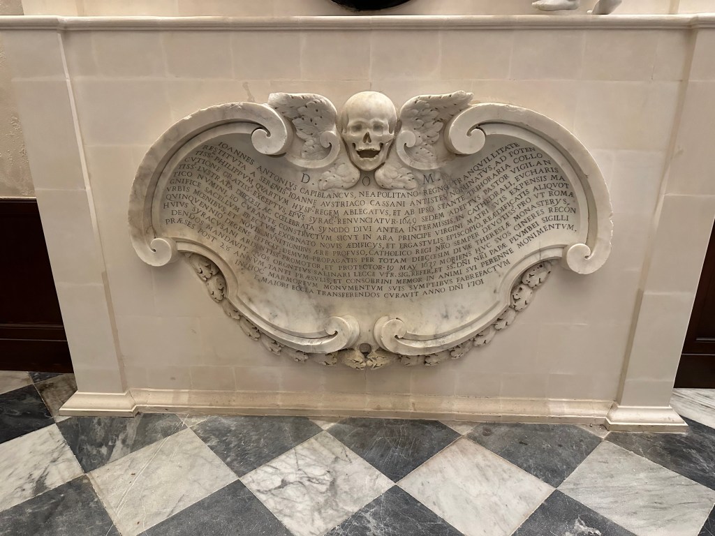
Some pretty wild mortality imagery throughout the crypt.
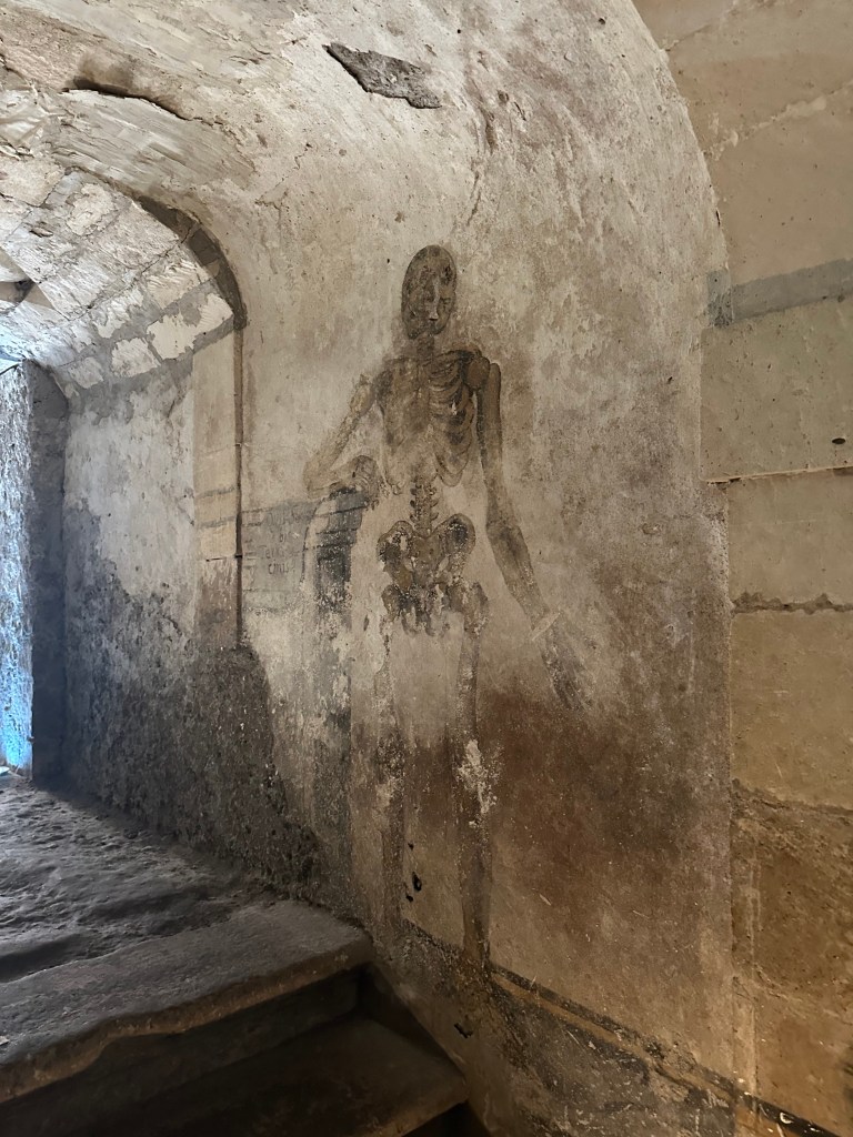
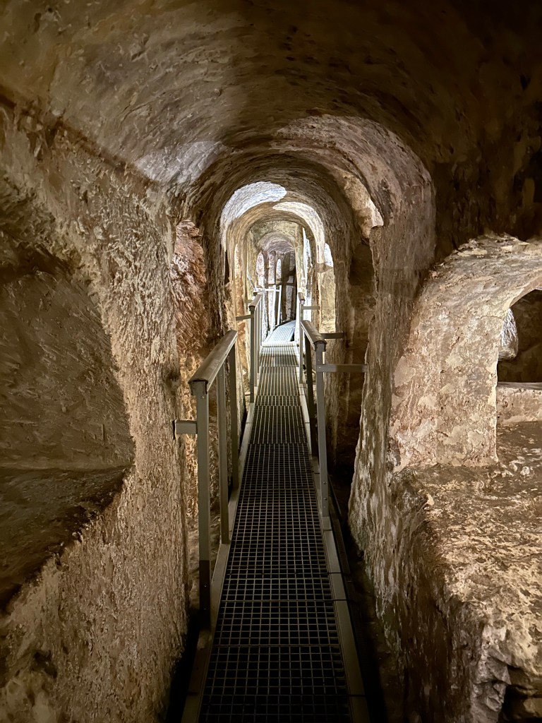
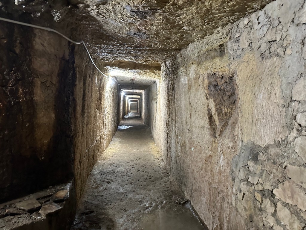
Then, descending below this initial subterranean level, we come to a more unusual underground labyrinth: WWII bomb-shelters beneath Chiesa di San Filippo Apostolo. These tunnels originally were part of an ancient Greek and Greco-Roman underground water and hypogeum network that stretches beneath Ortigia toward the sea.
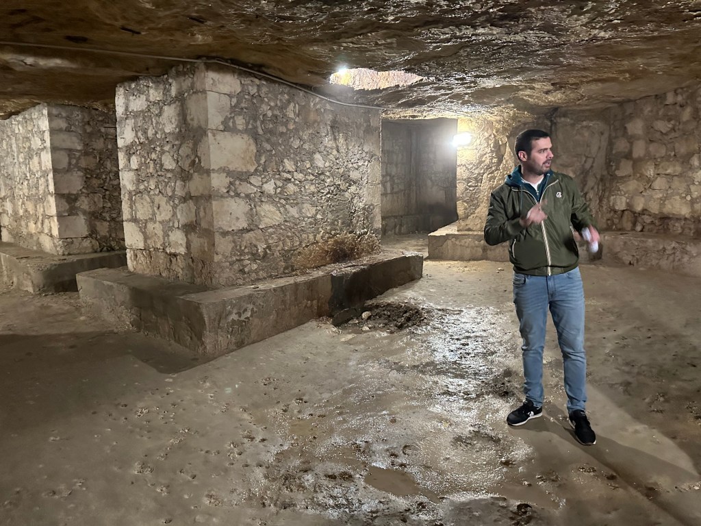
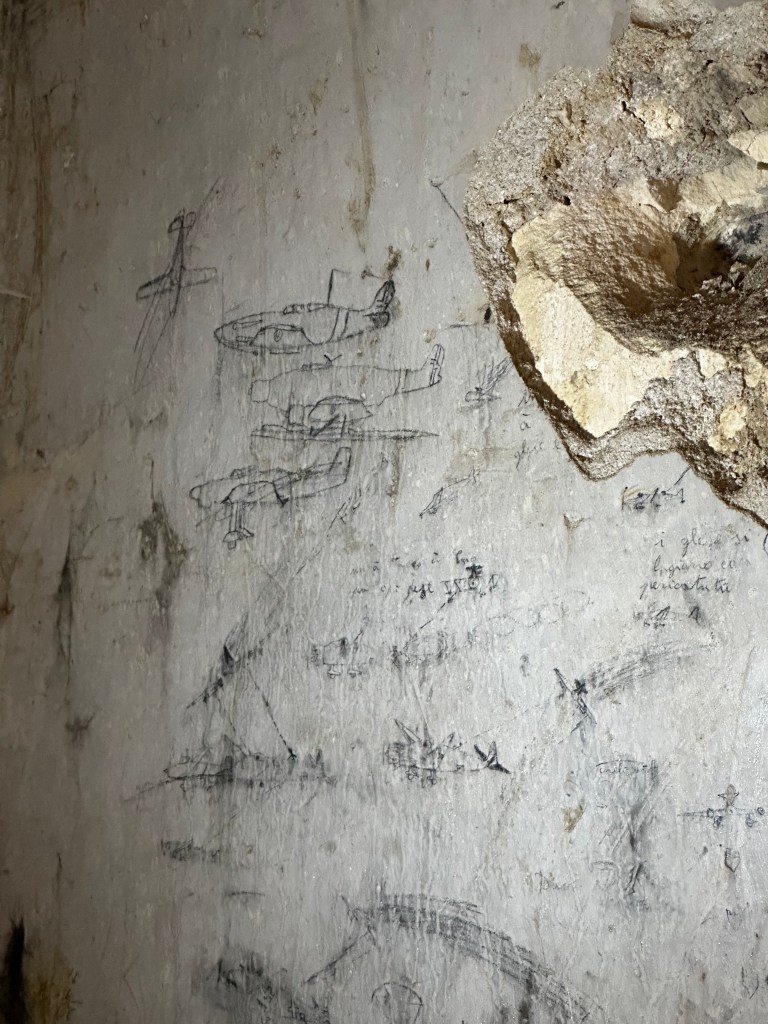
During the Allied bombing campaigns of 1943, the tunnels sheltered more than 10,000 civilians, and the walls still preserve wartime graffiti including drawings of British aircraft and parachutes sketched by people hiding underground during the raids.
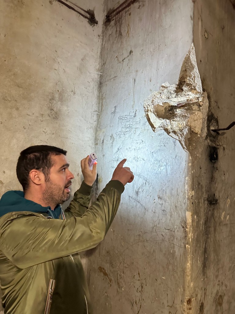
Pretty accurate.
Heading further in and down.
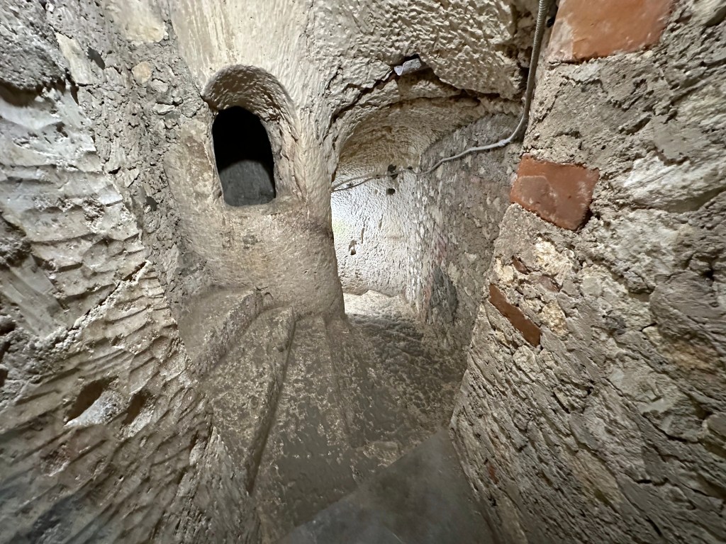
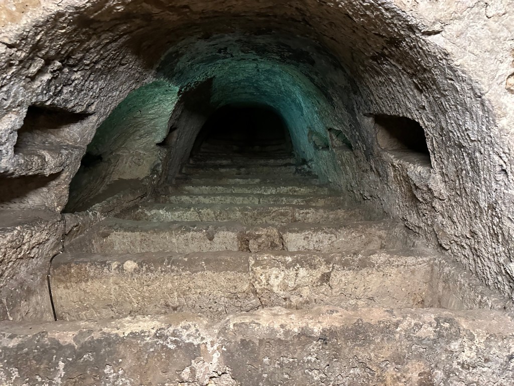
There’s a well carved into the rock that dates to around 734 BC, when Corinthian settlers first founded Syracuse. But in the 15th century, Jews living on Ortigia built a spiral staircase leading down to the well 18 meters below their synagogue on the street level above.
And converted the ancient Hellenistic freshwater spring well to their mikveh, a bath for ritual immersion to achieve purity. It is considered among the oldest surviving mikvehs in Europe.
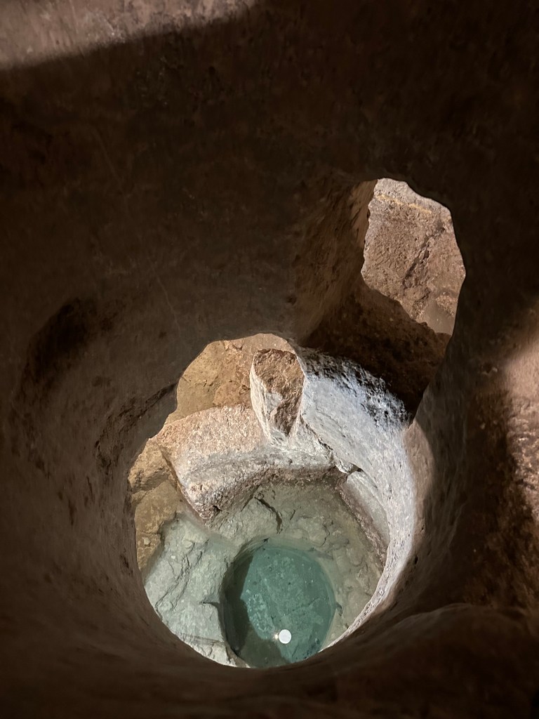
The community abandoned the mikveh after the 1492 expulsion of Sicily’s Jews under Spanish rule, and it was gradually forgotten for centuries until it was rediscovered and formally identified in 1977 beneath the church built atop the former synagogue site.
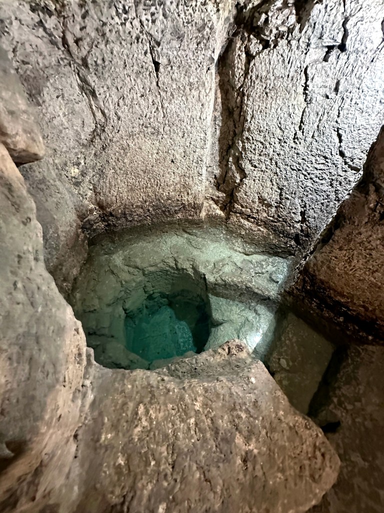
More layers of Sicilian cultural history that we definitely dug during our time on the island.

But wait, there’s even more!

Check out the Cathedral of Syracuse (Duomo di Siracusa). Just another ornamental Baroque church in Sicily, no?
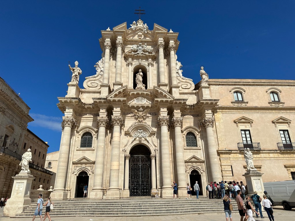
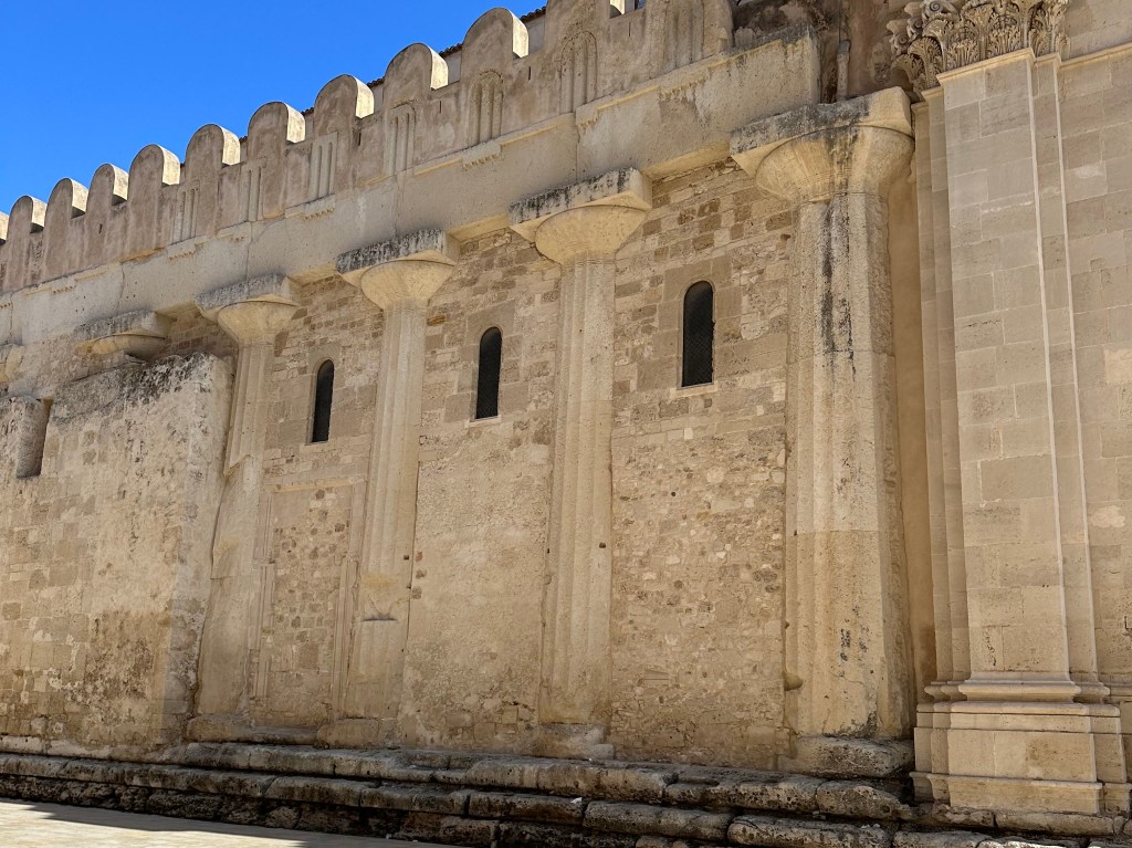
Maybe from the front facade, but when you peek around the corner. . .
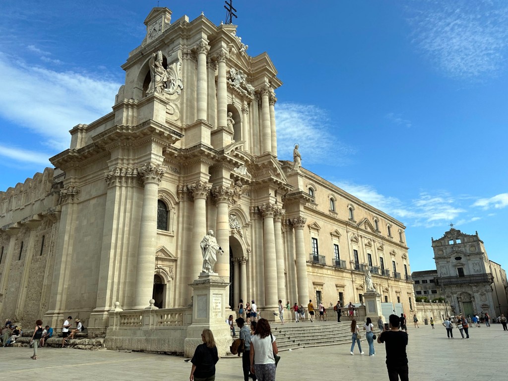
Look at this shit! It’s actually a 5th-century BC Doric temple originally dedicated to Athena by the tyrant Gelon after his victory at the Battle of Himera. A quick note on “tyrant” because we’ve used it twice in one post now and it probably gives the wrong impression. As articulated effectively in Sicily: Three Thousand Years of Human History (read while here, as noted in our Sicily leg intro post), a tyrant in the Greek colonies was simply someone who had seized or inherited sole rule rather than governing through the established aristocratic or democratic institutions of the city-state. In the Sicilian colonies, tyranny was often a pragmatic response to the intense pressures these communities faced: constant military threats from Carthage, competition between rival Greek cities, and the need for swift, unified military leadership that deliberative bodies could not always provide. So, not a tyrannical ruler; just one who took sole rule for himself.
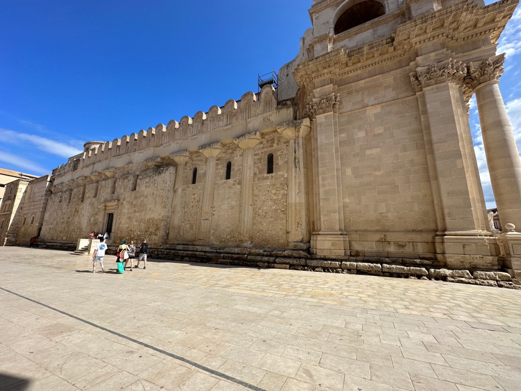
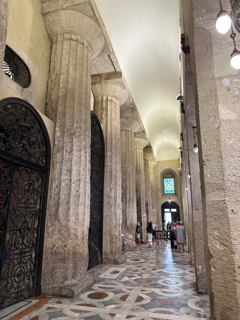
The best part about the temple-cum-duomo is the side wall, where the Normans simply filled in between the Doric columns of the Greek temple to create a Christian church, leaving them in place, rather than razing the place and rebuilding as was the norm. Oh, and in between, of course, the Arabs repurposed the temple as a mosque, of course.
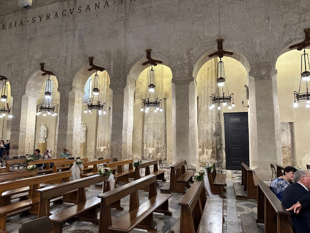
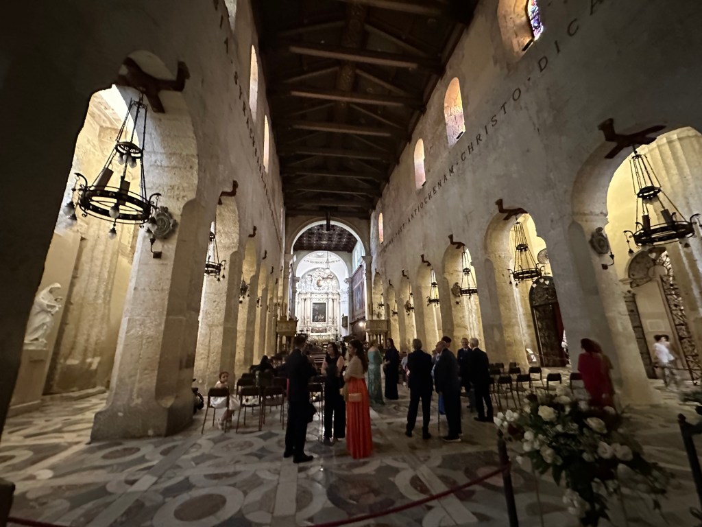
Inside the duomo, which was palpably medieval and beefy.
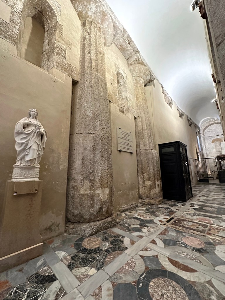
But still with the visually evident Doric columns of the original Greek temple.
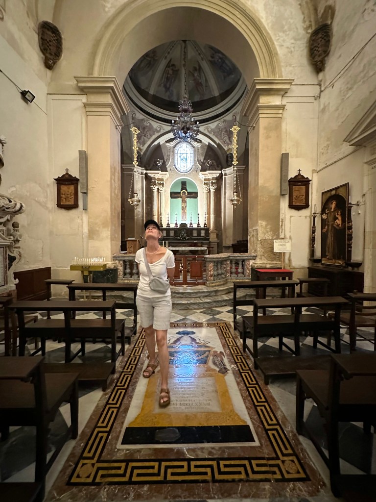
And more cool mortality motifs.
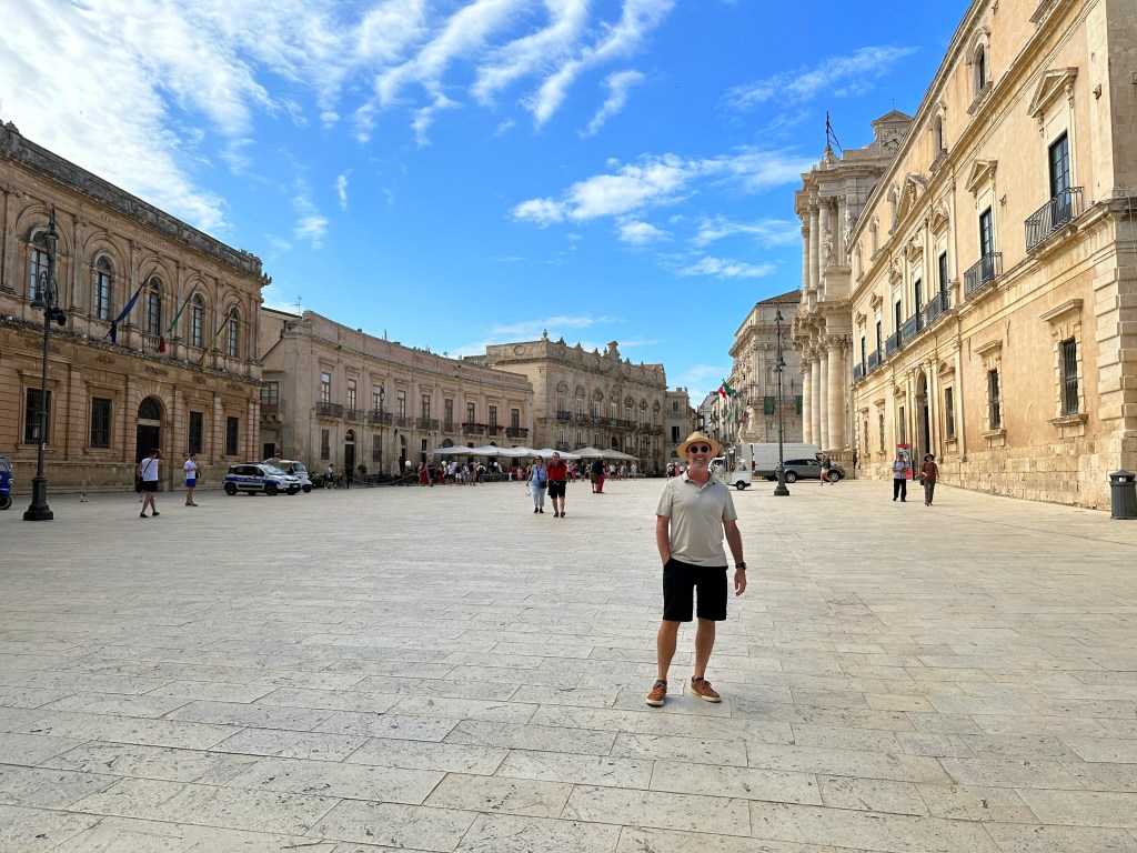
Out in the piazza of the duomo – pretty great day.
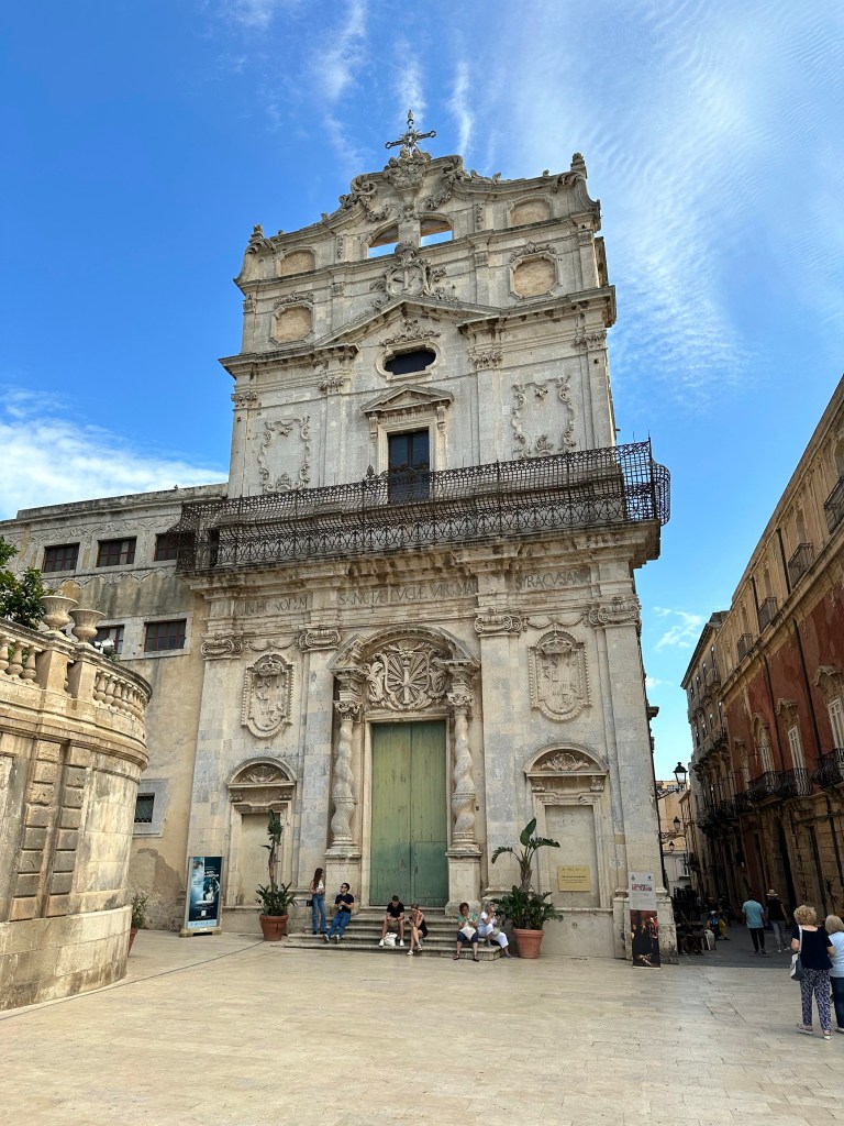
Dunno – some other picturesque church. With twisted columns like we saw in Lecce while biking through Puglia in 2013.
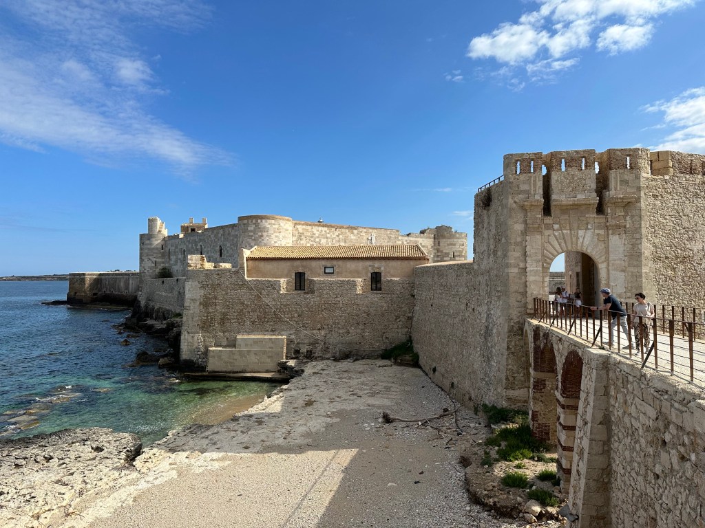
At the extreme southern tip of Ortigia lies Castello Maniace, a citadel named after the Byzantine general George Maniakes who seized Syracuse from the Arabs in 1038, although the present structure was built between 1232 and 1240 under Holy Roman Emperor Frederick II.
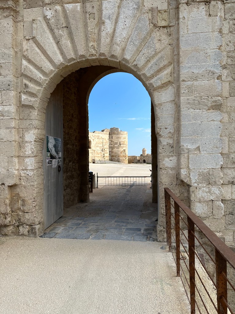
With four cylindrical corner towers, the massive castle later served as the site where Frederick of Aragon signed a truce with the Angevins in 1302.
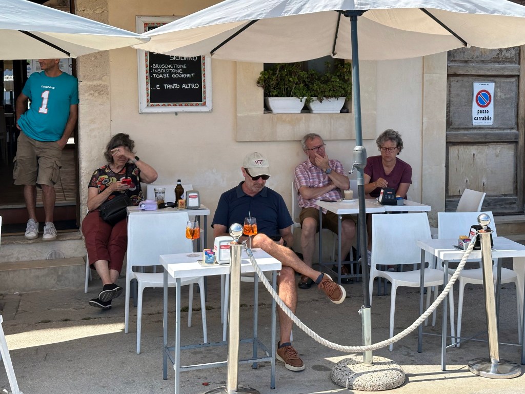
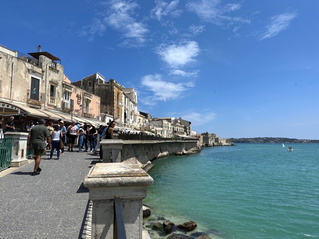
And just up the promenade? A casual joint for early aperitivos.
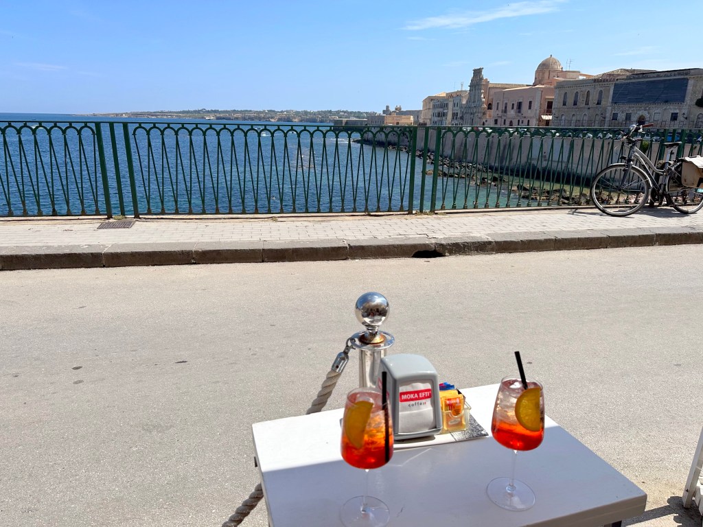
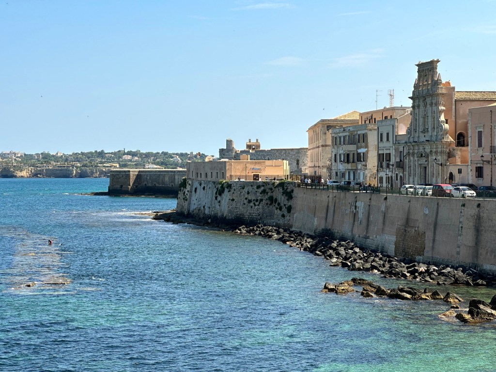
With a nice view of the aquatic activities available in the castle’s shadow.
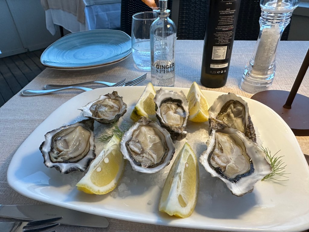
Some decent oysters, to be expected, with a first-time-encountered ginger spray, which was not expected.
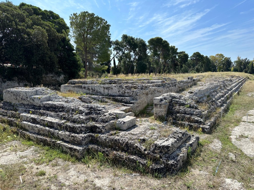
And now for something completely different: Greek and Roman ruins in Syracuse adjacent to Ortigia.
The Greeks built a theater at Syracuse around 470 BC, with a capacity of around 15,000 spectators and a diameter of nearly 140 meters.
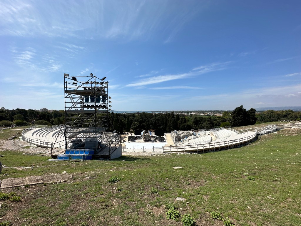
It was among the largest theaters in the ancient world, and served as the premiere venue for works by Aeschylus — including the world premieres of The Persians and The Women of Etna — as well as tragedies by Sophocles and Euripides.
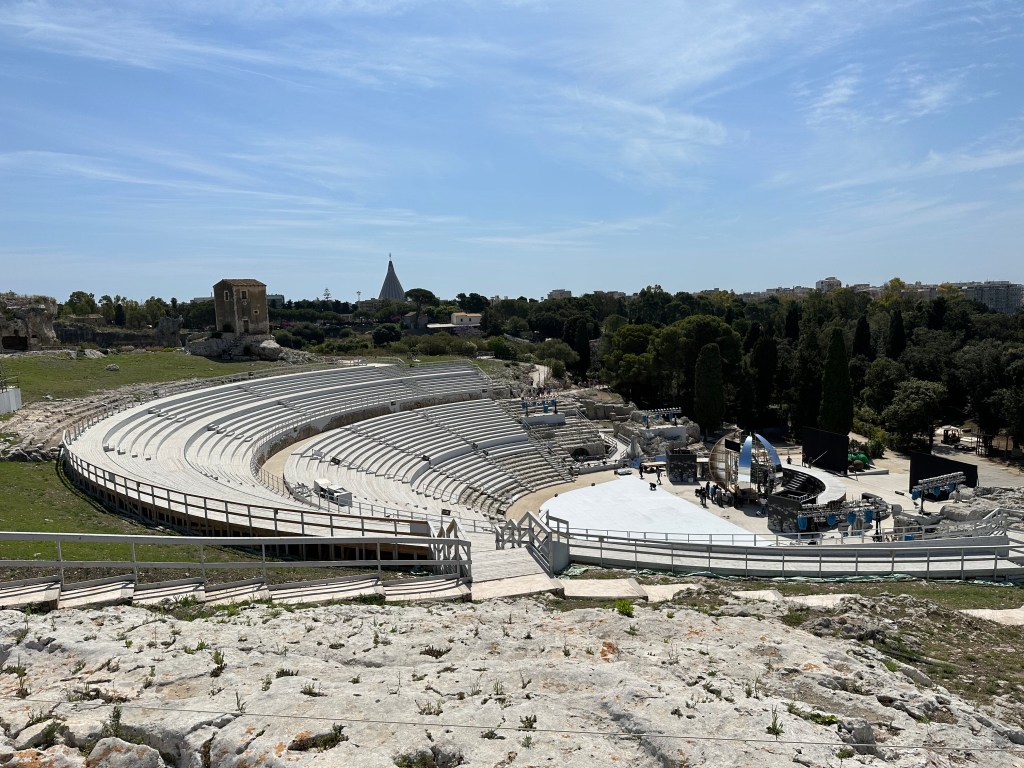
Carved directly into the rock of the Temenite hill, the theater was rebuilt in the 3rd century BC and renovated again in the Roman period, when traces of adaptations for gladiatorial battles and beast spectacles were added, and it continues to host a celebrated summer festival of classical drama to this day.
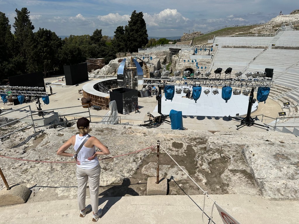
A necropolis above the Greek theater:
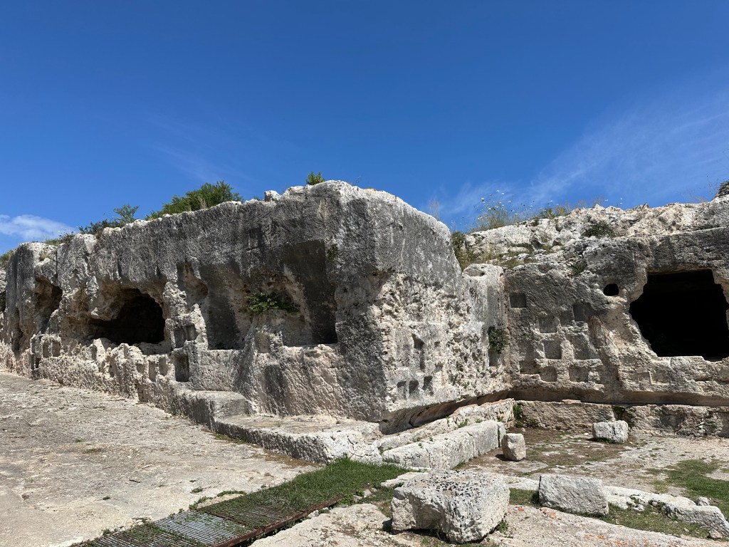
Containing the Via dei Sepolcrri – the Street of Tombs.
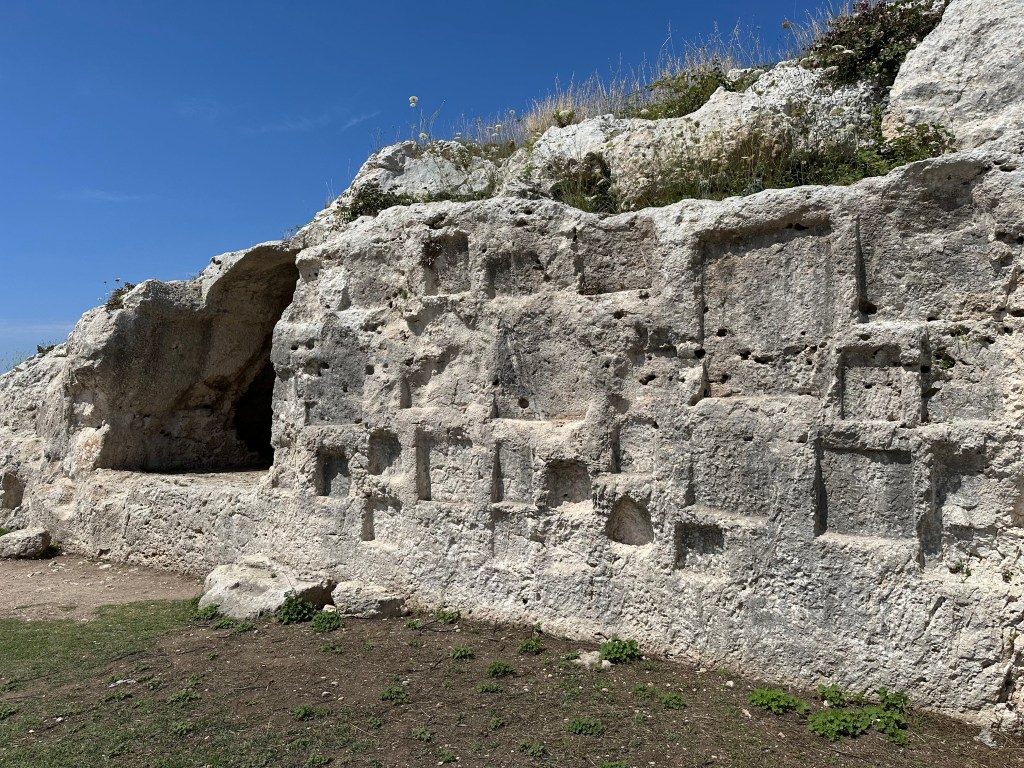
One of the tombs.
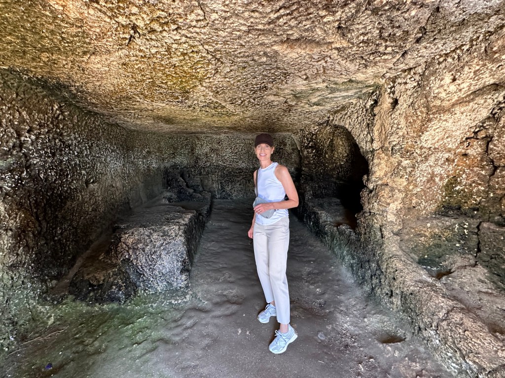
And the Grrotta del Nifeo, where the waters of the Anapo flow and where actors once prepared before performing in the theater.
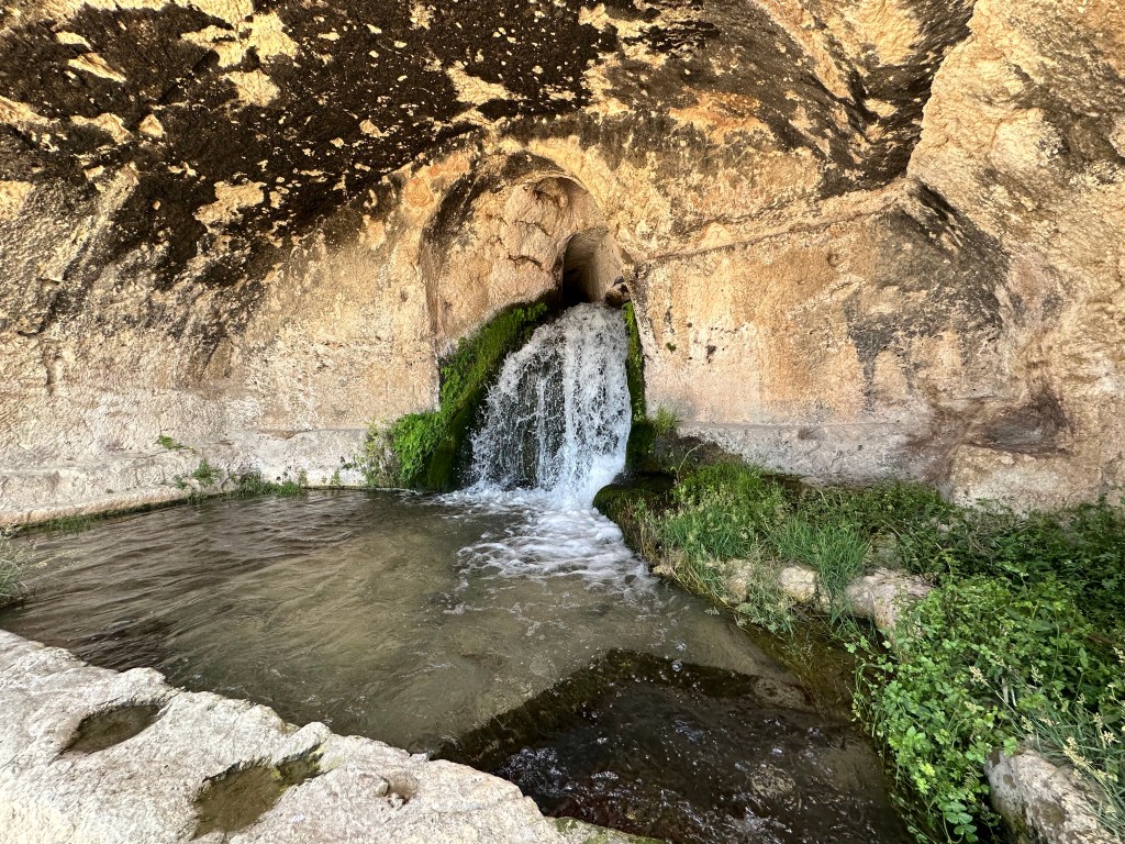
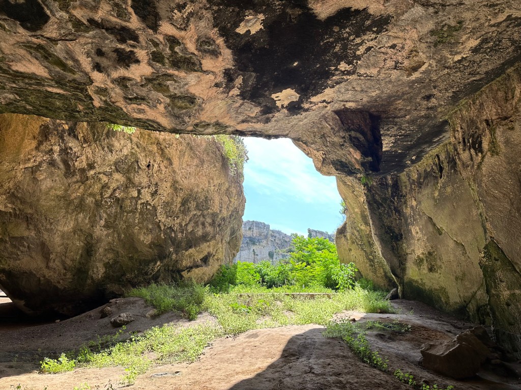
The Latomie del Paradiso — ancient stone quarries to the east of the Greek theater.
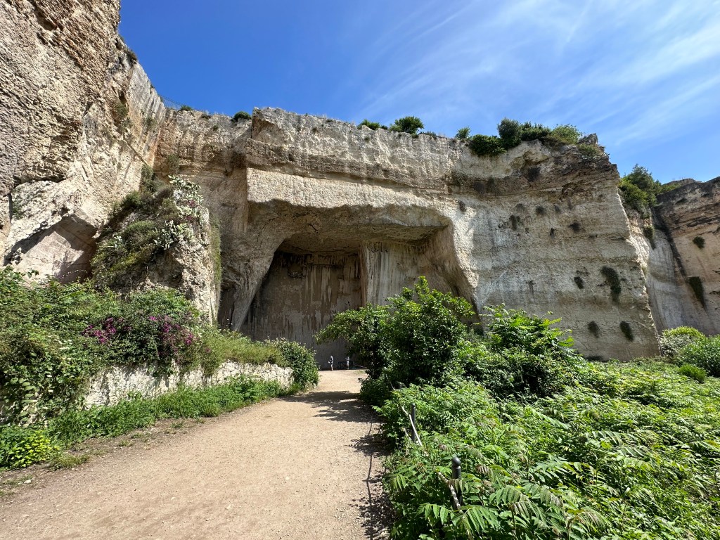
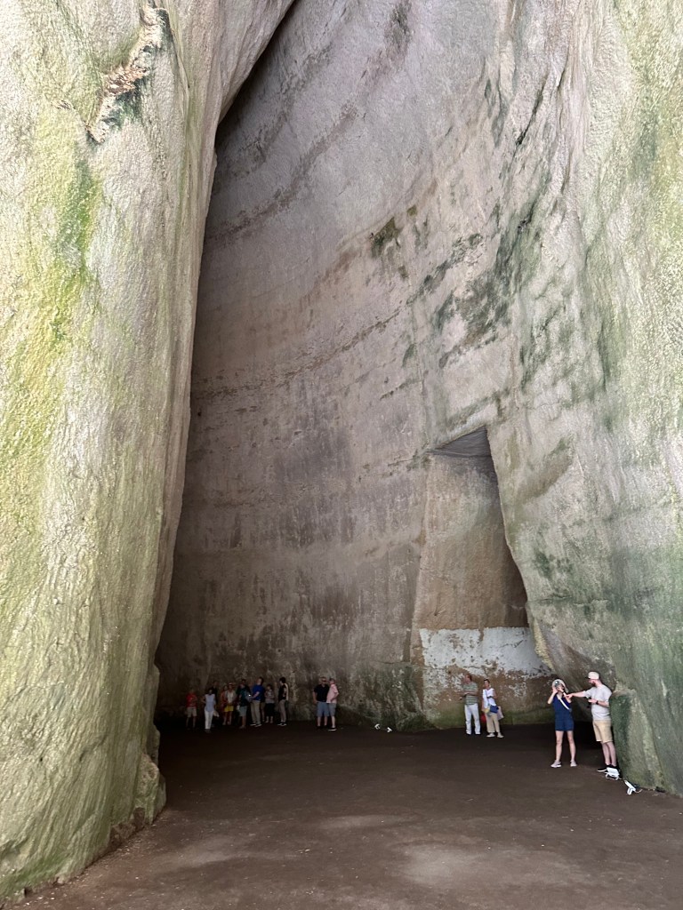
The Ear of Dionysius, a multistory-tall cave carved into the limestone:
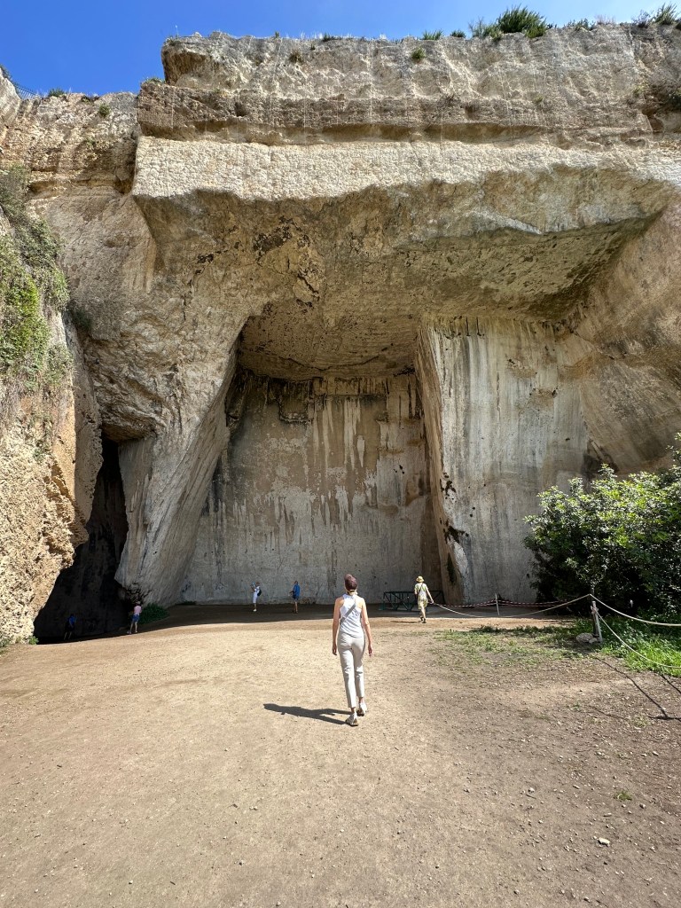
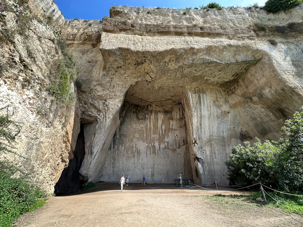
The cave’s extraordinary shape amplifies sound to remarkable effect.
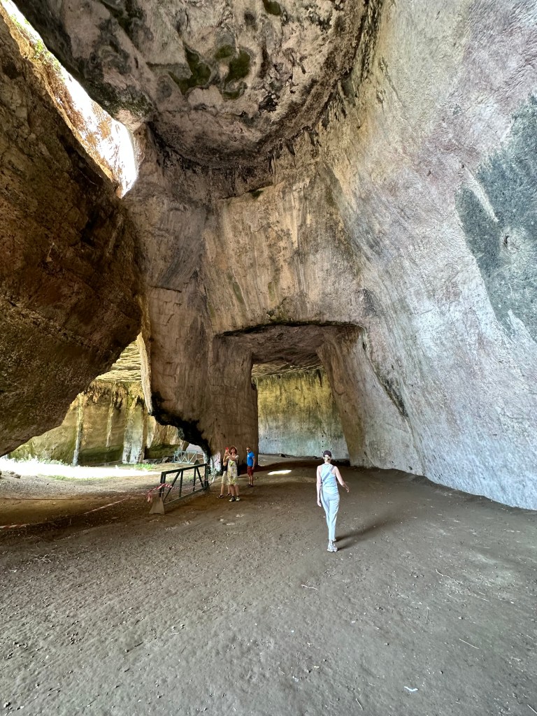
They were once used to imprison captured enemies of the tyrant Dionysius I, and are now lush with lemon groves and fragrant vegetation.
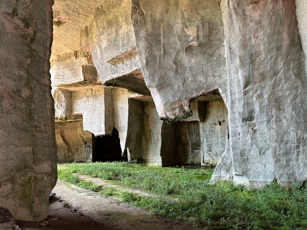
Evidence of quarrying:
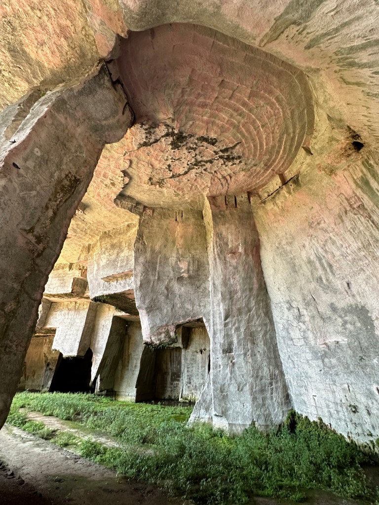
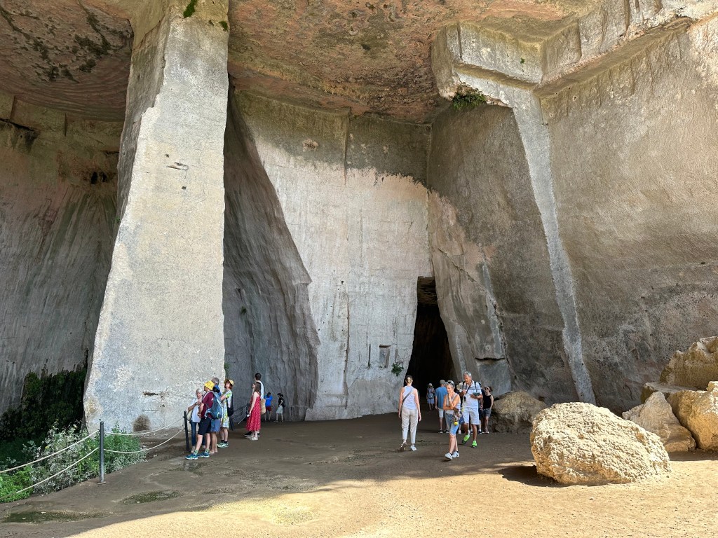
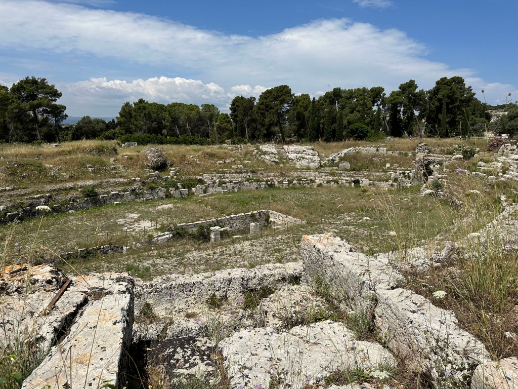
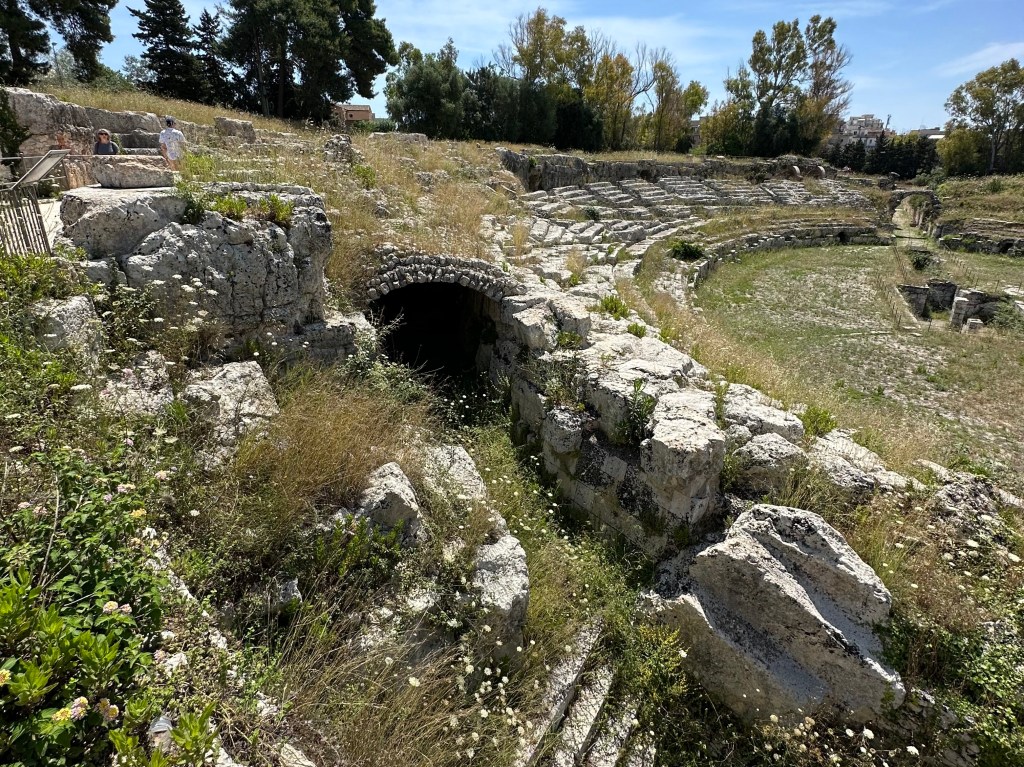
And across the archeological park, the remains of the Roman amphitheater:
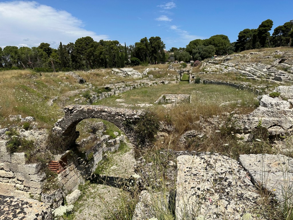
The Roman Amphitheater is largely excavated into the rock, utilizing the slope of a rocky crag, with a central arena featuring a large rectangular space originally covered and connected by underground passages to house the machinery and animals used during spectacles.
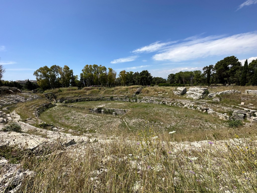
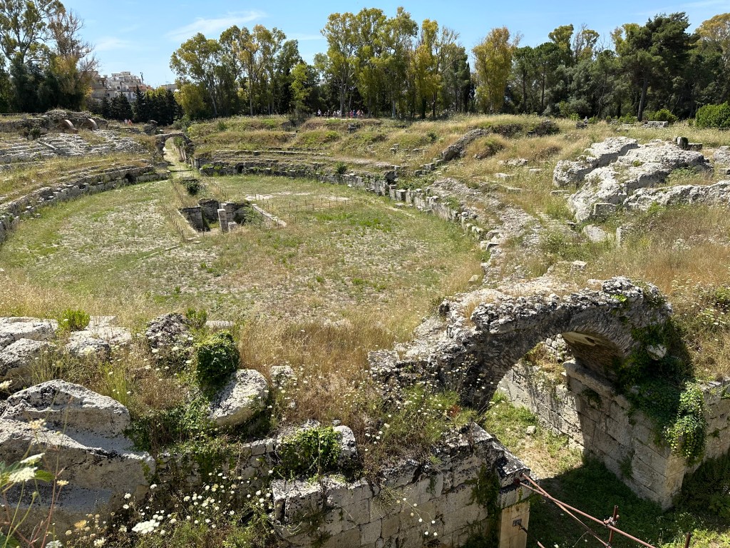
In the 16th century the Spanish, indifferent to its archaeological value, quarried much of the amphitheater’s large stone blocks to build the defensive city walls of Ortigia, leaving it in the partial, overgrown ruin visible today.
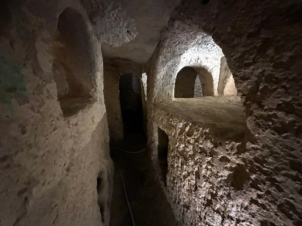
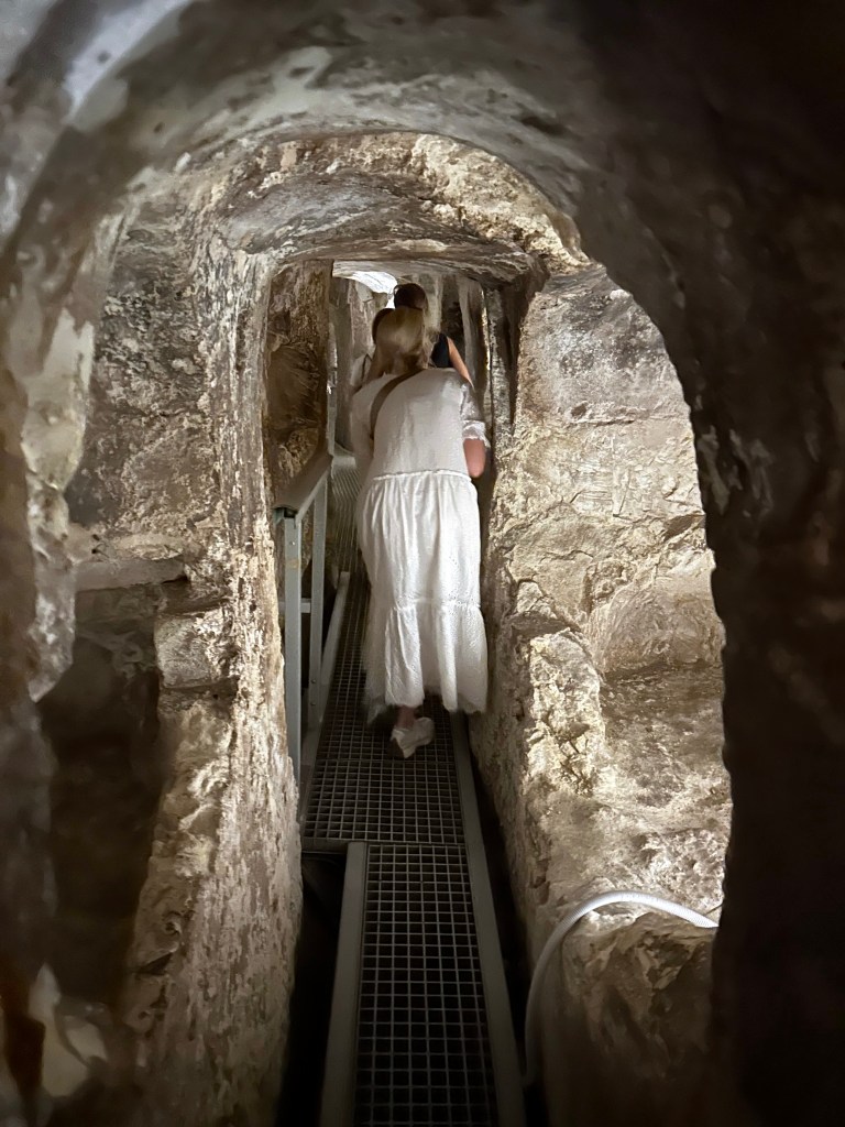
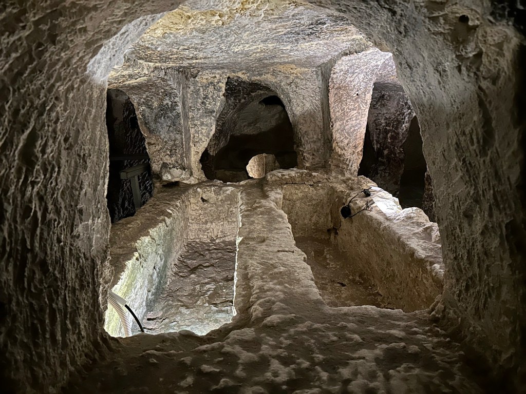
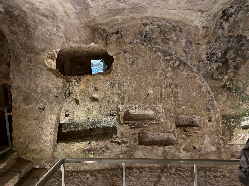
And on the way back from town? A little stop at the Catacomba di San Giovanni. The site sits beneath the ruined Basilica of San Giovanni — itself a place of extraordinary sacred history, where St. Paul is said to have preached and St. Marcian founded the first Christian community in Syracuse — and the catacombs were later used as an air-raid shelter during World War II, which is why no bones remain there today.
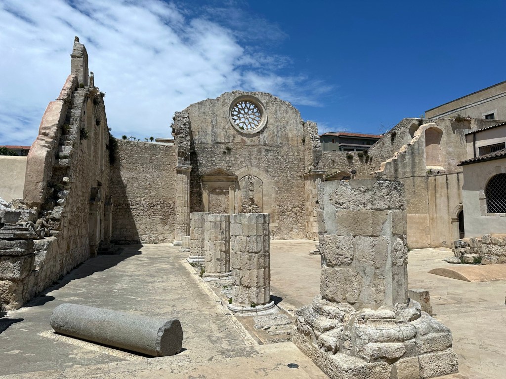
The Catacombs of San Giovanni were excavated for the most part between 315 and 360 AD, following the Edict of Constantine that established freedom of Christian worship, and remained in use as an early Christian cemetery until the end of the 5th century — making them, for size, the second largest catacombs in Italy after those of Rome.

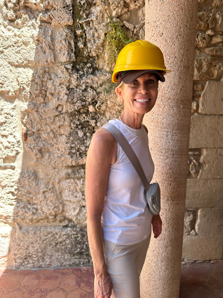
Unlike the subterranean adventure under Chiesa di San Filippo Apostolo, the catacombs here required us to don a little liability-reducing protective gear. (Also, we weren’t supposed to take pictures, just like at the monastery of creepy corpses in Palermo, but some urges cannot be resisted.)
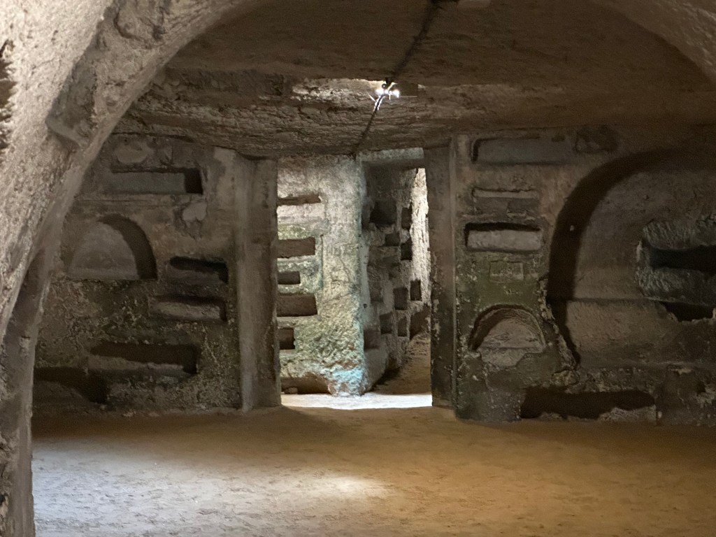
To save labor, the tunnels were initially opened along the route of a disused Greek aqueduct, traces of which are still visible on the ceiling of the main gallery, while existing cisterns along the route were converted into funeral chapels for distinguished families — a characteristically Syracusan layering of Greek infrastructure repurposed for Christian use.
The layout of the catacombs mirrors the Roman military camp, with a central gallery (the decumanus maximus) from which ten secondary corridors branch off, leading to four large circular rooms — the Rotonda di Antiochia, the Rotonda Marina, the Rotonda di Adelphia, and the Rotonda dei Sarcofagi — that were once the ancient cisterns of the Greek aqueduct.
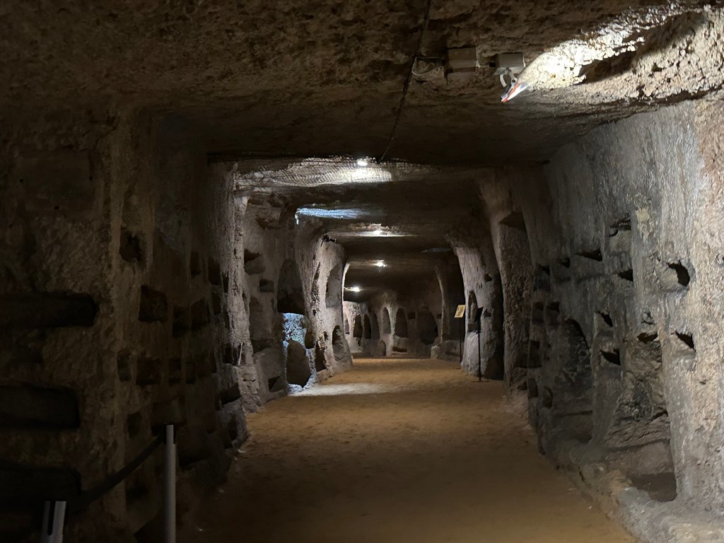
A nested set of at least 12 tombs in a niche along one wall of the catacombs; the whole labyrinth was pocked like this.
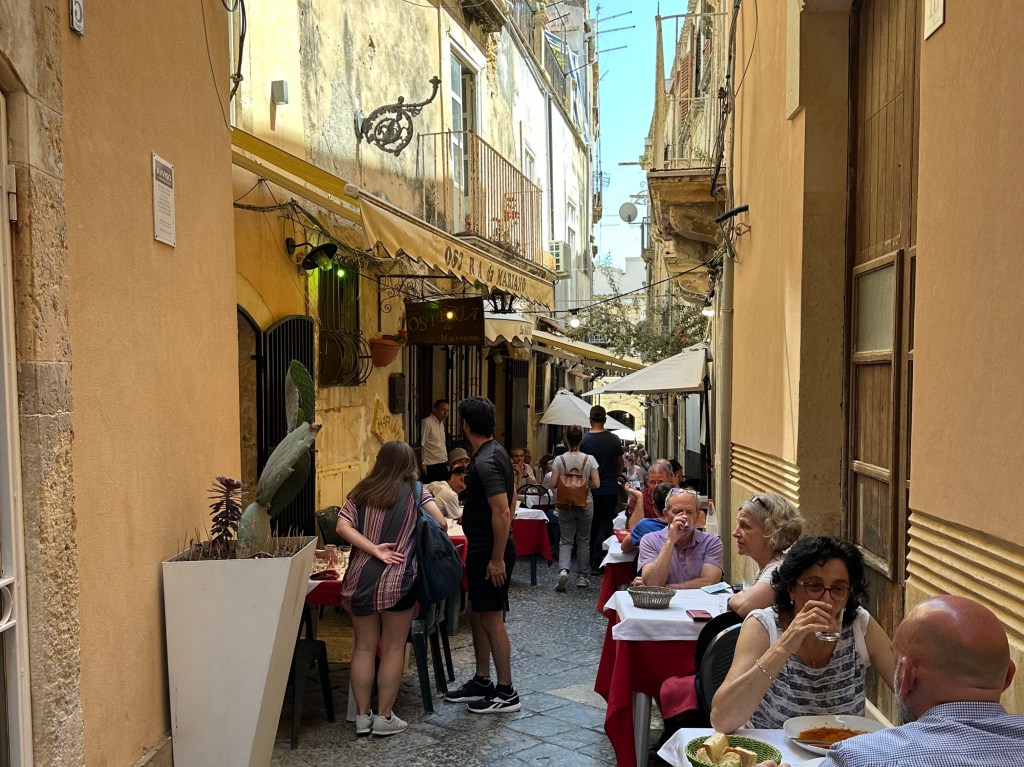
Back in town for some lunch – pretty atmospheric place.
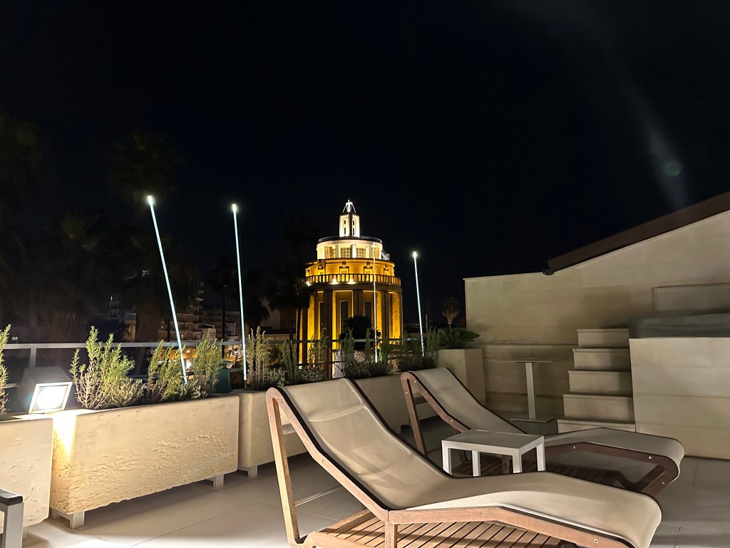
The last of our two nights here, with a few nightcaps on the hotel rooftop.
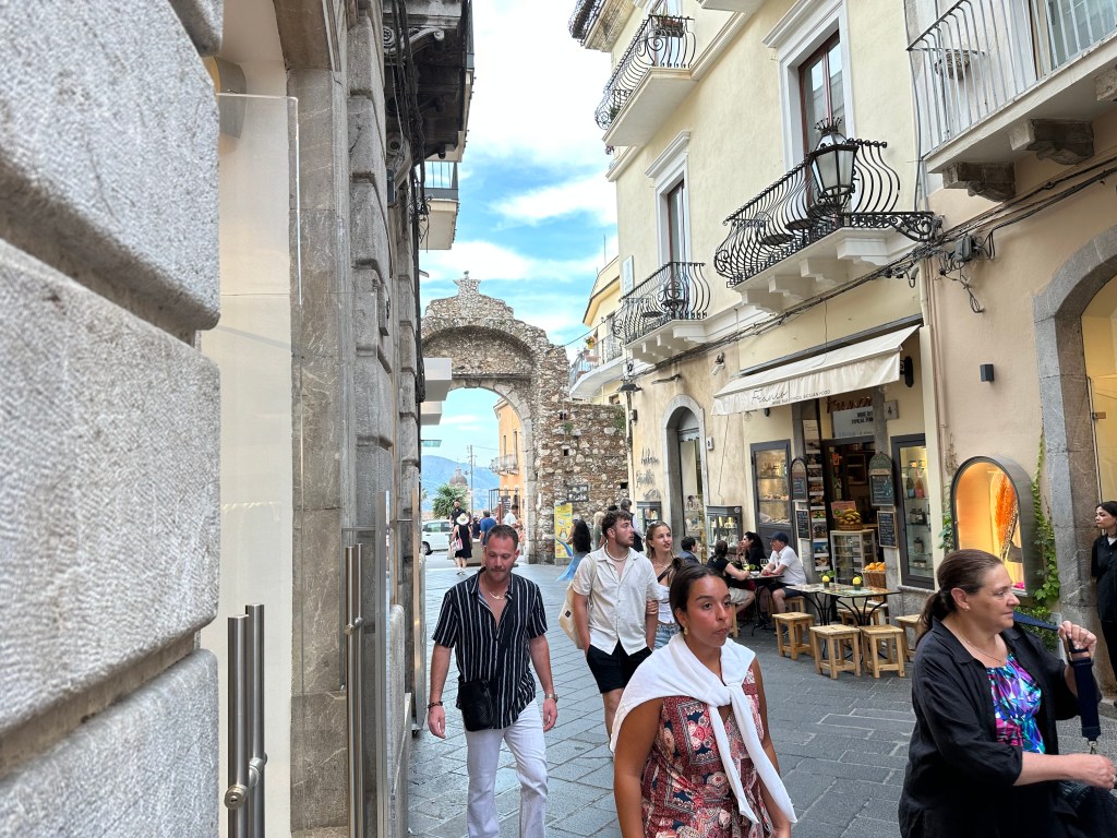
Onward to Mount Etna!
Categories: A Prolonged Foray to Europe, Sicily | Tags: , , , , , , , , , , | Leave a comment

A Prolonged Foray to Europe: Taormina, Sicily (Prima Parte)

The charming town of Taormina was to be the final stop on the Sicily leg of our prolonged foray. (Map and overview of the full foray is posted here.) If you’re following along, we have only three legs left after Sicily.

Perched high above the Ionian Sea, Taormina was founded by the Sicels and later became an important Greek settlement after refugees from the nearby colony of Naxos just south of Taormina’s current location relocated there in the 4th century BC (stay tuned later this year for a post covering travel to Naxos the Greek island, which is upcoming). The town flourished under Greek and then Roman rule, leaving behind its most famous monument, the spectacular Ancient Theatre of Taormina (which we’ll get to in the next post), whose stage frames views of both the sea and Mount Etna. Through the Byzantine, Arab, Norman, and Spanish periods, Taormina retained its strategic hilltop position and developed into one of Sicily’s most historically layered and visually dramatic towns.

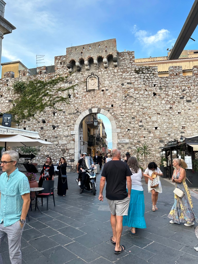
Taormina’s 12th-century Porta Messina on the north end of town (where you would enter the town if you were coming from Messina to the north in the olden days; or from the gondola at sea level now):

And on the other end of town, the 15th-century Aragonese Porta Catania (replete with the Spaniards’ coat of arms), facing south to Catania (where we’d fly out of in several days):

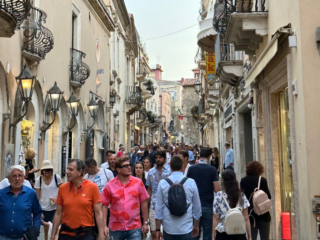
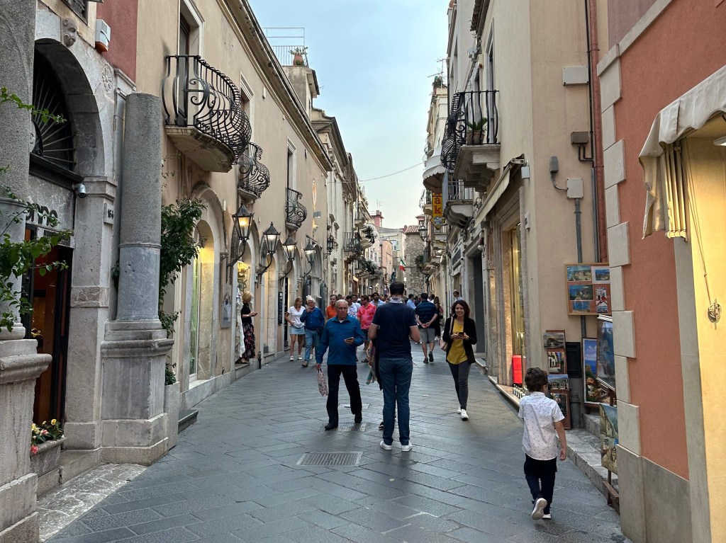
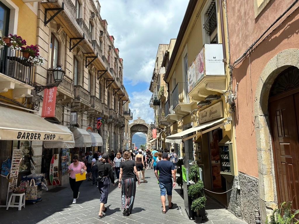
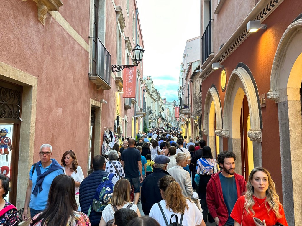
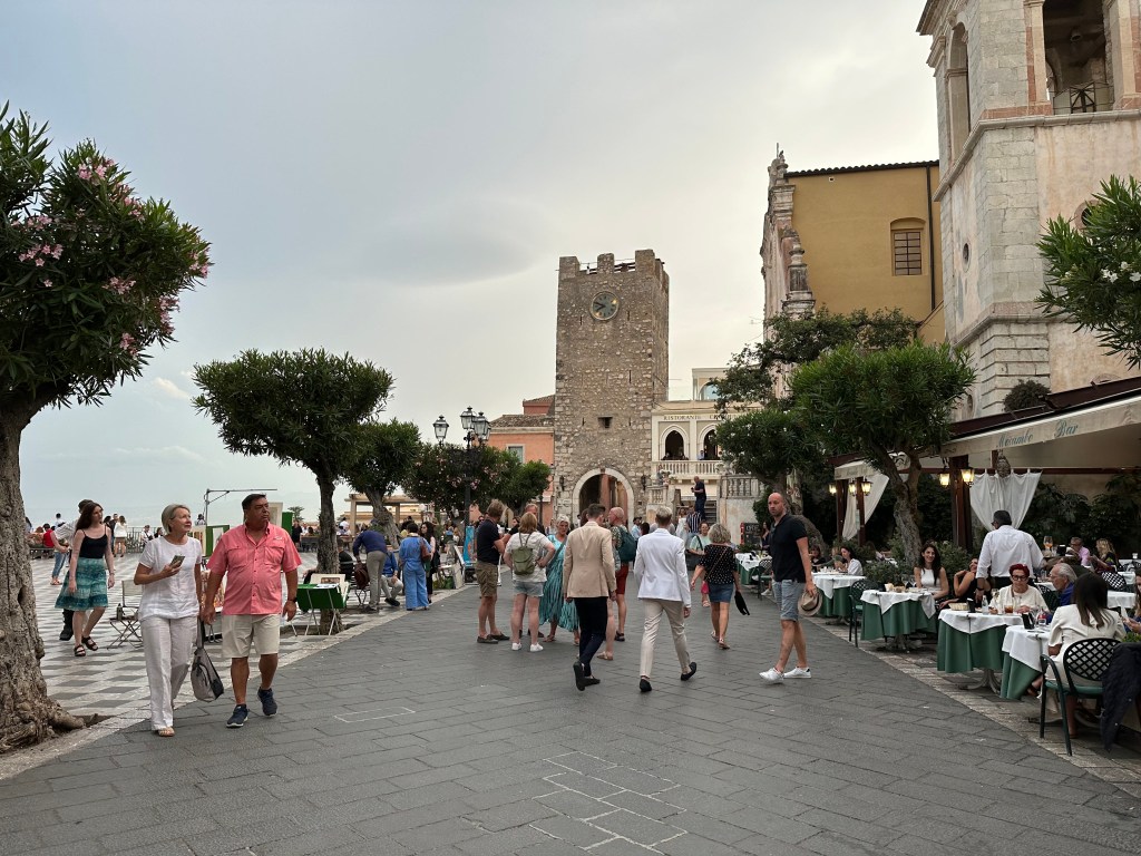
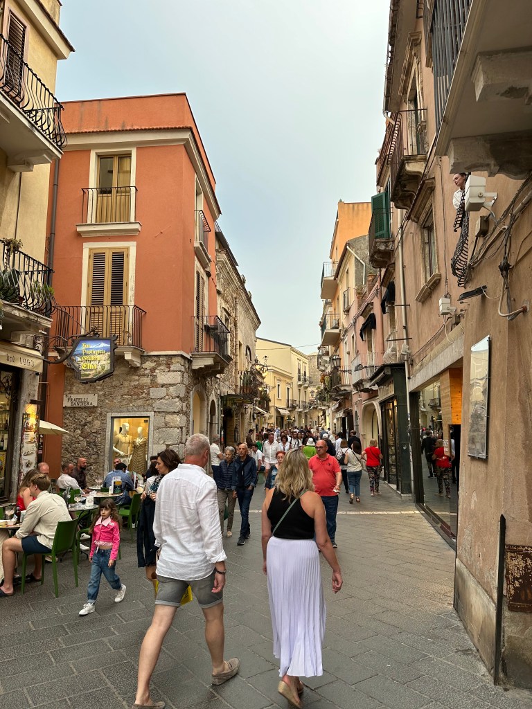
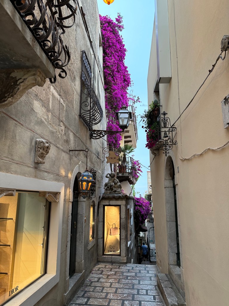
And snaking between the two? Corso Umberto, Taormina’s main street.

Like the one-road Baroque town of Noto visited a week or so earlier, Taormina indeed is replete with streets, but there’s only one main drag and singular main event.

But what a fantastic main drag it is – way more restaurants, bars, and shops than Noto and incredibly appealing. Beginning in the 19th century, Taormina became a celebrated stop on the European Grand Tour, attracting artists, writers, aristocrats, and intellectuals drawn by its scenery, mild climate, and classical ruins. Today it remains one of the Mediterranean’s most stylish destinations, combining luxury hotels, elegant boutiques, refined dining, and breathtaking views in a setting that feels both sophisticated and timeless.

The corso appears packed here, but everything’s flowing and there was never any sense that we had embroiled ourselves in an overtaxed Positano-type situation.

Plus, the occasional religious festival procession winding its way down the corso – in this case, celebrating the Feast of Saint Anthony of Padua (that’s him on the litter); we think maybe they’re taking the lazy way out of this by proceeding with a litter on wheels instead on shoulders, like in Godfather II and Godfather III:

And around the midway point on Corso Umberto lies Piazza IX Aprile and Porta di Mezzo – the midway tower:

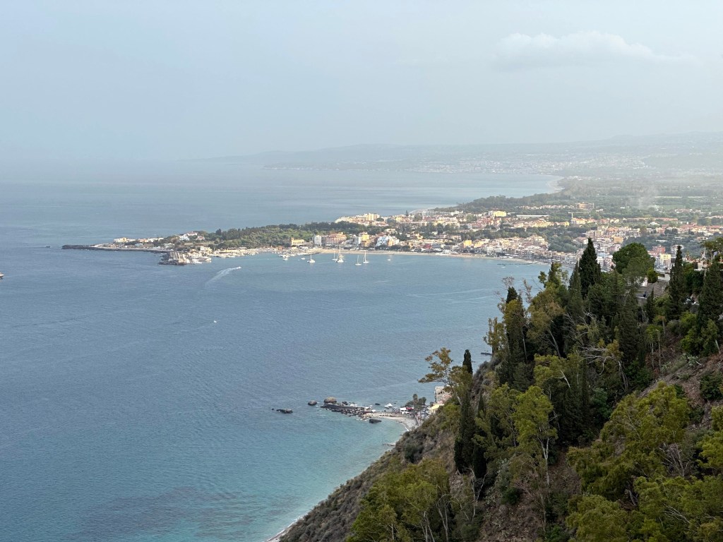
Because Taormina is perched on a cliff, Piazza IX Aprile offers a great belvedere with views of the coast below:

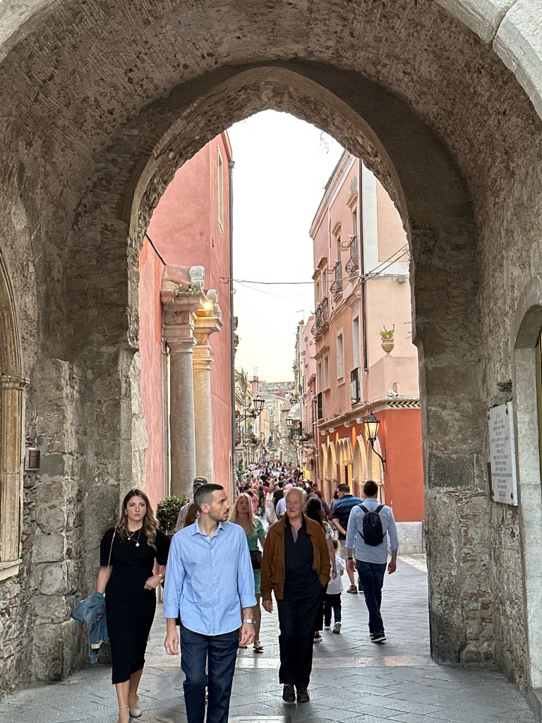
View into the corso under the clock tower:

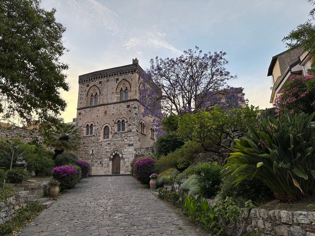
Medieval palazzo off the corso, with a vibrant jacaranda tree in bloom, to boot.

Taormina’s second square (second to Piazza IX Aprile, of course): the Piazza Duomo:

There’s the duomo. And, uh, there’s the Quatro Fontanes (Four Fountains):

Topped by a female centaur – apparently the historic emblem of Taormina. She wears a crown and holds a scepter in one hand and a globe surmounted by a cross in the other—symbols of civic authority and power. Regardless, super weird.

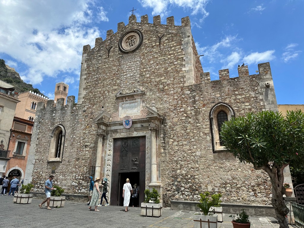
Heading to the duomo, the Cathedral of Saint Nicholas of Bari, the popular bishop-saint whose cult spread widely throughout southern Italy and Sicily.

The duomo looks more like a castle than a church. Built from massive stone blocks and topped with battlements, it was designed as an ecclesia munita—a fortified church capable of providing refuge during periods of instability. This defensive appearance earned it the nickname “Cathedral Fortress” and reflects the turbulent medieval history of Sicily.

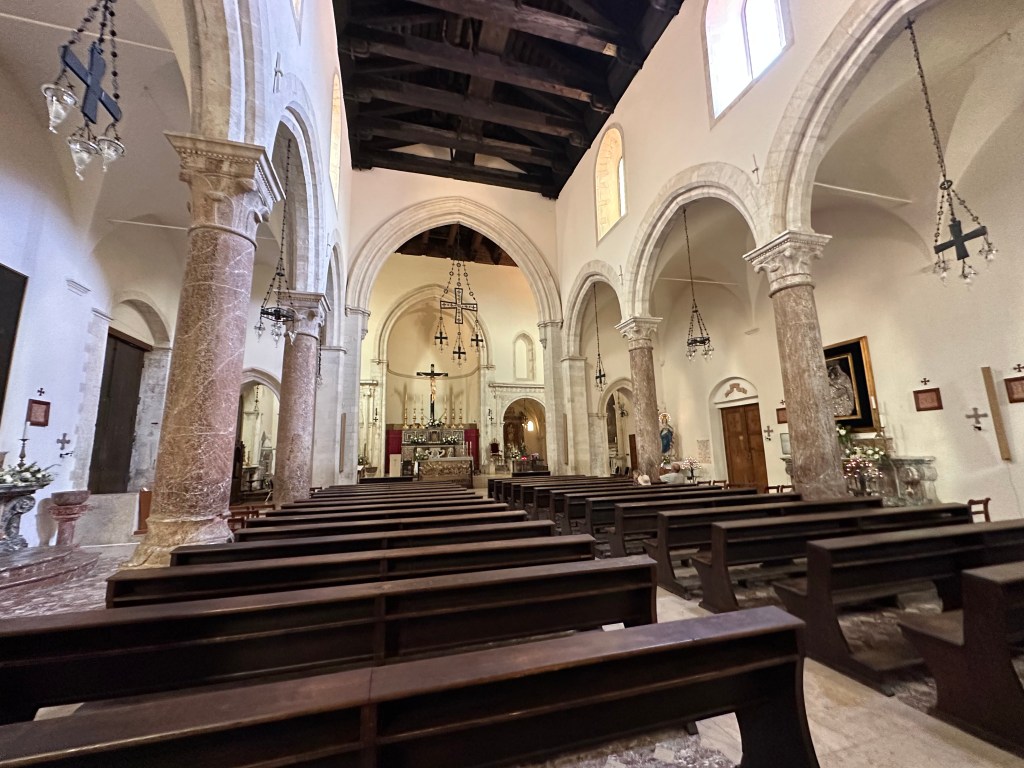
But the interior of the 13th- and 14th-century duomo looks pretty standard.

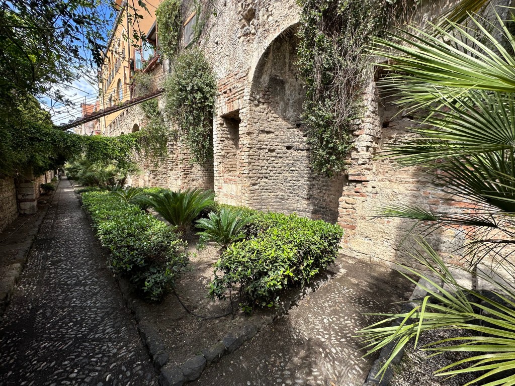
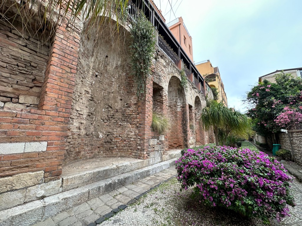
Down (and to the left) we encounter the 2nd-century AD Roman “Naumachie,” a long brick wall punctuated with niches, likely to house statues. Buried and unknown for a millenia and a half, the moniker was incorrectly (just like in Agrigento) applied by a Dutch scholar in the 18th century, who figured – and why not? – that the structure hosted naval battles.

The massive wall did function as the barriers of a reservoir to supply a gymnasium or massive municipal fountain complex.

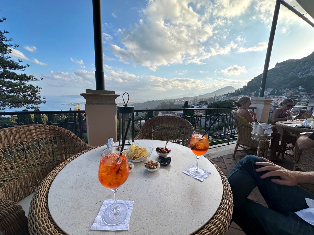
But enough history; aperitivo hour is approaching with the setting sun and we needed to locate a decent perch.

This will do.

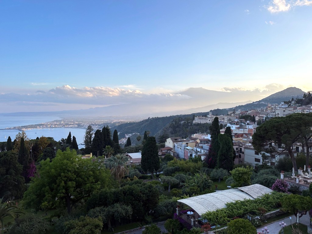
With a great view over the coast and also a glimpse of what once was a 14th-century Dominican monastery. . .

But now houses the Four Seasons and the setting for Season 2 of White Lotus (they were closed to outside visitors due to a private event when we were there, otherwise we would have checked it out).

Pretty great town.

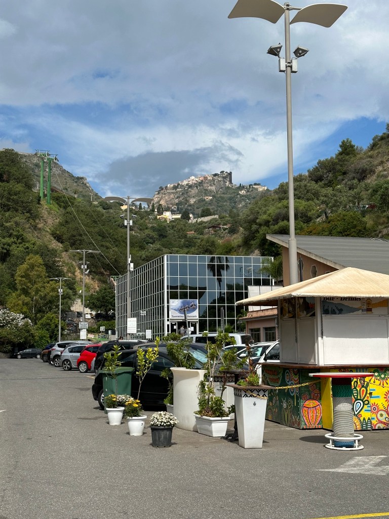
To actually reach town (through Porta Messina), we had to walk about 2 blocks from our AirBnB to catch the gondola at this station, since Taormina is high up on a cliff, visible at the top of the pic:

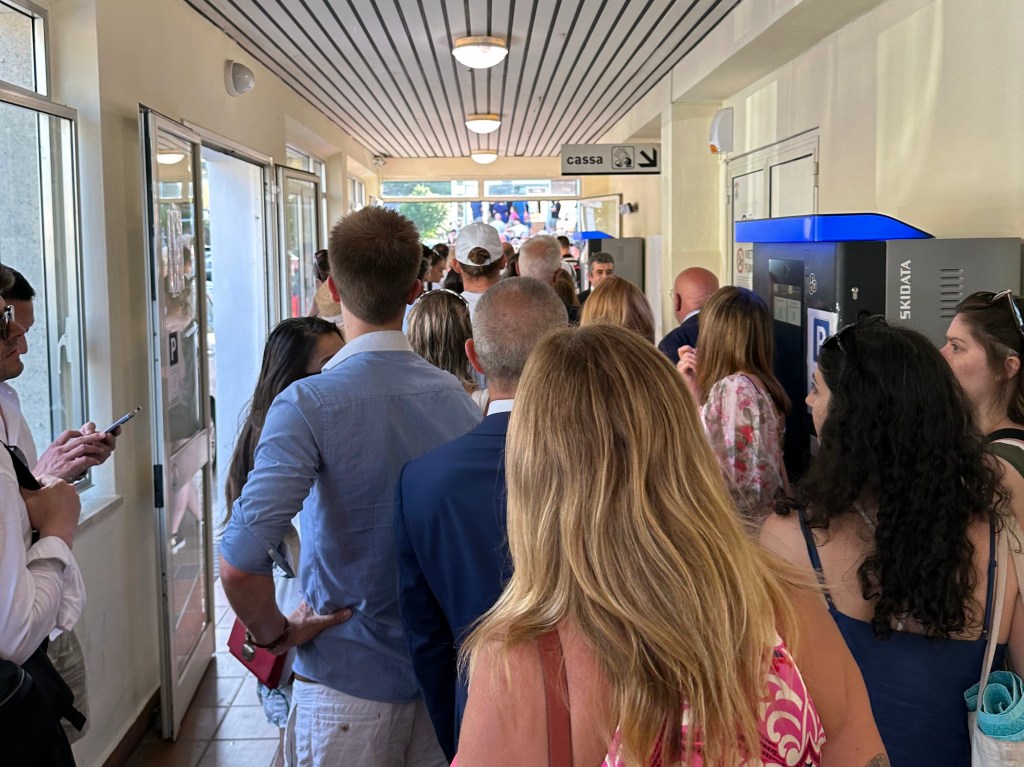
You grab your tickets while in line, and head on up; we never had to wait more than a few minutes – pretty efficient system.

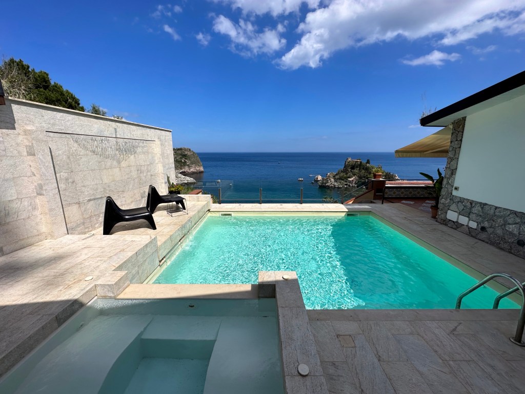
Why would we stay a gondola ride from town instead of nestled within centro storico? Because this:

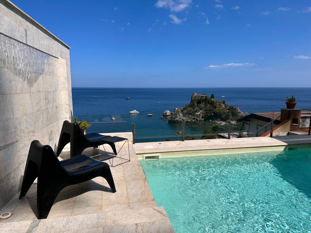
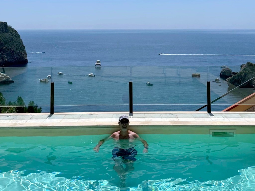
Pretty great setting in the Sicilian heat.

Because we were fixated on lodging with pools, we snagged this thing probably 6 months before we headed off for our prolonged foray.

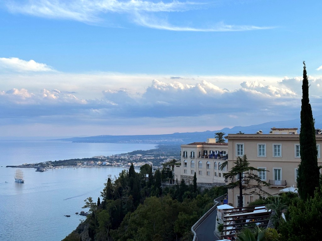
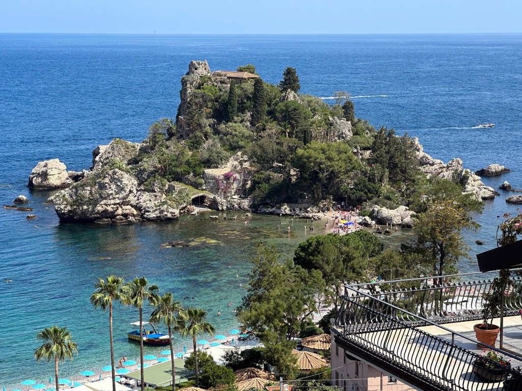
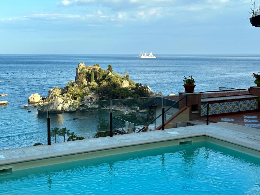
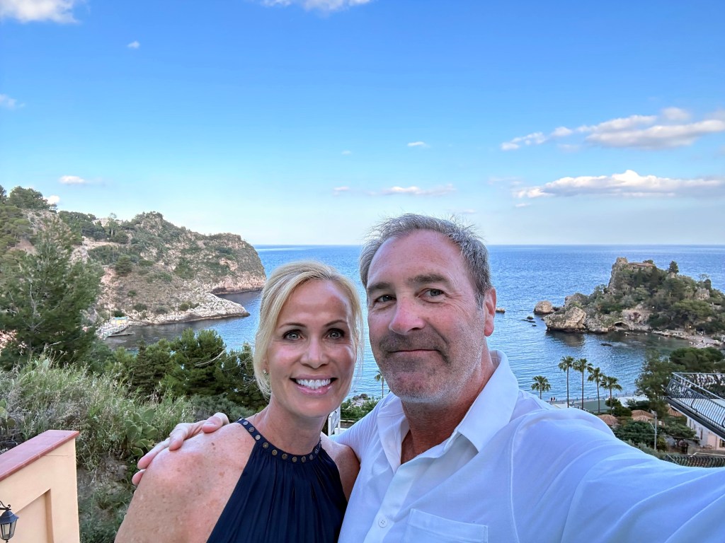
Great view of Isola Bella – Beautiful Island. King Ferdinand I of the Two Sicilies donated the island to the town of Taormina in 1806. In 1890, Florence Trevelyan purchased it, built a small retreat, and transformed the island into a botanical sanctuary filled with tropical and subtropical species that thrived in Sicily’s climate. The Sicilian government acquired the island in 1990, and it later became a protected nature reserve. And unofficial symbol of Taormina.

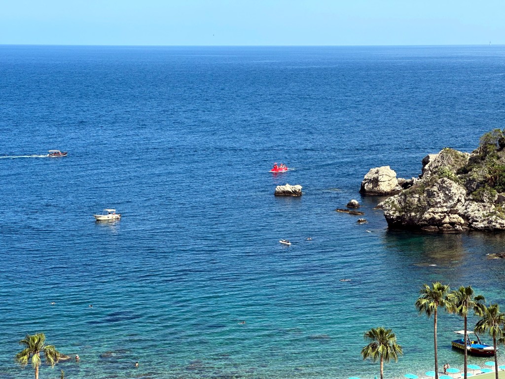
Oh, and we’d occasionally see the goofy tourist sub (ubiquitous in coastal towns, it seems) go out and back from our place.

And also the occasional yacht.

Definitely the right place to stay for our Taormina tour.

Categories: A Prolonged Foray to Europe, Sicily | Tags: , , , , , , , , , , , , , , | 2 Comments

A Prolonged Foray to Europe: Valletta Area, Malta

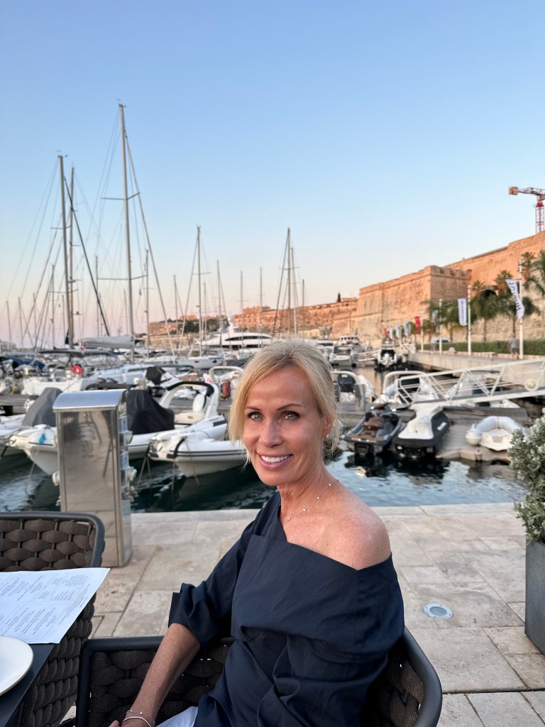
From Taormina, Sicily, we flew a very short hop to the island nation of Malta, country no. 79 for WolfeStreetTravel (and one we’d been eying ever since planning The Smallest 5 for the Big 5-0 trip to Europe’s micronations in 2017).

Malta also represents the third-to-last leg of our post-retirement prolonged foray to Europe trip, the overview and map of which are posted here. We’d spend 4 nights in Malta, and the dry little island nation did not disappoint.

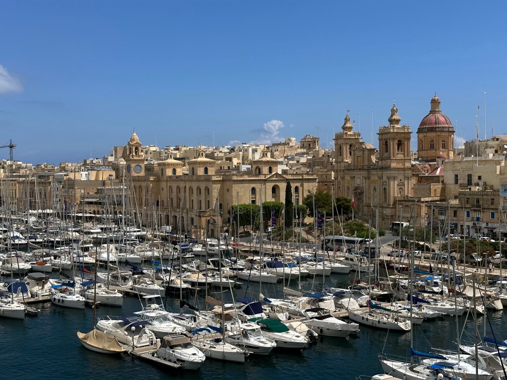
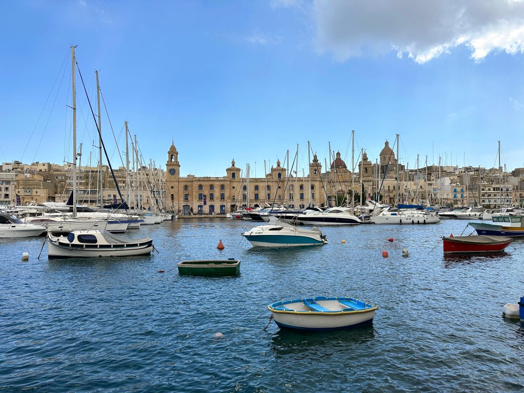
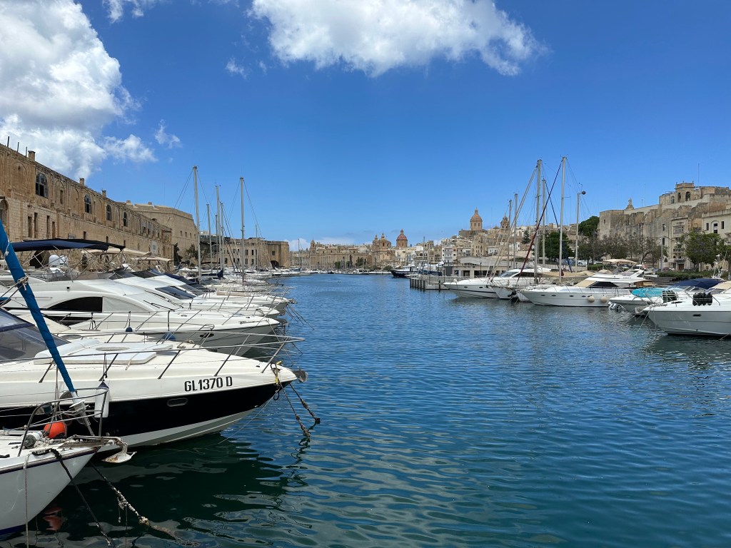
Malta’s Grand Harbor upon arrival:

The island’s history includes Phoenician, Carthaginian, and Roman occupation before the Arabs transformed it between 870 and 1090 AD, leaving a lasting imprint on the Maltese language, which remains Semitic at its core.

The Normans then took Malta, beginning a long stretch of Christian rule that culminated in 1530 when Holy Roman Emperor Charles V granted the island to the Knights Hospitaller after the order lost their previous base of operations, the island of Rhodes, to the Ottoman Turks. (The emperor also granted them the city of Tripoli in modern Libya, but the Ottomans ran them out of town there, as well, leaving them with only Malta [and a small town in the Holy Roman Empire, which they controlled until the early 19th century and Napoleon]).

While under Hospitaler control, the Ottomans continued their westward expansion across the Mediterranean, and targeted Malta as their next conquest. In 1565, the Hospitallers – left essentially to fend for themselves – repelled a prolonged Ottoman siege in one of history’s most dramatic defensive stands. Pretty epic tale. (And a good read – we finished Empires of the Sea: The Siege of Malta, the Battle of Lepanto, and the Contest for the Center of the World before we arrived to give us a good feel for what we were getting into; definitely recommended if you’re into that sort of thing.) After fending off the siege, the Hospitalers transformed some fortifications opposite the Grand Harbor into their capital city and named it Valletta after Jean Parisot de Valette, their Grand Master, who led the defense of the island.

Britain took control of Malta in 1800 after helping the Maltese expel the French forces that had occupied the island following Napoleon Bonaparte’s invasion in 1798. Although Britain initially intervened as an ally, it retained Malta because its central Mediterranean location and excellent natural harbor made it a vital naval base for protecting British trade routes and projecting military power. Britain refused to return the island as required by the Treaty of Amiens, and Malta remained a British colony until it gained independence in 1964.

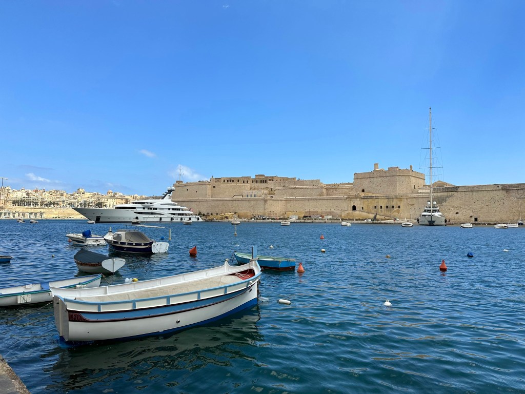
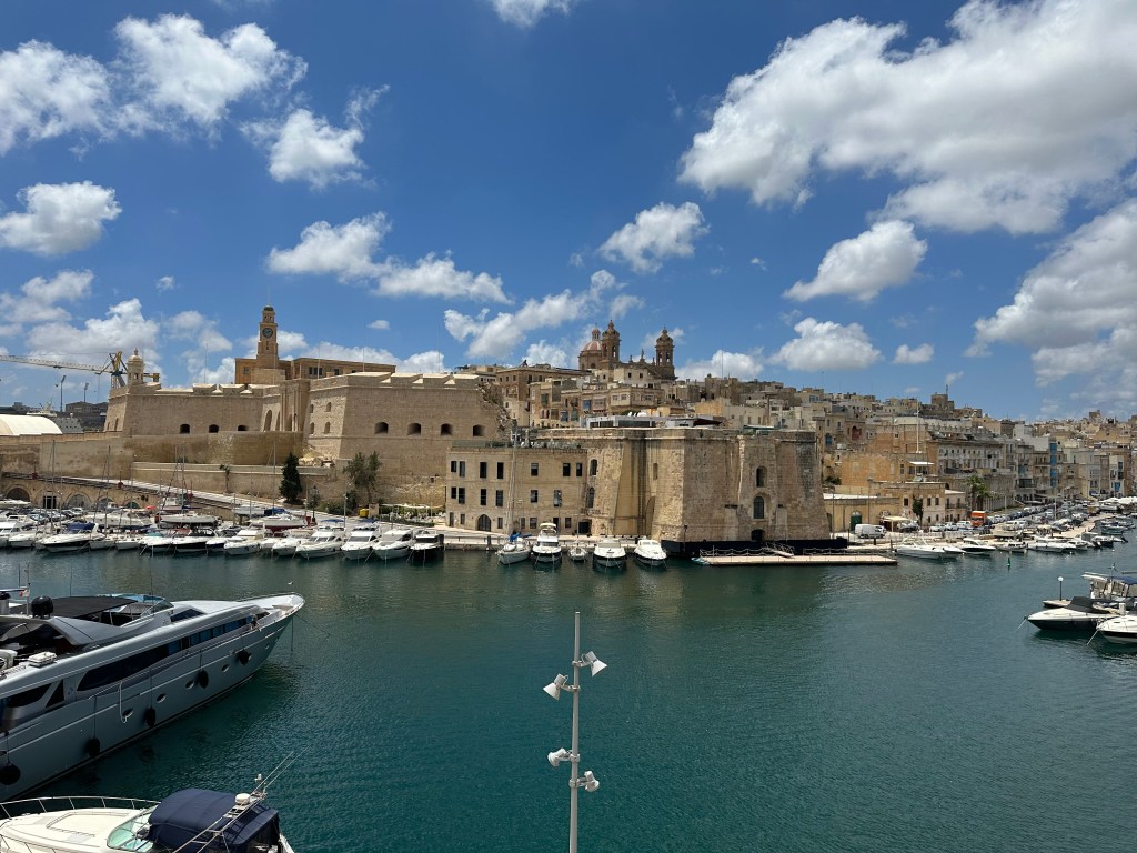
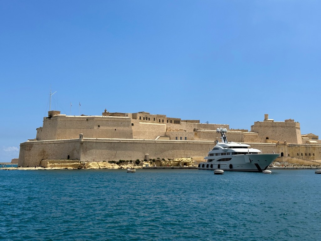
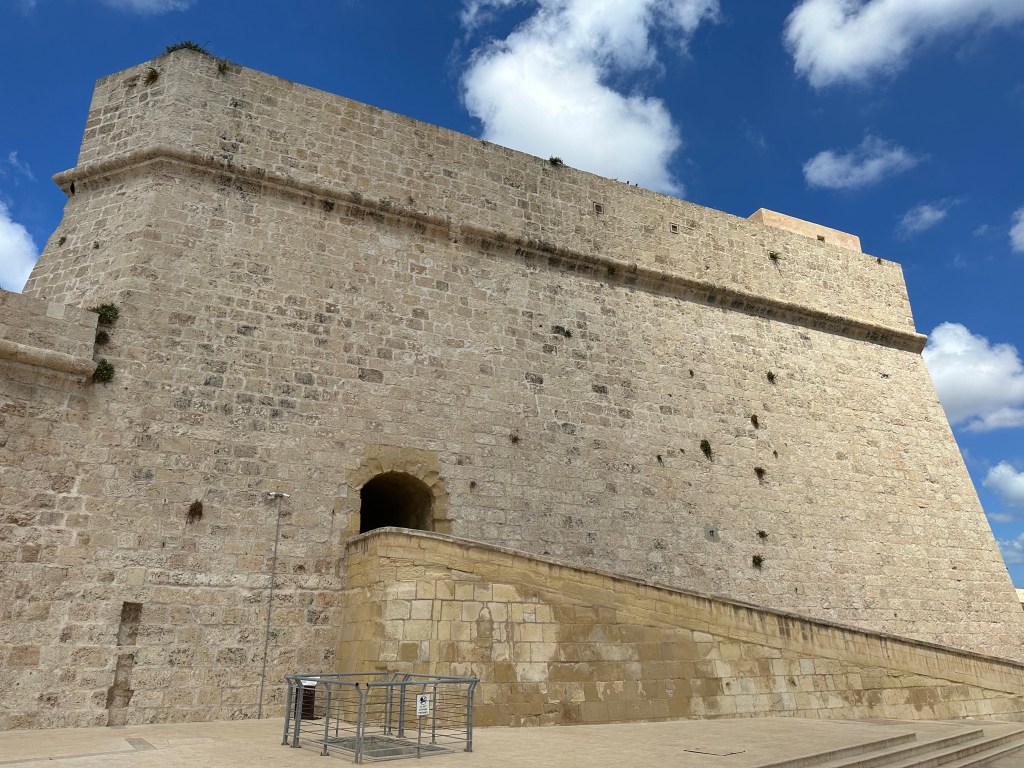
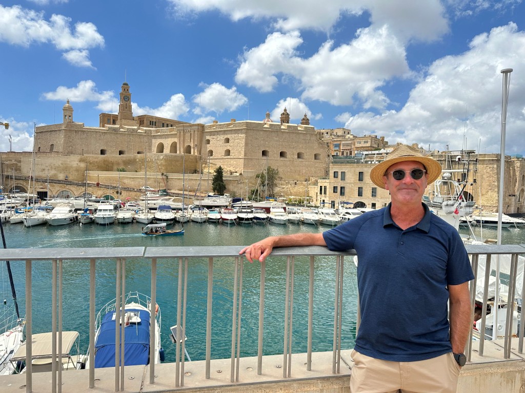
During Britain’s rule of the island in WWII, Malta became a critical naval hub and endured one of the most sustained aerial bombardments of the entire war, earning the troops the George Cross collectively from King George VI in 1942. Fort Angelo on the peninsula of Birgu, which was manned by the British Navy during WW II, seen from across the harbor from the peninsula of Senglea (we’d eventually visit it):

Malta gained independence in 1964, became a republic in 1974, and joined the European Union in 2004, completing a journey from ancient temple-builders to modern European democracy in one of the Mediterranean’s most strategically contested stretches of rock.

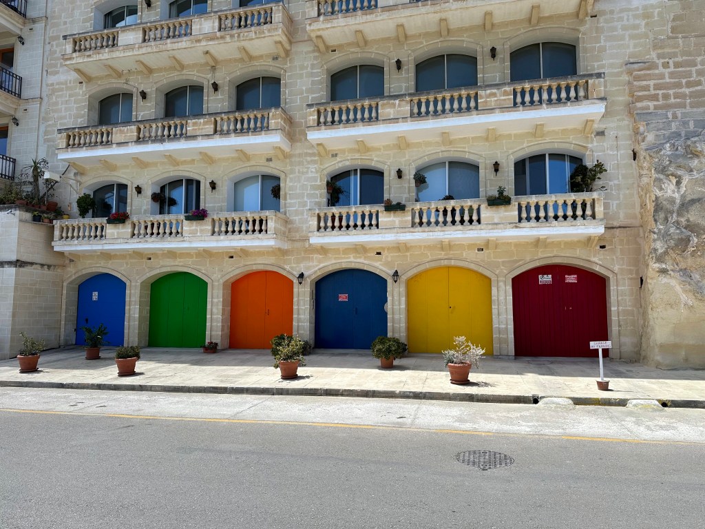
Our hotel in the background was located in a decommissioned fortress on Senglea, one of Malta’s historic Three Cities on a spit of land across the Grand Harbor from Valetta, the capital city.

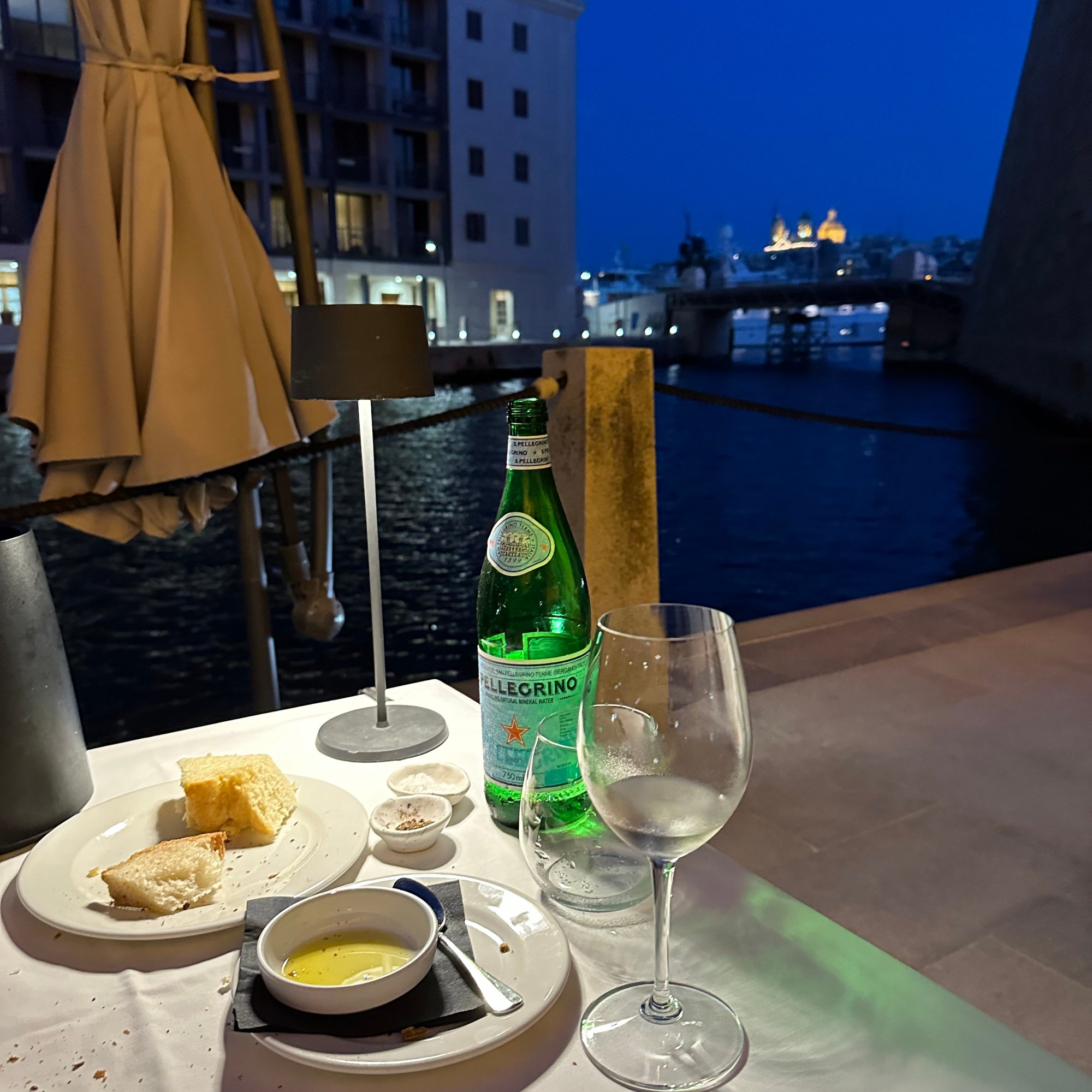
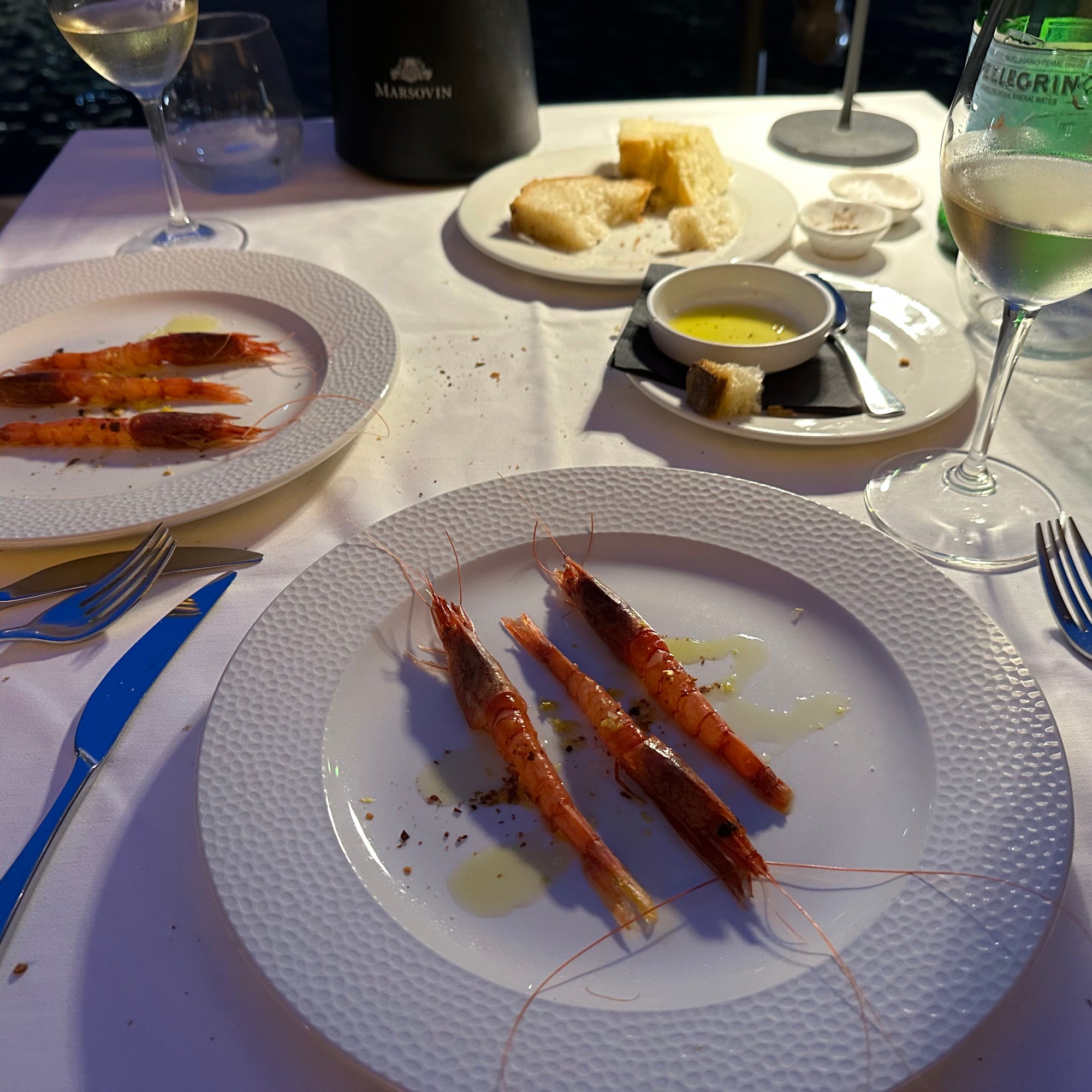
First lunch in town on Senglea – pretty great start to our stay (we’d return there for our final dinner):

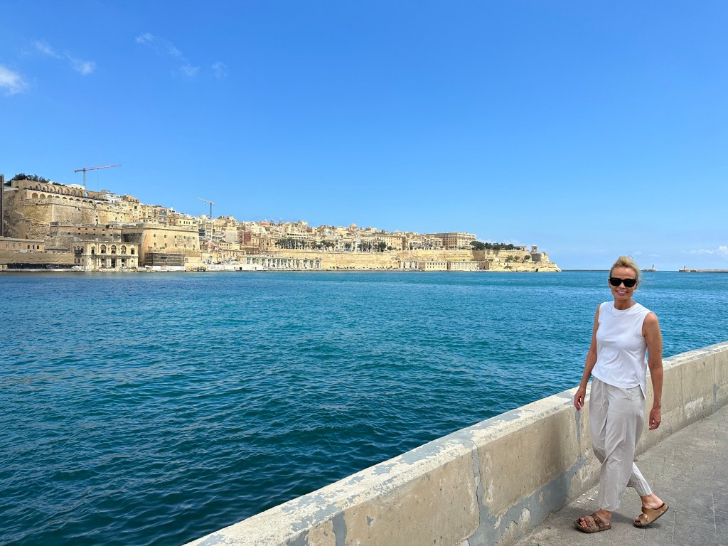
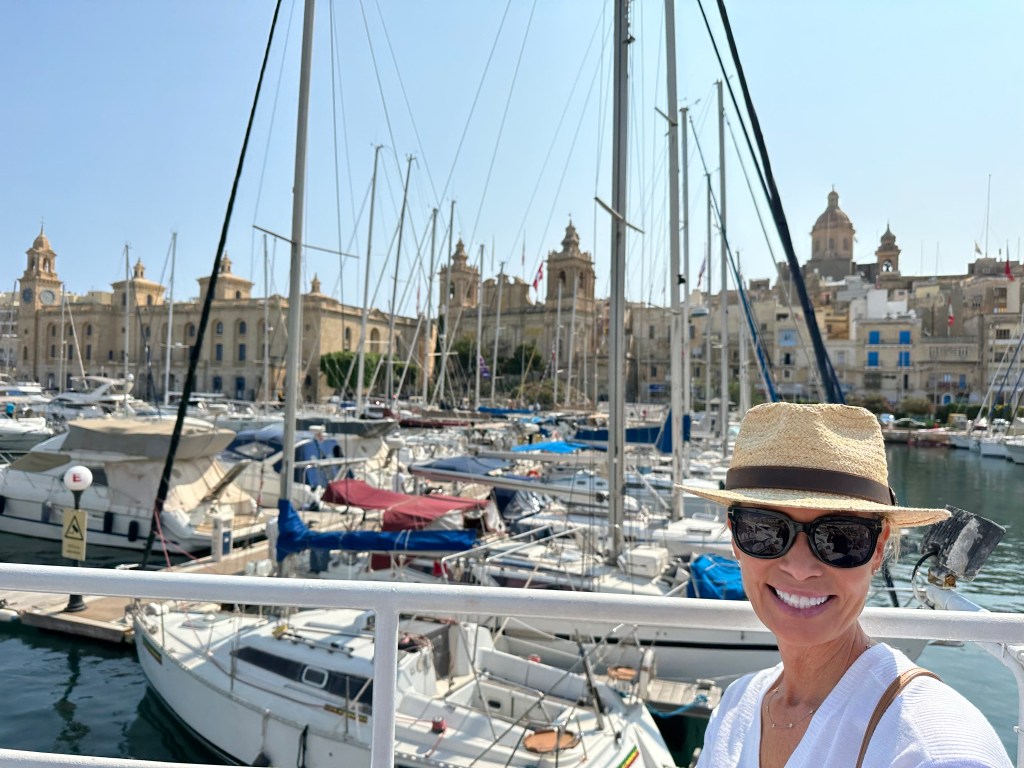
Walking along the Grand Harbor; we stayed on the left, the peninsula of Senglea; the parallel peninsula of Birgu is to the left, and Valletta itself is straight ahead.

The fortifications around Valletta, passed as we arrived from the water taxi stand many stories below the city elevation (there’s an outdoor elevator to get you from there to here):

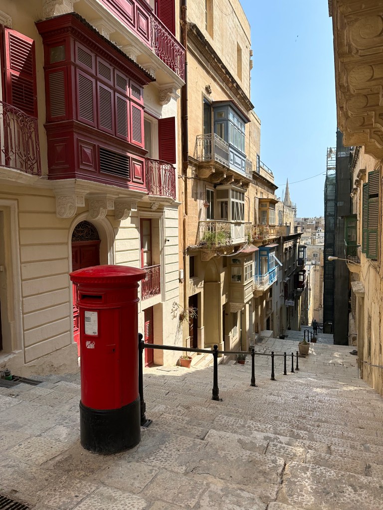
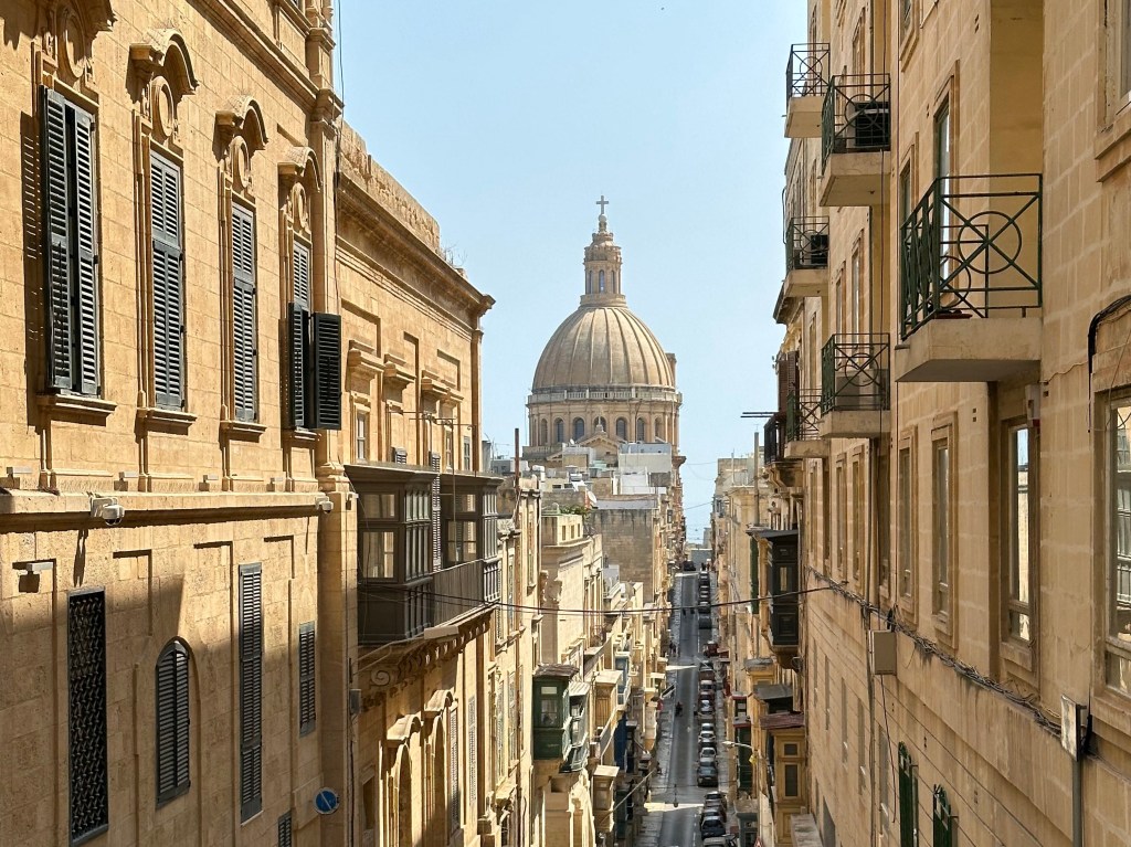
The narrow and atmospheric streets of Valletta:

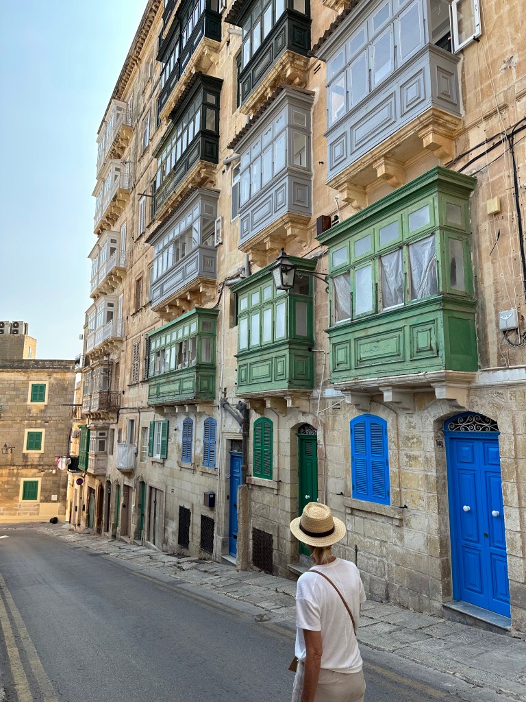
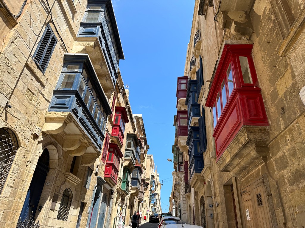
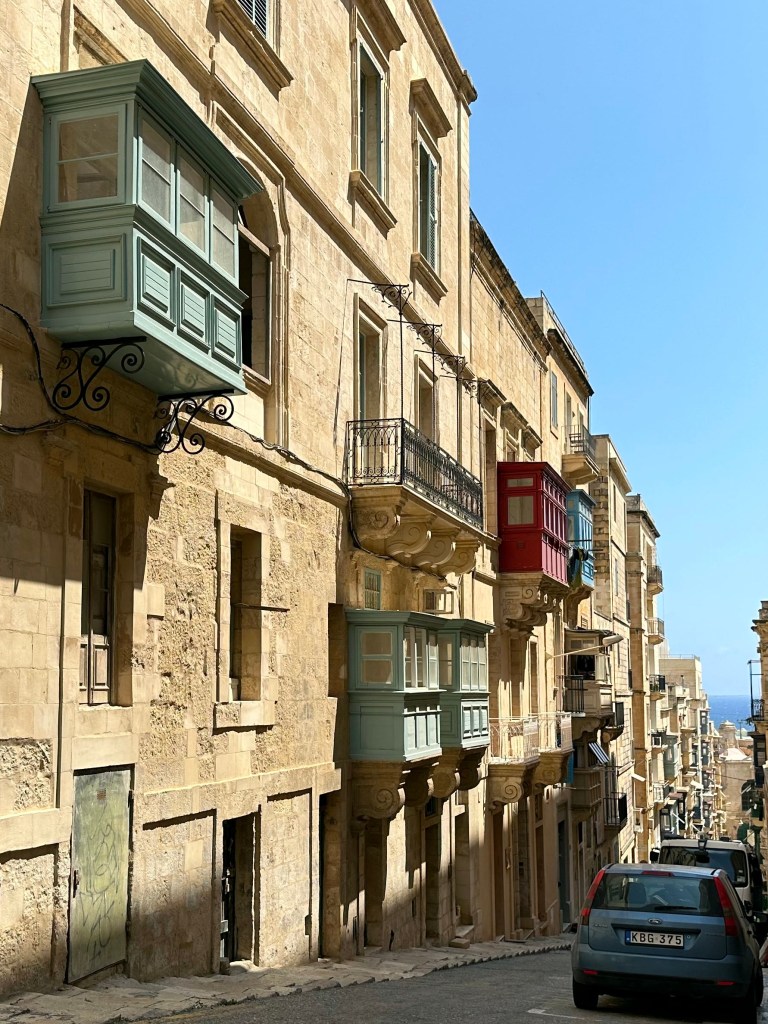
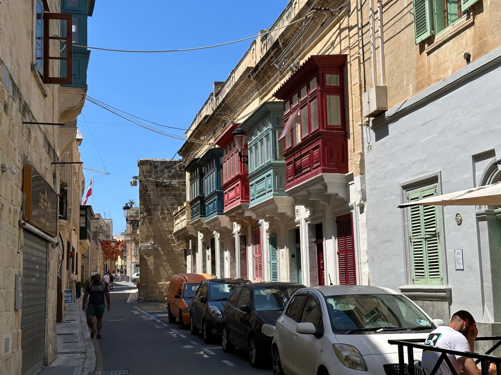
Punctuated by the city’s uniquely characteristic and multicolored gallarija:

“The gallarija is considered a descendant of the Maltese muxrabija, and it is closely related to the mashrabiya which are typical in Arabic architecture. . . [which consist of] an ornate timber screen, perforated with an intricate network of holes, tightly fitted into a window or loggia. . . Muxrabijet had the task to keep the interior of the building cool by allowing circulation of air through the carved wood. They were also used as cooling device for storing water, and as a security measure to observe the outside without being seen.“

Pretty much every single street in Valletta was flanked by gallarija.

A city of limestone, punctuated by brightly colored wood elements. Pretty picturesque.

Water taxi ride back to Senglea:

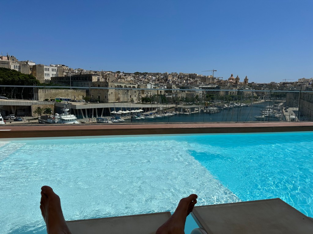
Our hotel occupied one of the Hospitalers’ old fortresses, which was freakin’ awesome. The walls in the rooms were 3′ thick and you could feel the history. Plus, this pool:

Pretty great perch of the Grand Harbor.

View from our room’s cannon embrasure-cum-window:

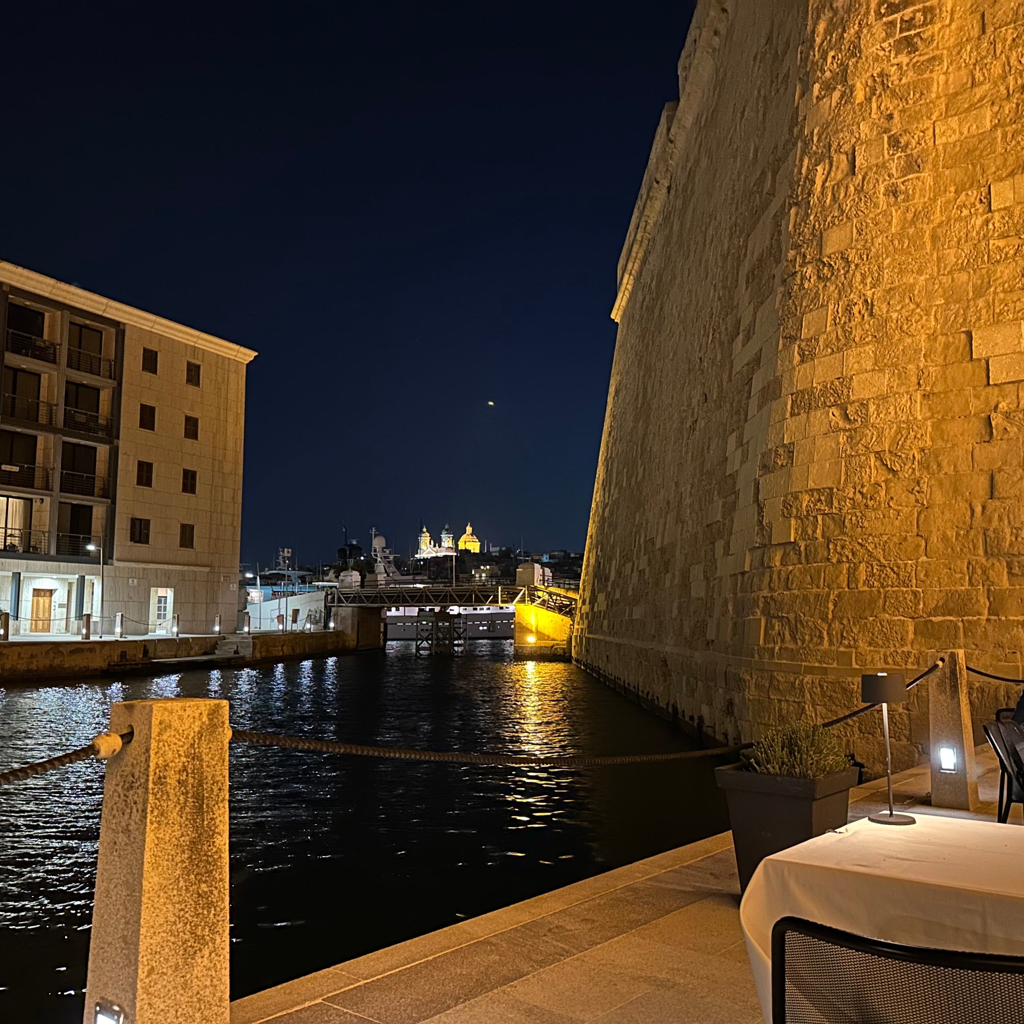
Very cool little harbor area off the Grand Harbor on Birgu that was, um, harboring a very nice restaurant.

Access to the restaurant was gained through the abandoned tunnels of Fort St. Angelo.

After walking around, sailing around, and walking under Fort St. Angelo, we finally decided to actually visit the place.

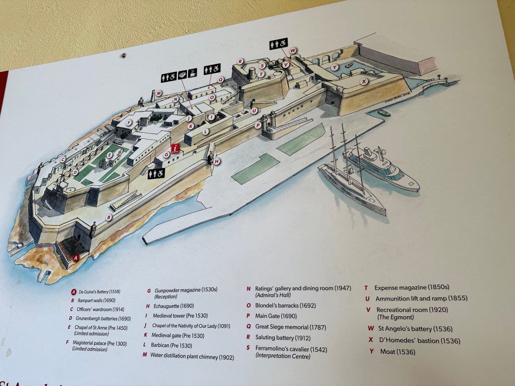
“The fort was garrisoned by the British from 1800 to 1979, at times being classified as a stone frigate known as HMS Egmont or later HMS St Angelo. The fort suffered considerable damage during World War II, but it was later restored.“

Map of the fortifications with dates delineating the evolution of the fort from the Hospitalers’ era in the 1500s (and even earlier to 1091 for one of the chapels that predated – by a long stretch – their arrival) to the 1940s:

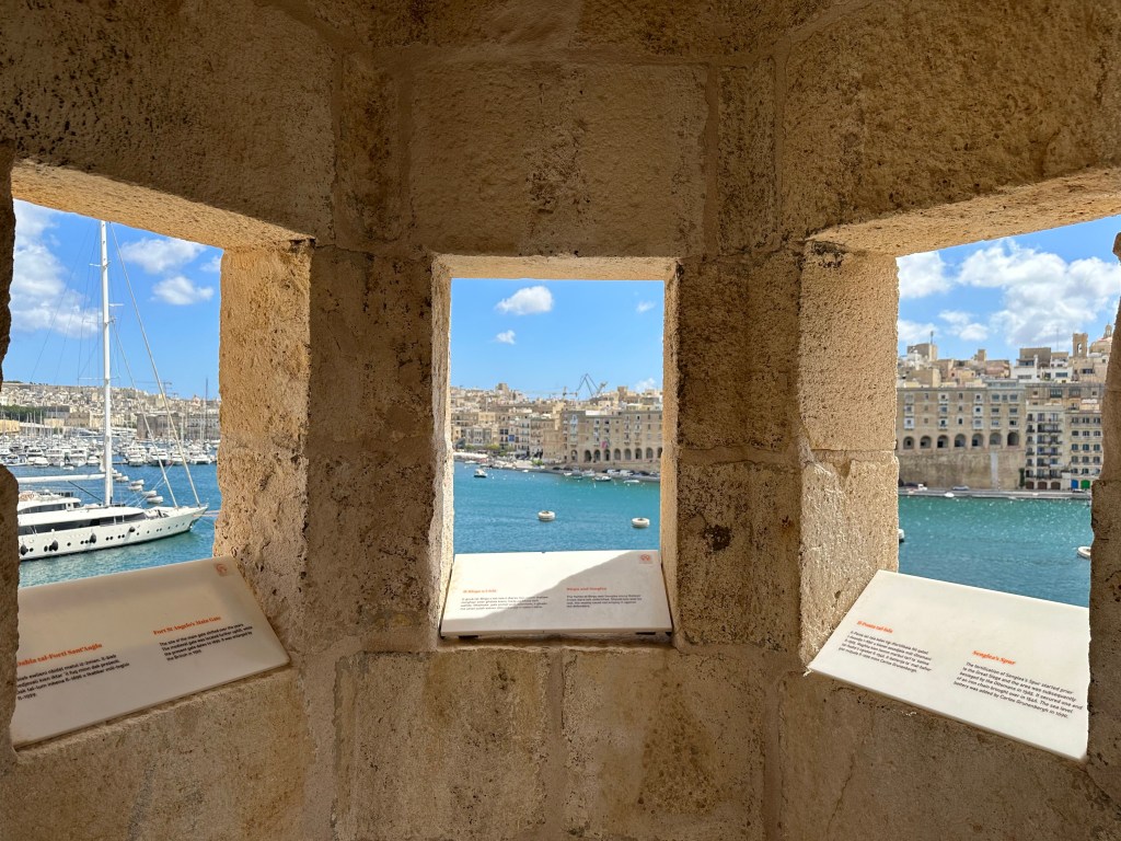
View over to Senglea across the harbor:

Inside a watchtower on the very tip of the fort and of Birgu; the tip of Senglea is out the right window, but you can’t tell.

Another evening in Malta after a day trip to Mdina, which will cover in another post. Unbelievable weather the entire time, though.

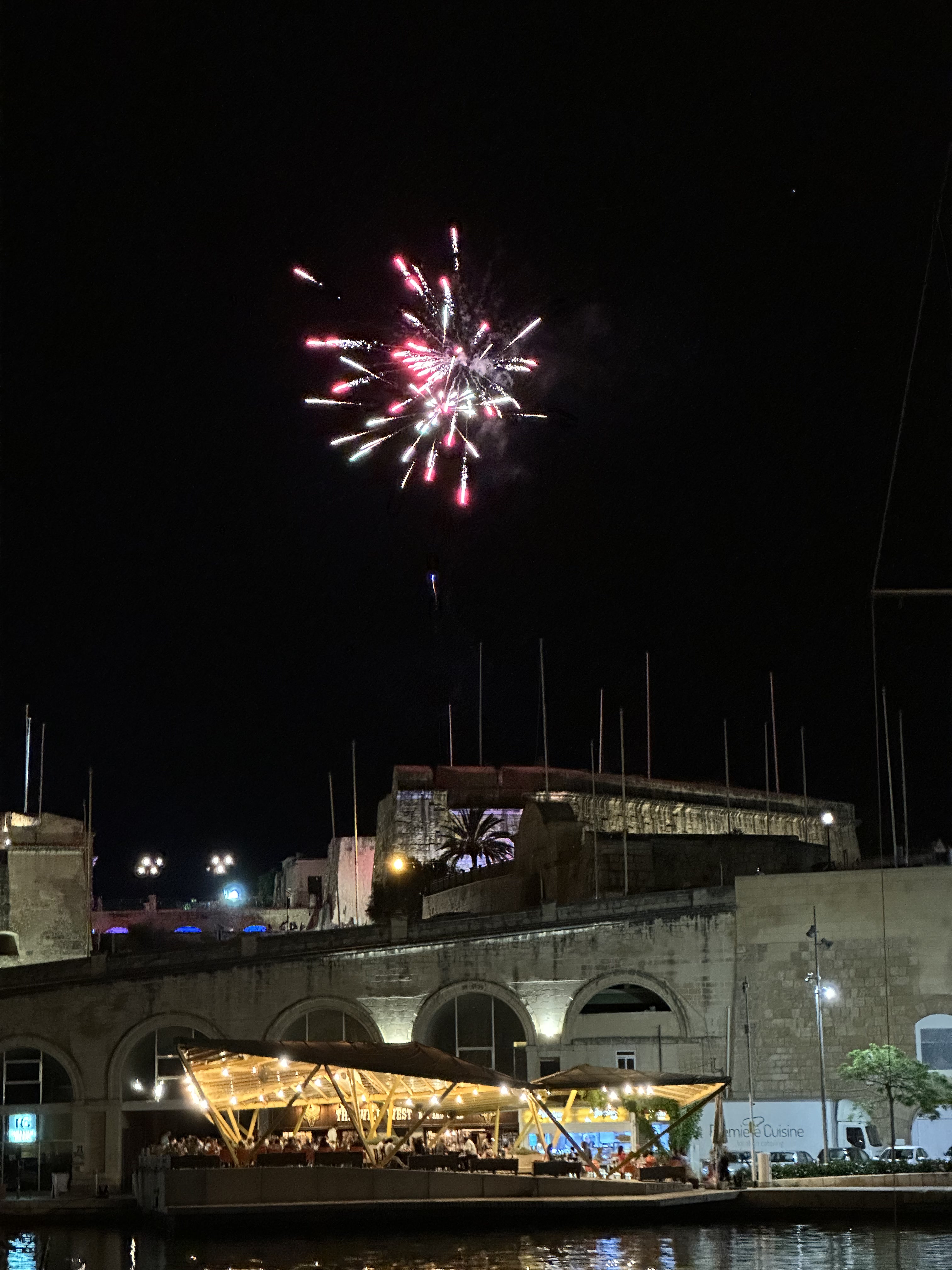
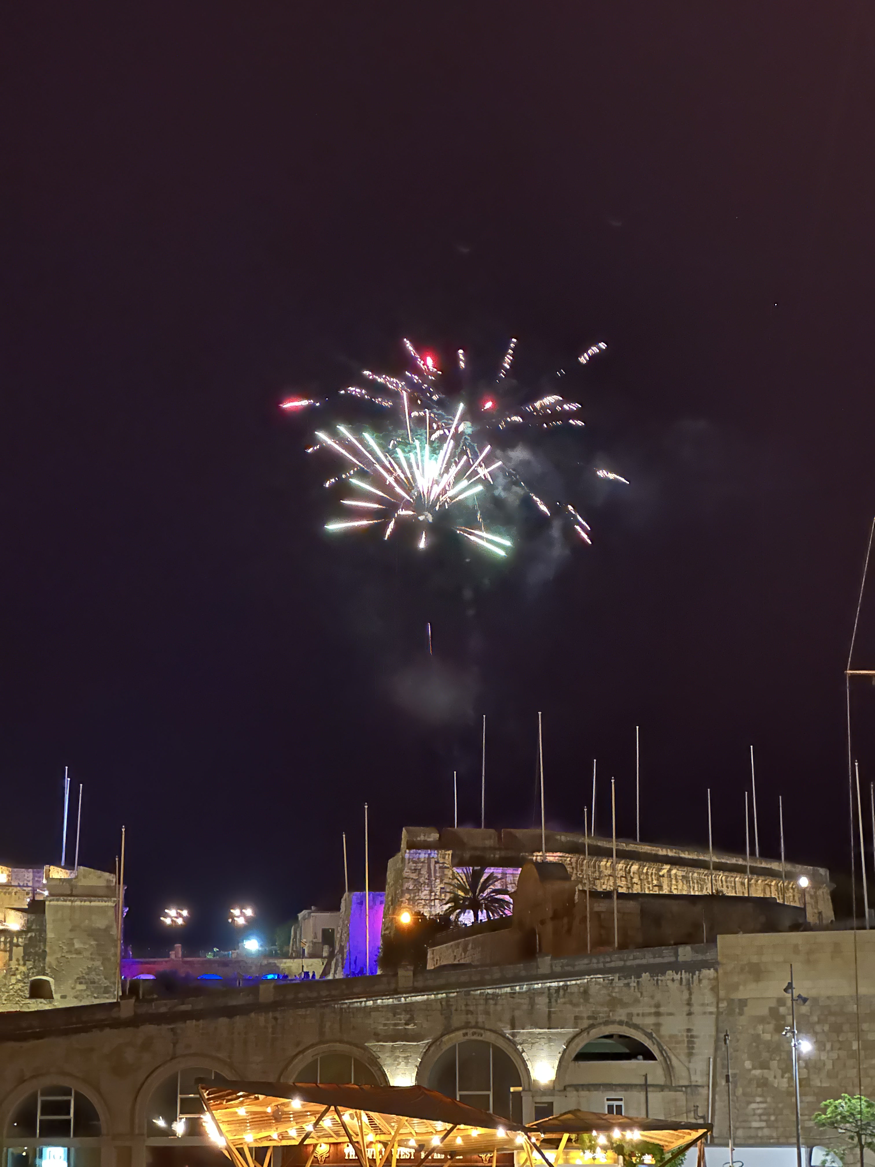
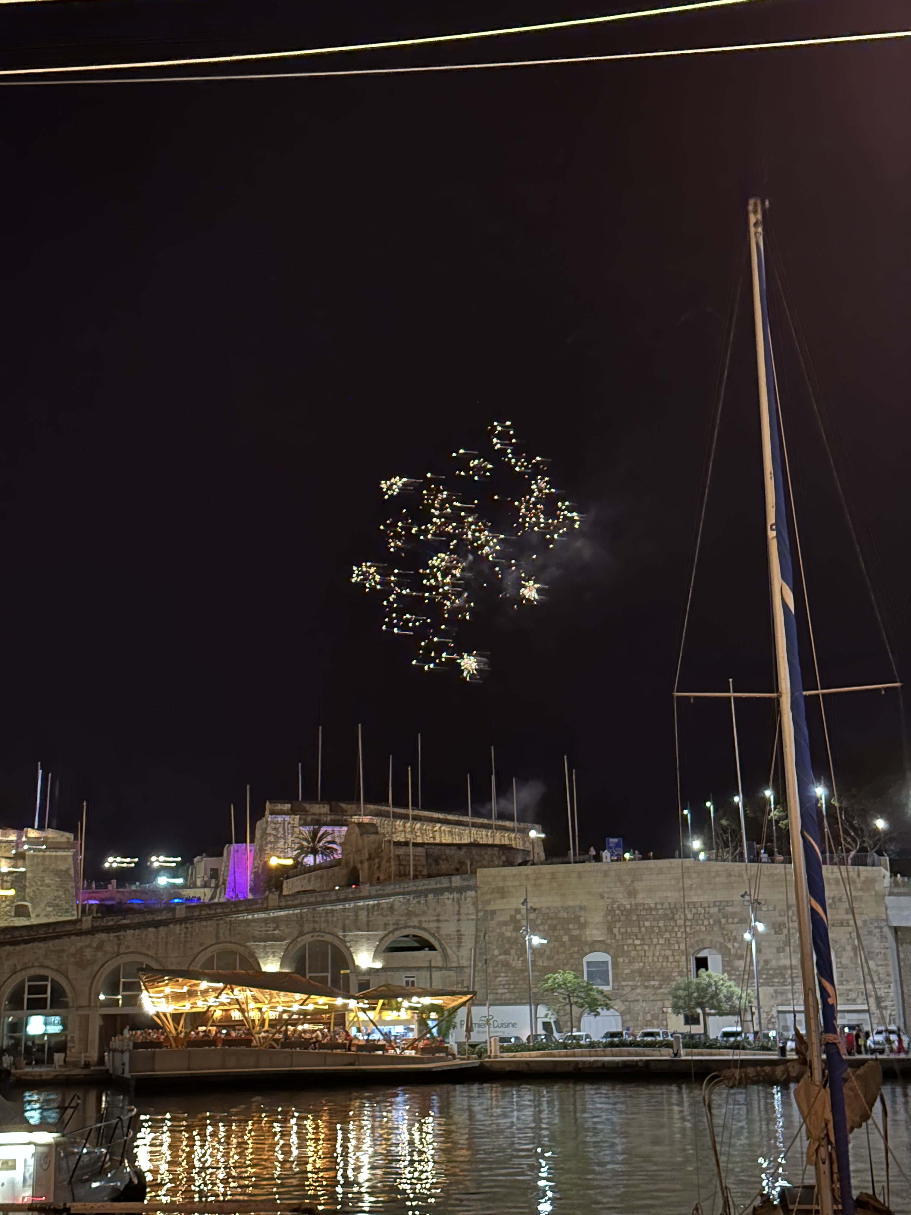
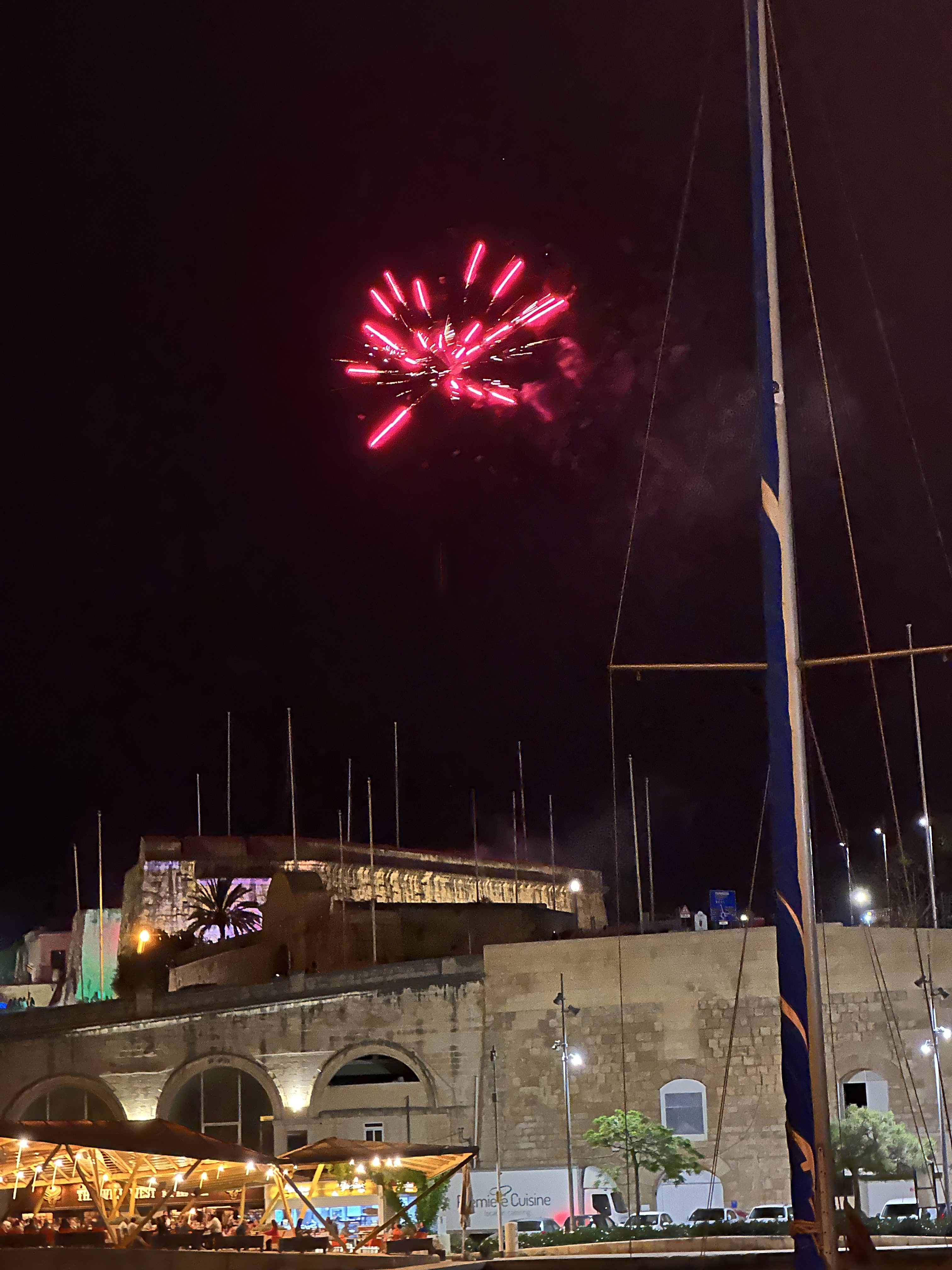
Unexpected fireworks towards the end of dinner:

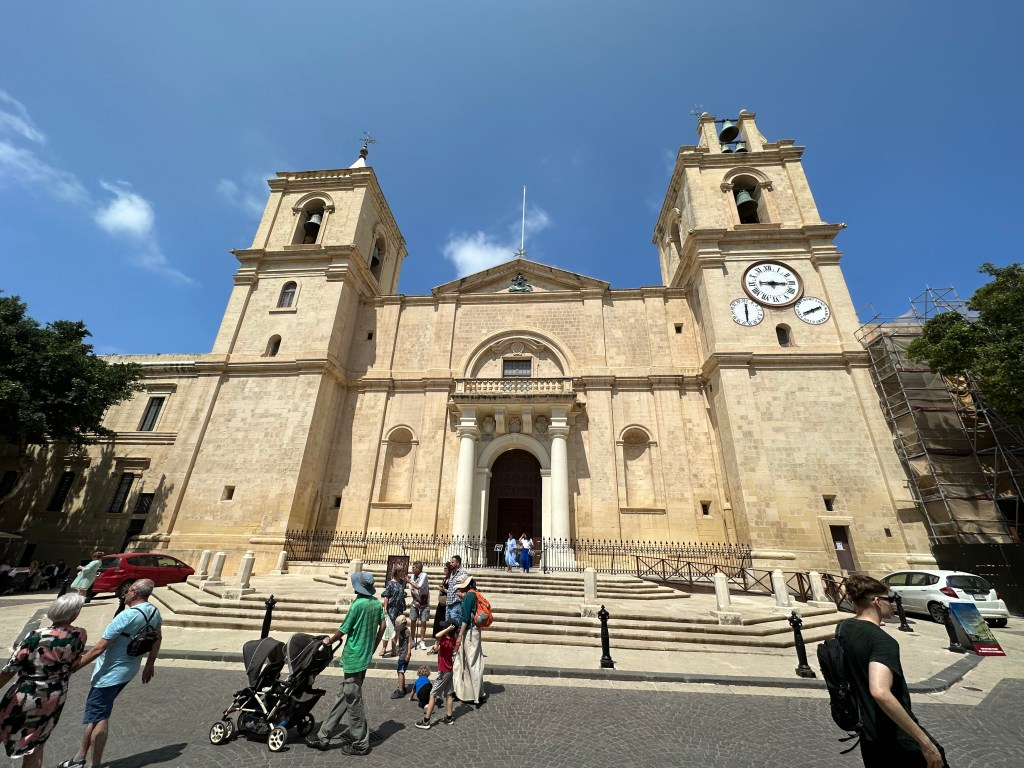
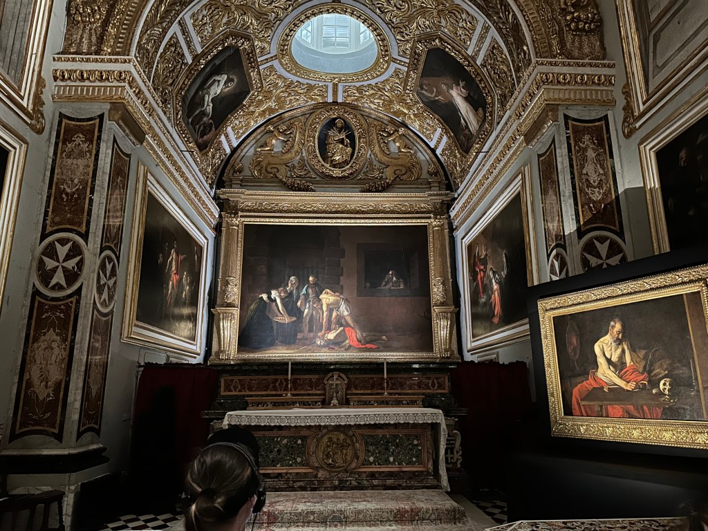
The dome of Hospitalers’ (Order of St. John’s / Knights of St. John’s) St. John Co-Cathedral in Valletta:

St. John’s Co-Cathedral was built between 1573 and 1578 by the Knights of St. John as their conventual church following the Great Siege of Malta, with its austere exterior designed by Maltese architect Girolamo Cassiere concealing one of the world’s most lavish Baroque interiors.

It’s a co-cathedral (we had never heard of this before) because the original (and still) bishop’s seat on Malta was in the interior town of Mdina at St. Paul’s Cathedral. But the Hospitalers new one got recognized by the Pope, as well, and he granted it equal cathedral status, as a co-cathedral. One bishop, two cathedrals. Pretty wild.

Today, the co-cathedral is Malta’s most important religious and artistic monument, symbolizing the power and legacy of the Knights Hospitaller while serving as one of Europe’s finest examples of Baroque architecture and a centerpiece of Valletta’s UNESCO World Heritage status.

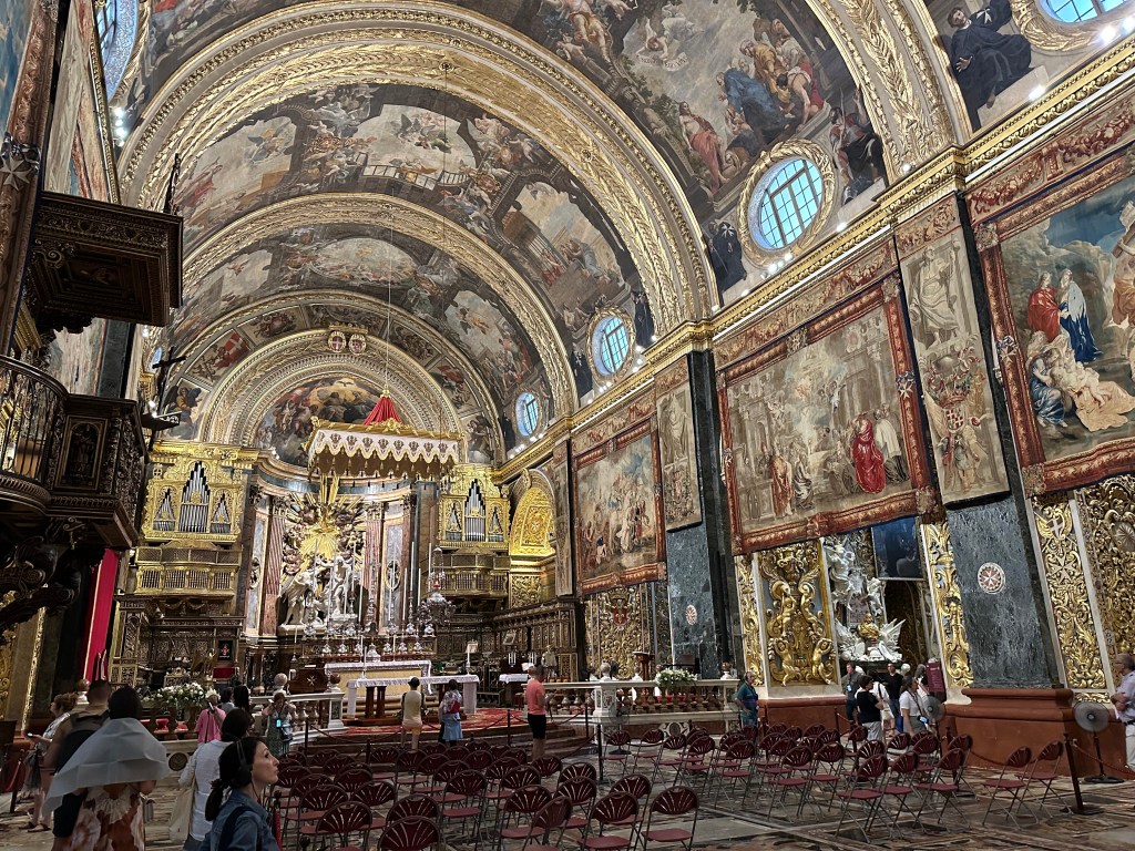
Spectacular ceiling of the co-cathedral

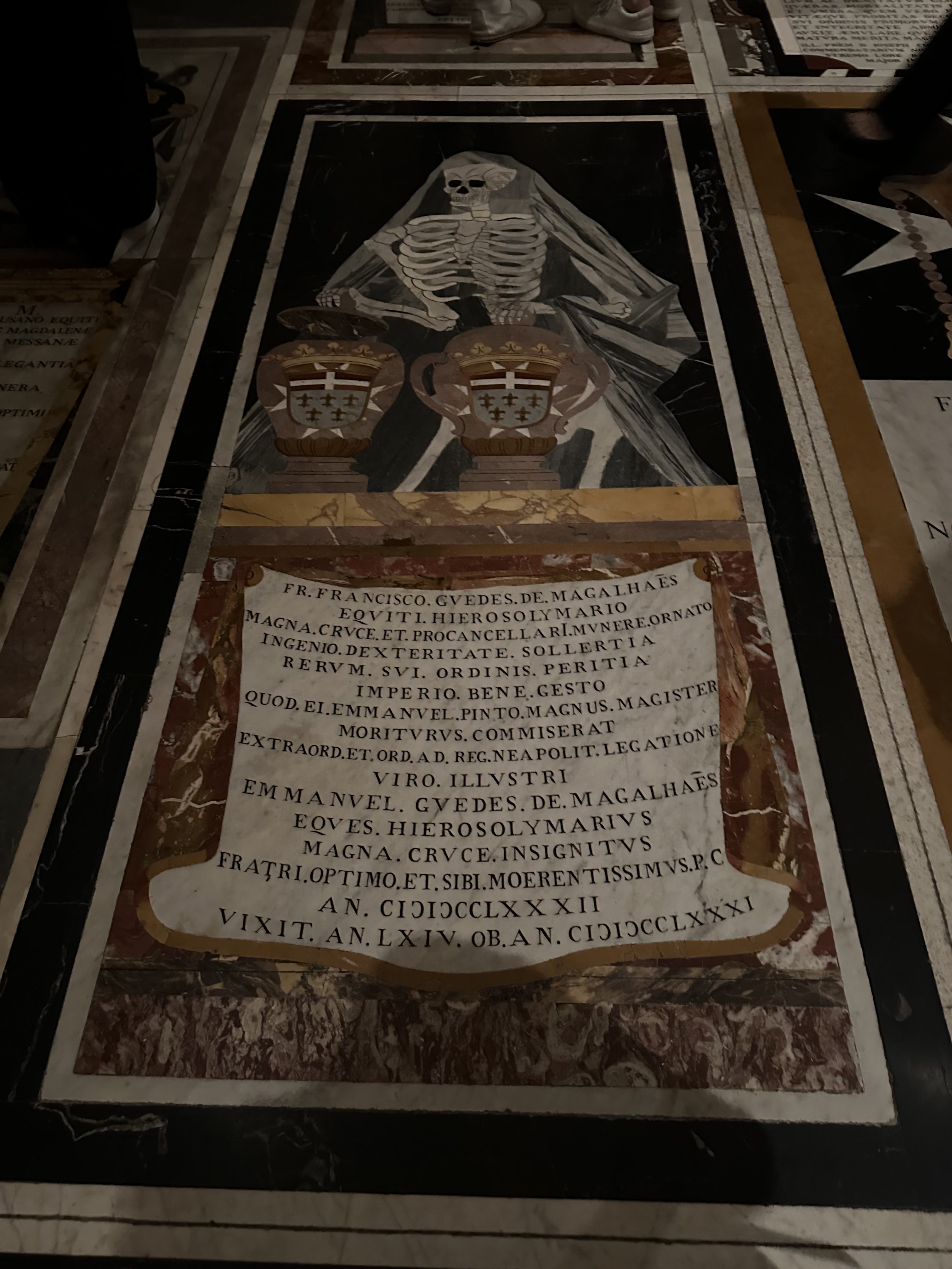
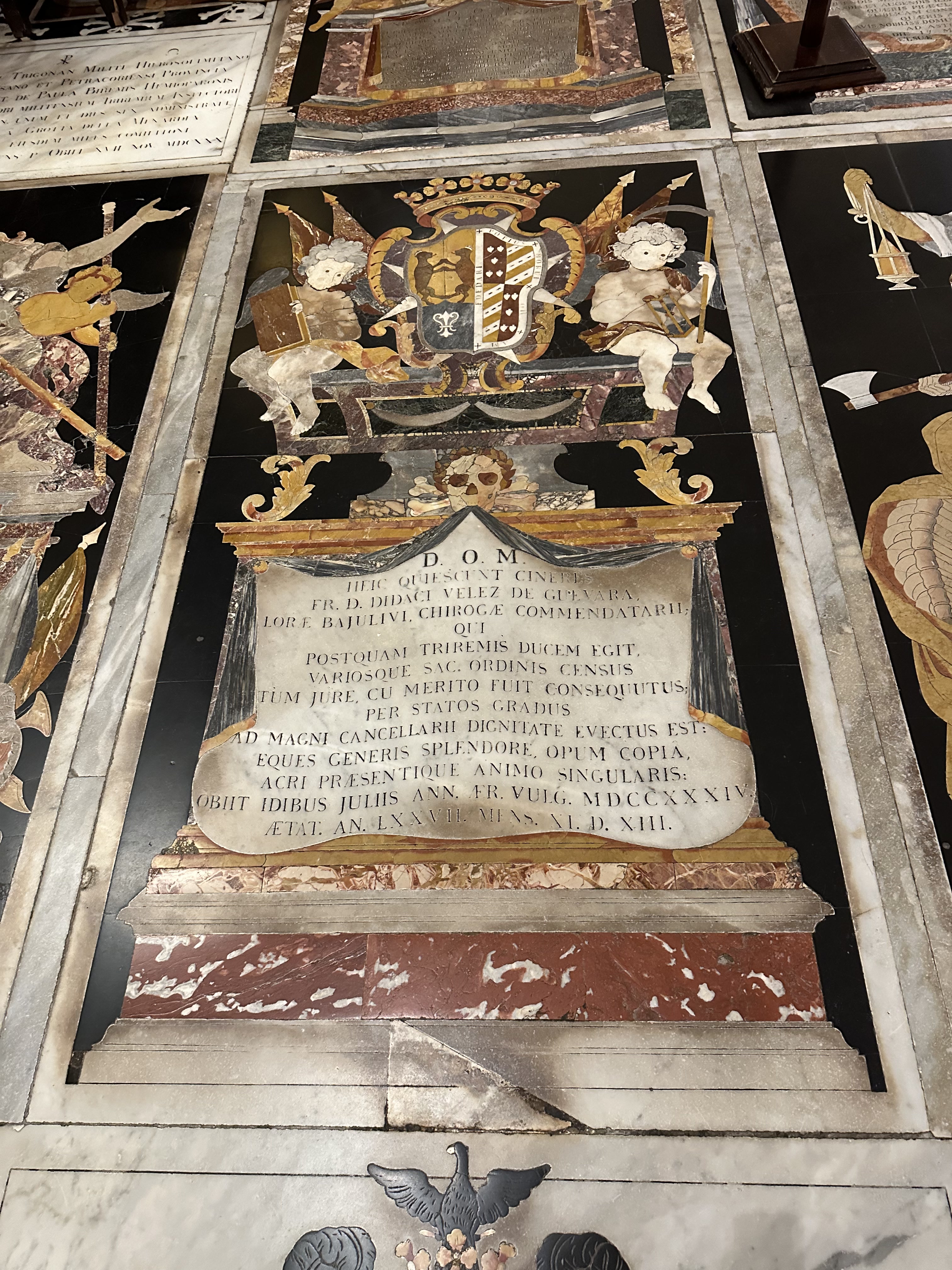
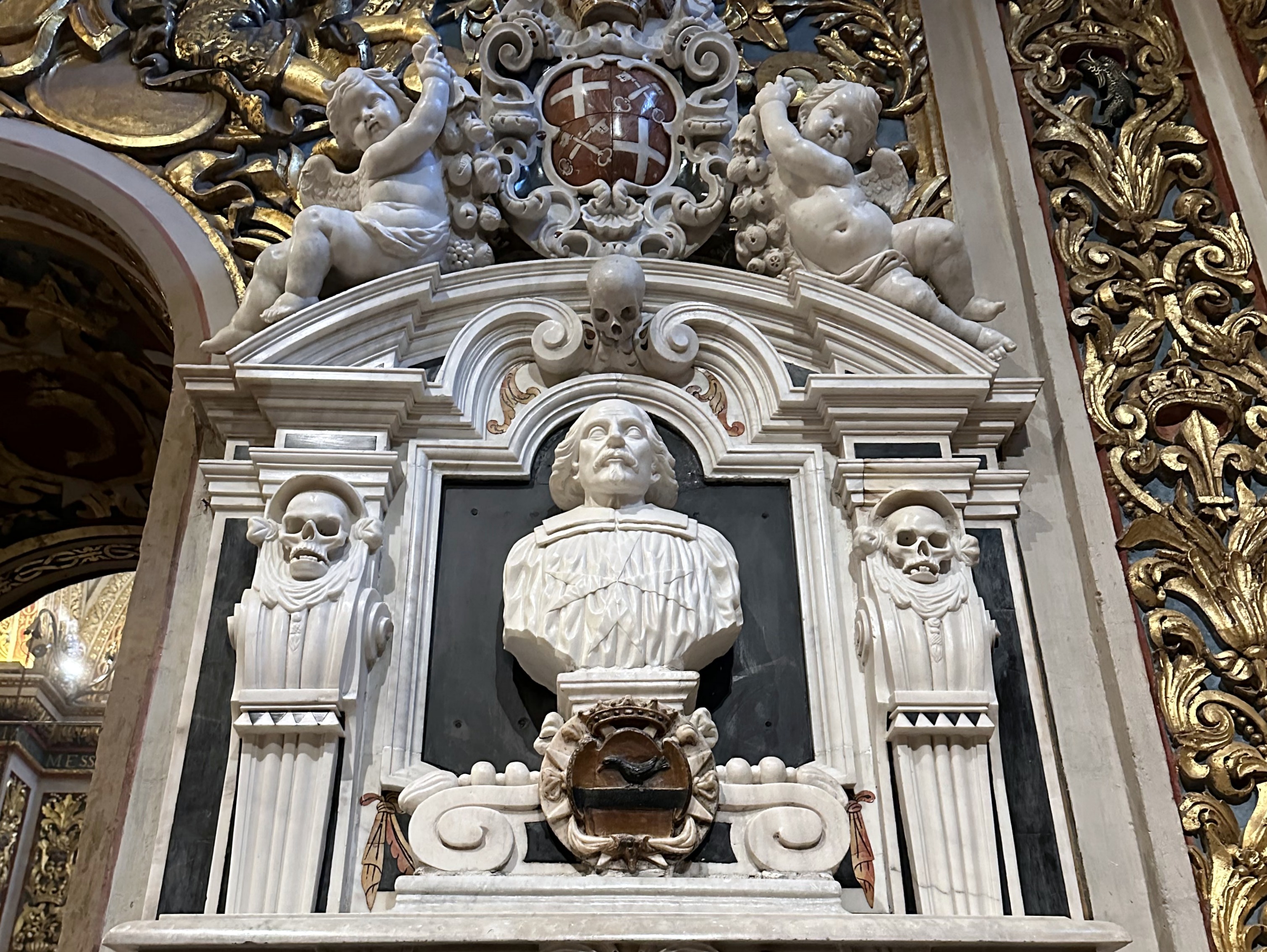
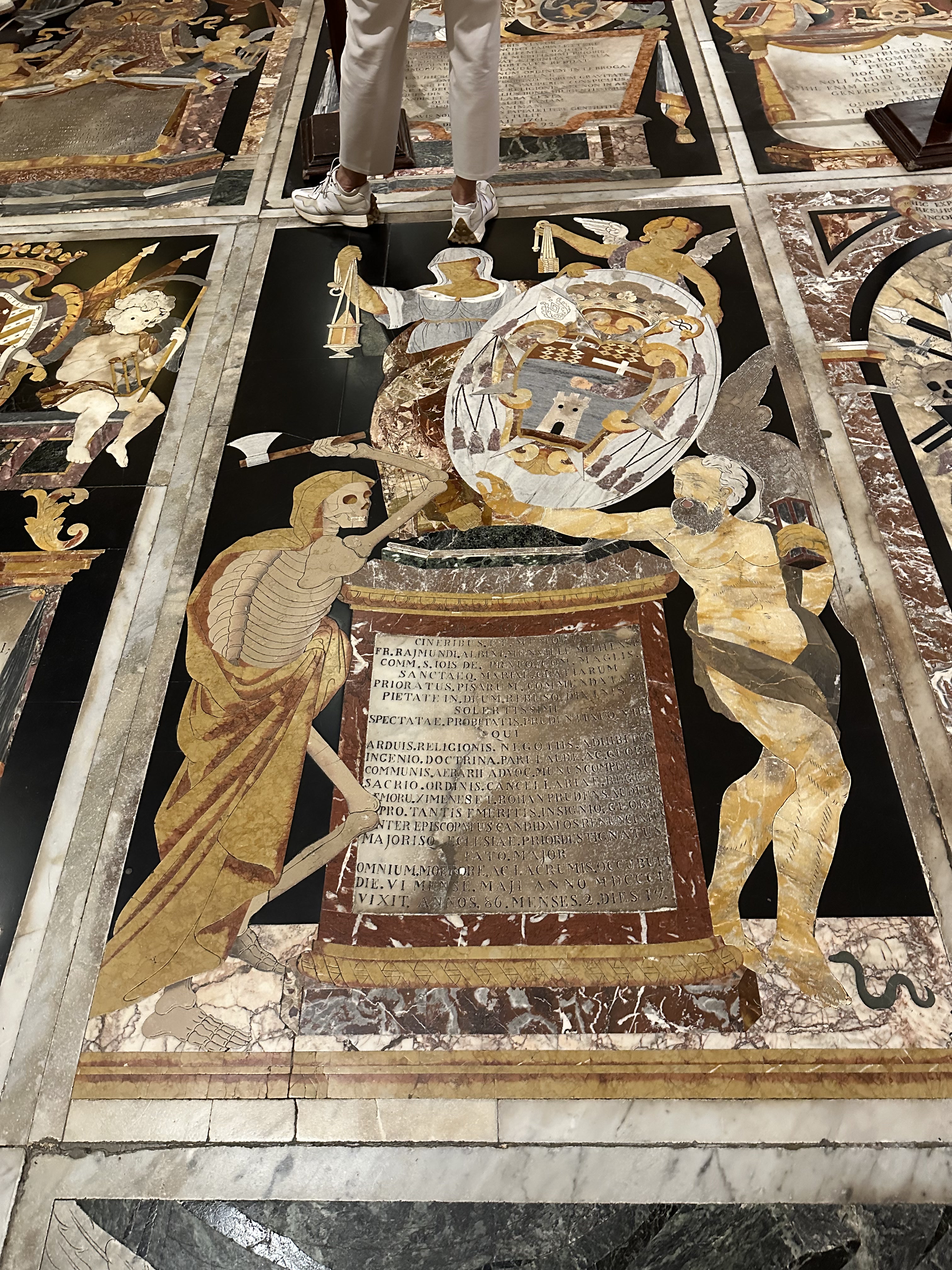
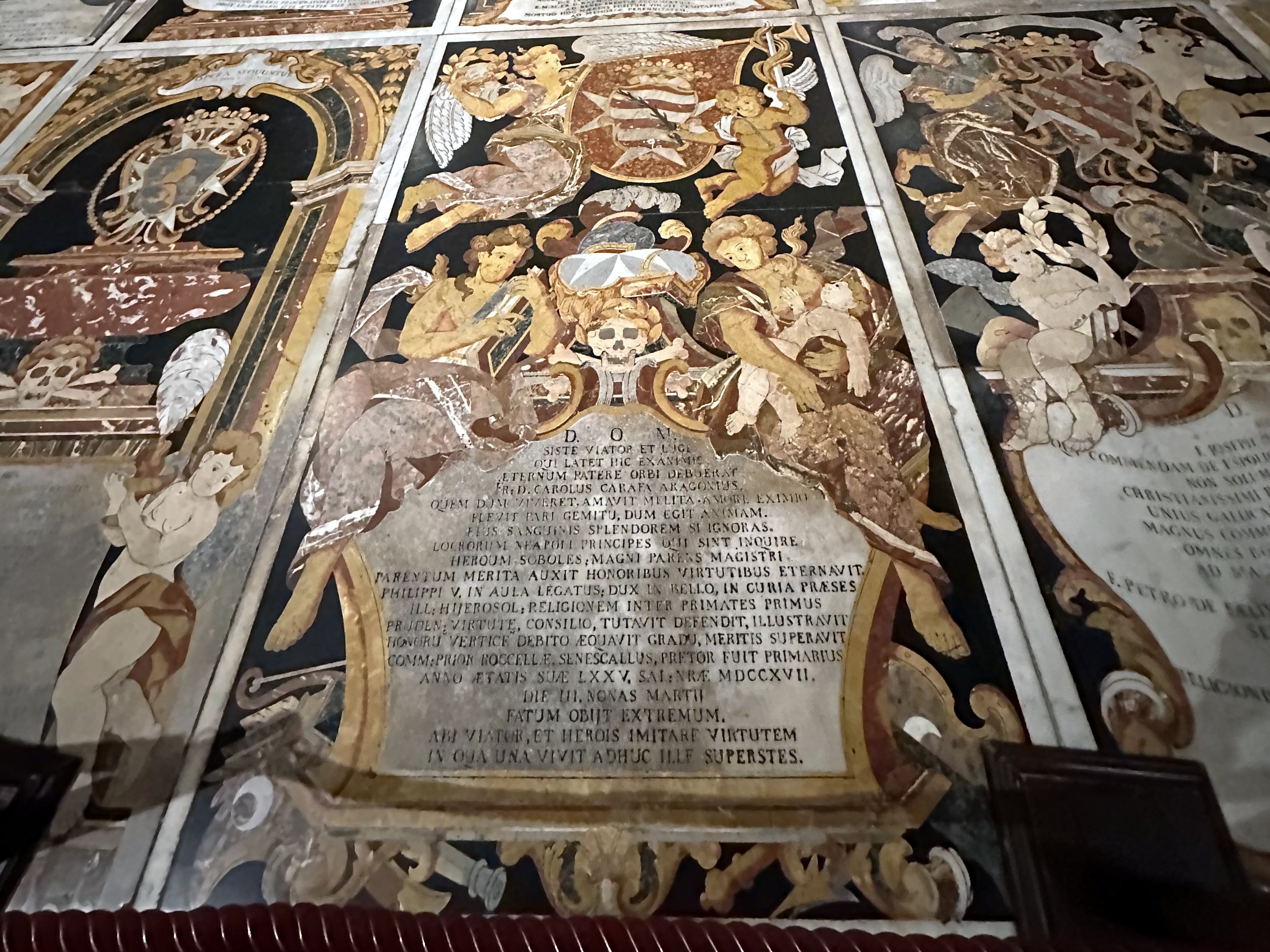
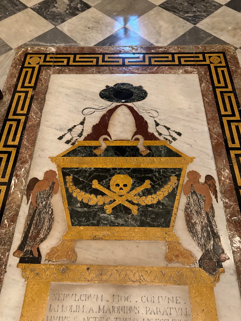
Way better to us was the floor – the entire place was occupied by elaborate tombs of the Knights of St. John:

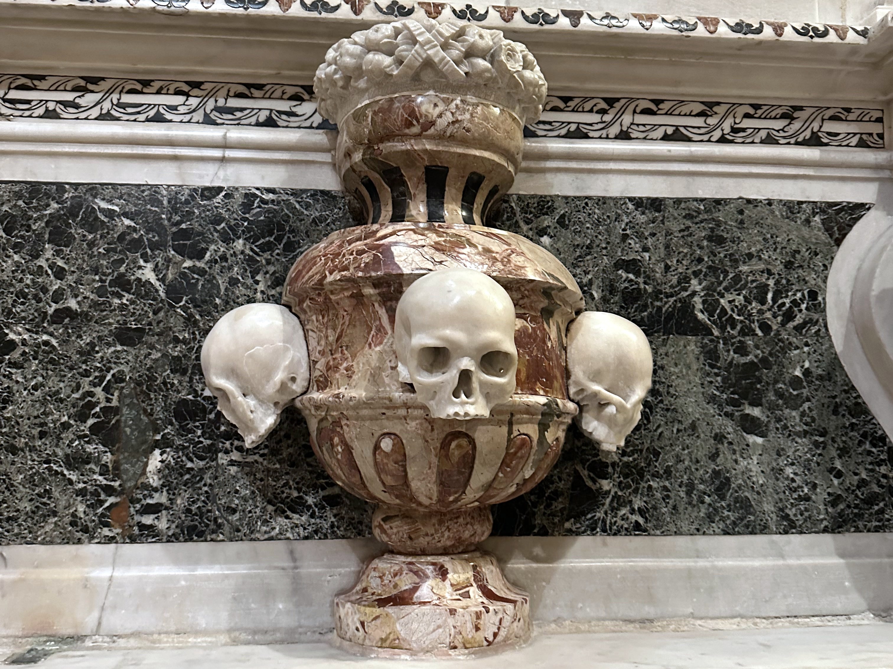
Most of which included macabre elements, to our delight:

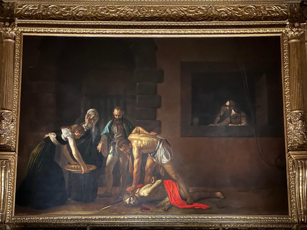
One of the greatest treasures of St. John’s Co-Cathedral and one of the masterpieces of Western art is Caravaggio’s The Beheading of Saint John the Baptist (1608). It’s the cathedral’s most famous work and the reason many art lovers travel to Malta.

It’s significant for the following reasons:

  • It is Caravaggio’s largest painting. Measuring roughly 3.6 × 5.2 meters (12 × 17 feet), it is the largest canvas he ever painted and one of the few works created specifically as an altarpiece.
  • It is Caravaggio’s only signed painting. If you look near the pool of blood beneath John the Baptist’s neck, you’ll find the artist’s signature: “f. Michelangelo” (“Fra Michelangelo”), written in the blood. He signed it this way because he had just been admitted as a Knight of the Order of St. John—a unique moment in his tumultuous life.

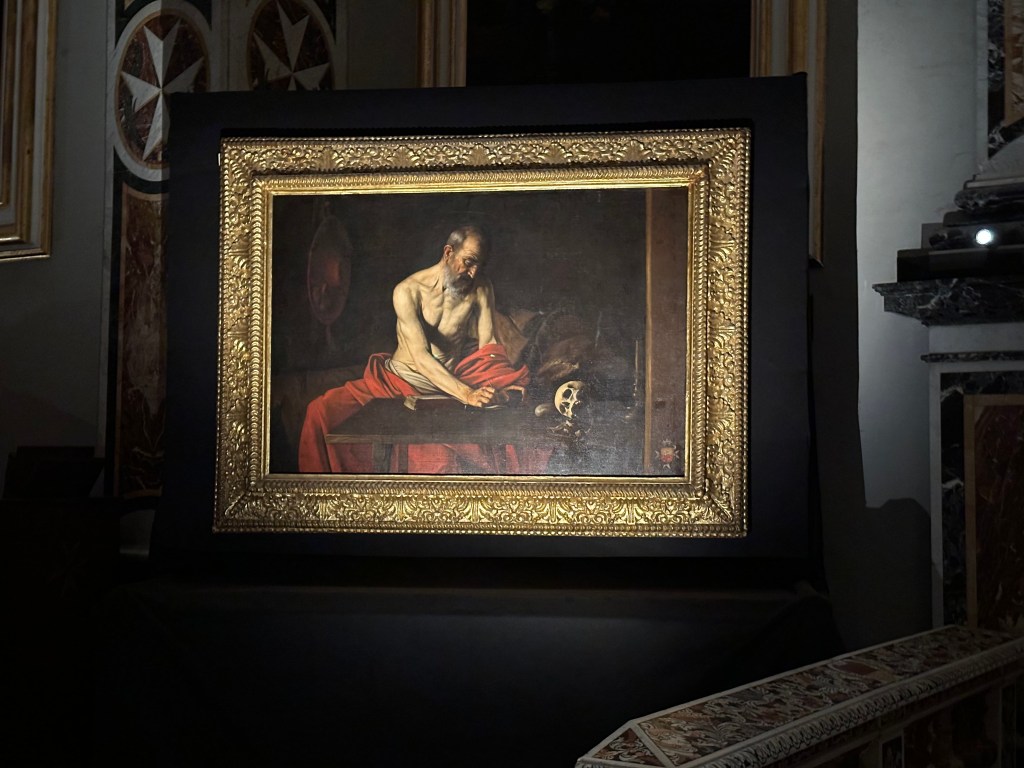
Saint Jerome Writing, also by Caravaggio, painted around 1607–1608 during his stay in Malta, depicting Saint Jerome translating the Bible into Latin, with the skull symbolizing the fleeting nature of life.

Check out the discrete Maltese cross Caravaggio included in the bottom right of the painting, paying homage to the patrons who funded it. . .

Next up: Mdina, Malta, and then, finally, some biking.

Categories: A Prolonged Foray to Europe, Malta | Tags: , , , , , , , , , , | Leave a comment

A Prolonged Foray to Europe: Mdina, Malta

While staying in the Valletta area, we grabbed an Uber for a field trip to Mdina, the Maltese capital’s forerunner until the 16th century. After the Knights of St. John made the new fortified town of Valletta their capital after the Great Siege of 1565, Mdina faded in significance and slid into backwater status significantly enough to be nicknamed the “Silent City.” Based on our stroll throughout town, this is pretty apt, although Silent Sunburnt City may be even more on brand.

Founded as a fortified settlement by the Phoenicians around the 8th century BC, the town later became the Roman city of Melite. Under Arab rule beginning in the 9th century, it was reduced and fortified into the compact medieval city that became known as Mdina. (The Arabs also separated the fortified city from the surrounding area—creating what became Mdina, literally the city, while the adjoining suburb became Rabat, meaning suburb or quarter in Arabic. We’d visit both during our little field trip.)

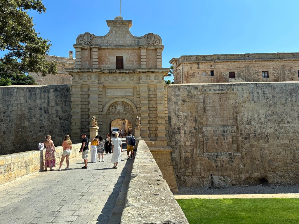
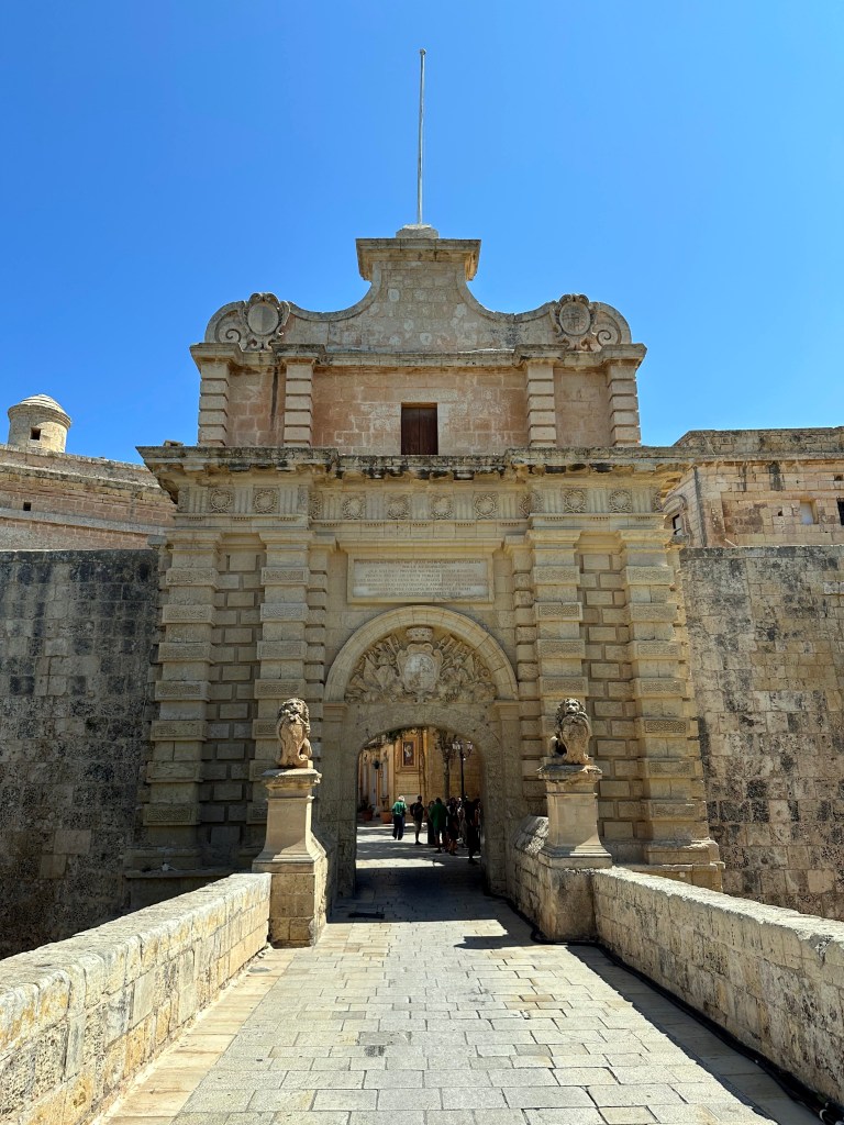
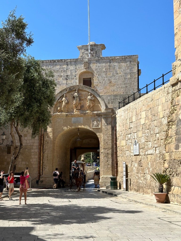
Mdina’s Baroque Main Gate, dating from 1724. Built during the rule of the Hospitallers, it replaced the medieval entrance that was destroyed during the 1693 Sicily earthquake nearby (which gave rise to the Baroque Towns we visited just prior, in Sicily).

The gate is flanked by two lions, which are associated with Antonio Manoel de Vilhena, the Grand Master of the Order of St. John in Malta during the late 18th century, as well as Vilhena’s coat of arms over the gate proper.

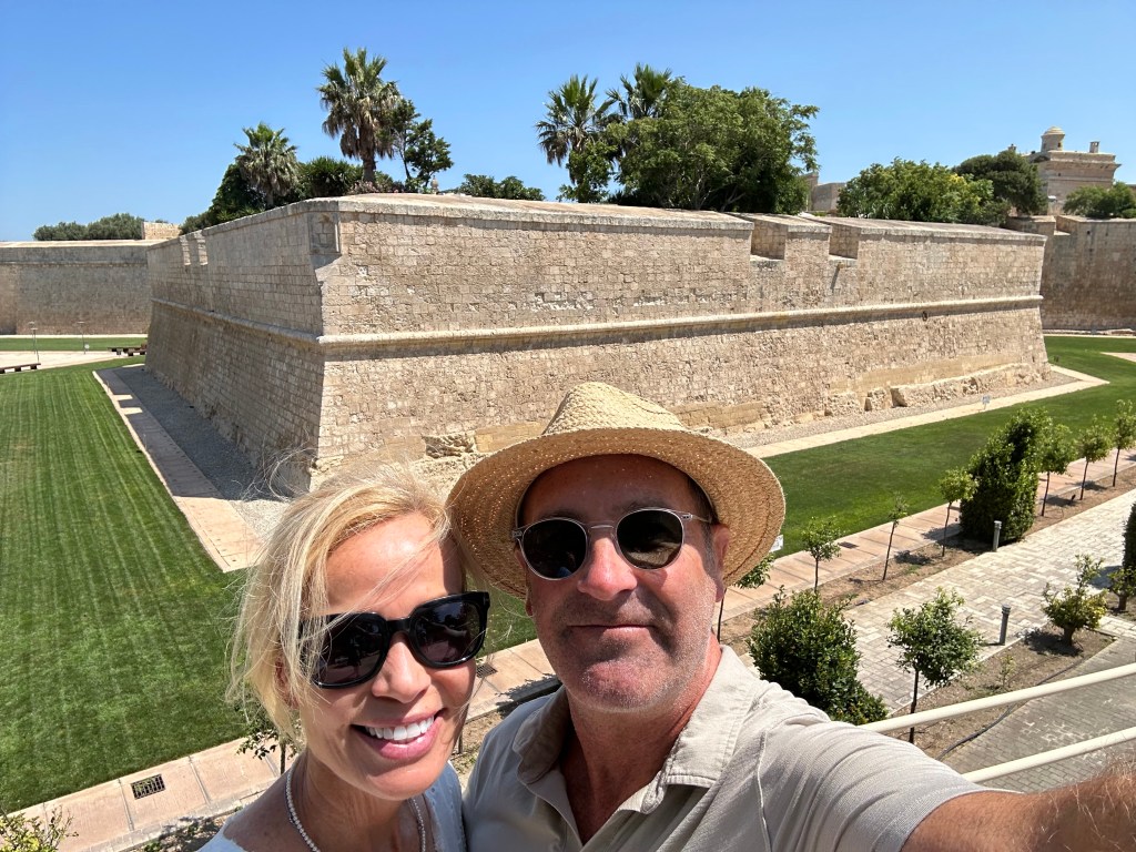
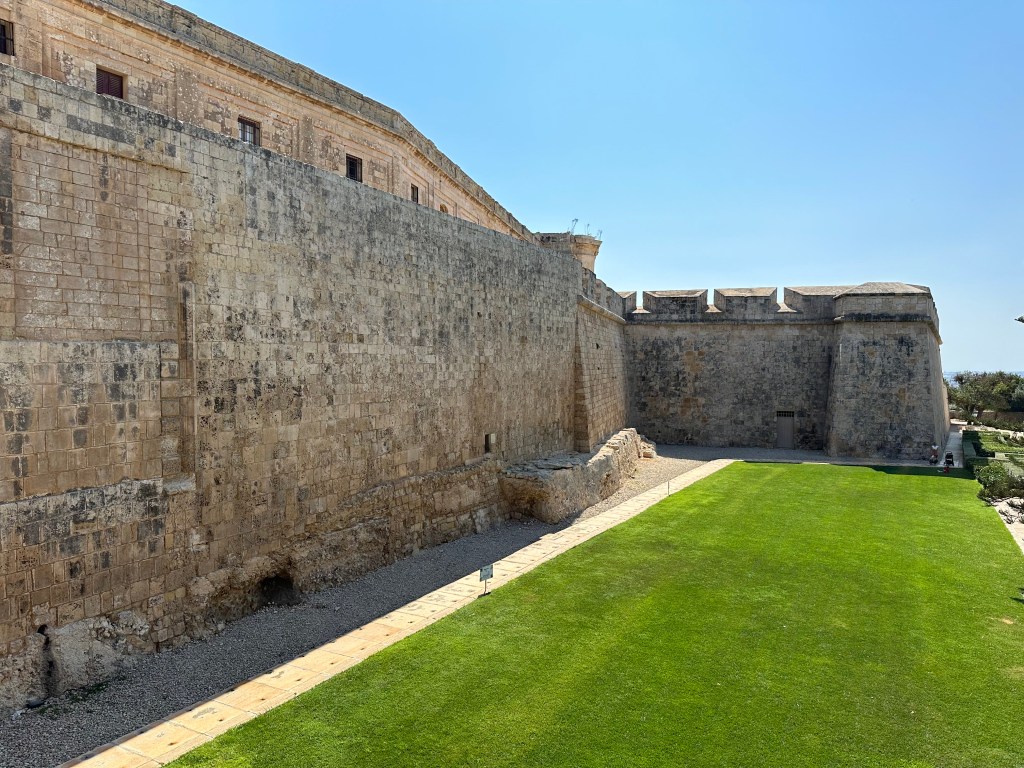
Extant fortifications of the city on either side.

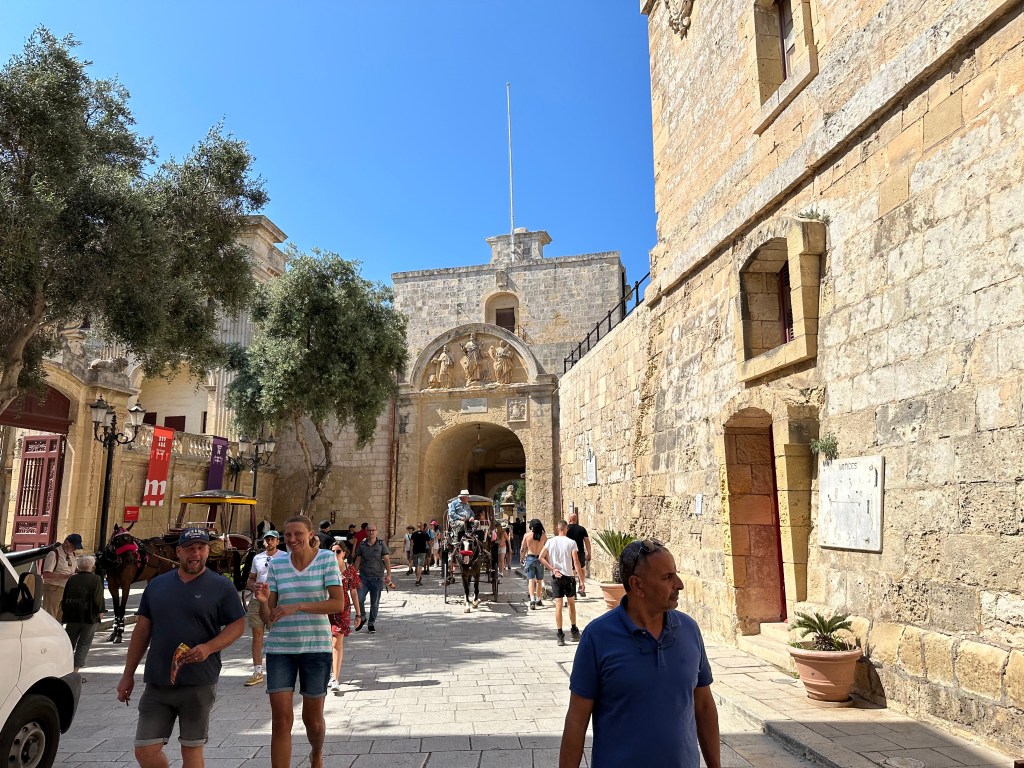
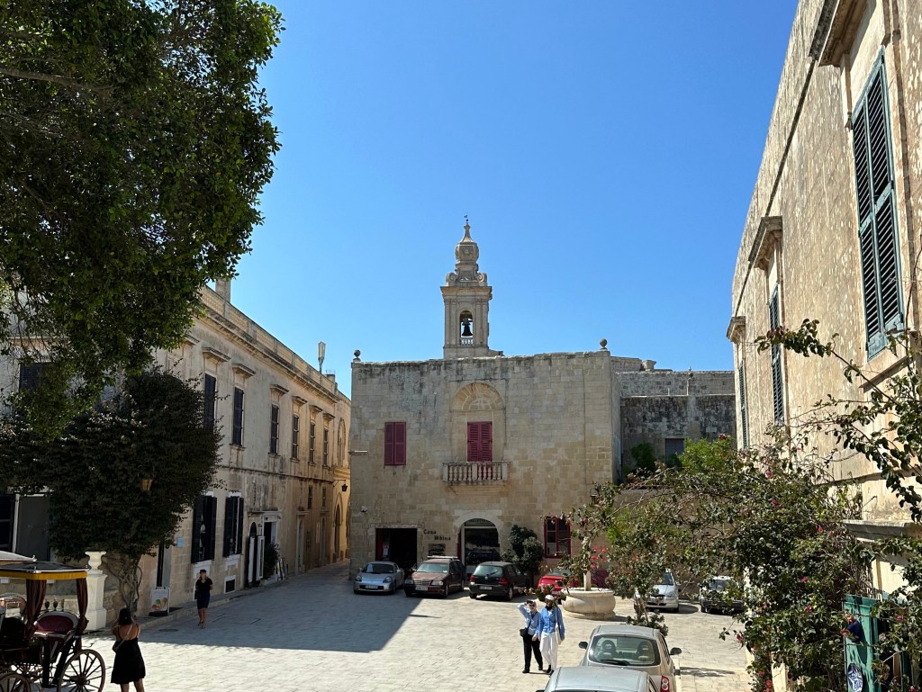
Inside Mdina proper, on the other side of the Main Gate:

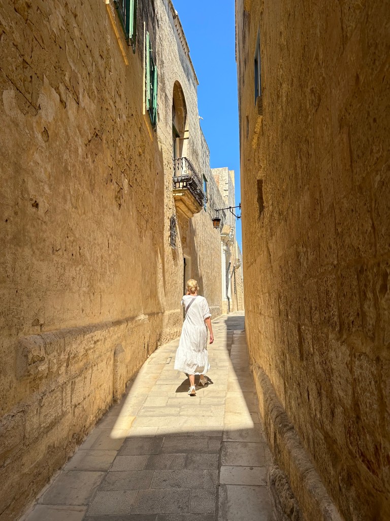
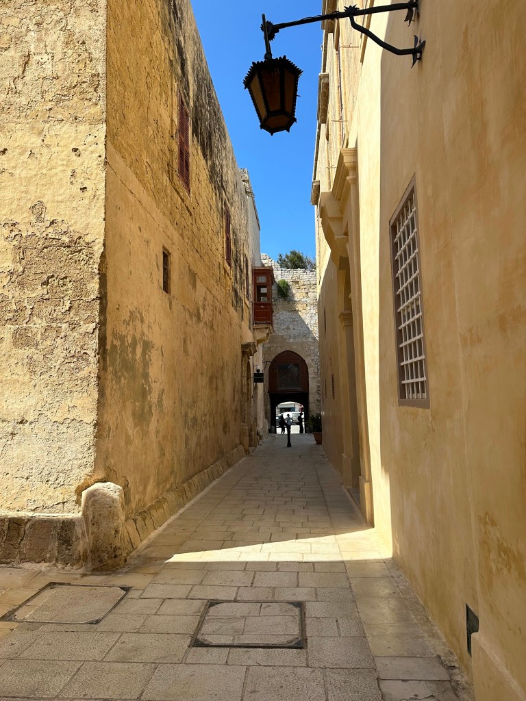
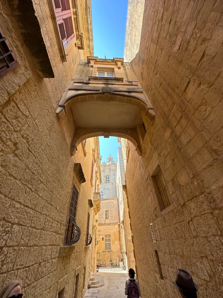
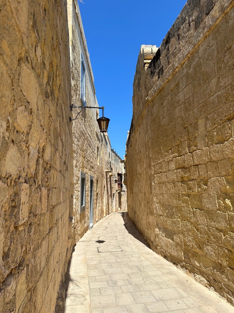
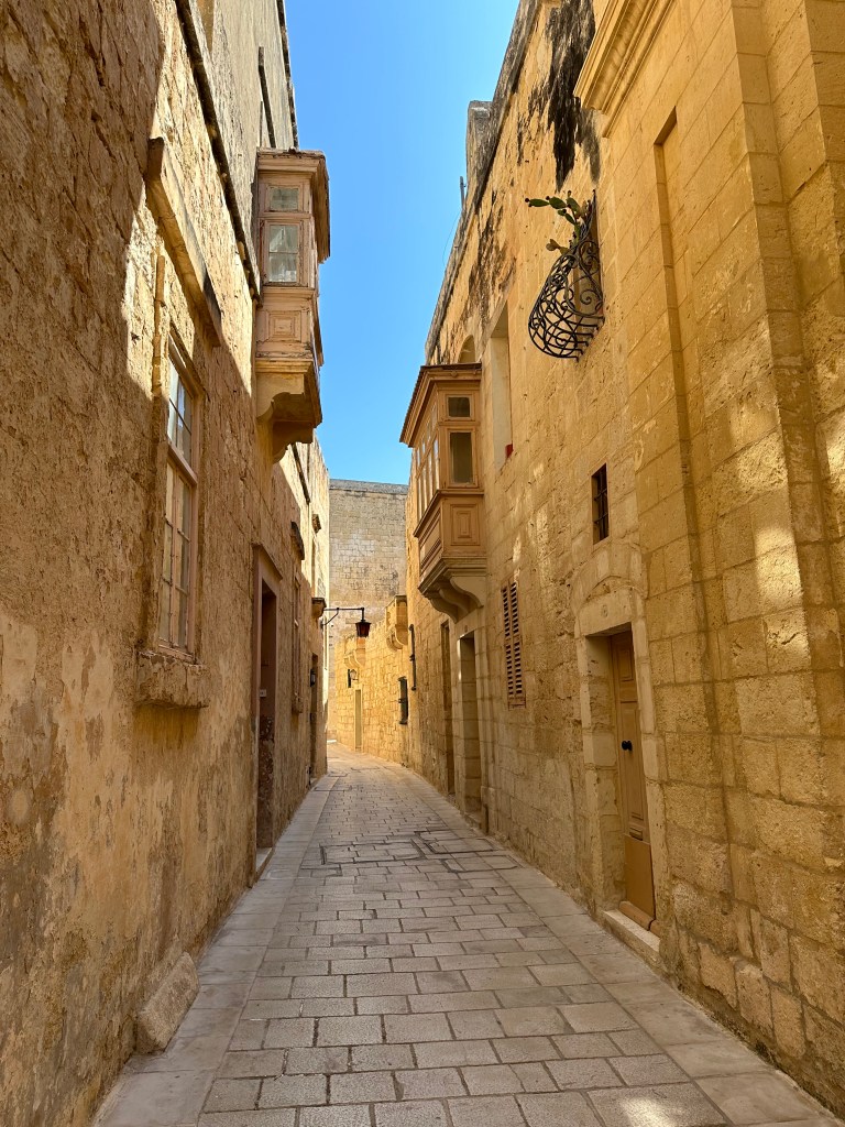
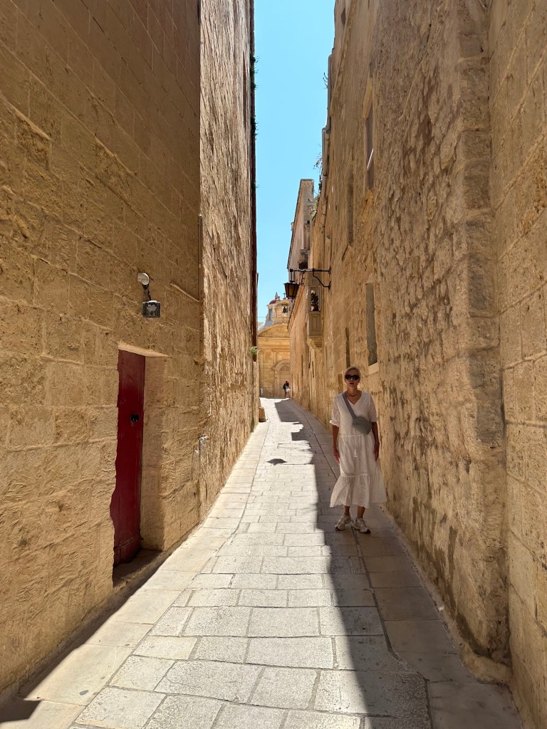
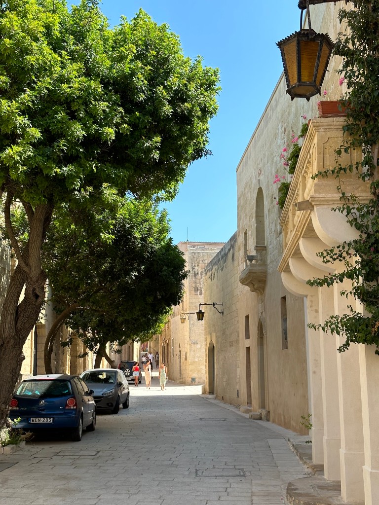
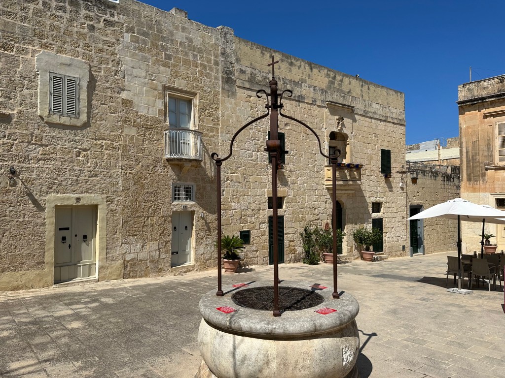
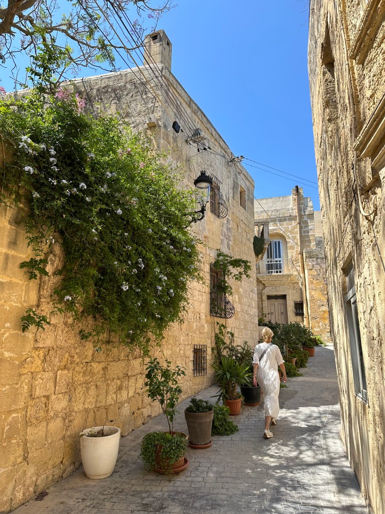
And this is what the entire town is like: sun-baked, narrow alleyways flanked by golden limestone:

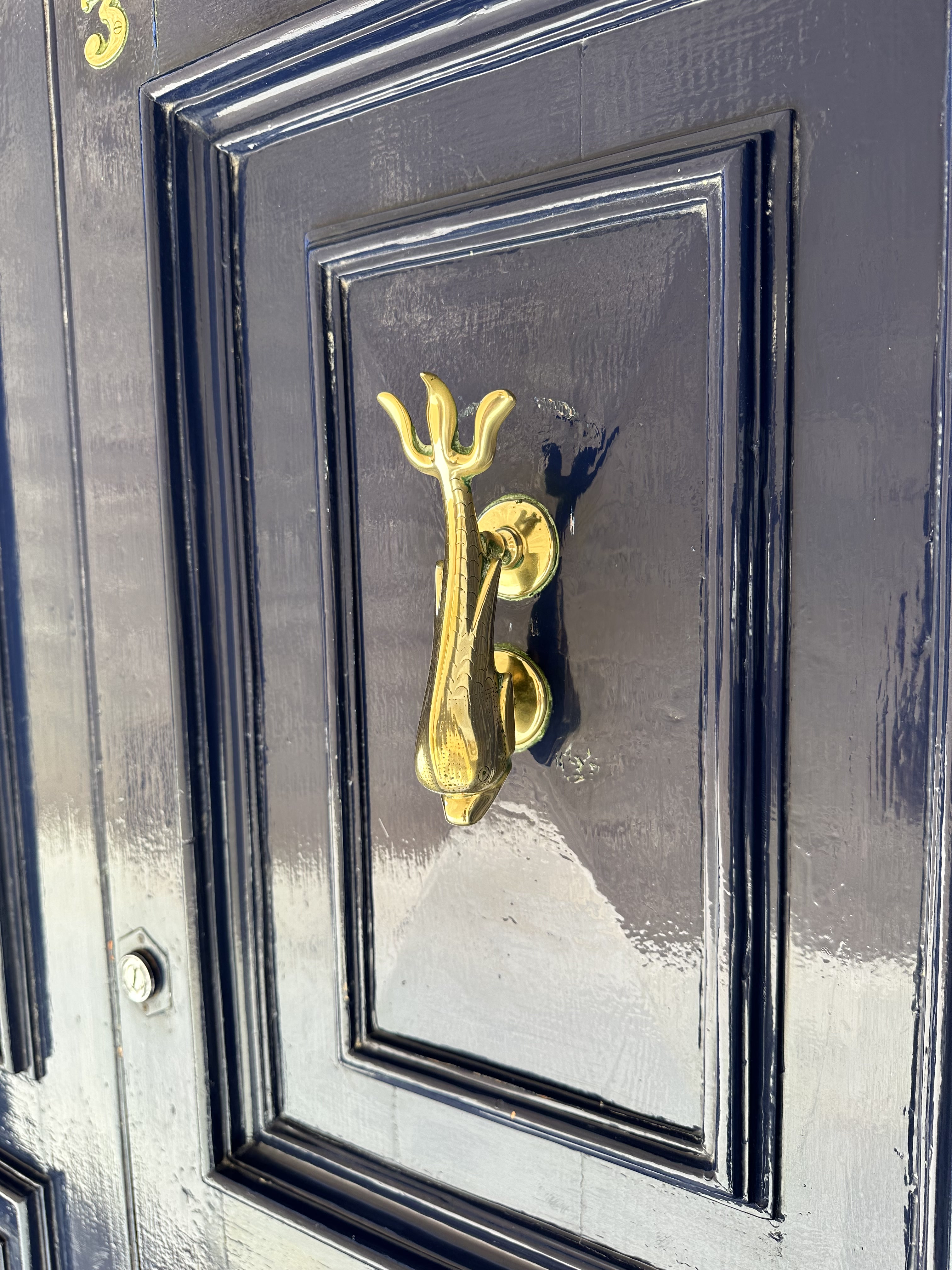
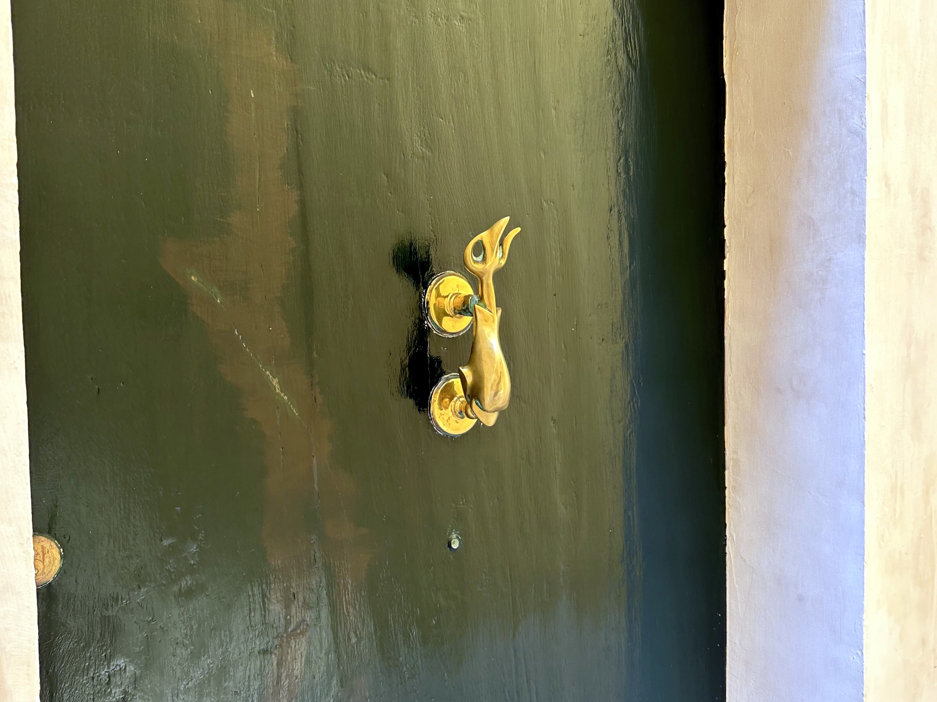
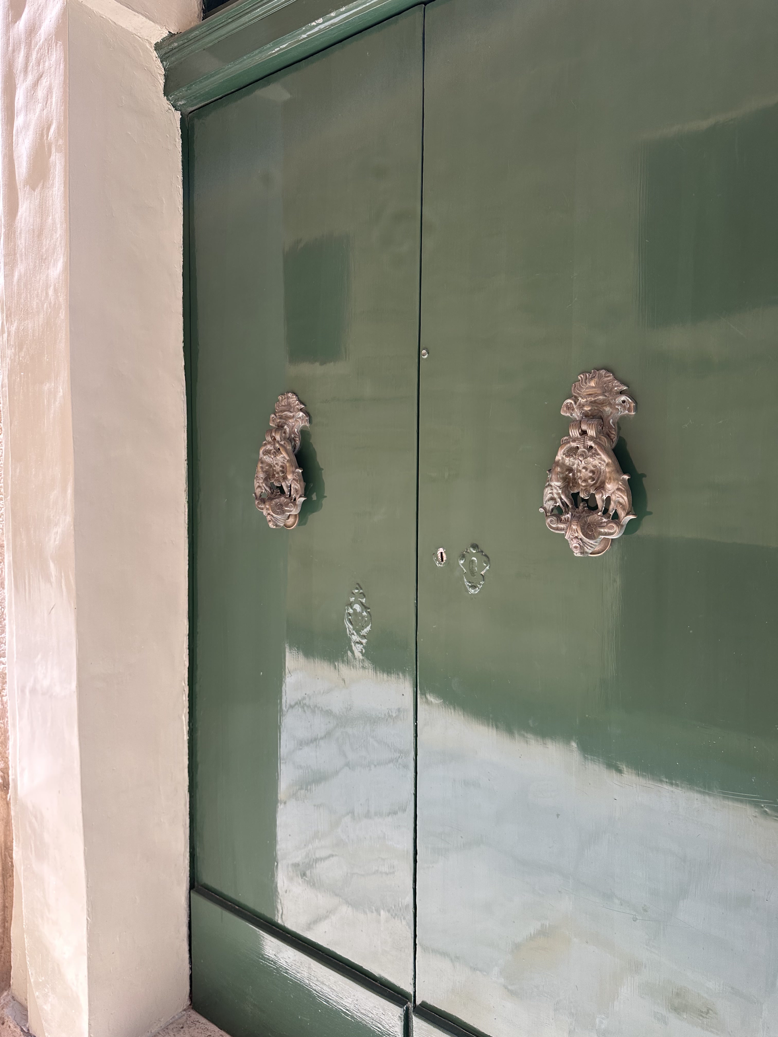
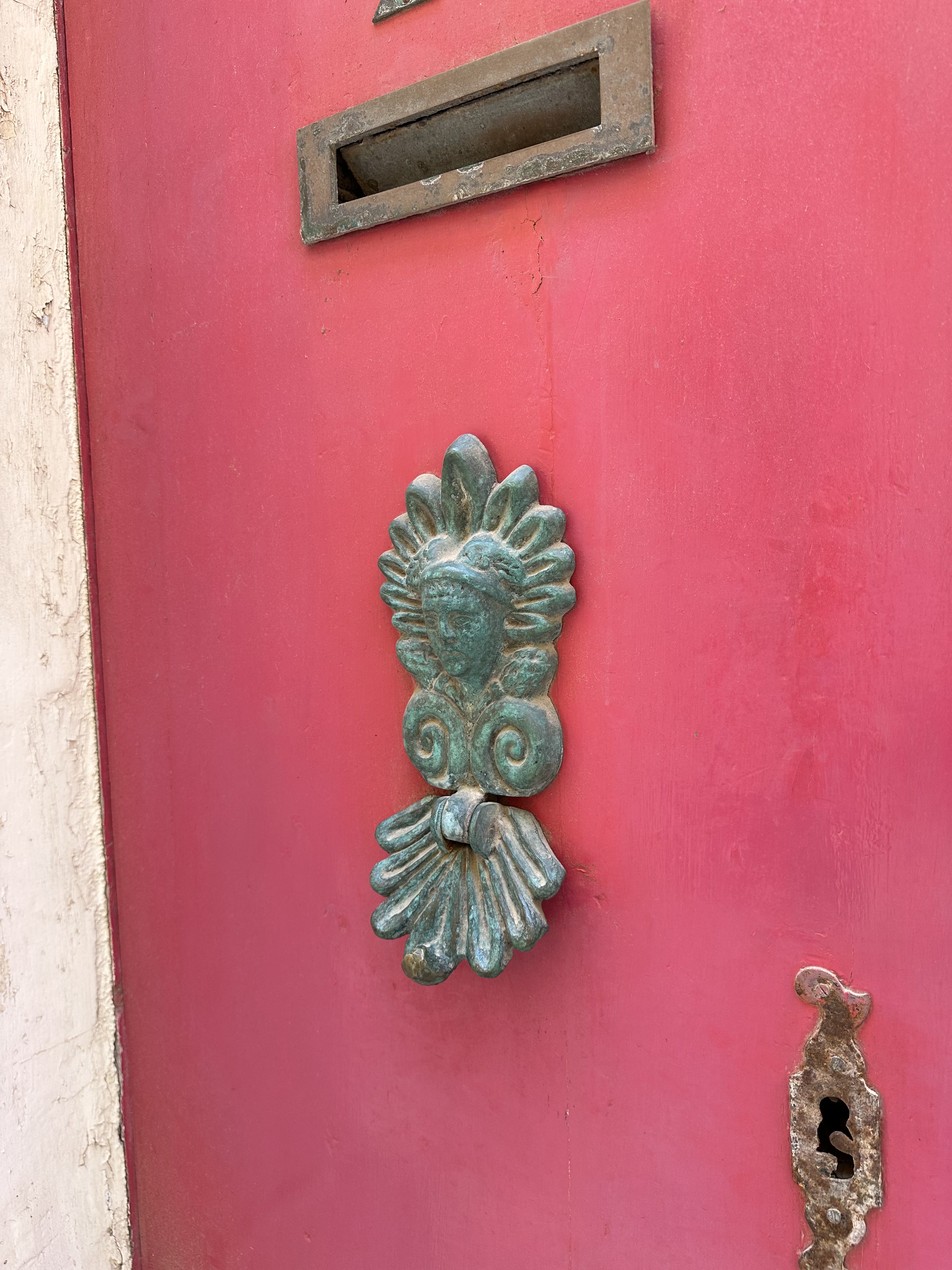
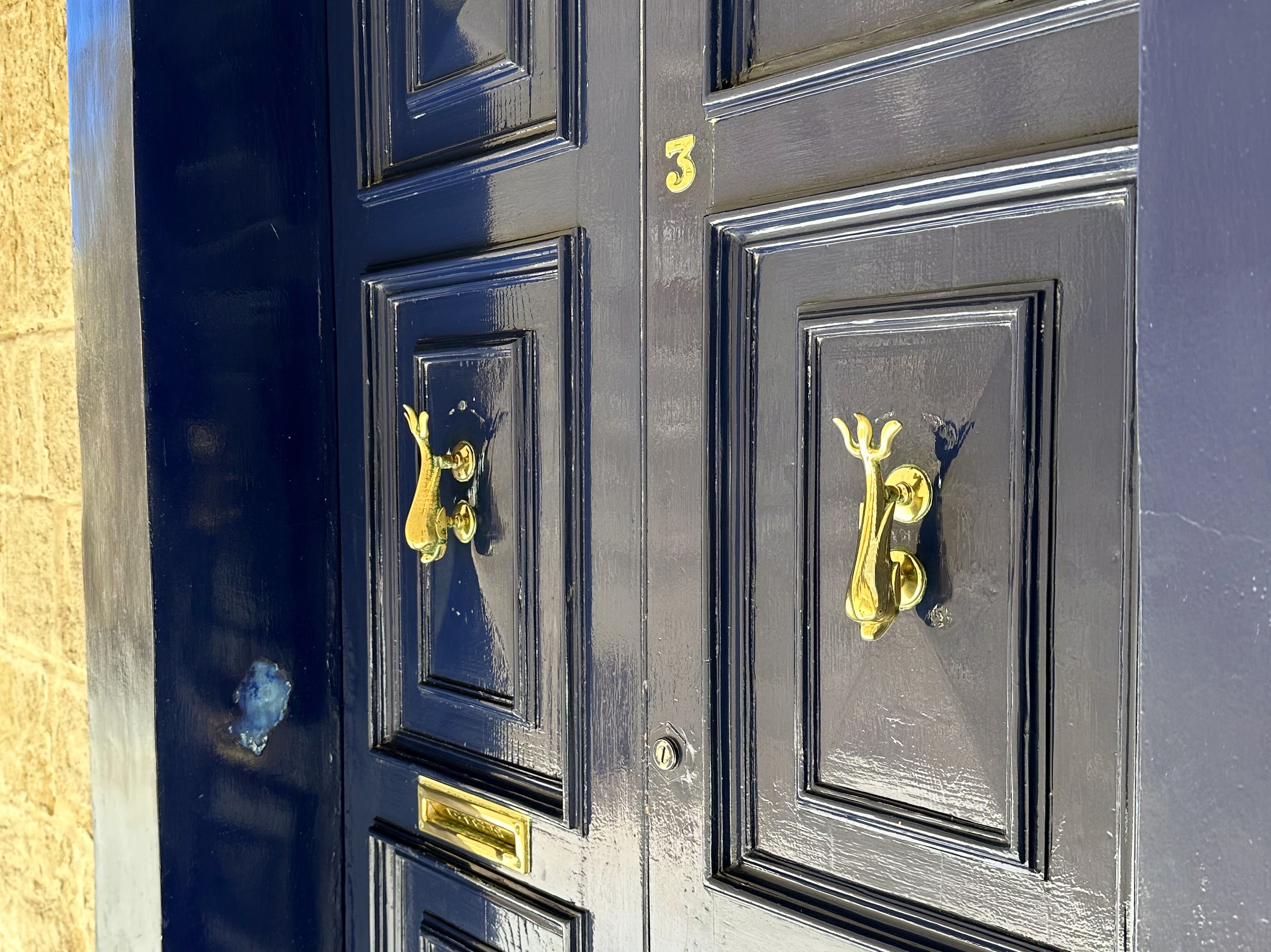
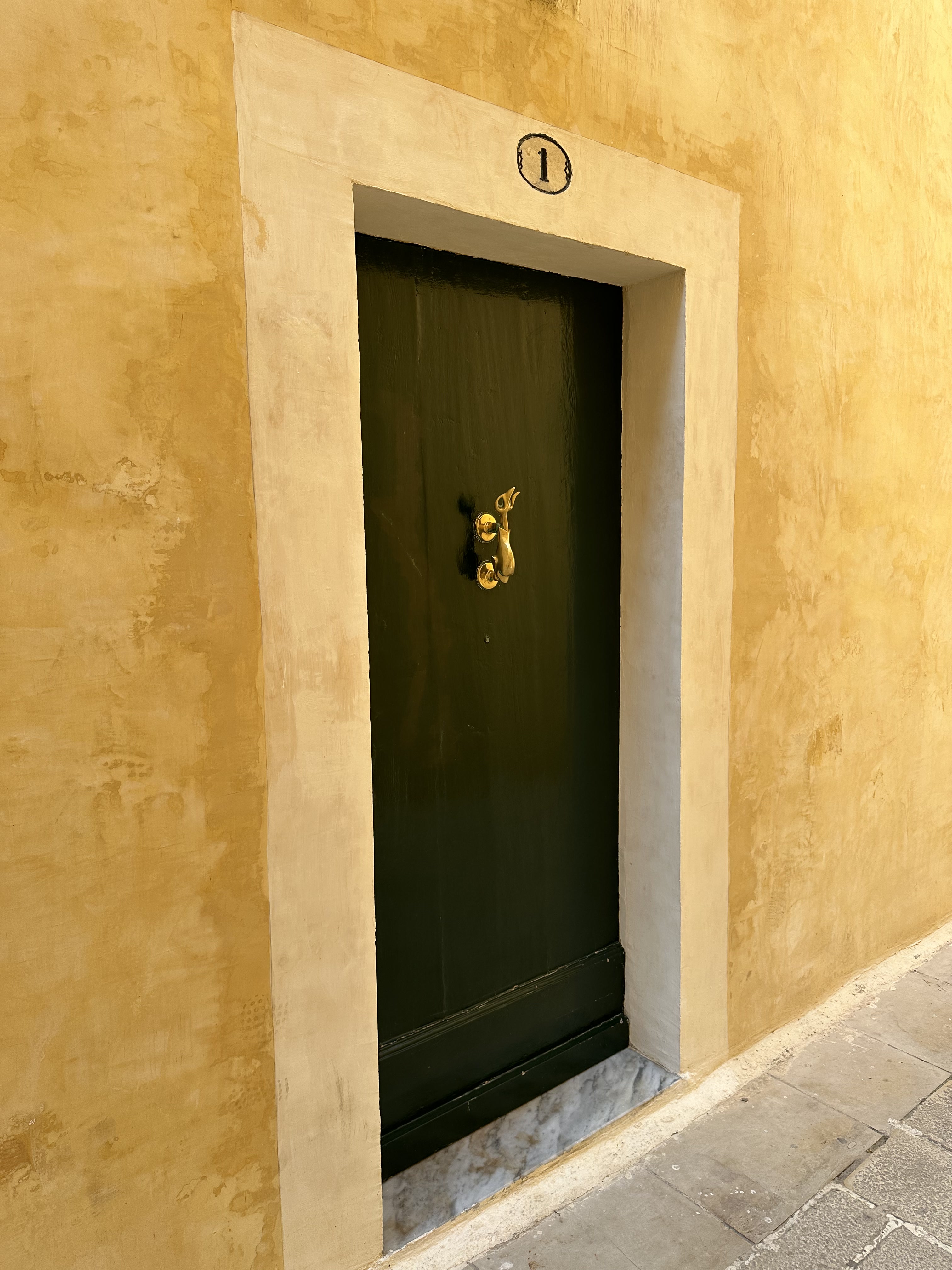
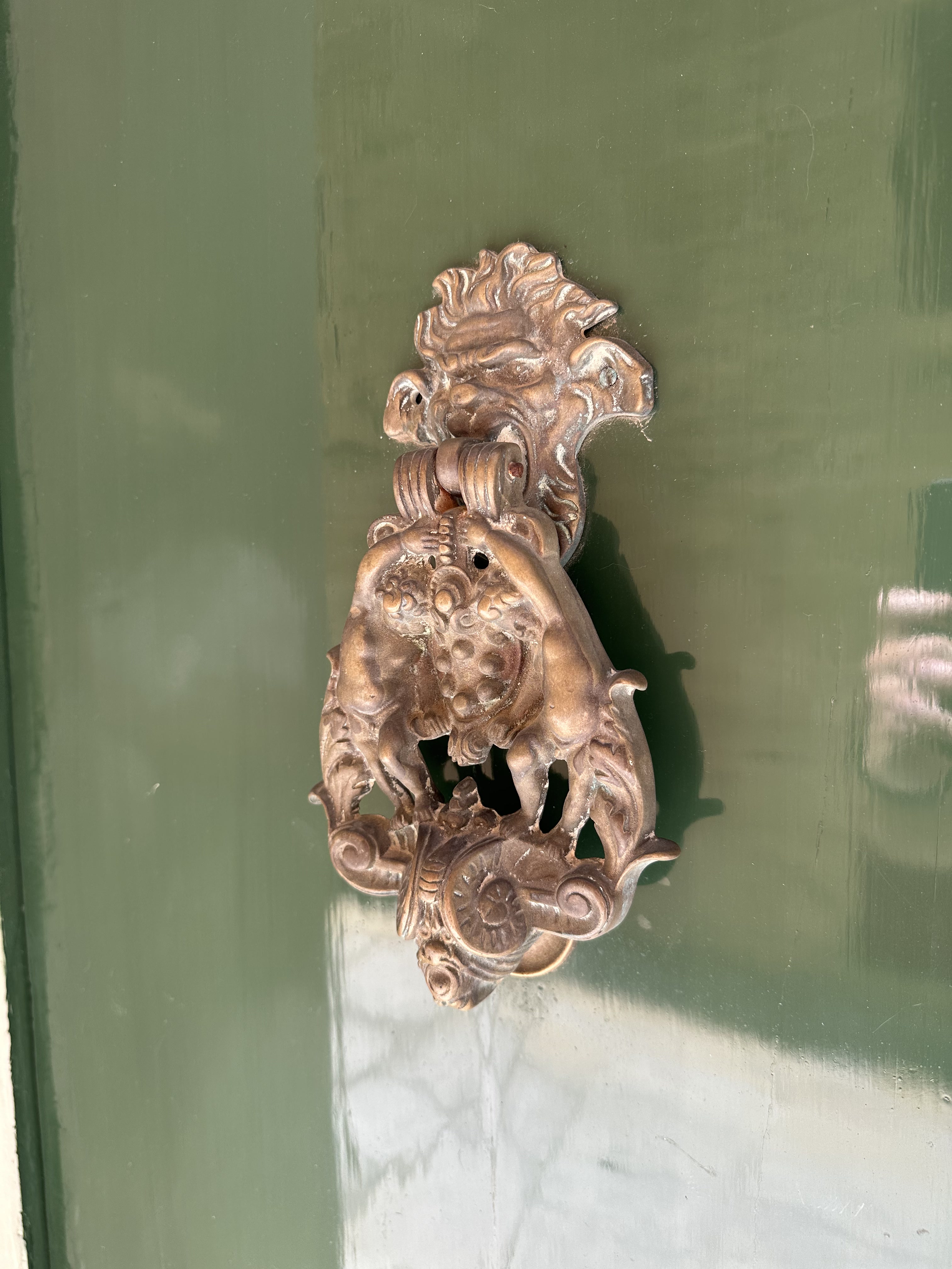
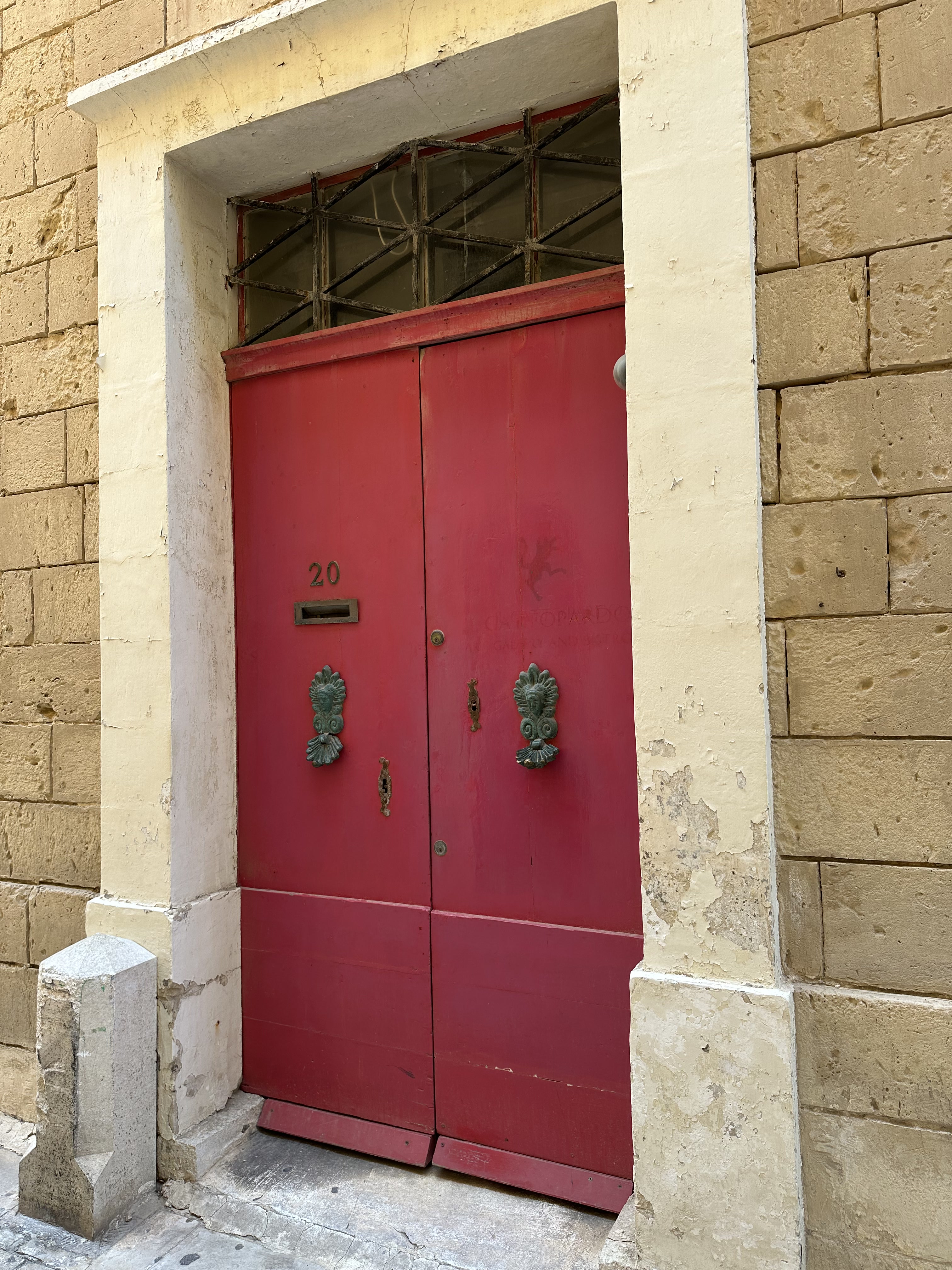
Punctuated occasionally by colorful doors and knockers:

Heading back through the Main Gate, and down the street. . .

to Rabat, the ancient suburbs of Mdina. Replete with Valletta-style gallarija.

And down the street, much to the excitement of one and definitely not the other WolfeStreetTravler, to. . .

More catacombs! This will be our fourth set on this trip alone; first in Matera, then, the absolute grossest in Palermo, and TWO in Syracusa.

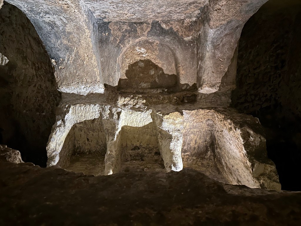
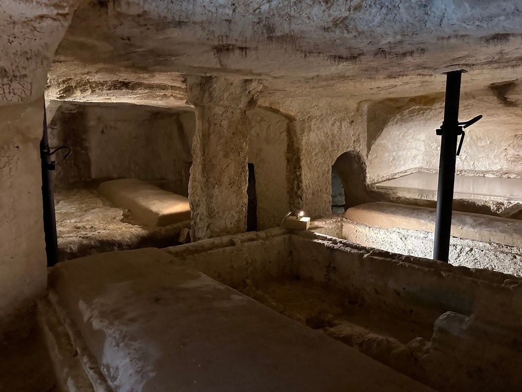
St. Paul’s Catacombs, located in Rabat just outside Mdina, form one of Malta’s most important ancient burial complexes, dating primarily from the Phoenician, Roman and Byzantine periods, but they continued to be actively used into the 7th or 8th century AD.

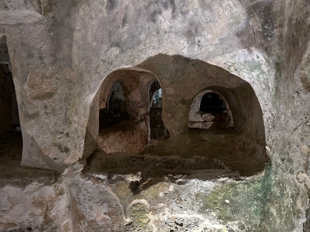
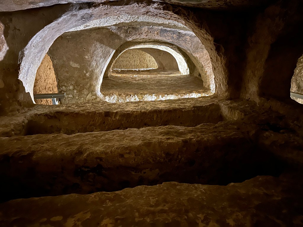
Carved into the island’s soft limestone, the underground complex contains an intricate network of burial chambers, corridors and rock-cut tombs that once formed part of a much larger cemetery outside of what was the Phoenician (and later Roman) settlement of Melite that predates Mdina and Rabat.

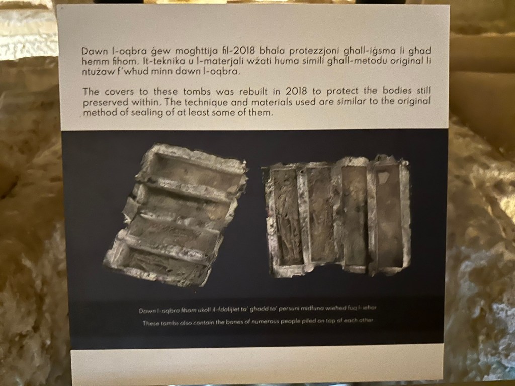
Hundreds of tombs across a complex of 24 interconnected catacombs are down here.

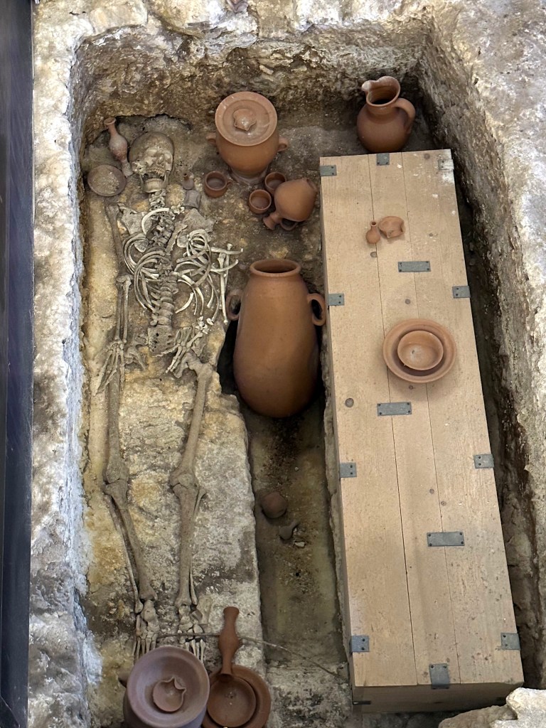
Most are now empty.

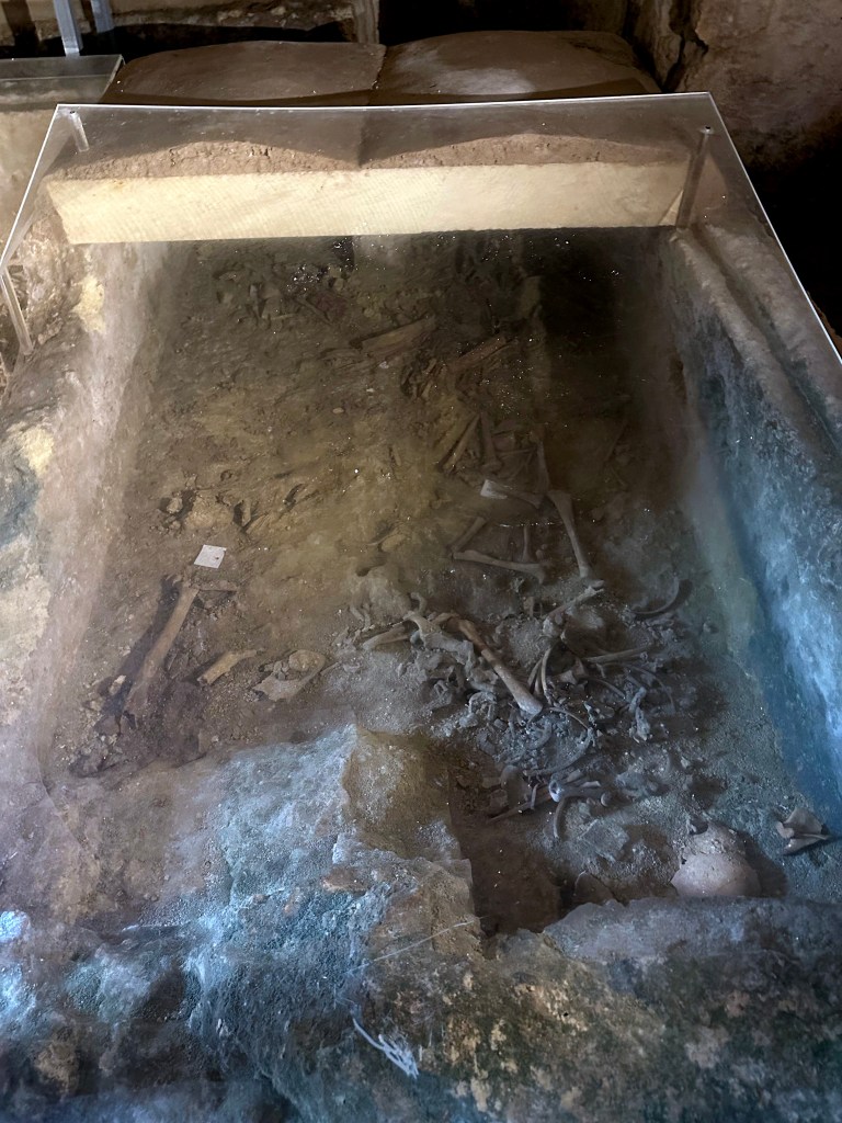
Some most certainly are not.

Every space was optimize to fit more bodies in.

Although tradition associates the catacombs with St. Paul, who was said to have been shipwrecked on Malta in AD 60, there is no archaeological evidence that he ever visited or was buried here. What makes the site especially compelling is the coexistence of pagan, Jewish and Christian burial traditions, offering a remarkable glimpse into Malta’s religious and cultural transformation during late antiquity.

Heading back out.

What to do now that we’re back in the glorious sunshine of a Maltese afternoon?

More catacombs! This time St. Agatha’s, just down the road. (This pretty much put an end to the catacomb visits; one of the WolfeStreetTravelers definitely had enough of this nonsense during the current trip, although her indulgence up until now was pretty amazing.)

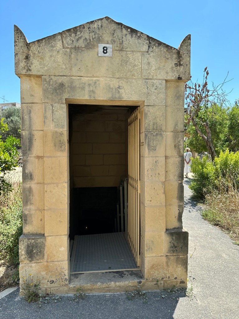
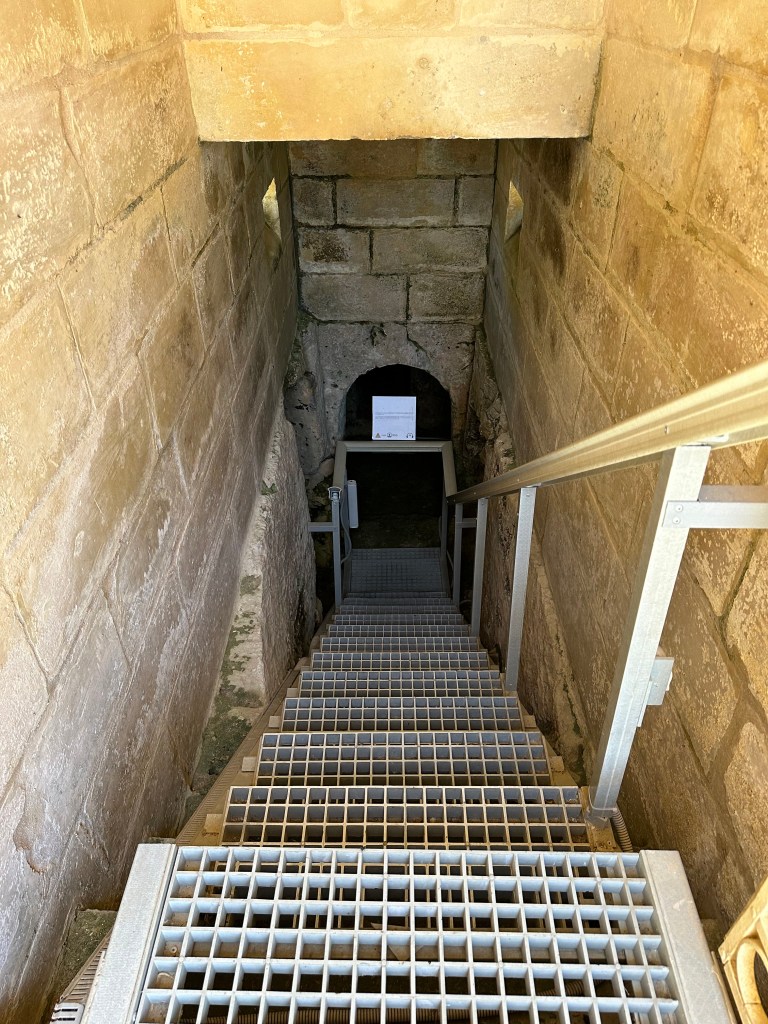
Unlike St. Paul’s, which has one central entrance, the catacomb complex at St. Agatha’s offered multiple, small individual entrances / access shafts.

Entering each catacomb was a little reminiscent of Maxwell Smart and the phone booth at the start of the show.

As with St. Paul’s, St. Agatha’s catacombs complex contain a mixture of Phoenician/Roman, Jewish and Christian burials.

Some of which had fresh tomb tops (not to be confused with mummy tube tops).

One of the occupants:

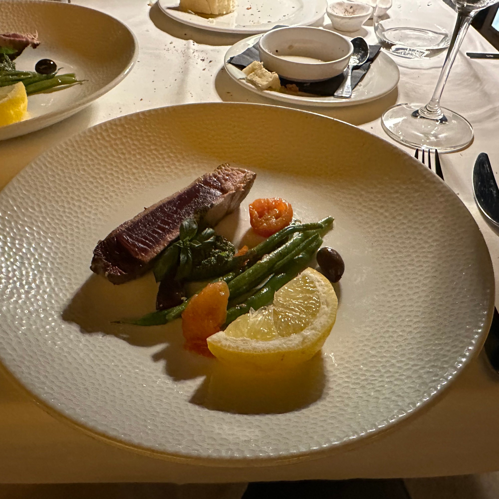
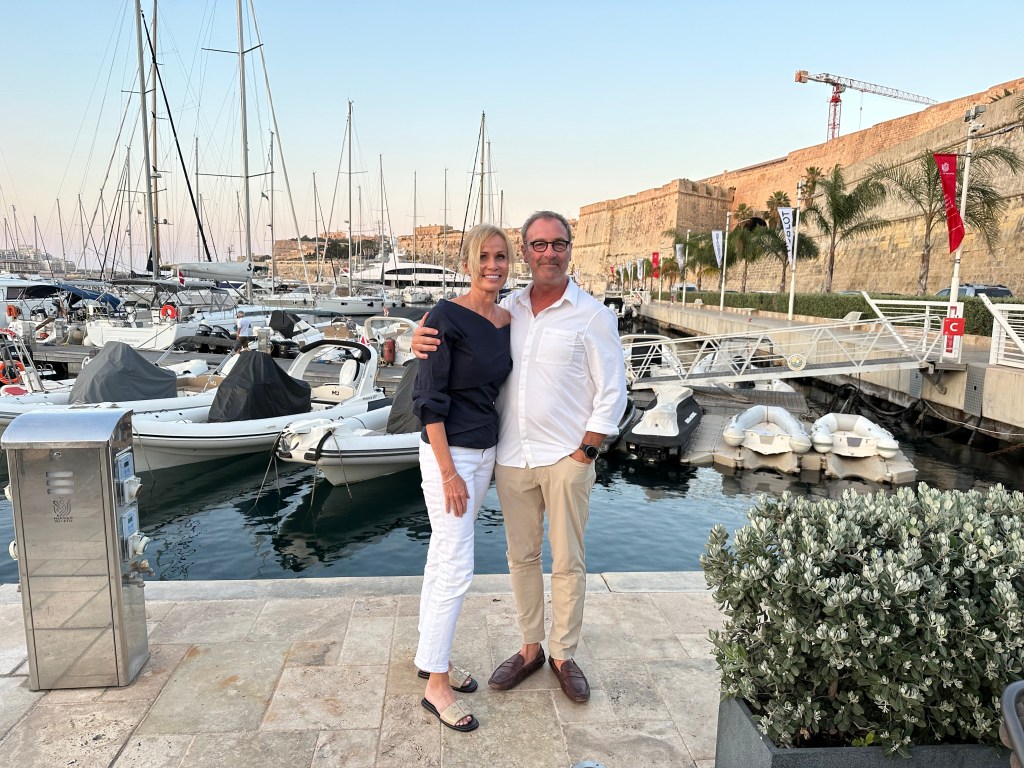
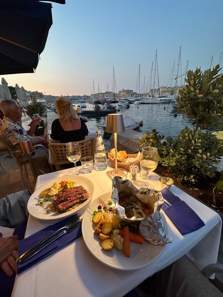
Back on Senglea and the Grand Harbor, our final dinner before heading to France for our penultimate leg. We bookended our stay on Malta by dining at the same restaurant at which we had our first, awesome lunch upon our arrival. Good call.

The experienced enhanced by these dudes rowing by in a plastic crate.

Next up: back to France!

Categories: A Prolonged Foray to Europe, Malta | Tags: , , , , , , , | 1 Comment

Protected: Christmas 2022 – Baltics and Back to the Netherlands: Haarlem

This content is password-protected. To view it, please enter the password below.

Categories: Europe, Netherlands | Tags: , , , , | Enter your password to view comments.

Christmas 2022 – Baltics and Back to the Netherlands: Tallinn

After a couple of days in Haarlem, we headed to the first of our actual Baltic destinations: Estonia and its capital city of Tallinn. We were hoping for snow, and we got some! (Initially, anyway.)

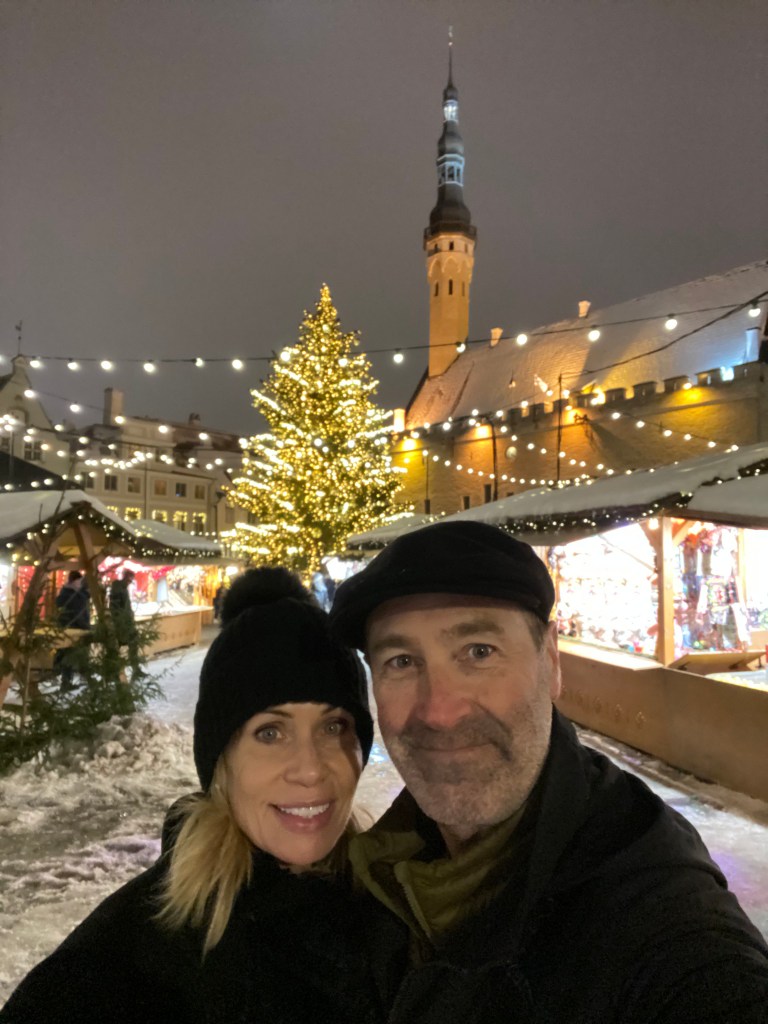
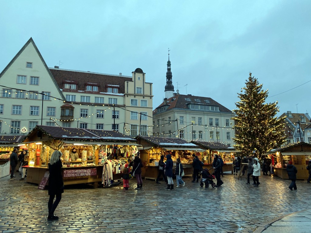
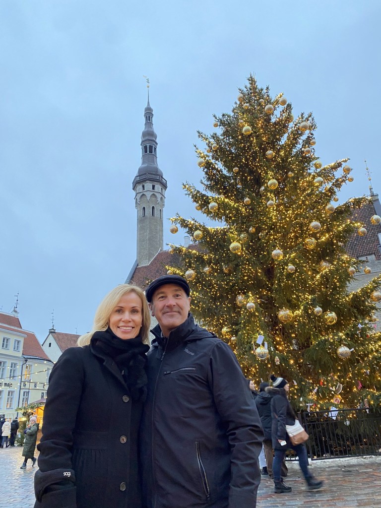
Tallinn’s main square and Christmas Market on our first evening – perfect!

But the next day (and throughout our stay), the snow on many of the streets and squares turned a little slushy.

Definitely more of a winter, Christmas atmosphere than Alexandria, but still. . .

Tallin’s settlement dates back thousands of years but the first fortress appeared around 1050 AD, demonstrating the importance of the town to the north Estonia region.

As a trading town on the Baltic coast, the town (then known as Reval) became a member of the Hanseatic League in 1285. We previously visited the Hanseatic towns of Lübeck and Hamburg in Germany and Bergen, Norway. (Riga, Latvia, another Hanseatic town, would be our next stop on this trip. Apparently, Berlin, Cologne, and Krakow also were Hanseatic towns due to the river system, but we have decided to ignore this because they’re not on the Baltic coast.)

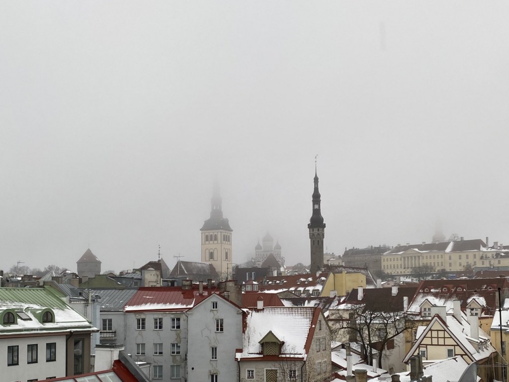
Snow still covered some streets – very cool medieval town.

Tallinn Old Town is one of the best-preserved medieval cities in Europe and is listed as a UNESCO World Heritage Site.

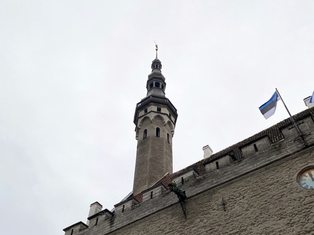
The spire of Tallinn’s Town Hall:

The town hall was first mentioned in 1322,

but the structure actually dates back to the 1200s.

It’s the oldest surviving town hall in Europe.

At the top of the spire stands Old Thomas, first placed there in 1530.

The figure memorializes a peasant who became famous for winning a crossbow competition held by the Baltic German Elite.

The tower – and Old Thomas – was damaged in 1944 during a bomb attack during the war. A new Old Thomas went up with the repaired tower in 1952, but it was weathering too much, and the Estonians put another one up there in 1996. The 1952 Old Thomas hangs out in the Tallinn City Museum. Nice codpiece.

Viru Gate – one of the original eight gates in Tallinn’s city walls.

The first wall around Tallinn was ordered to be constructed by Queen Margaret of Denmark in 1265 (Denmark controlled northern Estonia from the early 13th century until 1346, when the Danish king sold it to the Teutonic Knights).

Fully taking shape during the next three centuries, Tallinn’s city wall was one of the strongest defense systems in Northern Europe at the time.

Plus, there are chunks that are still intact and walkable (that’s Tower behind Monks in the background)

Not a lot of snow, but Tallinn proved to be pretty atmospherically wintery, nonetheless:

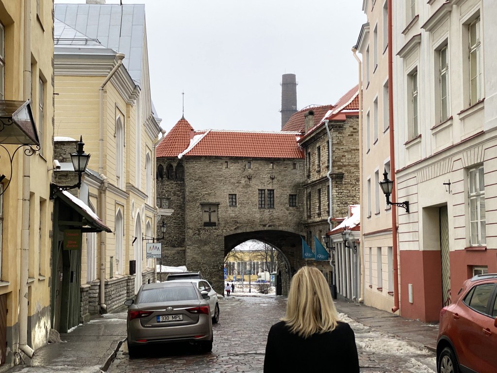
Located across town, we found Tallinn’s Great Coastal Gate, first mentioned in 1359:

The Great Coastal Gate was the most important gate when Tallinn was a Hanseatic town because it protected the main route for traffic between the port and the market square.

Above the gate stands an impressive dolomite carving bearing Tallinn’s coat of arms (from 1529):

Protecting the Great Coastal Gate? FAT MARGARET! Dating from the early 16th century, Fat Margaret not only served as a fortification against invaders of the town’s port but also a military monstrosity to impress visitors arriving by sea.

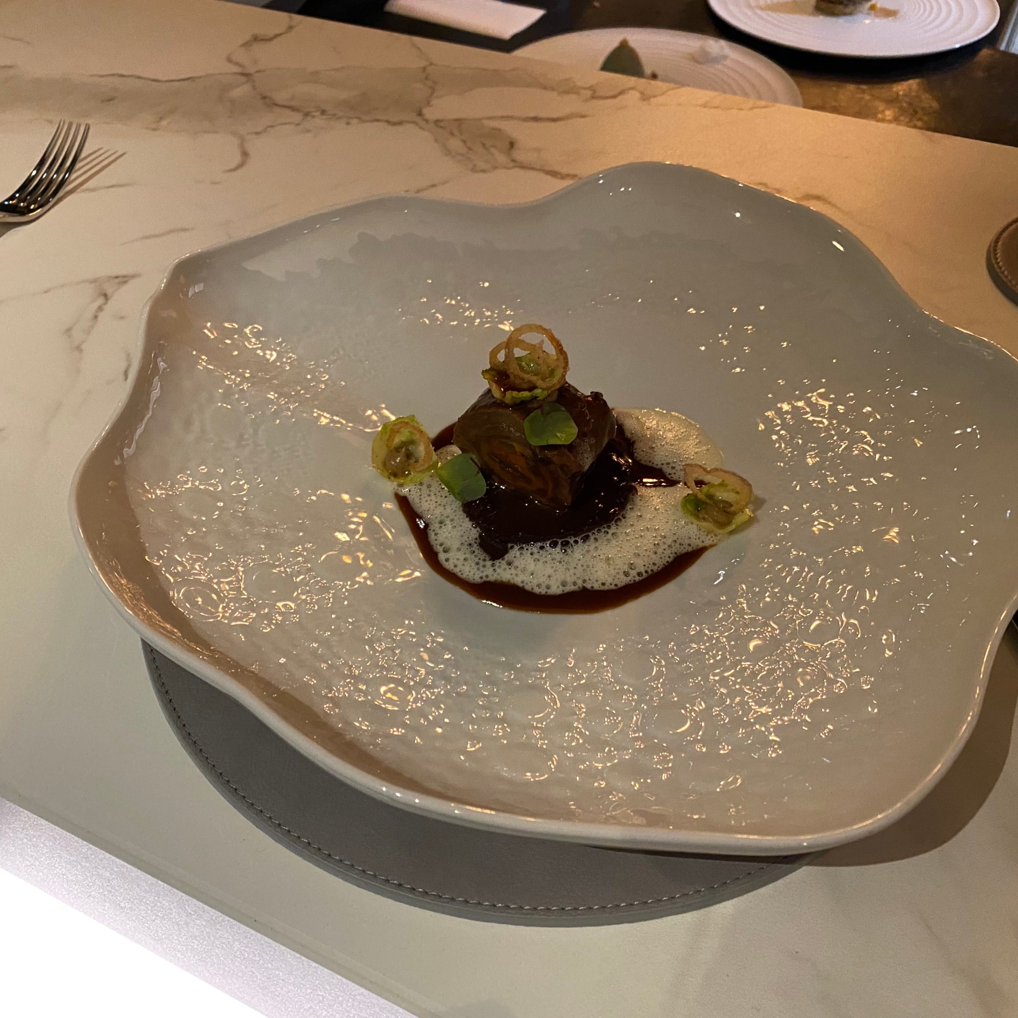
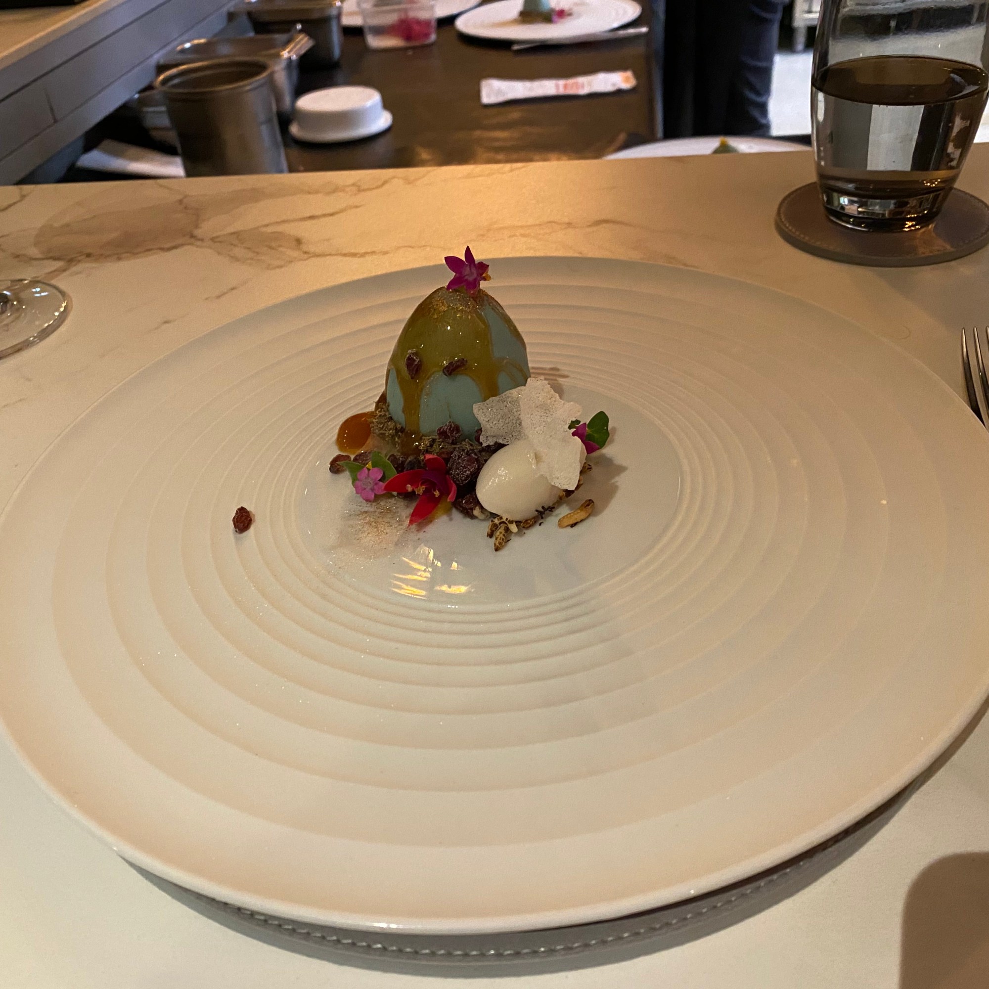
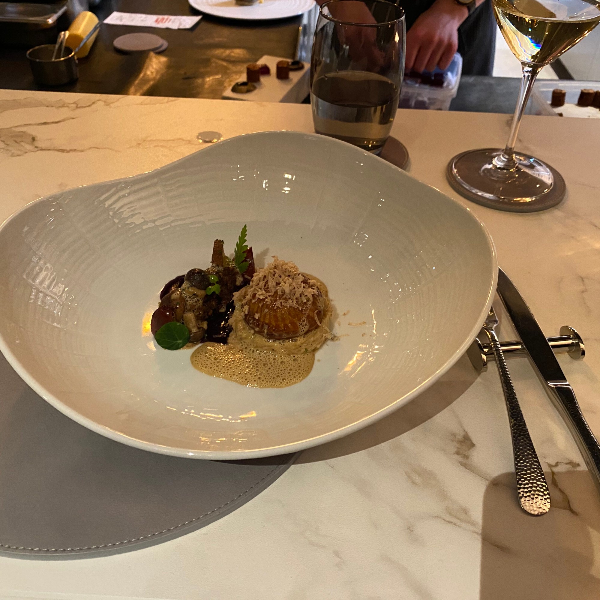
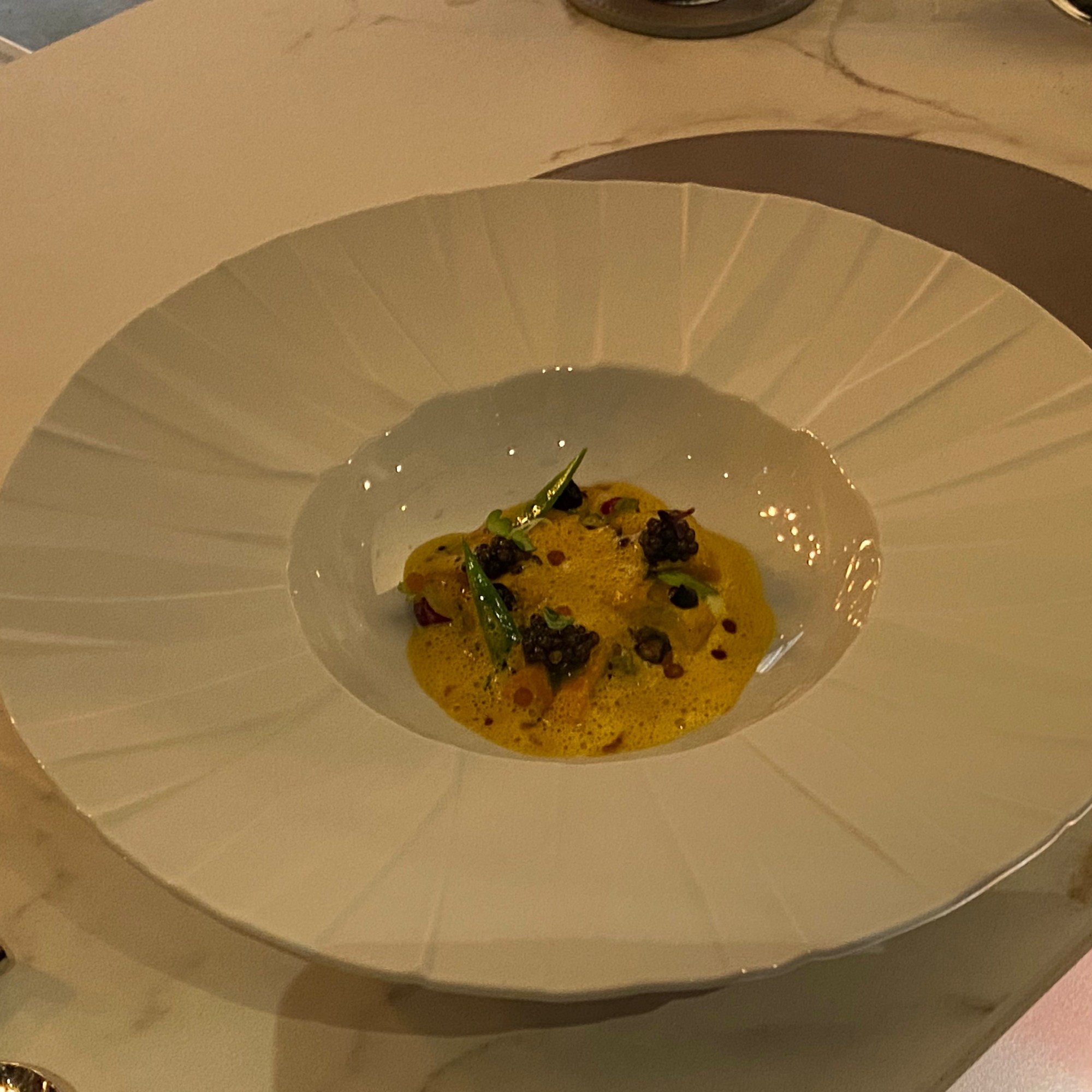
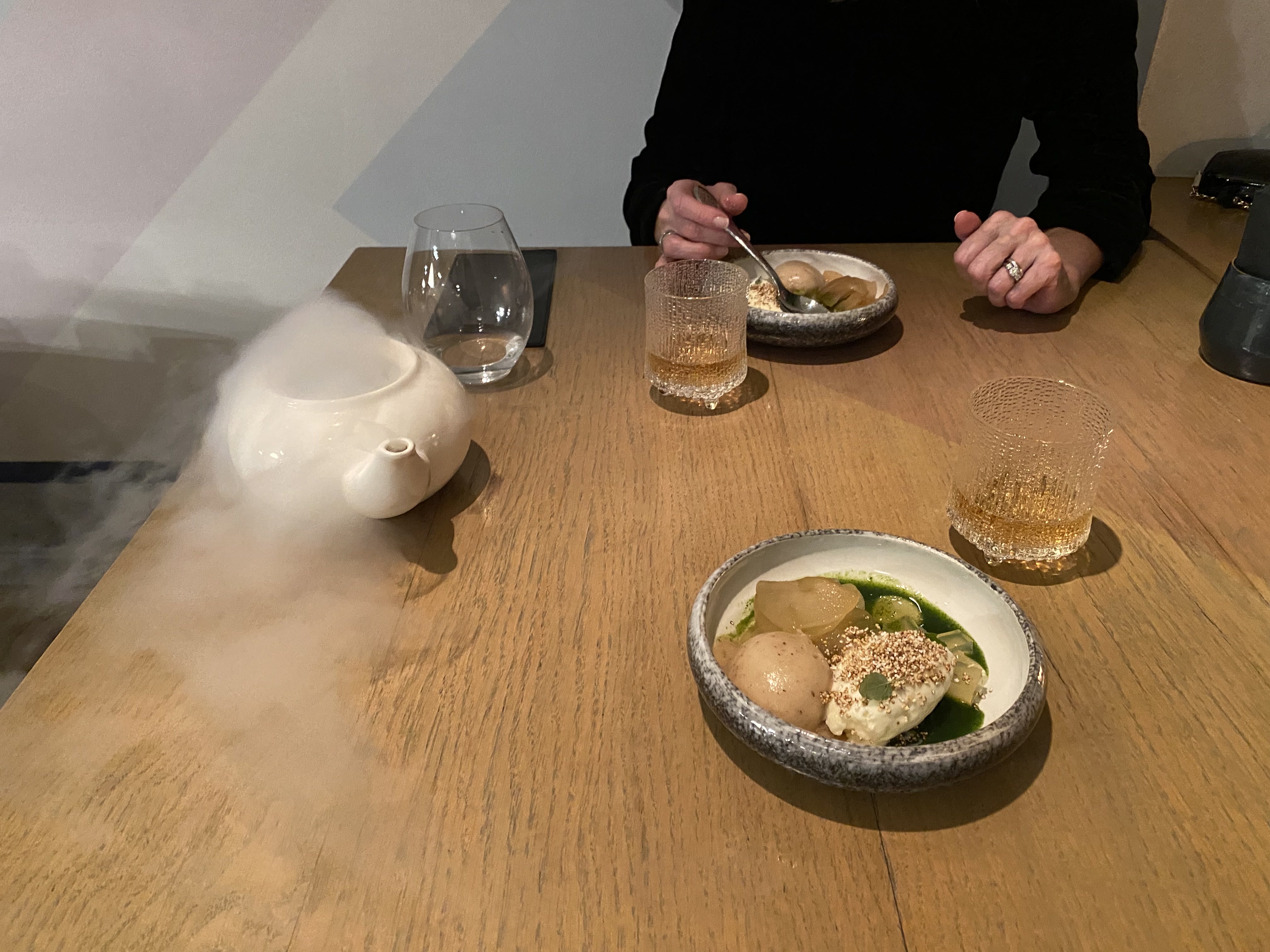
Michelin 2* dining experience at 180 Degrees:

Pretty good perch at the Chef’s Table

where we could watch all the cooking and prep work for multiple courses.

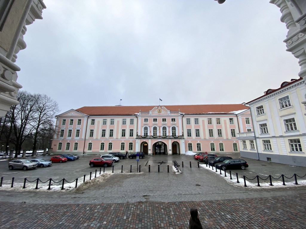
Heading up the next morning to Toompea, Tallinn’s central hill district, which is home to. . .

Estonia’s Parliament, the Riigikogu:

And also the Orthodox Alexander Nevsky Cathedral, built in the late 19th century:

Crests for local noble families along one wall:

Because the church was built when Estonia was part of the former Russian Empire, and because it represents Russian Orthodoxy, and because the Estonians are outraged by Russia’s aggression against Ukraine, there’s a movement in Tallinn to raze it and replace it with a park.

Back through the walls:

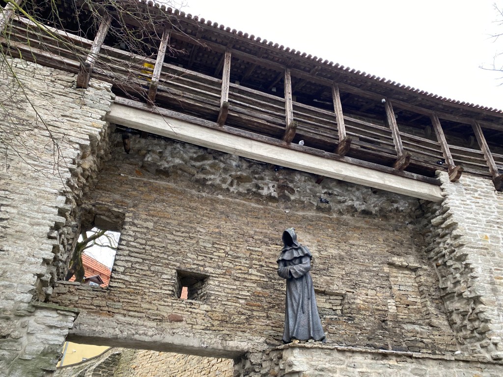
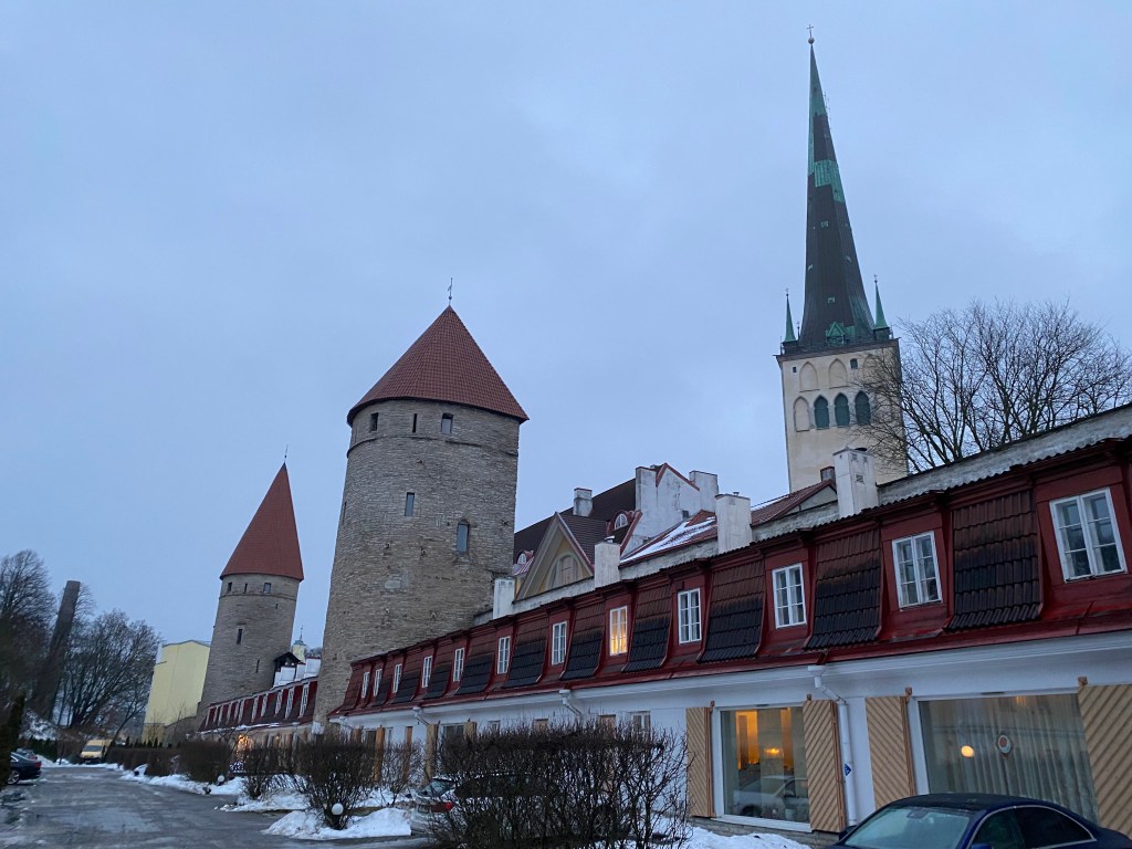
To yet another stretch of Tallinn’s extant city wall. Here, we have Kiek in de Kok (“Peek into the Kitchen”) on the left, an artillery tower so named because the garrison could see into the kitchens of the nearby houses; and Maiden’s Tower on the right.

And a creepy, faceless monk statue perched on one segment of the wall. This is one of three faceless monks in this area; this one is “Observing Monk.”

More city wall-and-towers action:

Loewenschede Tower:

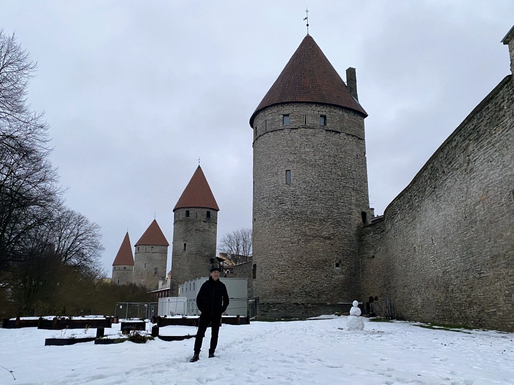
Enough with the tower names; here’s a buttload of towers. Definitely a cool, preserved medieval town.

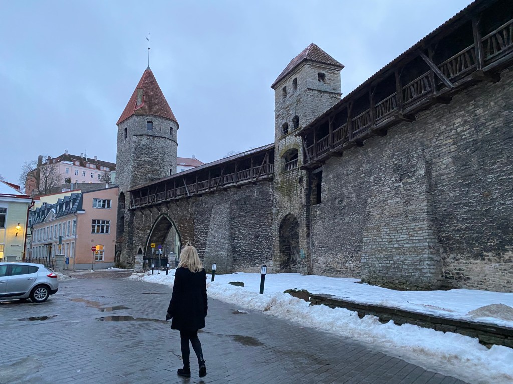
Heading to dinner one night; one cannot escape the walls, man.

Rataskaevu Street, where the novels featuring Melchior, the 15th-century Tallinn apothecary / amateur sleuth are set (or at least where his apothecary is located). The first book – pretty good! The second – should have been tossed down that well.

Featured in the Apothecary Melchior novels are Tallinn’s medieval guilds. The Great Guild hall, dating from the very early 15th century is right off the main square. It was used as the headquarters of various merchant and artisan guilds until as recent as 1920.

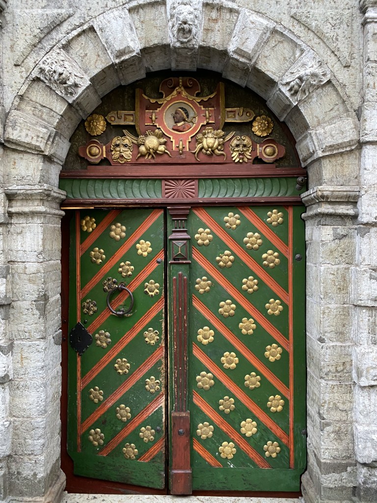
Aaand, the House of the Brotherhood of Black Heads. Also featured in the Melchior novels.

Described as a social club for single merchants and other tradesmen in the Melchior books, it “was a professional association of ship owners, merchants, and foreigners dating from the 14th century.“

“The House of the Blackheads was visited by several Russian Emperors including Peter I, Paul I and Alexander I who also became honorable members the Brotherhood.“

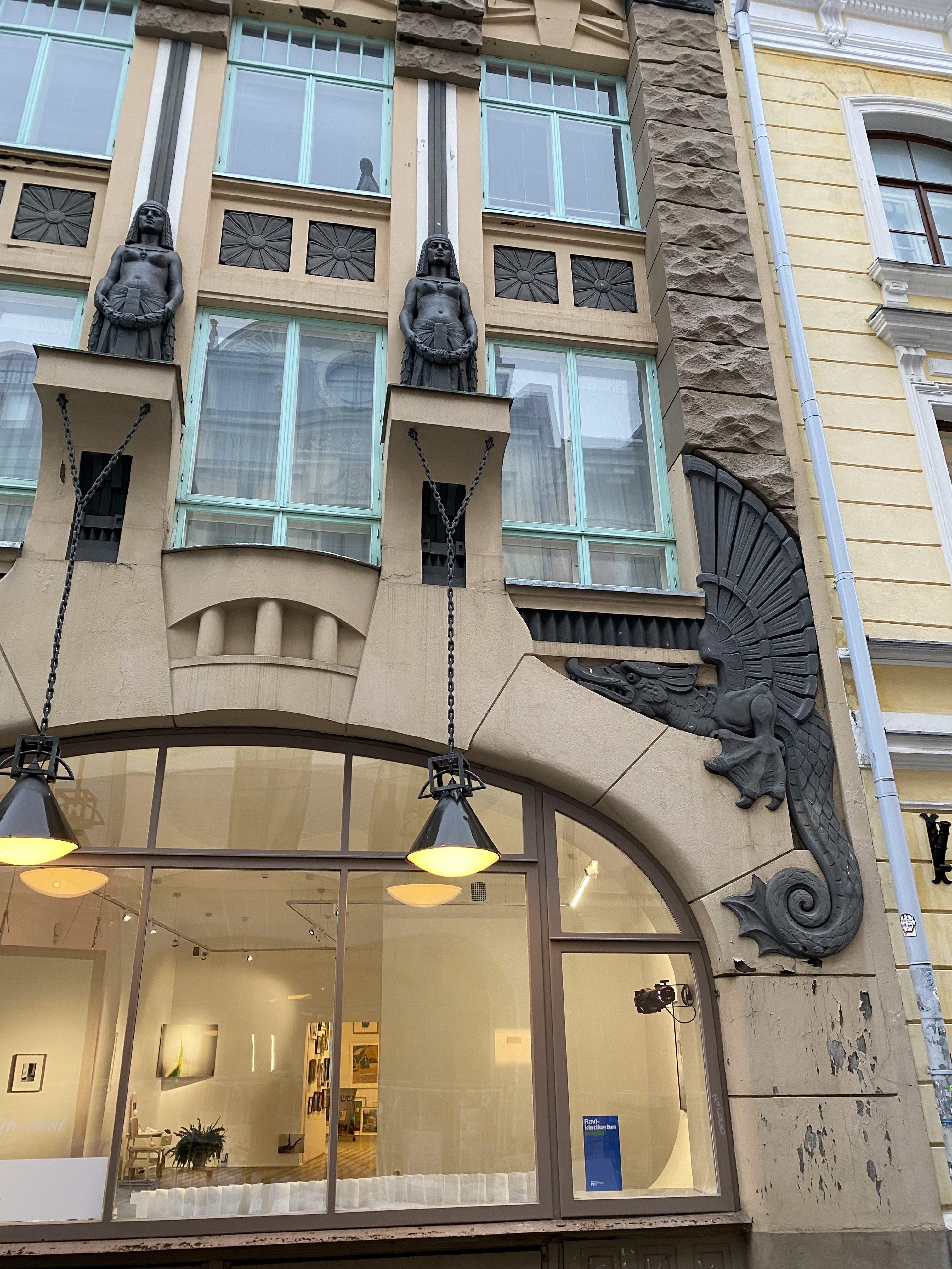
Just some Art Nouveau architecture down the street, which was pretty cool. (But NOTHING like we’d see later in Riga.)

Toompea at night.

Tallinn’s Victory Column on Freedom Square, commemorating the Estonian War of Independence at the end of WW I.

More winter scenes from Toompea’s stretch of wall.

Next stop: Riga!
Categories: Estonia, Europe | Tags: , , , | Leave a comment

Christmas 2022 – Baltics and Back to the Netherlands: Riga

From Tallinn, Estonia, we headed slightly south to the capital of Latvia: Riga.

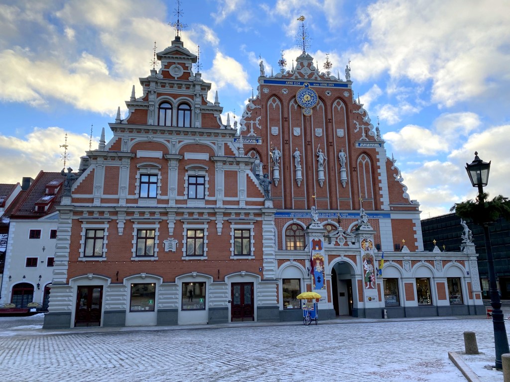
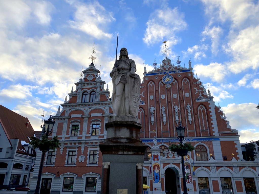
Although not a walled, medieval, historically preserved town like Tallinn, Riga nonetheless offered its own flavor of charm and architectural notability. Case in point, Riga’s own House of the Blackheads. As with Tallinn’s House of the Blackheads, Riga’s building housed the Brotherhood of Blackheads, a guild for unmarried merchants, shipowners, and foreigners in Riga.

Unlike Tallinn’s modest townhouse (albeit with a very cool door and lunette), Riga’s House of the Blackheads is huge and ornate. The original building erected in 1334 was the largest public building in Riga at the time.

Unfortunately that building, updated over the centuries, was bombed out of existence in 1941 during a battle between Germany and the Soviets. The Soviet government razed what was left in 1948, but it was rebuilt in the late 1990s based on extensive archeological studies.

Right around the corner from the Blackheads lies Riga’s capitol building. Very unassuming, we thought.

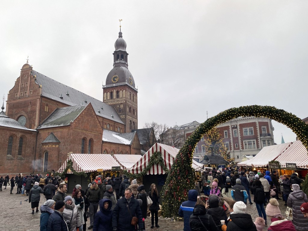
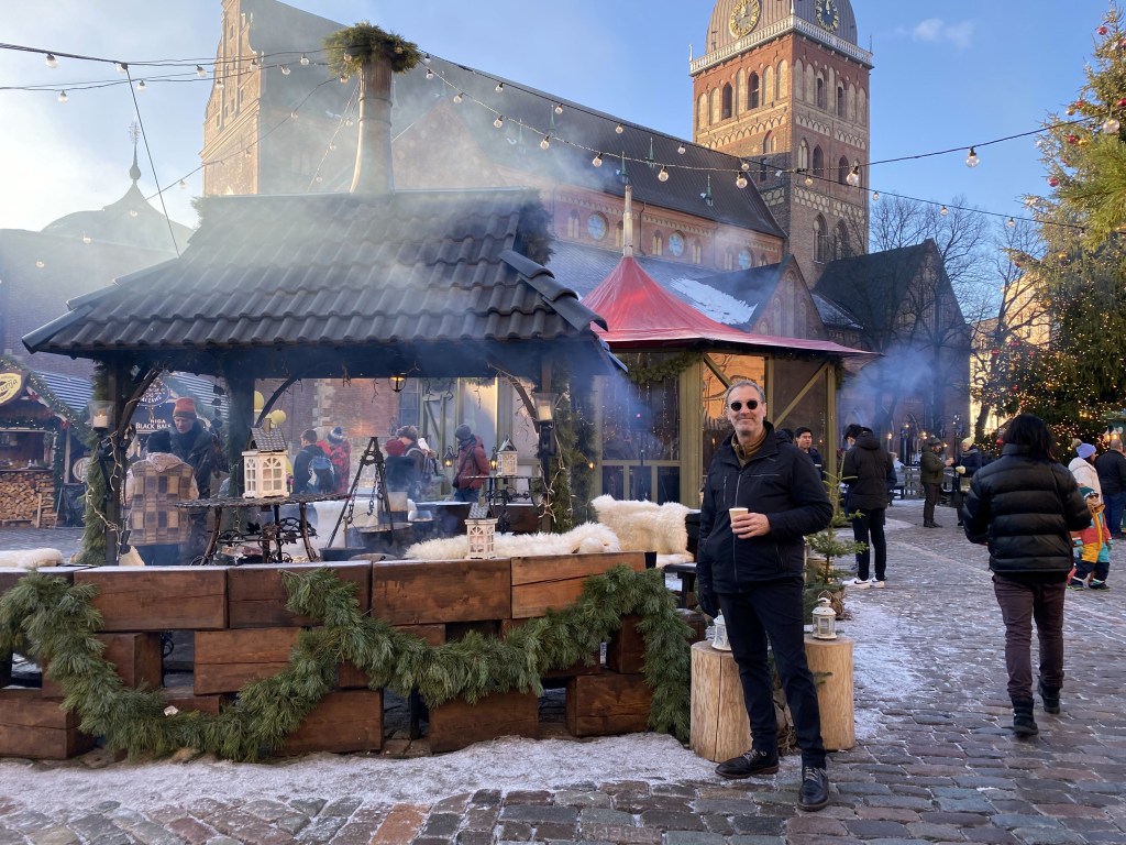
Riga’s Christmas market in the shadow of the Dome Cathedral was pretty great.

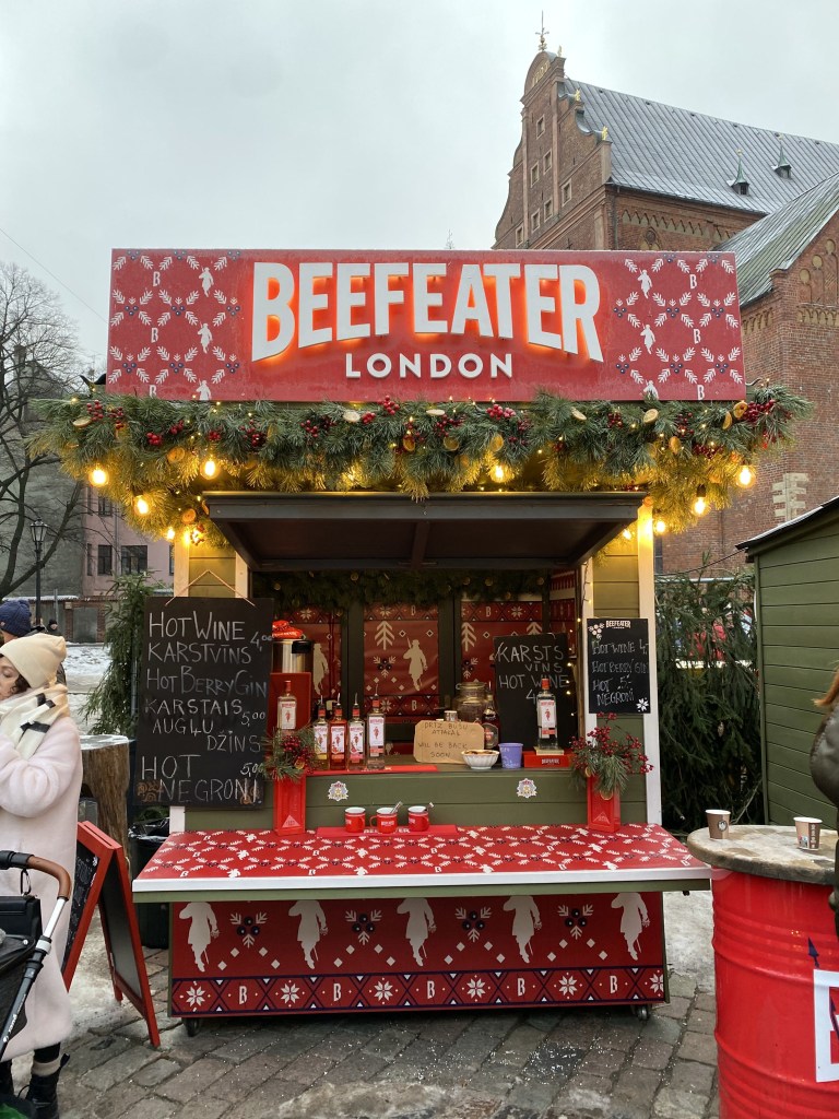
But some stalls were actually branded, which we’d never seen before, and gave areas of the Christmas market a commercial taint that we didn’t welcome:

Nonetheless, the overt booziness of the place was pretty cool – not just glühwein, but all sorts of booze, including – weirdly for both time and place – gin stalls.

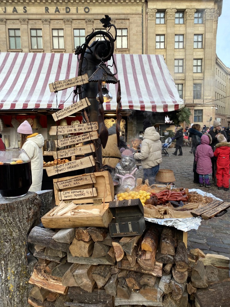
Lots of food. . .

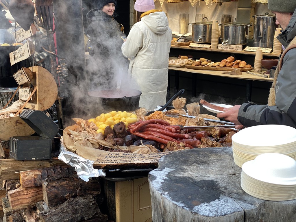
which had a distinct eastern Europe flair – check out the pig snout:

Or maybe it’s an entire pig submerged down there? Who knows.

Pigs a poppin’ in this place:

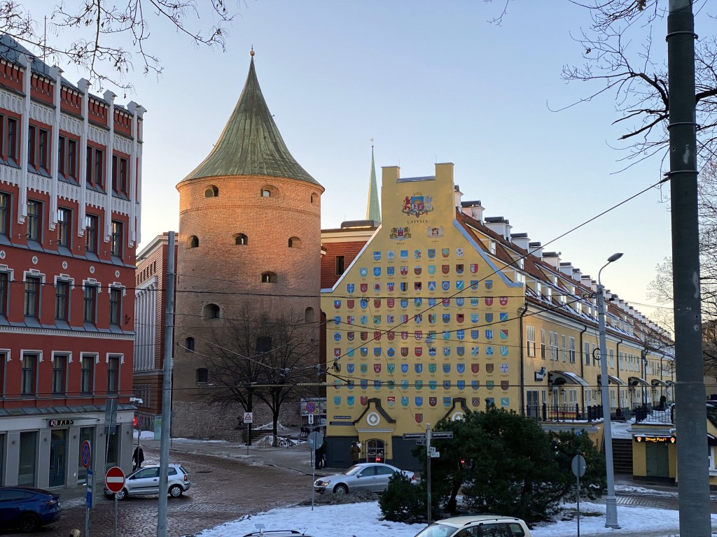
Riga’s Powder Tower, originally built in 1330 as part of the defensive wall system, that one was destroyed during an attack by the Swedes on the Polish-Lithuanian Commonwealth in 1621. (Livonia [which encompasses parts of multiple modern Baltic nations including Latvia] was a fiefdom at the time).

The current iteration dates from 1650.

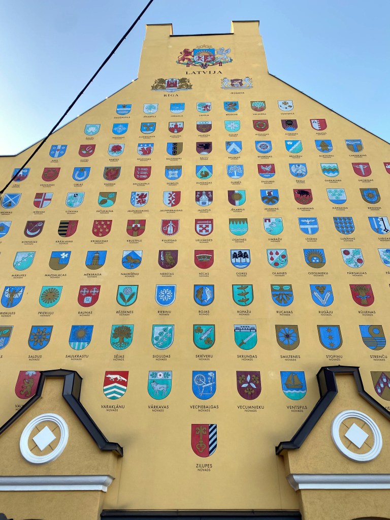
Next door lies Jacob’s Barracks, built in the 18th century to house the garrison, the structure continued to be used until 1997 by various militaries as the area’s geopolitics evolved over time. The length of the barracks are now home to bars and restaurants, but the end, with its depiction of the coats of arms of Latvian towns and municipalities, was the most intriguing to us.

Portions of the old city wall running along the barracks:

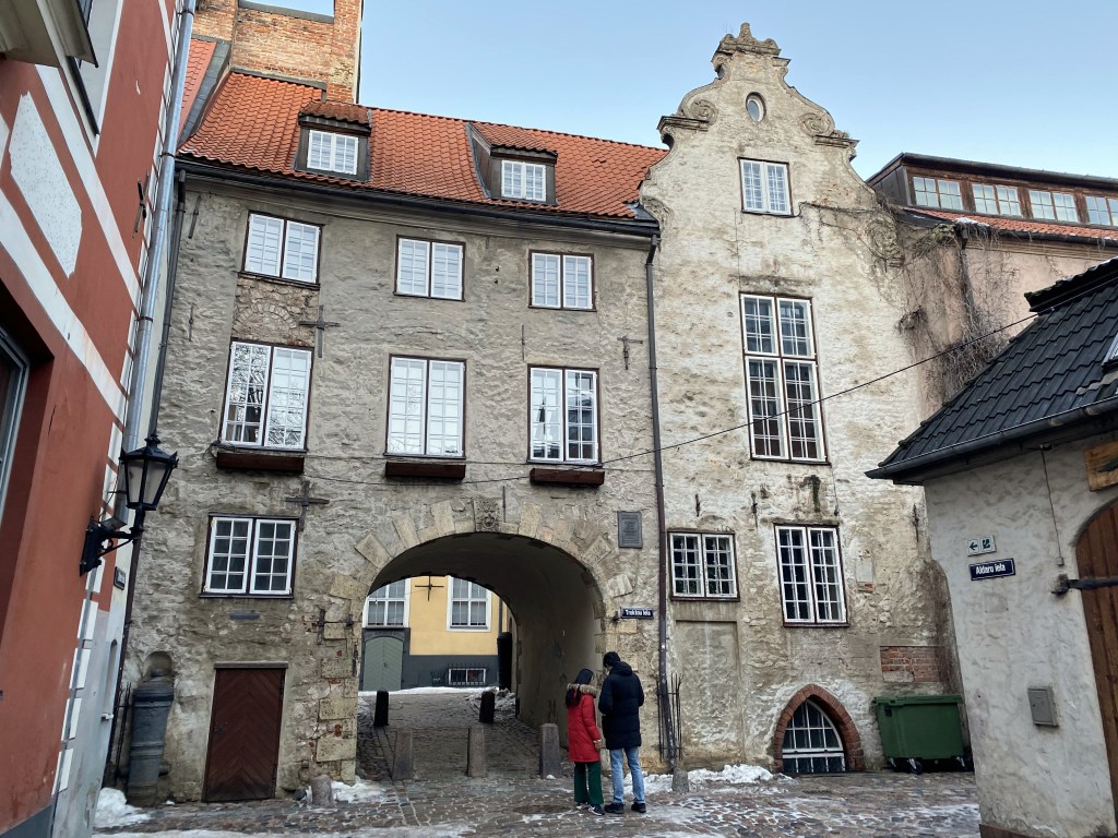
The Swedish Gate – the only portal in the medieval city walls to still exist. Beyond lies Trokšņu iela (Noisy Street) which ironically is one of the quietest and most charming street in Riga now. I’m sure we walked through here and down this apparently amazing street, but we have no visible evidence of this. ¯\_(ツ)_/¯

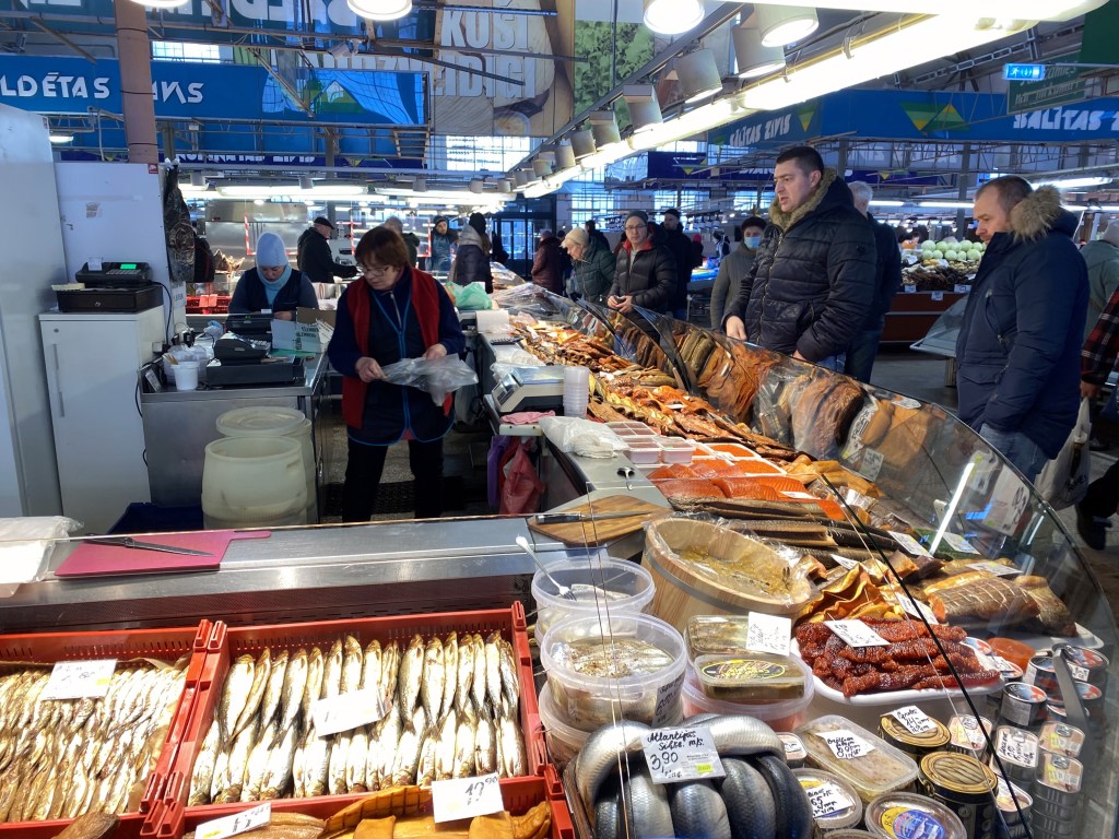
Instead, here’s some pics of Riga’s mammoth Central Market.

Absolutely any variety of food one could desire is available here.

The Riga Central Market (there’s a bird’s eye view later in the post) is composed of multiple, massive, hanger-like structures and is not only the largest shopping destinations in Latvia, but one of the largest markets in Europe.

The aforementioned bird’s eye view would come courtesy of St. Peter’s Church steeple.

Built in chunks over centuries, the first St. Peters was constructed as early as 1209; then a few decades later, in the middle of the 13th century; then the early 15th century; then at the end of the 17th century. Pretty plain brick church though, much like the Scandinavian Gothic brick churches encountered in Denmark.

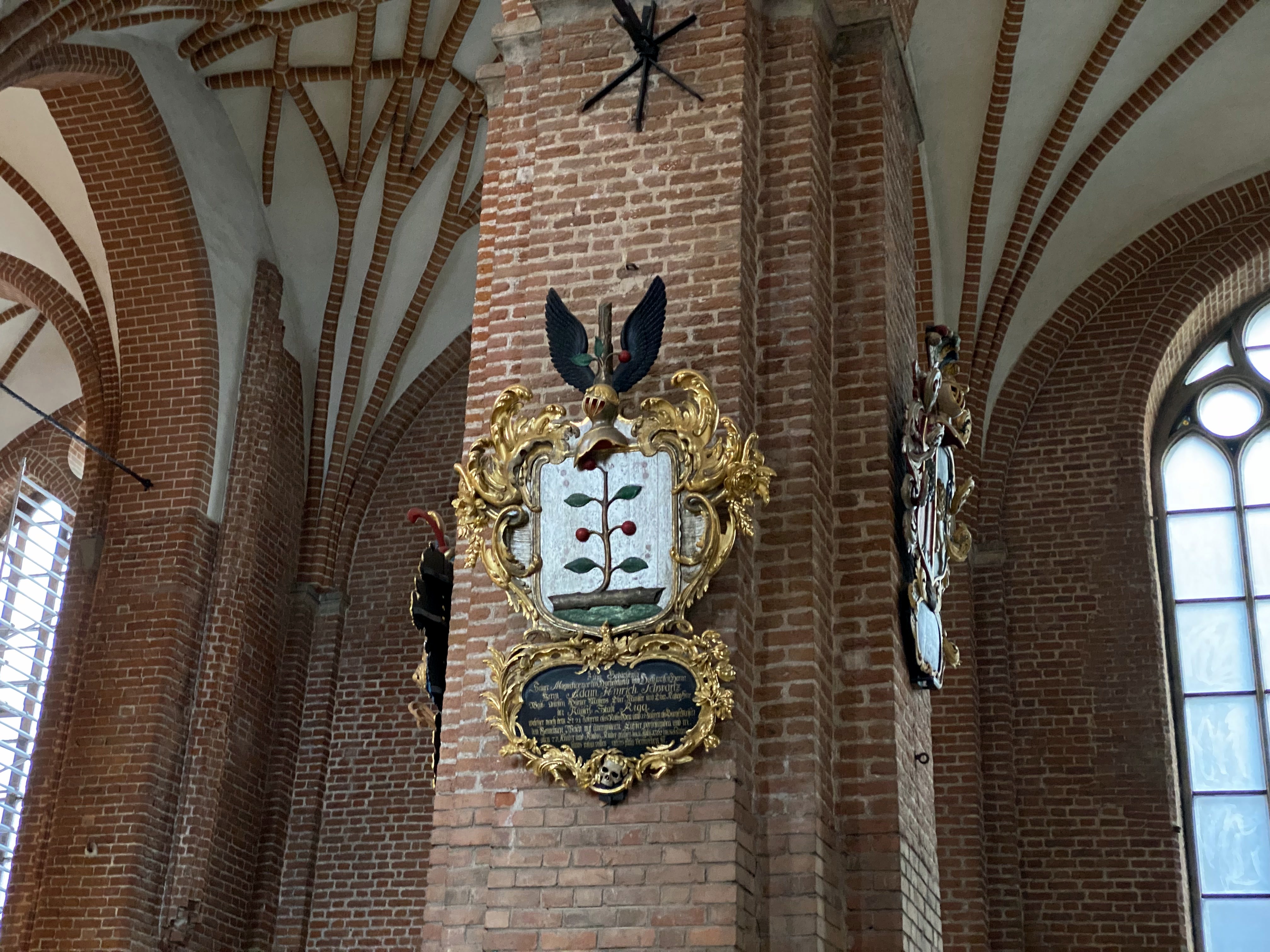
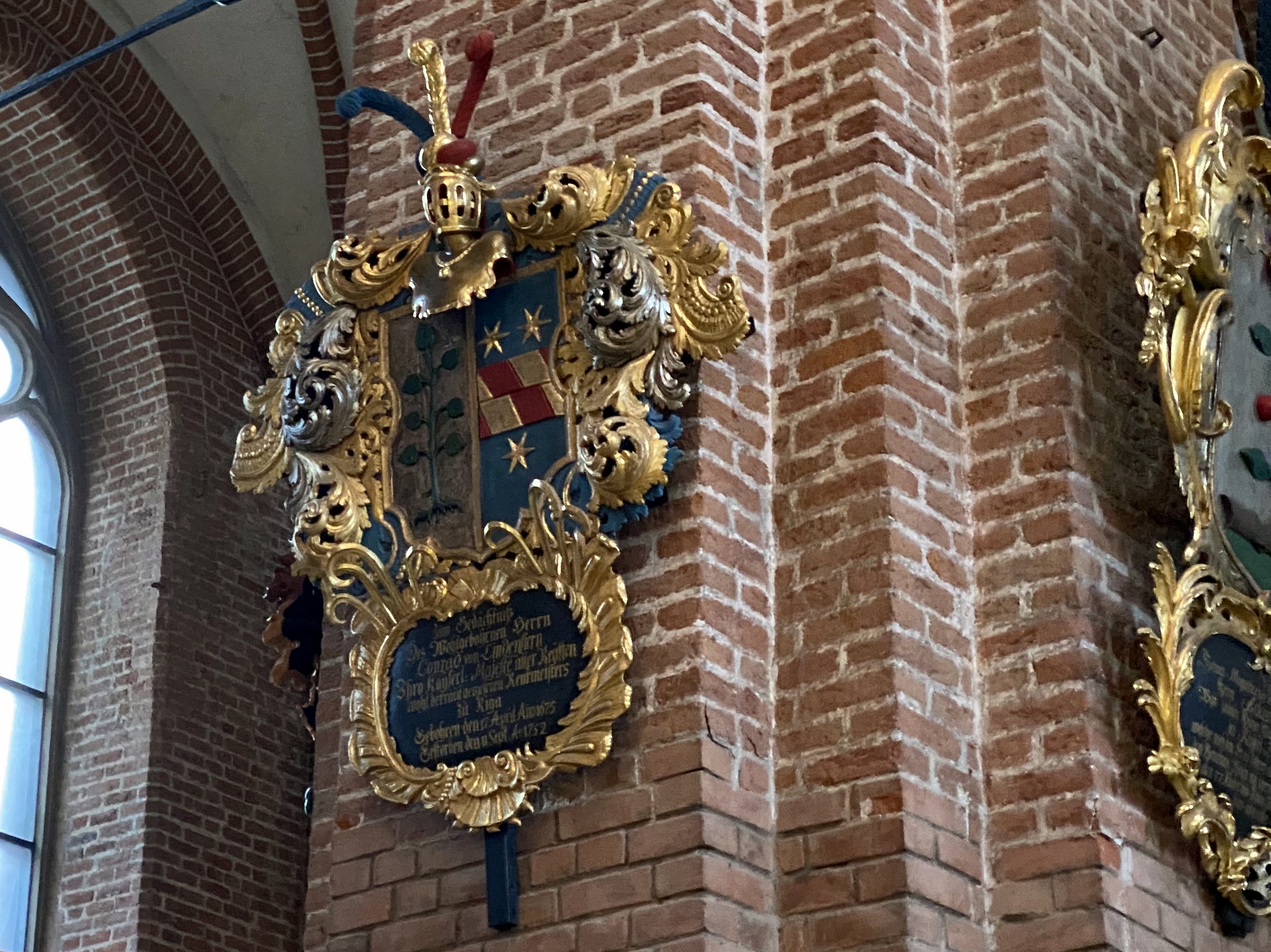
As with Tallinn’s cathedral, portions of the interior are adorned with local noble family coats of arms (one of which looks dangerously close to the esteemed crest of the Connells):

Something in the crypt we think? Dunno – pretty cool though.

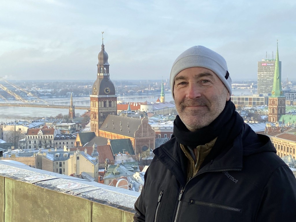
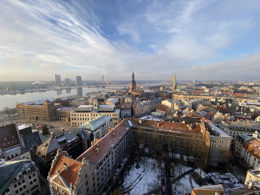
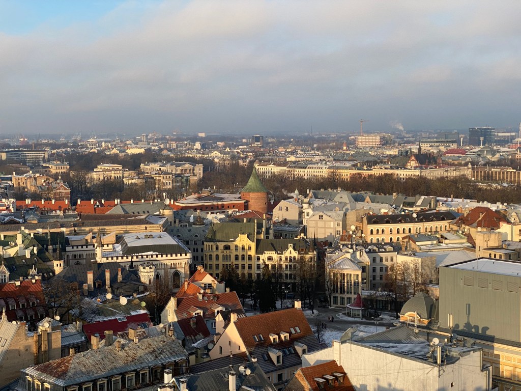
Views from St. Peter’s steeple observation deck – pretty awesome perspective on the town.

Renaissance facades in front of the Dome Cathedral:

Another, higher view of the Powder Tower:

Riga’s Central Market hangers:

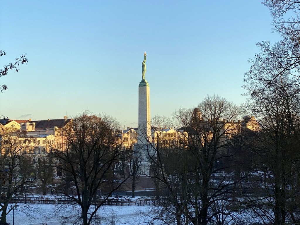
Down the street lies Riga’s Freedom Monument. A large statue of Peter the Great astride a horse once occupied this plaza, but it disappeared during WWI and the Latvians weren’t eager to replace it. Instead, the Freedom Monument was erected in its place in 1935.

Flowers are allegedly placed at the foot of the monument each day (we didn’t see any) as an act of defiance – such a gesture was punishable by deportation to Siberia during the Soviet era.

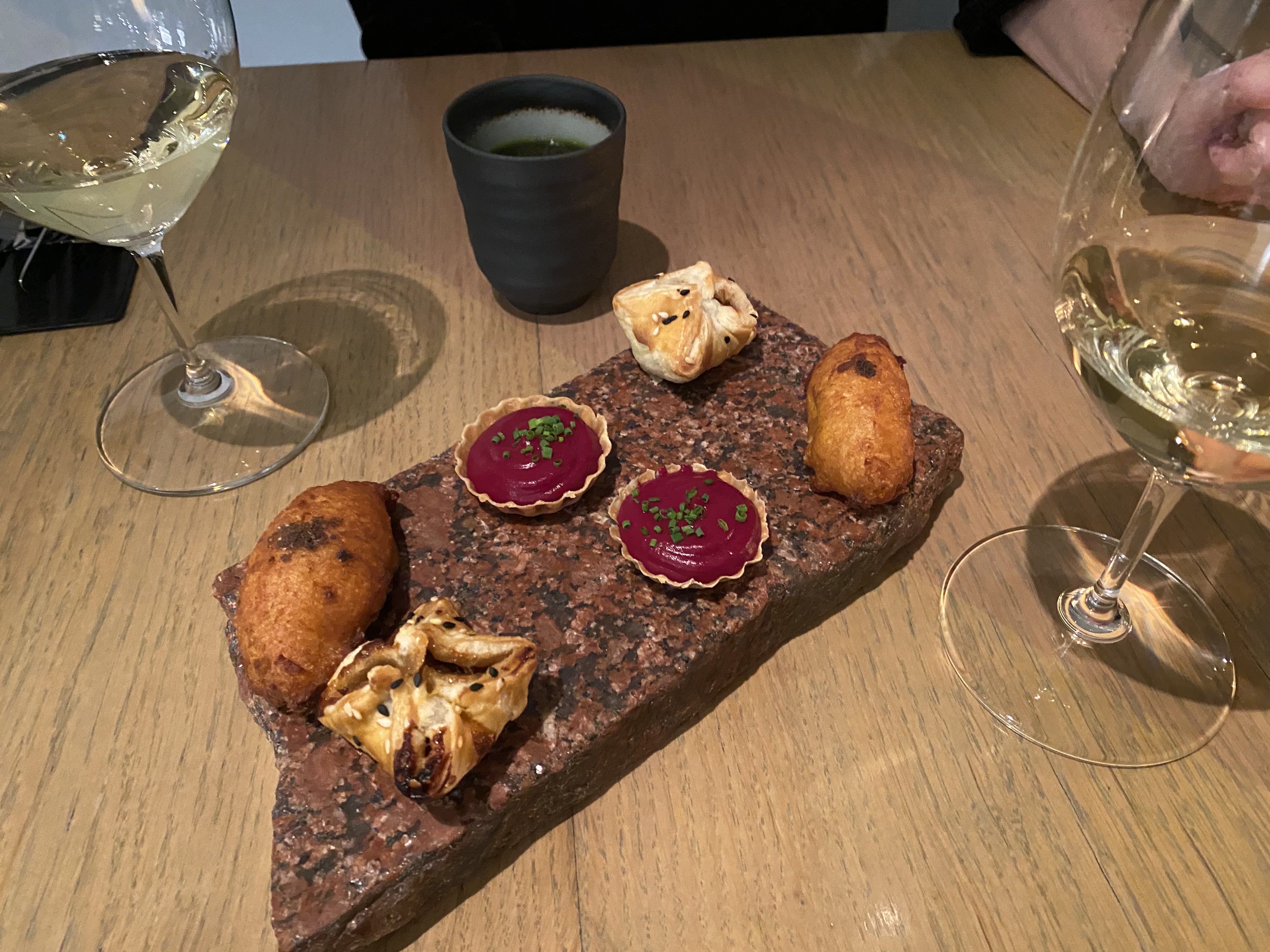
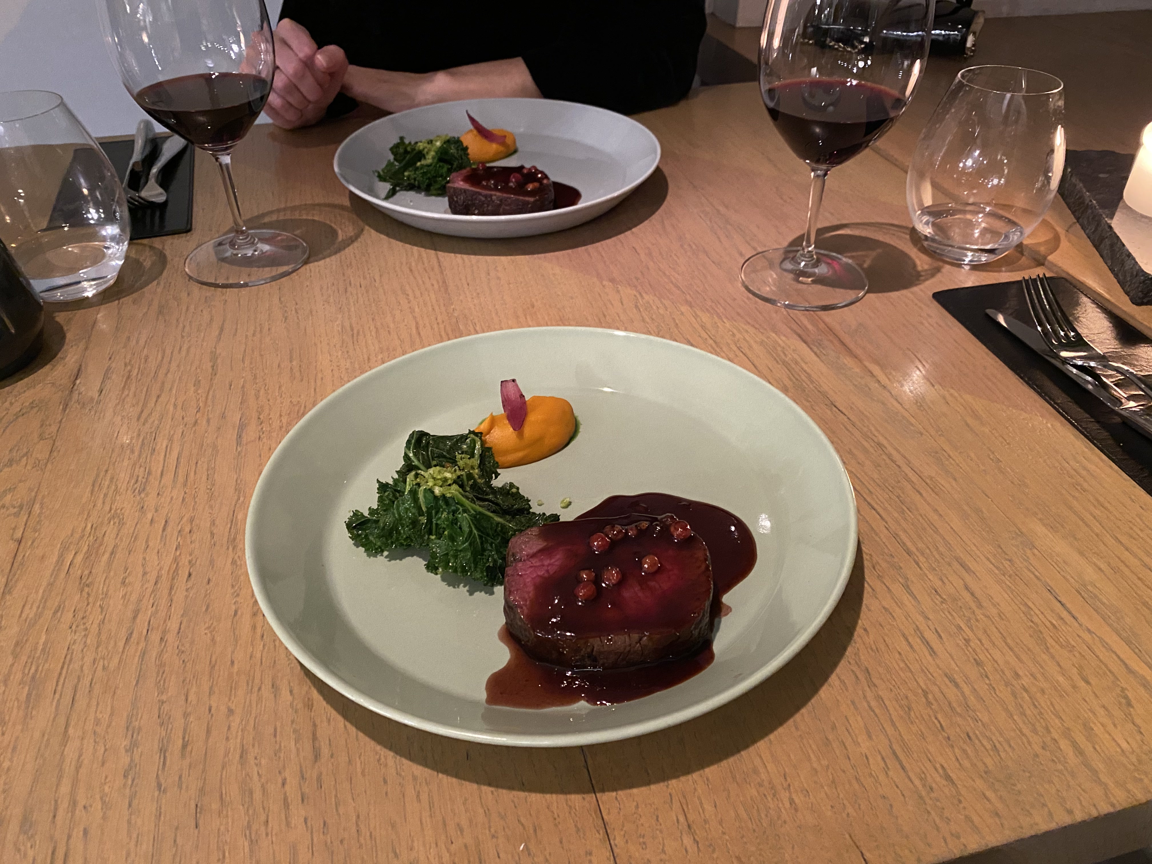
Dinner at 3 Pavāru Restorāns – definitely the dining highlight of our stay.

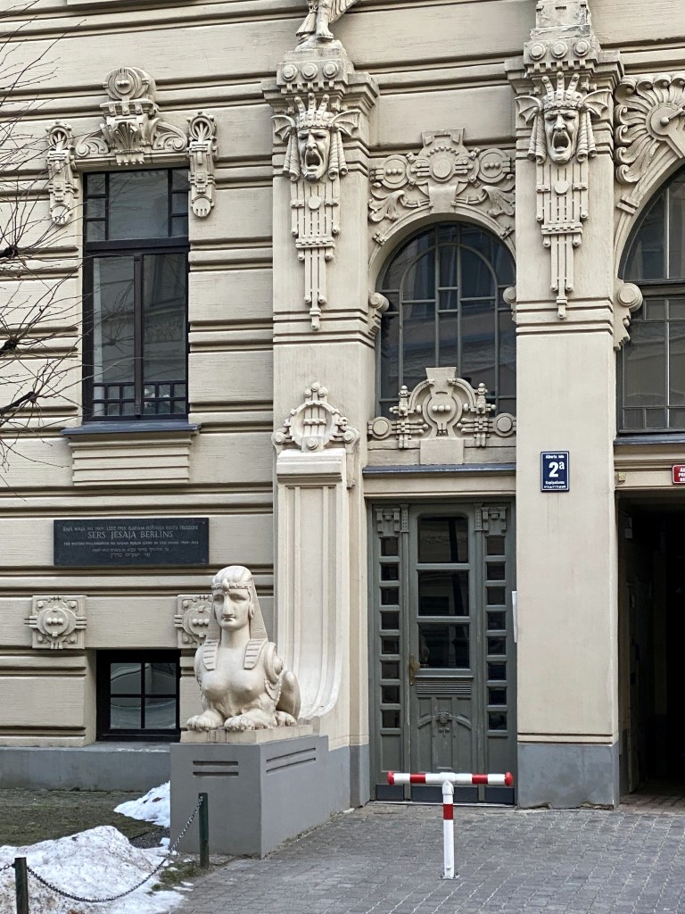
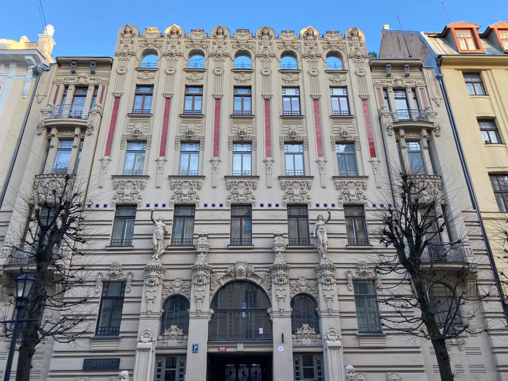
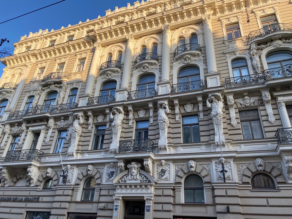
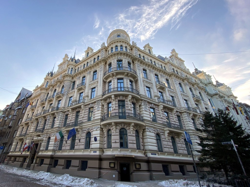
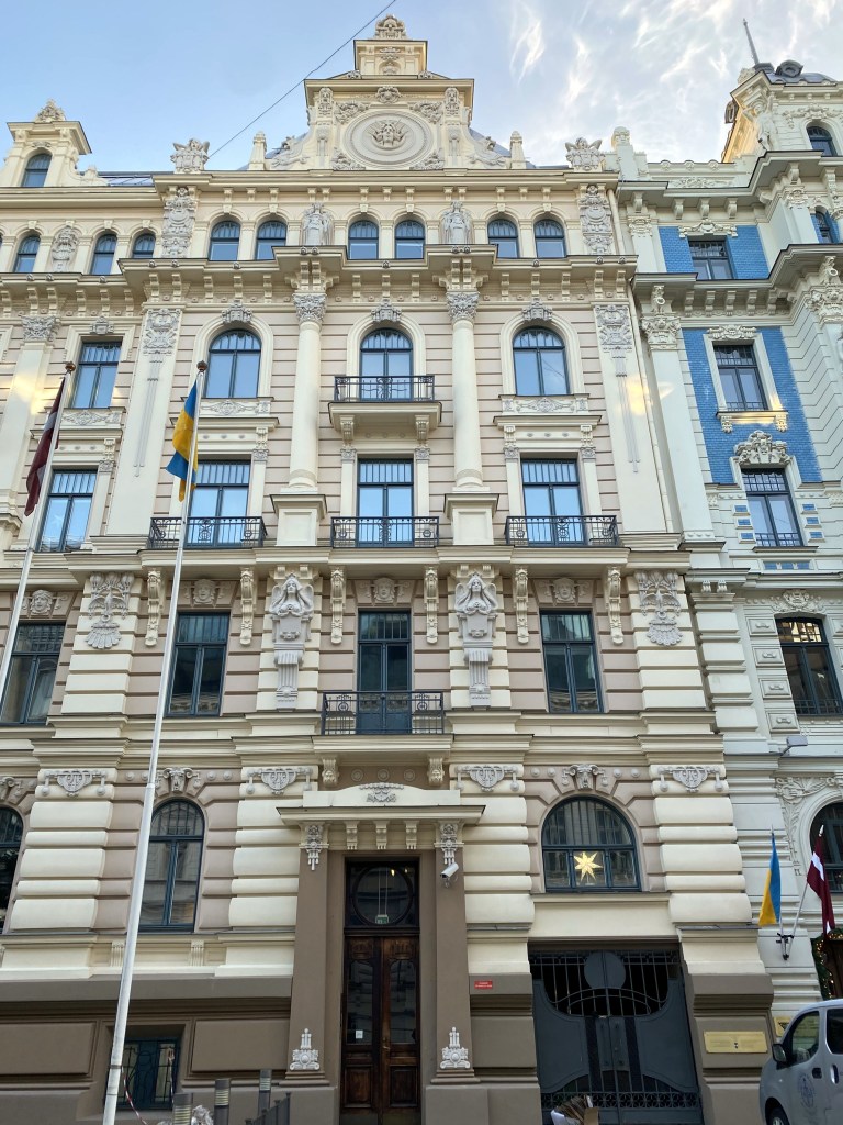
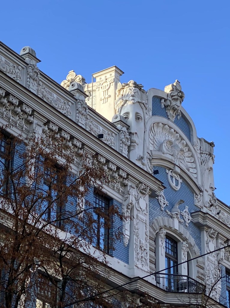
Riga’s Art Nouveau district on our Christmas Day walk. Riga’s period of peak prosperity happened to coincide with the Art Nouveau arts and architecture movement between 1890 and the outbreak of WWI. Although not at all unique to Riga, the town benefited from not being bombed into oblivion during WWII, resulting in a concentration of buildings in this style not seen anywhere else in Europe.

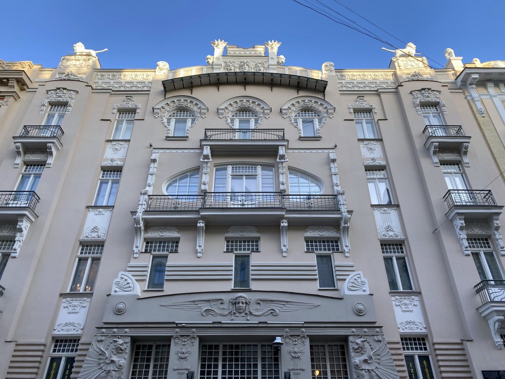
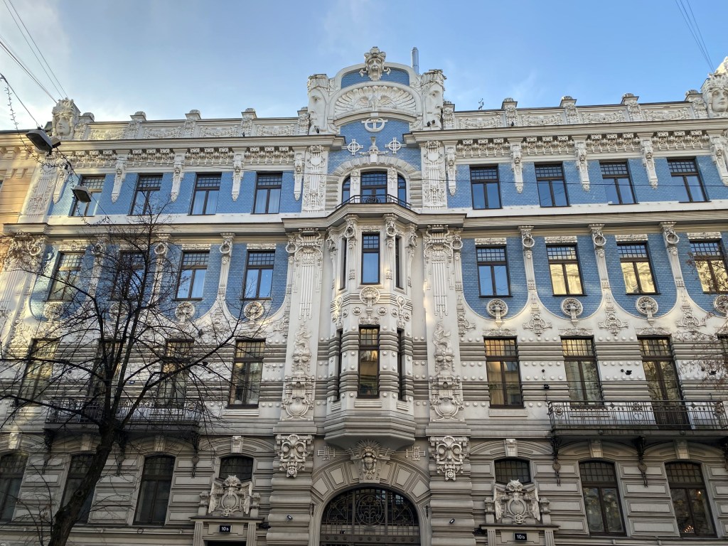
Perhaps the coolest: No. 10b, with a peacock (the symbol of art nouveau) flanked by big-ass faces.

Perfect winter weather in Riga for a Christmas visit.

On to our final stop of the trip: Amsterdam.

Categories: Europe, Latvia | Tags: , , , , , | Leave a comment

Turkey and Back to Greece: Istanbul Part 1 – Two Mosques and a Hippodrome

We’re finally getting around to posting pics from a trip in September 2022 to Turkey and back to Greece. We posted an overview of the trip shortly after our return, but never found time to post the details of each destination. The next series of posts will address this omission.

The trip, as originally planned, entailed the following itinerary:

  • 3 days in Istanbul, Turkey
  • 3 days in Cappadocia, Turkey
  • 1 night in Athens en route to Greece islands
  • 7 days on the Greek island of Paros
  • 4 days on the Greek island of Milos
  • 2 days on the Greek island of Folegandros
  • 7 days on the Greek island of Naxos

This plan assumed that the second WolfeStreetTraveler would be retiring in August 2022, and that this month-long trip would be our first extended foray abroad post retirement of both members of the consortium. This was not to be.

Work priorities related to supercomputing support to NOAA’s National Weather Service and some critical contract win priorites at EPA postponed the retirement plans for another 9 months. So, we lopped all the Greek islands other than Paros off the itinerary to reduce the travel time to just 2 weeks (during which work still needed to be addressed seven time zones away, which was typical of our travels), and cancelled our hotels, ferries, and AirB&Bs for the second half of the trip.

Despite the truncated itinerary, the trip was incredible, especially in Cappadocia and Paros (but for entirely different reasons).

But first, we hit Istanbul, the subject of They Might Be Giants’ most notable song.

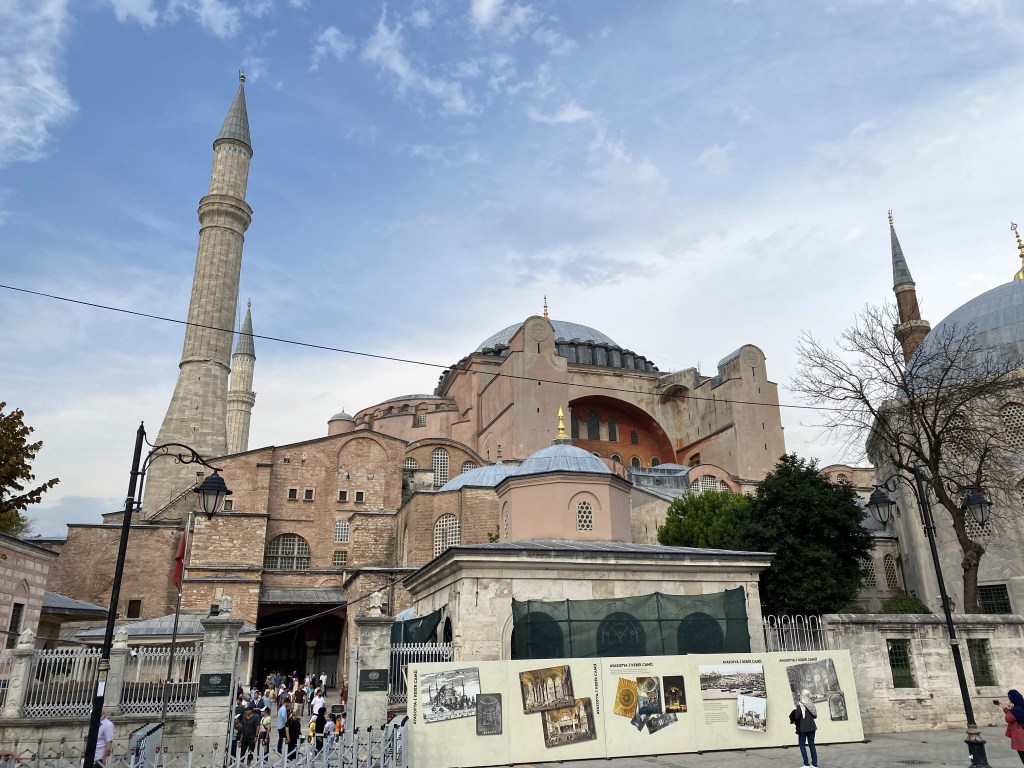
Upon our arrival in the Sultanahmet District of Istanbul, the historic core of the city, we made a beeline to Hagia Sophia, the city’s famous church-cum-mosque.

Constructed at the direction of Byzantine emperor Justinian in the first half of the 6th century, Hagia Sophia began as a grand church, replacing a previous model constructed in the 4th century. It was the largest Christian cathedral in the world for a thousand years (until construction of Seville’s cathedral), but not always as an Eastern Orthodox one. The western Christian crusaders converted Hagia Sophia to a Catholic cathedral in 1204 during the Fourth Crusade; the Byzantines converted it back to an Eastern Orthodox cathedral more than a half century later, in 1261.

However, the most significant change to Hagia Sophia role occurred in 1543, when the Ottomans finally overran Constantinople, which by that time was the last remaining (and heavily fortified) kernel of the once-vast Byzantine Empire.

As part of Atatürk’s secularization of the new Republic of Turkey, Hagia Sophia was converted to a museum in the 1930s. This became Turkey’s number one tourist destination all the way through 2019.

Then, in pandering to Turkey’s religious right Recep Tayyip Erdoğan turned Hagia Sophia BACK into a mosque in 2020. We could still visit it when in Istanbul, but would not have access to the entire structure like we would have just a few years before.

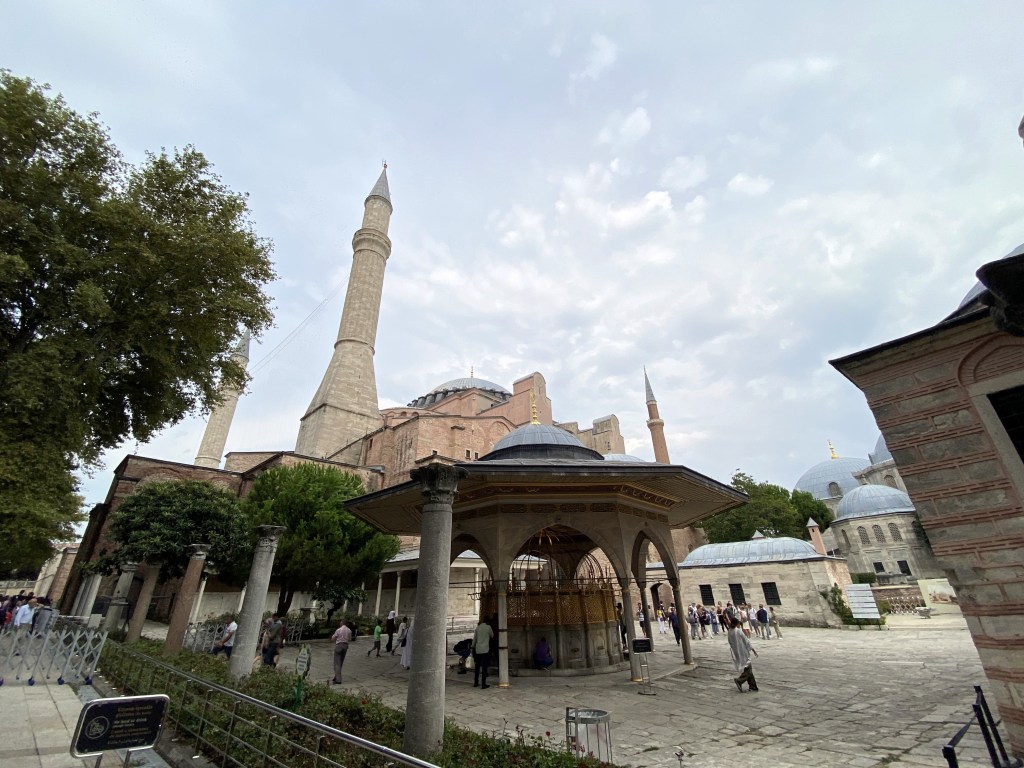
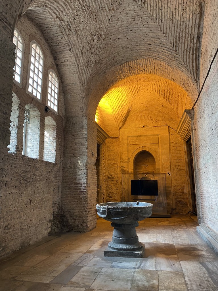
A fountain for ritual ablutions on the way to the entrance.

The place is freaking HUGE both inside and out, and the bolt-ons by different sultans over the centuries,

including massive buttresses to prevent a repeat of collapses during earthquakes.

We were able to go inside,

but, since it was now a mosque, we weren’t able to go to the second level to see the Viking runes graffiti left by members of the Varangian Guard sometime between the 10th and 11th centuries. Serious bummer, man.

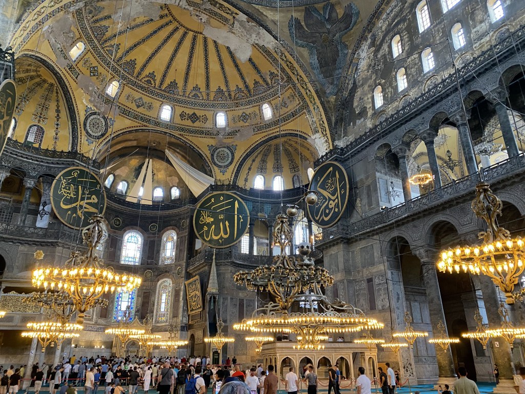
One of the changes made to the Christian cathedral during its conversion to a mosque in the 16th century was the removal or whitewashing of Christian biblical mosaics on the walls. Another, much later change, was the installation of eight huge medallions between 1847 and 1849 under Sultan Abdülmecid I and display the names of Allah and Muhammad, the first four caliphs Abu Bakr, Umar, Uthman and Ali, and Muhammad’s grandchildren Hassan and Hussein.

A few pre-mosque mosaics were unintentionally preserved by the whitewashing, which was then removed centuries later. One of these was “Emperor Leo VI Paying Homage to Christ as Pantocrator” over the entrance door.

Just some alcove off to the side – cool vaulting though.

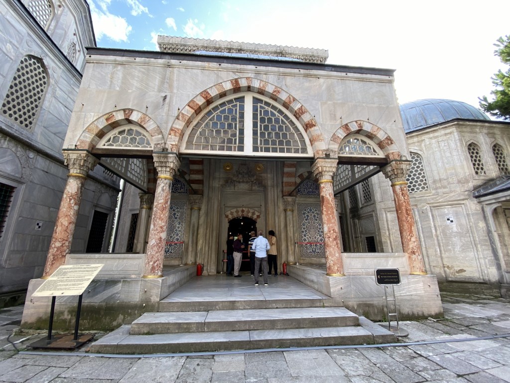
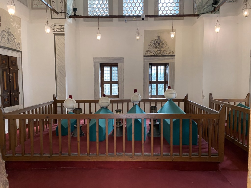
The grounds of Hagia Sophia play host to tombs of five Ottoman sultans and their families. Each looks pretty modest from the outside.

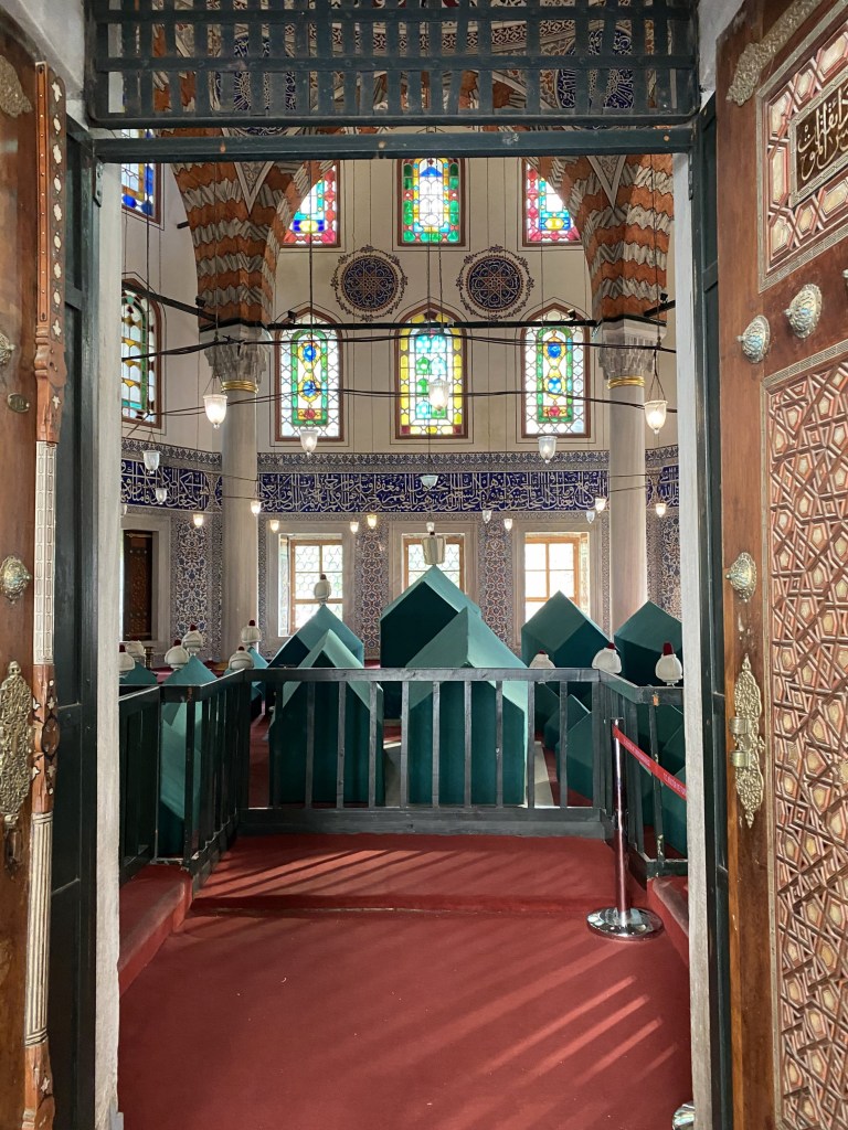
But some – this is the tomb of Sultan Murat III built in 1595 – are pretty grand inside. And hold lots of sarcophagi – 54 in this one.

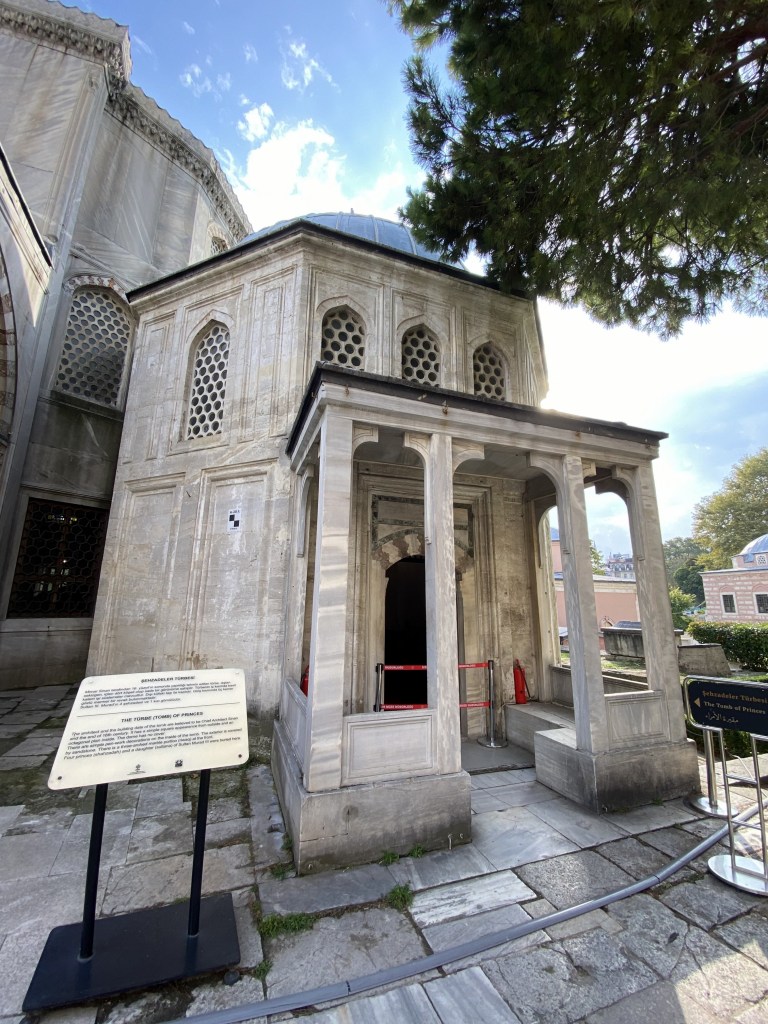
There’s also the tomb of Princes – four princes and the daughter of Sultan Murat III.

This one was much more low key inside.

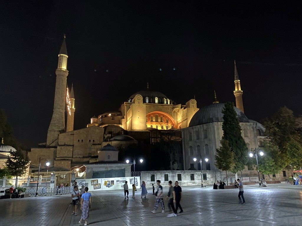
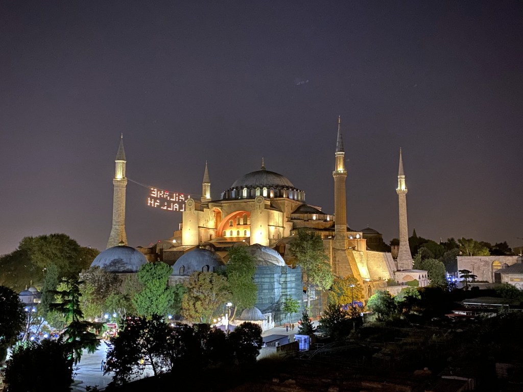
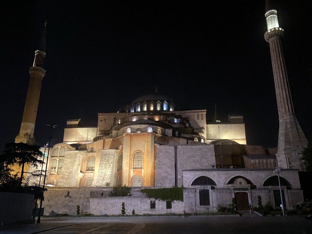
Hagia Sophia lit up at night:

Particularly good view from a rooftop bar we patronized:

Also at night – the vendors come out!

Hagia Sophia lies at one end of Byzantium’s / Contantinople’s / Istanbul’s famed hippodrome. We were very familiar with the hippodrome and the role it played during the Byzantine empire due to the History of Byzantium podcast. So, our expectations for seeing the actual, ancient racetrack and stadium were high.

These expectations were not met.

The hippodrome no longer exists. The structure already had fallen into ruin by the Fourth Crusade in the early 13th century, and the Venetians finished the job by looting most of the remaining decorative elements. Then, after the Ottomans conquered the city in 1453, the remaining structure became a convenient pre-cut stone quarry for the sultan.

Luckily, though, the footprint of the hippodrome was never built over, so you can at least appreciate the size of the race track when visiting Istanbul. Plus, there are a few ancient – and one modern – monuments.

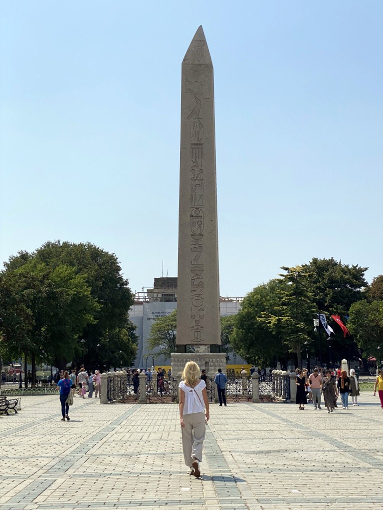
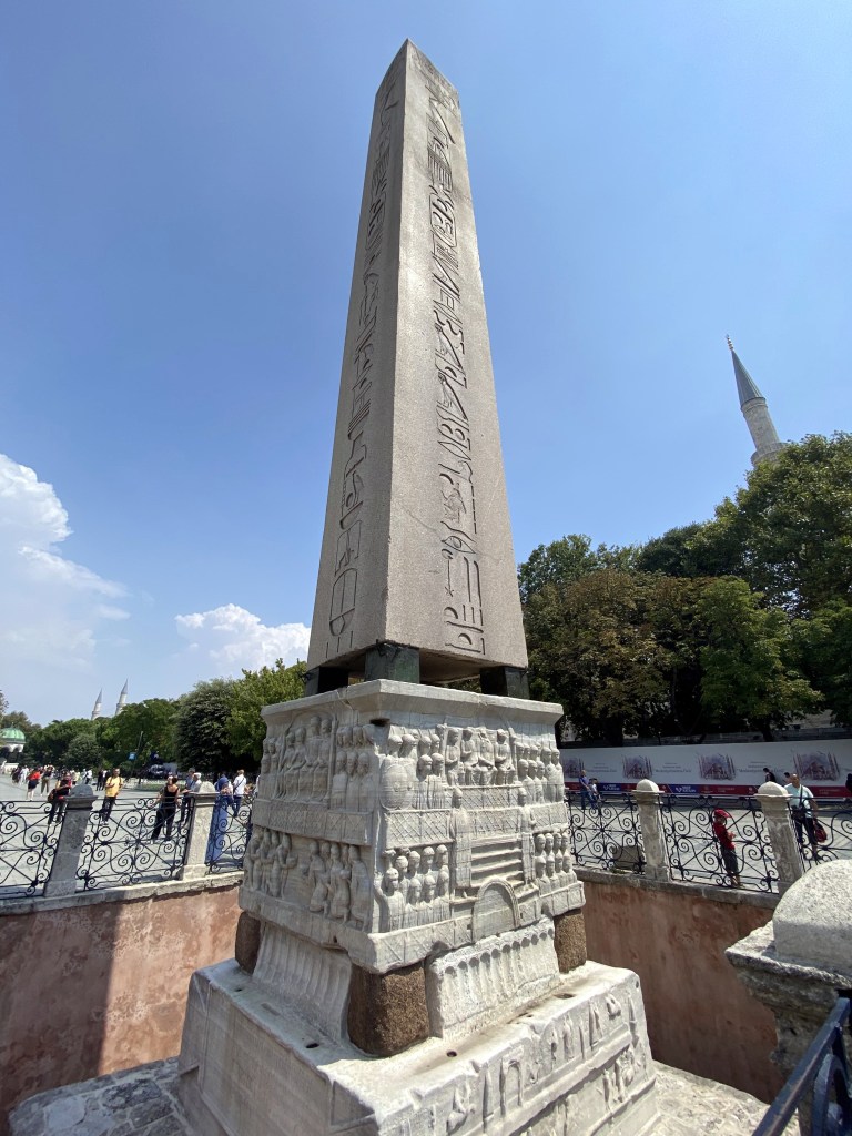
The first is the Obelisk of Thutmose III.

Roman / Byzantine (it’s kind of a transition time period) Emperor Theodosius the Great brought the obelisk from Egypt – where it had been part of the Temple of Karnak in Luxor – to Constantinople in 390. The original obelisk was considerably taller, inasmuch as what’s left is just the top third.

But what’s left is pretty cool. The monument was created in 1490 BC, so the granite obelisk is 3500 years old. The marble pedestal is a different story.

The bas-reliefs only date to the monument’s re-erection in Constantinople’s hippodrome by Theodosius, and show the emperor in various scenes, including the emperor and his court, here on the north face. Below is a relief showing the transport of the obelisk.

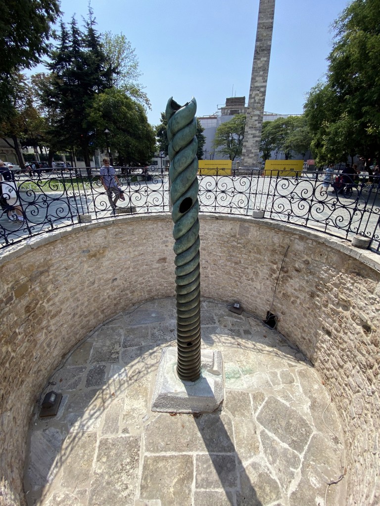
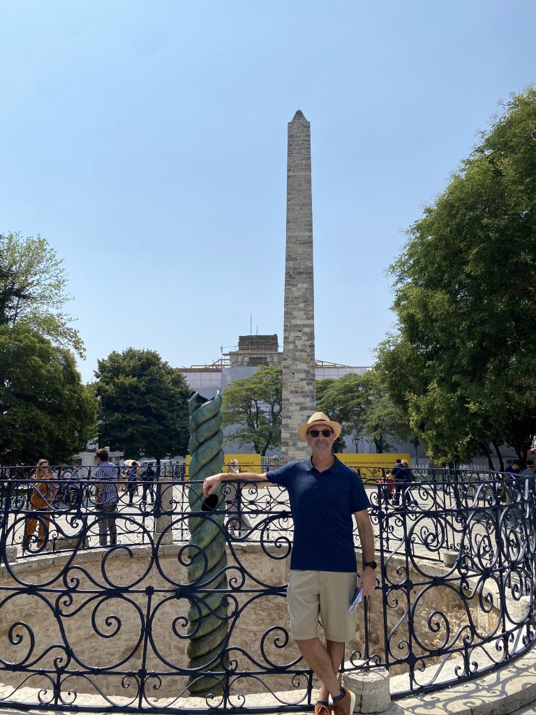
The bronze Serpent Column is next as we stroll the length of the hippodrome footprint, from one massive mosque to the next. The column is actually the base of a trio of snakes that formed a tripod on top to hold a golden bowl. Like the Obelisk of Theodosius, this was another goody from afar dragged to Constantinople – it originally was cast by Greeks to celebrate their victory over the Persians during the Persian Wars of the 5th century BC.

Beyond the Serpent Column, at the opposite end of the hippodrome from Obelisk of Thutmose III lies another obelisk, this one more modern (kind of). Erected in the 10th century by (now thoroughly) Byzantine Emperor Constantine Porphyrogenitus, the obelisk originally was clad in gilded bronze, but the freaking Venetians stole all of that, too, when they looted Constantinople during the Fourth Crusade. Now, only the stone core remains.

The most modern monument serves as our last encounter on the hippodrome before hitting the other mosque: The German Fountain.

The German government constructed the fountain in 1900 in neo Byzantine style to celebrate Kaiser Wilhelm II’s visit to Istanbul in 1898.

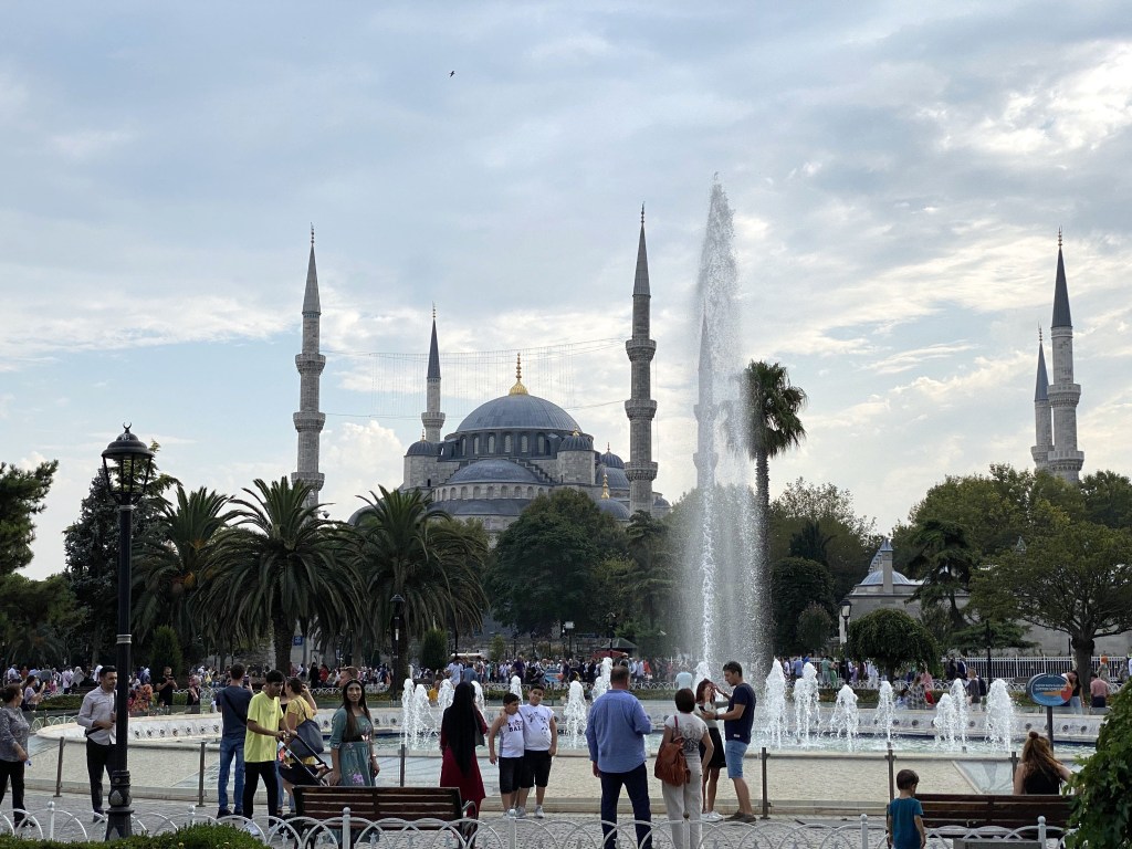
And now, the Blue Mosque.

Situated at the opposite end of the hippodrome from Hagia Sophia, the Blue Mosque was constructed during the first half of the 17th century.

It’s official name is the Sultan Ahmed Mosque. The blue moniker comes from the Iznik tiles lining the inside that allegedly are predominantly blue.

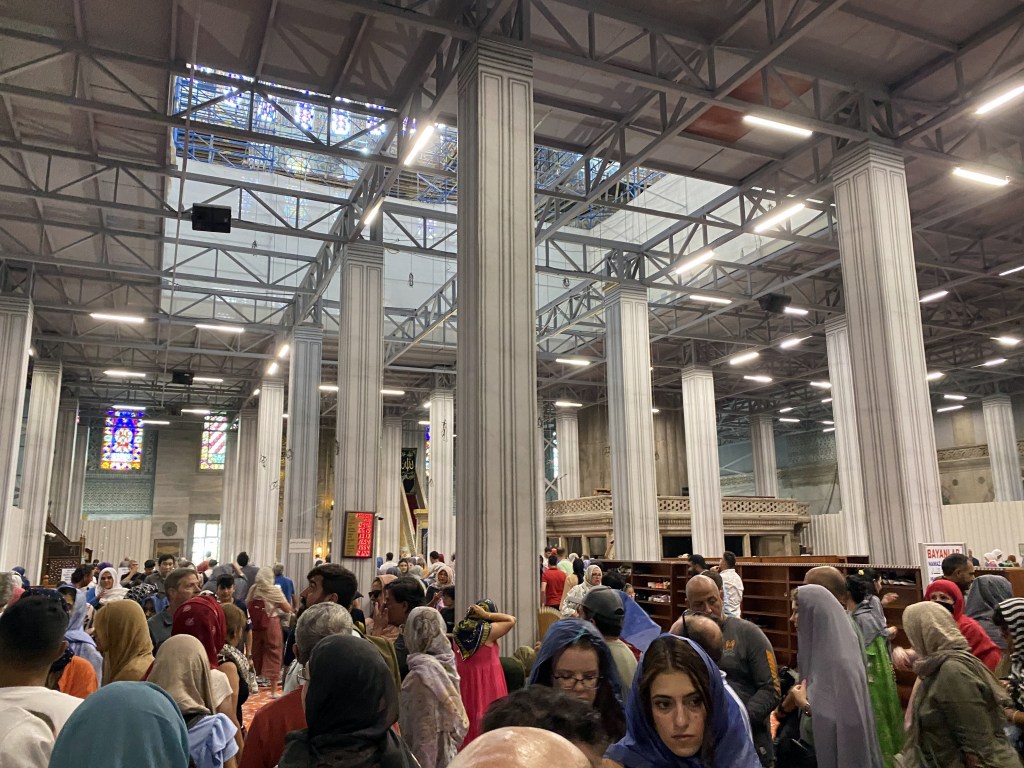
We say allegedly, because this was the interior during our visit – another major sight on our travels frustratingly clad in scaffolding.

You could peer through the renovation obstructions to view some of the interior, but not much.

Maybe these are the blue tiles? Who knows?

Pretty cool lit up at night, though.

Another rooftop bar – this time for lunch – and another good view of a giant mosque.

Next up: water storage?

Categories: Istanbul, Cappadocia, and Paros, Turkey | Tags: , , , , , , | Leave a comment

Turkey and Back to Greece: Istanbul Part 2 – Cisterns and Stuff

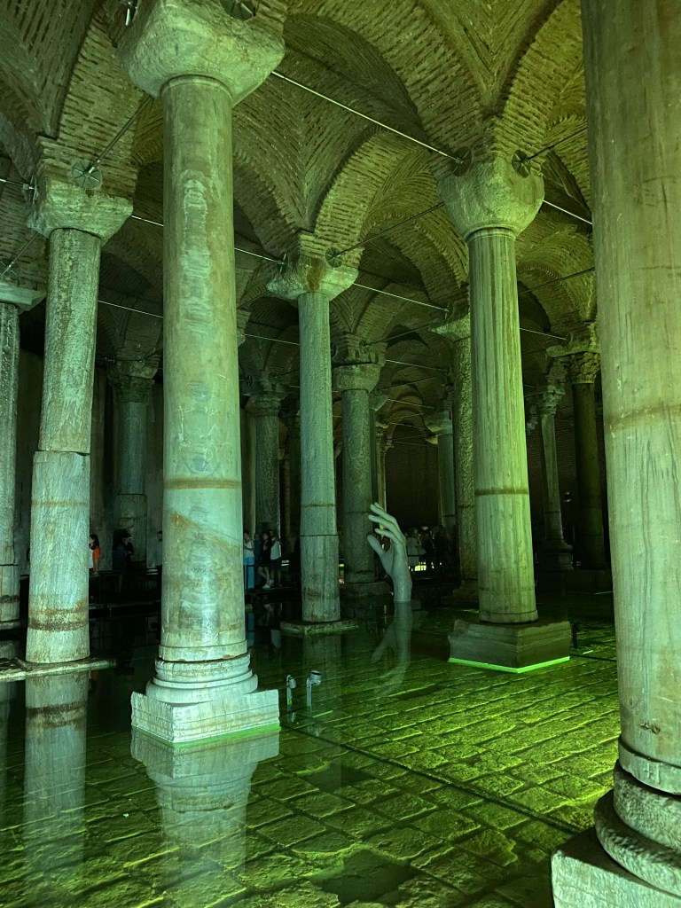
By far, the absolute coolest component of our time in Istanbul was our visit to the Basilica Cistern beneath the city.

The moniker comes from its location beneath a Roman-era basilica constructed in the 4th century but that no longer exists. (It’s also known by its Turkish name Yerebatan Sarayı (“Sunken Palace”), which is way more descriptive and evocative.)

An hour-or-so-long line snaked around the corner from the entrance to the cistern when we wandered by, so we hired a guide on the spot – not for his guidance, per se (we had plenty of written guidance with us, and typically prefer this approach) – but because we could skip the entire line if we hired a guide. Done and done.

One of hundreds of ancient cisterns build beneath Constantinople, but by far the largest, the great water storage cavern originally was built by Emperor Constantine in the 4th century.

But the colonnaded space we got to experience resulted from an Emperor Justinian infrastructure improvement project after the Nika riots devastated the city in the 6th century. (The no-longer-in-existence hippodrome played a major role in this conflict, which destroyed half the city.)

The great cistern supplied water to major buildings of the city, including the palace, but was forgotten by city administrators after the Ottoman conquest and was lost to memory to all but some locals living above it.

The cistern was rediscovered in 1565 when a Dutch traveler who was researching Byzantium ruins in Istanbul observed locals in the area fetching water by lowering buckets into a dark space below their basement floors.

More recently, James Bond navigated the cistern in From Russia with Love (although the MI6 Istanbul Station Chief mis-attributes its creation to Constantine, rather than Justinian):

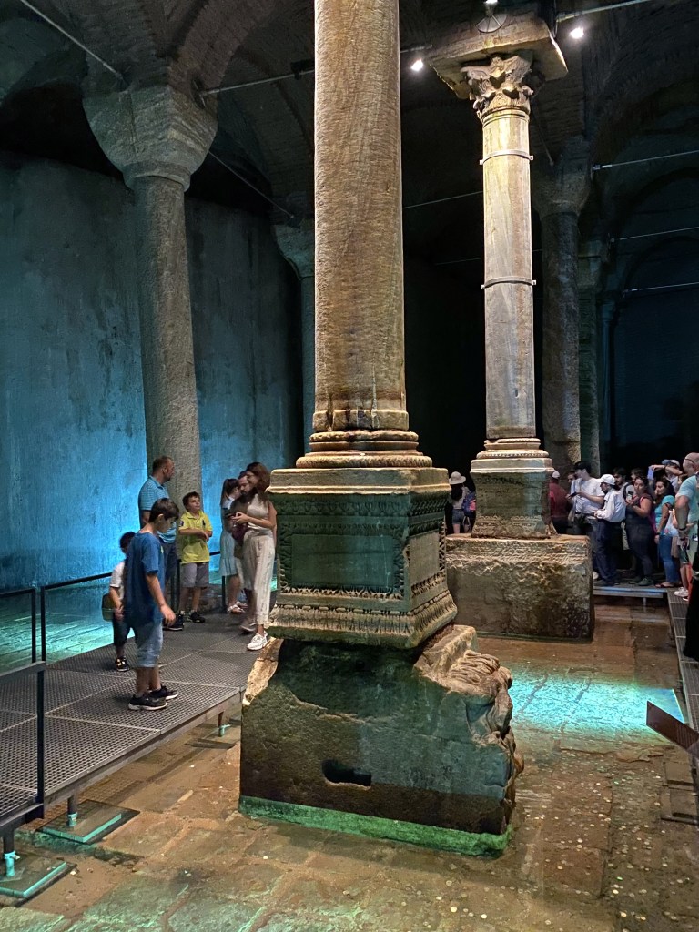
Although most of the 336 marble columns are pretty standard supports with Ionic and Corinthian (and a few Doric) capitals – cannibalized from Roman temples across the empire for use here, the bases of two columns are quite strikingly different.

They’re heads of a Gorgon – more specifically, Medusa. The origins are unknown, but the thinking is that they were repurposed from a late Roman temple that was regarded as pagan and simply used as a quarry, and the heads were used along with the columns.

Pagan or not, the Orthodox Christians still took the risk of the Gorgon’s gaze seriously and installed one on its side and the other upside down to neutralize their power. “A similar Gorgon head, now at the Istanbul Archaeological Museums, was found at the Forum of Constantine, which suggests the two Gorgon heads of the Basilica Cistern might also originally decorated the Forum of Constantine.” (From here.)

And one column is carved with raised pictures of a Hen’s Eyes, or Peacock Eyes, tear drops, which apparently was a style similar to the columns on a 4th-century Triumphal Arch of Theodosius (one of the Byzantine emperors referenced with the hippodrome).

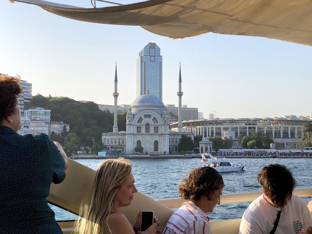
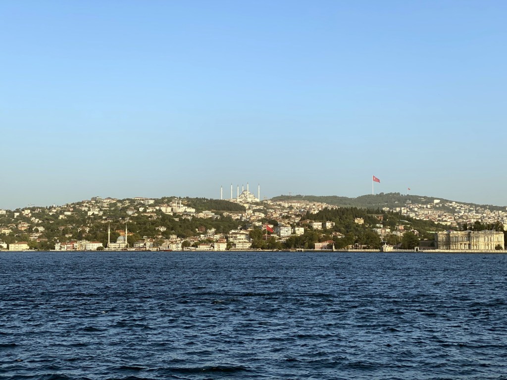
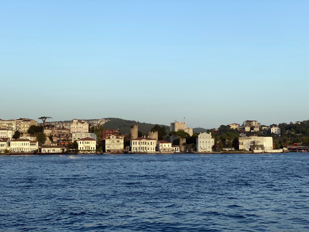
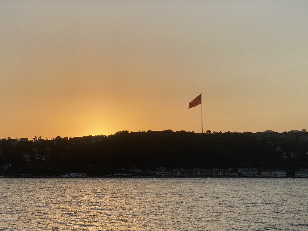
Evening boat ride up (down?) the Bosporus:

Categories: Istanbul, Cappadocia, and Paros, Turkey | Tags: , , , , , , , , , | Leave a comment

Turkey and Back to Greece: Istanbul Part 3 – Topkapi Palace and Surrounds

Our final morning, we made a beeline to Topkapi Palace, hidden first behind an impressive set of exterior walls, through which one passes through the Imperial Gate:

And then another set of more modest interior ones, entered through the Gate of Salutation:

The grounds offered a cool oasis to the stone-clad urban environment outside the walls.

The Library of Sultan Ahmmed III, a prime example of 18th-century Ottoman architecture.

The 15th-century Audience Hall

A fragment of Piri Reis’ intriguing and controversial 1513 map, which includes remarkably accurate depictions of the Caribbean and South American coast, despite the map’s creation just 3 decades after Columbus discovered America.

A view of the Golden Horn from the Iftar Pavilion:

The Yerevan Kiosk – a pavilion fronted by a fountain meant for religious retreat.

The Baghdad Kiosk built circa 1638 to commemorate the Baghdad Campaign of Murad IV.

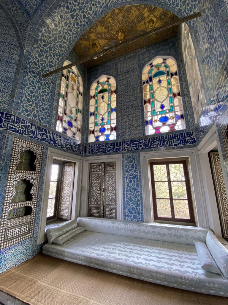
Its interior is meant to depict an ideal Ottoman room.

Which apparently required a huge couch.

And some attendance, natch.

The palace’s Imperial Council Hall, with the Tower of Justice atop. Originally built in the late 15th century and restored in the 17th after a harem fire, the Imperial Council, led by the Grand Vizier, met here.

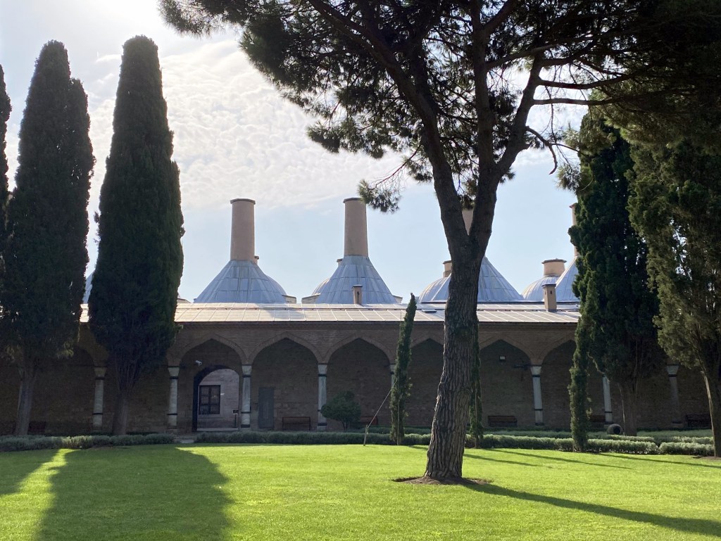
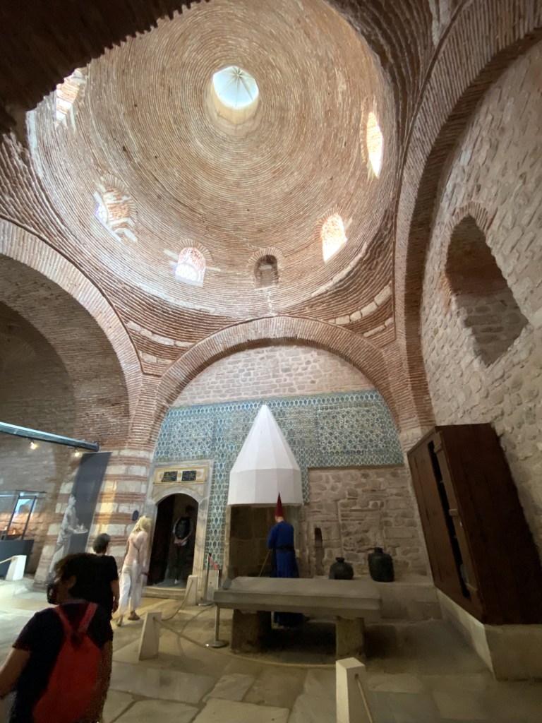
The palace kitchens – the largest in the Ottoman Empire, with a capability to feed 4000 people.

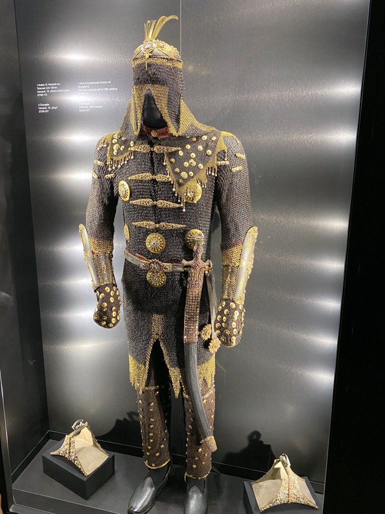
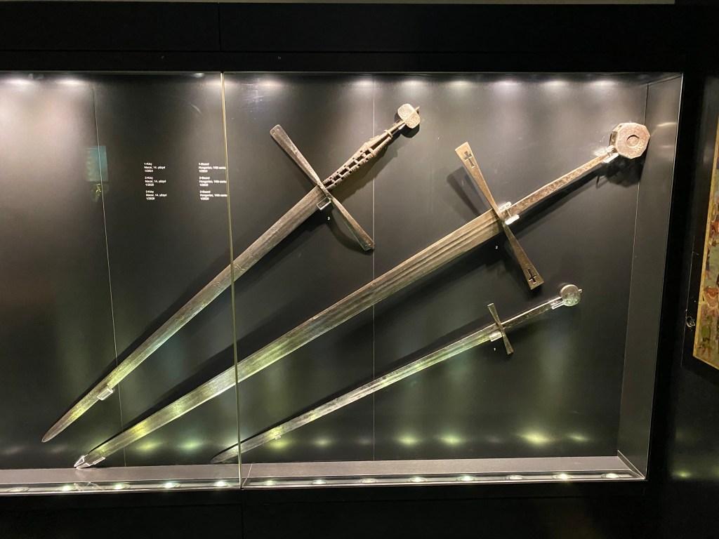
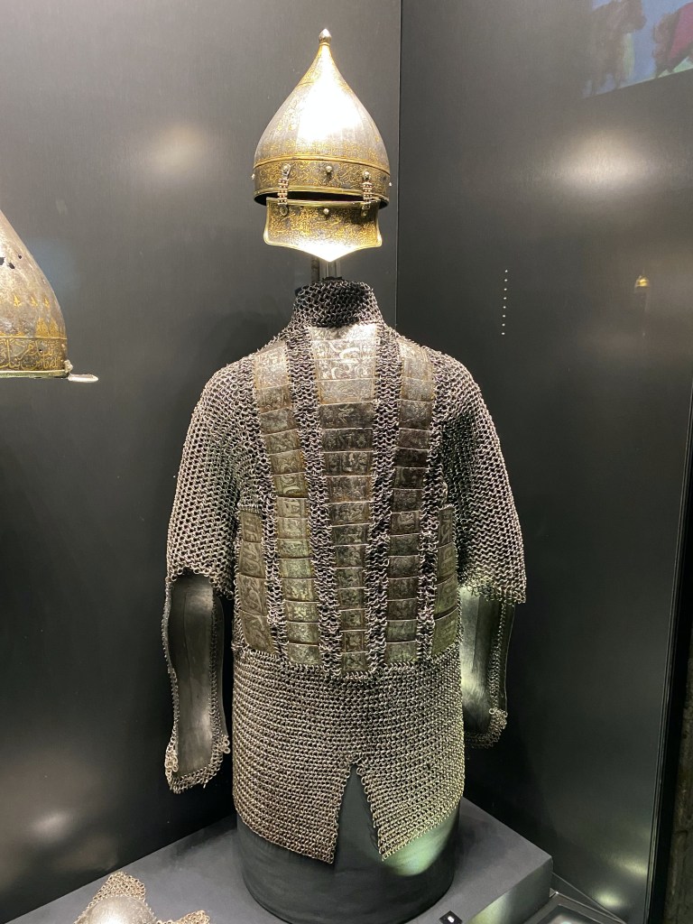
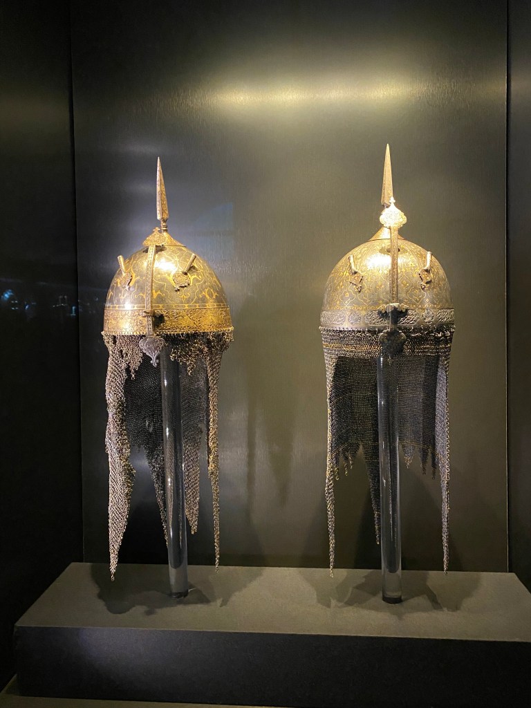
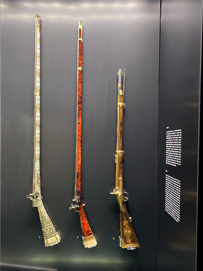
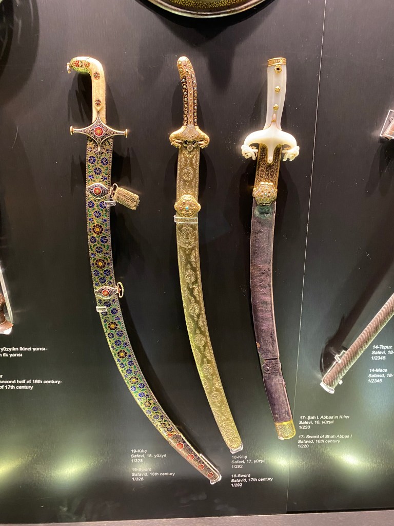
The palace museum, home to some pretty cool examples of Islamic arms and armor from the Ottoman period.

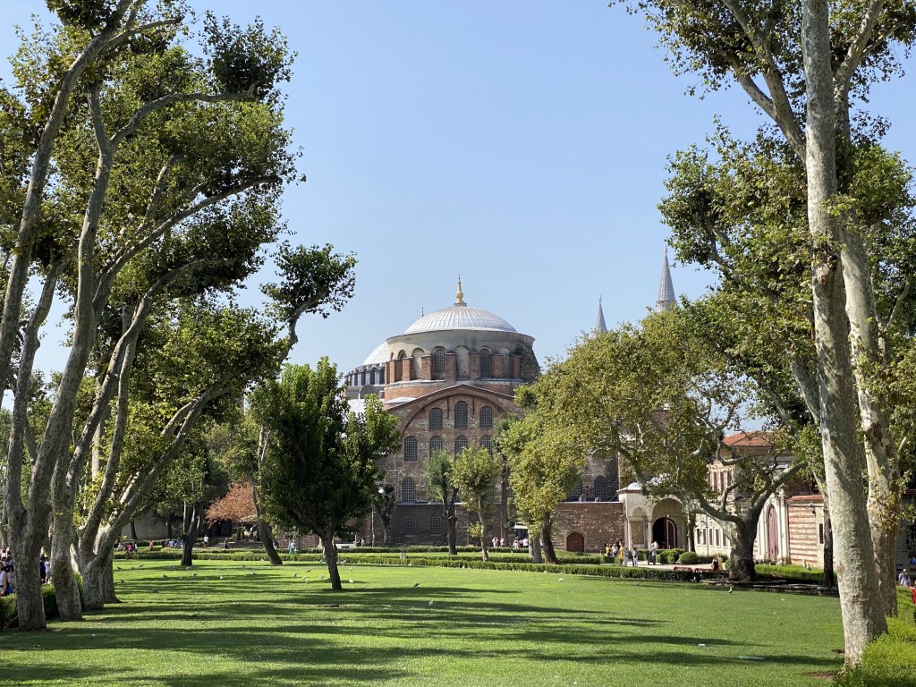
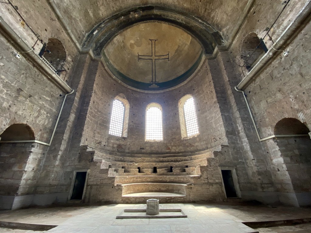
And, on the way out, but still on the grounds, the forlorn husk of Hagia Irene, Istanbul’s second largest church after Hagia Sophia. The Romans constructed a temple on this spot in the 4th century, but this wooden structure was superseded by a stone structure before this, too, was replaced by a much larger Byzantine basilica in the mid 500s after its predecessor was destroyed during the Nika riots of Justianian’s reign. (Hagia Sophia suffered a similar fate and Justinian had this rebuilt in grander fashion at the same time.)

Unlike the typical Ottoman habit of turning churches into mosques, Hagia Irene was converted to a gun depot.

The cross mosaic in what may be an apse(?) – It was really hard to tell, and Byzantine churches had different layouts than Latin Christian churches, with their nave, transept, apse structure that wasn’t apparent here – was created during the reign of Leo III the Isaurian in the first half of the 8th century (we add this detail only so was can say “Leo the Isaurian” which has a vaguely Ghostbusters’ Gozer the Gozerian vibe to it).

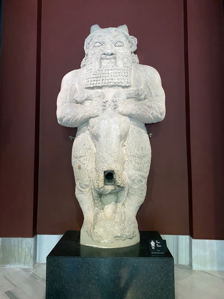
At the Istanbul Archeological Museum just a hundred yards downhill from Topkapi Palace an impressive (like 12 feet?) statue of the Egyptian god Bes, found on Cyprus where he was popular with the Phoenician colonizers.

Statue of Emperor Hadrian found on Crete, and shown squishing his conquered foe.

Reconstruction of the stratified layers of sequential building and destruction of Troy, located elsewhere in Turkey, but highlighted through a pretty impressive wing in the museum.

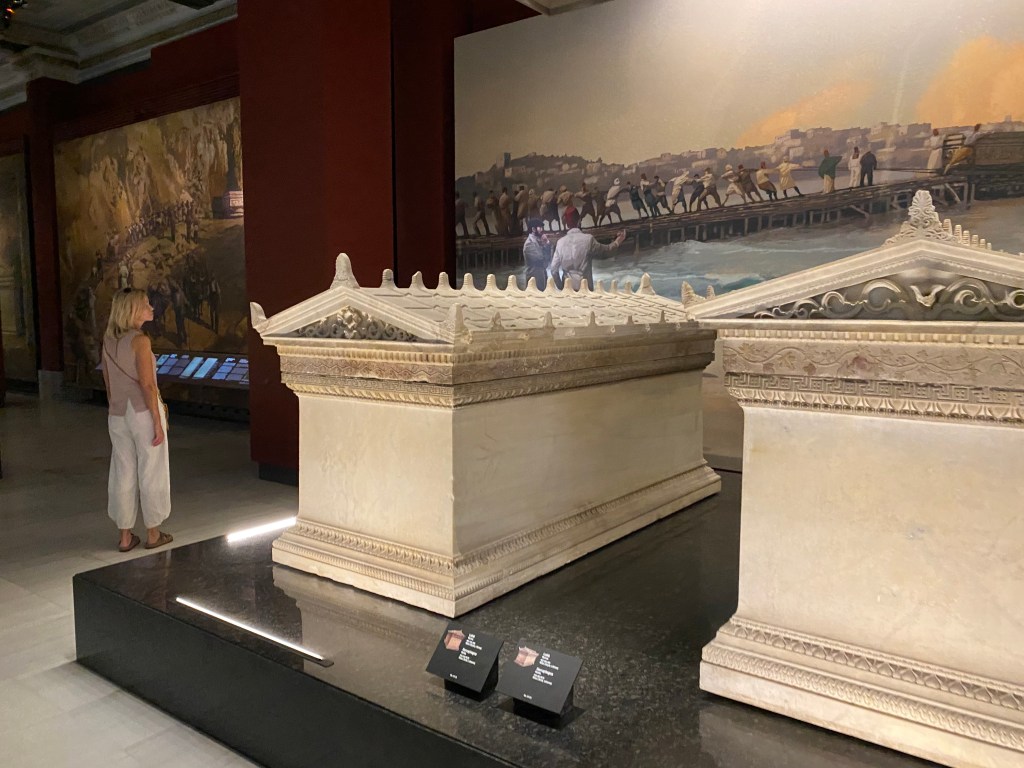
Some cool ancient Greek sarcophagi.

Even cooler Greco-Persian Sarcophagus of Sidamara – at 32 tons, the heaviest sarcaphogas ever found – from Anatolia.

After dinner drinks and snacks in ANOTHER cistern, this one converted into a really cool restaurant.

Which featured live music – great end to our stay in Istanbul.

Next up: the cavernous (literally) cornucopia of Cappadocia!
Categories: Istanbul, Cappadocia, and Paros, Turkey | Tags: , , , , , , , | Leave a comment

Blog at WordPress.com.