Road Trips

A Prolonged Foray to Europe: Valletta Area, Malta

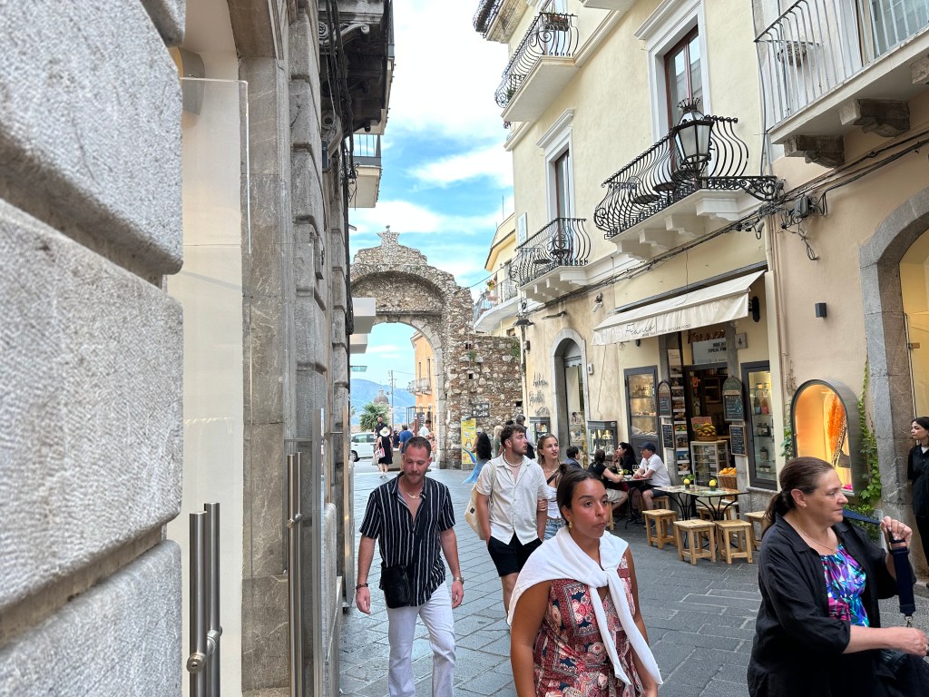
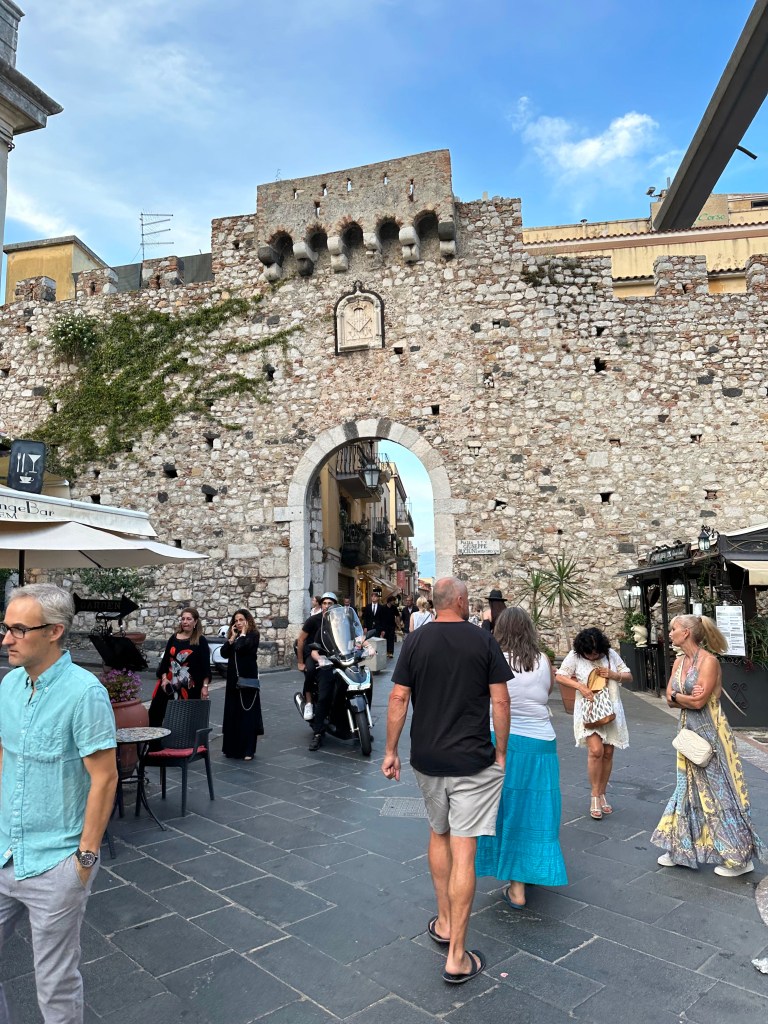
From Taormina, Sicily, we flew a very short hop to the island nation of Malta, country no. 79 for WolfeStreetTravel (and one we’d been eying ever since planning The Smallest 5 for the Big 5-0 trip to Europe’s micronations in 2017).

Malta also represents the third-to-last leg of our post-retirement prolonged foray to Europe trip, the overview and map of which are posted here. We’d spend 4 nights in Malta, and the dry little island nation did not disappoint.

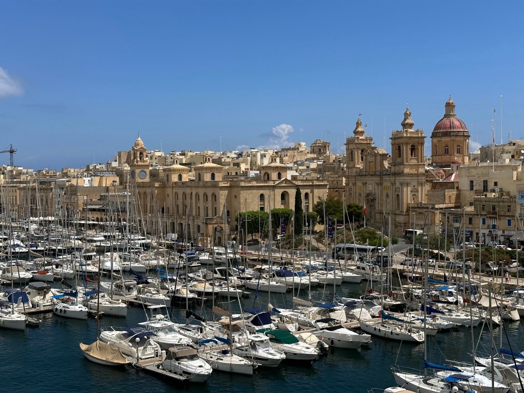
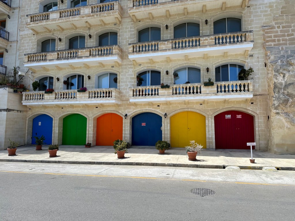
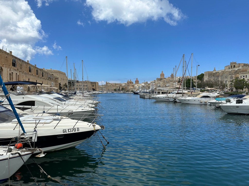
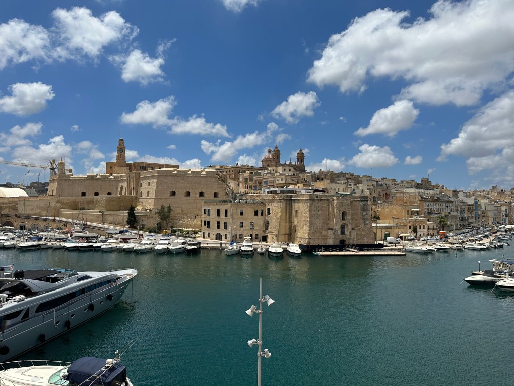
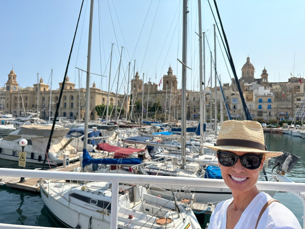
Malta’s Grand Harbor upon arrival:

The island’s history includes Phoenician, Carthaginian, and Roman occupation before the Arabs transformed it between 870 and 1090 AD, leaving a lasting imprint on the Maltese language, which remains Semitic at its core.

The Normans then took Malta, beginning a long stretch of Christian rule that culminated in 1530 when Holy Roman Emperor Charles V granted the island to the Knights Hospitaller after the order lost their previous base of operations, the island of Rhodes, to the Ottoman Turks. (The emperor also granted them the city of Tripoli in modern Libya, but the Ottomans ran them out of town there, as well, leaving them with only Malta [and a small town in the Holy Roman Empire, which they controlled until the early 19th century and Napoleon]).

While under Hospitaler control, the Ottomans continued their westward expansion across the Mediterranean, and targeted Malta as their next conquest. In 1565, the Hospitallers – left essentially to fend for themselves – repelled a prolonged Ottoman siege in one of history’s most dramatic defensive stands. Pretty epic tale. (And a good read – we finished Empires of the Sea: The Siege of Malta, the Battle of Lepanto, and the Contest for the Center of the World before we arrived to give us a good feel for what we were getting into; definitely recommended if you’re into that sort of thing.) After fending off the siege, the Hospitalers transformed some fortifications opposite the Grand Harbor into their capital city and named it Valletta after Jean Parisot de Valette, their Grand Master, who led the defense of the island.

Britain took control of Malta in 1800 after helping the Maltese expel the French forces that had occupied the island following Napoleon Bonaparte’s invasion in 1798. Although Britain initially intervened as an ally, it retained Malta because its central Mediterranean location and excellent natural harbor made it a vital naval base for protecting British trade routes and projecting military power. Britain refused to return the island as required by the Treaty of Amiens, and Malta remained a British colony until it gained independence in 1964.
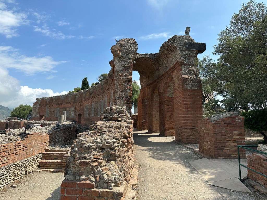
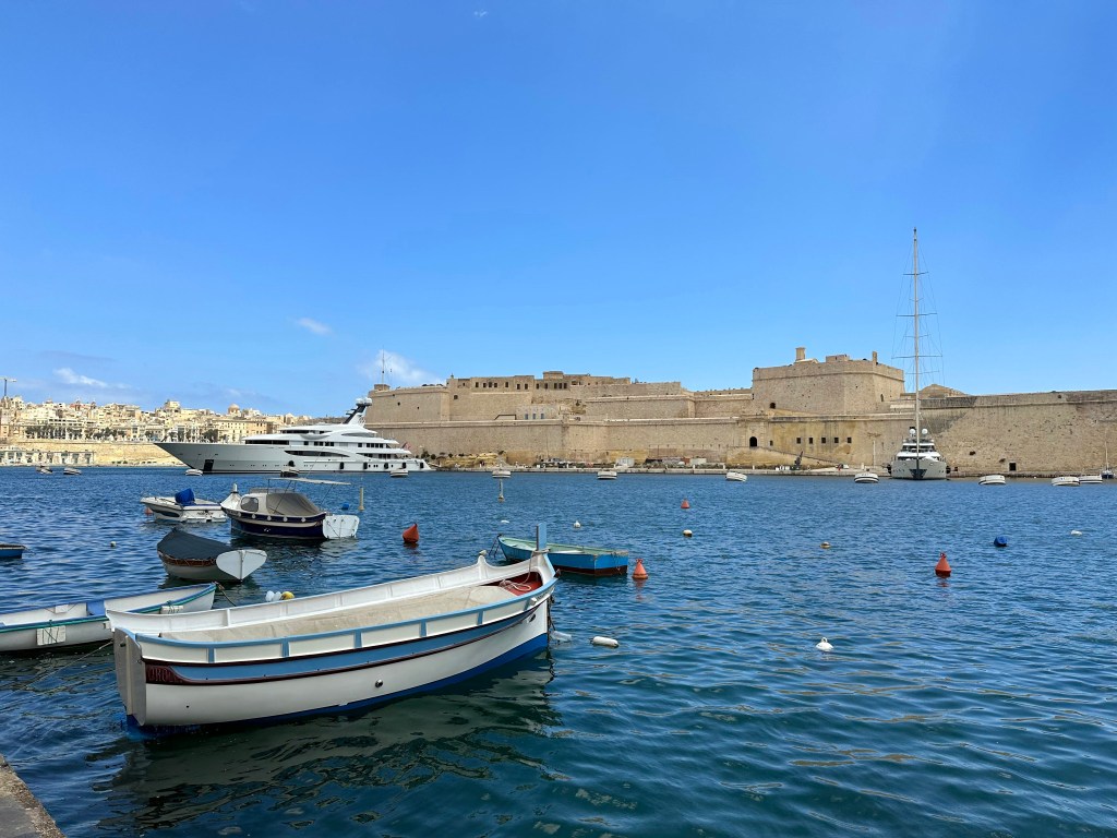
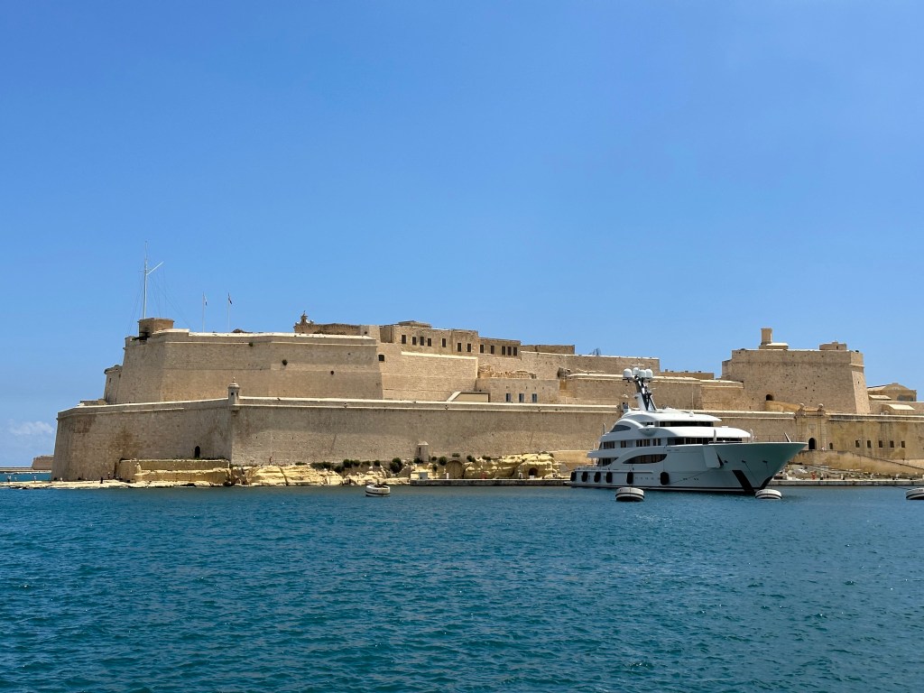
During Britain’s rule of the island in WWII, Malta became a critical naval hub and endured one of the most sustained aerial bombardments of the entire war, earning the troops the George Cross collectively from King George VI in 1942. Fort Angelo on the peninsula of Birgu, which was manned by the British Navy during WW II, seen from across the harbor from the peninsula of Senglea (we’d eventually visit it):

Malta gained independence in 1964, became a republic in 1974, and joined the European Union in 2004, completing a journey from ancient temple-builders to modern European democracy in one of the Mediterranean’s most strategically contested stretches of rock.

Our hotel in the background was located in a decommissioned fortress on Senglea, one of Malta’s historic Three Cities on a spit of land across the Grand Harbor from Valetta, the capital city.

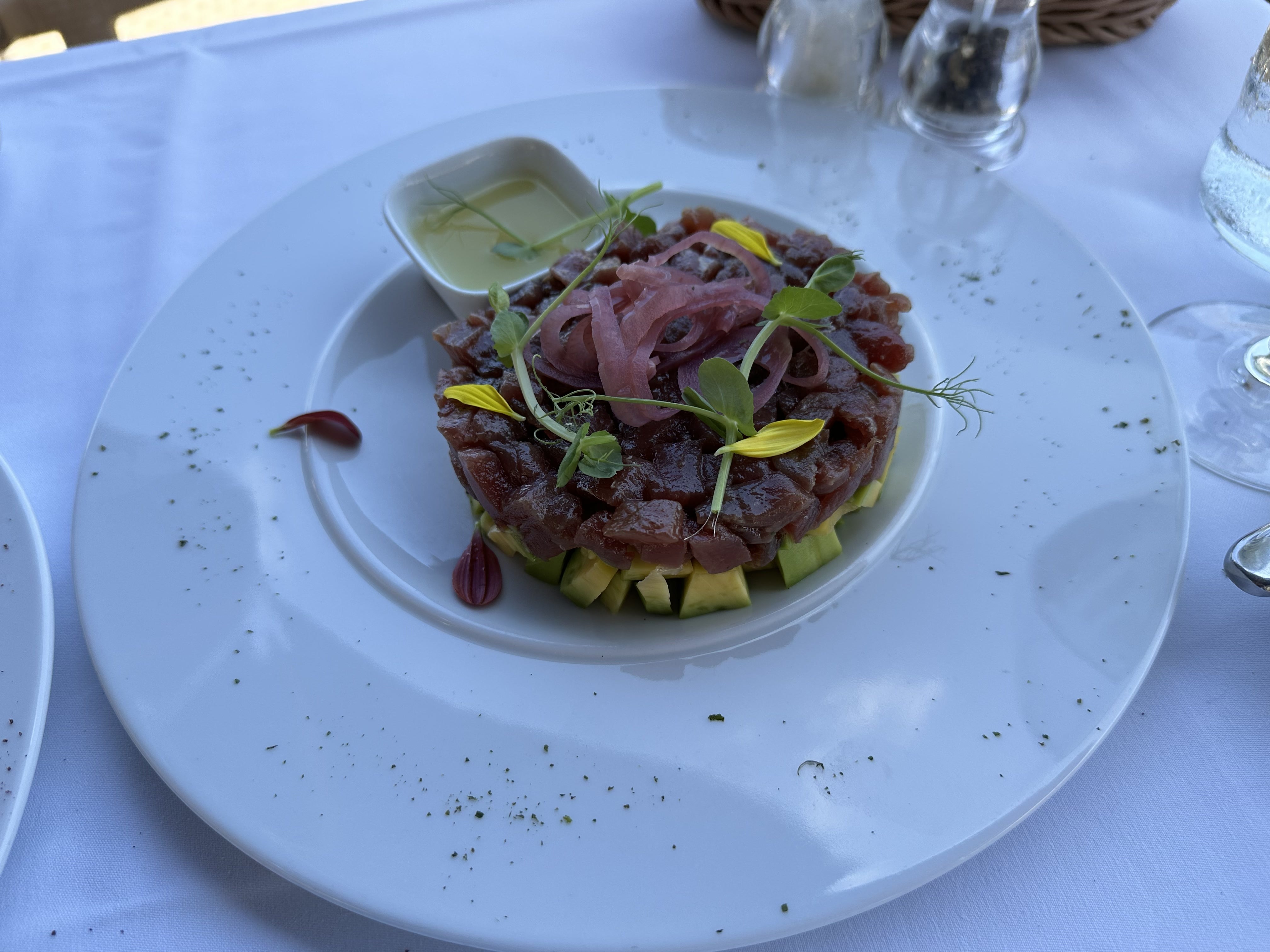
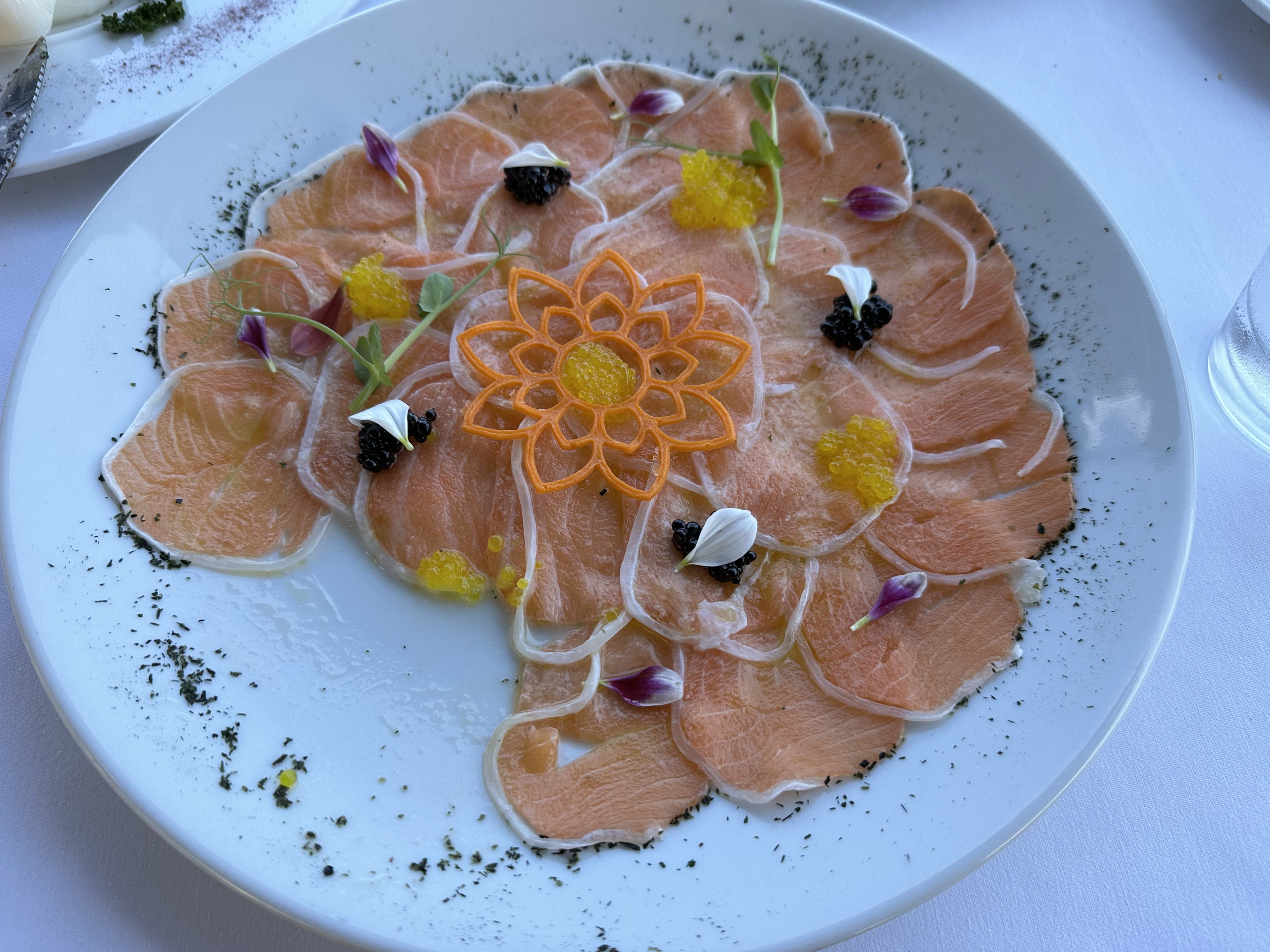
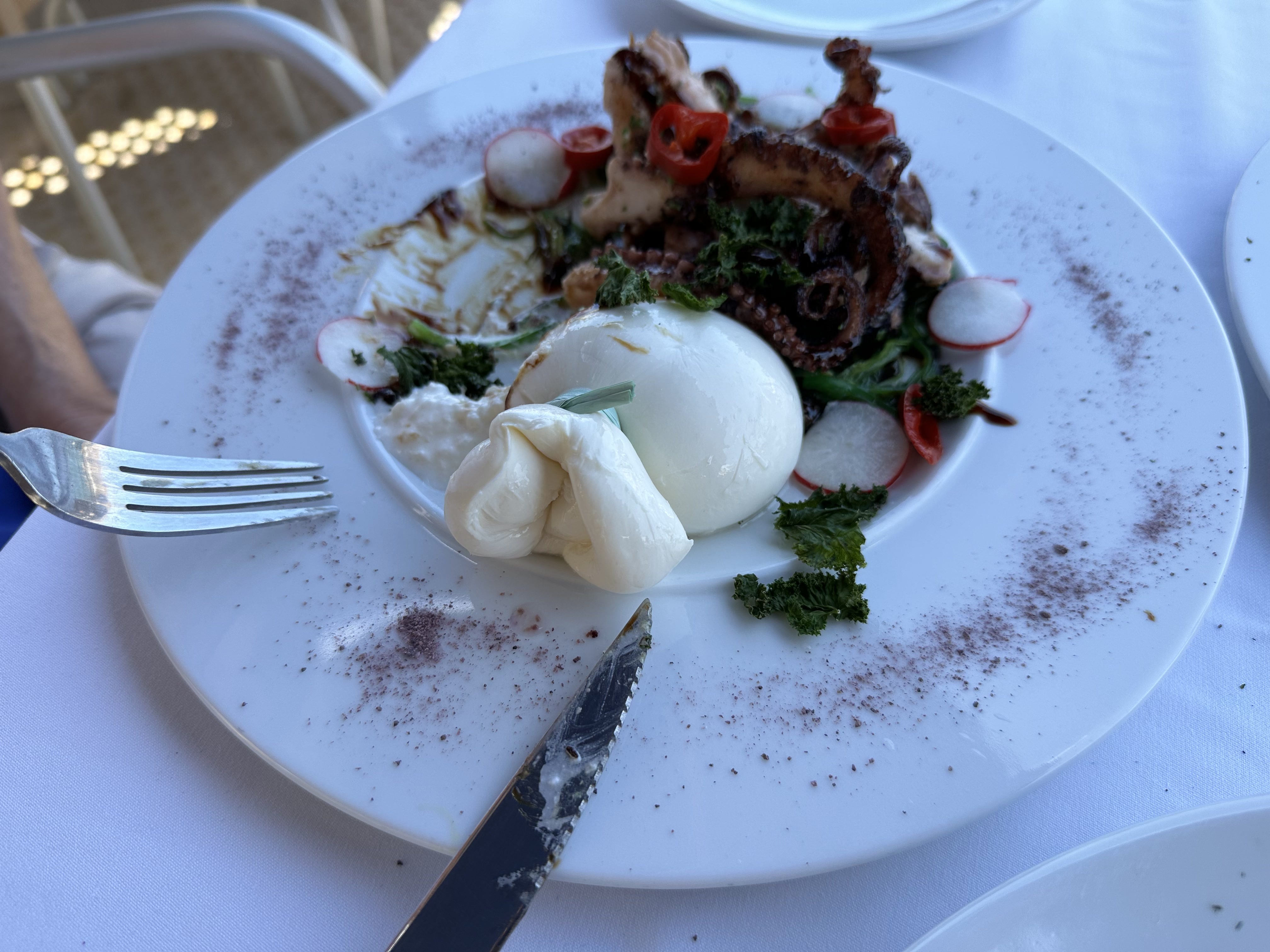
First lunch in town on Senglea – pretty great start to our stay (we’d return there for our final dinner):

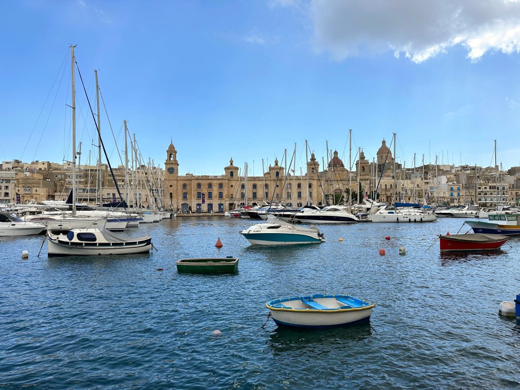
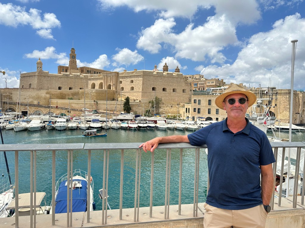
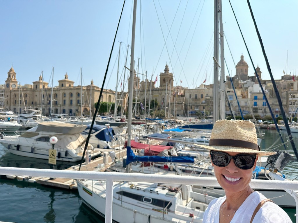
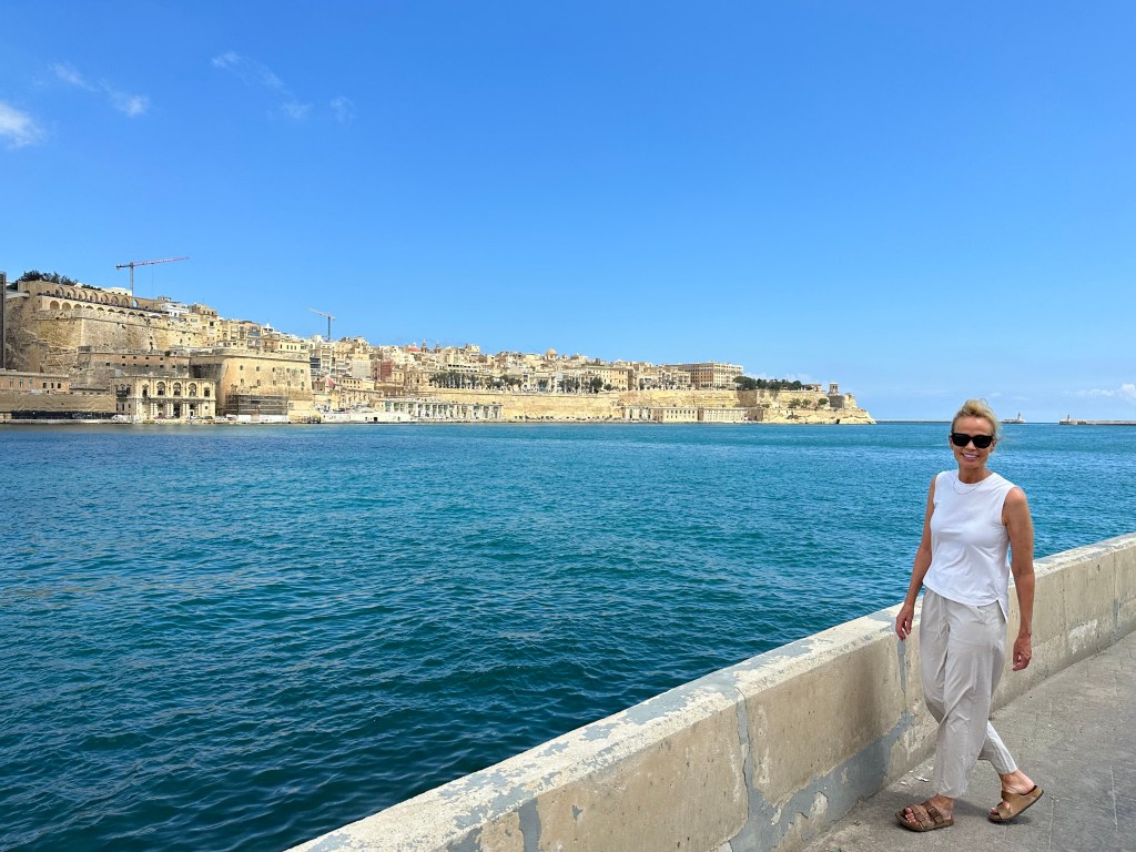
Walking along the Grand Harbor; we stayed on the left, the peninsula of Senglea; the parallel peninsula of Birgu is to the left, and Valletta itself is straight ahead.

The fortifications around Valletta, passed as we arrived from the water taxi stand many stories below the city elevation (there’s an outdoor elevator to get you from there to here):

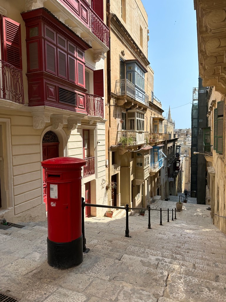
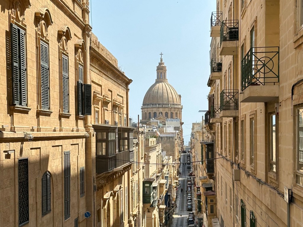
The narrow and atmospheric streets of Valletta:

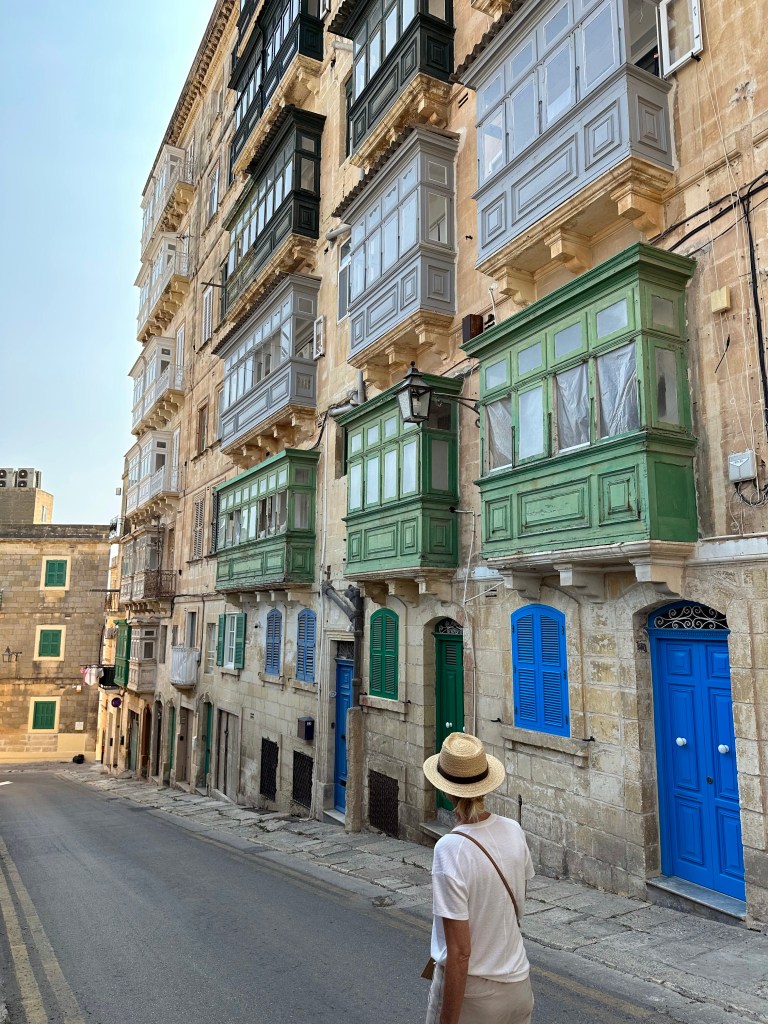
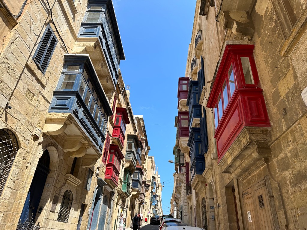
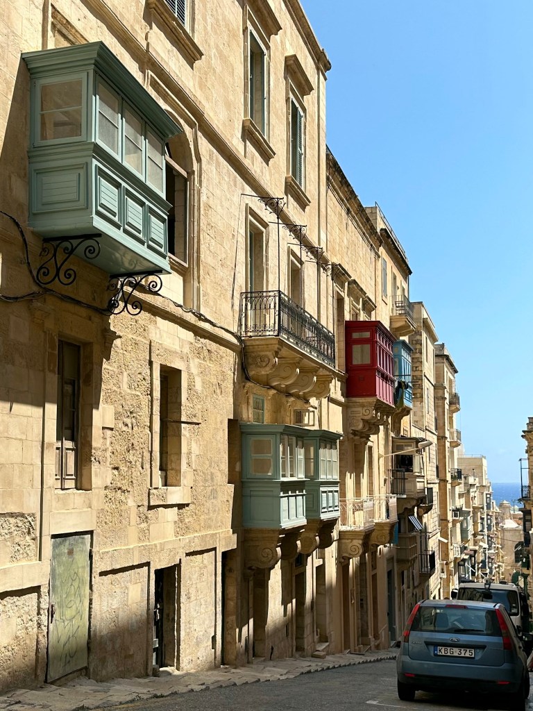
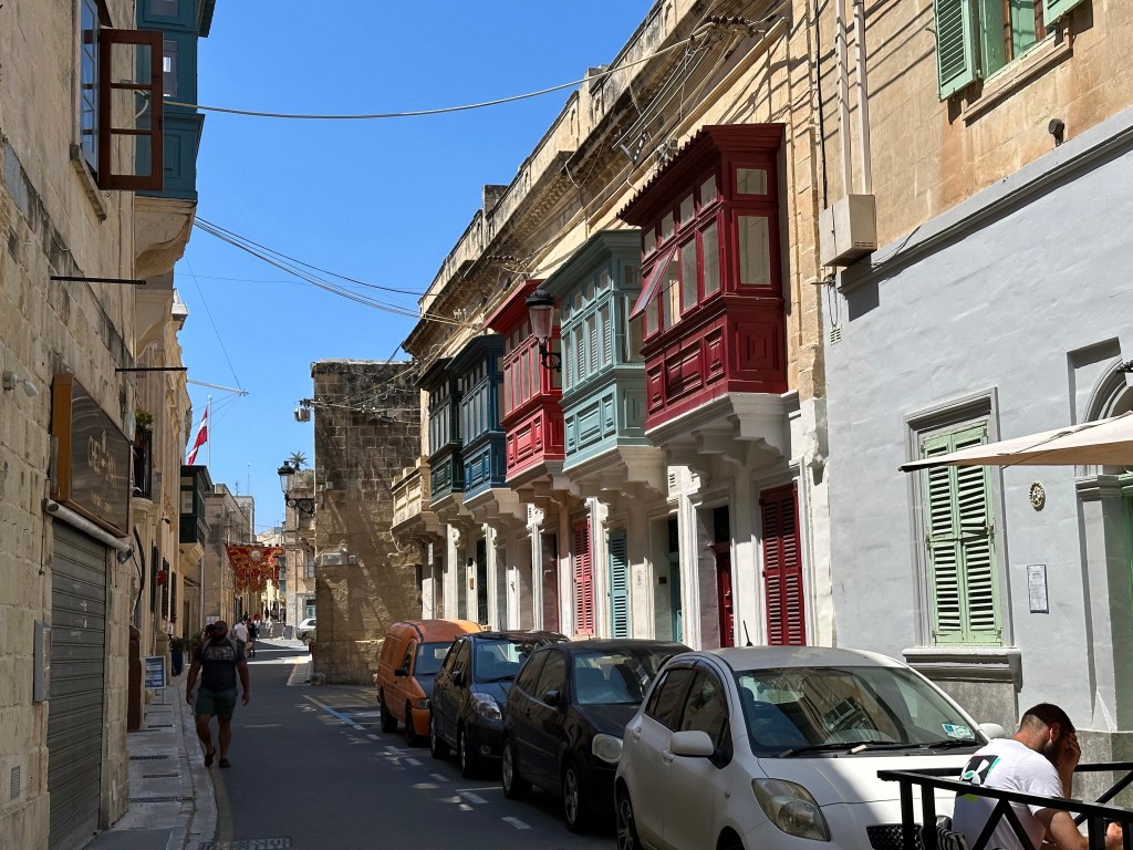
Punctuated by the city’s uniquely characteristic and multicolored gallarija:

“The gallarija is considered a descendant of the Maltese muxrabija, and it is closely related to the mashrabiya which are typical in Arabic architecture. . . [which consist of] an ornate timber screen, perforated with an intricate network of holes, tightly fitted into a window or loggia. . . Muxrabijet had the task to keep the interior of the building cool by allowing circulation of air through the carved wood. They were also used as cooling device for storing water, and as a security measure to observe the outside without being seen.

Pretty much every single street in Valletta was flanked by gallarija.

A city of limestone, punctuated by brightly colored wood elements. Pretty picturesque.

Water taxi ride back to Senglea:

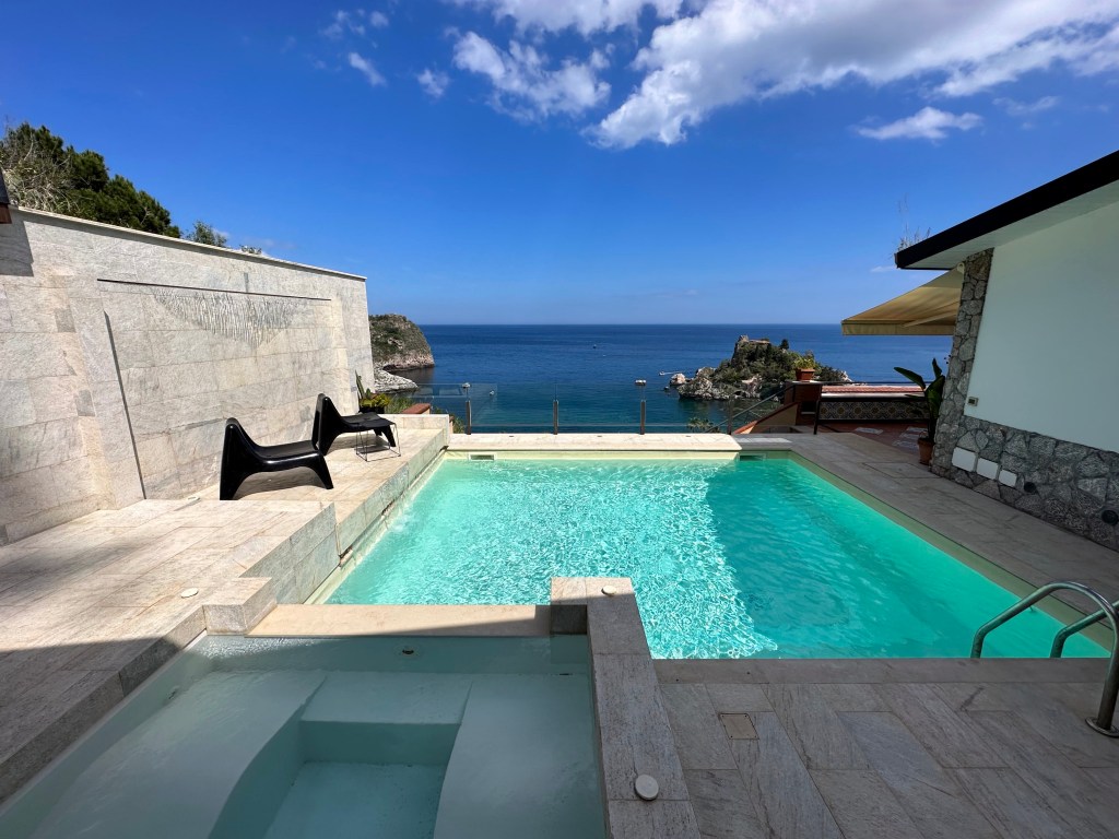
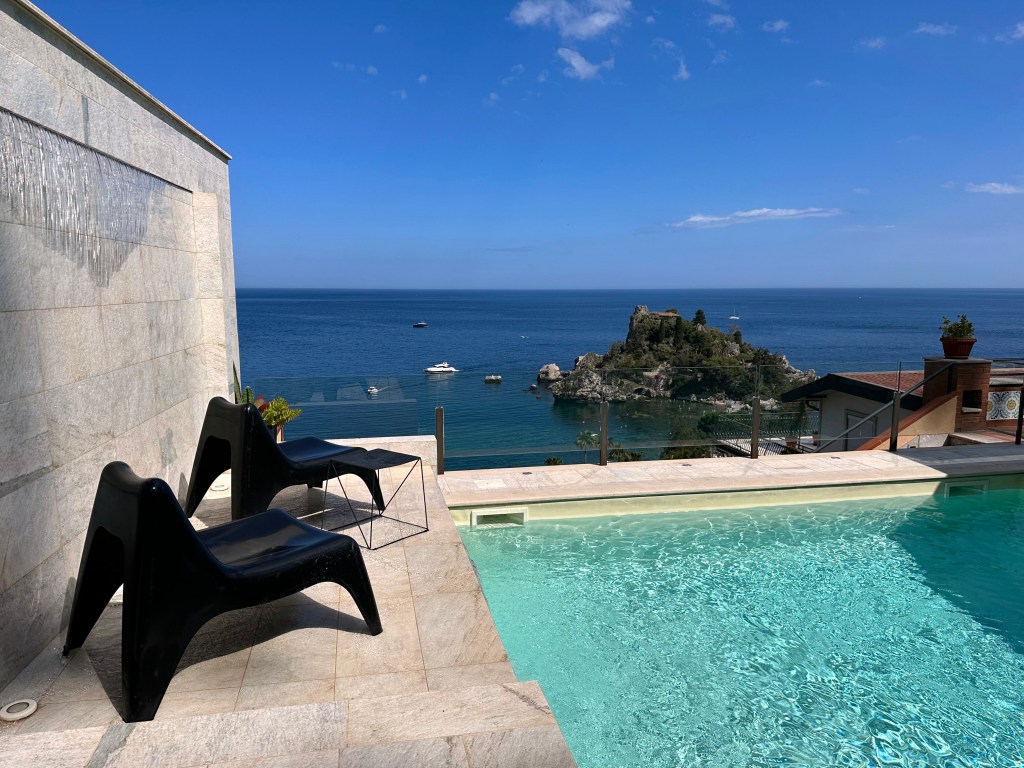
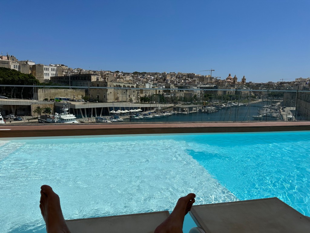
Our hotel occupied one of the Hospitalers’ old fortresses, which was freakin’ awesome. The walls in the rooms were 3′ thick and you could feel the history. Plus, this pool:

Pretty great perch of the Grand Harbor.
View from our room’s cannon embrasure-cum-window:

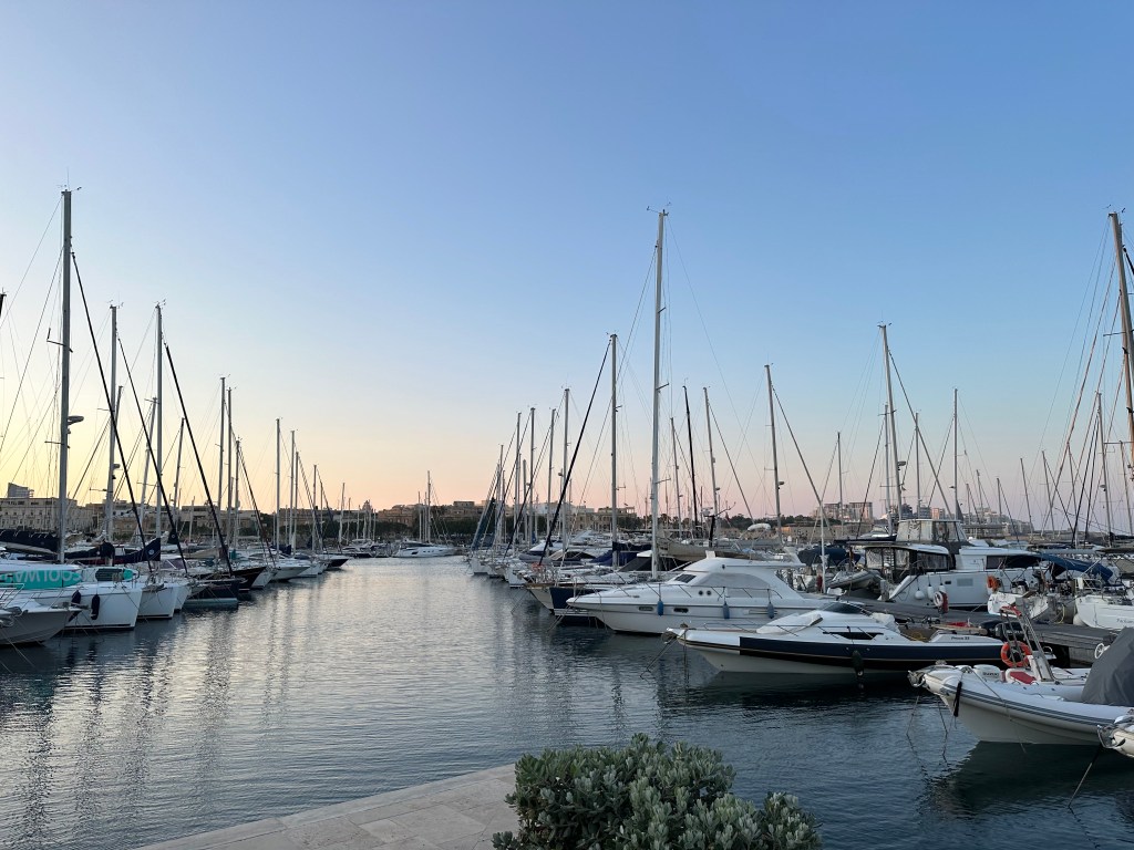
Very cool little harbor area off the Grand Harbor on Birgu that was, um, harboring a very nice restaurant.
Access to the restaurant was gained through the abandoned tunnels of Fort St. Angelo.

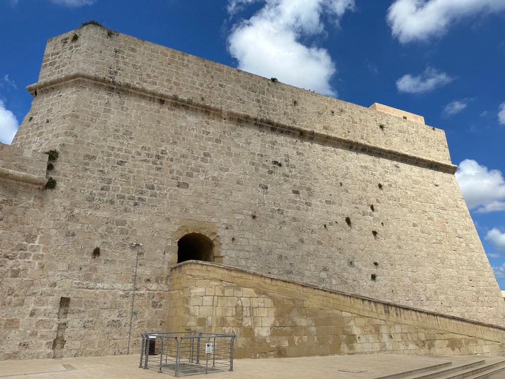
After walking around, sailing around, and walking under Fort St. Angelo, we finally decided to actually visit the place.

“The fort was garrisoned by the British from 1800 to 1979, at times being classified as a stone frigate known as HMS Egmont or later HMS St Angelo. The fort suffered considerable damage during World War II, but it was later restored.

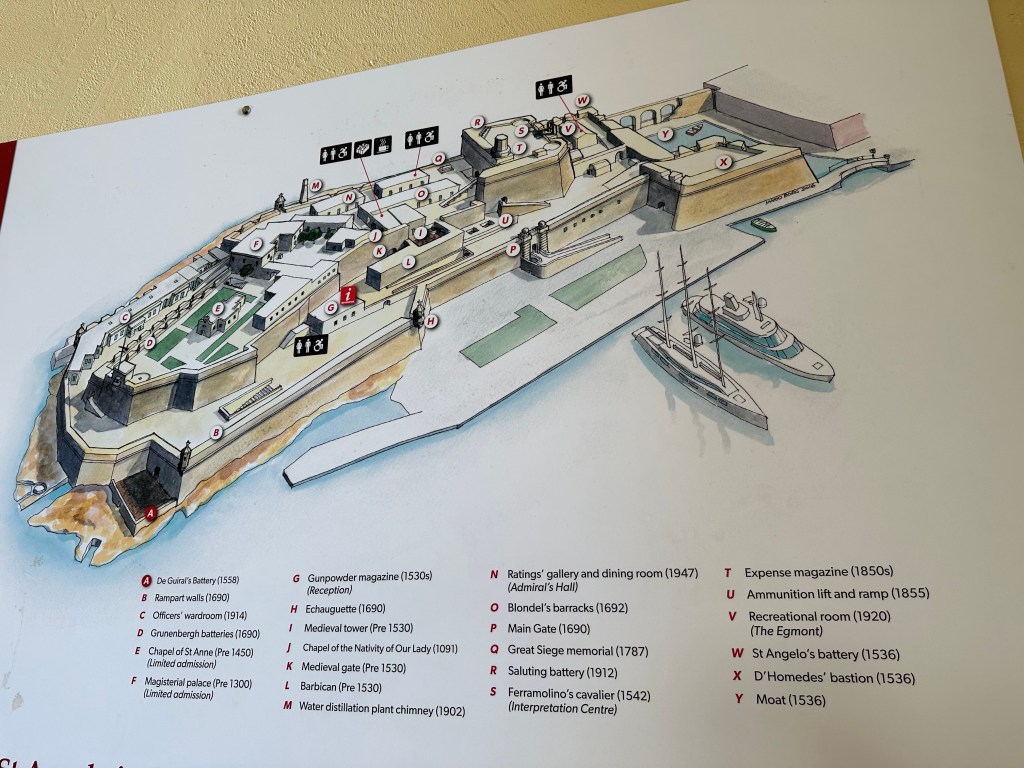
Map of the fortifications with dates delineating the evolution of the fort from the Hospitalers’ era in the 1500s (and even earlier to 1091 for one of the chapels that predated – by a long stretch – their arrival) to the 1940s:

View over to Senglea across the harbor:

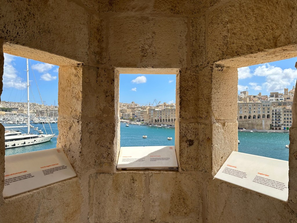
Inside a watchtower on the very tip of the fort and of Birgu; the tip of Senglea is out the right window, but you can’t tell.

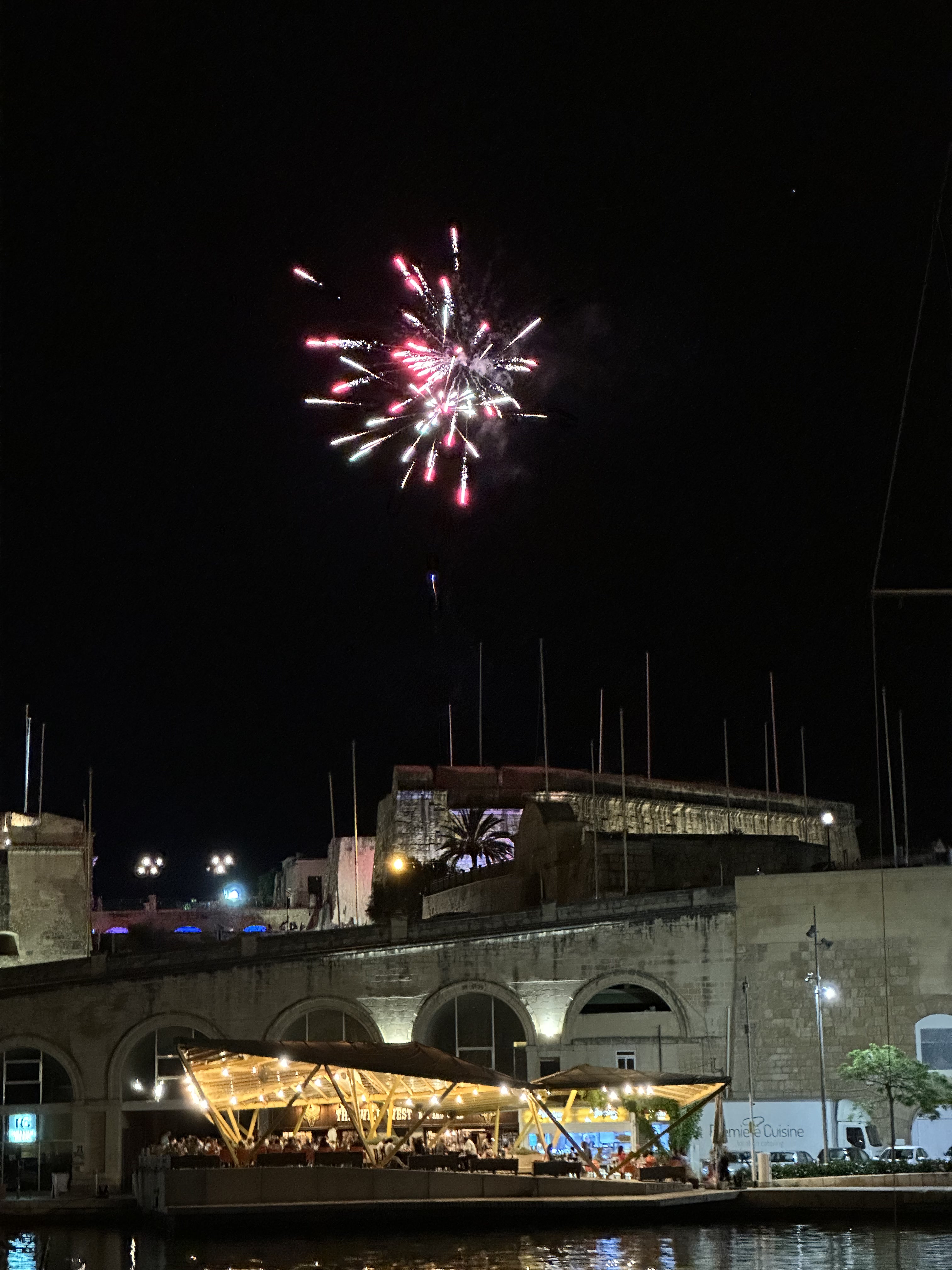
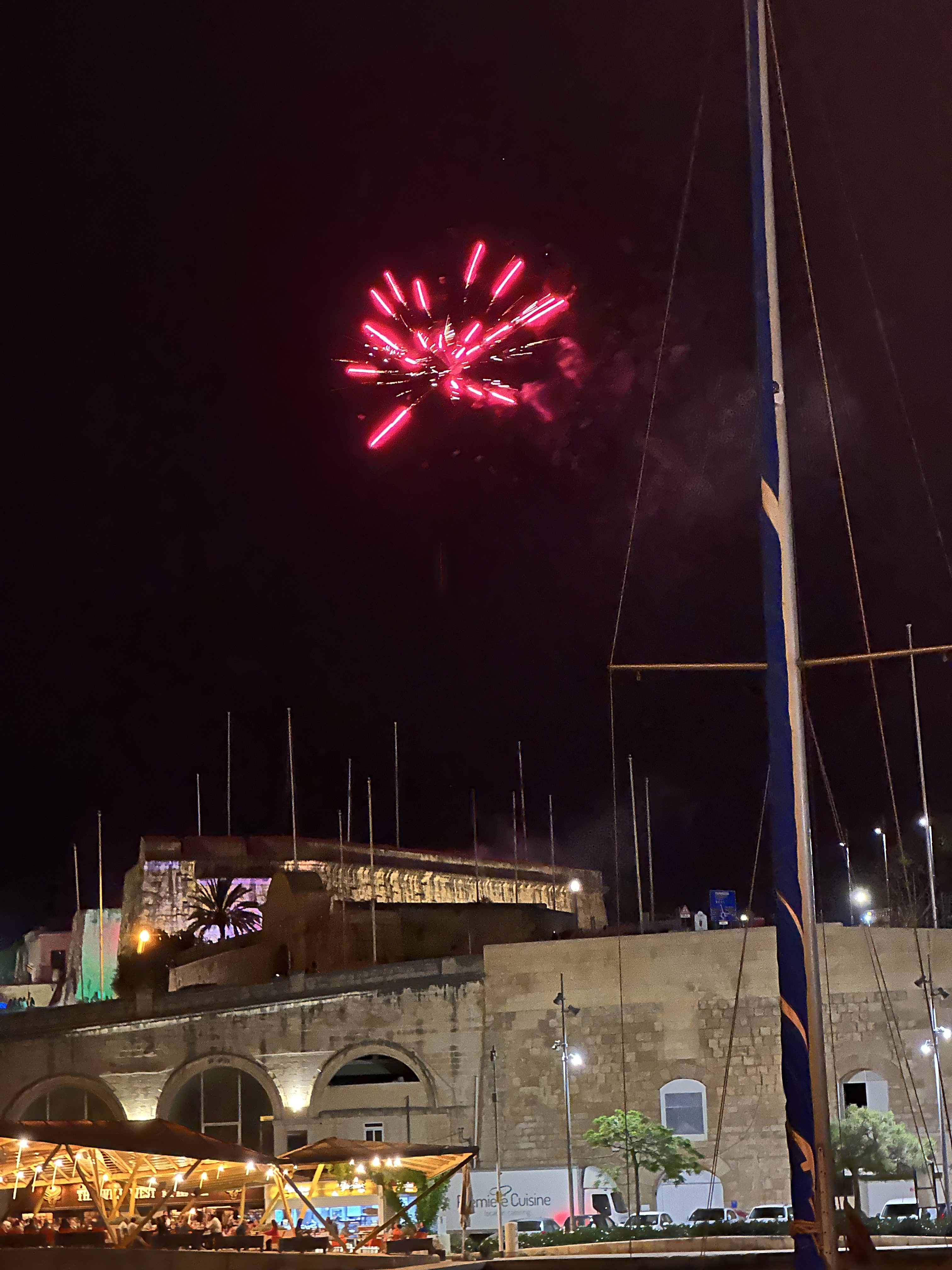
Another evening in Malta after a day trip to Mdina, which will cover in another post. Unbelievable weather the entire time, though.

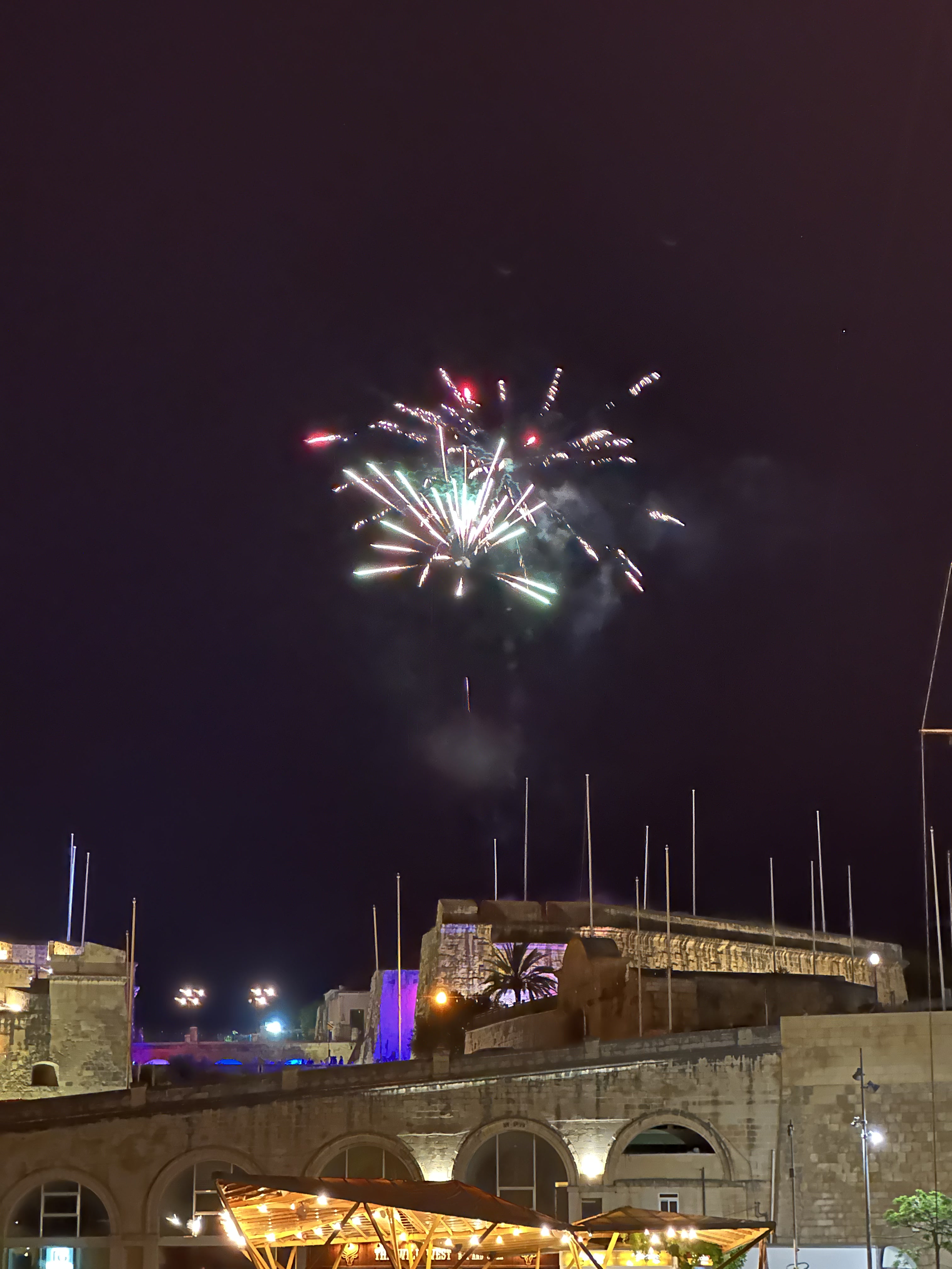
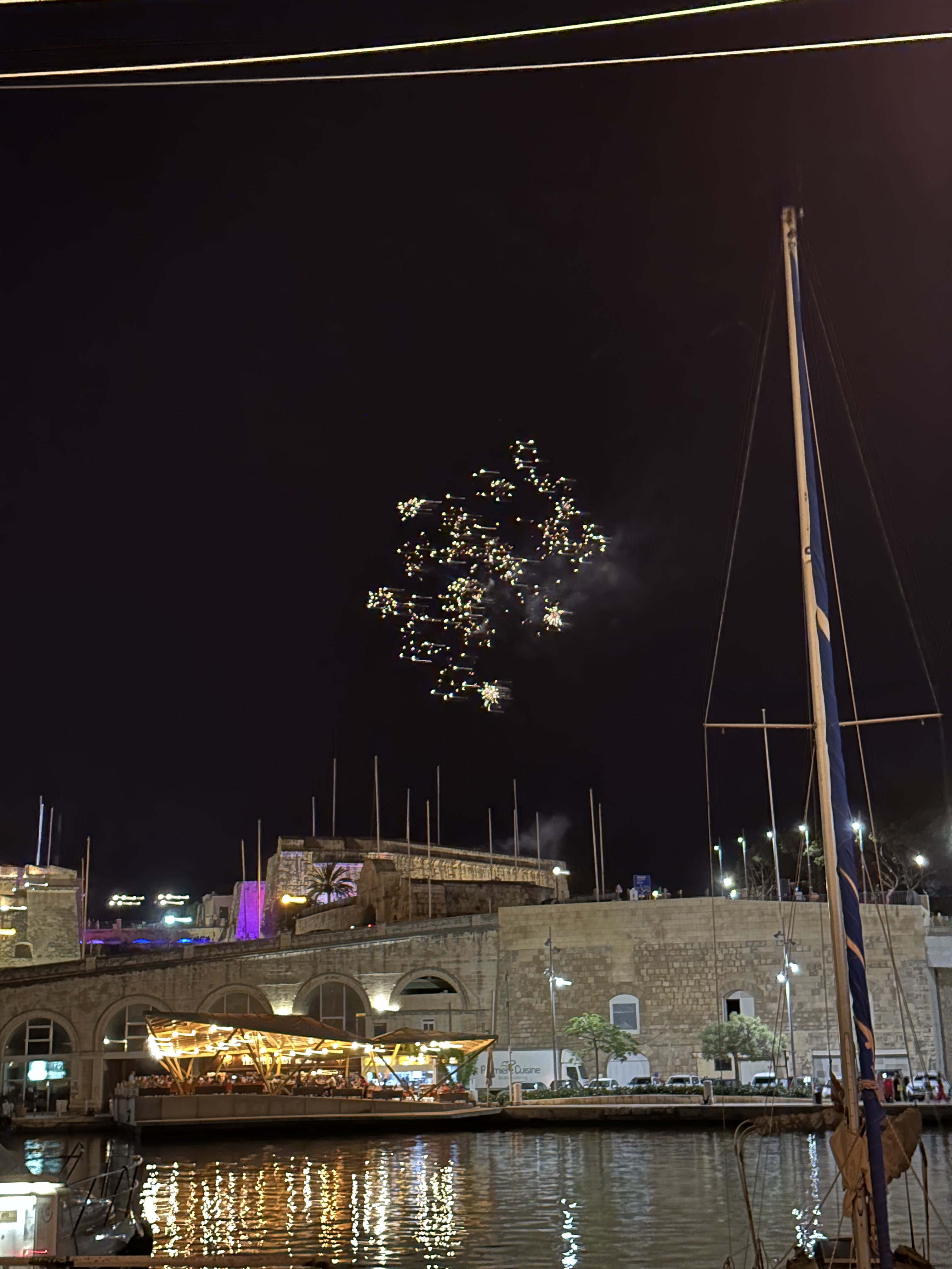
Unexpected fireworks towards the end of dinner:

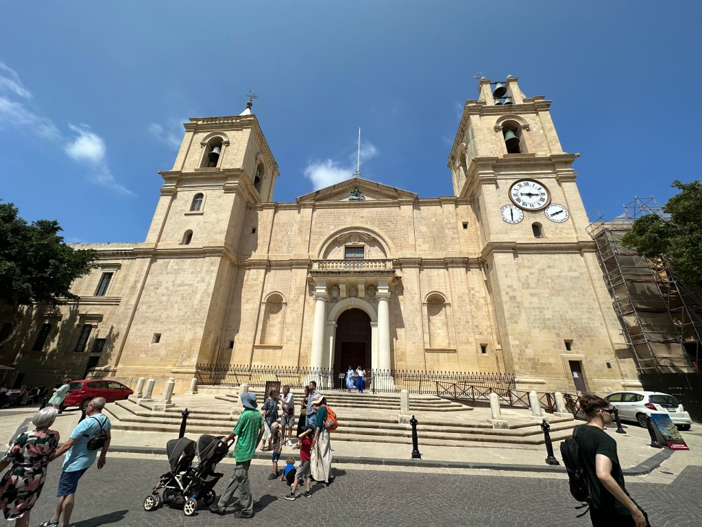
The dome of Hospitalers’ (Order of St. John’s / Knights of St. John’s) St. John Co-Cathedral in Valletta:

St. John’s Co-Cathedral was built between 1573 and 1578 by the Knights of St. John as their conventual church following the Great Siege of Malta, with its austere exterior designed by Maltese architect Girolamo Cassiere concealing one of the world’s most lavish Baroque interiors.

It’s a co-cathedral (we had never heard of this before) because the original (and still) bishop’s seat on Malta was in the interior town of Mdina at St. Paul’s Cathedral. But the Hospitalers new one got recognized by the Pope, as well, and he granted it equal cathedral status, as a co-cathedral. One bishop, two cathedrals. Pretty wild.

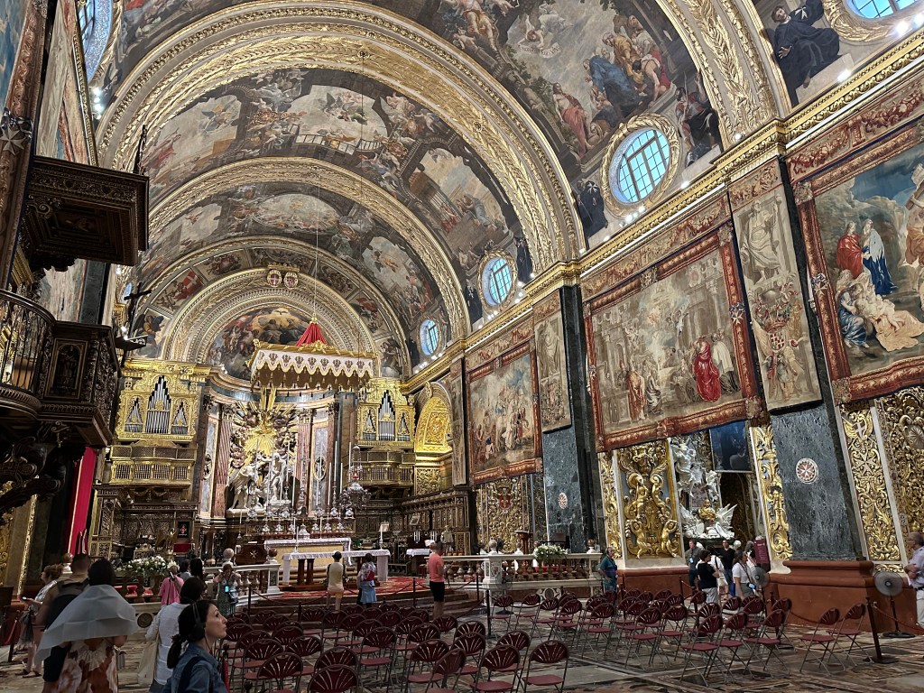
Today, the co-cathedral is Malta’s most important religious and artistic monument, symbolizing the power and legacy of the Knights Hospitaller while serving as one of Europe’s finest examples of Baroque architecture and a centerpiece of Valletta’s UNESCO World Heritage status.

Spectacular ceiling of the co-cathedral

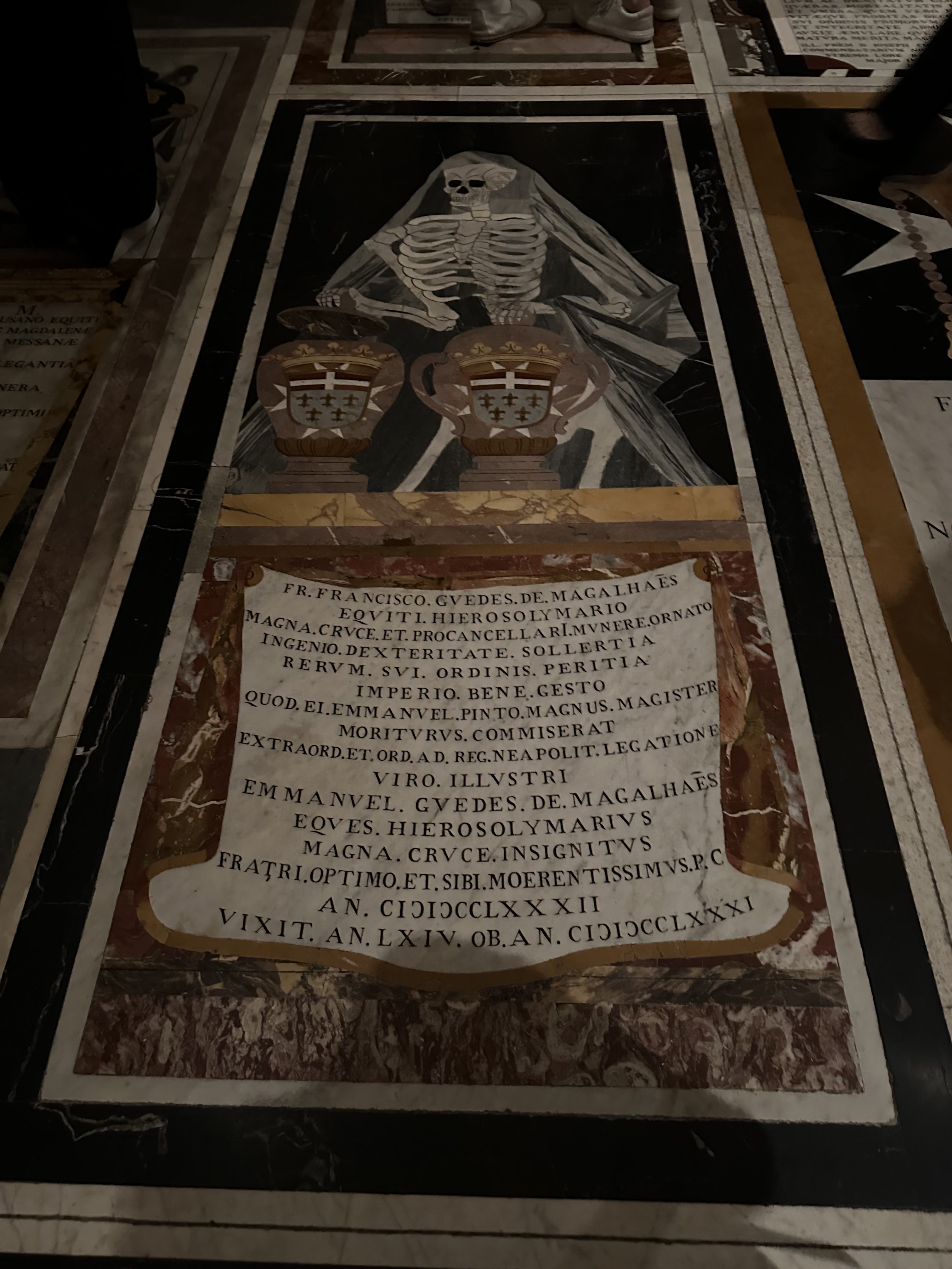
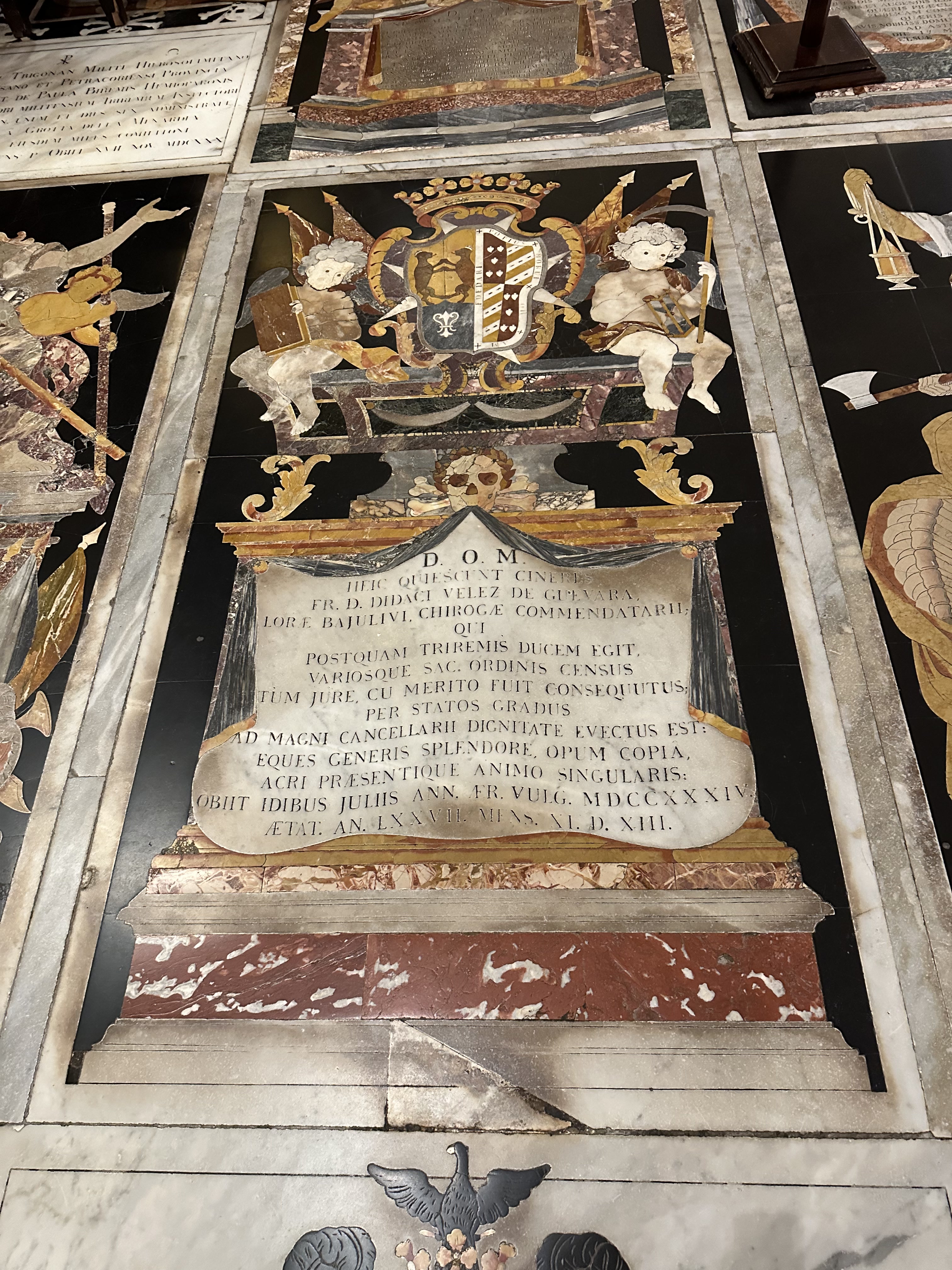
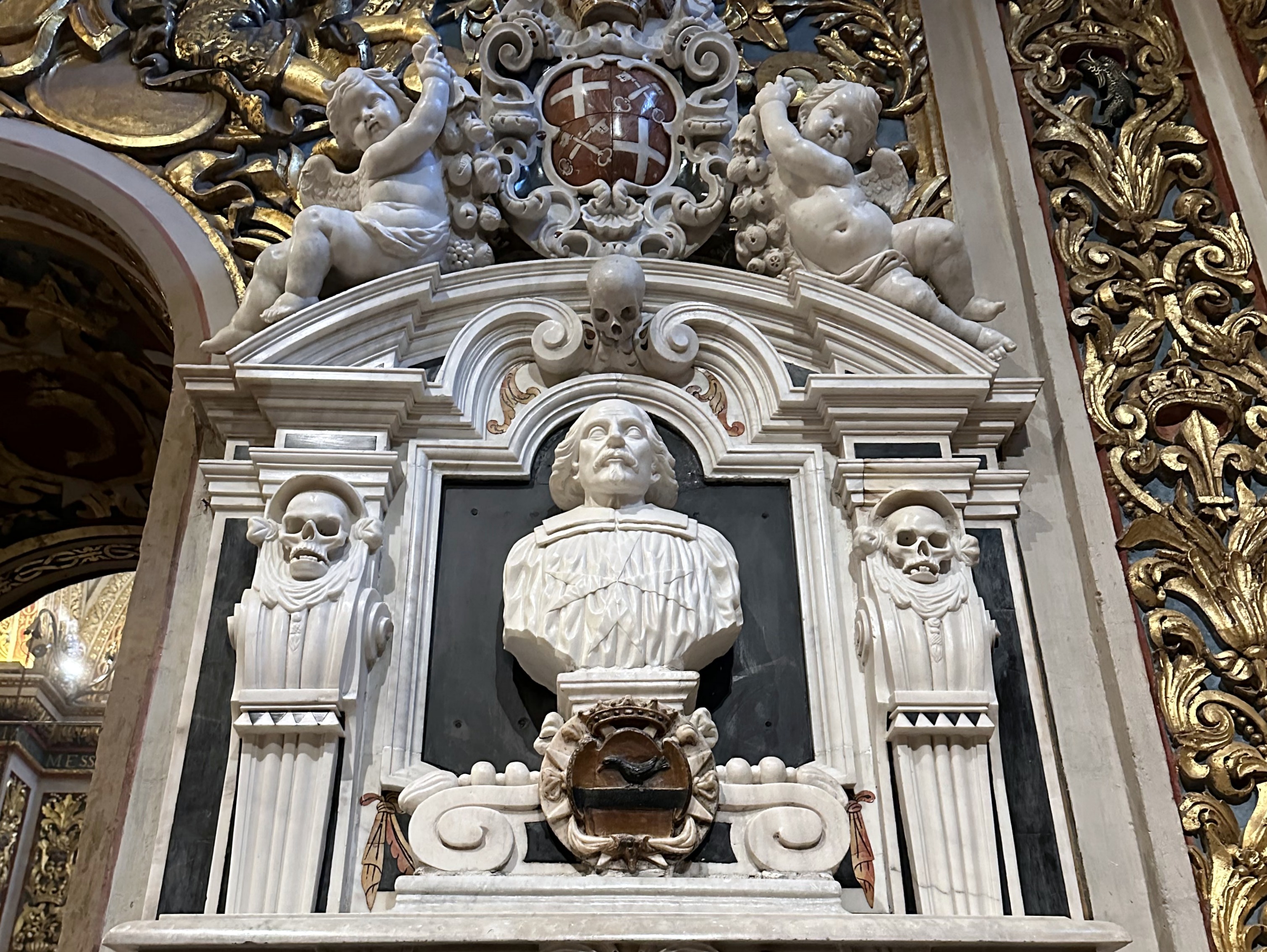
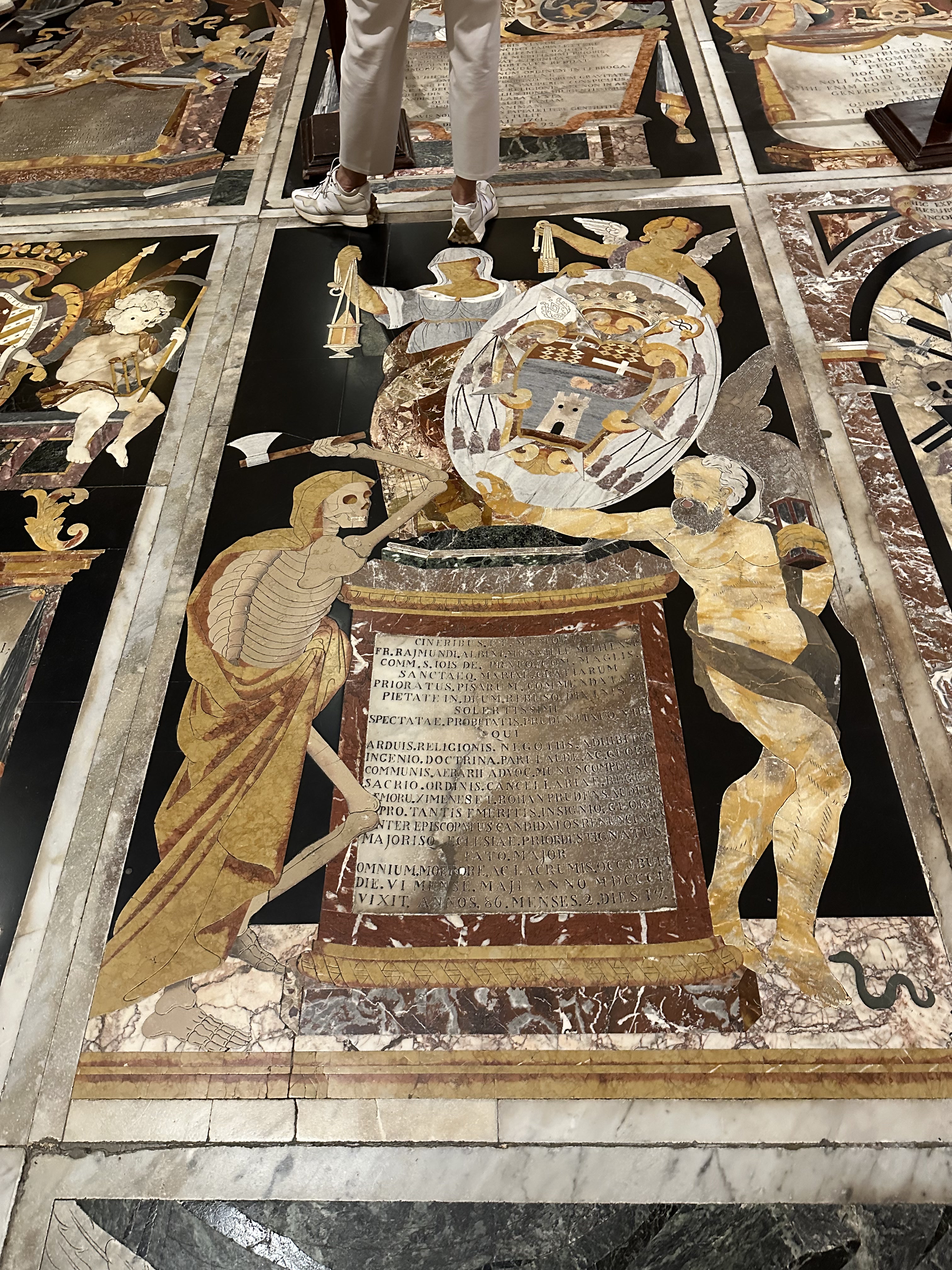
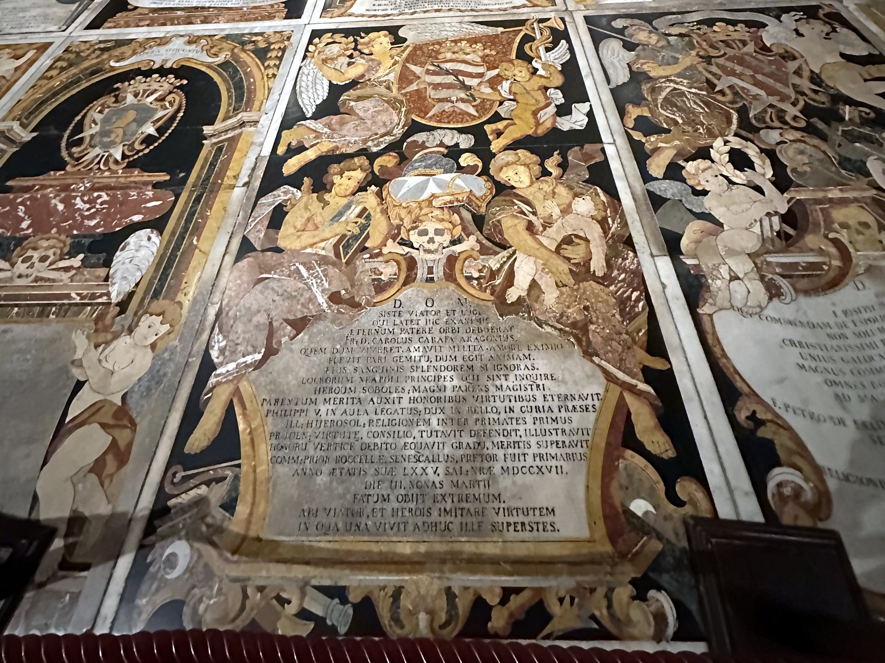
Way better to us was the floor – the entire place was occupied by elaborate tombs of the Knights of St. John:

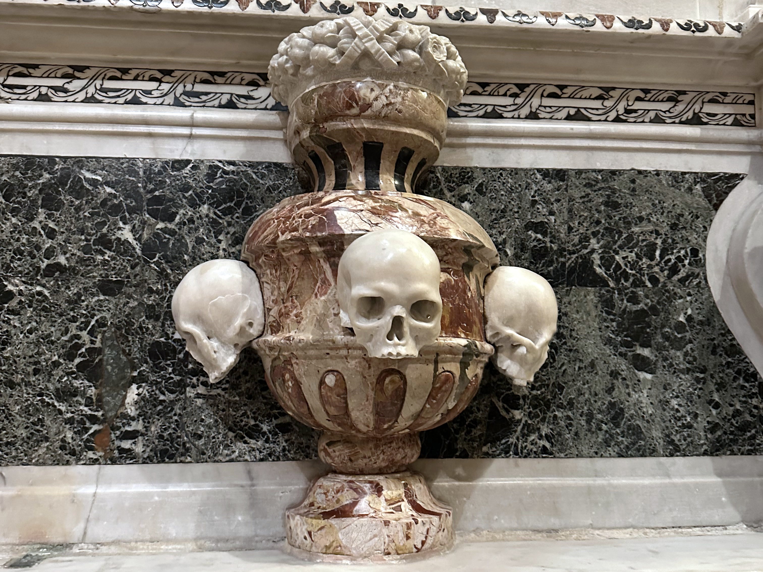
Most of which included macabre elements, to our delight:

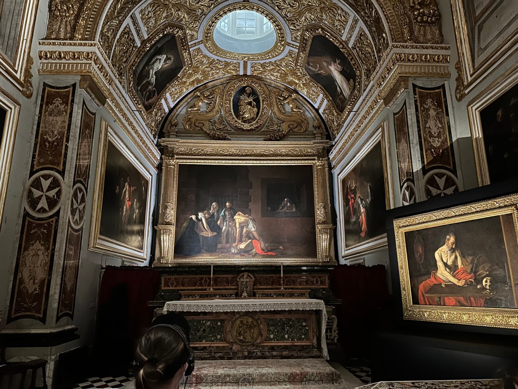
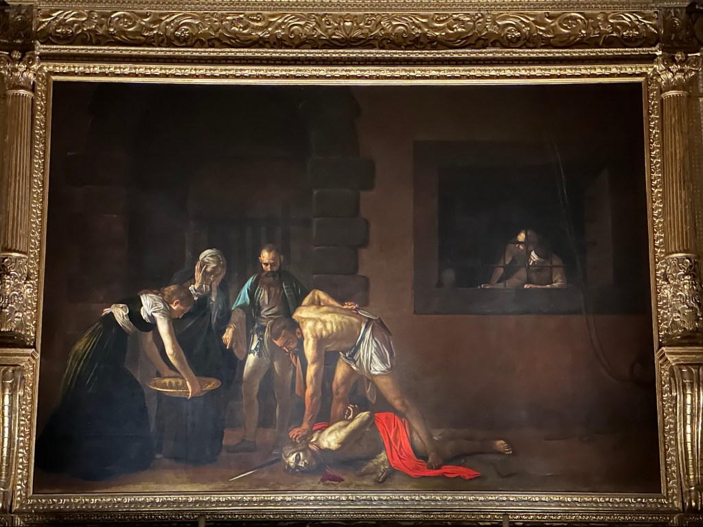
One of the greatest treasures of St. John’s Co-Cathedral and one of the masterpieces of Western art is Caravaggio’s The Beheading of Saint John the Baptist (1608). It’s the cathedral’s most famous work and the reason many art lovers travel to Malta.

It’s significant for the following reasons:

  • It is Caravaggio’s largest painting. Measuring roughly 3.6 × 5.2 meters (12 × 17 feet), it is the largest canvas he ever painted and one of the few works created specifically as an altarpiece.
  • It is Caravaggio’s only signed painting. If you look near the pool of blood beneath John the Baptist’s neck, you’ll find the artist’s signature: “f. Michelangelo” (“Fra Michelangelo”), written in the blood. He signed it this way because he had just been admitted as a Knight of the Order of St. John—a unique moment in his tumultuous life.

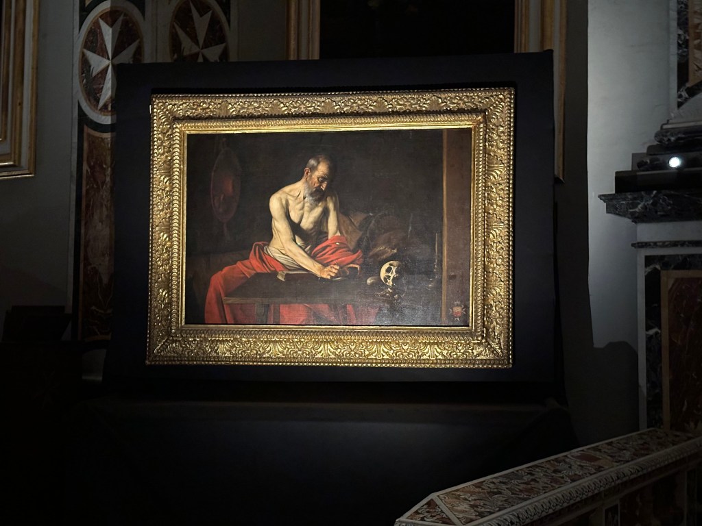
Saint Jerome Writing, also by Caravaggio, painted around 1607–1608 during his stay in Malta, depicting Saint Jerome translating the Bible into Latin, with the skull symbolizing the fleeting nature of life.

Check out the discrete Maltese cross Caravaggio included in the bottom right of the painting, paying homage to the patrons who funded it. . .

Next up: Mdina, Malta, and then, finally, some biking.

Categories: A Prolonged Foray to Europe, Malta | Tags: , , , , , , , , , , | Leave a comment

A Prolonged Foray to Europe: Mdina, Malta

While staying in the Valletta area, we grabbed an Uber for a field trip to Mdina, the Maltese capital’s forerunner until the 16th century. After the Knights of St. John made the new fortified town of Valletta their capital after the Great Siege of 1565, Mdina faded in significance and slid into backwater status significantly enough to be nicknamed the “Silent City.” Based on our stroll throughout town, this is pretty apt, although Silent Sunburnt City may be even more on brand.

Founded as a fortified settlement by the Phoenicians around the 8th century BC, the town later became the Roman city of Melite. Under Arab rule beginning in the 9th century, it was reduced and fortified into the compact medieval city that became known as Mdina. (The Arabs also separated the fortified city from the surrounding area—creating what became Mdina, literally the city, while the adjoining suburb became Rabat, meaning suburb or quarter in Arabic. We’d visit both during our little field trip.)

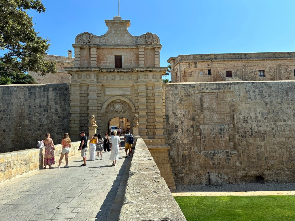
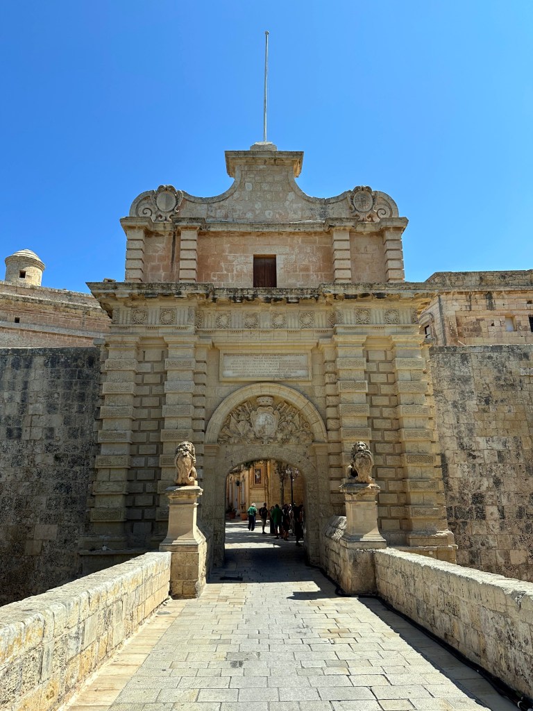
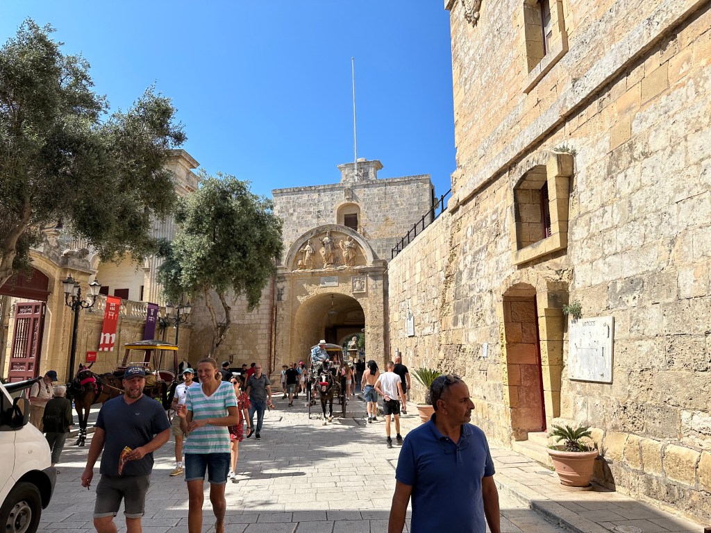
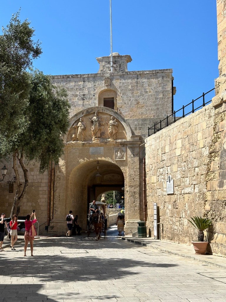
Mdina’s Baroque Main Gate, dating from 1724. Built during the rule of the Hospitallers, it replaced the medieval entrance that was destroyed during the 1693 Sicily earthquake nearby (which gave rise to the Baroque Towns we visited just prior, in Sicily).

The gate is flanked by two lions, which are associated with Antonio Manoel de Vilhena, the Grand Master of the Order of St. John in Malta during the late 18th century, as well as Vilhena’s coat of arms over the gate proper.

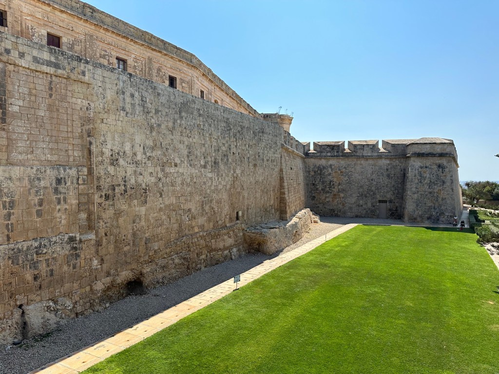
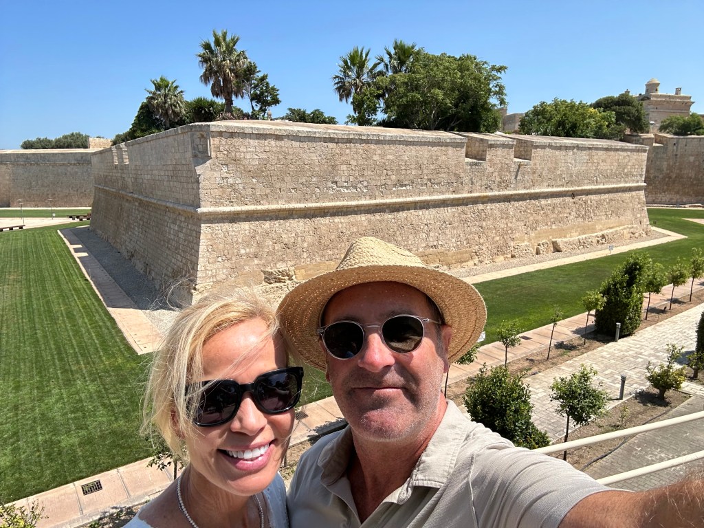
Extant fortifications of the city on either side.

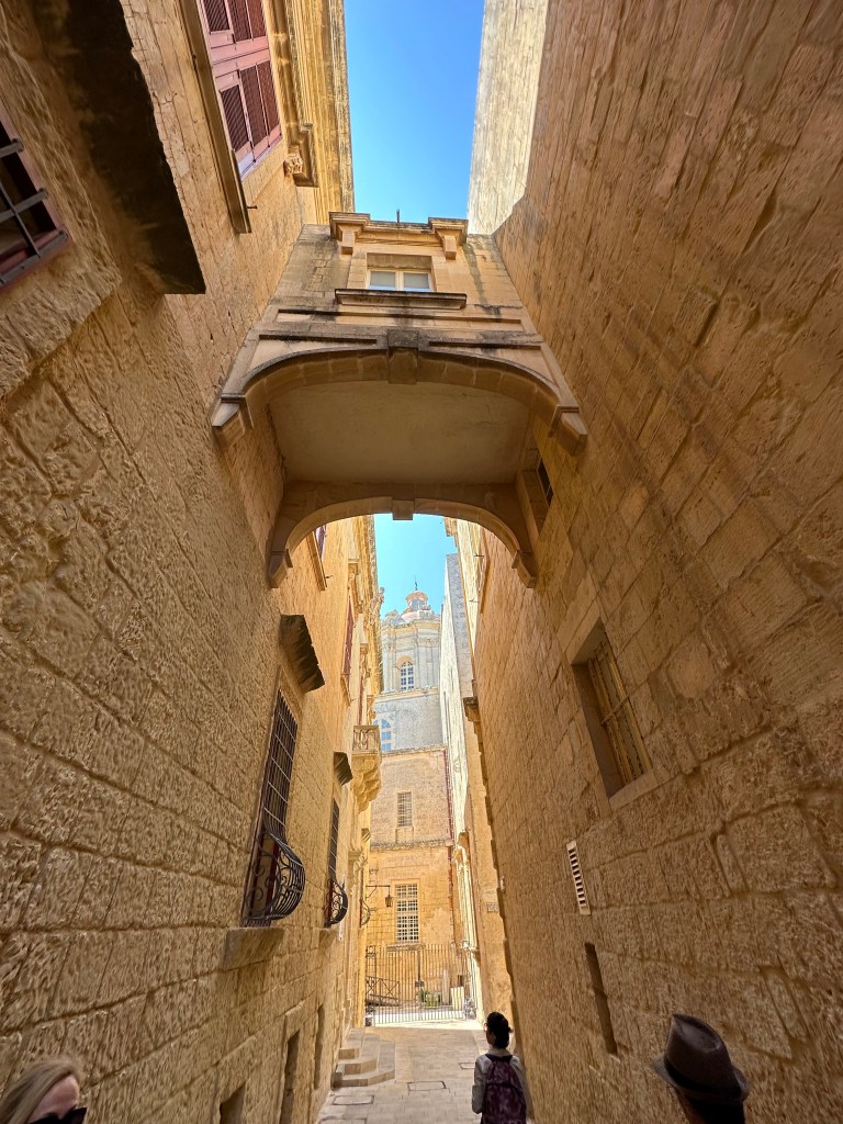
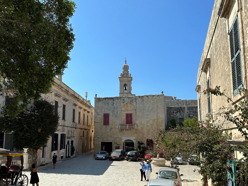
Inside Mdina proper, on the other side of the Main Gate:

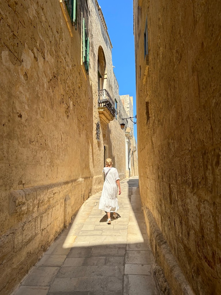
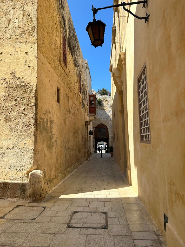
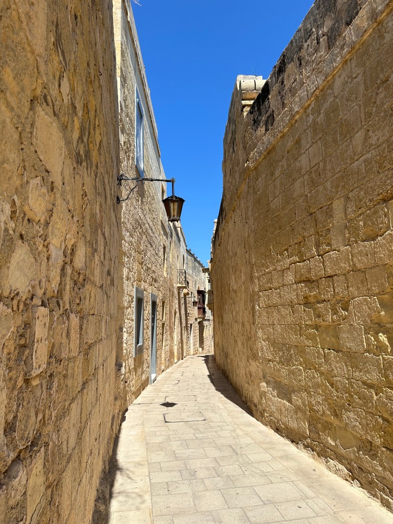
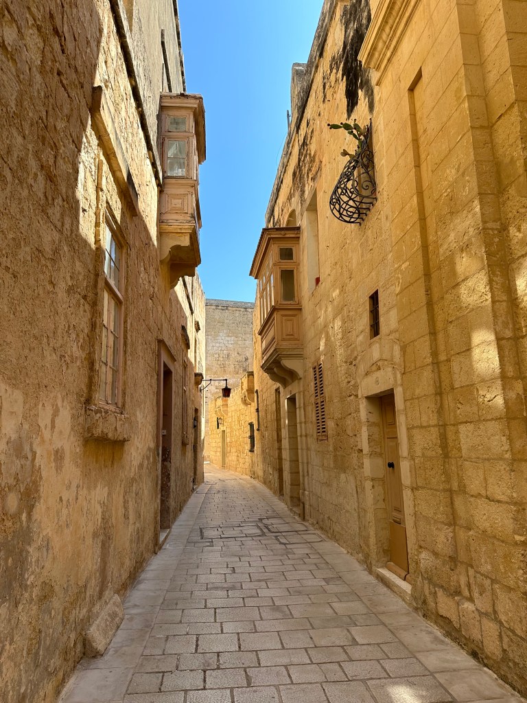
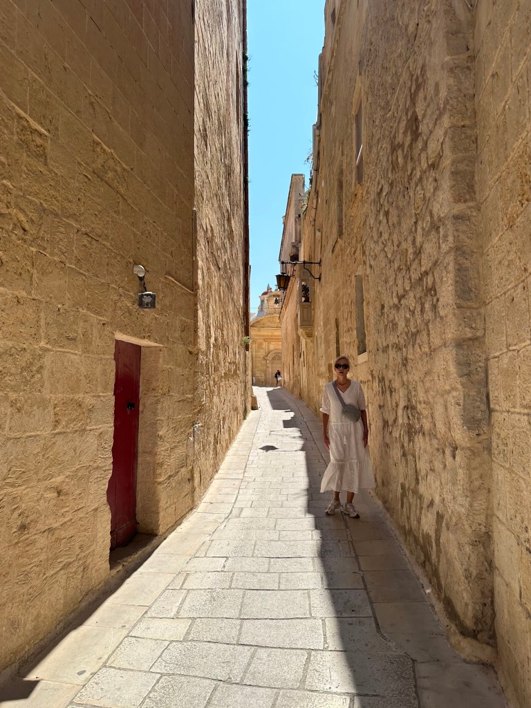
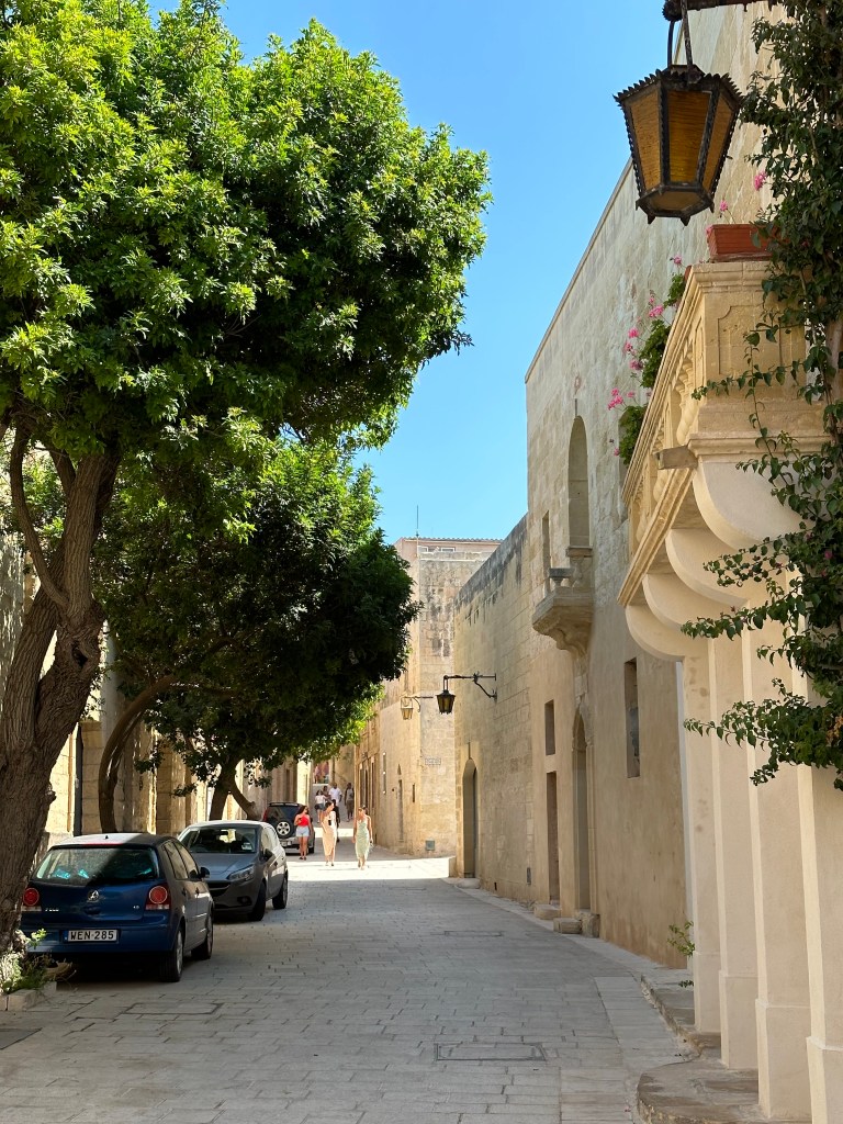
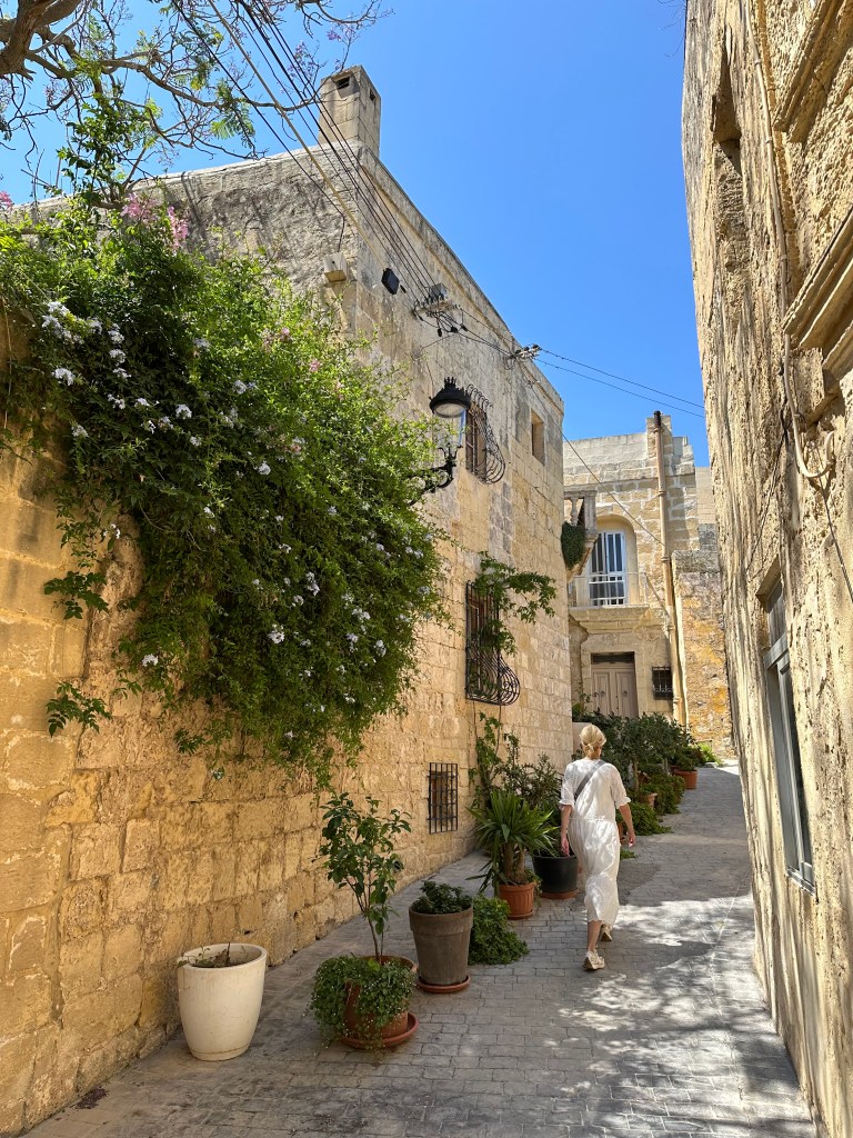
And this is what the entire town is like: sun-baked, narrow alleyways flanked by golden limestone:

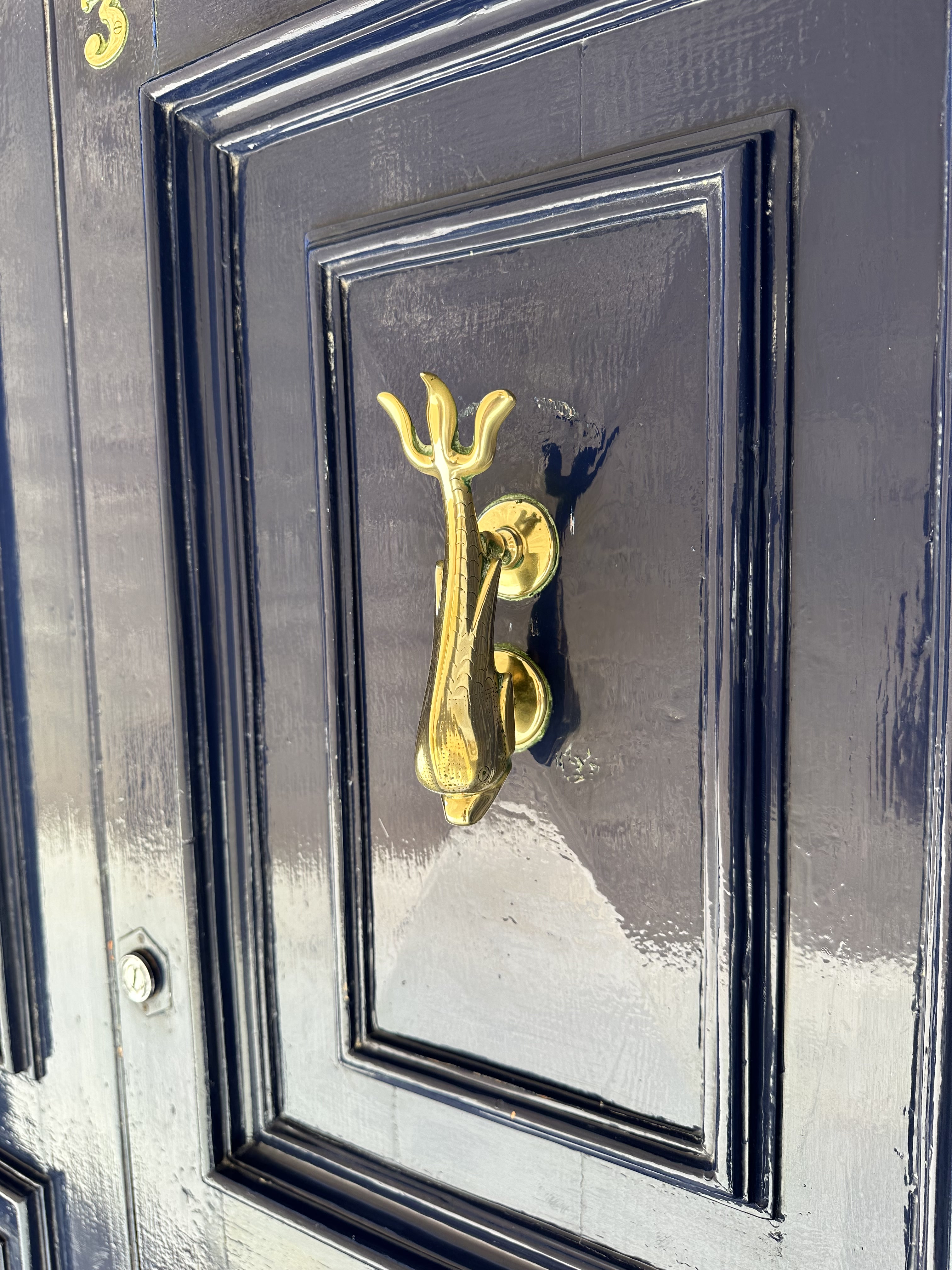
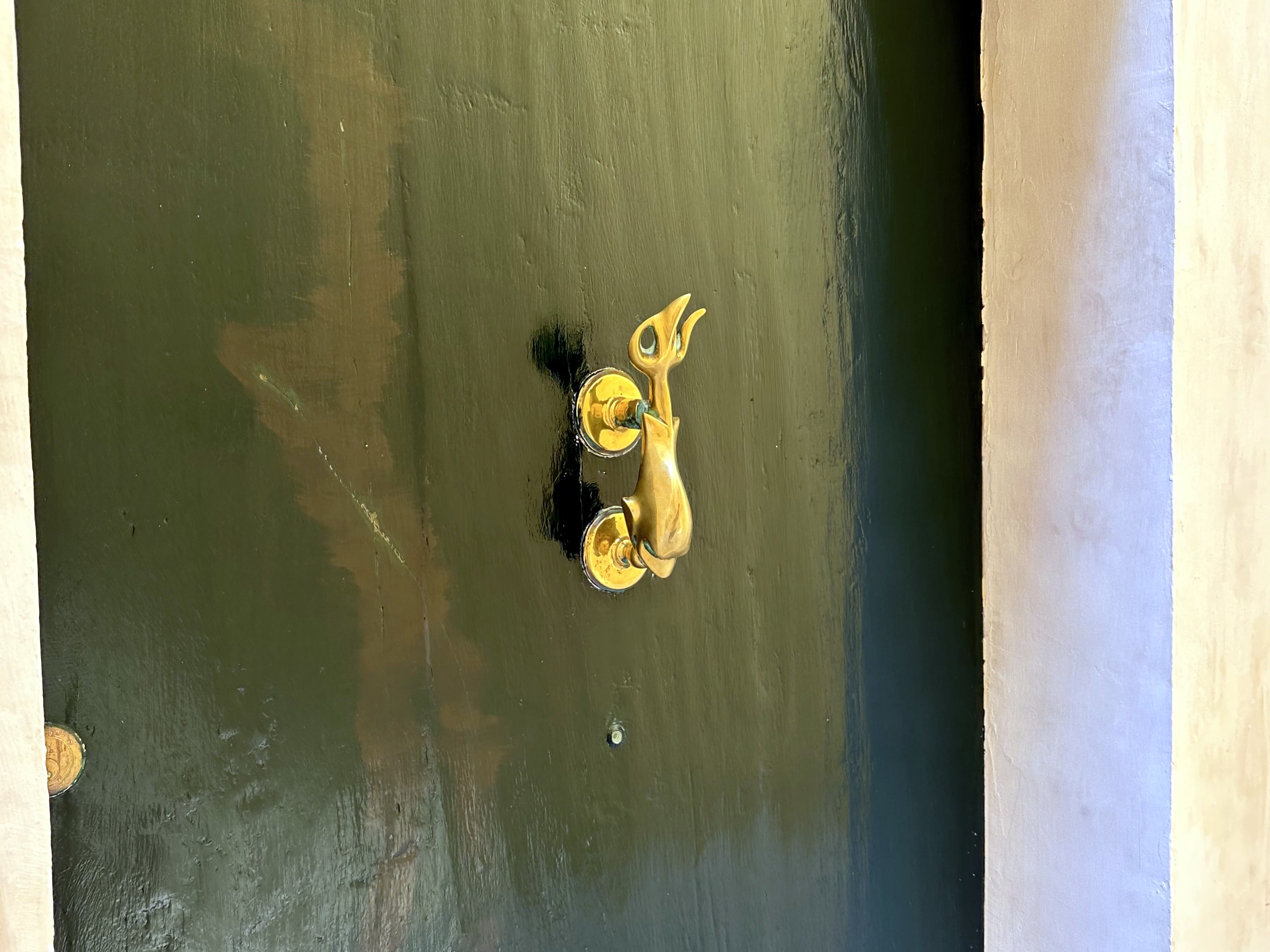
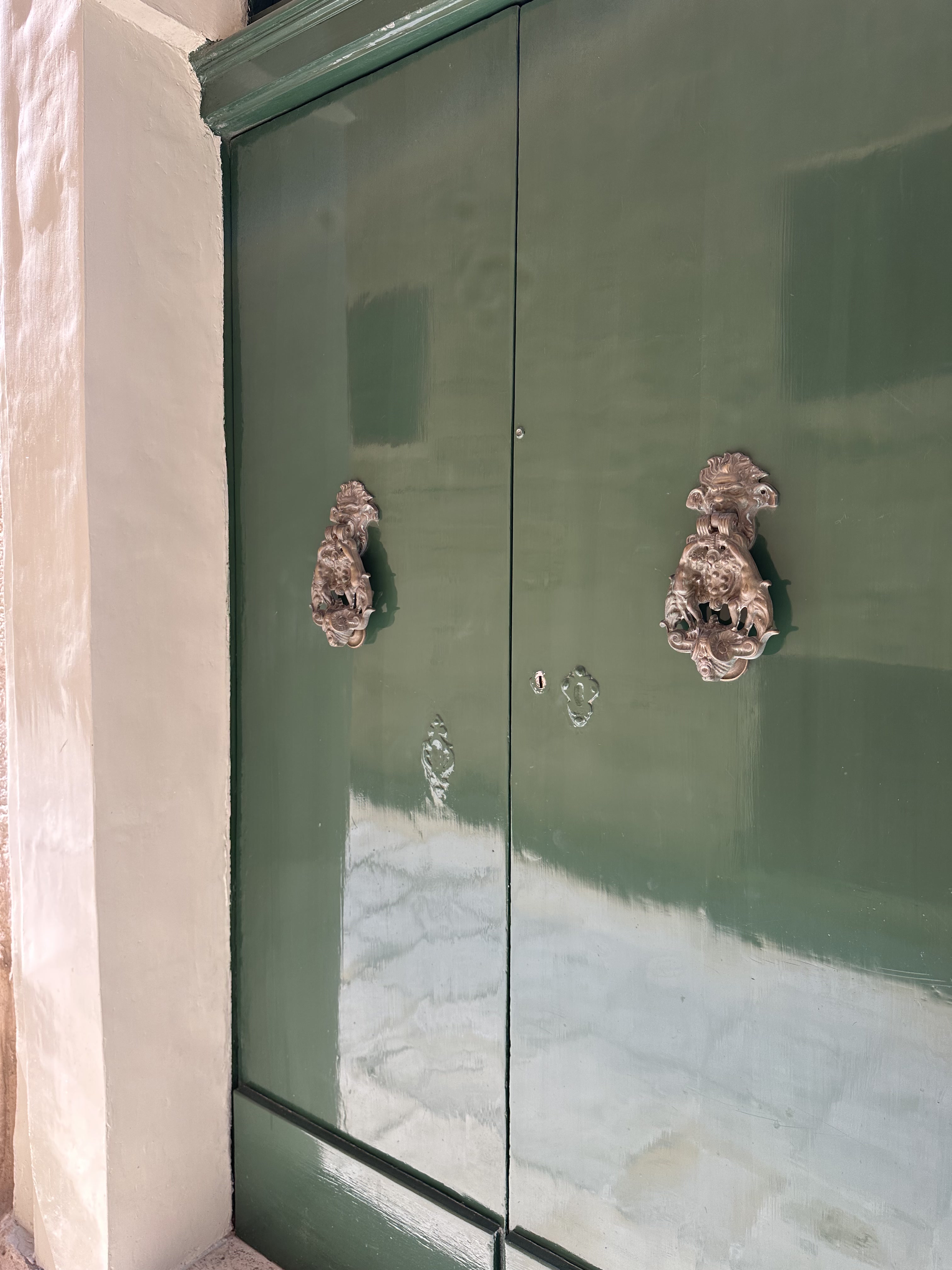
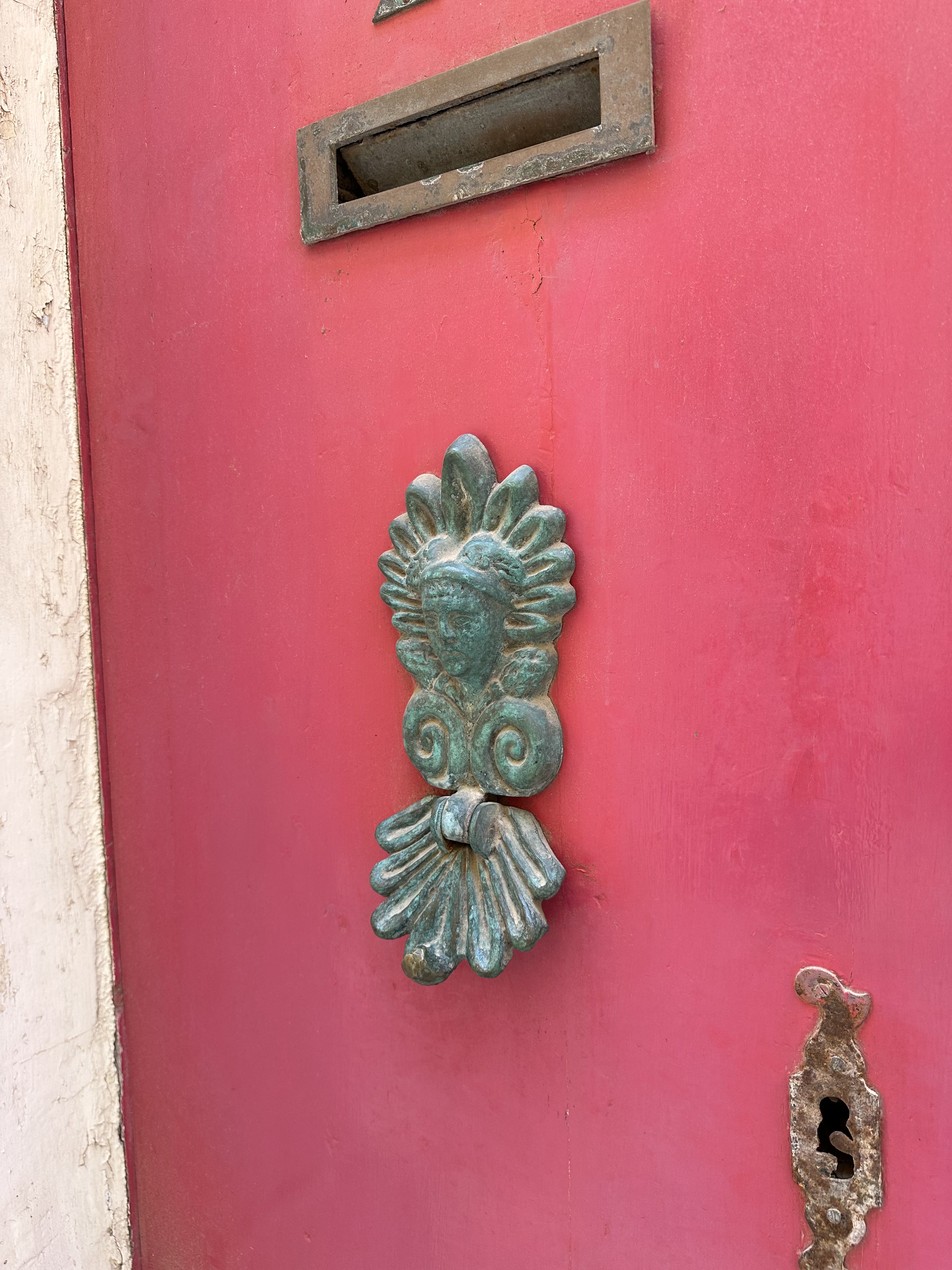
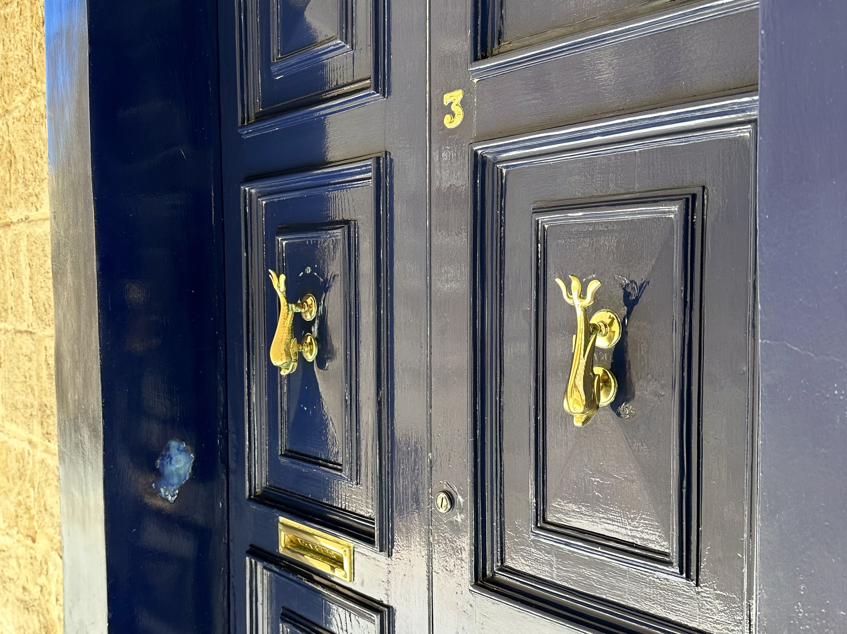
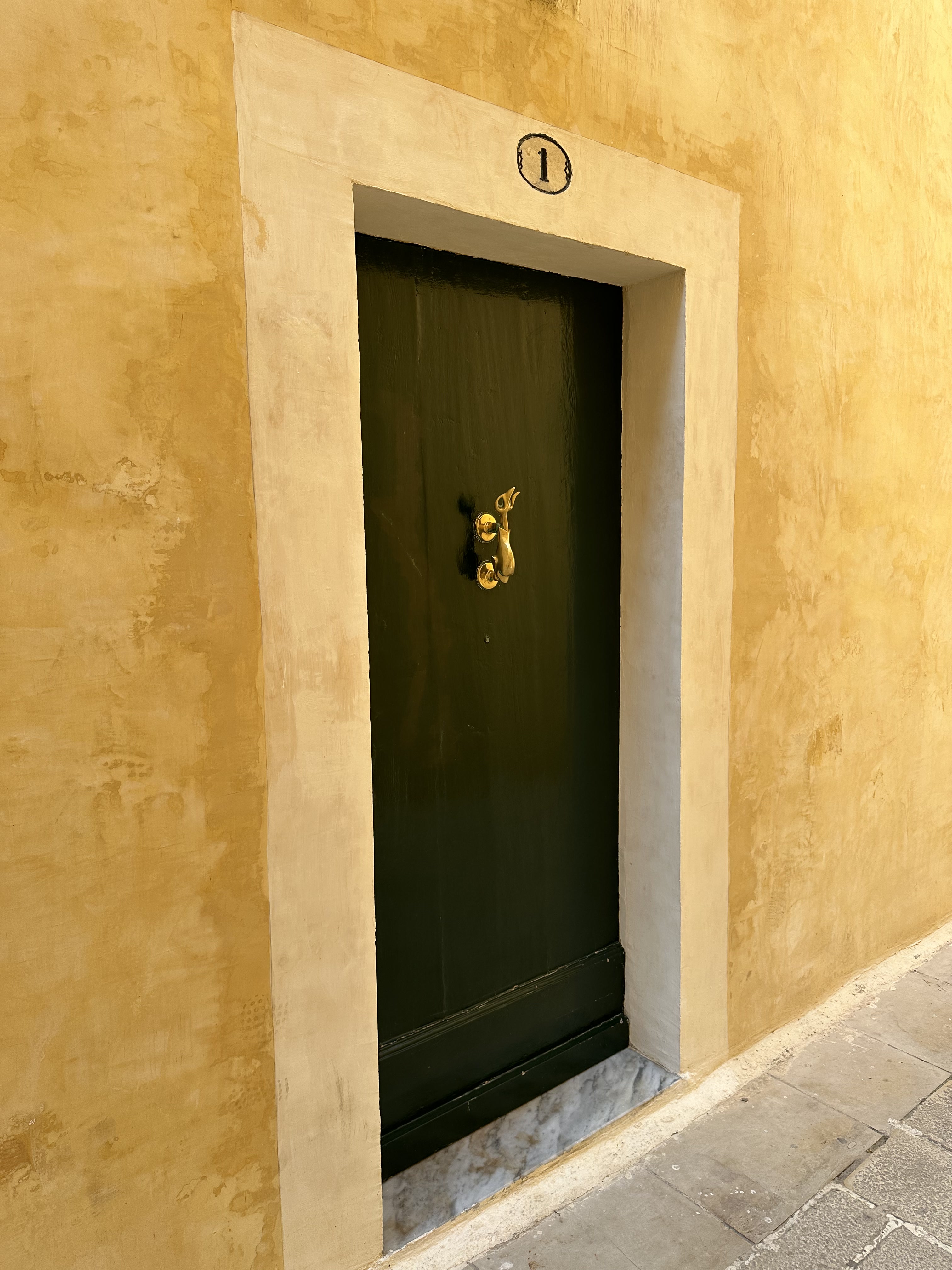
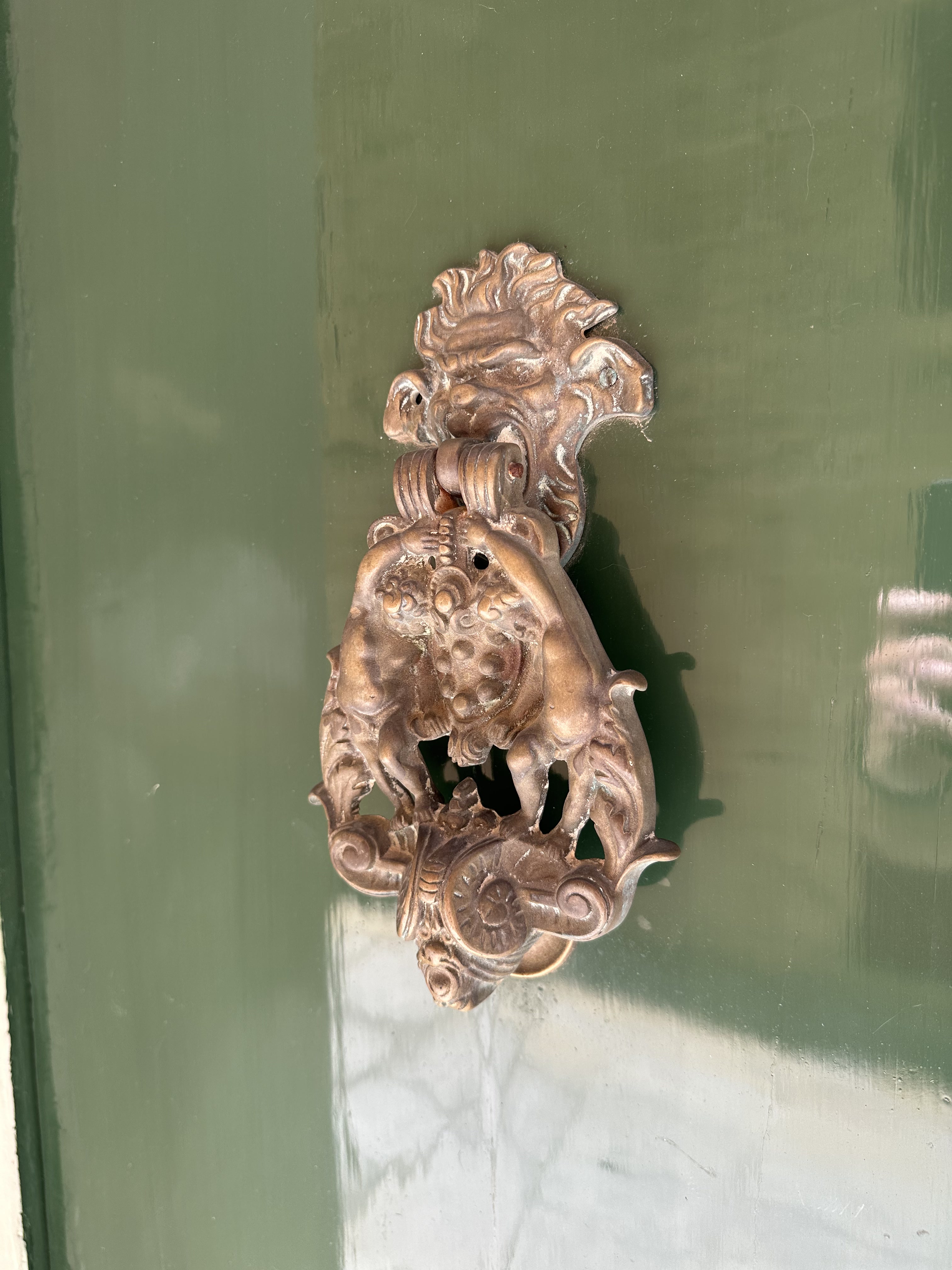
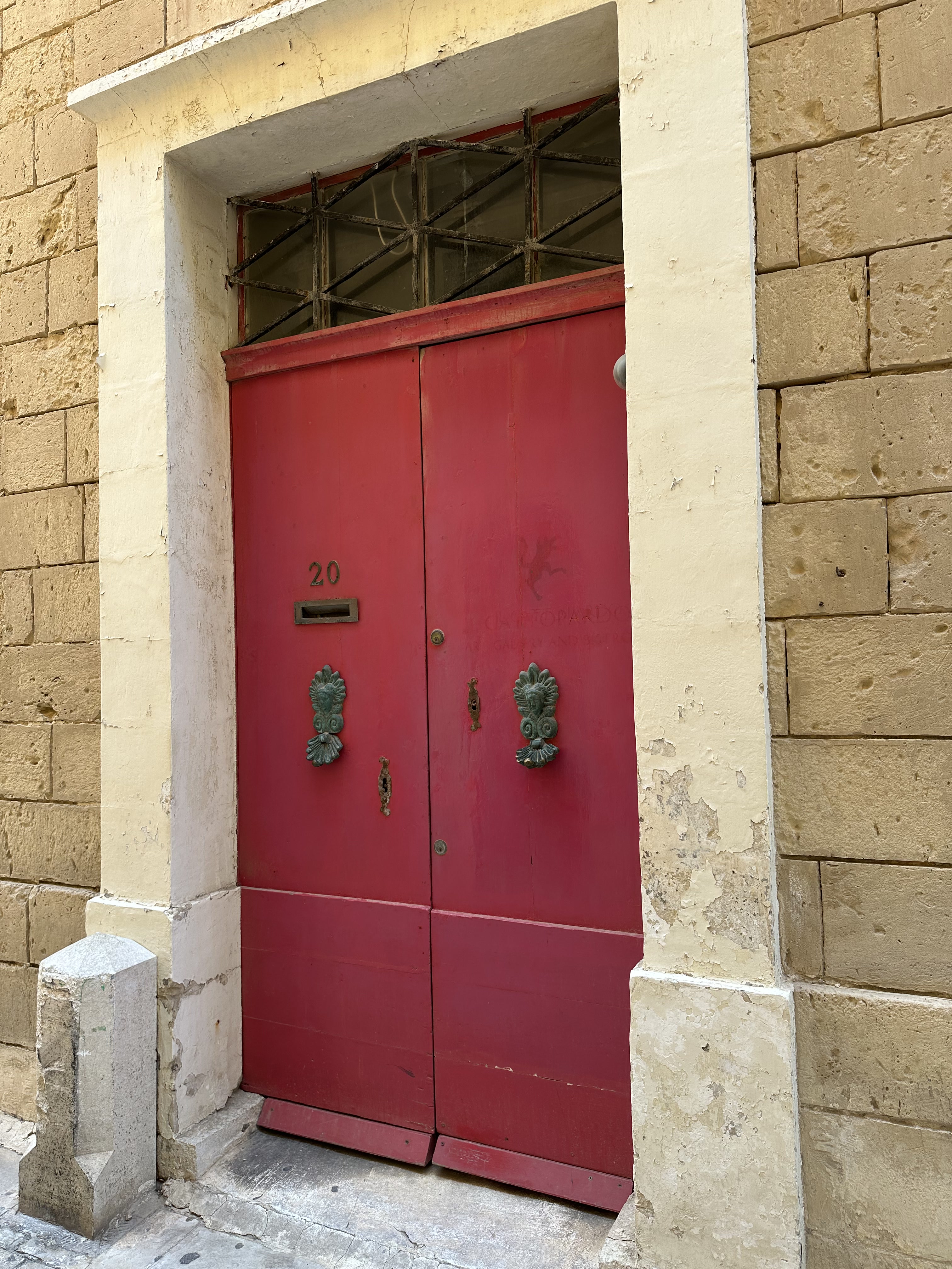
Punctuated occasionally by colorful doors and knockers:

Heading back through the Main Gate, and down the street. . .

to Rabat, the ancient suburbs of Mdina. Replete with Valletta-style gallarija.

And down the street, much to the excitement of one and definitely not the other WolfeStreetTravler, to. . .

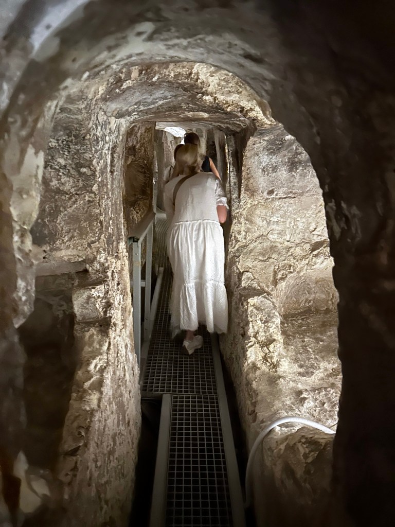
More catacombs! This will be our fourth set on this trip alone; first in Matera, then, the absolute grossest in Palermo, and TWO in Syracusa.

St. Paul’s Catacombs, located in Rabat just outside Mdina, form one of Malta’s most important ancient burial complexes, dating primarily from the Phoenician, Roman and Byzantine periods, but they continued to be actively used into the 7th or 8th century AD.

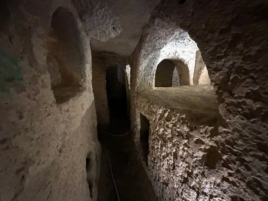
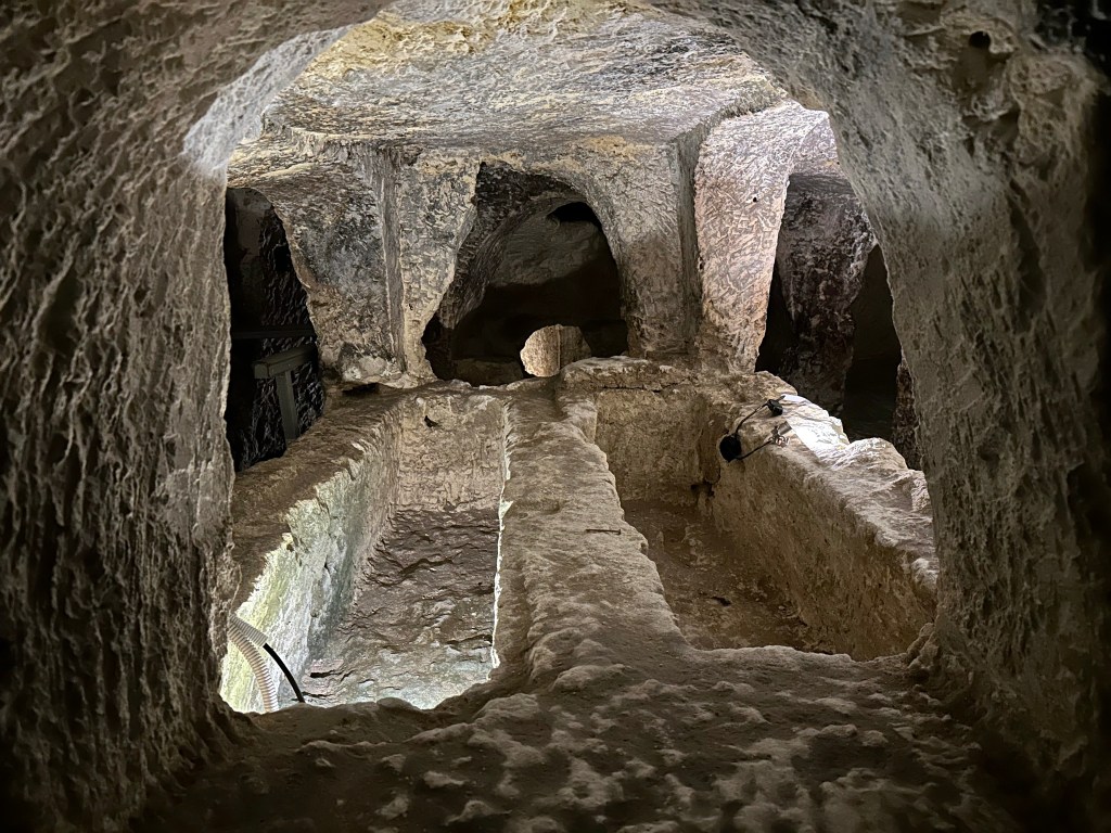
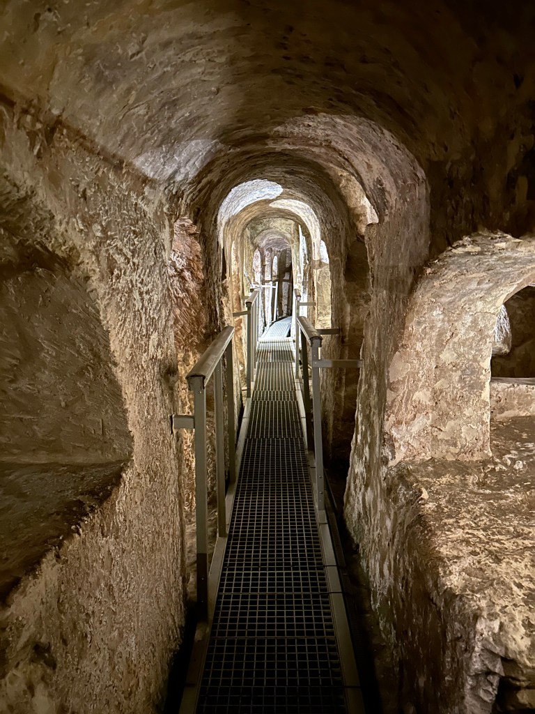
Carved into the island’s soft limestone, the underground complex contains an intricate network of burial chambers, corridors and rock-cut tombs that once formed part of a much larger cemetery outside of what was the Phoenician (and later Roman) settlement of Melite that predates Mdina and Rabat.

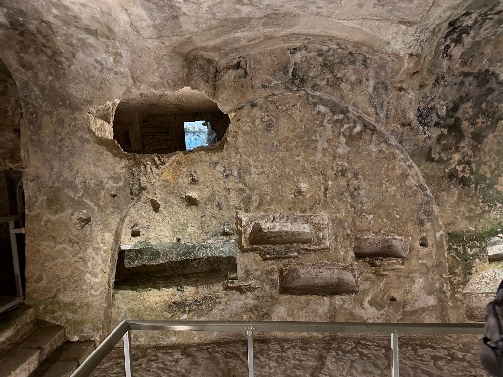
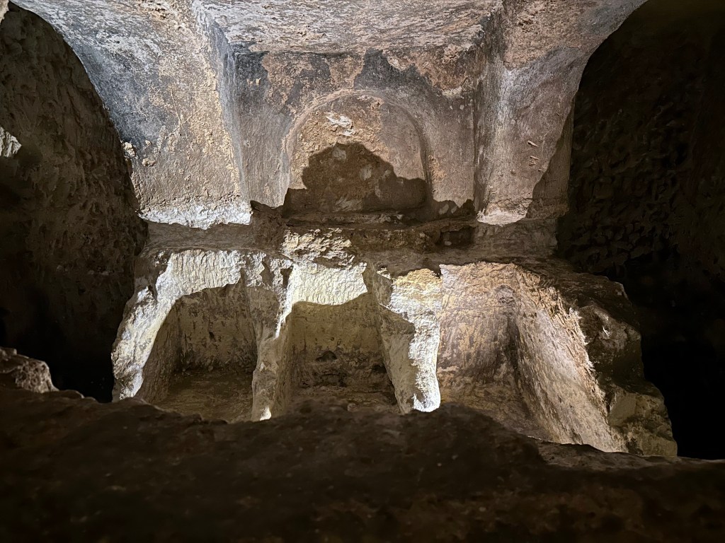
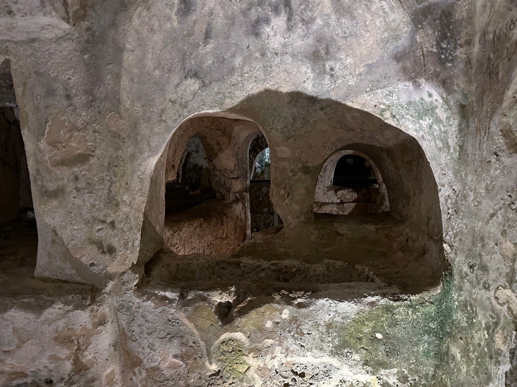
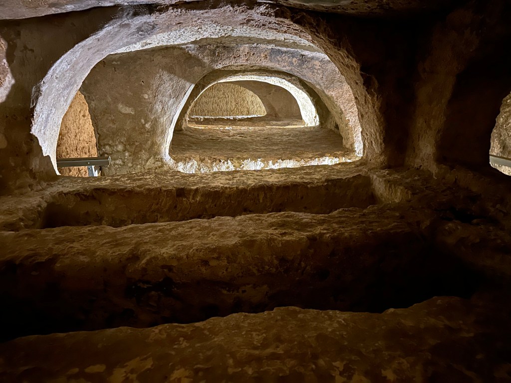
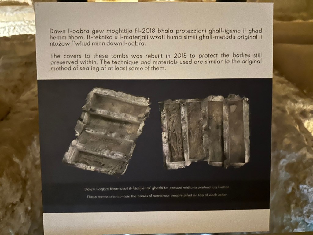
Hundreds of tombs across a complex of 24 interconnected catacombs are down here.

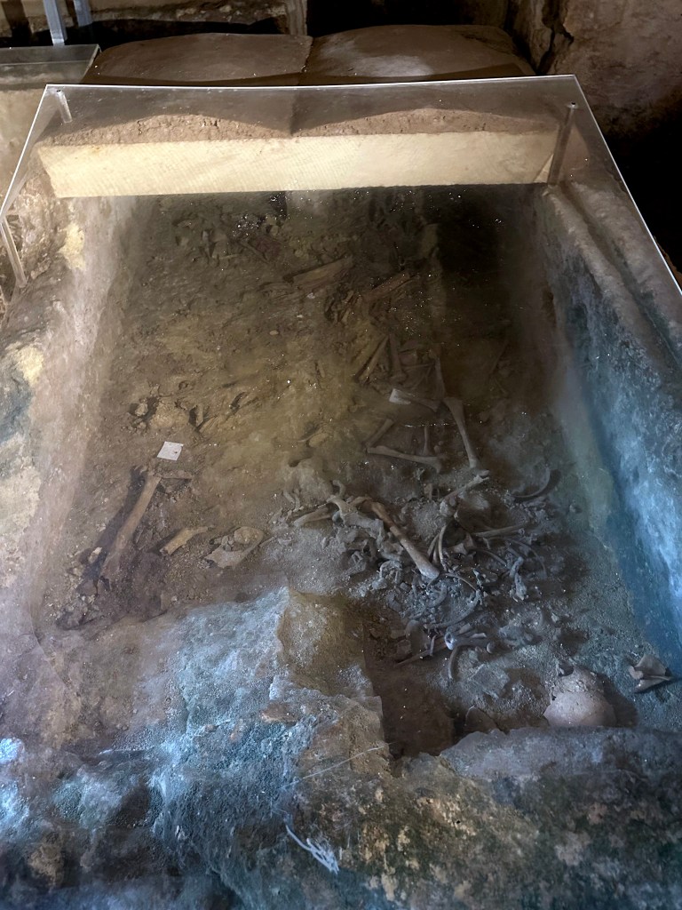
Most are now empty.

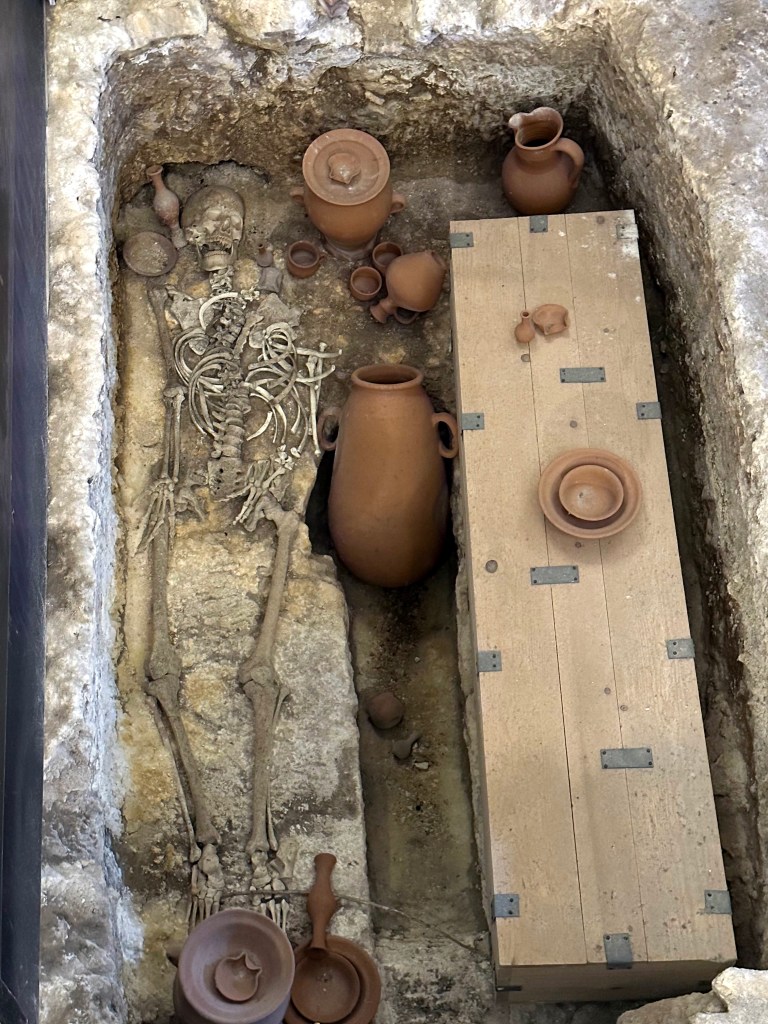
Some most certainly are not.

Every space was optimize to fit more bodies in.

Although tradition associates the catacombs with St. Paul, who was said to have been shipwrecked on Malta in AD 60, there is no archaeological evidence that he ever visited or was buried here. What makes the site especially compelling is the coexistence of pagan, Jewish and Christian burial traditions, offering a remarkable glimpse into Malta’s religious and cultural transformation during late antiquity.

Heading back out.

What to do now that we’re back in the glorious sunshine of a Maltese afternoon?

More catacombs! This time St. Agatha’s, just down the road. (This pretty much put an end to the catacomb visits; one of the WolfeStreetTravelers definitely had enough of this nonsense during the current trip, although her indulgence up until now was pretty amazing.)

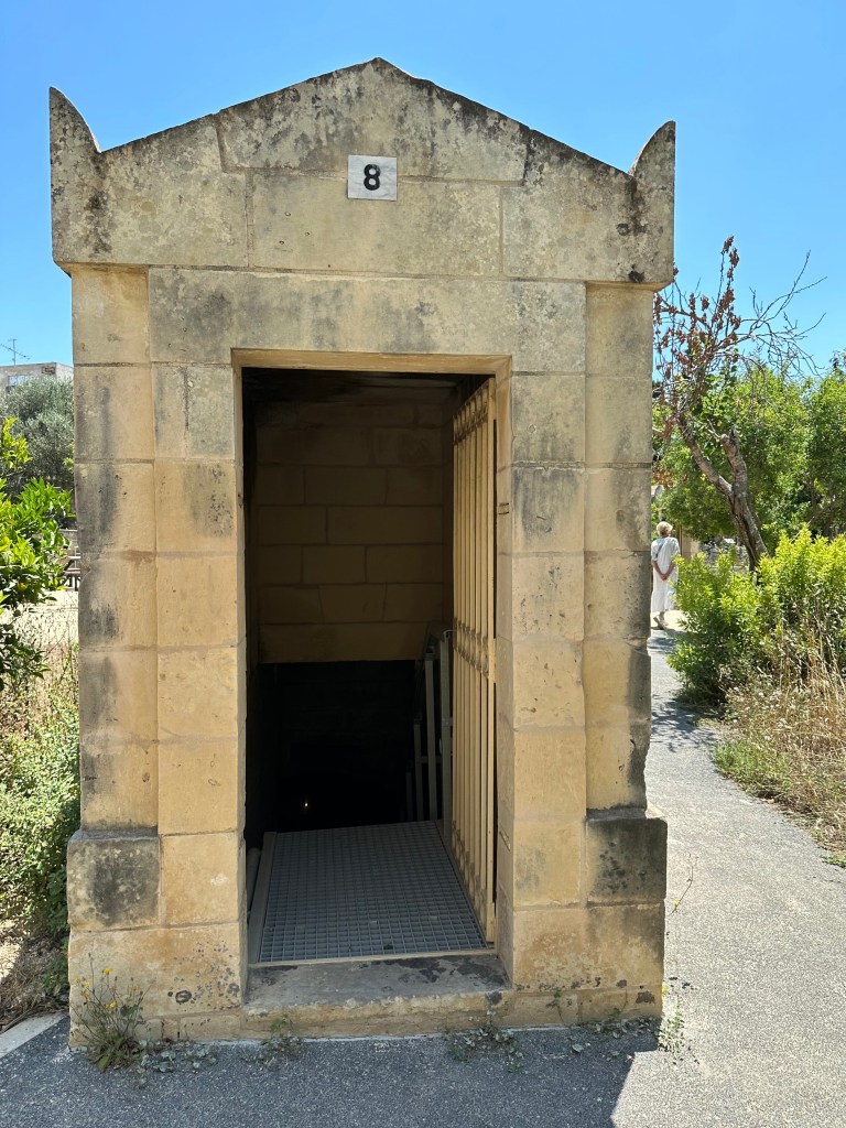
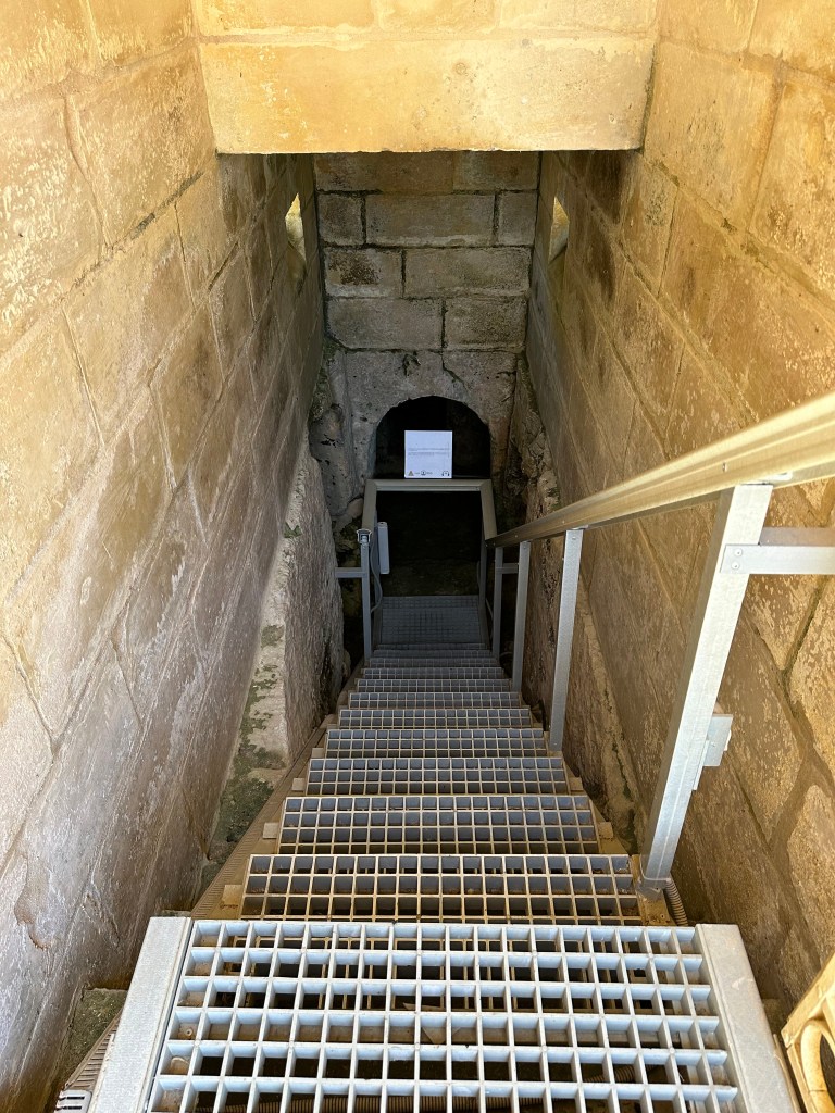
Unlike St. Paul’s, which has one central entrance, the catacomb complex at St. Agatha’s offered multiple, small individual entrances / access shafts.

Entering each catacomb was a little reminiscent of Maxwell Smart and the phone booth at the start of the show.

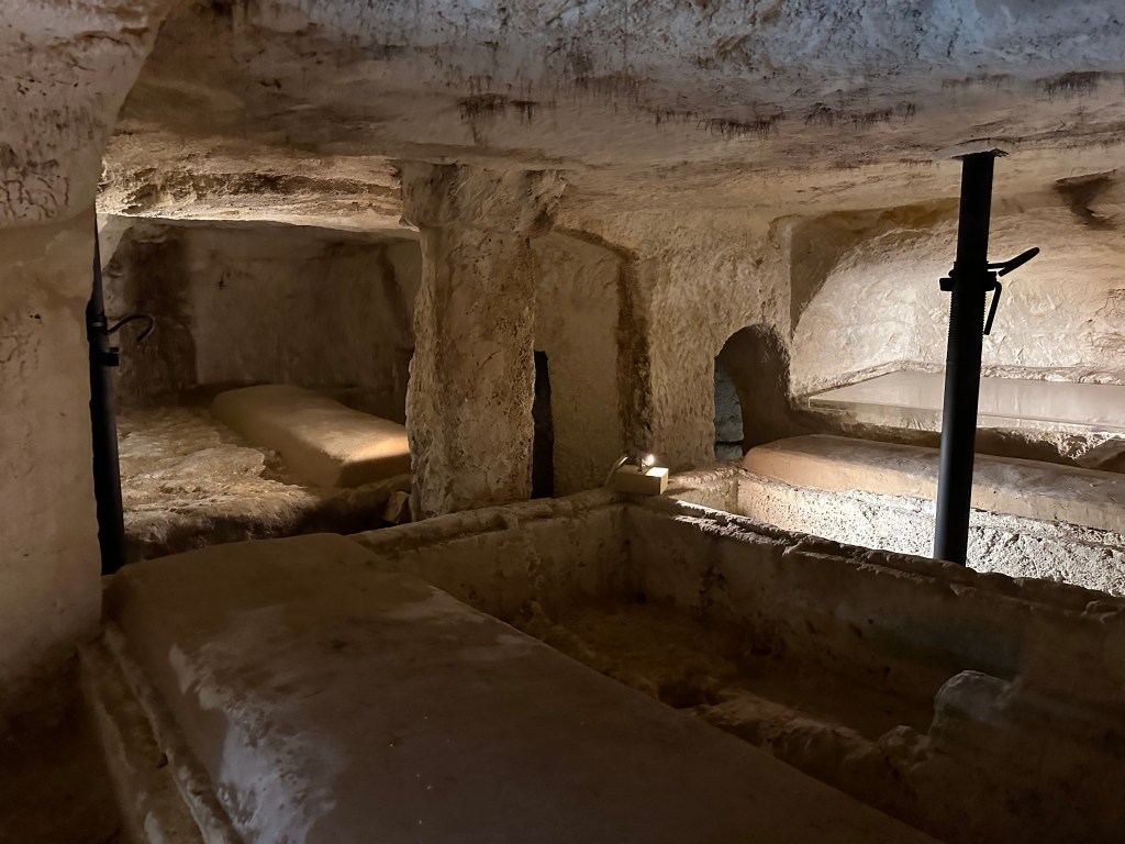
As with St. Paul’s, St. Agatha’s catacombs complex contain a mixture of Phoenician/Roman, Jewish and Christian burials.

Some of which had fresh tomb tops (not to be confused with mummy tube tops).

One of the occupants:

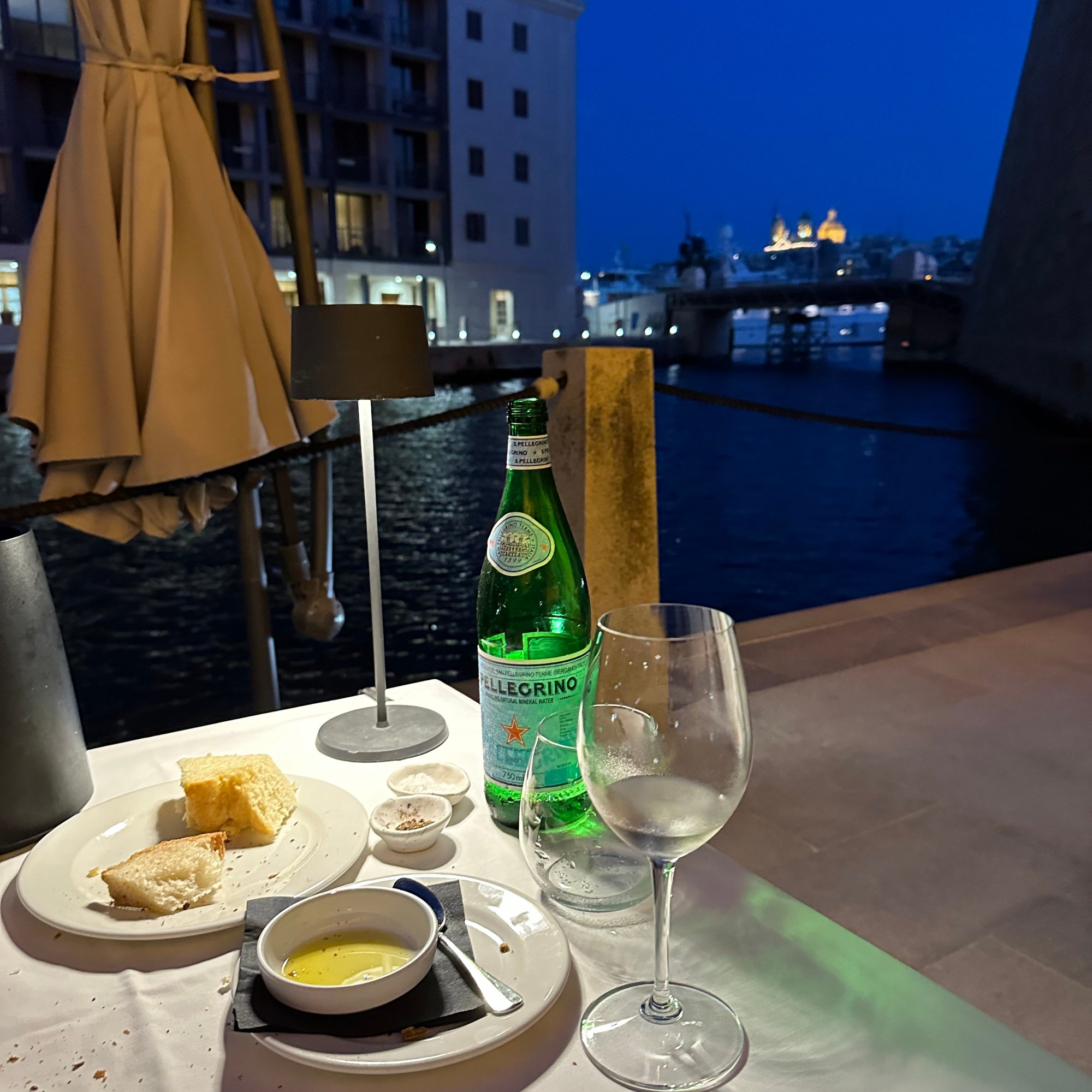
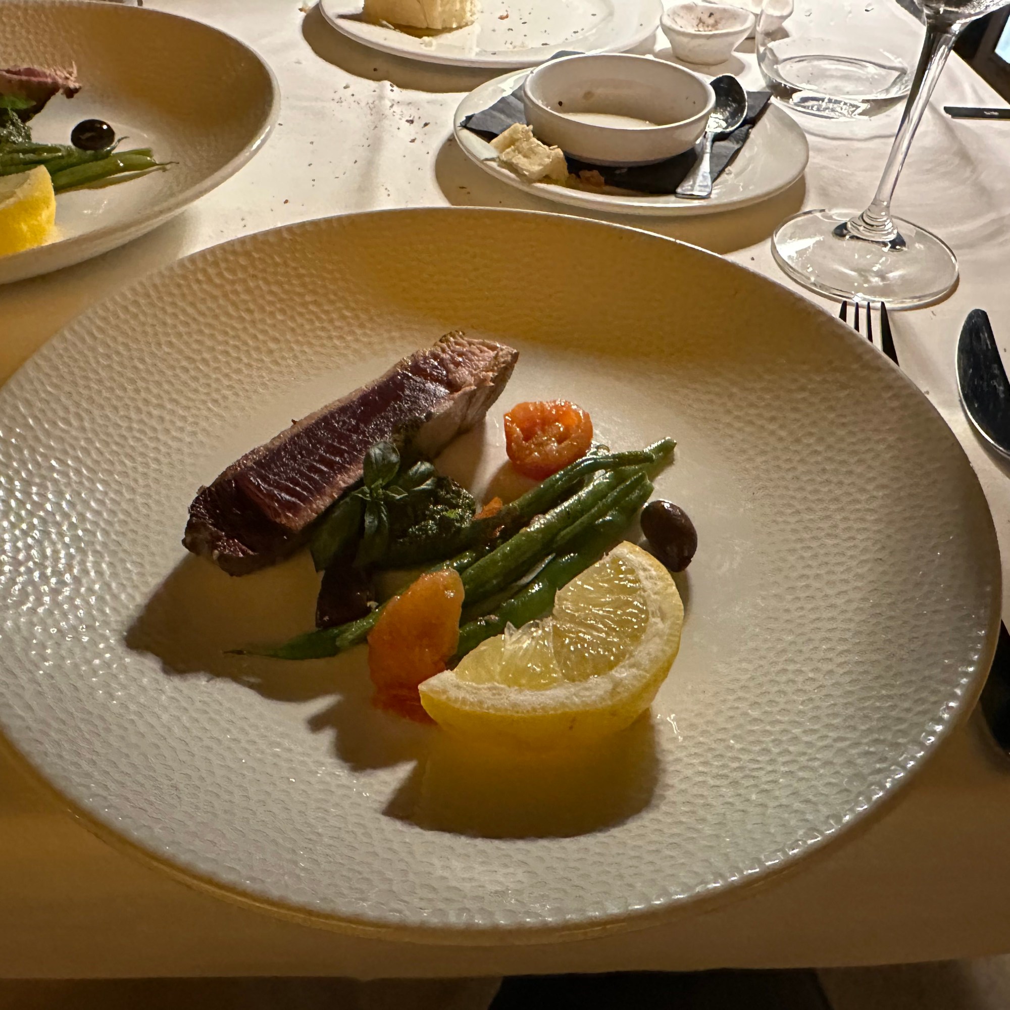
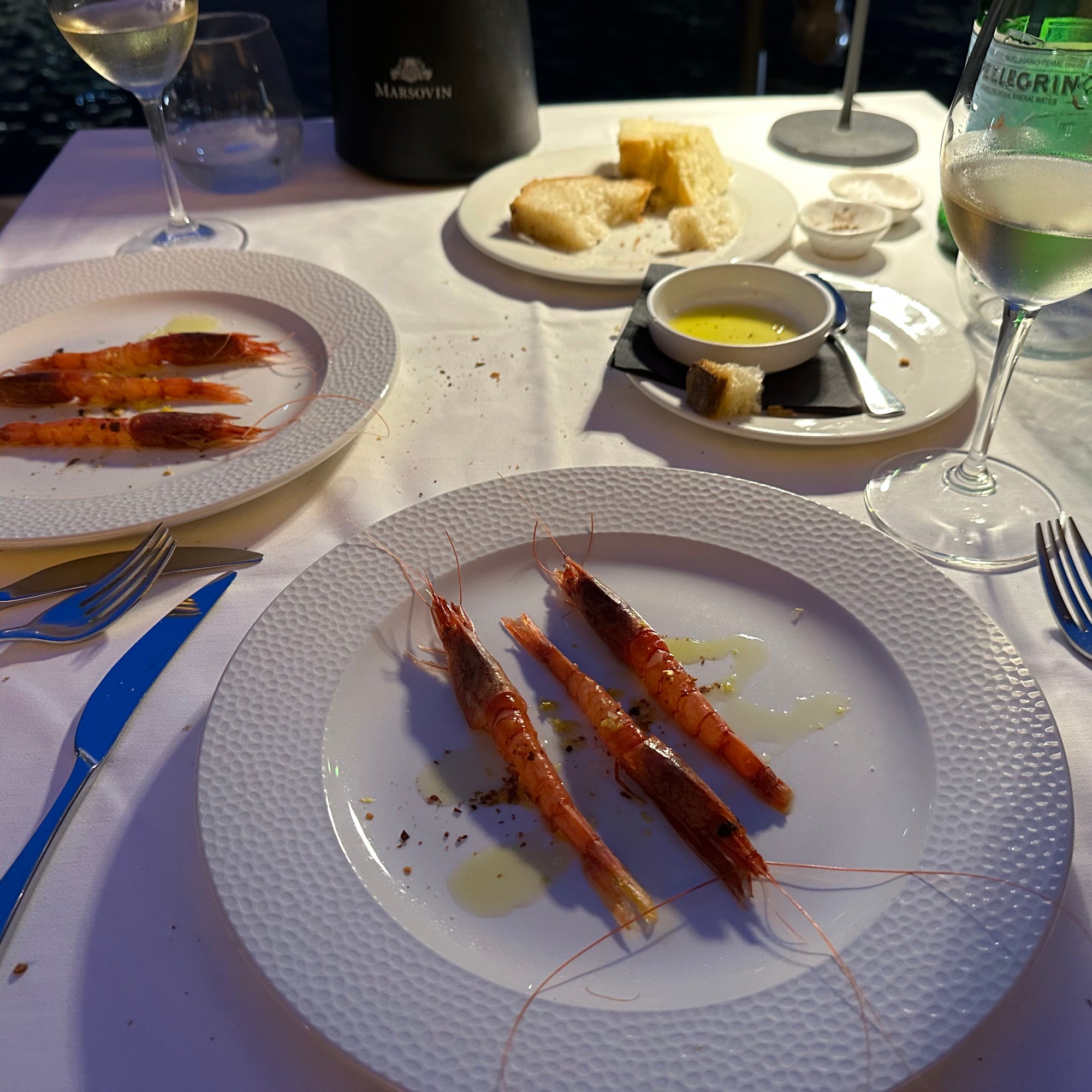
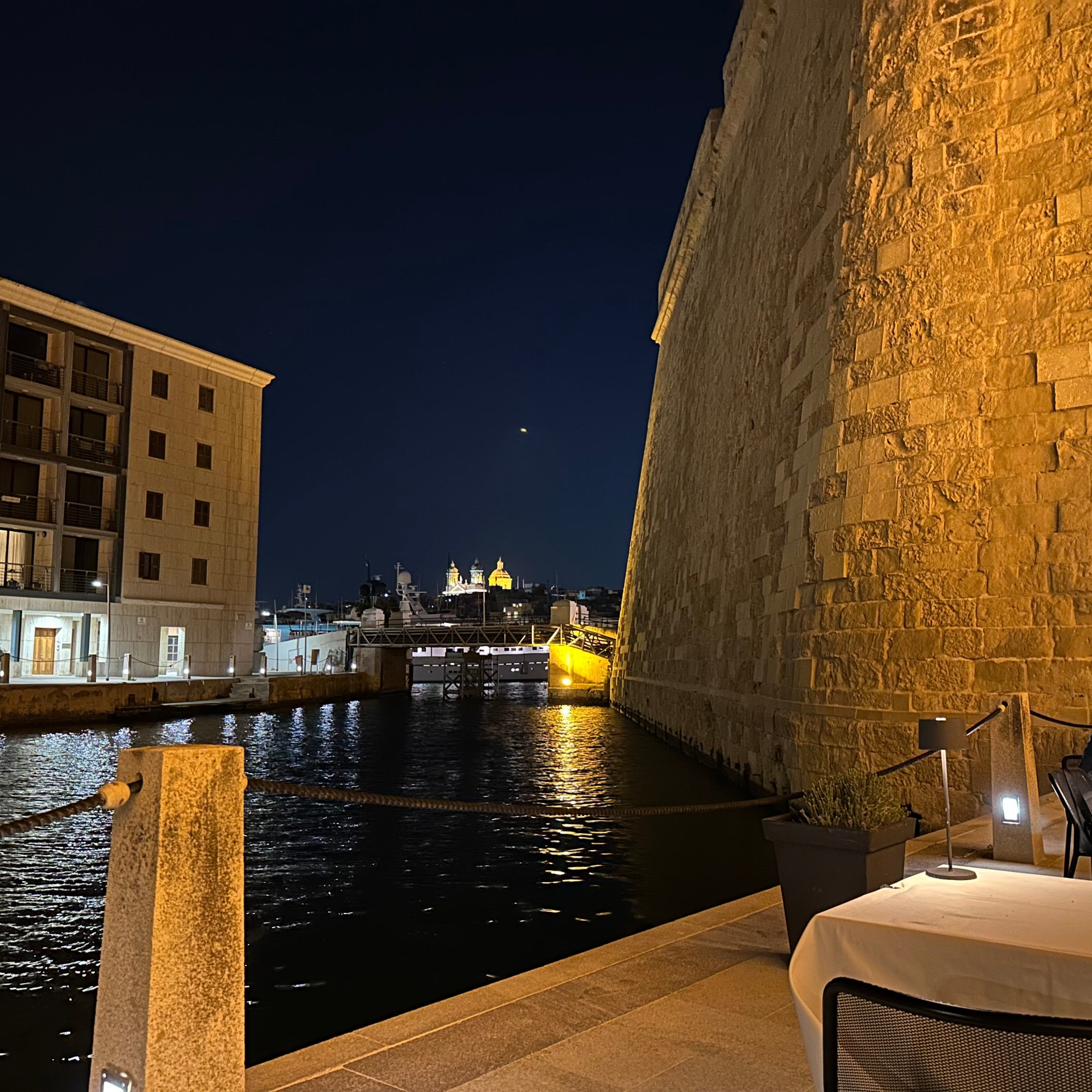
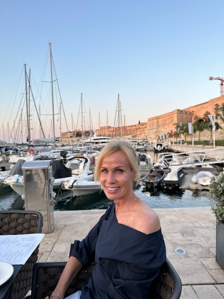
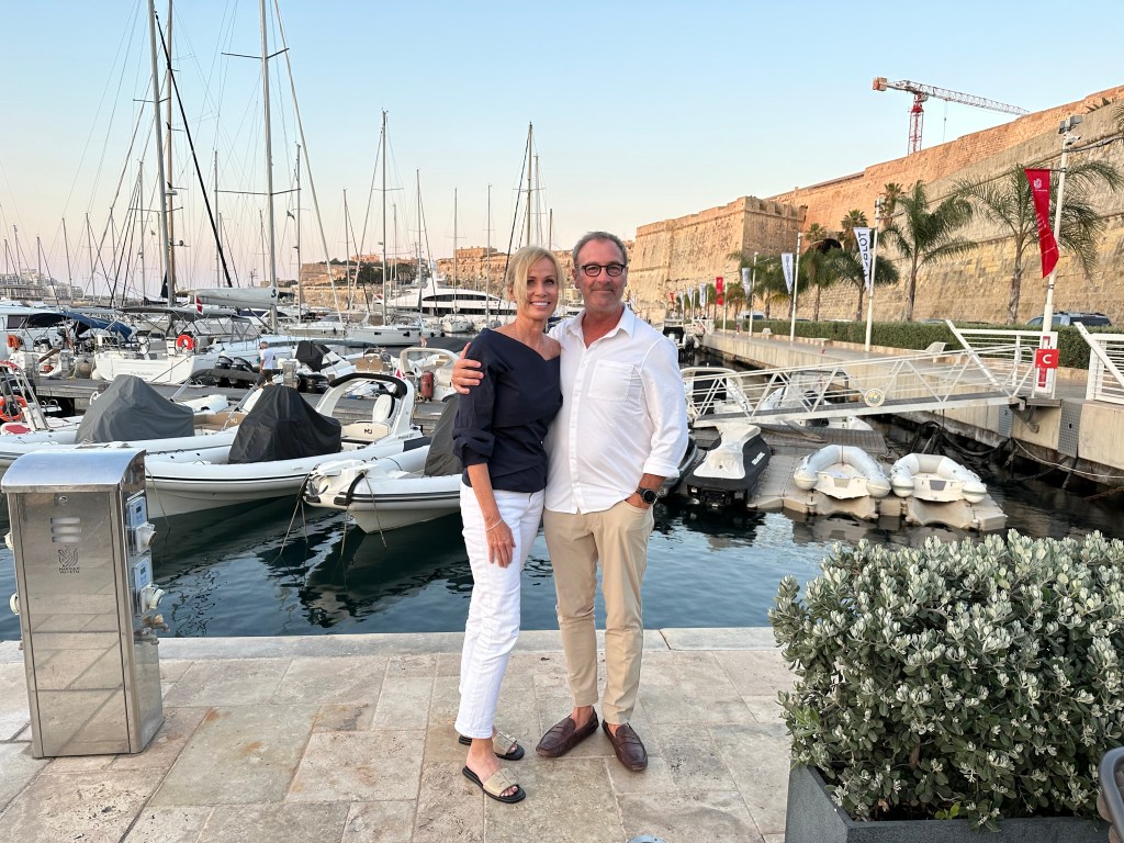
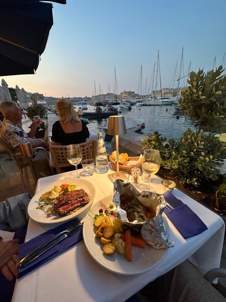
Back on Senglea and the Grand Harbor, our final dinner before heading to France for our penultimate leg. We bookended our stay on Malta by dining at the same restaurant at which we had our first, awesome lunch upon our arrival. Good call.

The experienced enhanced by these dudes rowing by in a plastic crate.

Next up: back to France!

Categories: A Prolonged Foray to Europe, Malta | Tags: , , , , , , , | 1 Comment

Cotswolds & Wales Road Trip: The Overview, for Cod’s Sake

WolfeStreetTravel is on a road trip roll. The latest – over the Memorial Day period – took us back to the UK, where previously we had only visited London a couple of times. We knew there was more to experience than just the capital, so we flew over in May, grabbed a car, and headed to points west in England, and then on to Wales.

Here’s the route for the trip, starting at the ~4:30 spot and moving counterclockwise:

After landing, we headed a couple hours’ west of London to the north end of the Cotswolds (after brief stopover in Oxford on the way out from Heathrow), then further west to Wales, into Gwynedd and Conwy County in the north and to Pembrokeshire in the south. Completing the loop, we headed east back to England and the southern and middle sections of the Cotswolds. Then, ultimately, back to London, once more.

Three themes drove planning for this circular road trip:

1. Visiting the villages of the Cotswolds in England:

In the interactive map above, the amber houses icons denote the Cotswolds villages we visited.

2. Laying siege to the largest and best-preserved medieval Norman castles in the world – all located in Wales, largely thanks to Edward I:

The black castle icons on the interactive map above denote the Welsh castles we attacked.

3. Finally, throughout the 16-day trip, we took advantage of the UK’s amazing National Trails system, which transit in and out of farms and fields and along the most amazing oceanside cliffs, and hiked everywhere we could:

The green hiker icons on the map above denote the hiking locations in England and Wales.

Similar to the morning of our arrival in the Netherlands for our bike trip there, we hit the ground running in London. Immediately after deplaning in Heathrow, we picked up our rental car (manual, with the steering wheel on the wrong side, of course, increasing the difficulty level of driving to 11), drove an hour to Oxford, and hopped on bikes for a 2-hour tour of the city and surrounding countryside. Excellent plan (other than the fact that it didn’t go as planned, which we’ll explain in a future post)!

Then, on to our first segment of the Cotswolds. We based ourselves out of Broadway, in the northern end of the region:

Although we didn’t know it when we planned the trip months ago, we would be there during Queen Elizabeth II’s Platinum Jubilee, so every town was totally decked out for the occasion, including Broadway:

(While we experienced the provincial celebrations out in the hinterlands of small villages, our relatives, the Band o’ Brandts, were in the thick of it in London at the same time, at the peak of the jubilee.)

More jumbles of jubilee at Bourton-on-the-Water, our second Cotswolds village:

A little hiking across the countryside around Broadway and then to the iconic Victorian folly of the area, Broadway Tower:

And a post-hike lunch in town of our first (of many – many!) fish and chips on the trip during the jubilee – Cod Save the Queen!

The wool market capital of the northern Cotswolds, Chipping Campden:

The winner of the most charming village of our trip, Stanton:

And nearby Snowshill, repleat with traditional British phone box and village pub:

The paired villages with grisly names but tons of charm – Lower Slaughter:

And Upper Slaughter:

A spectacular hike from the town of Winchcombe to the Neolithic barrow at Belas Knap the day before we moved on to Wales:

And then lunch. Cod works in mysterious ways. . .

A stopover at Palé Hall for a change of venue before hitting our first Welsh castle in Gwynedd:

The first stop on WolfeStreetTravel’s 2022 Welsh Castlepalooza Tour, and the epitome of Norman military engineering: Harlech Castle, built by the English as part of Edward I’s campaign to subdue the Welsh:

Then a beeline north to Caernarfon Castle, the center of Edward I’s “ring of iron” and birthplace of Edward II, the first Prince of Wales:

And to our third abode, where you needed to traverse a guardian garrison of lambs to enter:

Our base in Conwy and another vaguely unsettling name – Bodysgallen Hall:

Our favorite castle on the trip: Conwy Castle, which abutted the adjacent village of Conwy, with its fully intact medieval town wall:

A hike up to and around the treeless limestone mass of Great Orme on the north coast of Wales with great 360-degree views, including the town at its base, Llandudno:

And a post-hike lunch in town: the best fish and chips of the trip and a celebration in Wales of “One Nation under Cod!”

Not satisfied with visiting castles, we had to stay in one too, when we headed south to Pembrokeshire: the 12th-century Roch Castle:

Spectacular hike along the entire periphery of St. Annes Head on the Pembrokeshire coast:

The weirdly sited St. David’s Cathedral, sunk in a depression so low, you can’t see the cathedral tower from anywhere in town:

And then to a lunch of. . . oh my Cod! Again?!

The penultimate castle on the WolfeStreetTravel 2022 Castlepalooza tour: Pembroke Castle, home in the 12th century to William Marshal, “the best knight that ever lived:”

And the final fortification (thanks be to Cod!): Caerphilly Castle just north of Cardiff, on our way to Bath in the southern Cotswolds:

The Roman, then Georgian, Baths of Bath:

An unplanned but really enjoyable stop at Stonehenge on the way from Bath to our last stay in the Cotswolds:

The ridiculously Thomas Kinkade-y village of Bibury:

And another sheep-intense hike between the tiny villages of Southrop and Eastleach:

Our last base in the Cotswolds: a village within a village (and a Cotswold cottage of our own, to boot):

After 2 solid weeks on the road in our trusty Peugeot, we returned the car that served us so well during the trip before we headed into London proper. Between the manual transmission, the steering wheel on the wrong side, and having to drive for 2 weeks on the wrong side of the road, this baby was a true Danger Chariot.

In London, we probably put in around the same mileage walking around each day as we did on each of our Cotswold and Wales walks, including logging a lot of miles transiting Hyde Park and Kensington Gardens, below:

And as a counterpoint to the Welsh castles, we paid a quick visit to the British Museum solely for their Anglo Saxon collection from the Sutton Hoo, including the iconic helmet from the burial mound:

And then, only 36 hours before we were set to fly back and maybe 10 hours before we were going to get tested, the US announced the end of the COVID testing requirements to re-enter the US. Perfect timing!

We’ll be posting overdue stuff from last fall’s Cinque Terre and Return to Tuscany road trip next, and will follow up with Cotswolds and castles posts after.

So help us Cod.

Categories: England, The Cotswolds and Wales, Wales | Tags: , , , , , , , , , , , , , , , , , , , , , , , , , , , , , , , , | Leave a comment

Protected: Cotswolds & Wales Road Trip: Bourton-on-the-Water

This content is password-protected. To view it, please enter the password below.

Categories: England, The Cotswolds and Wales | Enter your password to view comments.

Protected: Cotswolds & Wales Road Trip: Broadway

This content is password-protected. To view it, please enter the password below.

Categories: England, The Cotswolds and Wales | Enter your password to view comments.

Cotswolds & Wales Road Trip: Chipping Campden

The Cotswolds towns owe their picturesque and well-preserved quality to sheep. Until the introduction of cotton into markets, wool and linen were the primary textiles for clothing for most people. And in the middle ages, the best wool came from England, and the best wool in England came from the Cotswolds due to the fine quality produced by the specific variety of sheep unique to the region. “Even the name Cotswolds is thought to be derived from sheep. “Cots” means sheep enclosure and “wolds” are the gentle hills.” (From here.)

The premium price for Cotswolds wool was such that merchants in the region’s towns could afford moderate to grand houses made of the local, honey-colored limestone. And fund “wool churches” that were more substantial and ornate than churches in similar-sized towns elsewhere in the country.

But then, starting in the 1600s, cotton from colonies established by the British, Dutch, and French East India Companies became more practical and more fashionable than wool, and the wealth of the Cotswolds towns declined precipitously. As a result, the towns lost their wealth and became backwaters and this backwater status preserved the honey limestone houses, manors, town halls, and churches that may otherwise have been changed or built over to fit new architectural styles or building methods over the subsequent several centuries.

As tourism became a thing in the 19th century, the bucolic Cotswolds countryside and its preserved and picturesque towns became popular destinations, and the region gradually developed an economy based on tourism and experienced a rebirth (culminating, of course, in the visit by WolfeStreetTravel). The wealth is back, but it’s just not from wool anymore.

On our first full day in the Cotswolds, we drove about 10 min from Broadway to Chipping Campden, where characteristic Cotswolds charm was exemplified in fine fashion. Considered the “jewel in the crown of the Cotswolds” (no doubt only by the Chipping Campden Chamber of Commerce), the town has served as a wool market since the 15th century, and is famous for its High Street.

Center of town on High Street:

The town’s still-operating, 1627 Market Hall commissioned by Sir Baptist Hicks, who will continue to pop up as we poked about town.

In the Market Hall, you can buy your sheep and sheep accessories from the Cotswolds version of Hank Hill.

Scenes around town:

What’s behind the hedge:

Bulls eye window on one of the houses.

“In mediaeval times the way window glass was made was similar to blowing. A blob of molten glass was picked up on a pontil, and spun rapidly to form a disk. The flatter, outer, bits of glass were used for fine windows, the bit in the middle would be remelted for the next try. Sometimes the bit in the middle was not remelted, but sold off cheap for low status buildings. These often went into front doors, to admit light, but not give a clear view into the house.” (From here.)

The town’s wool church, the Church of St. James:

Built in the 16th century, but incorporating the elements of a Norman church that dates from 1180:

The elaborate tomb of Sir Baptist Hicks – his second appearance – and his wife.

And “a memorial to Lady Penelope Noel who died of blood poisoning as a result of pricking her finger whilst sewing.” For reals.

The town’s almshouses just down the street from the church, built in 1612 by Sir Baptist Hicks (of course).

The town’s cool Eight Bells pub.

Back on High Street to head to the car and on to our next town:

Categories: England, The Cotswolds and Wales | Leave a comment

Protected: Cotswolds & Wales Road Trip: Stanton

This content is password-protected. To view it, please enter the password below.

Categories: England, The Cotswolds and Wales | Enter your password to view comments.

Protected: Cotswolds & Wales Road Trip: Barrow Hike and Stow-on-the-Wold

This content is password-protected. To view it, please enter the password below.

Categories: England, The Cotswolds and Wales | Enter your password to view comments.

Protected: Cotswolds & Wales Road Trip: Snowshill

This content is password-protected. To view it, please enter the password below.

Categories: England, The Cotswolds and Wales | Enter your password to view comments.

Protected: Cotswolds & Wales Road Trip: The Slaughters

This content is password-protected. To view it, please enter the password below.

Categories: England, The Cotswolds and Wales | Enter your password to view comments.

Blog at WordPress.com.